The best walks and hikes around Rombies-Et-Marchipont
4.5
(1282)
5,933
hikers
14
hikes
Hiking around Rombies-Et-Marchipont offers diverse landscapes, from dense forests to significant wetlands and rural paths. The region is characterized by its natural features, including the ancient Bois d'Angre forest and the unique geological monument of Le Caillou-qui-Bique. Trails often incorporate elements of local heritage, such as chapels and churches, providing a blend of natural beauty and cultural interest. This area provides varied terrain suitable for different levels of outdoor enthusiasts.
Best hiking trails around Rombies-Et-Marchipont
- The most popular hiking route…
Last updated: October 26, 2026
4.3
(3)
19
hikers
9.86km
02:35
70m
70m
Moderate hike. Good fitness required. Easily walkable paths.
5.0
(2)
10
hikers
4.99km
01:19
40m
40m
Easy hike. Easily walkable paths.

2
hikers
9.15km
02:24
70m
70m
Moderate hike. Good fitness required. Easily walkable paths.
4.0
(1)
5
hikers
6.35km
01:41
60m
60m
Easy hike. Easily walkable paths.
2
hikers
5.09km
01:21
50m
50m
Easy hike. Easily walkable paths.
Get access to more routes and recommendations from other explorers.
Already have an account?
Our route recommendations are based on thousands of hikes, rides, and runs completed by other people on komoot.
Start today with a free account
Your next adventure awaits.
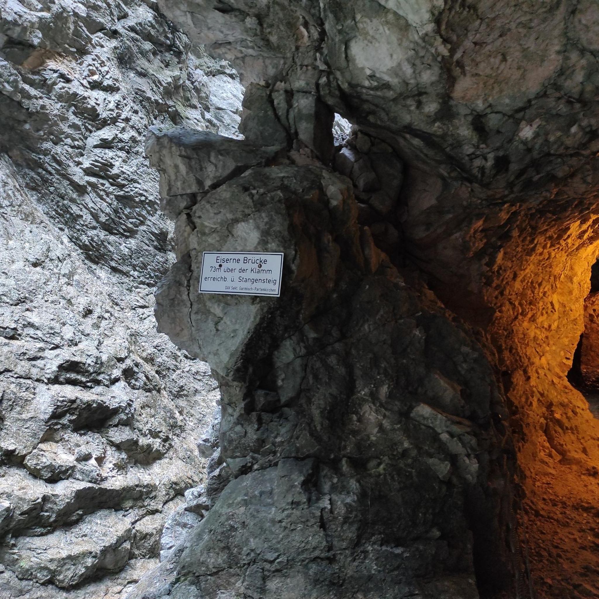
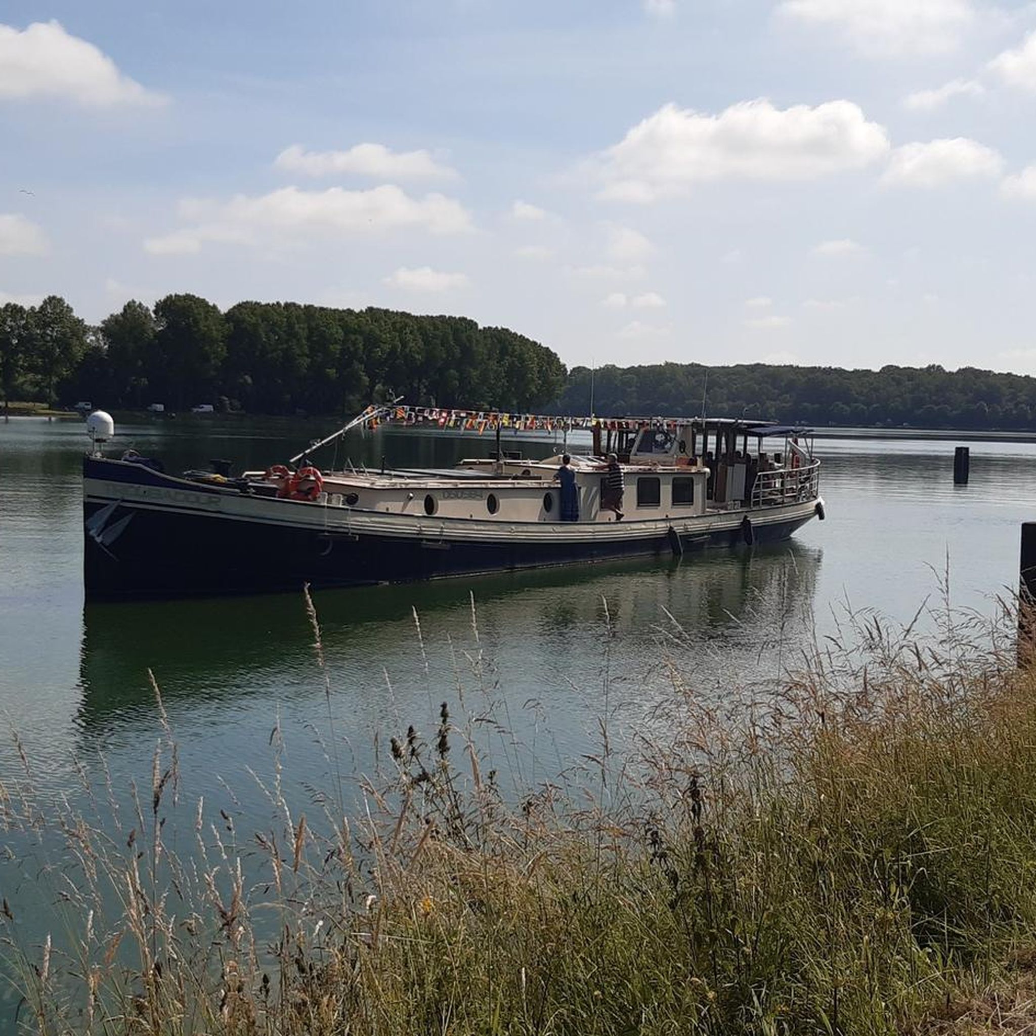
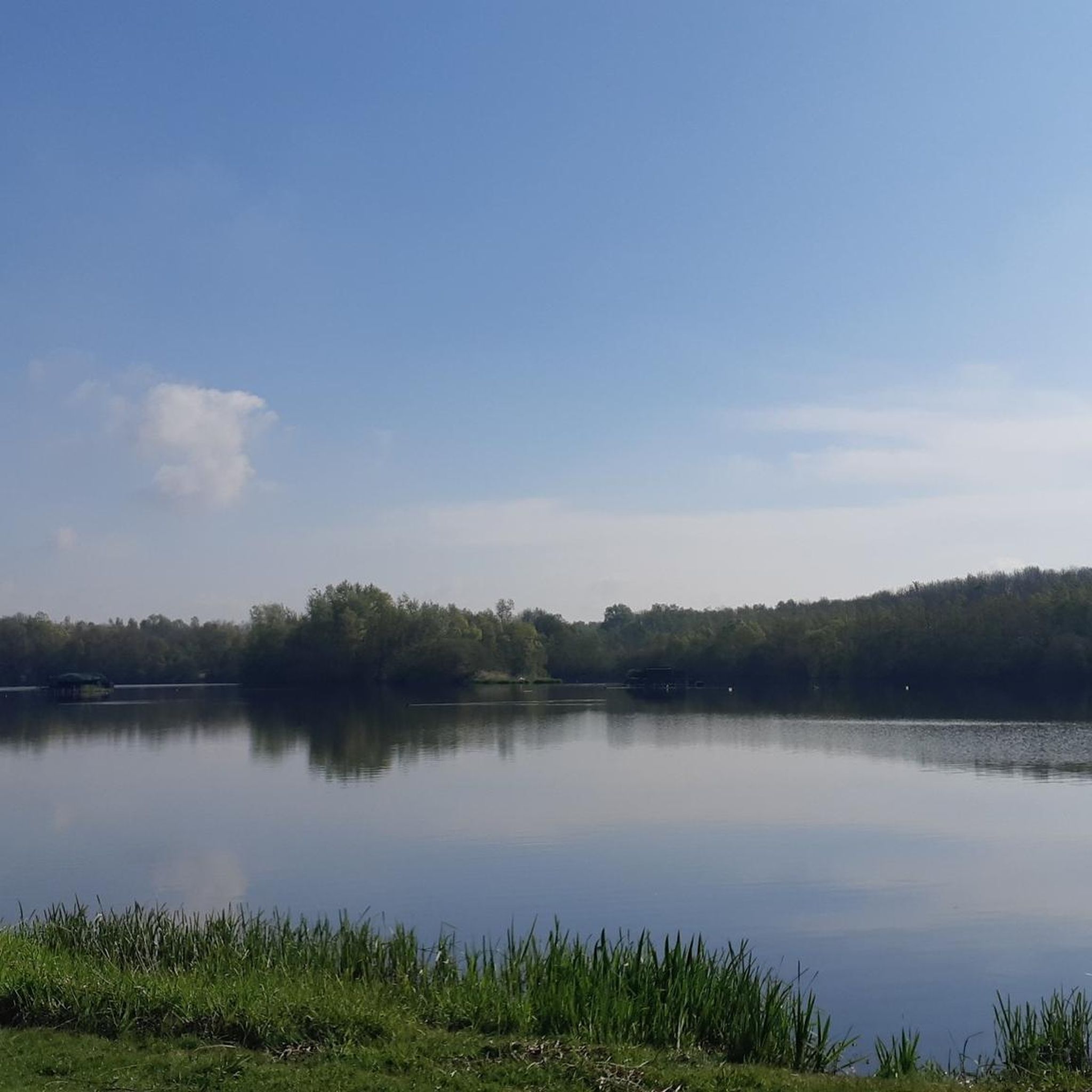
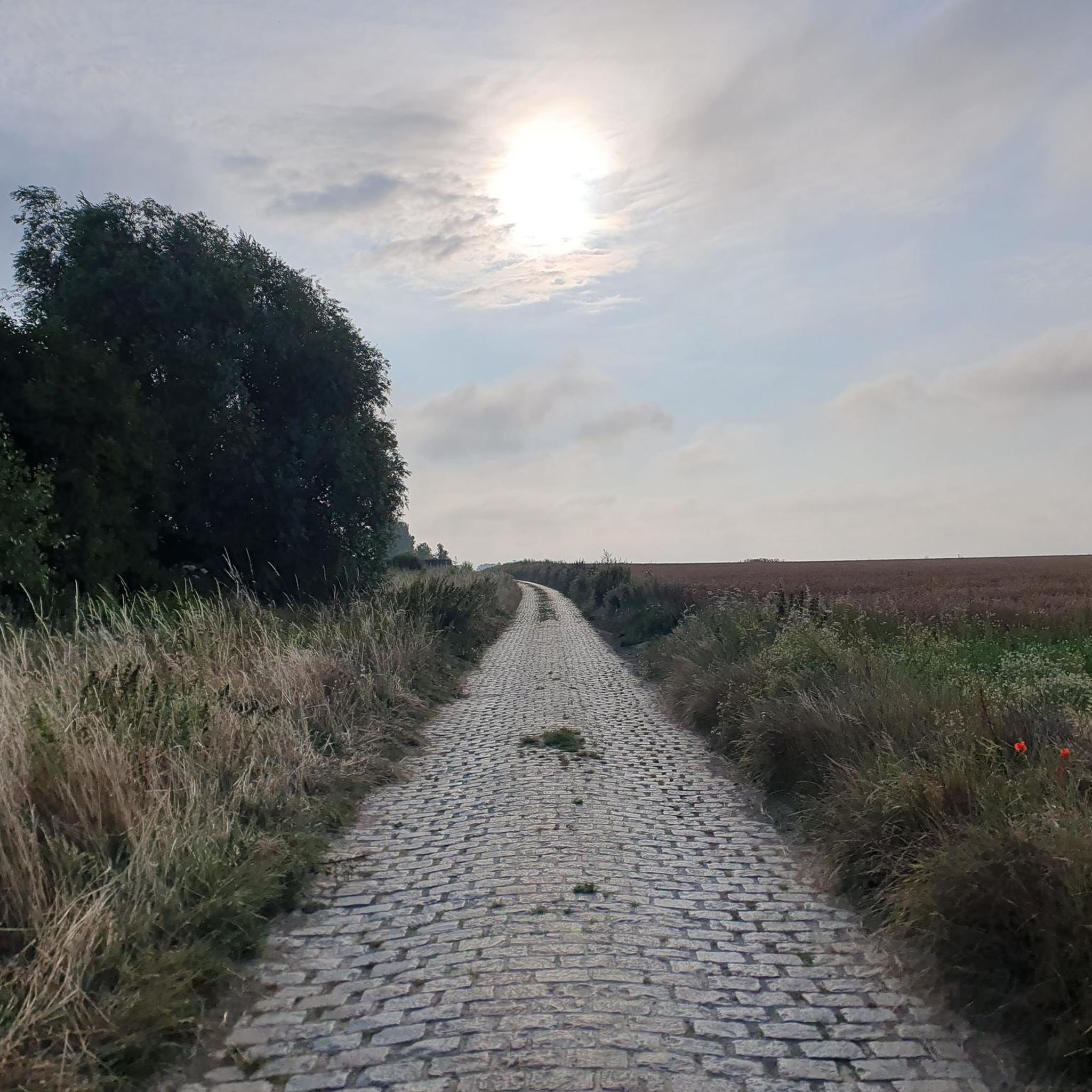

Tips from the Community

Marchipont is a Belgian village located on the border with France. The Aunelle river has divided the village in two since 1779, thus forming a natural border between Belgium and France. Historically, Marchipont was a place of passage and smuggling due to its strategic geographical position.
1
0

With interesting climbs to get there
0
0
Frequently Asked Questions
How many hiking trails are available in Rombies-Et-Marchipont?
Rombies-Et-Marchipont offers a wide selection of outdoor adventures, with over 360 hiking routes available. These trails range from easy strolls to more challenging treks, catering to various fitness levels.
What types of landscapes will I encounter on hikes around Rombies-Et-Marchipont?
The region features diverse landscapes, including dense forests like the Bois d'Angre, significant wetlands such as the Marais d'Harchies-Hensies-Pommerœul Nature Reserve, and charming rural paths. You'll also find unique geological formations and historical elements like chapels along the way.
Are there any easy hiking options suitable for families or beginners?
Yes, Rombies-Et-Marchipont has over 110 easy hiking routes. A great option for a relaxed walk is the Hiking loop from Rombies-et-Marchipont, which is 3.1 miles (5.0 km) long and takes about 1 hour 19 minutes to complete through the local countryside.
What natural landmarks or attractions can I see while hiking in the area?
You can explore significant natural features like Le Caillou-qui-Bique, a striking 25-meter-high stone within the Bois d'Angre forest. Another notable site is the Marais d'Harchies-Hensies-Pommerœul Nature Reserve, known for its extensive reed beds and diverse wildlife.
Are there any circular hiking routes in Rombies-Et-Marchipont?
Yes, many trails in the region are designed as loops. For example, the Marchipoint – Le Ponton de Pech loop from Quiévrechain offers a moderate 6.1-mile (9.9 km) experience, exploring rural charm and diverse landscapes.
What do other hikers enjoy most about the trails in Rombies-Et-Marchipont?
The trails in Rombies-Et-Marchipont are highly rated by the komoot community, with an average score of 4.5 stars. Hikers often praise the varied terrain, the blend of natural beauty with cultural heritage, and the well-maintained paths through forests, wetlands, and rural areas.
Can I find longer, more challenging hikes in the region?
While the majority of trails are moderate, there are 18 difficult routes and 240 moderate routes for those seeking more challenge. These often feature greater elevation changes and longer distances, such as the Marchipoint loop from Quiévrechain, which is 15.2 km long.
Are there any specific trails that pass through the Bois d'Angre forest?
Yes, the Bois d'Angre forest is a significant natural site in the region. The Bois d'Angre – Le Caillou-qui-Bique loop from Sebourg is an excellent moderate 8.7-mile (14.0 km) trail that takes you directly through this forest, featuring the ancient pudding rock and the natural monument Le Caillou-qui-Bique.
What is the best time of year to go hiking in Rombies-Et-Marchipont?
The diverse landscapes of Rombies-Et-Marchipont, with its forests and wetlands, are enjoyable throughout the year. Spring and autumn offer pleasant temperatures and vibrant colors, while summer provides longer daylight hours. Even winter can be beautiful, especially in the forests.
Are there any trails that highlight the region's historical elements?
Many trails in Rombies-Et-Marchipont incorporate elements of local heritage. You'll often find paths that pass by historical chapels, churches like Saint Nicolas de Marchipont, and other cultural sites, reflecting the area's rich past within its rural setting.
Is there public transport access to the hiking trails?
While specific public transport routes directly to every trailhead may vary, the region's proximity to larger towns and its well-established trail networks suggest that some access points might be reachable via local bus services. It's advisable to check local transport schedules for specific starting points.
Are there any cafes or places to rest near the hiking routes?
Yes, you can find places to rest and refresh. For instance, Le Chalet Du Garde is a cafe located within the area, offering a convenient stop for hikers. Many rural routes also pass through villages where local establishments might be available.
Most popular routes around Rombies-Et-Marchipont
Most popular attractions around Rombies-Et-Marchipont

Get inspired with the komoot mobile app


Explore more
Browse the best Hikes in other regions.
