The best MTB trails around Trith-Saint-Léger
4.4
(162)
576
riders
28
rides
Mountain biking around Trith-Saint-Léger offers access to varied terrain within the Nord-Pas-de-Calais region. The area is characterized by extensive trail networks, including paths around local ponds, through forests, and over rewilded terrils (slag heaps). It benefits from its location near the Parc Naturel Régional Scarpe-Escaut and the Forêt Domaniale de Raismes-Saint-Amand-Wallers, providing diverse riding experiences. Greenways along the Canal de l'Escaut also offer accessible routes.
Best mountain bike trails around Trith-Saint-Léger
- The most popular mountain bike trail is Étang Chabaud-Latour…
Last updated: July 10, 2026
4.9
(22)
79
riders
Moderate mountain bike ride. Good fitness required. Suitable for all skill levels.
4.4
(8)
31
riders
53.0km
03:00
150m
150m
Moderate mountain bike ride. Good fitness required. Suitable for all skill levels.

Sign up for free
5.0
(1)
22
riders
49.8km
03:26
330m
330m
Moderate mountain bike ride. Good fitness required. Advanced riding skills necessary.
4.1
(15)
16
riders
34.8km
02:03
130m
130m
Moderate mountain bike ride. Good fitness required. Advanced riding skills necessary.
4.0
(3)
13
riders
32.8km
02:13
210m
210m
Moderate mountain bike ride. Good fitness required. Suitable for all skill levels.
Get access to more routes and recommendations from other explorers.
Sign up for free
Already have an account?
Our route recommendations are based on thousands of hikes, rides, and runs completed by other people on komoot.
Start today with a free account
Your next adventure awaits.
Login or Signup


Tips from the Community

As its name suggests, the "gueules noires" (black mouths) route is also the route of coal. In the past, I had the opportunity to do a cultural circuit between this route and a loop around the Escaut. For lovers of regionalism and history, it is possible to learn a lot about the discovery of coal in Bruay sur l’Escaut, Fresnes sur l’Escaut (the first lump of coal was discovered here and there is a nice little museum near the town hall created by lovers of their history), and in Valenciennes too. Personally, I search a lot on the websites of town halls or tourist offices. Enjoy your walk.
0
0

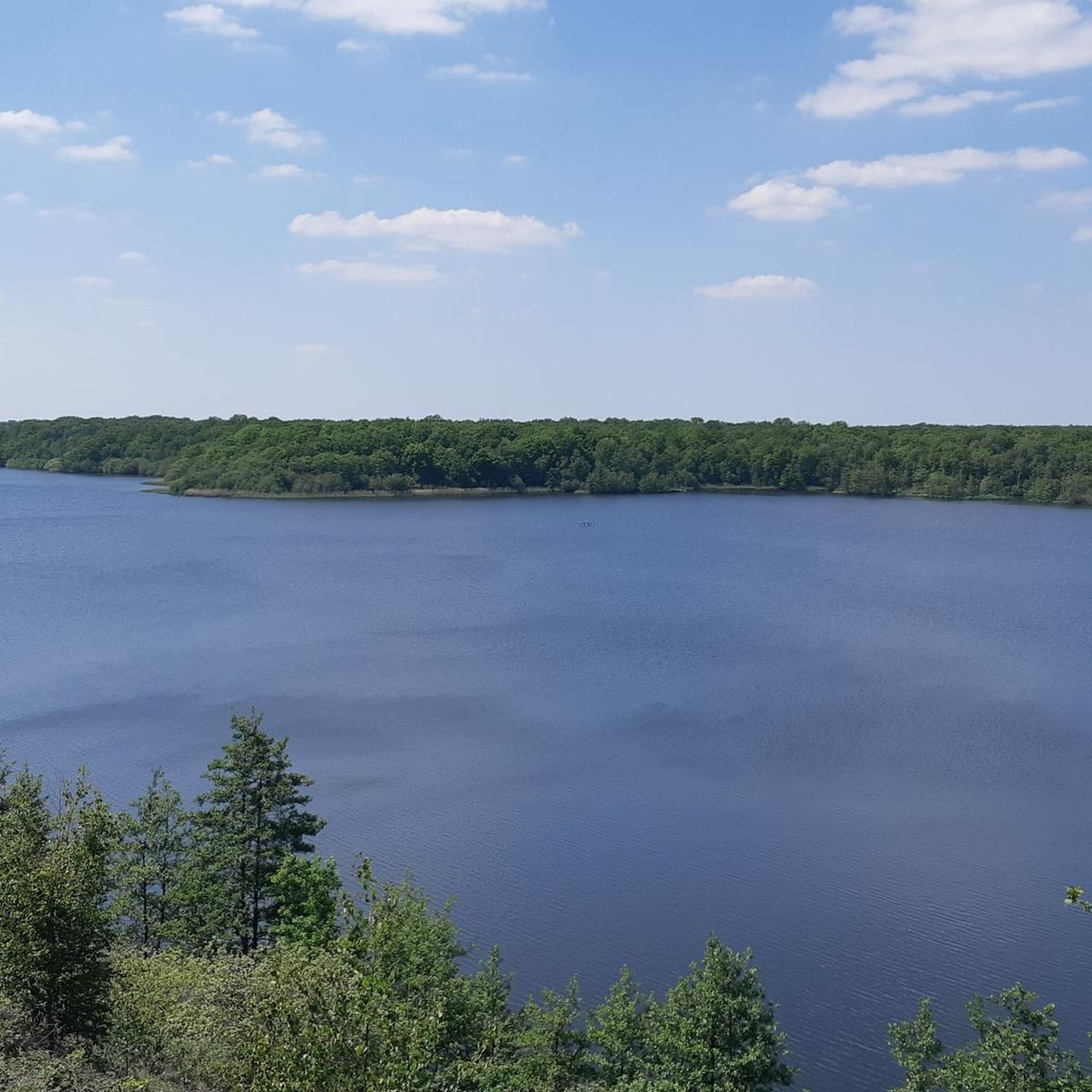
A very beautiful viewpoint overlooking Verchain-Maugré and the countryside southwest of Valenciennes
0
0

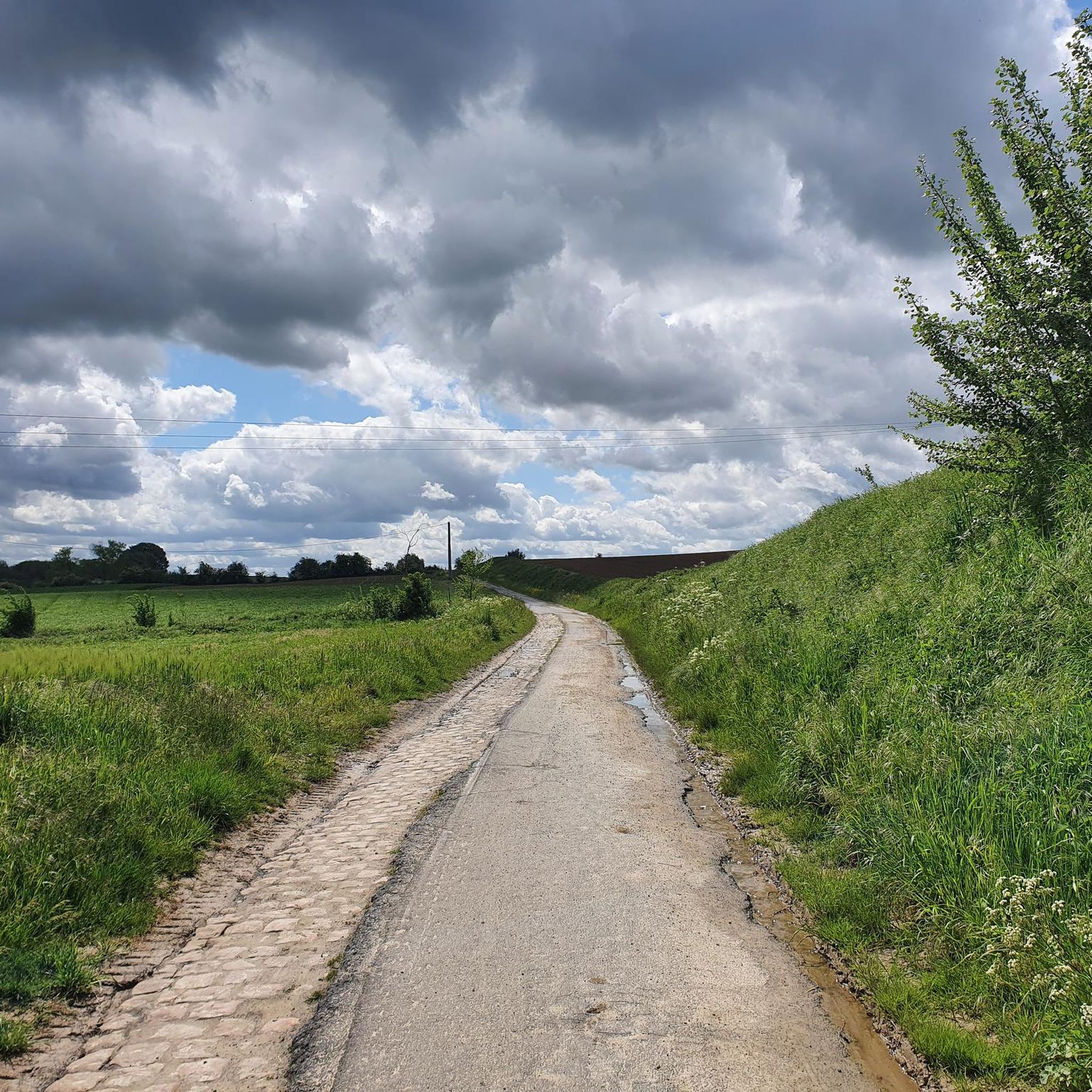
Warning: this hurts your buttocks but it's awesome!
0
0

Lack of maintenance during my visit in September 2025, the vegetation is very present and only leaves part of the base accessible.
0
0


This will enchant you to cycle the Paris Roubaix tour 170 km Troisville - Roubaix
1
0


Frequently Asked Questions
How many mountain bike trails are available around Trith-Saint-Léger?
There are over 20 mountain bike routes around Trith-Saint-Léger, catering to various skill levels. You'll find a good mix of easy and moderate trails to explore the region's diverse landscapes.
What kind of terrain can I expect on mountain bike trails in Trith-Saint-Léger?
The terrain around Trith-Saint-Léger is quite varied. You can expect trails around local ponds like the Étang du Vignoble, through extensive forests such as the Forêt Domaniale de Raismes-Saint-Amand-Wallers, and over unique rewilded terrils (slag heaps) which offer distinct challenges and panoramic views. Greenways along the Canal de l'Escaut also provide flatter, accessible options.
Are there any easy mountain bike routes suitable for beginners?
Yes, there are several easy routes. For example, the Ramparts gate loop from Le Poirier Université is an easy 36.1 km trail that takes under 2 hours to complete, offering a gentle introduction to mountain biking in the area.
What are some notable natural features or landmarks I might see while mountain biking?
You'll encounter diverse natural and historical features. The vast Forêt Domaniale de Raismes-Saint-Amand-Wallers is a major highlight, featuring the famous Trouée d'Arenberg cobblestone section. You can also ride past serene lakes like Goriaux Pond and Vineyard Pond, and experience the unique terrils (slag heaps) that dot the former mining basin.
What do other mountain bikers say about the trails in Trith-Saint-Léger?
The mountain bike routes in Trith-Saint-Léger are highly rated by the komoot community, with an average score of 4.5 stars from over 125 reviews. Riders often praise the varied terrain, from forest paths to greenways, and the opportunities to explore both natural beauty and local heritage.
Are there any circular mountain bike routes starting from Trith-Saint-Léger?
Yes, many routes are designed as loops. A popular moderate option is the Étang Chabaud-Latour – Voie verte des Gueules Noires loop from Trith-Saint-Léger, which is 44.3 km long and connects local ponds with a historic greenway. Another is the Jhj – View of Verchain loop from Trith-Saint-Léger, a 33.1 km trail through varied landscapes.
Can I reach the mountain bike trails using public transport?
Trith-Saint-Léger has local public transport options. While specific trailheads might require a short ride or walk from a bus stop, the town's location within the region makes it generally accessible. For detailed public transport information, it's best to check local bus schedules for routes connecting to specific starting points.
Are there any mountain bike routes that explore local villages?
Yes, some routes offer a chance to cycle through the charming local villages. The Green Path – Small village loop from Trith-Saint-Léger is a moderate 49.3 km path that specifically explores local villages and green paths, providing diverse scenery and a glimpse into the regional life.
What is the best time of year for mountain biking in Trith-Saint-Léger?
The region generally offers good mountain biking conditions from spring through autumn. Spring brings lush greenery, while autumn provides beautiful foliage. Summer is also pleasant, though it's always wise to check local weather forecasts, especially for forest trails that can become muddy after heavy rain.
Are there any routes that follow waterways or canals?
Absolutely. The Canal de l'Escaut traverses Trith-Saint-Léger, and its banks feature greenways like the Voie Verte de la plaine de la Scarpe. The Chemin vert – Waterways loop from Le Poirier Université is a moderate 35.1 km route that incorporates these scenic waterways, offering flat and accessible cycling.
Where can I find more information about the local mountain biking community?
Trith-Saint-Léger has a strong local mountain biking culture, evidenced by the 'VTT CLUB DE TRITH' established in 2021. You can find more information about the club and its activities via the French government's business directory: VTT CLUB DE TRITH.
Most popular routes around Trith-Saint-Léger
Most popular attractions around Trith-Saint-Léger

Get inspired with the komoot mobile app


Explore more
Browse the best MTB trails in other regions.
