The best MTB trails around Tomblaine
4.3
(555)
3,008
riders
231
rides
Mountain biking around Tomblaine offers a variety of terrain, from forested singletracks to open plateaus and canal paths. The region features a mix of gentle gradients along waterways and more challenging climbs over ridge lines and elevated areas. Mountain bikers can explore diverse landscapes, including dense woodlands and scenic plateaus, providing options for different skill levels. The network of routes often includes established paths and natural trails, suitable for various mountain biking experiences.
Best mountain bike trails around Tomblaine
- The…
Last updated: October 22, 2026
3.0
(2)
34
riders
34.3km
01:59
150m
150m
Easy mountain bike ride.
4.8
(41)
26
riders
45.7km
02:27
150m
150m
Moderate mountain bike ride. Good fitness required.

3.0
(1)
16
riders
40.5km
02:23
330m
330m
Moderate mountain bike ride. Good fitness required.
5.0
(3)
14
riders
39.9km
02:15
260m
260m
Moderate mountain bike ride. Good fitness required.
15
riders
14.8km
01:11
230m
230m
Easy mountain bike ride.
Get access to more routes and recommendations from other explorers.
Already have an account?
Our route recommendations are based on thousands of hikes, rides, and runs completed by other people on komoot.
Start today with a free account
Your next adventure awaits.
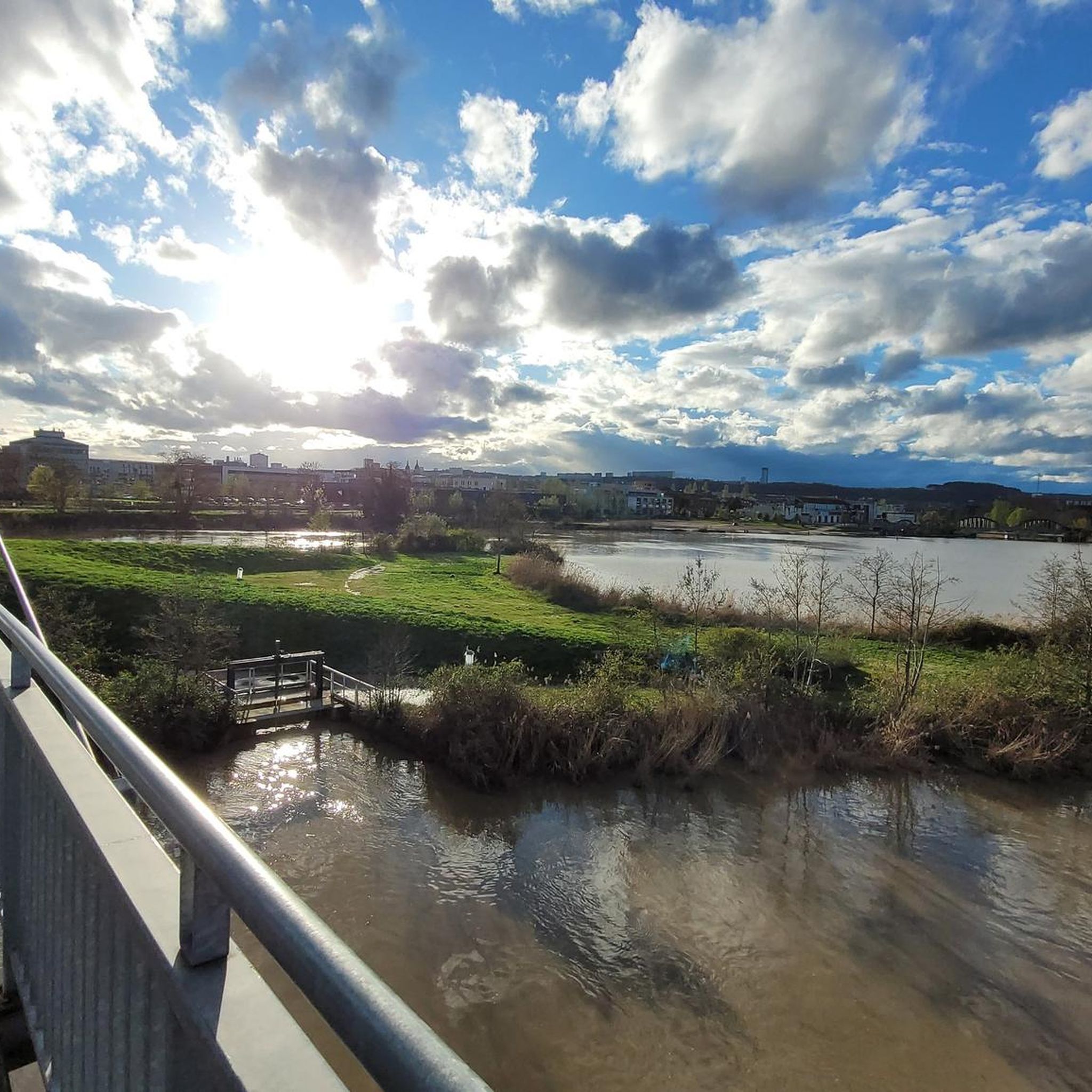
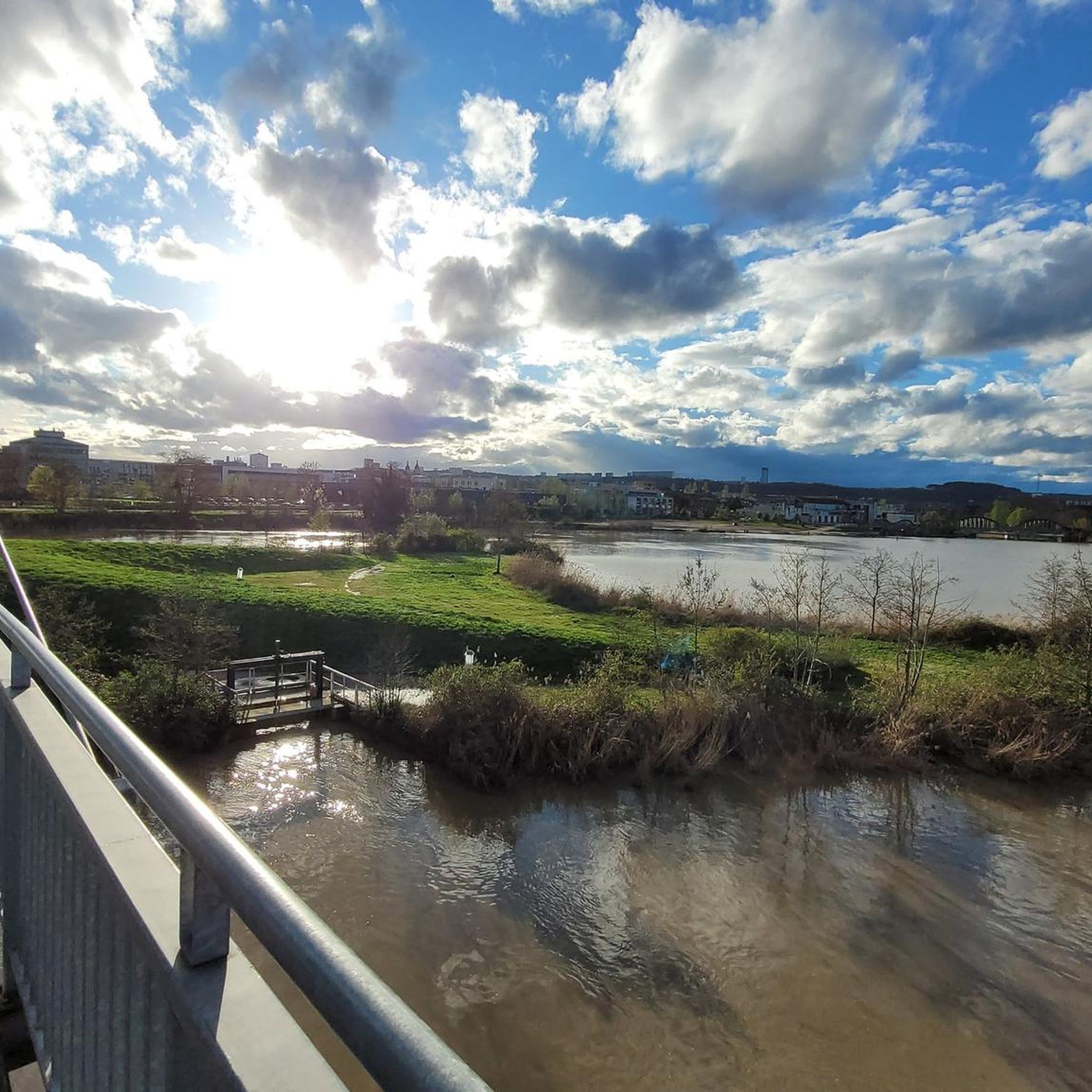
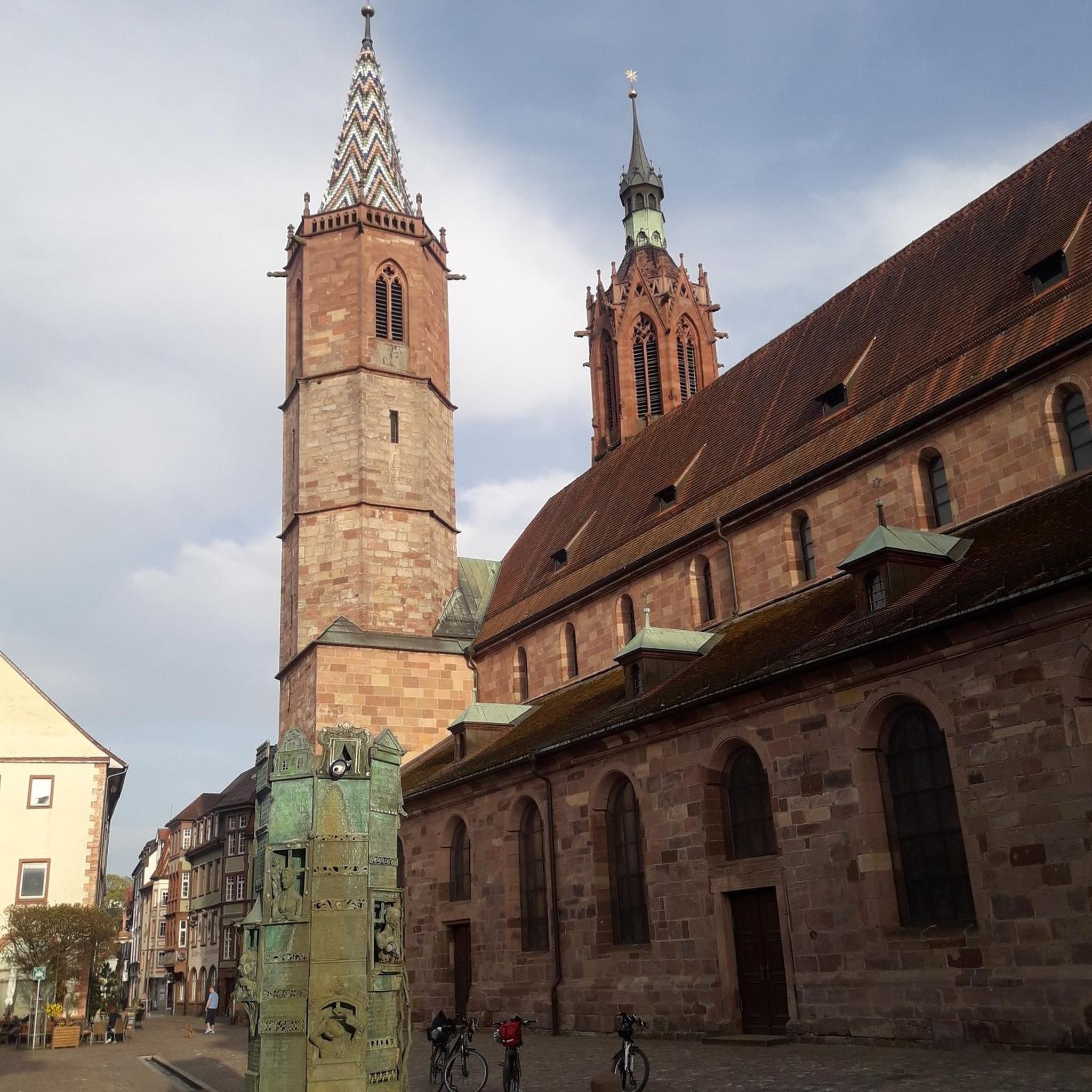
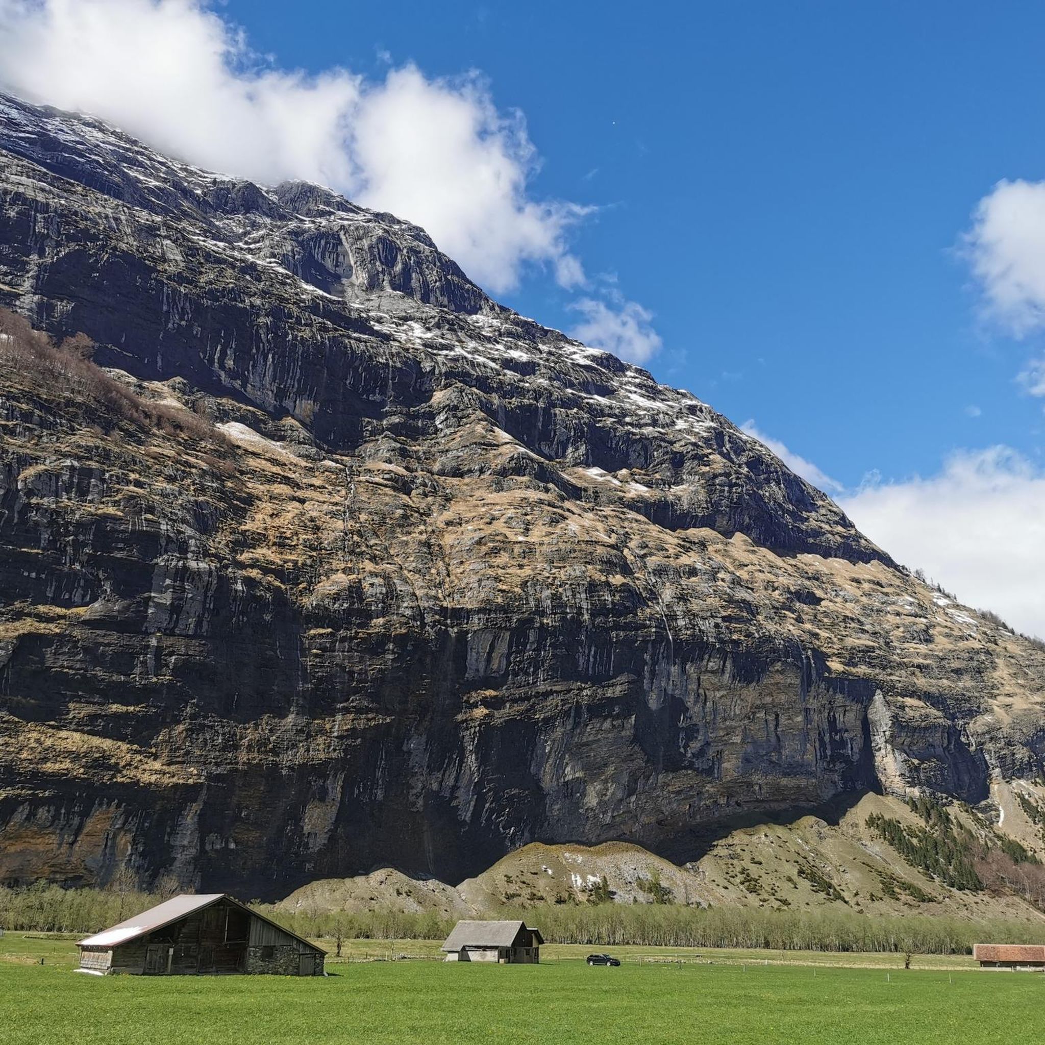
Tips from the Community

gigantic fountain at Place Stanislas
0
0
beautiful old town in Nancy
0
0
nancy is getting ready for the parade today on the national holiday
0
0
great bike path along the canal
0
0
canal bridge with cycle path great view
0
0
beautiful cycle path along the canal
0
0
Frequently Asked Questions
How many mountain bike trails are there around Tomblaine?
There are over 240 mountain bike trails around Tomblaine, offering a wide range of options for different skill levels and preferences.
What is the general difficulty level of mountain bike trails in Tomblaine?
The trails around Tomblaine cater to various skill levels. You'll find a good mix, with approximately 78 easy routes, 157 moderate routes, and 9 more challenging trails for experienced riders.
Are there easy mountain bike trails suitable for beginners or families?
Yes, there are plenty of easy trails. For a gentle ride, consider the Moulin Noir Footbridge – Rucher de la Bouzule loop from Pulnoy, which is 21.0 miles (33.9 km) and classified as easy. Another accessible option is the Canal Path – Marne–Rhine Canal loop from Jarville-la-Malgrange, which offers a relatively flat ride along the waterway.
What kind of terrain can I expect on mountain bike trails in Tomblaine?
You can expect diverse terrain, including forested singletracks, open plateaus, and canal paths. The region features a mix of gentle gradients along waterways and more challenging climbs over ridge lines and elevated areas, providing varied experiences.
Are there challenging mountain bike routes for experienced riders?
Yes, for more experienced riders, there are several challenging routes. While most trails are easy to moderate, there are 9 difficult routes available. The region's ridge lines and dense forests offer opportunities for more technical riding.
What are the typical lengths of mountain bike trails in Tomblaine?
Trail lengths vary significantly. You can find shorter loops, such as the Plateau de Malzéville loop from Saint-Max at 11.7 miles (18.8 km), as well as longer excursions like the Canal Path – Minet Pass (349 m) loop from Jarville-la-Malgrange, which spans nearly 25 miles (39.8 km).
Are most mountain bike trails around Tomblaine loop routes?
Many of the mountain bike trails around Tomblaine are designed as loops, allowing you to start and finish at the same point. This is convenient for planning your ride, especially if you're driving to the trailhead.
When is the best time of year for mountain biking in Tomblaine?
The best time for mountain biking in Tomblaine is generally during spring (April to June) and autumn (September to October). During these seasons, the weather is typically mild, and the forest trails are at their most scenic. Summer can also be good, but be prepared for warmer temperatures, especially in July and August.
What do other mountain bikers enjoy most about the trails in Tomblaine?
The mountain bike trails around Tomblaine are highly rated by the komoot community, with an average score of 4.4 stars from over 400 reviews. Riders often praise the diverse landscapes, from forested singletracks to scenic plateaus, and the variety of routes catering to different skill levels.
Are there any interesting landmarks or attractions near the mountain bike trails?
Yes, the region offers several interesting landmarks. You can explore the historic Stanislas Square or Place de la Carrière. For those interested in waterways, the Marne–Rhine Canal is a notable feature, often paralleled by trails. The Basilica of the Sacred Heart of Nancy is also nearby.
Is parking available near the trailheads in Tomblaine?
While specific parking details for every trailhead are not listed, routes often start from towns or villages like Jarville-la-Malgrange, Pulnoy, or Saint-Max, where public parking is generally available. It's advisable to check the starting point of your chosen route for the most convenient parking options.
Can I expect to see wildlife while mountain biking in Tomblaine?
Given the region's dense woodlands and natural trails, it is possible to encounter various wildlife, especially during quieter times of day or on less frequented paths. Keep an eye out for local birds and small mammals in the forested areas.
Most popular routes around Tomblaine
Most popular attractions around Tomblaine

Get inspired with the komoot mobile app


Explore more
Browse the best MTB trails in other regions.
