The best MTB trails around Dietweiler
4.5
(663)
2,162
riders
314
rides
Mountain biking around Dietweiler offers a diverse landscape characterized by dense forests, tranquil lakes, and gently rolling terrain. The region features a network of trails that wind through wooded areas and open spaces, providing varied surfaces for mountain bikers. Elevation changes are generally moderate, making many routes accessible while still offering engaging sections. The area's natural features provide a scenic backdrop for outdoor activity.
Best mountain bike trails around Dietweiler
- The most popular mountain bike trail is Small lake with…
Last updated: August 27, 2026
3.8
(6)
23
riders
35.0km
02:49
420m
410m
Moderate mountain bike ride. Good fitness required. Advanced riding skills necessary.
5.0
(4)
22
riders
47.6km
02:38
130m
130m
Moderate mountain bike ride. Good fitness required. Suitable for all skill levels.

Sign up for free
4.7
(9)
13
riders
24.8km
02:05
370m
370m
Moderate mountain bike ride. Good fitness required. Advanced riding skills necessary.
4.8
(4)
9
riders
24.1km
01:58
250m
240m
Easy mountain bike ride. Great for any fitness level. Suitable for all skill levels.
4.0
(1)
5
riders
16.4km
01:25
260m
260m
Easy mountain bike ride. Great for any fitness level. Suitable for all skill levels.
Get access to more routes and recommendations from other explorers.
Sign up for free
Already have an account?
Our route recommendations are based on thousands of hikes, rides, and runs completed by other people on komoot.
Start today with a free account
Your next adventure awaits.
Login or Signup
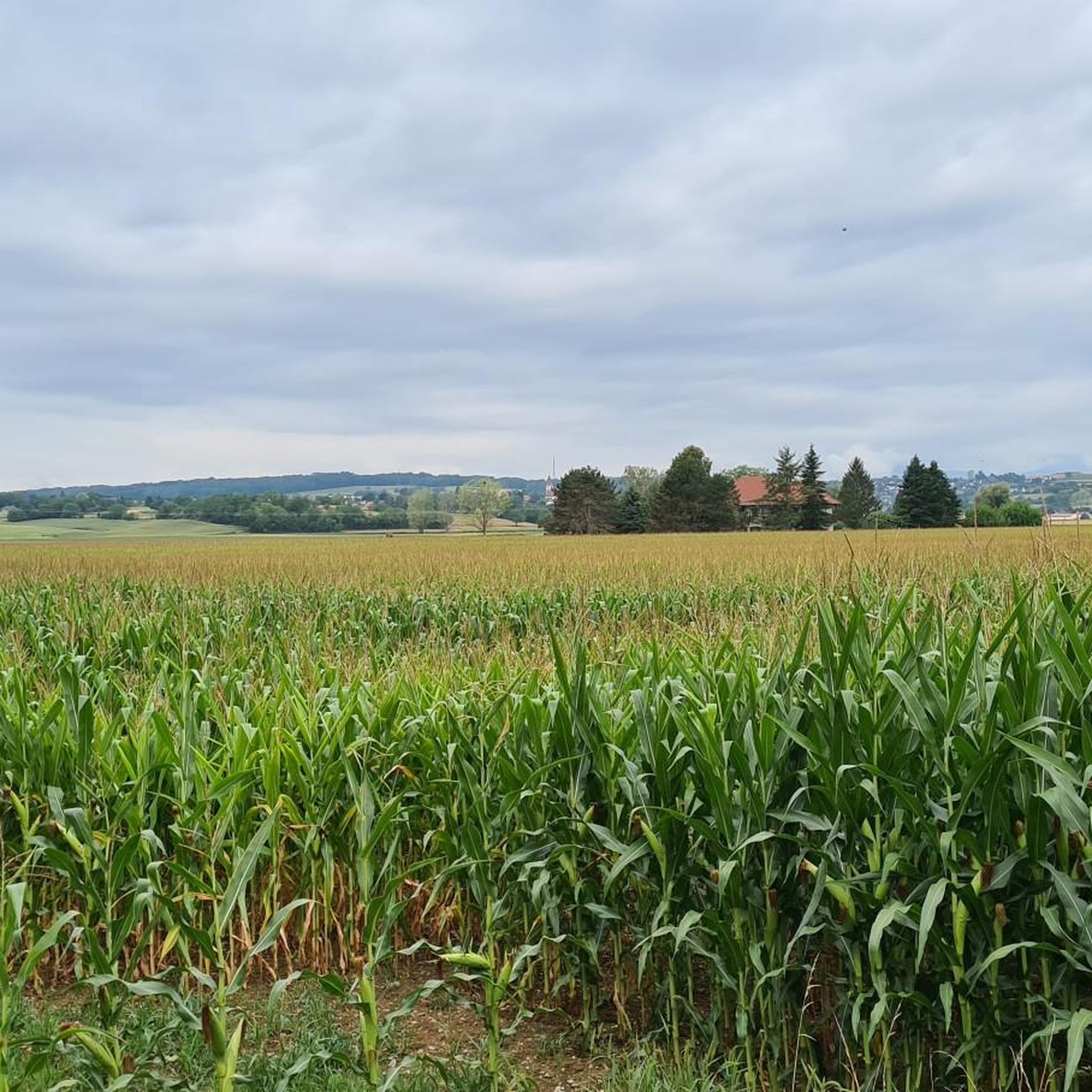
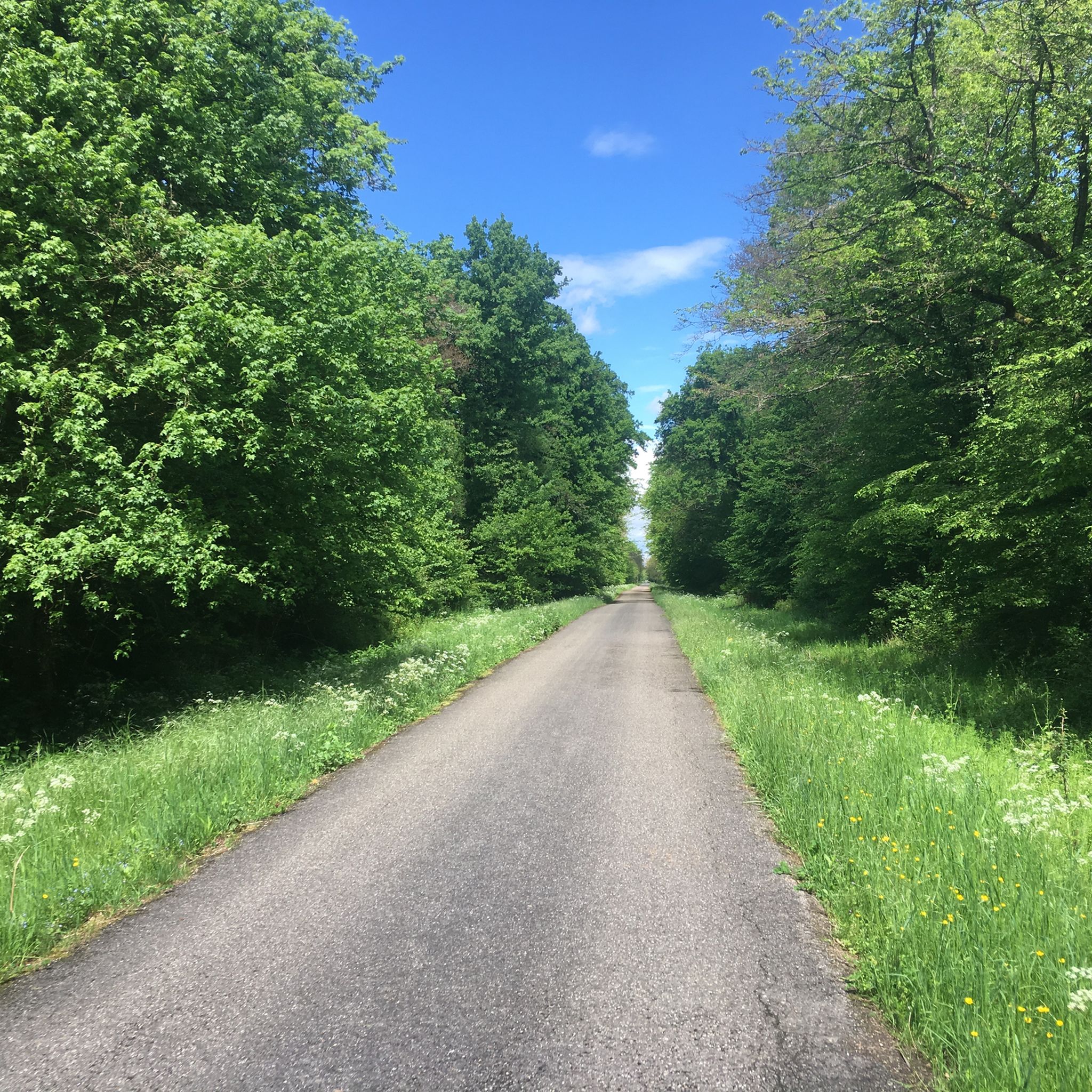
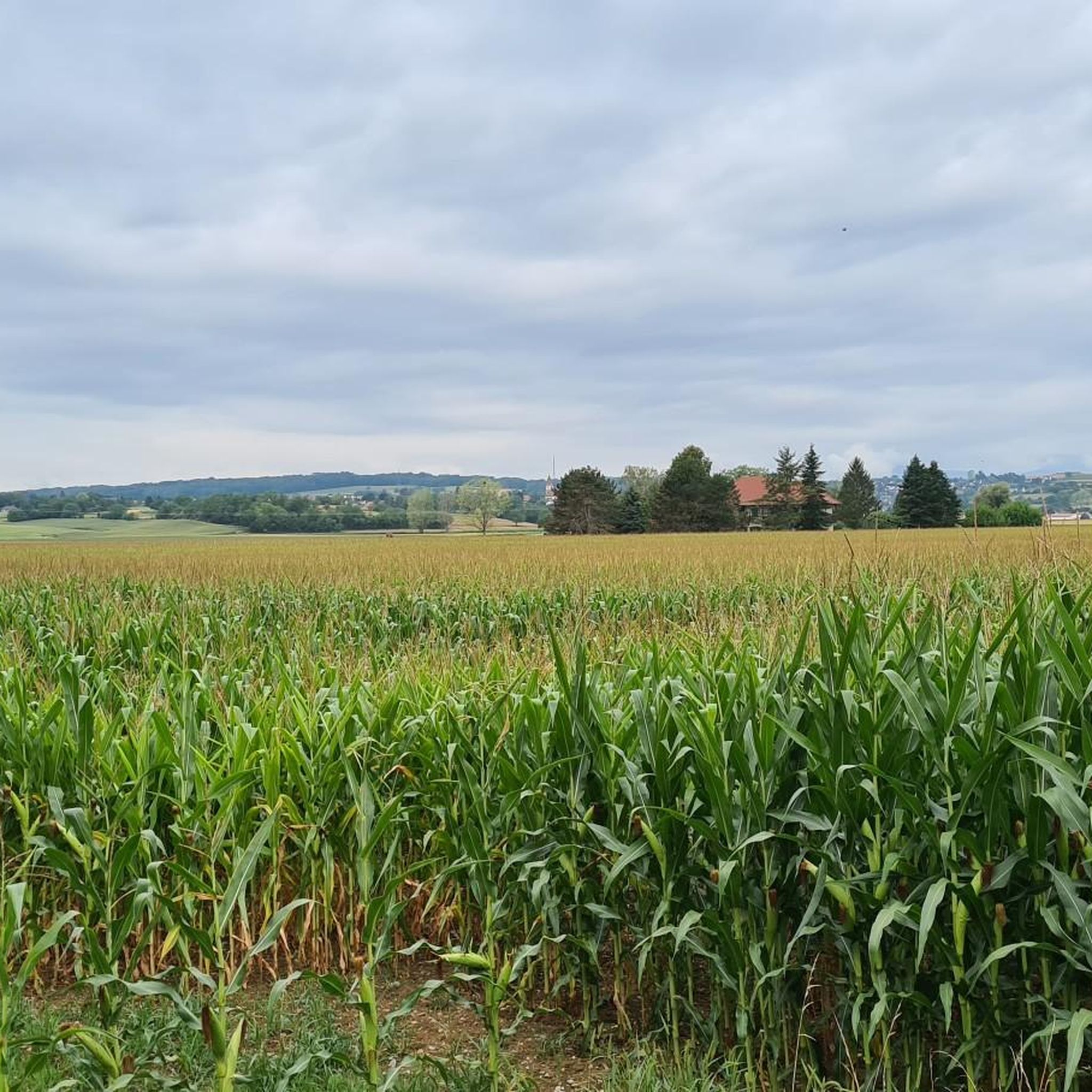
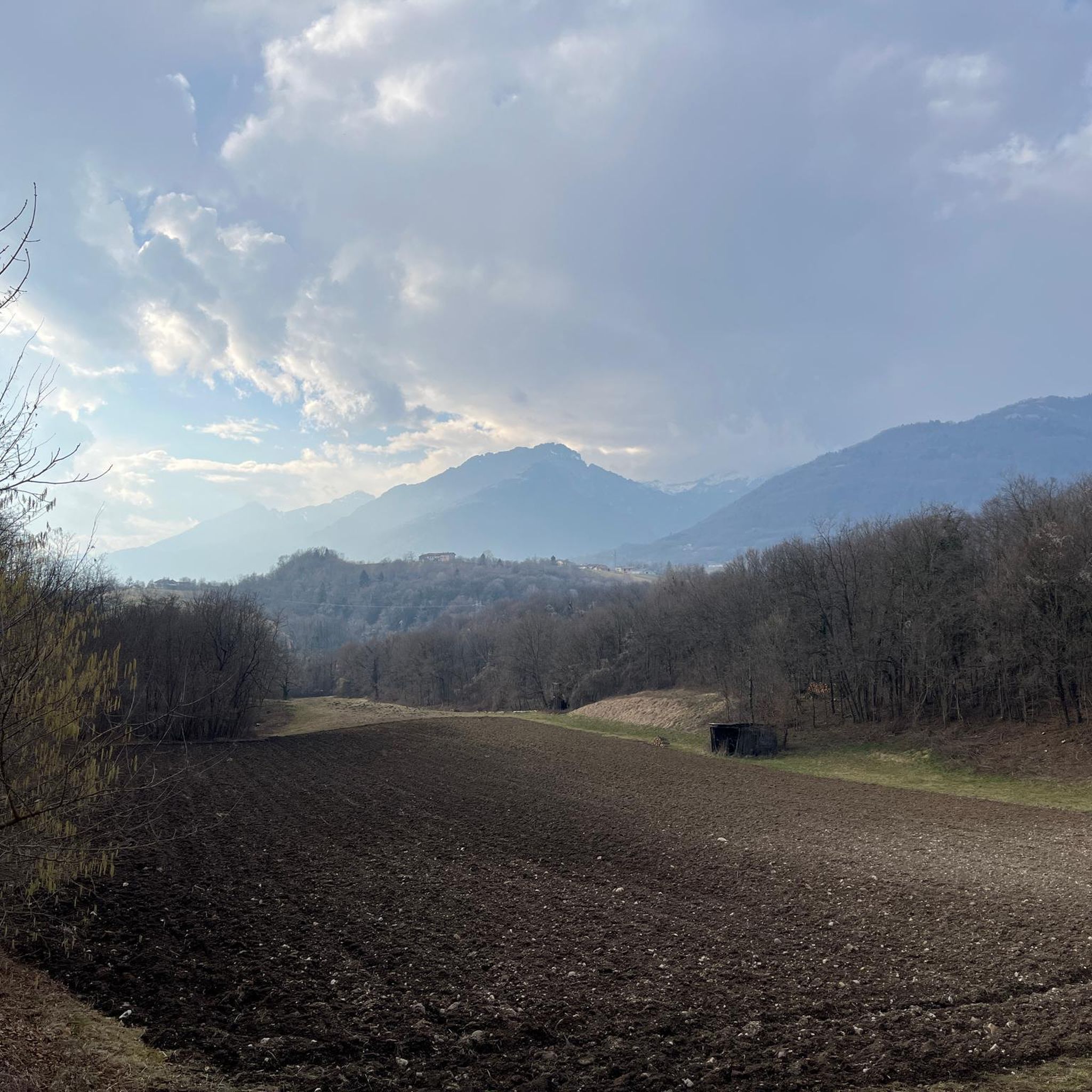
Tips from the Community

unfortunately overgrown due to water traffic
0
0
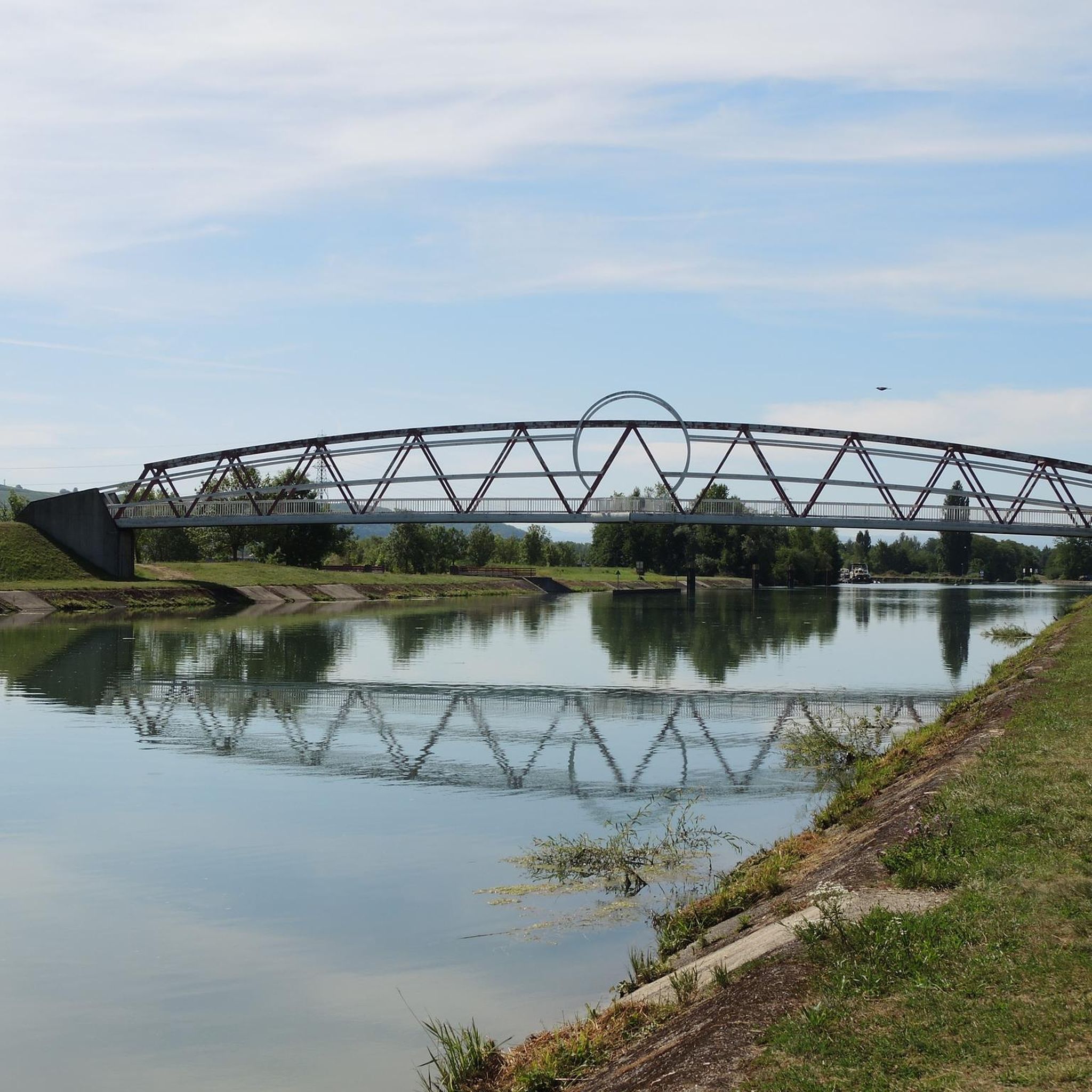
magnificent bridge over the Rhine
0
0

Beautiful bridge and great views.
1
0

A 360° view of all the surrounding massifs. A viewpoint renowned, as evidenced by the sign referring to Frédéric Guillaume de Hohenzollern.
0
0

A pleasant cycle path linking Eschentzwiller to Dietwiller through the fields
0
0
A very pleasant and well-equipped place, ideally located along a cycle path.
0
0

Short MTB / BMX type track in the woods next to the cannel path.
0
0

The Obere Au Observatory, nestled in the heart of the Petite Camargue Alsacienne, is a true haven for nature lovers and birdwatchers. Located in a protected area, this observatory offers an exceptional view of the many birds that inhabit this reserve. Visitors can observe storks, herons, and other iconic species in their natural habitat, while enjoying the peace and serenity of the surrounding landscape. An ideal destination for a total immersion in Alsatian biodiversity.
0
0
Frequently Asked Questions
How many mountain bike trails are available around Dietweiler?
There are over 330 mountain bike routes available around Dietweiler on komoot. This includes a wide range of options, with 93 routes rated as easy, 226 as moderate, and 15 for more difficult rides.
Are there easy mountain bike trails suitable for beginners in Dietweiler?
Yes, Dietweiler offers a good selection of easy mountain bike trails. You'll find 93 routes specifically rated as easy, many of which navigate through the region's dense forests and rolling terrain. An example is the Grand Chêne loop from Mulhouse, which is 14.5 miles (23.3 km) long and takes about 1 hour 55 minutes.
What kind of terrain can I expect on mountain bike trails in Dietweiler?
The mountain bike trails around Dietweiler feature a diverse landscape of dense forests, tranquil lakes, and gently rolling terrain. You'll encounter a network of paths winding through wooded areas and open spaces, offering varied surfaces. Elevation changes are generally moderate, making many routes accessible while still providing engaging sections.
Are there any challenging mountain bike trails for experienced riders?
While many routes are moderate, Dietweiler does offer 15 mountain bike trails rated as difficult for those seeking a greater challenge. These routes will typically feature more significant elevation changes and technical sections.
What is the best time of year for mountain biking in Dietweiler?
The spring, summer, and autumn months generally offer the best conditions for mountain biking in Dietweiler. During these seasons, the weather is typically mild, and the forest trails are in good condition, allowing you to fully enjoy the scenic woodlands and lakes.
Are there mountain bike trails that are suitable for families?
Many of the easy and moderate trails in Dietweiler are suitable for families, especially those with some mountain biking experience. The region's generally moderate elevation changes and well-maintained forest paths make for enjoyable rides. Consider routes like the Nice trailhead – Tannenwald Trail loop from Eschentzwiller for a pleasant family outing.
Are there loop mountain bike trails in Dietweiler?
Yes, many of the mountain bike trails around Dietweiler are designed as loops, allowing you to start and finish at the same point. For example, the Tumulus, Celtic tomb – View of the Alps loop from Mulhouse offers a scenic circular route combining historical sites with distant views of the Alps.
What are some interesting sights or attractions I can see along the mountain bike trails?
The Dietweiler region offers several interesting sights. You might encounter natural features like the Istein Rapids or the Isteiner Klotz and the Cliff Chapel. Historical elements such as the Kembs Drawbridge on the Huningue Canal are also present, adding to the scenic variety of your ride.
What do other mountain bikers enjoy most about the trails in Dietweiler?
The mountain bike trails in Dietweiler are highly rated by the komoot community, with an average score of 4.5 stars from over 590 reviews. Riders often praise the diverse landscape, which includes dense woodlands, serene lakes, and historical markers, providing a varied and engaging experience for all ability levels.
Can I bring my dog on the mountain bike trails in Dietweiler?
Many forest trails in the Dietweiler region are generally dog-friendly, but it's always recommended to keep your dog on a leash, especially in areas with wildlife or other trail users. Please be mindful of local regulations and other cyclists.
What is the typical duration of mountain bike trails in Dietweiler?
The duration of mountain bike trails in Dietweiler varies significantly. You can find shorter routes that take around 1.5 to 2 hours, such as the Grand Chêne loop from Mulhouse. Longer routes, like the Grand Chêne – Memorial Bench in the Forest loop from Landser, can take over 2 hours 40 minutes to complete, offering options for different time commitments.
Are there less crowded mountain bike trails if I prefer a quieter ride?
With over 330 routes available, you can often find less crowded options by exploring trails that are not the most popular or by riding during off-peak hours. The extensive network through dense forests provides ample opportunities for a peaceful ride away from busier sections.
Most popular routes around Dietweiler
Most popular attractions around Dietweiler

Get inspired with the komoot mobile app


Explore more
Browse the best MTB trails in other regions.
