The best walks and hikes around Habsheim
4.6
(1447)
6,965
hikers
613
hikes
Hiking around Habsheim offers diverse experiences across the northeastern edge of the Sundgau region in France. The area features hilly terrain that descends towards the Rhine plain, providing varied elevation changes and panoramic views. Extensive forests, including the Forêt de la Harth, cover a significant portion of the landscape, alongside old orchards and scattered vineyards. Proximity to the Rhine River allows for exploration of its former bed and protected areas rich in biodiversity.
Best hiking trails around Habsheim
- The most popular hiking route is Alpine view – Reservoir loop from Habsheim, a 5.1 miles (8.3 km) trail that takes 2 hours 14 minutes to complete. This route offers views of the surrounding region and passes by a reservoir.
- Another top favourite among local hikers is Reservoir – Leibersheim Memorial loop from Rixheim, a moderate 8.4 miles (13.5 km) path. This trail winds through wooded areas and past historical points of interest.
- Local hikers also love the Hiking loop from Habsheim, a 6.8 miles (11.0 km) trail leading through forests and hills, often completed in about 3 hours 0 minutes.
- Hiking around Habsheim is defined by hilly terrain, dense forests, and views over the Rhine plain, with options for different ability levels. The network includes routes through vineyards and along historical sites.
- The routes in Habsheim are highly rated by the komoot community with an average score of 4.6 stars from over 1,100 reviews. More than 6,000 hikers have used komoot to explore Habsheim's varied terrain.
Last updated: July 1, 2026
4.8
(12)
52
hikers
8.63km
02:22
140m
140m
Moderate hike. Good fitness required. Easily-accessible paths. Suitable for all skill levels.
4.8
(5)
13
hikers
13.5km
03:44
230m
230m
Moderate hike. Good fitness required. Easily-accessible paths. Suitable for all skill levels.

Sign up for free
4.0
(1)
13
hikers
4.66km
01:15
60m
60m
Easy hike. Great for any fitness level. Easily-accessible paths. Suitable for all skill levels.
13
hikers
4km
01:06
70m
70m
Easy hike. Great for any fitness level. Easily-accessible paths. Suitable for all skill levels.
4.5
(2)
12
hikers
11.0km
03:01
170m
170m
Moderate hike. Good fitness required. Easily-accessible paths. Suitable for all skill levels.
Get access to more routes and recommendations from other explorers.
Sign up for free
Already have an account?
Our route recommendations are based on thousands of hikes, rides, and runs completed by other people on komoot.
Start today with a free account
Your next adventure awaits.
Login or Signup
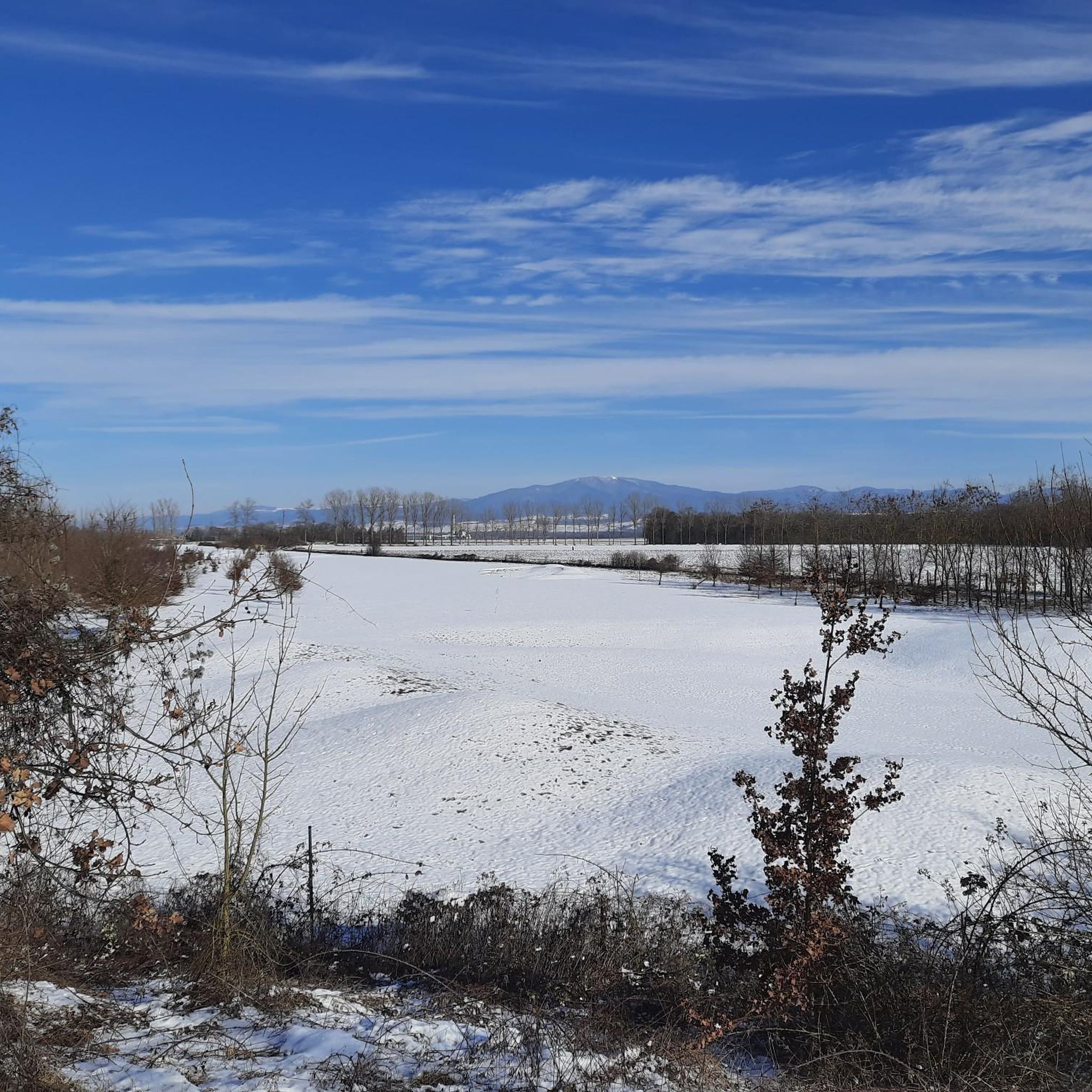
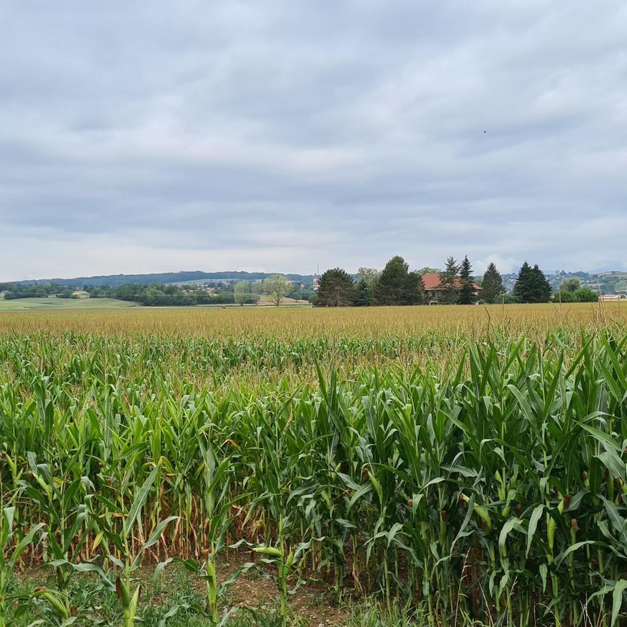
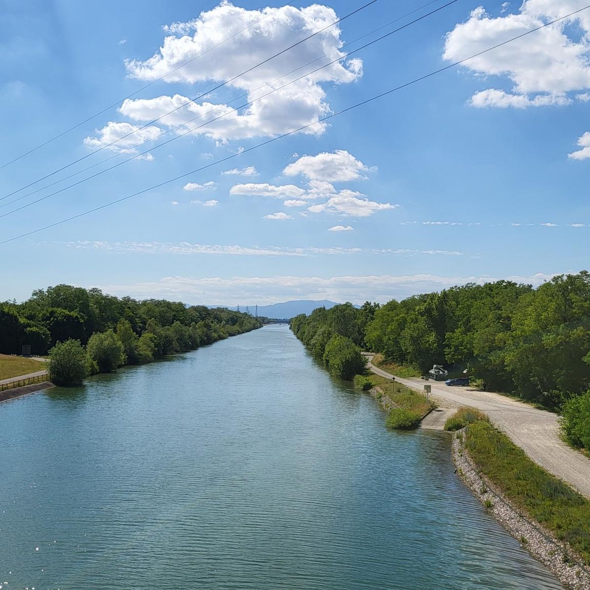

Tips from the Community

Beautiful spot in the vast hills overlooking Habsheim
0
0

Take a sheltered break in case of rain
0
0
Frequently Asked Questions
How many hiking trails are available around Habsheim?
There are over 500 hiking routes around Habsheim, catering to various skill levels. You'll find a wide selection of trails, from easy strolls to more challenging hikes through diverse landscapes.
What kind of terrain can I expect on hikes in Habsheim?
Habsheim offers varied terrain, from the hilly landscapes of the Bas-Sundgau providing panoramic views to flat sections along the former bed of the Rhine River. You'll encounter dense forests, old orchards, and even scattered vineyards, ensuring a diverse hiking experience.
Are there easy hiking trails suitable for beginners or families in Habsheim?
Yes, Habsheim has over 280 easy hiking trails. For a gentle walk, consider the Memorial of Flight 296 Crash loop from Rixheim, which is just over 5 km. The region also features educational trails like the 'Sentier des Deux Chênes' with wooden sculptures, perfect for families.
What are some notable landmarks or viewpoints I can discover while hiking in Habsheim?
Many trails offer extensive panoramic views of the Hardt forest, Basel, the Black Forest, and even the Alps on clear days. You can also explore natural features like the Istein Rapids and the unique geological formations of the Isteiner Klotz and the Cliff Chapel. Historical sites such as the Kembs Drawbridge on the Huningue Canal are also accessible.
Are there any circular hiking routes in Habsheim?
Yes, many routes in Habsheim are circular. An example is the Hiking loop from Habsheim, which is 11 km long and takes about 3 hours, leading through forests and hills. Another option is the Alpine view – Reservoir loop from Habsheim, a 8.3 km trail offering scenic views.
What do other hikers say about the trails in Habsheim?
The trails in Habsheim are highly regarded by the komoot community, with an average rating of 4.6 stars from over 1,100 reviews. Hikers often praise the diverse landscapes, well-maintained paths, and the beautiful panoramic views available from various points.
Can I find trails that explore the Rhine River area near Habsheim?
Absolutely. The proximity to the Rhine River allows for exploration of its former bed, particularly between the Kembs hydroelectric plant and the Grand Marais trail. These routes offer insights into the river's history and the protected areas known as the 'Little Alsatian Camargue,' rich in biodiversity. You can also see the Huningue Canal.
Are there any historical sites or points of interest along the hiking routes?
Yes, hiking routes can lead to various historical and cultural sites. For instance, paths near Flaxlanden include a Lourdes Grotto and a First World War military site. The 'Little Alsatian Camargue' area features natural and industrial sites like the Kembs Drawbridge and the EDF Kembs Hydroelectric Power Plant.
How long do hikes around Habsheim typically take?
Hikes around Habsheim vary in length and duration. For example, the Alpine view – Reservoir loop from Habsheim is about 8.3 km and takes around 2 hours 14 minutes, while the Hiking loop from Habsheim is 11 km and typically takes 3 hours. There are also shorter, easier routes for quicker outings.
What is the best time of year for hiking in Habsheim?
Habsheim offers pleasant hiking conditions throughout much of the year. Spring and autumn provide mild temperatures and beautiful scenery with blooming flowers or vibrant fall foliage. Summer is also popular, especially in the shaded forest areas, while winter can offer unique, crisp walks, though some paths might be less accessible depending on snow conditions.
Are there trails that connect Habsheim with neighboring villages?
Yes, there are trails that link Habsheim with nearby villages such as Zimmersheim and Eschentzwiller. These inter-village hikes often provide additional scenic viewpoints over the Rhine plain, the Black Forest, and the Vosges mountains, enriching your exploration of the region.
Can I find trails with specific historical significance?
Certainly. The Tumulus, Celtic tomb – Leibersheim Memorial loop from Zimmersheim is an example of a route that passes by historical sites, including a Celtic tomb. The region's history, from ancient settlements to industrial developments along the Rhine, is woven into many of its hiking paths.
Most popular attractions around Habsheim

Get inspired with the komoot mobile app


Explore more
Browse the best Hikes in other regions.
