The best walks and hikes around Riedisheim
4.6
(196)
1,300
hikers
45
hikes
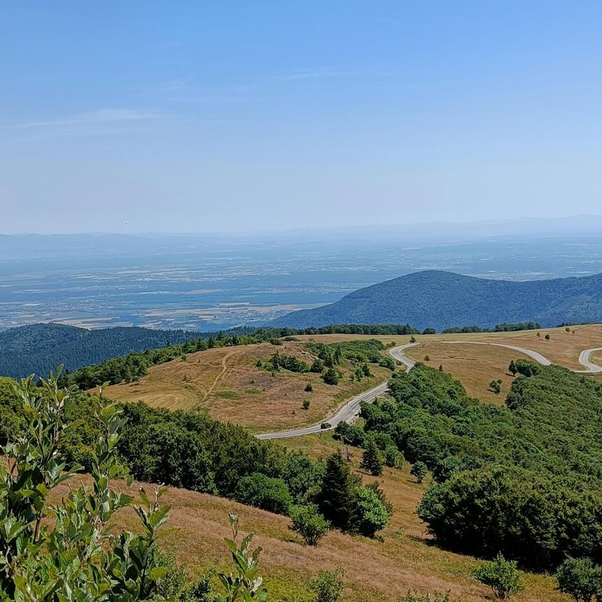
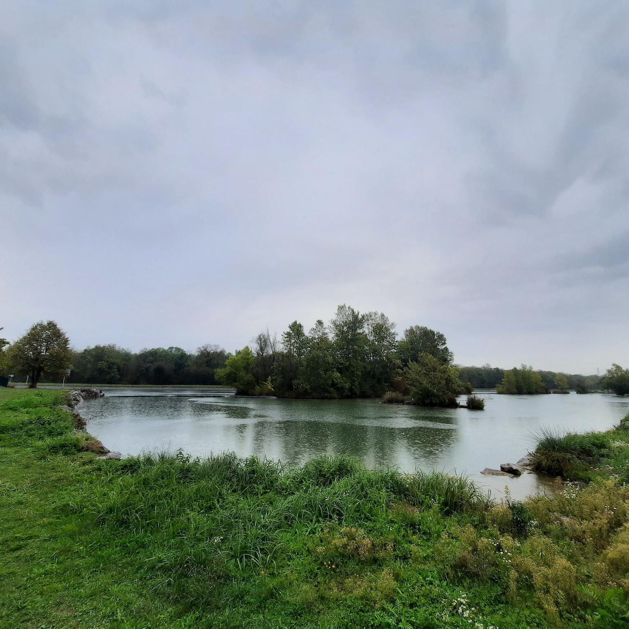
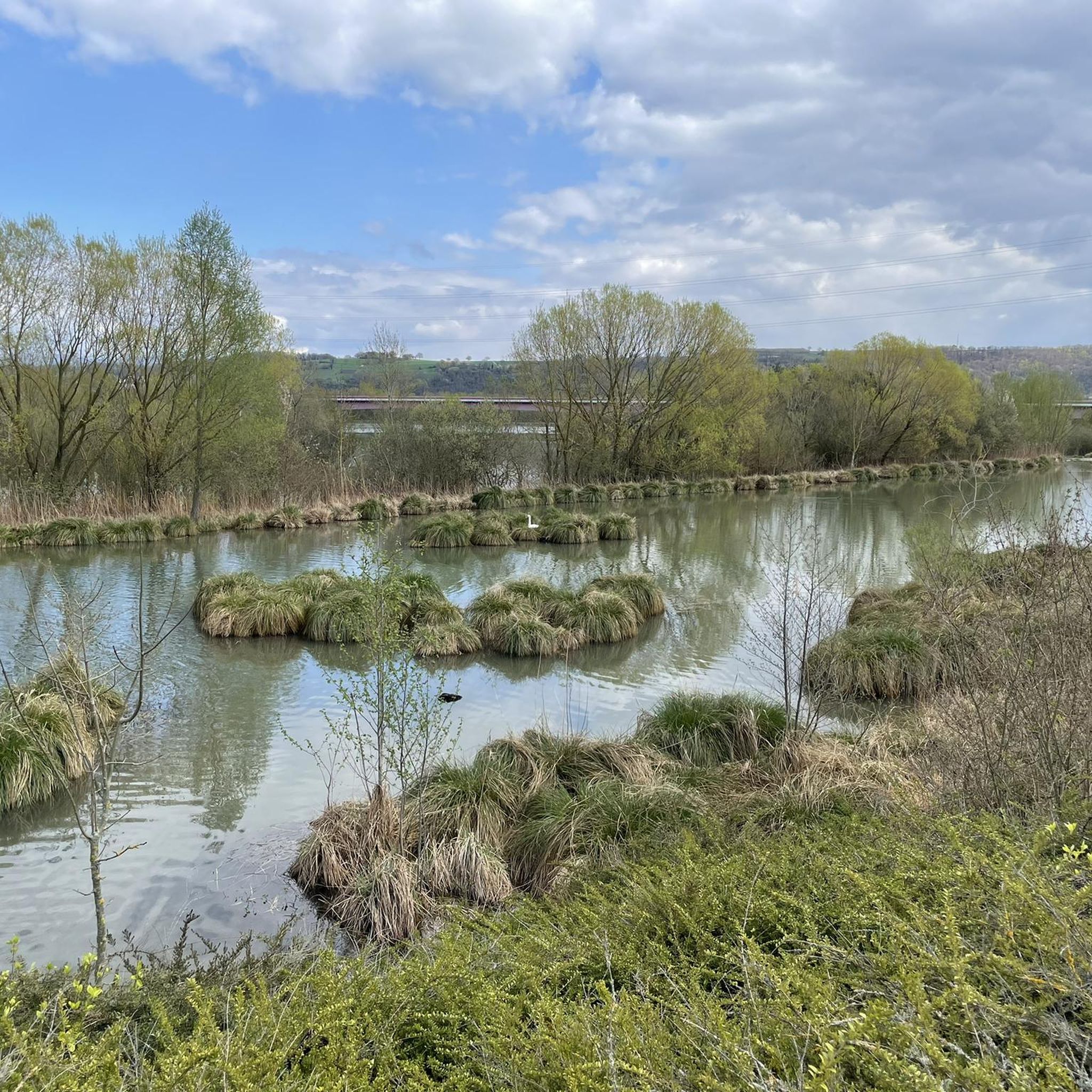
Hiking around Riedisheim offers access to diverse landscapes within the Alsace region of France. The area is characterized by its proximity to the Rhine River and the expansive Plain of Alsace, providing opportunities for flatter routes. To the west, the Vosges Mountains present varied terrains with forests and rounded summits. This blend of riverine, plain, and mountain environments creates a range of hiking experiences.
Best hiking trails around Riedisheim
- The most popular hiking route is Leibersheim Memorial – Riedisheim loop…
Last updated: July 2, 2026
5.0
(2)
24
hikers
5.85km
01:34
70m
70m
Easy hike. Great for any fitness level. Easily-accessible paths. Suitable for all skill levels.
4.0
(2)
18
hikers
9.07km
02:29
140m
140m
Moderate hike. Good fitness required. Easily-accessible paths. Suitable for all skill levels.

Sign up for free
5.0
(2)
21
hikers
9.06km
02:27
120m
120m
Moderate hike. Good fitness required. Easily-accessible paths. Suitable for all skill levels.
13
hikers
5.18km
01:25
80m
80m
Hard hike. Great for any fitness level. Sure-footedness, sturdy shoes and alpine experience required.
3.5
(2)
7
hikers
20.2km
05:32
320m
320m
Hard hike. Very good fitness required. Easily-accessible paths. Suitable for all skill levels.
Get access to more routes and recommendations from other explorers.
Sign up for free
Already have an account?
Our route recommendations are based on thousands of hikes, rides, and runs completed by other people on komoot.
Start today with a free account
Your next adventure awaits.
Login or Signup

Tips from the Community

In front of the entrance to the cemetery of Riedisheim is an impressive 'memorial' that recalls the war.
2
0
The municipality of Riedisheim is part of the district of Mulhouse and since March 22, 2015, when the canton of Habsheim, of which Riedisheim was part, was abolished, of the canton of Rixheim. The commune, originally a village, is highly urbanized and is located southeast of Mulhouse with which it forms an urban area. There is no industry in the municipality and the average income of the inhabitants is higher than that of the rest of the urban agglomeration. Source: Wikipedia
2
0
Frequently Asked Questions
How many hiking trails are available around Riedisheim?
There are over 40 hiking trails around Riedisheim, offering a variety of experiences. These routes range from easy strolls through local green spaces to more challenging paths exploring the wooded sections and gentle elevation changes towards the Vosges Mountains.
What kind of terrain can I expect on hikes near Riedisheim?
Hikes near Riedisheim offer diverse terrain. You can expect routes through the expansive Plain of Alsace, along the Rhine River, and into the deep forests surrounding the area. To the west, the trails extend towards the Vosges Mountains, featuring rounded summits and varied landscapes.
Are there easy hiking options for beginners or casual walkers?
Yes, Riedisheim offers plenty of easy hiking options. Approximately half of the trails, over 20 routes, are classified as easy. An example is the Leibersheim Memorial – Riedisheim loop from Riedisheim, an easy 5.8 km trail that winds through local green spaces.
What is the best time of year to go hiking in Riedisheim?
The Alsace region, including Riedisheim, is beautiful for hiking in spring, summer, and autumn. Spring brings blooming flora, summer offers warm weather for forest walks, and autumn showcases vibrant foliage. While winter hiking is possible, conditions can vary, especially in higher elevations of the nearby Vosges Mountains.
Are there any interesting landmarks or natural features to see while hiking near Riedisheim?
Yes, the area around Riedisheim is rich in natural and historical sights. You might encounter features like the Niffer Lock or the Rhône–Rhine Canal. Further afield, the Vosges Mountains offer stunning views and glacial lakes, while the "Grand Ried" natural environment is known for its diverse flora and fauna, including storks.
What do other hikers say about the trails in Riedisheim?
The trails in Riedisheim are highly regarded by the komoot community, with an average rating of 4.7 stars from over 170 reviews. Hikers often praise the well-maintained paths, the blend of forest and open field sections, and the accessibility to diverse landscapes like the Plain of Alsace and views towards the Vosges Mountains.
Are there any family-friendly hiking trails in Riedisheim?
Many of the easy trails around Riedisheim are suitable for families. These routes often pass through green spaces and local forests with gentle elevation changes, making them enjoyable for all ages. Consider exploring the numerous easy loops that allow for a pleasant outing with children.
Can I bring my dog on hikes around Riedisheim?
Generally, dogs are welcome on hiking trails in the Alsace region. It's always recommended to keep your dog on a leash, especially in nature reserves, agricultural areas, or when encountering wildlife. Please ensure you clean up after your pet to maintain the natural environment for everyone.
Are there circular hiking routes available?
Yes, many of the hiking routes around Riedisheim are circular, allowing you to start and end at the same point. For example, the Leibersheim Memorial – Single a haute dose loop from Riedisheim is a moderate 9.1 km path that explores wooded sections and offers gentle elevation changes.
What are the options for parking when hiking in Riedisheim?
Parking is generally available in and around Riedisheim, particularly near trailheads or in designated parking areas within the town. For specific routes, it's advisable to check the starting point on komoot for potential parking information. Many local routes are accessible from residential areas with street parking.
How can I access hiking trails in Riedisheim using public transport?
Riedisheim benefits from good public transport connections within the Alsace region. You can often reach trailheads by local bus services. The region's excellent public transport also facilitates access to other notable hiking spots in the wider Vosges area, such as those around Mulhouse.
What is the typical duration of hikes around Riedisheim?
The duration of hikes varies depending on the route's length and difficulty. Easy trails, like the 5.8 km Leibersheim Memorial – Riedisheim loop, can take around 1 hour 30 minutes. Moderate routes, such as the 9.1 km Riedisheim – Leibersheim Memorial loop, typically take about 2 hours 30 minutes to complete.
Where can I find less crowded hiking trails near Riedisheim?
To find less crowded trails, consider exploring some of the lesser-known paths deeper within the local forests or venturing slightly further into the Vosges foothills. While popular routes are well-loved, the extensive network of over 17,000 km of marked trails in Alsace means there are always quieter options to discover, especially during off-peak hours or weekdays.
Most popular routes around Riedisheim
Most popular attractions around Riedisheim

Get inspired with the komoot mobile app


Explore more
Browse the best Hikes in other regions.
