The best walks and hikes around Juvignac
4.4
(834)
6,001
hikers
17
hikes
Hiking around Juvignac offers access to a diverse landscape characterized by river valleys, natural parks, and historical sites. The region features generally gentle terrain with some moderate inclines, making it suitable for various activity levels. Trails often follow waterways like the Mosson River and pass through green spaces and cultural landmarks.
Best hiking trails around Juvignac
- The most popular hiking route is La Mosson Waterfall – Avy Spring loop from Grabels, a 3.5 miles (5.6 km) trail that takes…
Last updated: June 25, 2026
4.6
(47)
114
hikers
6.10km
01:40
90m
100m
Easy hike. Great for any fitness level. Easily-accessible paths. Suitable for all skill levels.
3
hikers
15.4km
04:05
150m
150m
Moderate hike. Good fitness required. Easily-accessible paths. Suitable for all skill levels.

Sign up for free
4.0
(1)
5
hikers
8.41km
02:12
70m
70m
Moderate hike. Good fitness required. Easily-accessible paths. Suitable for all skill levels.
6
hikers
7.13km
02:04
150m
150m
Hard hike. Good fitness required. Sure-footedness, sturdy shoes and alpine experience required.
4.0
(1)
4
hikers
11.9km
03:14
130m
130m
Hard hike. Good fitness required. Sure-footedness, sturdy shoes and alpine experience required.
Get access to more routes and recommendations from other explorers.
Sign up for free
Already have an account?
Our route recommendations are based on thousands of hikes, rides, and runs completed by other people on komoot.
Start today with a free account
Your next adventure awaits.
Login or Signup
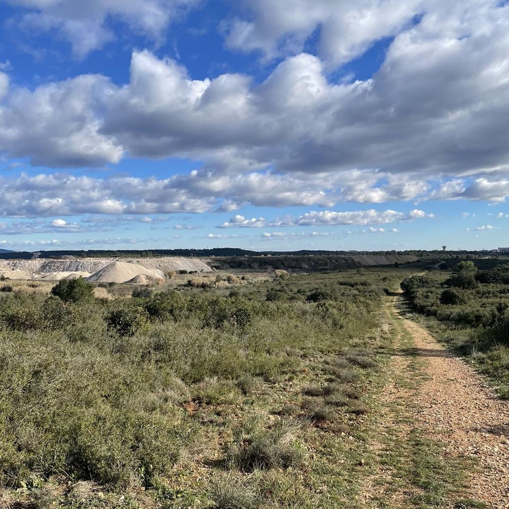
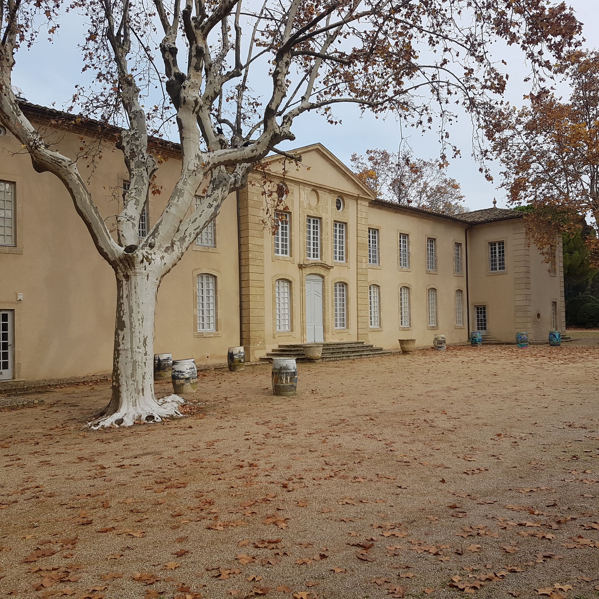
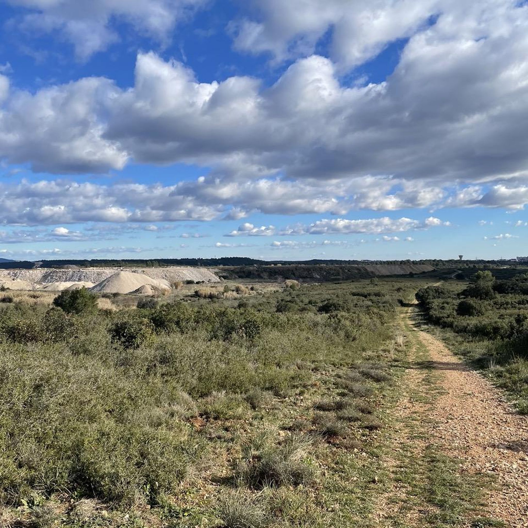
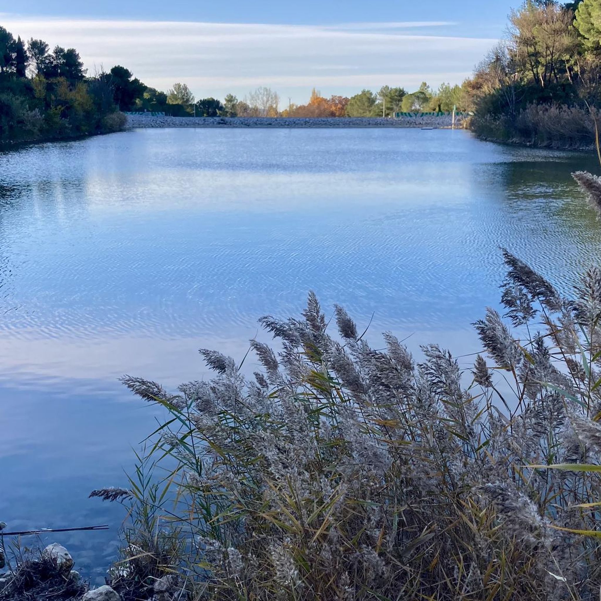
Tips from the Community

This is an old path I took twenty years ago. I rediscovered it. It's difficult. We have a very beautiful view of the Guillery cross. My path is marked with biodegradable yellow string.
0
0
A hike accessible to all. There are no redeillons. We are like on a belvedere: we see the Mediterranean and in good weather we can make out the snow-covered Canigou. Then we can finish at the baker who makes superb Parisian brioches!
0
0

Source de l'Avy where the river appears from underground under a large rock roof. Nice technical ground around to practice your bike skills (rocky slopes with small drops, steep uphill, etc. You can easily do practice loops of varying difficulty here.
0
0
use the dirt trails to the south east to go up (about 10 meters of carrying to reach the cross, then go down the rocky trail nice view of Grabels and surroundings
0
0

A lovely panoramic view of Grabels and the surrounding mountains.
0
0
The park around the spring is very pleasant and particularly magnificent in autumn.
0
0

Very beautiful place indeed. Note that if you are on a bike, access is on each side by a staircase of a few steps, no problem with a classic bike but certainly more complicated with an EAB.
0
0
After 3 hours of walking from Juvignac and through the sunny scrubland, the descent to Grabels is rewarded by this pretty and refreshing meeting point with the Mosson: the source of the Avy. You can also get there by starting from the Thermes spring in Juvignac and meandering with the Mosson for almost 5 km. Beautiful course;
0
0
Frequently Asked Questions
Are there easy hiking trails around Juvignac?
Yes, Juvignac offers a good selection of easy hiking trails. Out of over 400 routes in the area, more than 220 are classified as easy, making them suitable for casual strolls or beginners. An example is the La Mosson Waterfall – Avy Spring loop from Grabels, which is 3.5 miles (5.6 km) long and features natural water features.
Can I find circular hiking routes in Juvignac?
Many of the hiking routes around Juvignac are circular, allowing you to start and end at the same point without retracing your steps. For instance, the Parc du Château des Évêques – Abbaye de Vignogoul loop from Saint-Jean-de-Védas is a moderate 7.8-mile (12.6 km) loop exploring parklands and historical sites.
What natural attractions can I explore while hiking near Juvignac?
The region around Juvignac is rich in natural attractions. You can discover various water features like the Avy Spring and the Lez Resurgence. There are also beautiful lakes such as Jacques Coeur Basin and Lac des Garigues, perfect for enjoying the serene landscape.
Are there historical sites to visit on hikes around Juvignac?
Yes, several hiking routes in Juvignac pass by or through historical sites. For example, the Parc du Château des Évêques – Abbaye de Vignogoul loop from Saint-Georges-d'Orques takes you through parklands and near the historic Abbaye de Vignogoul, offering a blend of nature and culture.
What is the best time of year to go hiking in Juvignac?
Given Juvignac's Mediterranean climate, the best times for hiking are typically spring (April to June) and autumn (September to November). During these seasons, the weather is pleasantly mild, and the landscapes are vibrant. Summers can be quite hot, making early mornings or late afternoons preferable for hiking, while winters are generally mild but can be damp.
Are dogs allowed on the hiking trails in Juvignac?
Generally, dogs are welcome on most hiking trails around Juvignac, especially in natural areas and on public paths. It's always recommended to keep your dog on a leash, particularly in nature reserves or near livestock, and to carry waste bags to maintain the cleanliness of the trails.
How long do hikes around Juvignac typically take?
Hiking durations in Juvignac vary widely depending on the route's length and your pace. Shorter, easy trails like the La Mosson Waterfall – Avy Spring loop can be completed in about 1 hour 30 minutes. Longer, moderate routes, such as the Bridge over the Mosson – Bridge and Natural Landscapes loop from Stade de la Mosson, might take around 2 hours 45 minutes.
What do other hikers say about the trails in Juvignac?
The hiking trails in Juvignac are highly regarded by the komoot community, with an average rating of 4.4 stars from over 800 reviews. Hikers often praise the diverse landscapes, including river valleys and natural parks, and appreciate the variety of options available for different skill levels.
Are there family-friendly hiking options near Juvignac?
Yes, Juvignac offers several family-friendly hiking options. Many of the easy routes are suitable for families with children, featuring gentle terrain and interesting natural sights. Look for shorter, well-maintained paths that offer engaging points of interest like springs or open parklands.
Where can I find parking for hiking trails in Juvignac?
Parking for hiking trails in Juvignac is typically available near trailheads, in nearby villages, or at designated parking areas for natural parks. Many routes start from accessible points with established parking facilities, making it convenient to begin your hike.
Are there any challenging hikes for experienced hikers in Juvignac?
While Juvignac is known for its generally gentle terrain, there are some more challenging options for experienced hikers. Approximately 15 of the over 400 routes are classified as difficult. An example is the Bridge and Natural Landscapes – Bridge over the Mosson loop from Stade de la Mosson, which is a longer route with more significant elevation changes.
Can I find places to eat or drink along the hiking routes?
While many trails in Juvignac traverse natural areas, some routes may pass through or near small villages where you can find local eateries or cafes. It's always a good idea to check the map for nearby towns or pack sufficient snacks and water, especially for longer hikes.
Most popular attractions around Juvignac

Get inspired with the komoot mobile app


Explore more
Browse the best Hikes in other regions.
