The best running trails around Vienne
4.3
(390)
8,539
runners
1,021
runs
Jogging around Vienne offers diverse landscapes, from meandering river paths to dense forest loops and trails with significant elevation changes. The region is characterized by varied terrain, including plateaus, valleys, and some impressive cliffs, providing scenic routes for all fitness levels. These natural features and well-maintained trails make Vienne a suitable destination for outdoor activities.
Best jogging routes around Vienne
- The most popular jogging route is La Côte de Serrières — loop, a 6.2 miles (9.9 km) trail that…
Last updated: June 25, 2026
5.0
(2)
31
runners
9.94km
01:08
230m
230m
Moderate run. Good fitness required. Mostly paved surfaces. Suitable for all skill levels.
4.2
(6)
193
runners
13.4km
01:23
40m
40m
Moderate run. Good fitness required. Mostly paved surfaces. Suitable for all skill levels.

Sign up for free
5.0
(3)
136
runners
Hard run. Very good fitness required. Sure-footedness, sturdy shoes and alpine experience required.
4.5
(2)
113
runners
27.7km
03:30
770m
770m
Hard run. Very good fitness required. Mostly accessible paths. Some sure footedness required.
122
runners
10.5km
01:08
60m
60m
Moderate run. Good fitness required. Mostly paved surfaces. Suitable for all skill levels.
5.0
(1)
81
runners
10.2km
01:13
190m
190m
Moderate run. Good fitness required. Mostly paved surfaces. Suitable for all skill levels.
5.0
(1)
36
runners
23.2km
02:43
440m
450m
Hard run. Very good fitness required. Mostly paved surfaces. Suitable for all skill levels.
5.0
(3)
78
runners
8.60km
00:55
20m
20m
Moderate run. Good fitness required. Mostly paved surfaces. Suitable for all skill levels.
76
runners
Moderate run. Good fitness required. Mostly paved surfaces. Suitable for all skill levels.
3.7
(3)
176
runners
10.9km
01:08
20m
20m
Moderate run. Good fitness required. Mostly paved surfaces. Suitable for all skill levels.
Get access to more routes and recommendations from other explorers.
Sign up for free
Already have an account?
Our route recommendations are based on thousands of hikes, rides, and runs completed by other people on komoot.
Start today with a free account
Your next adventure awaits.
Login or Signup
Popular around Vienne
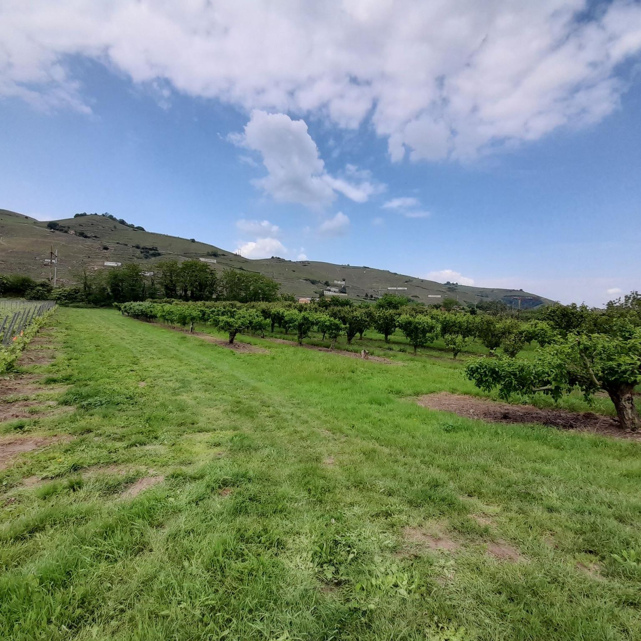
Running Trails around Reventin-Vaugris
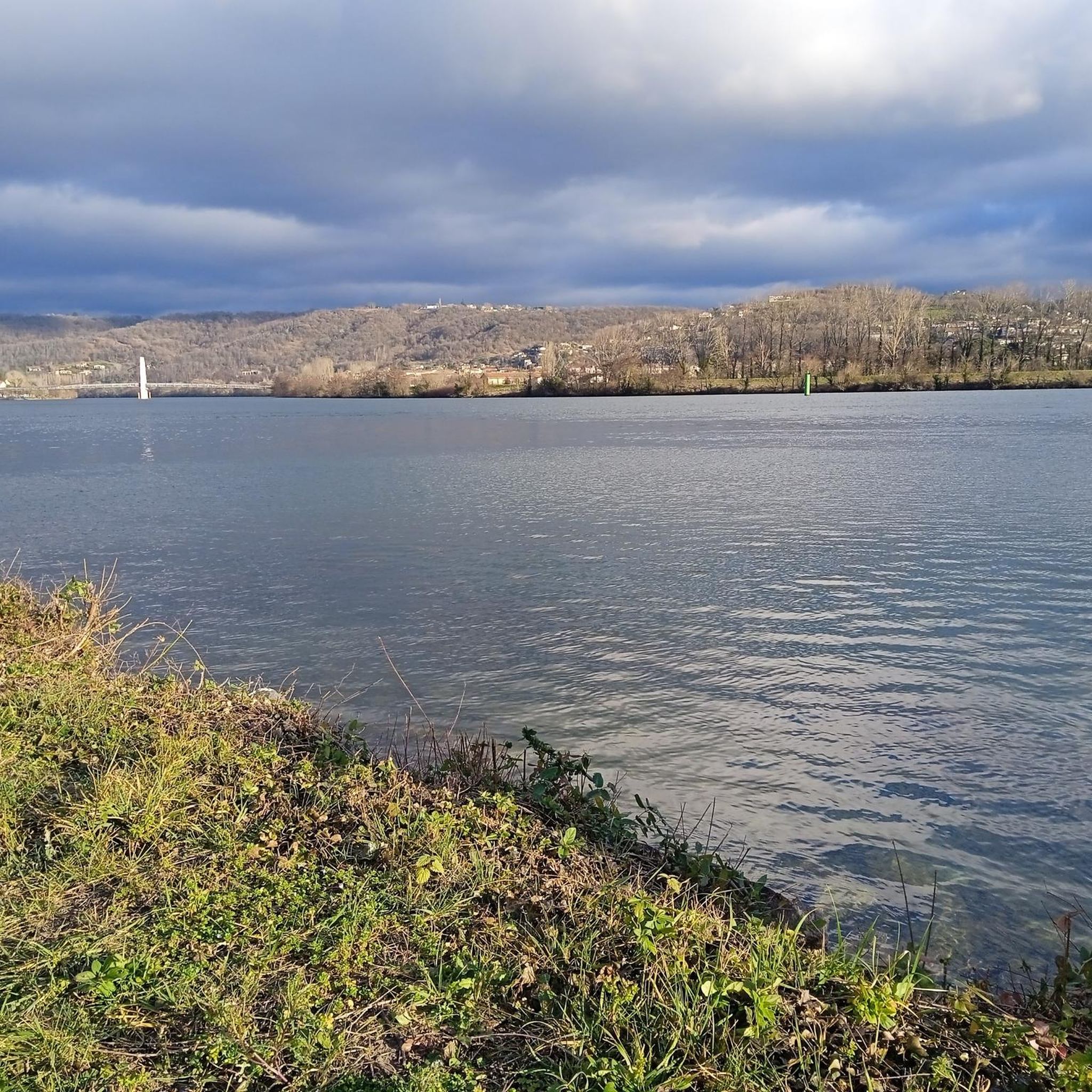
Running Trails around Les Roches-De-Condrieu
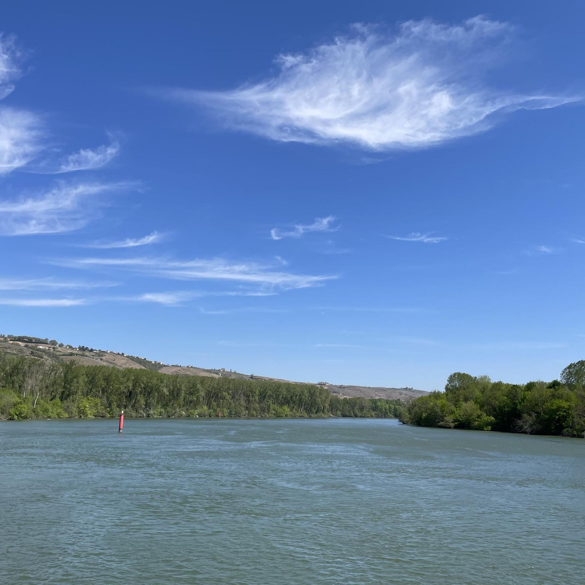
Running Trails around Saint-Prim
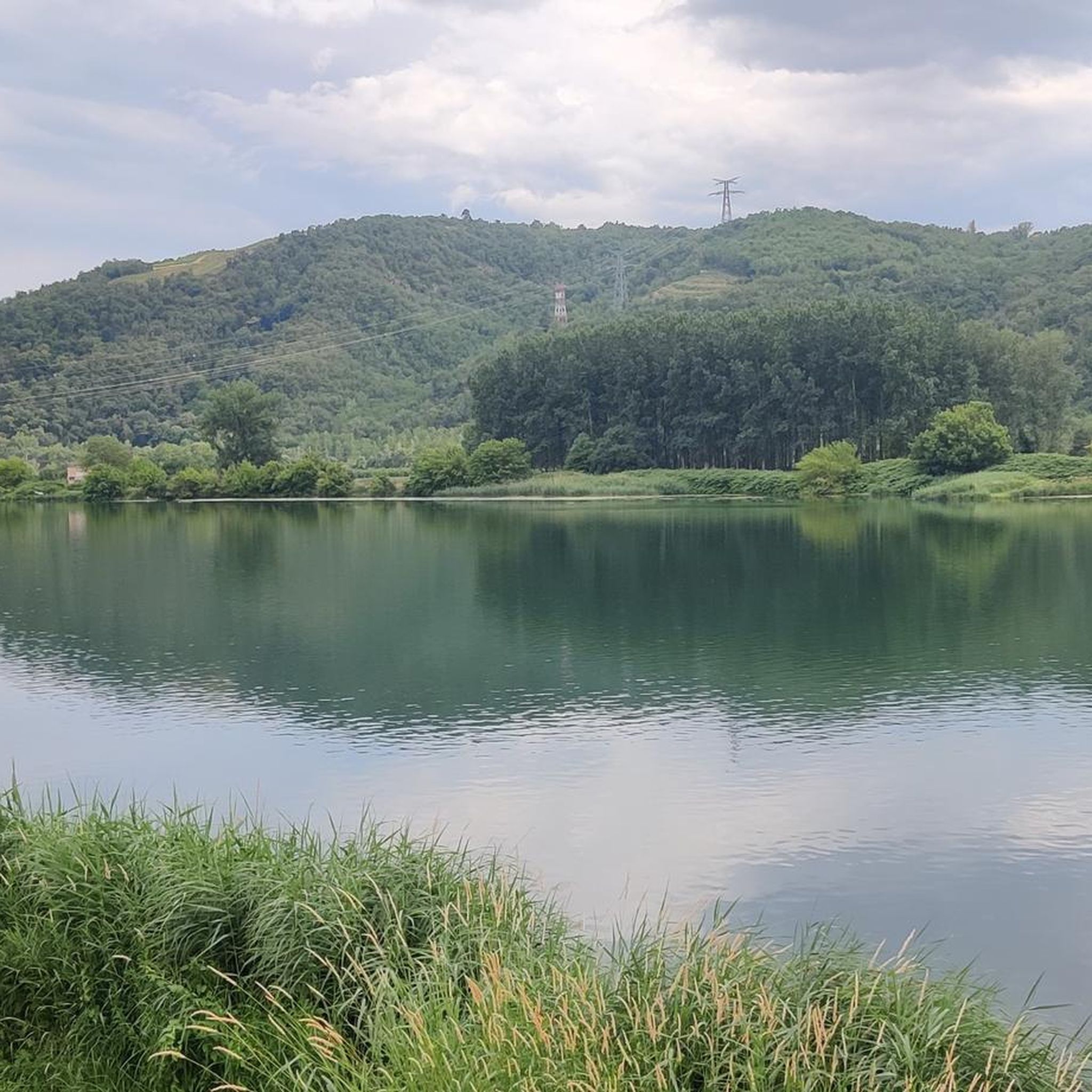
Running Trails around Sablons
Running Trails around Chuzelles
Running Trails around Saint-Clair-Du-Rhône
Running Trails around Serpaize

Running Trails around Pont-De-Chéruy

Running Trails around Saint-Just-Chaleyssin

Running Trails around Charvieu-Chavagneux


Tips from the Community

Superb landscapes of the Pilat in the Rhône region. With its 782 meters, Mont Monnet dominates the Rhône valley. A hike allows you to climb it and access a orientation table at the summit.
0
0

beautiful bridge with great views
0
0

A truly beautiful stretch of the route! The stunning scenery and excellent cycle paths make cycling on the ViaRhôna a very special experience! :-)
0
0
A wonderful stretch of route! The stunning scenery and excellent cycle paths make the Via Rhôna cycle tour a truly memorable experience!
0
0
A small, somewhat sleepy town - definitely worth a short visit!
0
0


The Condrieu suspension bridge spans the Rhône between the towns of Condrieu in the Rhône department and Les Roches-de-Condrieu in the Isère department. The suspension bridge consists of two spans separated by a central concrete pylon forming an arch, in which the metal suspension cables are anchored. The entrance to the bridge is marked by two concrete pylons that receive the cables on the banks. These are connected to the deck by hangers. The deck, with its metal frame and reinforced concrete cover slab, carries a two-lane, two-way roadway, bordered by sidewalks lined with guardrails. The current Condrieu bridge is the second bridge to be built at this location; it replaces an earlier structure constructed in 1832 and declared to be in very poor condition in 1929. The 1934 work was barely completed when the bridge was closed in June 1940 due to an act of war. A cable ferry was put back into service to restore the river crossing. In spring 2025, due to structural weaknesses, the bridge was closed to traffic for several months while new cables were installed and reinforcement work was carried out.
1
0

View from the bridge between Roches de Condrieu and Condrieu.
0
0
Frequently Asked Questions
How many running routes are available in Vienne?
Vienne offers a vast network of over 1000 running routes. These include a diverse range of difficulties, with approximately 65 easy routes, 778 moderate trails, and 159 more challenging options, ensuring there's something for every runner.
What kind of terrain can I expect on jogging trails in Vienne?
The running trails in Vienne are incredibly diverse, ranging from meandering riverside paths along the Vienne and Rhône rivers to dense forest loops like those found in the Forêt de la Guerche. You'll also encounter varied terrain with significant elevation changes, traversing valleys, plateaus, and even impressive features like the Beauvoir Cliffs. Many routes combine paved sections with white paths, offering a mix of surfaces.
Are there any family-friendly running routes in Vienne?
Yes, Vienne has several routes suitable for families. The department's diverse landscape includes gentle paths, such as those around Lac de St Cyr, which offer a moderate 5.0 km run through varied natural scenery. Look for routes described as 'easy' or with minimal elevation gain for the most family-friendly options.
Can I find circular running routes in Vienne?
Absolutely. Many of Vienne's running routes are designed as loops, allowing you to start and finish in the same location. For example, the La Côte de Serrières — loop is a popular 9.9 km circular trail. Other notable loops include the 9.6 km route around Château de Morthemer and the 7.6 km loop in the Forêt de la Guerche.
What are some scenic running routes with viewpoints in Vienne?
Vienne offers many scenic routes. The View of the Rhône – Vienne Suspension Bridge loop from Vienne provides beautiful vistas along the Rhône river. Other routes, particularly those on plateaus or near the Beauvoir Cliffs, offer tranquil starts with expansive views before descending into valleys. The Forêt de la Guerche loop also features a dedicated viewpoint.
Are there any running trails in Vienne that pass by historical landmarks or points of interest?
Yes, several routes offer glimpses of historical and natural landmarks. You can find trails that pass by impressive castles, such as the Château de Seyssuel loop from Seyssuel or the route around Château de Morthemer. Additionally, some routes might lead you past serene lakes like Étang du Marais or Étang du Grand Bois, providing picturesque backdrops for your run.
What do other runners enjoy most about jogging in Vienne?
The running community highly rates Vienne, with an average score of 4.4 stars from over 300 reviews. Runners frequently praise the diverse landscapes, from tranquil riverside paths to challenging forest trails, and the well-maintained nature of the routes. The variety of terrain and the scenic beauty are often highlighted as key attractions.
Are there challenging running trails for experienced runners in Vienne?
Certainly. For experienced runners seeking a challenge, Vienne offers difficult routes with significant elevation gains. The Grenouze Pass – Virgin of Mount Monnet loop from Saint-Clair - Les Roches is a demanding 29.9 km trail with substantial climbing. The region also features 'trail' nature routes like "Le circuit des falaises et des vallées" in the Anglin Valley, perfect for technical trail running.
Are there any long-distance running options in Vienne?
Yes, Vienne caters to long-distance runners with several extended routes. The Grenouze Pass – Virgin of Mount Monnet loop is nearly 30 km, and the Lovers' Bridge – Temple of Augustus and Livia loop from Vienne is another difficult option spanning over 28 km. There are also longer options like the Saint-Savin and Greenway of the Valleys Loop, which is over 20 km.
Are there running routes in Vienne that are accessible by public transport or have nearby parking?
Many running routes in Vienne are designed to be accessible. While specific public transport details vary by route, many trails start near towns or villages, increasing the likelihood of public transport connections. For drivers, routes often have designated parking areas nearby. For example, routes starting directly from Vienne, like the View of the Rhône – Vienne Suspension Bridge loop, are typically well-served for parking.
Can I find running routes that are under an hour to complete in Vienne?
Yes, Vienne has numerous shorter routes perfect for a quick run. While specific routes under an hour are not explicitly detailed here, with over 65 easy routes and many moderate ones, you can find trails ranging from 5 km to 8 km that can typically be completed within an hour, depending on your pace. Look for routes with lower distances and minimal elevation gain.
Are there any running routes along the Vienne River?
Yes, the Vienne River itself meanders through the department, offering accessible paths. While specific routes are mentioned for Limoges, the wider Vienne region features similar paved and gravel paths along the riverbanks, providing scenic views of the water and historical areas. These riverside paths are generally flat and ideal for a relaxed run.
Most popular routes around Vienne
Most popular attractions around Vienne

Get inspired with the komoot mobile app


Didn’t find what you were looking for?
Check out more Running Trails & Routes throughout Vienne below and find the perfect route in your destination.
Explore more
Browse the best Running Trails & Routes in other regions.
