The best road cycling routes around Börnichen
4.6
(354)
3,384
riders
214
rides
Road cycling around Börnichen, situated in Saxony's Ore Mountains (Erzgebirge), features undulating and hilly terrain. The region is characterized by varied elevation profiles, dense forests, and picturesque valleys, providing a diverse environment for road cyclists. Routes often include significant ascents and descents, with many sections offering mostly well-paved surfaces.
Best road cycling routes around Börnichen
- The most popular road cycling route is Scharfenstein Castle – Checkpoint Niederlauterstein loop from Waldkirchen(Erzgeb.), a 42.5 miles (68.4 km) trail that takes 3…
Last updated: July 11, 2026
4.5
(2)
30
riders
68.5km
03:27
1,050m
1,050m
Hard road ride. Very good fitness required. Mostly well-paved surfaces and easy to ride.
5.0
(2)
16
riders
107km
05:09
1,480m
1,480m
Hard road ride. Very good fitness required. Mostly well-paved surfaces and easy to ride.

Sign up for free
19
riders
42.5km
02:14
730m
730m
Moderate road ride. Good fitness required. Mostly well-paved surfaces and easy to ride.
12
riders
80.8km
03:57
1,110m
1,110m
Hard road ride. Very good fitness required. Mostly well-paved surfaces and easy to ride.
4.0
(2)
12
riders
47.6km
02:36
880m
880m
Moderate road ride. Good fitness required. Some segments of this route may be unpaved and difficult to ride.
Get access to more routes and recommendations from other explorers.
Sign up for free
Already have an account?
Our route recommendations are based on thousands of hikes, rides, and runs completed by other people on komoot.
Start today with a free account
Your next adventure awaits.
Login or Signup
Tips from the Community


Beautiful bridge near the confluence of the Flöha and Zschopau rivers
1
1

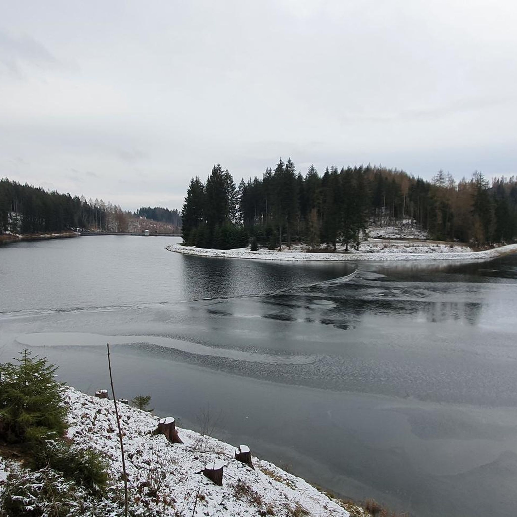
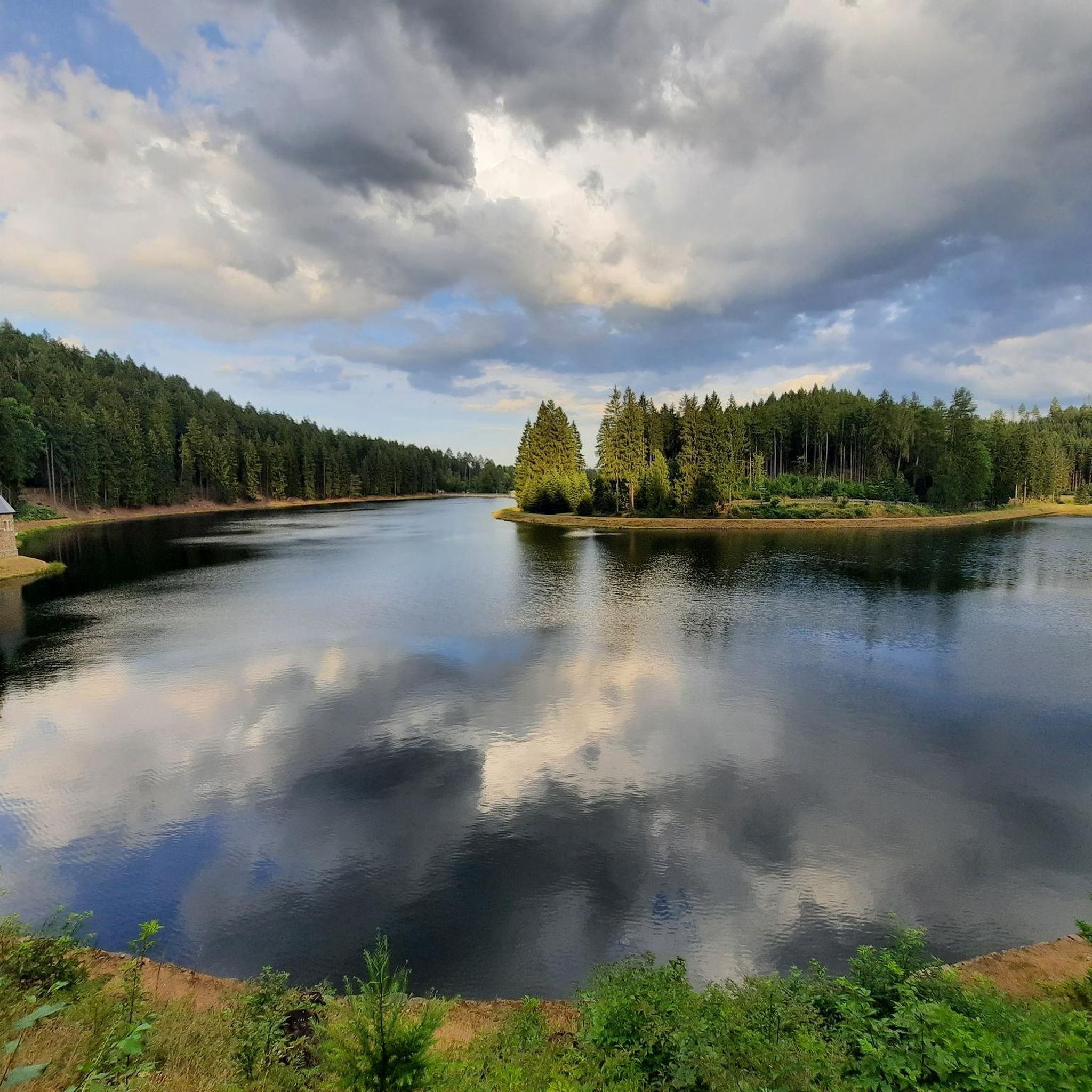
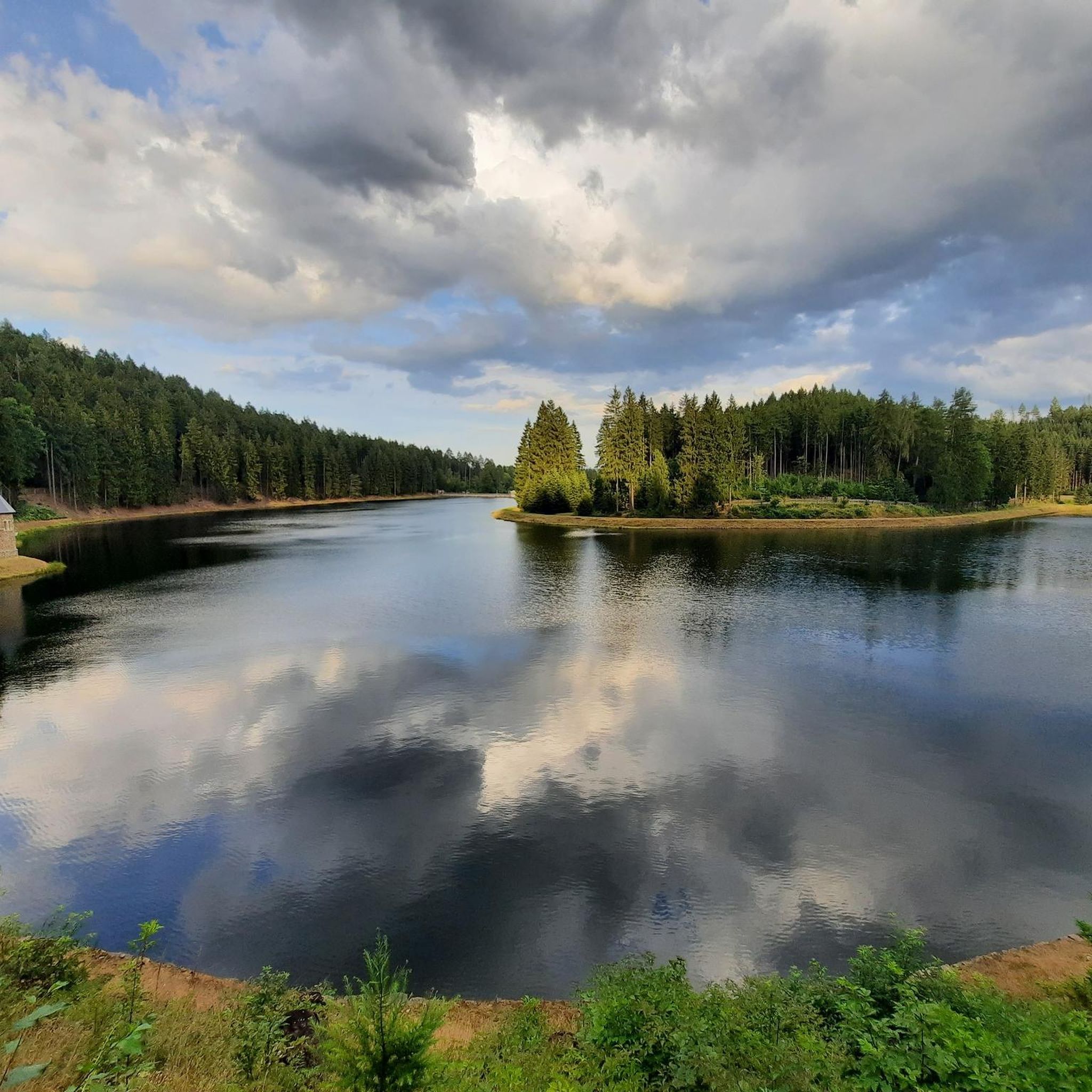
A dream on a road bike in late summer: warm air, clear visibility, and the expansive view over the dam. One of my favorite sections of the Stoneman Miriquidi Road!
2
0

Low-traffic road bike tour in the Ore Mountains
0
0

Simply brilliant for rolling. I prefer this route to coming from Cämmerswalde/Schwartenberg (the surface is poor on the descent).
1
0
A brilliant connection that invites you to rush through quickly, from the reservoir to the driveway to Seiffen.
0
0
Good connection, although not the best surface. Currently under construction in Pockau, making it impossible to drive quickly due to partially torn-up road surfaces (April 2025).
0
0

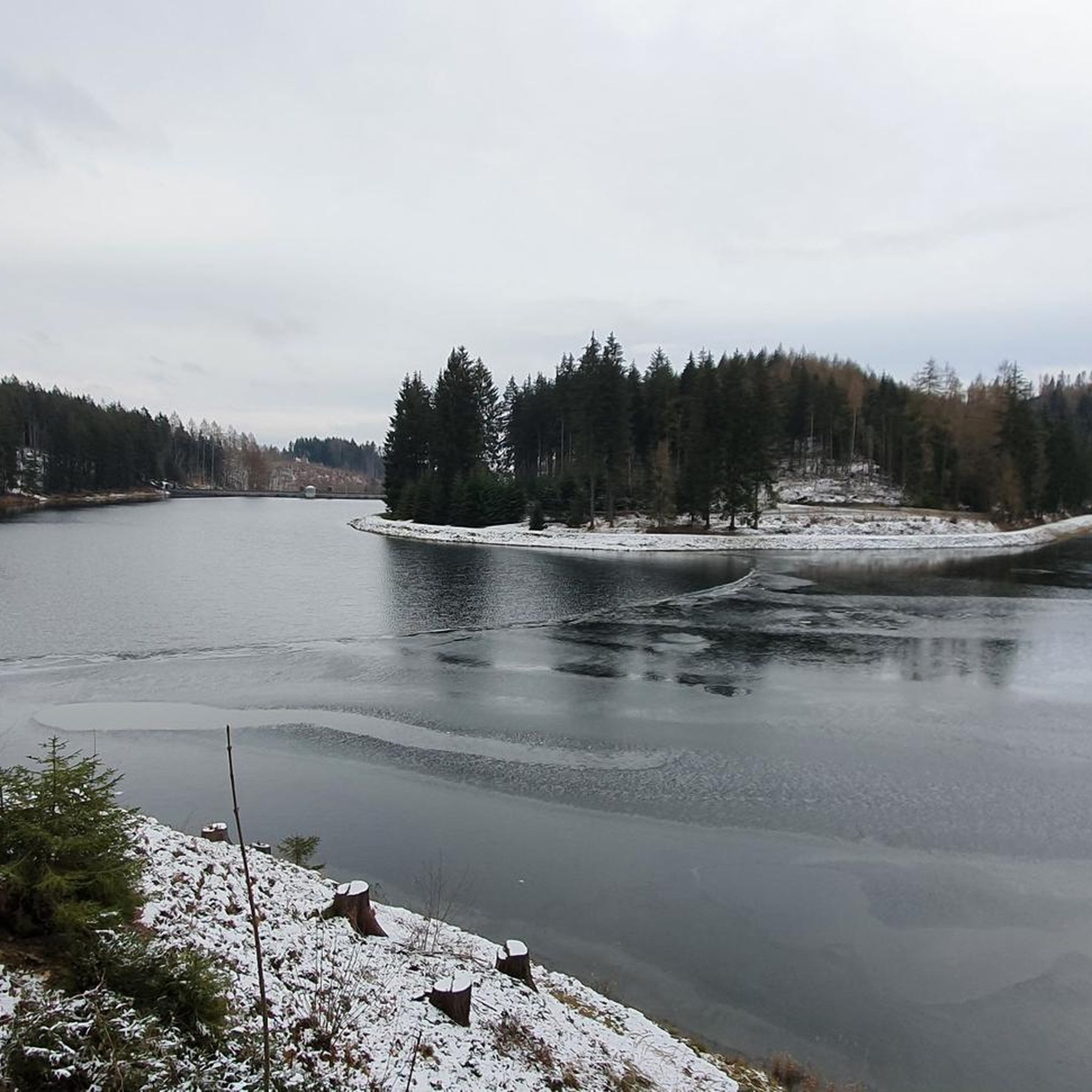
Worth seeing at any time of year and at any water level.
0
1
Frequently Asked Questions
How many road cycling routes are available around Börnichen?
There are over 200 road cycling routes available around Börnichen, offering a wide range of options for different skill levels. The komoot community has rated these routes highly, with an average score of 4.7 stars.
What is the typical terrain like for road cycling in Börnichen?
Road cycling around Börnichen, nestled in the Ore Mountains, is characterized by undulating and hilly terrain. You can expect varied elevation profiles with significant ascents and descents, making it a rewarding area for cyclists who enjoy a challenge. Most routes feature well-paved surfaces, ensuring a smooth ride.
Are there road cycling routes suitable for beginners or families in Börnichen?
Yes, while the region is known for its challenging terrain, there are options for various ability levels. Out of over 200 routes, 21 are classified as easy, and 126 as moderate, providing suitable choices for beginners or families looking for less demanding rides. These routes often lead through picturesque valleys and dense forests.
Can I find challenging road bike climbs in the Börnichen area?
Absolutely. The Ore Mountains provide a natural playground for cyclists seeking demanding climbs. Routes like the Großer Teich Großhartmannsdorf – Neunzehnhain I Dam loop from Waldkirchen (Erzgeb) feature over 4,800 feet (1,460 meters) of elevation gain over 66.4 miles (106.8 km). Another challenging option is the Scharfenstein Castle – Checkpoint Niederlauterstein loop from Waldkirchen(Erzgeb.), with over 3,400 feet (1,050 meters) of ascent.
What kind of scenic viewpoints can I expect along the road cycling routes?
The high points in the Ore Mountains offer breathtaking panoramic views. Notable viewpoints in the vicinity include the Katzenstein Lookout and the Dreibrüderhöhe Observation Tower. These spots provide excellent opportunities to pause and enjoy the expansive landscapes of the region.
Are there any interesting historical sites or natural features to see while cycling?
Yes, the wider Erzgebirge region is rich in history and natural beauty. While cycling, you might encounter historic towns and castles, such as Schloss Wolkenstein. The area also features unique natural formations like the Upper Schwedenlöcher Limestone Caves and historical mining sites like the Heilige Dreifaltigkeit Visitor Mine, offering glimpses into the region's past.
Are there circular road cycling routes available around Börnichen?
Many of the road cycling routes around Börnichen are designed as loops, allowing you to start and end your ride in the same location. Examples include the Krumhermersdorf Aqueduct – Golden Rooster Inn loop from Krumhermersdorf, which is a moderate 26.4-mile (42.4 km) ride, and the more challenging Ringethaler Berg Climb (15%) – View of Augustusburg loop from Waldkirchen(Erzgeb.).
What is the best time of year for road cycling in Börnichen?
The Ore Mountains are generally best for road cycling from spring through autumn. During these seasons, the weather is more favorable, and the dense forests and valleys are particularly scenic. Winter can bring snow and ice, making road cycling more challenging or impossible on many routes.
Where can I find parking for my car and bike when starting a route in Börnichen?
While specific parking areas for cyclists in Börnichen are not detailed, villages and towns in the Ore Mountains typically offer public parking facilities. It's advisable to check local signage upon arrival or use navigation apps to locate suitable parking near your chosen starting point.
Is it possible to access road cycling routes in Börnichen using public transport with my bike?
The Ore Mountains region has a strong overall cycling culture, and public transport options often accommodate bikes. For detailed information on bike transport on public buses or trains in the Erzgebirge, it's best to consult local transport providers or the official Saxony tourism website: visitsaxony.com.
Are there cafes or restaurants along the road cycling routes in Börnichen?
The region, including Börnichen and surrounding villages, offers various opportunities for refreshments. While specific cafes on routes are not listed, you can often find traditional inns and eateries in the towns and villages you pass through. For example, the Traditional Inn Adelsbergturm is a notable hut in the area.
What do other road cyclists enjoy most about road cycling in Börnichen?
The area is highly rated by the komoot community, with an average score of 4.7 stars from over 300 reviews. Cyclists often praise the diverse terrain, from challenging climbs to scenic descents, and the beautiful natural surroundings of dense forests and picturesque valleys. The well-maintained roads and varied elevation profiles contribute to a rewarding experience.
Most popular attractions around Börnichen

Get inspired with the komoot mobile app


Explore more
Browse the best Road cycling routes in other regions.
