The best road cycling routes around Sankt Didel
4.3
(1331)
31,856
riders
464
rides
Road cycling routes around Sankt Didel are situated within the Vosges mountains, offering a diverse landscape for cyclists. The region features numerous mountain passes, extensive forests, and several lakes, providing varied terrain from challenging climbs to more moderate paths. Cyclists can expect well-paved surfaces on many routes, with some unpaved segments for a more rugged experience. The area is characterized by significant elevation changes, making it suitable for different fitness levels.
Best road cycling routes around Sankt Didel
- The most popular road cycling route is Col des Feignes sous Vologne — loop from Lac de Gérardmer, a difficult 32.4 miles (52.1 km) trail that takes 2 hours 55 minutes to complete. This route features significant elevation gain through the Vosges mountains.
- Another top favourite among local road cyclists is Le Col de la Schlucht – loop from Lac de Longemer, a difficult 47.5 miles (76.5 km) path. It offers challenging climbs and panoramic views of the surrounding lakes and mountains.
- Local road cyclists also love the Les Arentès Loop, a 29.2 miles (47.0 km) trail leading through varied terrain with considerable climbing, often completed in about 2 hours 22 minutes.
- Road cycling around Sankt Didel is defined by the Vosges mountains, dense forests, and scenic lakes. The network offers options for various ability levels, from moderate rides to difficult climbs over mountain passes.
- The routes in Sankt Didel are highly rated by the komoot community with an average score of 4.3 stars from over 900 reviews. More than 27,000 road cyclists have used komoot to explore Sankt Didel's varied terrain.
Last updated: October 10, 2026
4.5
(42)
1,013
riders
52.1km
02:56
1,120m
1,110m
Hard road ride. Very good fitness required. Mostly well-paved surfaces and easy to ride.
4.7
(28)
847
riders
76.5km
04:24
1,720m
1,720m
Hard road ride. Very good fitness required. Mostly well-paved surfaces and easy to ride.

4.3
(52)
808
riders
47.0km
02:22
770m
770m
The Les Arentès Loop is a moderate 29.2-mile (47.0 km) road cycling route in the Vosges, featuring 2522 feet (769 metres) of climbing.
3.0
(2)
88
riders
77.8km
03:48
1,030m
1,030m
This challenging 48.3-mile road cycling loop in the Parc naturel régional des Ballons des Vosges offers scenic views and significant elevati
4.4
(38)
1,771
riders
68.7km
03:56
1,570m
1,570m
Hard road ride. Very good fitness required. Some segments of this route may be unpaved and difficult to ride.
4.6
(5)
71
riders
83.9km
04:27
1,260m
1,260m
Hard road ride. Very good fitness required. Mostly well-paved surfaces and easy to ride.
4.8
(4)
67
riders
52.0km
02:38
670m
670m
Cycle the moderate L'Ormont B7 Loop in Parc naturel régional des Ballons des Vosges, covering 32.3 miles with 2206 feet of gain.
4.5
(31)
1,563
riders
32.9km
01:49
680m
680m
Moderate road ride. Good fitness required. Mostly well-paved surfaces and easy to ride.
4.8
(4)
10
riders
104km
04:52
1,190m
1,190m
This difficult 64.9-mile road cycling loop from Saint-Dié-des-Vosges takes you through the scenic Vosges mountains to Lac de la Plaine.
4.5
(28)
865
riders
67.9km
03:30
1,140m
1,140m
Hard road ride. Very good fitness required. Mostly well-paved surfaces and easy to ride.
Get access to more routes and recommendations from other explorers.
Already have an account?
Our route recommendations are based on thousands of hikes, rides, and runs completed by other people on komoot.
Start today with a free account
Your next adventure awaits.
Popular around Sankt Didel
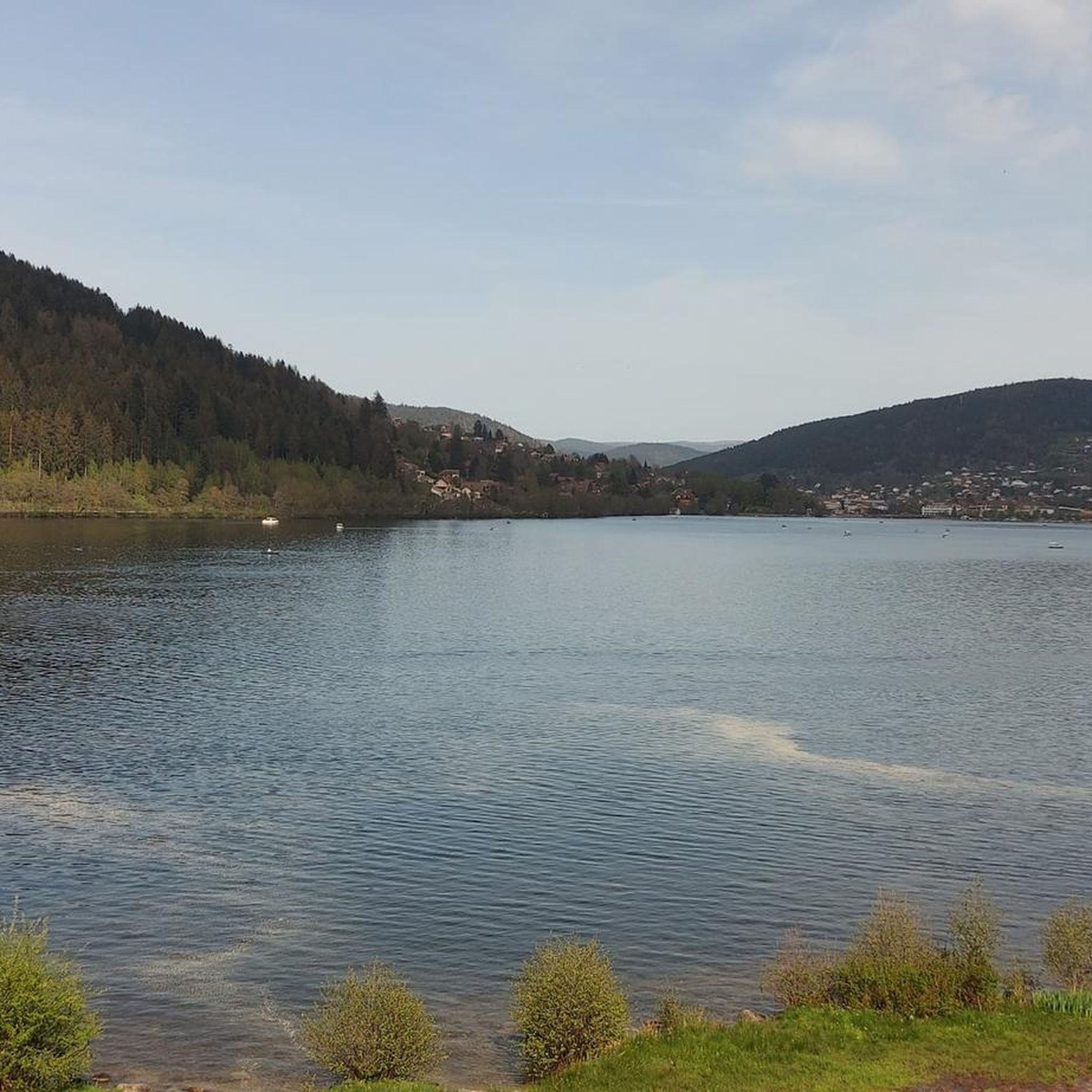
Road Cycling Routes around Gerdsee
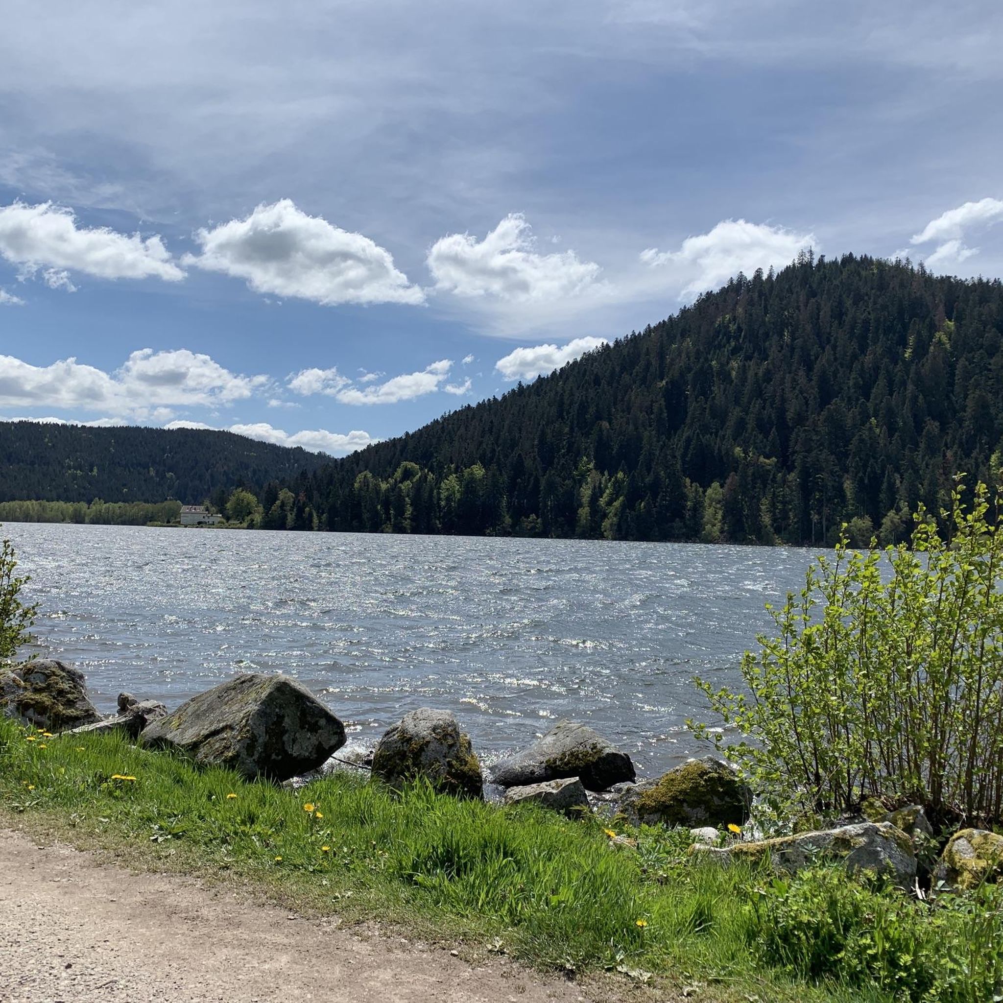
Road Cycling Routes around Lac De Gérardmer
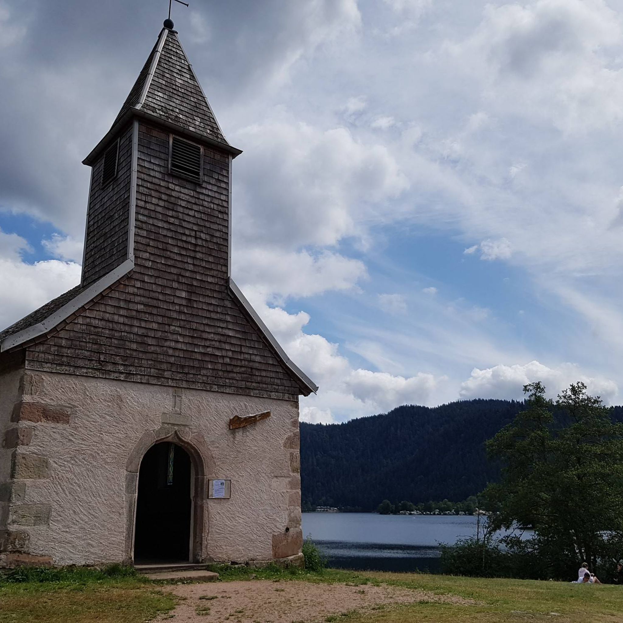
Road Cycling Routes around Xonrupt-Longemer
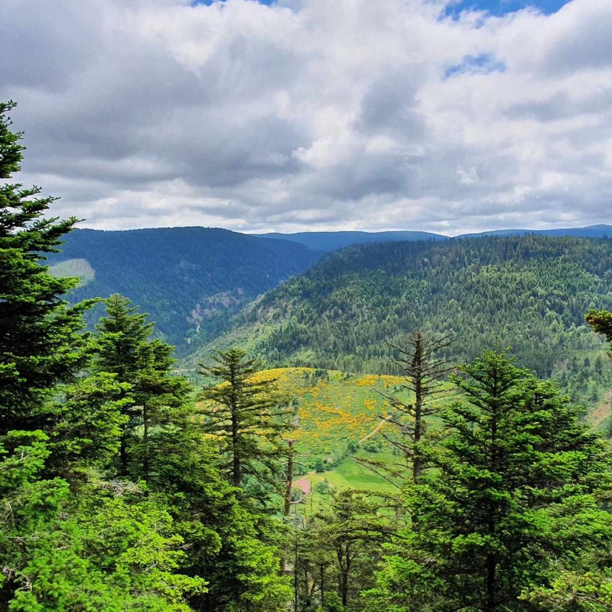
Road Cycling Routes around Ban-Sur-Meurthe-Clefcy
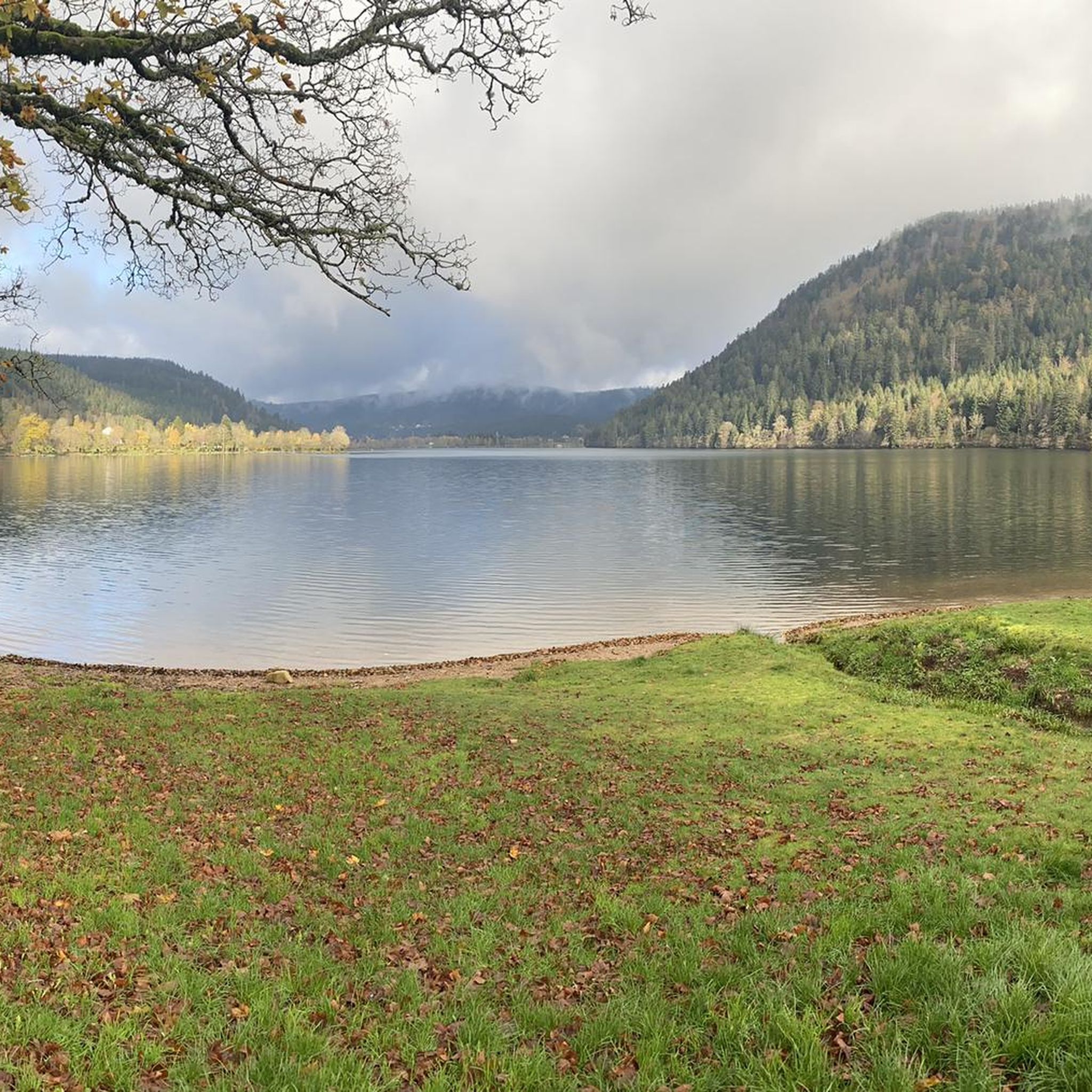
Road Cycling Routes around Lac De Longemer
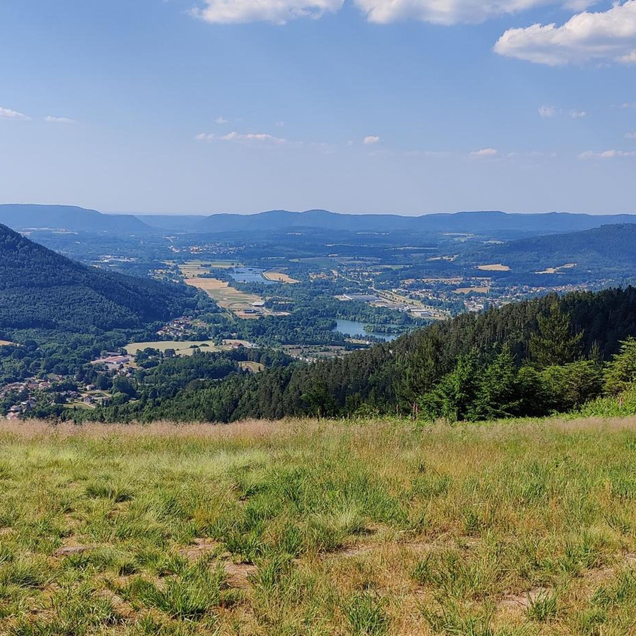
Road Cycling Routes in Forêt Communale De Saint-Dié-Des-Vosges
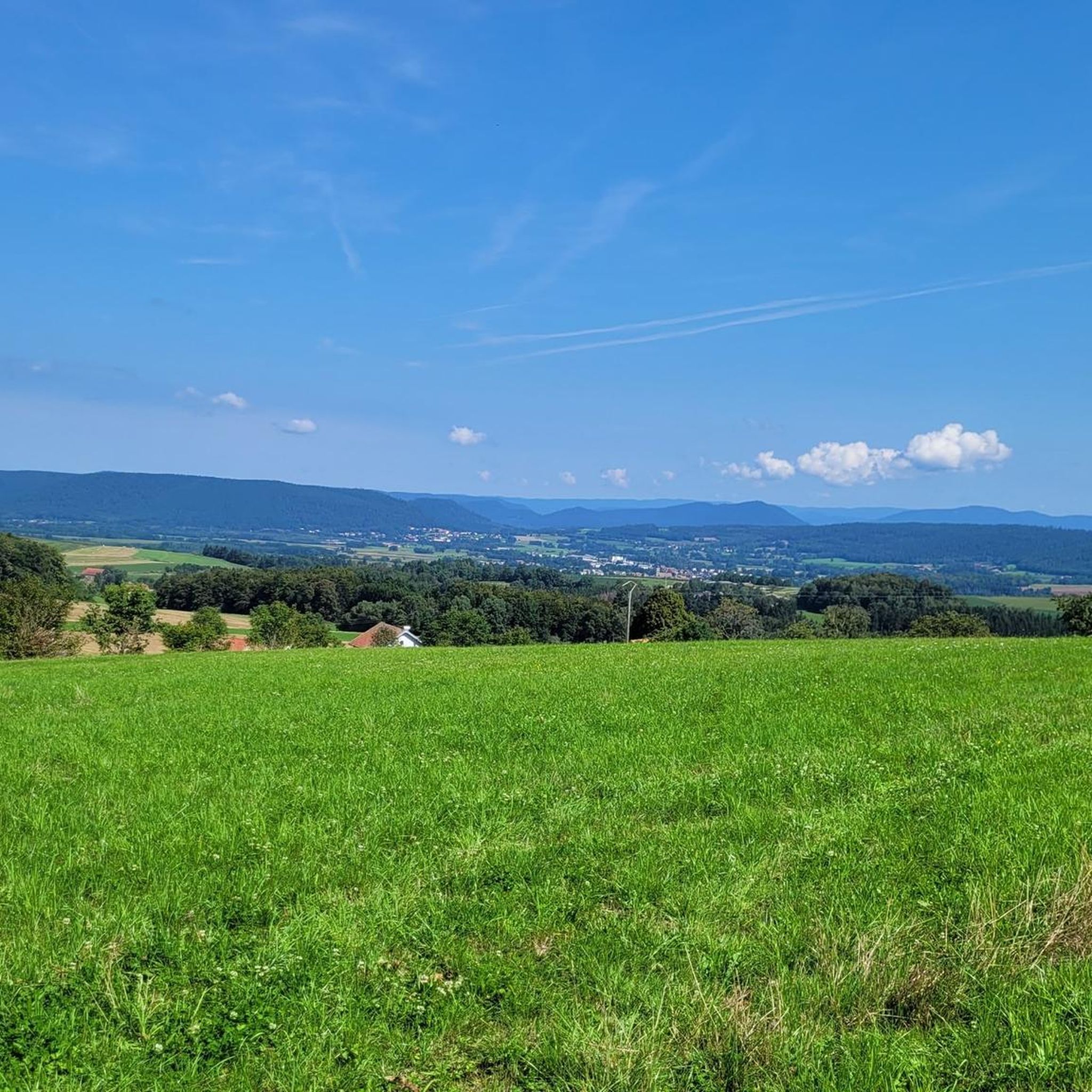
Road Cycling Routes around Arrentès-De-Corcieux
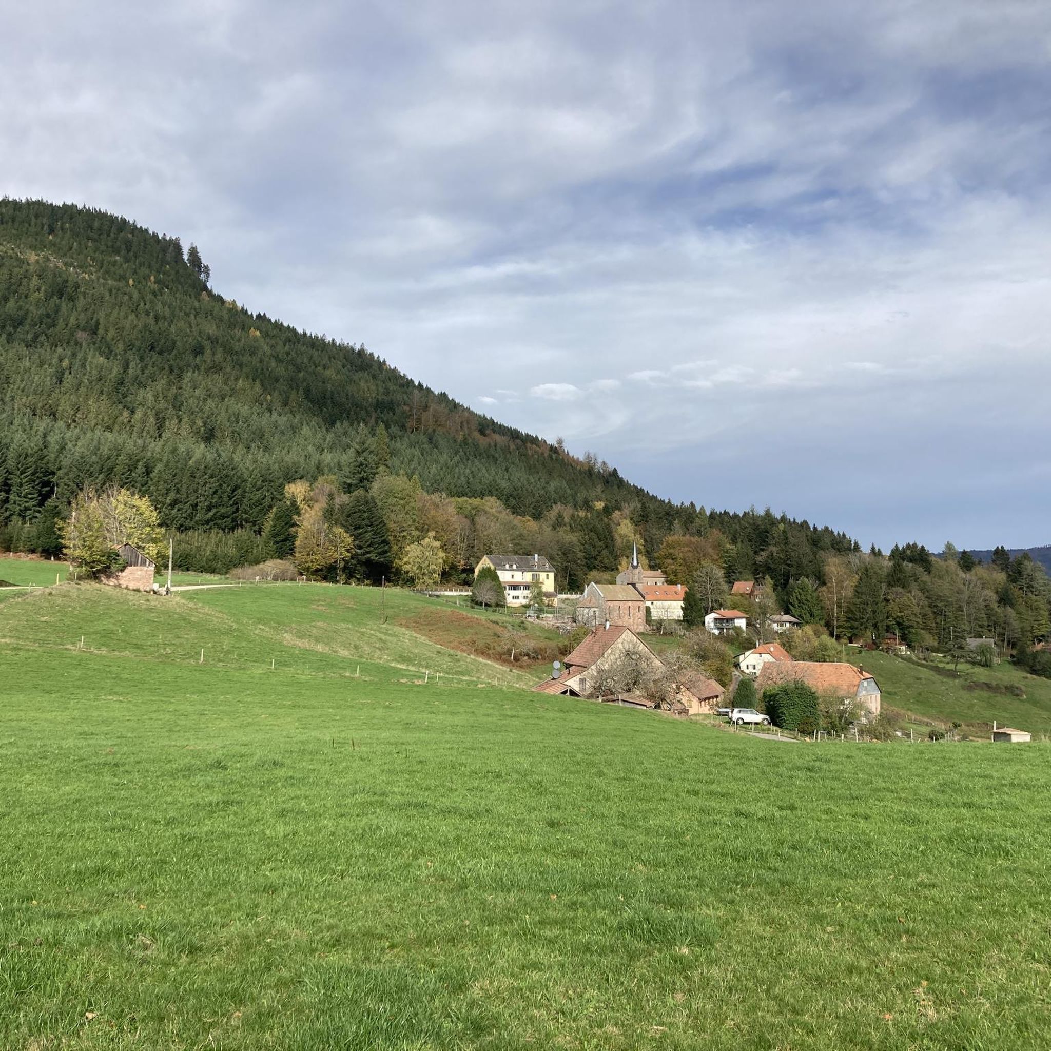
Road Cycling Routes around Saint-Jean-D'Ormont
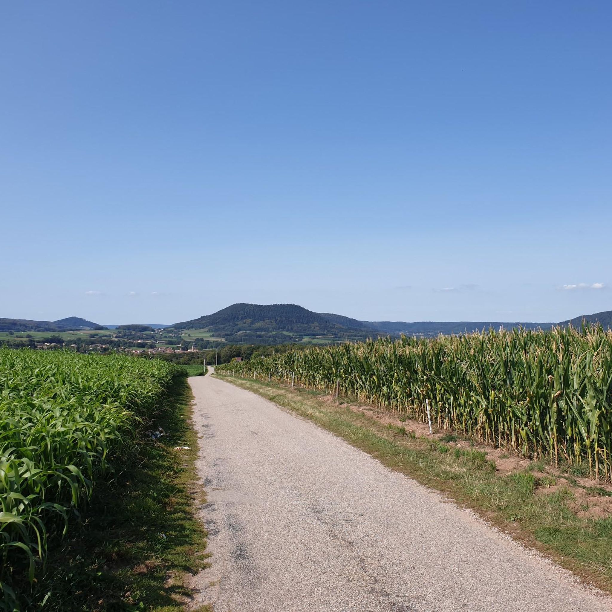
Road Cycling Routes around Taintrux
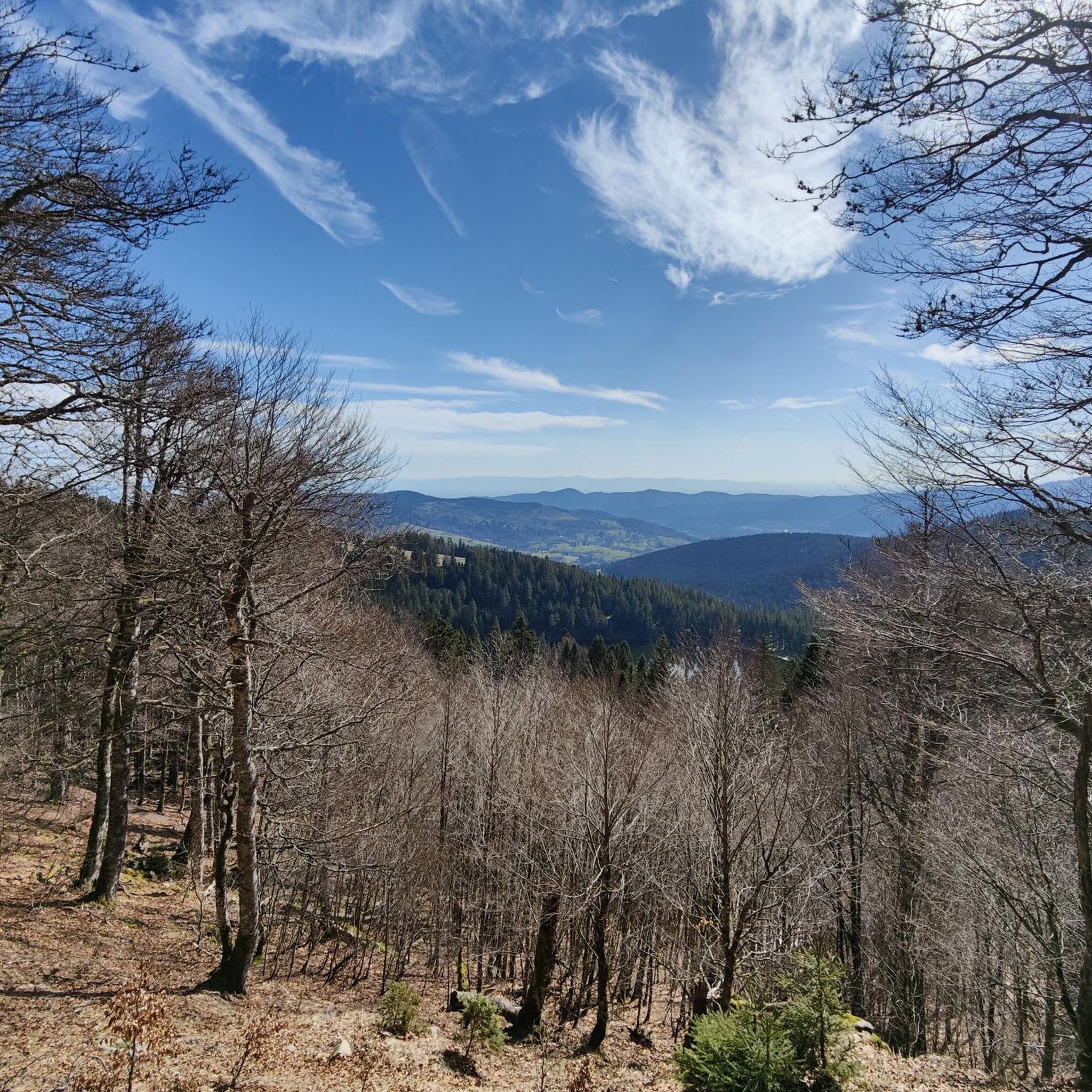
Road Cycling Routes around Réserve naturelle du Tanet-Gazon-du-Faing
Other adventures around Sankt Didel


Tips from the Community

There are no restaurants or cafes at the summit of the Col de Bramont itself. However, the pass serves as a strategic junction. From the summit, you can directly connect to the famous Route des Crêtes (the D431), which links the main mountain peaks of the Vosges. This allows you to easily cycle or hike to larger attractions nearby, such as the Col de la Schlucht, the Hohneck, or the Grand Ballon. The climb is enjoyable due to its 12 hairpin bends on the southern flank (Kruth).
5
0
The climb starts relatively calmly; the first 4.5 kilometers hardly show any significant incline, while the road runs slightly undulating along the Lac de Kruth-Wildenstein reservoir. Only after that does the real climbing work begin over a distance of about 3.5 to 4 kilometers. From that moment on, the road winds its way up via 12 characteristic hairpin bends. The gradient during this section is very constant and fluctuates almost continuously around 5 to 6%, making the climb ideal for finding a steady rhythm. The road is well-asphalted and leads entirely through a dense pine forest. This allows you to cycle delightfully in the shade, although due to the dense vegetation at the top and during the climb, there are few sweeping views of the valley. Once at the top (955m), you can descend directly to the north side towards La Bresse or join the well-known Route des Crêtes to extend the ride to, for example, the Col de la Schlucht or the Grand Ballon.
4
0
The Cascade du Bockloch is an atmospheric waterfall in Alsace (Haut-Rhin department), located on the wooded northeastern bank (right bank) of the Kruth-Wildenstein Lake. The waterfall is fed by the Hinterbockloch mountain stream, which originates on the slopes of the nearby Grand Ventron massif. Water plunges here via an abrupt, steep rock face about 12 meters down into a small, photogenic basin, just before it flows into the reservoir.
5
0
The Col d' Oderen is an 8.2 kilometer climb. This is a category 3 climb. It is located in Cornimont, Lorraine, France. The average gradient of this climb is 3.9% with a maximum of 6%. The Col d' Oderen rises from 573 meters at the start to 885 meters at the top, with a total of 312 meters of elevation gain.
5
0

Brilliant ascent to the pass relatively quiet with a pleasant gradient
4
0

Really nice to ride with a moderate incline. More info here: https://www.quaeldich.de/paesse/col-du-wettstein/
0
0

This is the starting point for many hikes.
3
1

Very pleasant ascent, steady with a quality surface, be careful, keep a second ramp under your pedal, it hides behind before reaching the lake of Gérardmer!
1
0
Frequently Asked Questions
How many road cycling routes are available around Sankt Didel?
Sankt Didel, nestled in the Vosges mountains, offers an extensive network of over 500 road cycling routes. This diverse selection caters to various preferences, from challenging mountain passes to more moderate paths through forests and along lakes.
What types of terrain can I expect on road cycling routes in Sankt Didel?
The region is characterized by the Vosges mountains, dense forests, and scenic lakes. You'll find routes with significant elevation changes, including challenging climbs over mountain passes like Col de la Schlucht and Col des Feignes. Many routes feature well-paved surfaces, though some may include unpaved segments for a more rugged experience.
Are there road cycling routes suitable for beginners or families in Sankt Didel?
Yes, Sankt Didel offers a good range of routes for all abilities. While many routes feature considerable climbing, there are 71 easy and 252 moderate routes available. These often traverse less steep terrain, making them suitable for those new to road cycling or families looking for a more relaxed ride. Look for routes around the lakes for gentler gradients.
What are some challenging road cycling routes for experienced riders?
Experienced riders will find plenty of challenges in Sankt Didel. Routes like Le Col de la Schlucht – loop from Lac de Longemer, covering 47.5 miles with significant elevation, or Col des Feignes sous Vologne — loop from Lac de Gérardmer, a 32.4-mile difficult trail, offer demanding climbs and panoramic views through the Vosges mountains.
What scenic viewpoints can I discover while road cycling in Sankt Didel?
The Vosges mountains provide numerous opportunities for breathtaking views. Routes often pass by stunning vistas such as the Taubenklangfelsen Viewpoint or offer expansive views of lakes like Lake Gérardmer. The Kemberg Massif also provides remarkable viewpoints over the town of Saint-Dié.
Are there any notable natural attractions or landmarks along the road cycling routes?
Absolutely. Many routes will take you past beautiful natural features. The region is home to picturesque lakes such as Lake Longemer and Lac de la Plaine. You might also encounter stunning waterfalls like Mérelle Waterfall or Saut des Cuves, where the Vologne River has carved unique rock formations.
What do other road cyclists enjoy most about road cycling in Sankt Didel?
The road cycling experience in Sankt Didel is highly rated by the komoot community, with an average score of 4.3 stars from over 900 reviews. Cyclists frequently praise the diverse terrain, the challenging mountain passes, and the stunning panoramic views of the Vosges mountains and serene lakes.
What is the best time of year for road cycling in Sankt Didel?
The best time for road cycling in Sankt Didel is typically from spring through autumn. During these seasons, the weather is generally milder, and the mountain passes are clear of snow, providing optimal conditions to enjoy the diverse routes and scenic landscapes of the Vosges.
Are there any circular road cycling routes around Sankt Didel?
Yes, many of the road cycling routes in Sankt Didel are designed as loops, allowing you to start and finish in the same location. Examples include the Les Arentès Loop, which offers varied terrain, or the Saint-Dié-des-Vosges and Lac de la Plaine Loop, a longer option exploring both the town and a major lake.
Where can I find parking for road cycling routes in Sankt Didel?
Parking is generally available in and around the main towns and villages that serve as starting points for routes, such as Saint-Dié-des-Vosges, Gérardmer, or Xonrupt-Longemer. Many routes also begin near popular lakes, where dedicated parking areas are often provided for visitors.
Can I combine road cycling with other activities in the Sankt Didel region?
Absolutely. The Sankt Didel region, part of the Ballons des Vosges Regional Nature Park, is an outdoor enthusiast's paradise. Beyond road cycling, you can enjoy hiking in the extensive forests, exploring picturesque waterfalls, or visiting cultural sites like the Vosges pink sandstone cathedral or the Le Corbusier site in Saint-Dié-des-Vosges.
Most popular routes around Sankt Didel
Most popular attractions around Sankt Didel

Get inspired with the komoot mobile app


Didn’t find what you were looking for?
Check out more Road cycling routes throughout Sankt Didel below and find the perfect route in your destination.
Explore more
Browse the best Road cycling routes in other regions.
