The best walks and hikes around Condado De Treviño
4.4
(207)
1,229
hikers
41
hikes
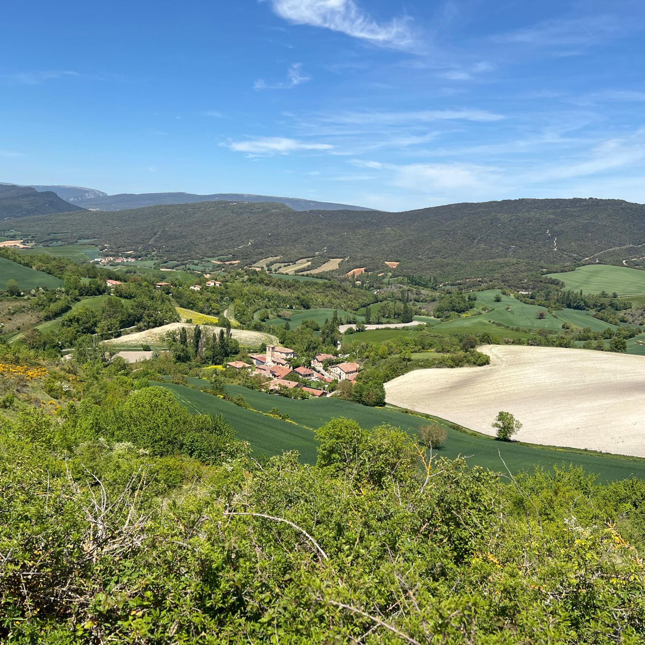
Hiking trails around Condado De Treviño traverse a landscape shaped by fluvial valleys, particularly that of the Ayuda River, and bordered by mountain ranges. To the north, the Montes de Vitoria present dense forests, while the Sierra de Cantabria forms a southern boundary. This creates a varied topography of hills, ridges, and forested areas, offering diverse hiking opportunities.
Best hiking trails around Condado De Treviño
- The most popular hiking route is Zaldiaran Pass – Arrieta Summit loop from Doroño, a 3.1 miles (5.0 km) trail that takes 1 hour 37 minutes to complete. This easy loop offers views towards the Montes de Vitoria.
- Another top favourite among local hikers is Las Gobas – Santorkaria loop from Albaina, a moderate 4.8 miles (7.7 km) path. This route passes by the ancient eremitories of Las Gobas, carved into rock formations.
- Local hikers also love the Mill loop from La Dehesa, a 3.3 miles (5.3 km) trail leading through the Ayuda River valley, often completed in about 1 hour 29 minutes.
- Hiking around Condado De Treviño is defined by river valleys, dense forests, and varied mountain terrain. The network offers options for different ability levels, from easy walks to more demanding trails.
- The routes in Condado De Treviño are highly rated by the komoot community with an average score of 4.4 stars from over 170 reviews. More than 1100 hikers have used komoot to explore Condado De Treviño's varied terrain.
Last updated: July 15, 2026
4.6
(7)
25
hikers
4.95km
01:37
230m
220m
Easy hike. Great for any fitness level. Easily-accessible paths. Suitable for all skill levels.
4.7
(3)
17
hikers
7.72km
02:12
170m
170m
Moderate hike. Good fitness required. Easily-accessible paths. Suitable for all skill levels.

Sign up for free
5.0
(2)
22
hikers
5.91km
01:35
70m
70m
Easy hike. Great for any fitness level. Easily-accessible paths. Suitable for all skill levels.
4.9
(17)
122
hikers
9.61km
02:36
130m
130m
Moderate hike. Good fitness required. Easily-accessible paths. Suitable for all skill levels.
7
hikers
9.79km
02:41
160m
160m
Moderate hike. Good fitness required. Easily-accessible paths. Suitable for all skill levels.
Get access to more routes and recommendations from other explorers.
Sign up for free
Already have an account?
Our route recommendations are based on thousands of hikes, rides, and runs completed by other people on komoot.
Start today with a free account
Your next adventure awaits.
Login or Signup
Popular around Condado De Treviño
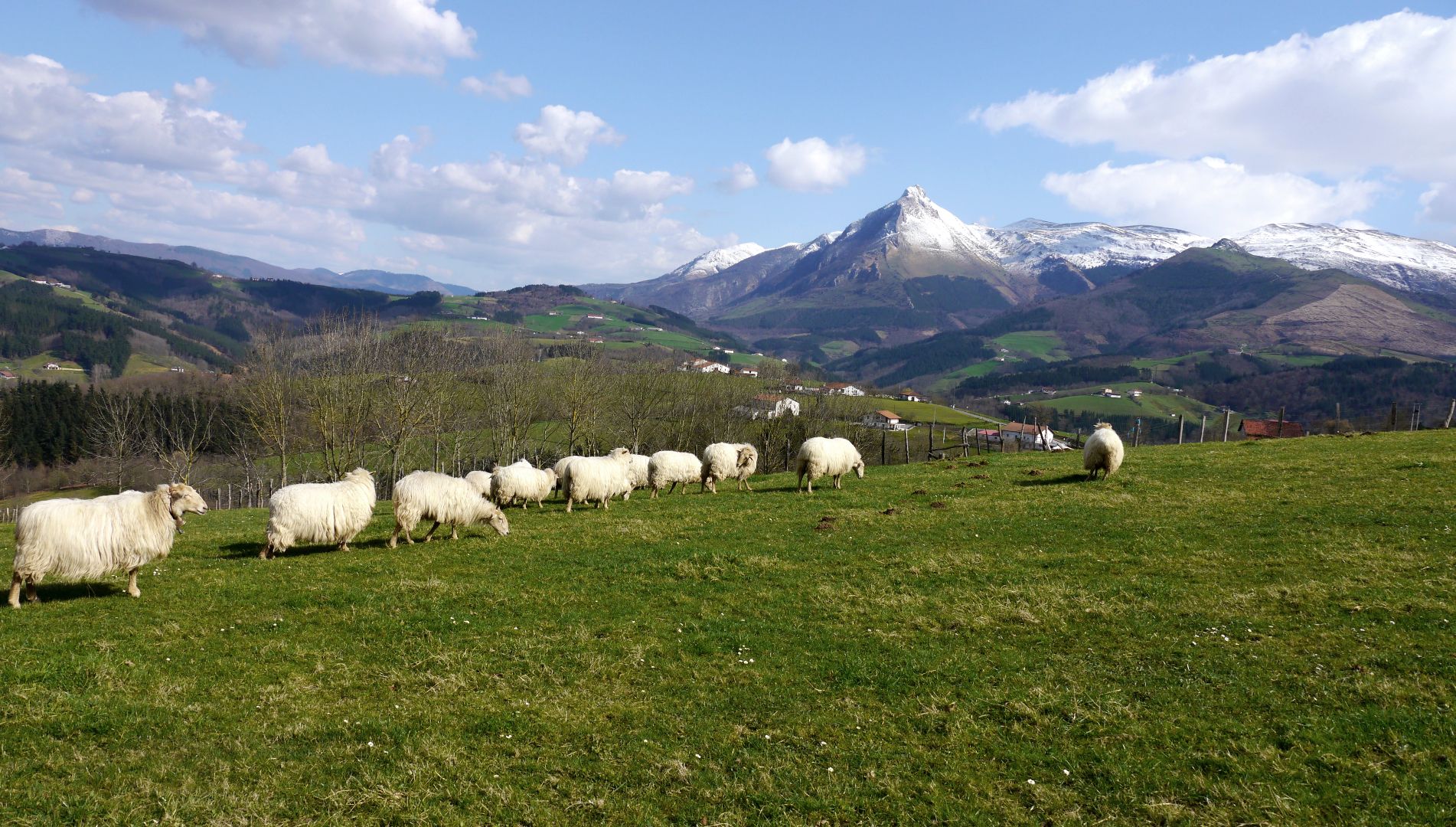
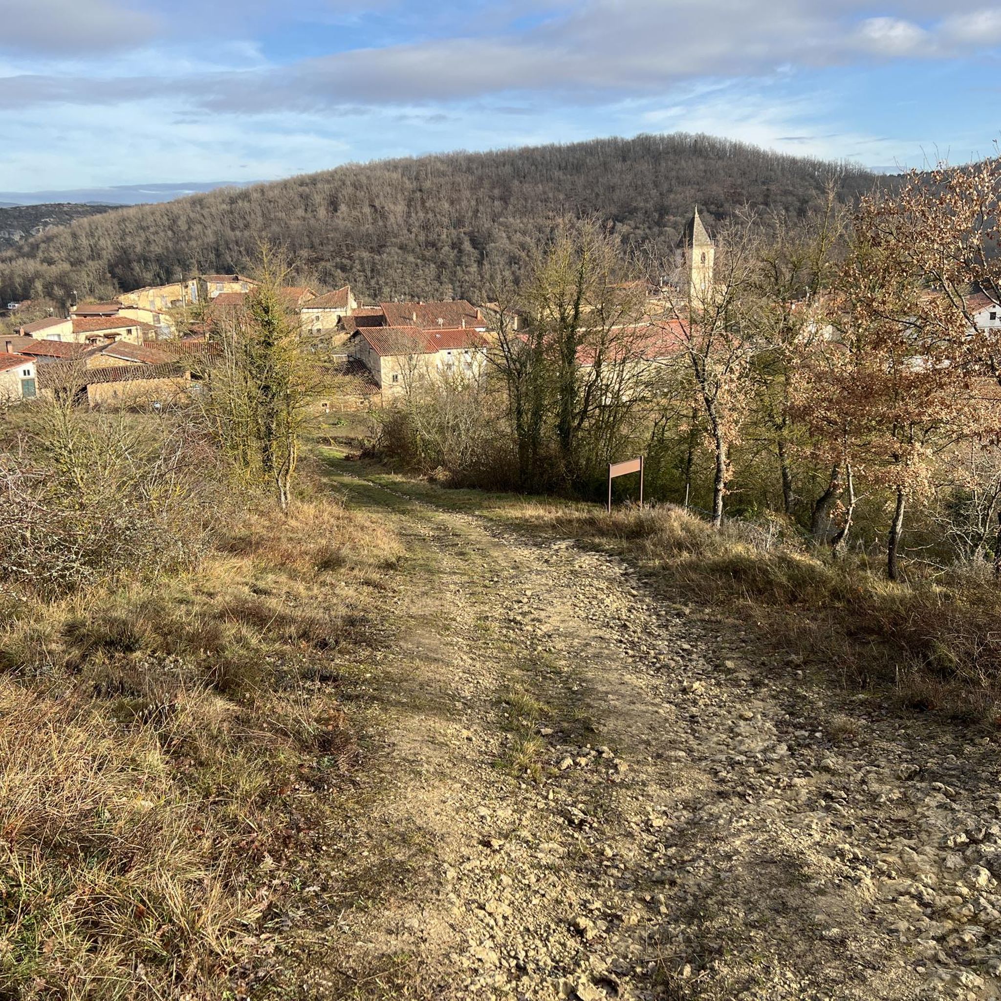
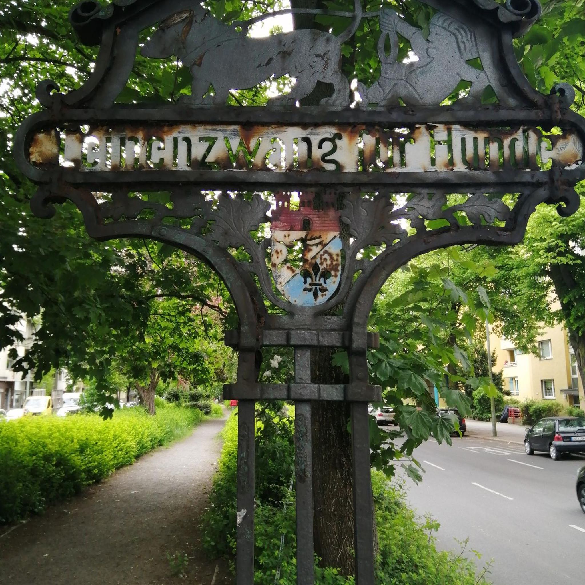
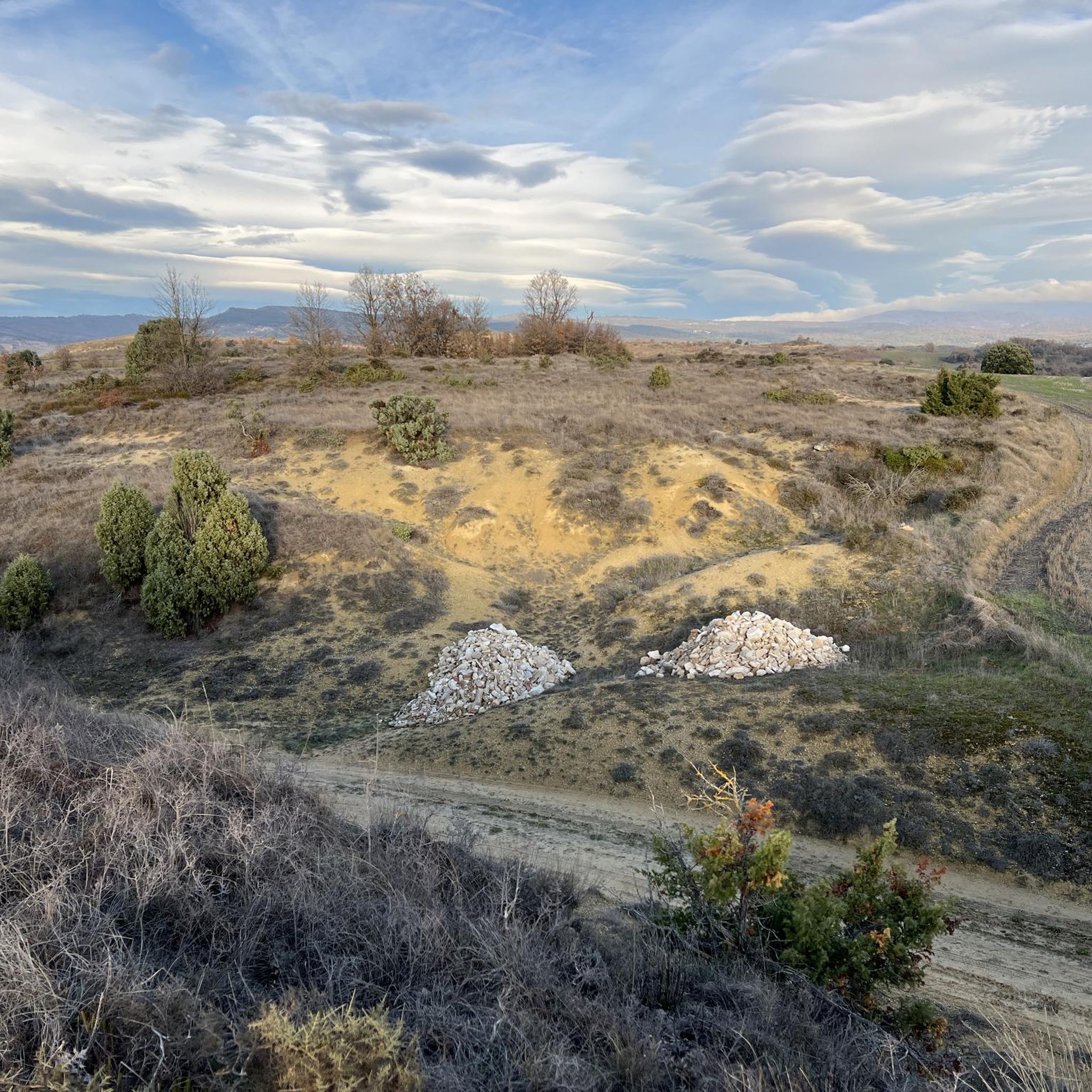
Other adventures around Condado De Treviño

Tips from the Community

Whenever I'm around dinnertime, I take a little detour to see them.
1
0
A good starting point, whether you're coming from the Alava or Burgos area.
1
0

The first port to climb in Vitoria when you start cycling.
2
0
More bearable on the Berrostegieta slope. From Treviño, it's all uphill and it gets tough.
2
0

Close to Vitoria...and without much difficulty
0
0

for the views and the tranquility of the place
0
0
for the views and the tranquility of the site
0
0
Frequently Asked Questions
What types of landscapes will I encounter on hikes in Condado De Treviño?
Condado De Treviño offers a diverse landscape shaped by the Ayuda River and its tributaries. You'll find fluvial valleys, dense forests of beech, oak, and yew in the Montes de Vitoria to the north, and the striking white crests of the Sierra de Cantabria to the south. This creates a varied topography of hills, ridges, and plains, providing a rich natural environment for exploration.
Are there easy hiking trails suitable for beginners or families in Condado De Treviño?
Yes, Condado De Treviño has several easy hiking trails perfect for beginners or families. For instance, the Mill loop from La Dehesa is an easy 3.3-mile (5.3 km) trail that follows the Ayuda River valley. Overall, there are 8 easy routes available in the region.
What interesting natural features or historical sites can I discover along the hiking trails?
Hikers can explore a wealth of natural and historical attractions. The region is known for its caves, such as the ancient eremitories of Las Gobas, carved into rock formations. You can also find beautiful waterfalls like the Ollerías Waterfall and the Inglares Waterfall. Additionally, charming medieval villages and Romanesque churches dot the landscape, offering glimpses into the area's rich heritage.
Are there any circular hiking routes in Condado De Treviño?
Yes, many of the hiking routes in Condado De Treviño are circular, allowing you to start and end at the same point. An example is the Balsa de Obekuri loop from Bajauri, a moderate 9.8 km (6.1 miles) trail that offers a pleasant round trip.
What do other hikers enjoy most about hiking in Condado De Treviño?
The hiking experience in Condado De Treviño is highly rated by the komoot community, with an average score of 4.4 stars from over 170 reviews. Hikers often praise the varied terrain, from river valleys to dense forests, and the opportunity to discover historical sites like the eremitories of Las Gobas. The well-maintained paths and scenic views are also frequently highlighted.
Can I bring my dog on the hiking trails in Condado De Treviño?
Many trails in Condado De Treviño are suitable for dogs, but it's always recommended to check specific route details on komoot for any restrictions or local regulations. Generally, dogs are welcome on most natural trails, especially if kept on a leash to protect wildlife and ensure the comfort of other hikers.
Is public transport available to reach the trailheads in Condado De Treviño?
Public transport options to reach specific trailheads in the rural Condado De Treviño region can be limited. It is often more convenient to travel by car, as many starting points for hikes are located in smaller villages or natural areas not directly served by frequent public transport. Planning your route in advance and checking local bus schedules is advisable if relying on public transport.
What is the best time of year to go hiking in Condado De Treviño?
The best time to go hiking in Condado De Treviño is typically during spring (April to June) and autumn (September to October). During these seasons, the weather is generally mild and pleasant, with vibrant spring blooms or beautiful autumn foliage. Summer can also be enjoyable, but it's advisable to start early to avoid the midday heat. Winter hiking is possible, but some higher elevation trails might be affected by snow or colder conditions.
Are there any trails that follow rivers or feature water elements?
Yes, the region is defined by its fluvial valleys, particularly that of the Ayuda River. Many trails incorporate water features. For example, the Ayuda River Gorge – Cave loop from Sáseta is a moderate 7.5 km (4.7 miles) route that takes you through the river gorge, offering scenic views and the chance to explore caves.
How many hiking routes are available in Condado De Treviño?
There are over 40 hiking routes available in Condado De Treviño, catering to various fitness levels. This includes 8 easy routes, 32 moderate routes, and 1 difficult route, ensuring there's a trail for almost every hiker.
Are there any trails that offer views of the surrounding mountain ranges?
Absolutely. The region is bordered by the Montes de Vitoria to the north and the Sierra de Cantabria to the south, offering numerous opportunities for panoramic views. The Zaldiaran Pass – Arrieta Summit loop from Doroño, for instance, provides excellent views towards the Montes de Vitoria.
What is the general difficulty level of hikes in Condado De Treviño?
The hikes in Condado De Treviño range from easy to difficult, with the majority falling into the moderate category. Out of over 40 routes, 8 are considered easy, 32 are moderate, and 1 is difficult. This variety ensures that both casual walkers and experienced hikers can find suitable challenges.
Most popular routes around Condado De Treviño
Most popular attractions around Condado De Treviño

Get inspired with the komoot mobile app


Explore more
Browse the best Hikes in other regions.
