The best running trails around Toses
4.6
(23)
3,784
runners
186
runs
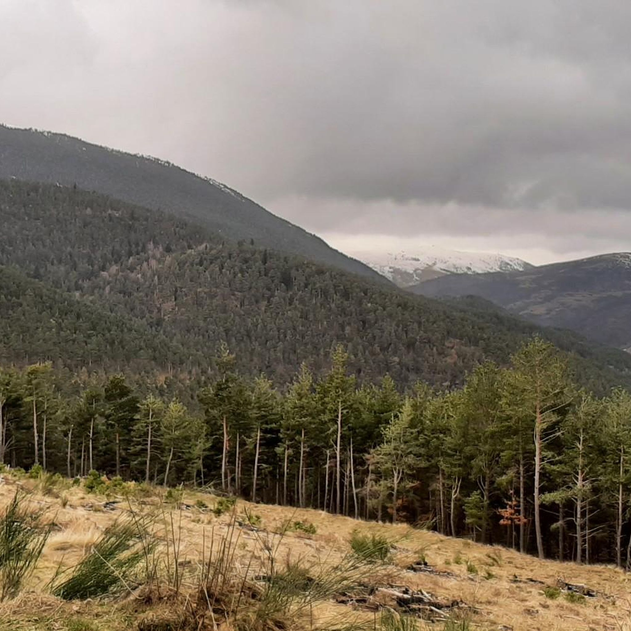
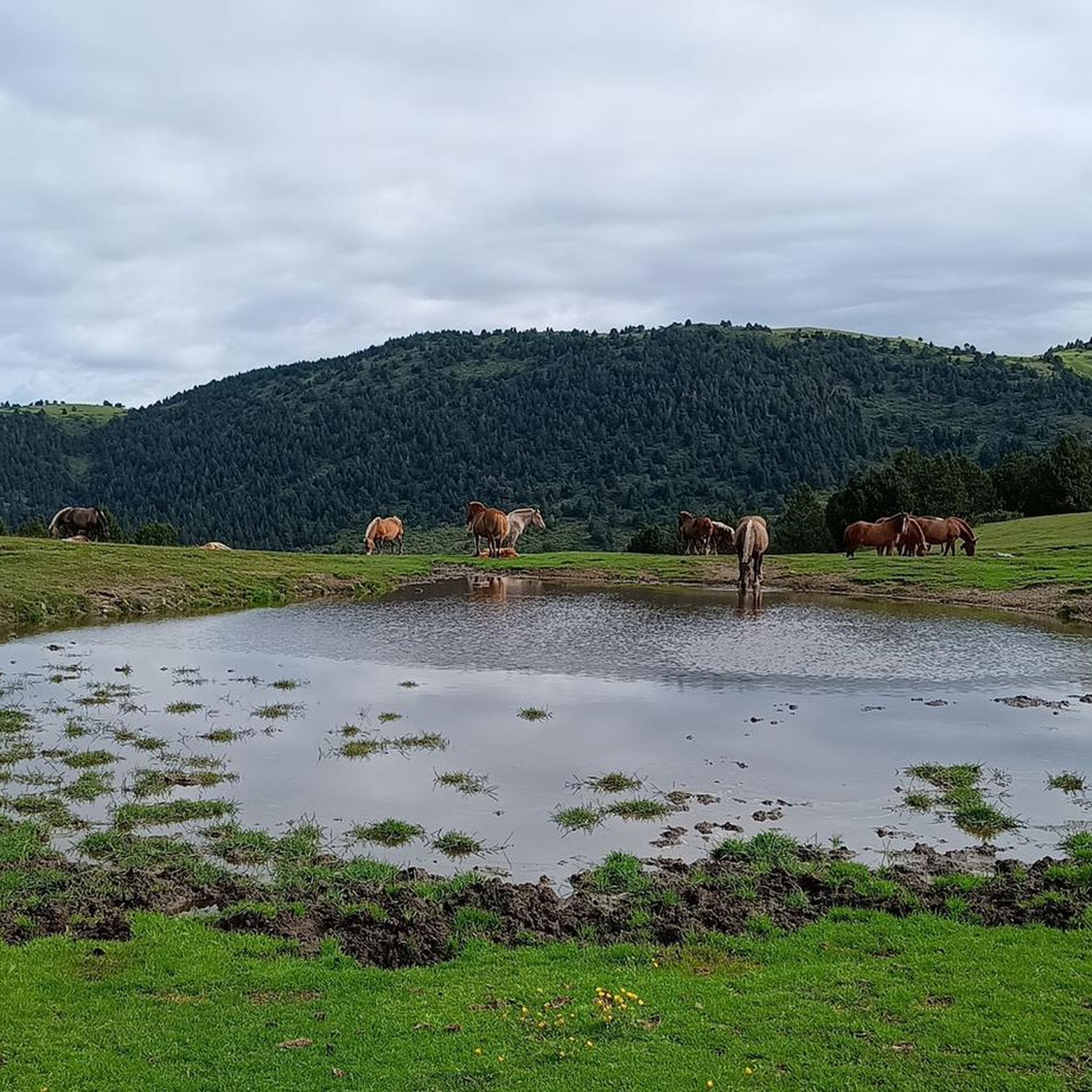
Jogging around Toses offers access to the mountainous terrain of the Catalan Pyrenees in Girona, Spain. The region is characterized by significant peaks, lush woodlands, and expansive meadows, providing varied running experiences. Trails often lead through high mountain passes, offering expansive views of the Pyrenean landscape. The presence of rivers like the Rigat and natural water features contributes to the scenic beauty of many running routes.
Best jogging routes around Toses
- The most popular jogging route is La Covil Shelter…
Last updated: July 1, 2026
51
runners
23.2km
03:42
1,280m
1,280m
Hard run. Very good fitness required. Sure-footedness, sturdy shoes and alpine experience required.
34
runners
27.7km
04:21
1,480m
1,480m
Hard run. Very good fitness required. Sure-footedness, sturdy shoes and alpine experience required.

Sign up for free
49
runners
14.1km
01:53
510m
510m
Hard run. Very good fitness required. Mostly paved surfaces. Suitable for all skill levels.
24
runners
8.38km
01:13
410m
410m
Hard run. Very good fitness required. Mostly paved surfaces. Suitable for all skill levels.
18
runners
23.9km
03:21
1,140m
1,140m
Hard run. Very good fitness required. Mostly accessible paths. Some sure footedness required.
Get access to more routes and recommendations from other explorers.
Sign up for free
Already have an account?
Our route recommendations are based on thousands of hikes, rides, and runs completed by other people on komoot.
Start today with a free account
Your next adventure awaits.
Login or Signup

Tips from the Community

Una de les millors vistes entre la Cerdanya i el Berguedà
0
0
Es pot arribar amb vehicle per començar excursions
0
0

Masella - Niu - Coma Oriola - Niu - Masella. Controlant Z3 - Z4. De tranquis, sense apretar en cap moment, sumant desnivell. Molt bones sensacions.
0
0

The Niu de l'Àliga Refuge is located at an altitude of 2,500 meters at the top of Tosa d'Alp, in the municipality of Bagà. This refuge is an iconic building at the highest point of the La Molina ski resort and offers spectacular views of the Cerdanya valley, Ripollès, and Berguedà. It is a privileged spot to enjoy sunsets and moonlit nights. The refuge has capacity for 27 people and offers services such as a cable car, blankets, showers, mobile charging, Wi-Fi, a bar, and a restaurant.
5
0


One of the great mountain passes in Catalonia, 19 km at an average of over 8%, with spectacular views throughout the ascent. It is recommended to make a stop at the source of the km. 9 and breathe at the Mirador de la Devesa. The last km is amazing, when it doesn't seem to end... you're there!! Height 2105 masl.
0
0

It is a very quiet town from where countless mountain routes start, both for mountain biking and trekking. There are also several road climbs to enjoy the landscape of this beautiful valley.
1
0
Passage point between the Collada de Toses and Ribes de Freser, and starting point of the Coll de les Barraques. There is a hostel and it is a good point to explore the Pyrenees between Ripollès and Cerdanya.
1
0
Frequently Asked Questions
How many running routes are available around Toses?
Toses offers a wide variety of running experiences, with over 180 routes documented on komoot. These range from easy paths to very challenging mountain trails, catering to different fitness levels.
Are there any easy jogging routes suitable for beginners or casual runners in Toses?
While Toses is known for its mountainous terrain, there are a few less strenuous options. The region offers 3 easy running routes, which are generally shorter and have less elevation gain, making them suitable for a more relaxed jog.
What kind of terrain can I expect on running trails in Toses?
The running trails around Toses are characterized by diverse mountainous terrain within the Catalan Pyrenees. You'll encounter varied surfaces, from rolling green hillsides to more technical mountain paths with rocks, roots, and steep climbs. Many routes lead through high mountain passes, offering expansive views.
Are there any circular running routes in the Toses area?
Yes, many of the running routes in Toses are designed as loops, allowing you to start and finish at the same point. For example, the La Covil Shelter – Coll Roig loop from Planoles is a popular circular option, as is the Running loop from Planoles.
Can I find running routes with scenic views in Toses?
Absolutely. Toses is nestled in the Pyrenees, offering breathtaking scenery. Many routes, such as the Puigllançada Summit – Niu de l'Àliga Refuge loop from la Molina, lead to summits or high mountain passes, providing expansive and rewarding views of the surrounding landscape.
Are there any running trails that pass by waterfalls or other natural water features?
Yes, the region's natural water features contribute significantly to its scenic beauty. You might encounter picturesque environments like Las Fuentes del Llobregat or the Horsetail Waterfall. Specific highlights include the Torrent de la Cabana Waterfalls and Salt del Grill, which are notable natural monuments in the area.
What do other runners say about the trails in Toses?
The running routes in Toses are highly regarded by the komoot community, holding an impressive average rating of 4.6 stars from over 20 reviews. Runners often praise the diverse terrain, the challenging ascents, and the stunning Pyrenean views.
Are there any family-friendly running paths in Toses?
While many routes in Toses are challenging, the presence of diverse terrain suggests that some less strenuous paths could be suitable for families looking for a lighter jog or walk. It's advisable to check the difficulty and elevation profiles of individual easy routes to ensure they match your family's capabilities.
Are the running routes in Toses dog-friendly?
The mountainous and natural environment of Toses generally welcomes dogs on trails. However, it's always recommended to keep dogs on a leash, especially in areas with wildlife or livestock, and to check for any specific local regulations or protected areas that might have restrictions.
Where can I find parking for the running trailheads in Toses?
Many trailheads in Toses, particularly those starting from villages like Planoles or near mountain resorts like La Molina, offer designated parking areas. For specific routes, such as the Niu de l'Àliga Refuge loop from la Molina, you would typically find parking facilities at the starting point in La Molina.
Are there any landmarks or points of interest along the running routes in Toses?
Yes, the region is rich in natural and scenic landmarks. Along your runs, you might encounter significant peaks like Puigmal d'Er Summit, enjoy panoramic views from Núria Viewpoint, or even spot the Vall de Núria Rack Railway.
What is the best time of year for trail running in Toses?
The Pyrenean climate means that spring, summer, and early autumn generally offer the most favorable conditions for trail running in Toses, with milder temperatures and less snow at higher elevations. Always check local weather forecasts and trail conditions before heading out, especially during shoulder seasons.
Most popular attractions around Toses

Get inspired with the komoot mobile app


Explore more
Browse the best Running Trails & Routes in other regions.
