The best mountain hikes around Llançà
5.0
(4)
11
hikers
5
hikes
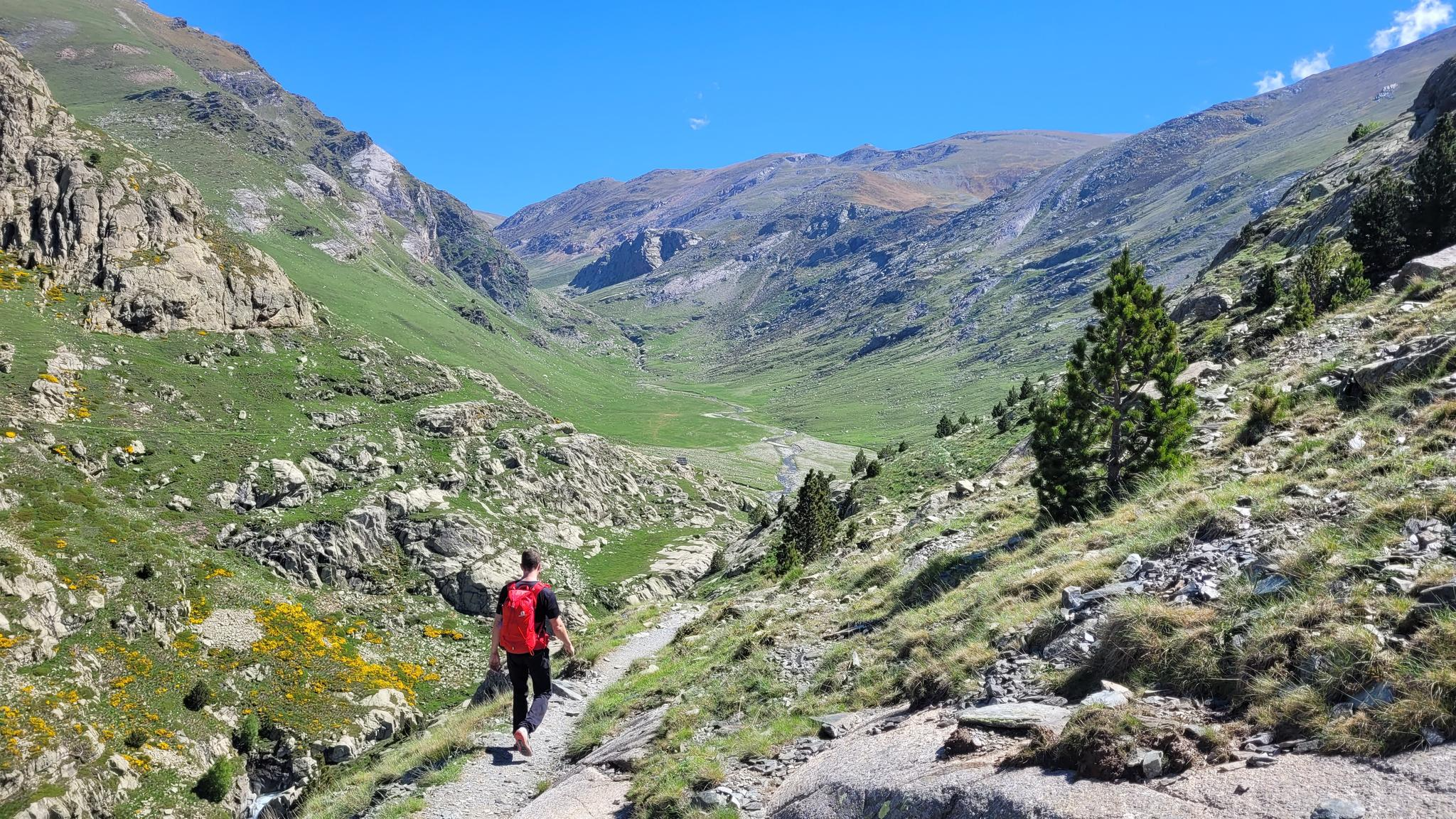
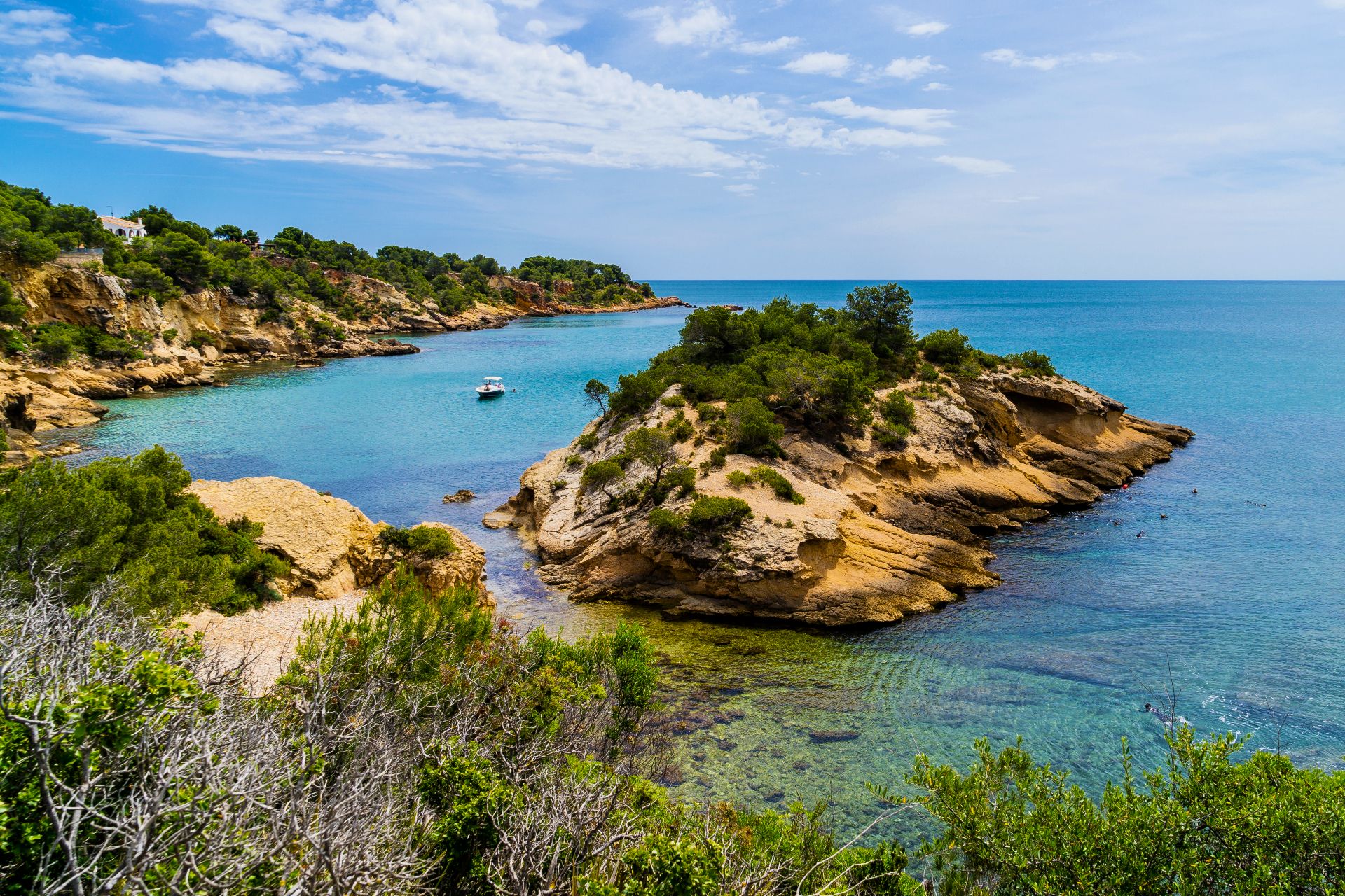
Mountaineering routes around Llançà are situated in a diverse landscape where the Mediterranean Sea meets the foothills of the Pyrenees. The region is characterized by unique rock formations within Cap de Creus Natural Park and the rugged terrain of the Sierra de l'Albera, which forms the easternmost section of the Pyrenees. This area offers a blend of coastal paths and challenging ascents, with elevations ranging from sea level to peaks like Puig d'Esquers at 606 meters. The natural environment features…
Last updated: July 12, 2026
5.0
(1)
4
hikers
Hard mountaineering route. Good fitness required. Sure-footedness, sturdy shoes and alpine experience required.
1
hikers
Moderate mountaineering route. Good fitness required. Mostly accessible paths. Sure-footedness required.

Sign up for free
5.0
(2)
2
hikers
9.39km
03:34
420m
410m
Hard mountaineering route. Good fitness required. Sure-footedness, sturdy shoes and alpine experience required.
5.0
(1)
1
hikers
13.1km
04:50
710m
710m
Moderate mountaineering route. Good fitness required. Mostly accessible paths. Sure-footedness required.
1
hikers
9.00km
04:01
590m
590m
Moderate mountaineering route. Good fitness required. Mostly accessible paths. Sure-footedness required.
Our route recommendations are based on thousands of hikes, rides, and runs completed by other people on komoot.
Start today with a free account
Your next adventure awaits.
Login or Signup
Popular around Llançà
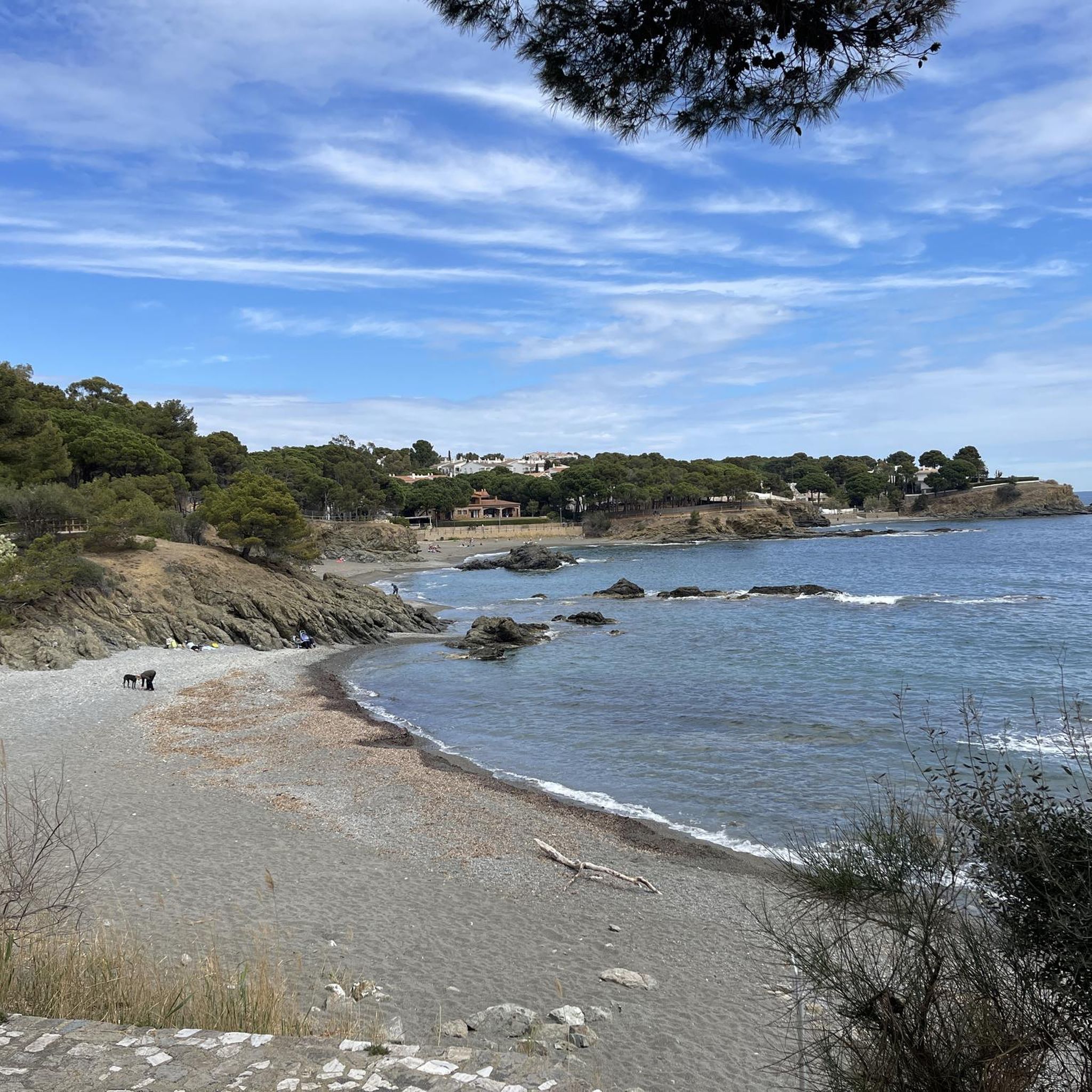
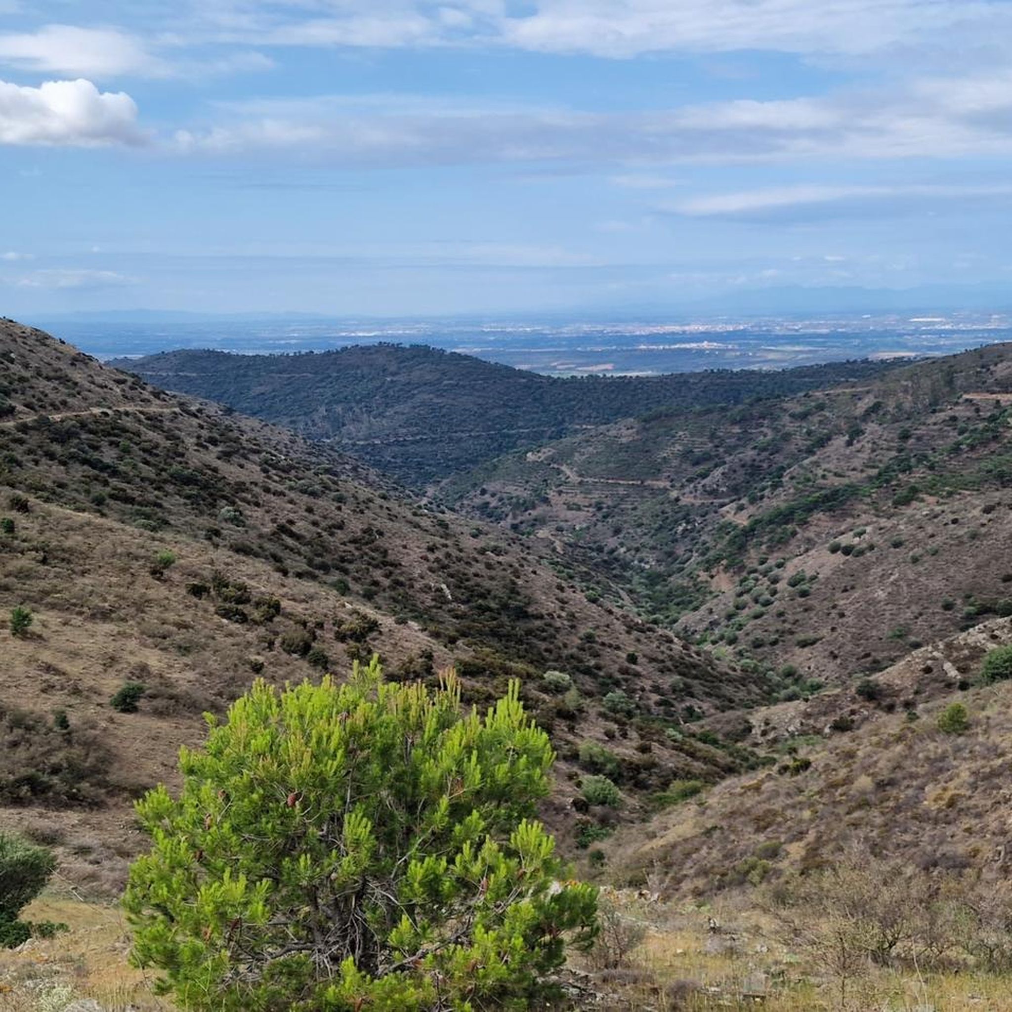
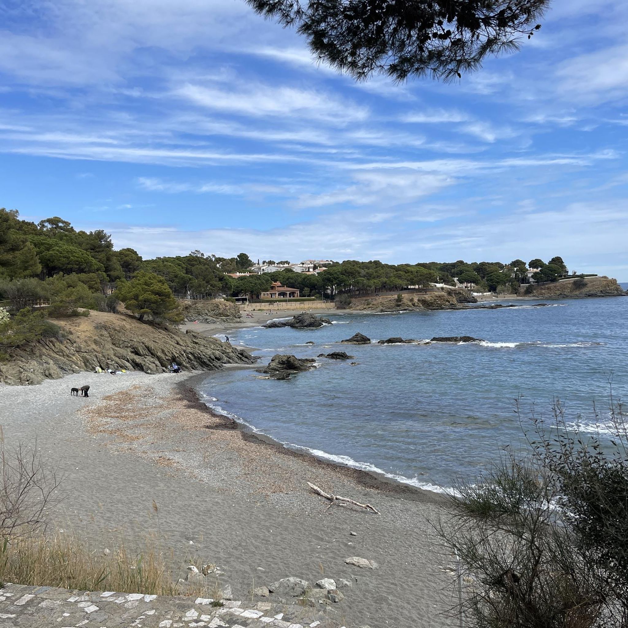
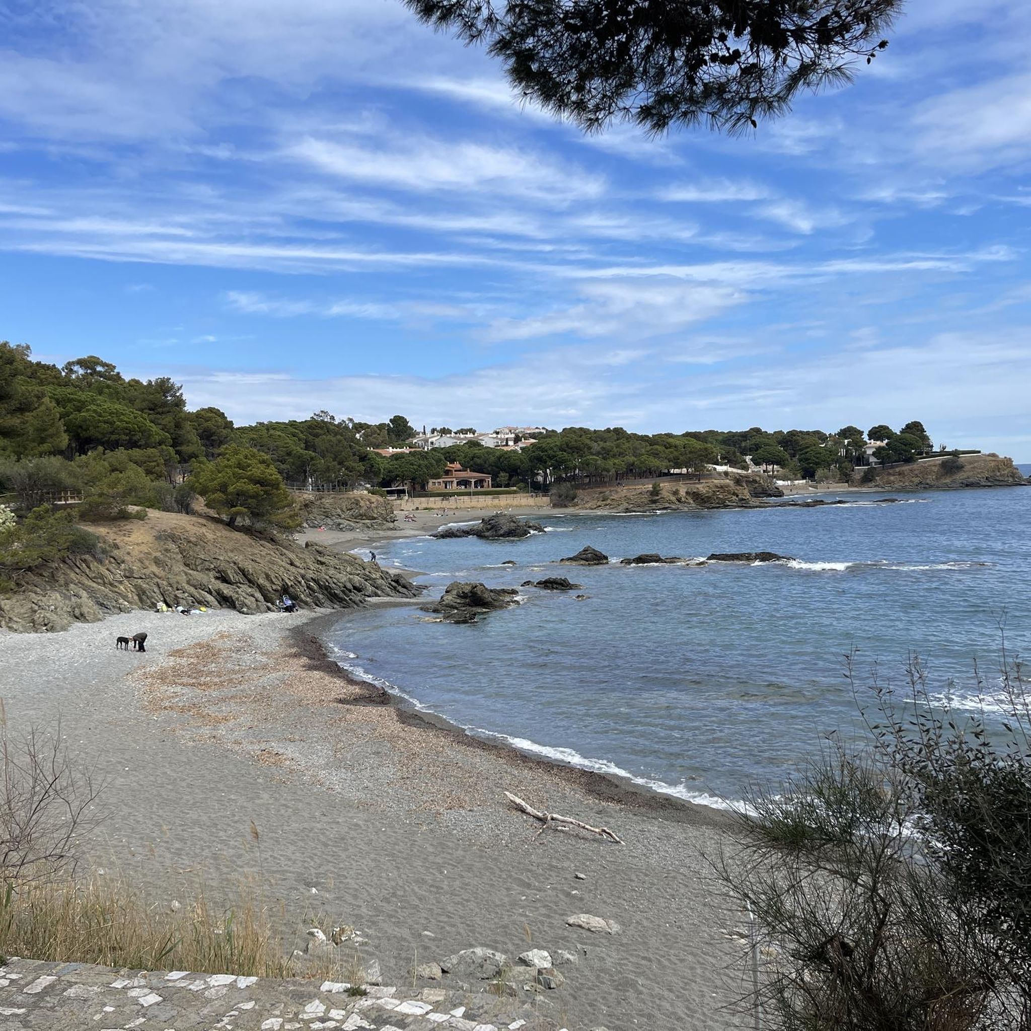



Tips from the Community

The view from the Benedictine abbey, founded in 878, across the sea, the bays and mountains of Cap de Creus is particularly magnificent.
0
0
Magnificent power tree
0
0

A huge cork oak, surely centuries old... Perfect for a stop and a few photos to remember, while you contemplate its grandeur...
0
0

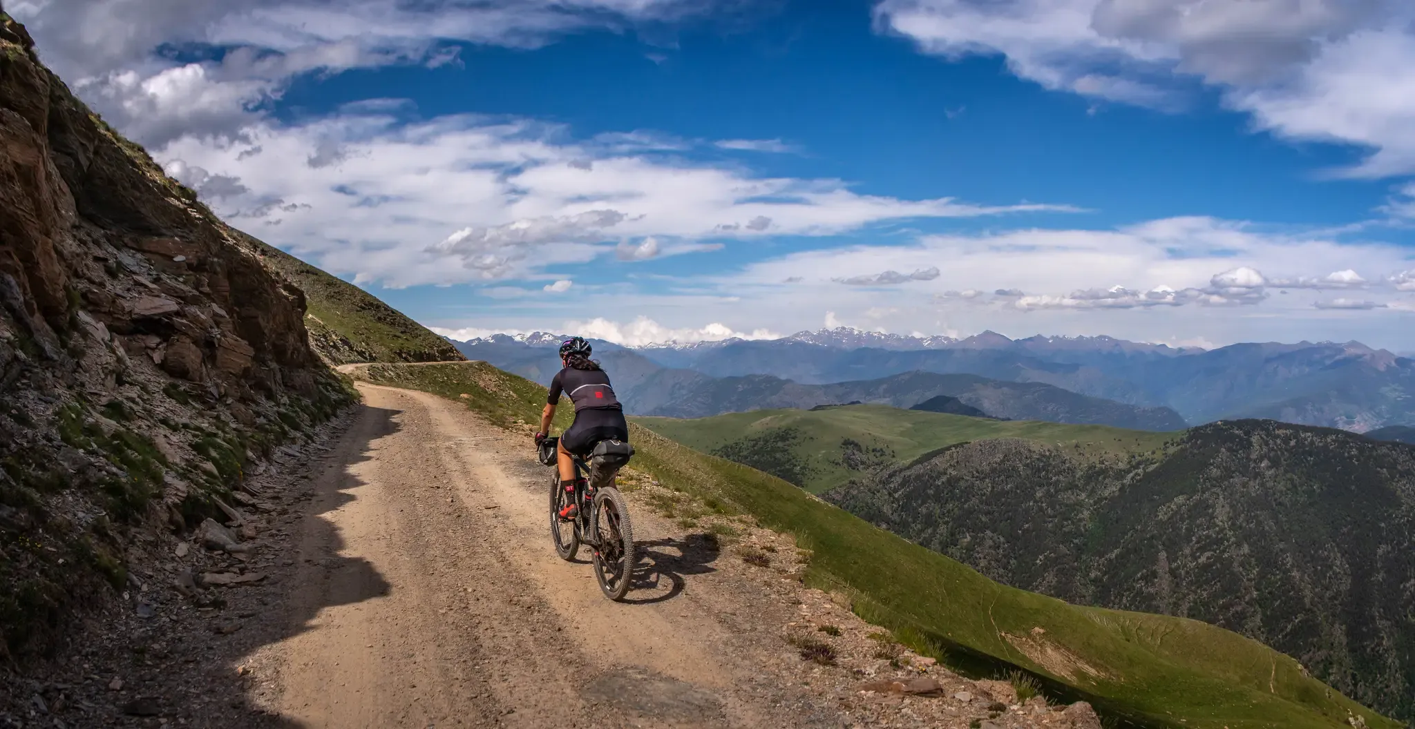
Fantastic old Monestir. It’s hard to imagine it’s thát old. Somehow it made me think of the James Bond movie Skyfall. Definitely worth a visit. Last part of the road is unpaved. For that part the Gravelbike or an MTB is the best choice
1
0

very pretty views but be careful: unpaved track
0
0

The monastery of Sant Quirze de Colera is a Benedictine abbey documented since the 9th century, in the Catalan municipality of Rabós in the Alto Ampurdán region (Girona, Spain).
2
0

A route to get started on and above all to look at the weather forecast, if it's windy you won't enjoy it.
2
0

A historic watchtower located on the French-Spanish border. Located at an altitude of 637 metres, this tower offers breathtaking panoramic views of the Mediterranean Sea and the Pyrenees.
0
0
Frequently Asked Questions
What kind of terrain can I expect on mountaineering routes around Llançà?
The terrain around Llançà is incredibly diverse, offering a unique blend of coastal paths and challenging ascents. You'll find rugged foothills of the Sierra de l'Albera, which is the easternmost section of the Pyrenees, alongside the distinctive rock formations of Cap de Creus Natural Park. Expect varied vegetation, from Mediterranean brush to oak woods, all shaped by the strong 'tramuntana' wind.
Are there any beginner-friendly mountaineering routes in Llançà?
While some routes are challenging, Llançà offers several moderate mountaineering options suitable for those with some experience. For example, the Cova de Veta Negra – Sant Salvador Castle loop from Monestir de Sant Pere de Rodes is a moderate 4.1-mile (6.6 km) path that provides great views without extreme difficulty. Another moderate choice is the Puig de les Guilles – Puig Bonic loop from Monestir de Sant Quirze de Colera, covering about 5.4 miles (8.7 km).
Can I find circular mountaineering routes in the Llançà area?
Yes, many of the mountaineering routes around Llançà are designed as loops, allowing you to start and finish at the same point. Examples include the Cova de Veta Negra – Sant Salvador Castle loop from Palau-saverdera and the Puig de l'Àliga – Dolmen du Col de la Farella loop from Cerbère. These circular routes offer varied scenery throughout your journey.
What historical landmarks or attractions can I see along the mountaineering routes?
The region is rich in history. Many routes pass by or offer views of significant landmarks. You might encounter the impressive Sant Pere de Rodes Monastery, a Benedictine monastery with stunning architecture and panoramic views. The Sant Salvador de Verdera Castle Ruins are also a prominent feature on some trails, offering a glimpse into the area's past. Additionally, you can find ancient dolmens and other historical structures integrated into the natural landscape.
Are there any routes that offer exceptional viewpoints?
Absolutely. The mountainous terrain ensures many routes provide breathtaking panoramas. For instance, the ascent to Puig d'Esquers, the highest mountain in Llançà at 606 meters, offers exceptional views of the Empordà plain and the Mediterranean coast. The Antenna of Faner also provides fantastic panoramic views of Llançà and its surroundings. Many trails in Cap de Creus Natural Park offer stunning coastal vistas.
What is the best season for mountaineering in Llançà?
The best seasons for mountaineering in Llançà are typically spring and autumn. During these times, the weather is milder, and the temperatures are more comfortable for strenuous activity. Summers can be very hot, especially at lower altitudes, while winters, though generally mild, can bring colder conditions and occasional strong 'tramuntana' winds, particularly on exposed peaks.
Are there any family-friendly mountaineering options in Llançà?
While many mountaineering routes involve significant elevation gain and can be challenging, some moderate trails might be suitable for active families with older children. It's best to check the specific route details, including distance and elevation, to ensure it matches your family's fitness level. Look for routes with shorter distances and less steep ascents, or consider coastal paths within Cap de Creus for a less strenuous experience.
Are dogs allowed on the mountaineering trails around Llançà?
Generally, dogs are welcome on many hiking and mountaineering trails in the Llançà region, especially within the natural parks like Cap de Creus and Sierra de l'Albera. However, it's always advisable to keep them on a leash, especially in protected areas, to protect local wildlife and ensure the safety of other hikers. Always check specific park regulations or route descriptions for any restrictions before heading out.
What do other mountaineers enjoy most about the routes in Llançà?
The mountaineering routes in Llançà are highly rated by the komoot community, with an average score of 5.0 stars. Reviewers often praise the unique combination of sea and mountain views, the diverse landscapes ranging from rugged peaks to coastal paths, and the rich historical elements found along the trails. The challenging yet rewarding ascents and the sense of exploration in a protected natural environment are frequently highlighted.
Are there specific natural parks or regions that the mountaineering routes traverse?
Yes, the mountaineering routes primarily traverse two significant natural parks. Many trails are found within the Cap de Creus Natural Park, known for its unique rock formations and coastal paths. Other routes extend into the Sierra de l'Albera (Albera Natural Park), which forms the easternmost section of the Pyrenees, offering more mountainous terrain and diverse vegetation.
How accessible are the trailheads by public transport or where can I find parking?
Accessibility varies by trailhead. Llançà itself is a well-connected town, and some routes may start directly from or near the town center, making them accessible by local public transport. For routes further afield, such as those deeper into Cap de Creus or the Albera Massif, you'll often find designated parking areas at popular trailheads. It's recommended to check the starting point of your chosen route on komoot for specific parking information or public transport options.
Are there any permits required for mountaineering in the Llançà region?
Generally, no specific permits are required for hiking or mountaineering on established trails within the natural parks around Llançà. However, it's always good practice to respect local regulations, especially concerning protected areas like Cap de Creus Natural Park and Albera Natural Park. Always stay on marked paths and avoid disturbing wildlife or vegetation.
Most popular attractions around Llançà

Get inspired with the komoot mobile app


Explore more
Browse the best Mountain Hikes & Routes in other regions.
