The 20 Most Amazing Peaks around Alins
Best mountain peaks around Alins are found in a mountainous region, providing access to the Pyrenees. This area features diverse terrain, including high-altitude summits and challenging mountain passes. The landscape is characterized by rugged peaks and natural viewpoints, offering opportunities for exploration. It serves as a gateway to some of the highest points in the Pyrenees, bordering regions like Catalonia and France.
Best mountain peaks around Alins
- The most popular mountain peaks is Tristaina Solar Viewpoint, a viewpoint that…
Last updated: August 30, 2026
Tristaina Solar Viewpoint
Highlight • Viewpoint
Translated by Google •
Tip by

Coma Pedrosa Summit
Highlight • Summit
Showing Translation
Tip by

Sign up now to discover places like this
Get recommendations on the best single tracks, peaks, & plenty of other exciting outdoor places.
Sign up for free
Beixalis Pass
Highlight • Mountain Pass
Showing Translation
Tip by

Pica d'Estats
Highlight • Summit
Translated by Google •
Tip by

Coll de la Gallina
Highlight • Mountain Pass
Translated by Google •
Tip by

Sign up for free to discover even more peaks around Alins.
Sign up for free
Already have an account?
Start today with a free account
Your next adventure awaits.
Login or Signup


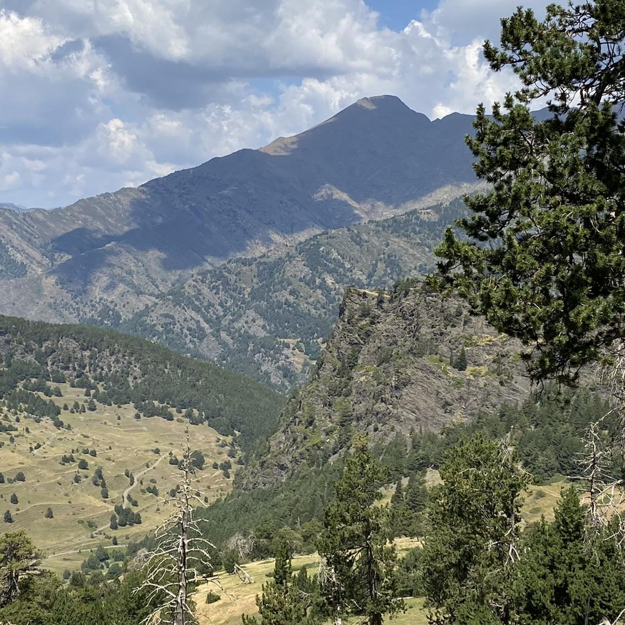
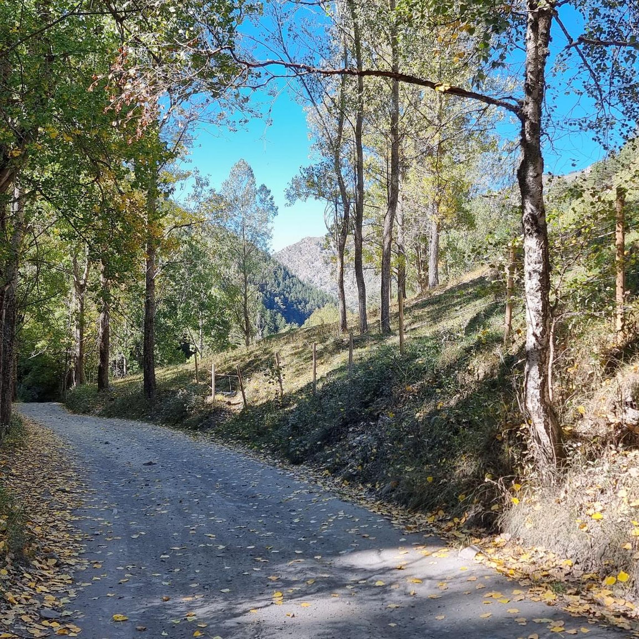
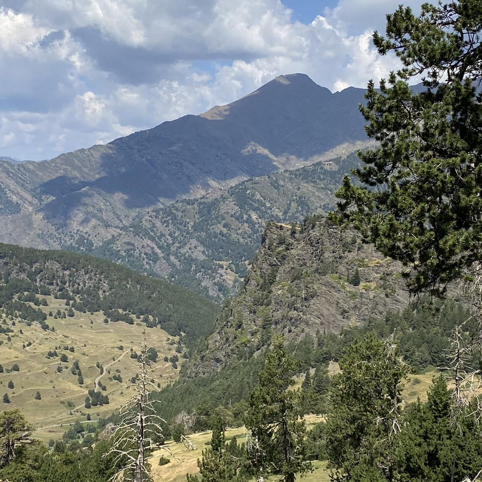
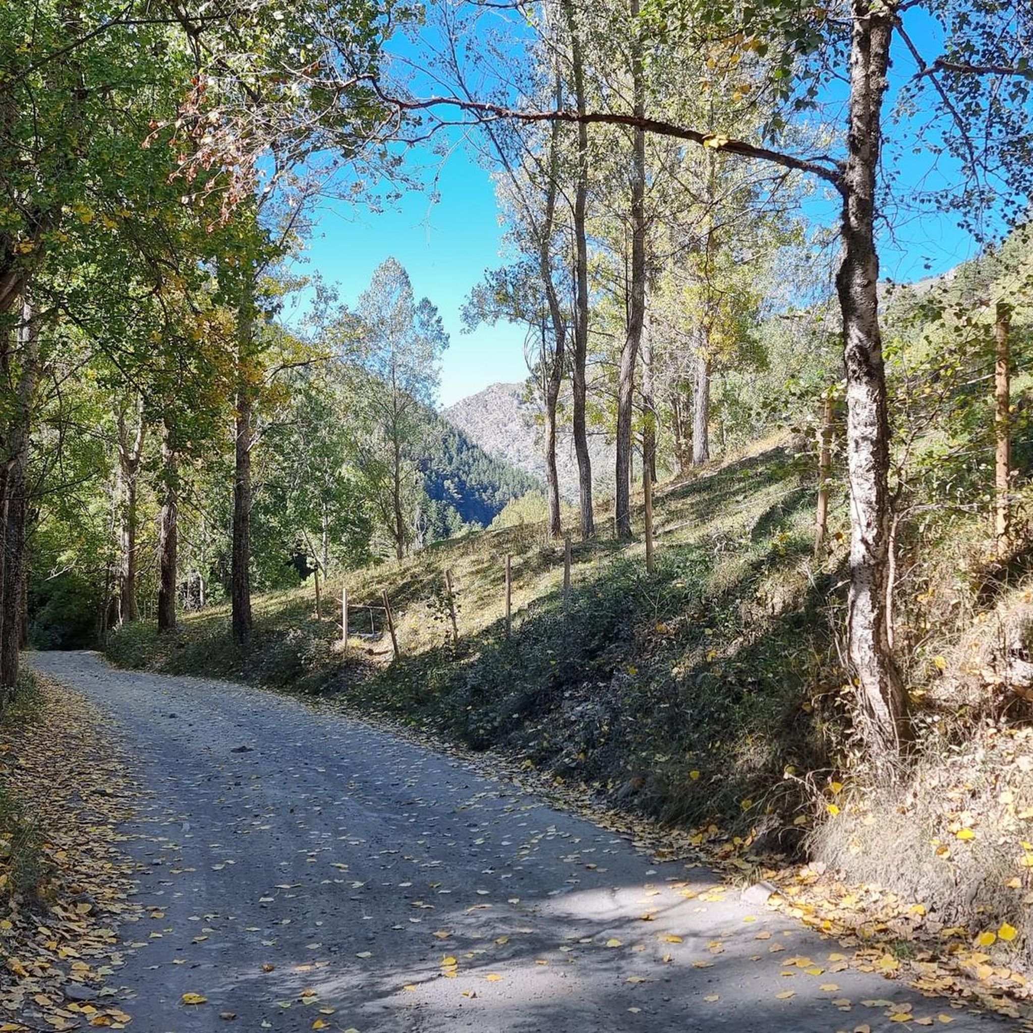




Tips from the Community

The highest peak in the Catalan Pyrenees is well worth the visit, although you have to earn it as it is a long route with considerable elevation gain to overcome.
0
1

Fantastic panoramic views all around; this summit is well worth it, as you can see from my two panorama photos. Ascent from Estany de Sotllo via the pass. I took the partly exposed scrambling/climbing ridge via Pic Verdaguer. Beautiful scrambling; you just have to be careful to stay on the right track. Descent around the summit, then back to the same pass and down past the same beautiful mountain lakes, and via the Valferrera Hut into the valley. The length and roughness of this route surprised me. Luckily, I didn't start my ascent from the hut. The section along the mountainside, especially above the hut, was quite challenging. There are frequent short climbs over rocky outcrops, and at one point, I found myself on a side path below the main trail, which then ended in the undergrowth. After a short climb, everything was fine again.
1
0

Solar viewpoint on the Peyraguils pass or summit, a metal structure that allows a 360° view of the valleys of the Andorran Pyrenees and the Aran Valley, with views of Aneto.
2
0

Very steep. Only the last few kilometers flatten out a bit. Moderate view at the col. Lots of pro cyclists spotted along the way.
1
0

Here again: Someone is rating ALL photos of highlights in this region (Northwest Pyrenees) "not accurate," even though they accurately depict the location? Why does anyone need to do that? Is it jealousy? Does someone want to drag down others' "expert" ratings? How pathetic.
1
1
The highest mountain in Andorra is feasible as a day trip from the country. However, one should be careful, some experienced hikers have already gotten lost. 😜 And the way to Spain or France is long... The easiest ascent is rated T3 according to the SAC scale. On the descent, I went a bit off the summit path in a northeastern direction and descended there. A bit more demanding (T4), but in this case, due to the scree in the upper part, it is easier to navigate on the descent. Here I saw some salamanders.
2
0

For me, Encamp is my favourite training pass. It is demanding at first but then it becomes more bearable.
0
0
The summit can be reached from several sides. The direct route from the Spanish side to the summit ridge is challenging (I estimate it to be T5 according to the SAC scale). However, you can "cheat" by first crossing the pass to the left to the north side, after which you have to descend a bit to reach the trail from the French side. The technically easiest ascent is certainly from the north via the Refuge du Pinet (T3). However, from the parking lot at L'Artigue, the total elevation gain is around 2,000 meters, which is why staying overnight at the refuge is a good option (a winter room was open in October 2024, €8 per night). I chose the third option, from the Étang de Soulcem. From there, it's "only" 1,500 meters of elevation gain with a difficulty of T3+/T4-. However, I chose a variant for the ascent (see my tour) that isn't on the map and that I would rate as T4+.
3
0
Frequently Asked Questions
What are some of the most popular mountain peaks and viewpoints around Alins?
Visitors frequently enjoy the Tristaina Solar Viewpoint, which offers impressive panoramic views of the Arcalís Valley, Andorra, and the Pyrenees from its unique suspended ring sphere. Another highly regarded spot is Coma Pedrosa Summit, the highest peak in Andorra, providing extensive views in all directions from nearly 3000 meters.
Are there any particularly challenging mountain peaks for experienced hikers near Alins?
Yes, for experienced hikers, the ascent to Coma Pedrosa Summit is a challenging hike with technical sections and loose rocks, requiring good physical resistance and appropriate footwear. Similarly, Pica d'Estats, the highest point of Catalonia and Ariège, presents a demanding climb to over 3100 meters on the Franco-Spanish border.
What kind of views can I expect from the mountain peaks in the Alins region?
The mountain peaks and passes around Alins offer spectacular and extensive views. From the Tristaina Solar Viewpoint, you can see the Arcalís Valley and broad Pyrenean landscapes. Coma Pedrosa Summit provides 360-degree vistas from Andorra's highest point, while mountain passes like Coll de la Gallina also boast impressive scenery of the surrounding valleys and mountains.
Are there any mountain passes around Alins that are popular for cycling?
Yes, mountain passes like Collada de Beixalis and Coll de la Gallina are well-known among cyclists. Collada de Beixalis, in particular, has gained popularity since being featured in major cycling tours like the Tour and the Vuelta, known for its very hard climbs. Coll de la Gallina is also a brutal climb with steep gradients, offering spectacular views as a reward.
What outdoor activities can I do near the mountain peaks around Alins?
The region around Alins is excellent for various outdoor activities. You can find numerous hiking trails, including challenging routes like the Pica d'Estats via Vallferrera Trail or moderate options such as the Monteixo and Pic de Norís Loop. For more details on hiking, explore the Hiking around Alins guide. Mountaineering enthusiasts can also find suitable routes, with more information available in the Mountain Hikes around Alins guide. Additionally, there are challenging road cycling routes, including loops over Coll de Port, as detailed in the Road Cycling Routes around Alins guide.
What makes Pica d'Estats a significant mountain peak?
Pica d'Estats is significant as it is the highest point of Catalonia and Ariège, situated on the Franco-Spanish border at over 3100 meters above sea level. It is part of the Montcalm massif and is composed of three peaks, including the central Pica d'Estats, the western Verdaguer peak, and the eastern Gabarró peak. It's also included in the '100 peaks' challenge by the Federation of Excursionist Organizations of Catalonia.
Are there any natural monuments among the peaks around Alins?
Yes, both Coma Pedrosa Summit and Pica d'Estats are recognized as natural monuments. These peaks represent significant natural features of the region, offering not only challenging climbs but also protected natural environments and breathtaking scenery.
What do visitors particularly enjoy about the mountain peaks around Alins?
Visitors appreciate the diverse terrain, from high-altitude summits to challenging mountain passes, and the natural viewpoints offering extensive panoramic views. The unique features like the suspended ring sphere at Tristaina Solar Viewpoint and the sense of achievement from reaching the highest peaks like Coma Pedrosa Summit are frequently highlighted. The opportunity to refill water directly from rocks near Coma Pedrosa is also a practical tip shared by the community.
Are there any moderate hiking trails near the mountain peaks for those seeking less strenuous options?
Yes, while many peaks offer challenging routes, there are also moderate options. For instance, the Monteixo and Pic de Norís Loop is a moderate hiking trail. You can find more moderate routes, such as the 'From La Salabra to Alins — circular through the Parc Natural de l'Alt Pirineu', by checking the Hiking around Alins guide.
What should I know about the altitude when hiking the peaks around Alins?
Many of the prominent peaks around Alins, such as Coma Pedrosa Summit (nearly 3000 meters) and Pica d'Estats (over 3100 meters), are at high altitudes. This means that even if you are physically fit, the altitude can make you feel slower or more tired than usual. It's important to be prepared for this, carry enough water, and be aware of potential changes in weather conditions at higher elevations.
Can I find water sources on the trails leading to the summits?
For some peaks, yes. For example, on the trails leading to Coma Pedrosa Summit, visitors have noted that there are places near the top where you can refill your water bottles directly from rocks, and the water is generally considered safe to drink without treatment.
Most popular attractions around Alins

Get inspired with the komoot mobile app


Explore more
See even more amazing summits around Alins with these guides:
