The best running trails around Alájar
5.0
(1)
336
runners
82
runs
Jogging around Alájar provides diverse routes through the Sierra de Aracena and Picos de Aroche Natural Park, characterized by undulating hills and extensive forests. The region features varied terrain, from gentle slopes to more challenging ascents, with woodlands of cork oaks and holm oaks offering ample shade. This landscape includes dramatic rocky outcrops like Peña Arias Montano, providing panoramic views, and "dehesas" with their unique ecological interest.
Best jogging routes around Alájar
- The most popular jogging route is Pico La…
Last updated: June 23, 2026
3
runners
11.8km
01:35
410m
420m
This difficult 7.3-mile trail run at Pico La Era offers challenging climbs and spectacular views across the Sierra de Aracena y Picos de Aro
14.9km
02:00
430m
430m
This difficult 9.2-mile (14.9 km) jogging loop in Sierra de Aracena offers varied terrain, historical sites, and village views.

Sign up for free
17
runners
11.8km
01:30
270m
270m
Moderate run. Good fitness required. Mostly paved surfaces. Suitable for all skill levels.
8
runners
51.8km
06:40
1,400m
1,400m
Hard run. Very good fitness required. Sure-footedness, sturdy shoes and alpine experience required.
3
runners
11.8km
01:36
420m
420m
Hard run. Very good fitness required. Mostly accessible paths. Some sure footedness required.
Get access to more routes and recommendations from other explorers.
Sign up for free
Already have an account?
Our route recommendations are based on thousands of hikes, rides, and runs completed by other people on komoot.
Start today with a free account
Your next adventure awaits.
Login or Signup
Tips from the Community

Just as a side note: photography is forbidden in the cave. Unlike others, I also adhered to it.
0
0

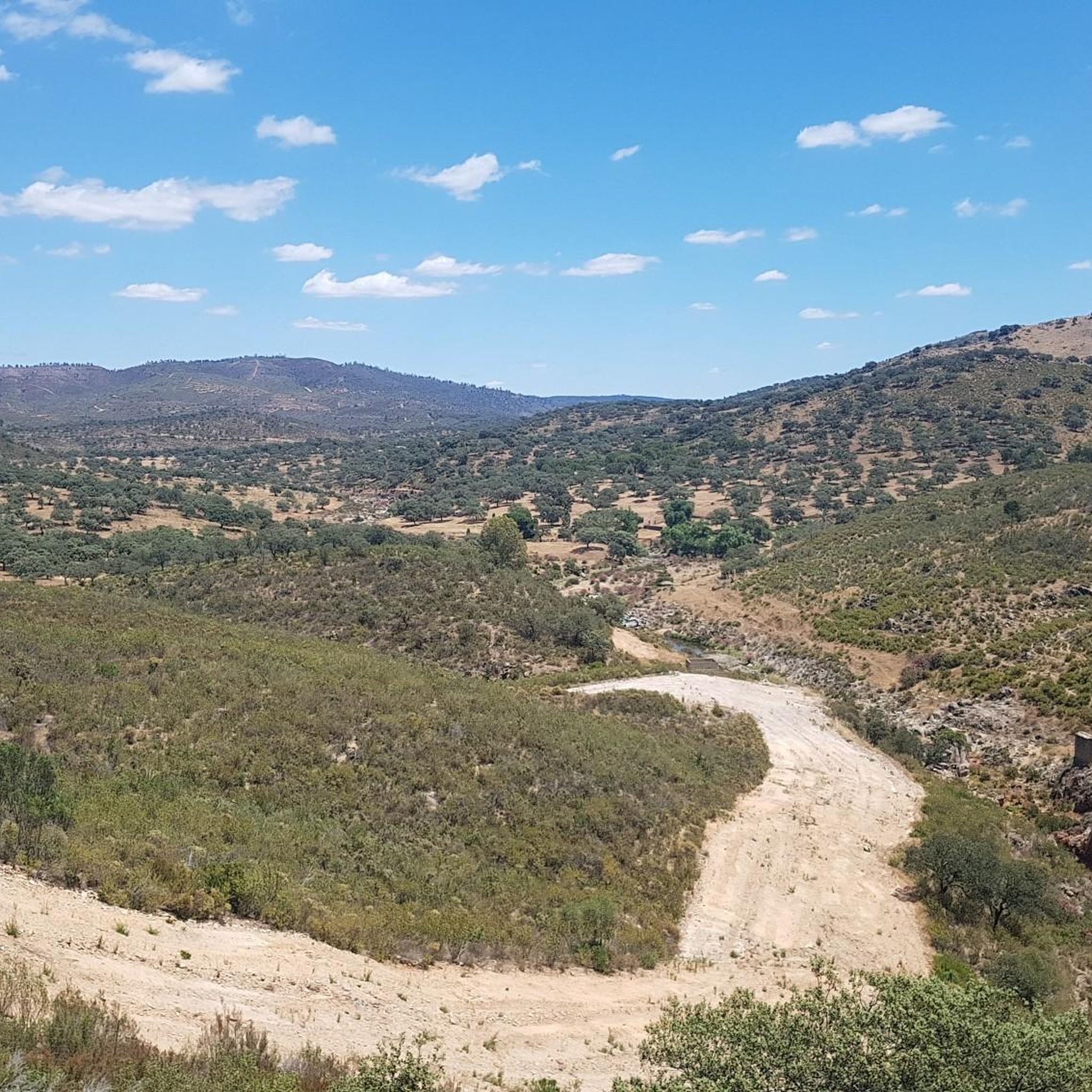
Unfortunately cloudy but the view is magnificent!
0
0

The Camino de Santa Ana to Alájar is a popular hiking route in the Sierra de Aracena and Picos de Aroche, in the province of Huelva. This trail connects the towns of Santa Ana la Real and Alájar, offering a picturesque route through natural landscapes and points of historical interest.😊
3
0
One of the most popular routes to reach Pico La Era begins in the village of Los Marines. This route is relatively easy and has a distance of about 4.3 kilometres, with a maximum gradient of 161 metres. Along the way, hikers can enjoy the typical vegetation of the area, including chestnut trees, holm oaks and strawberry trees. From the top of the peak, you can admire impressive panoramic views, including the geodesic vertex that marks the highest point.
3
0
The great extension of its lakes, the abundance and variety of formations, and the length of its development make this underground complex a complex of great beauty and showiness. This spring of inexhaustible beauty, forged by time on nature itself with the help of elements as simple as water and stone, offers an exceptional set of galleries, halls, lakes and underground courses.
3
0

A beautiful town in the north of the province of Huelva, nestled in the Sierra de Aracena y Picos de Aroche Natural Park. The historic center of Aracena was declared an Asset of Cultural Interest (BIC) in 1991 due to its important heritage. The other great heritage of Aracena is Jabugo ham, a gastronomic marvel of the Sierra de Huelva.
1
0
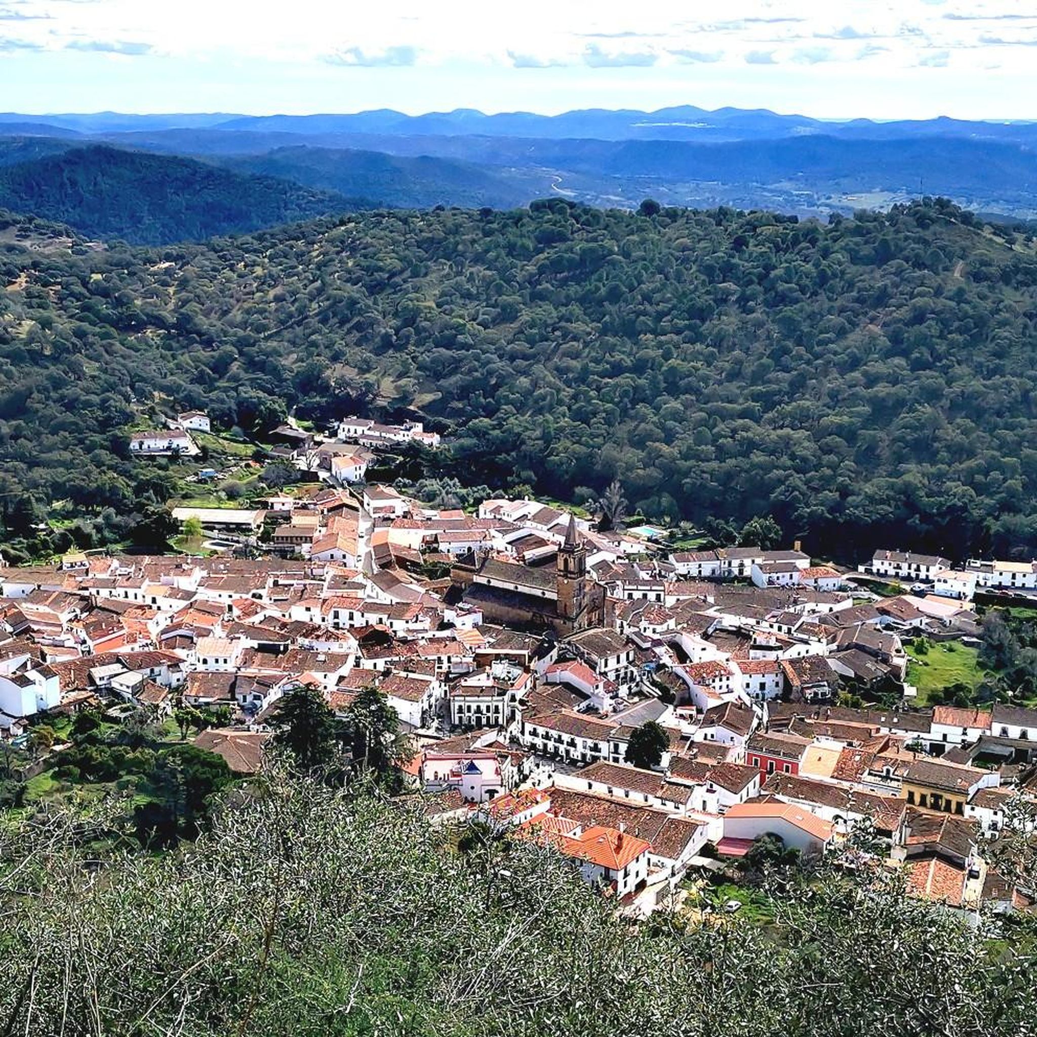
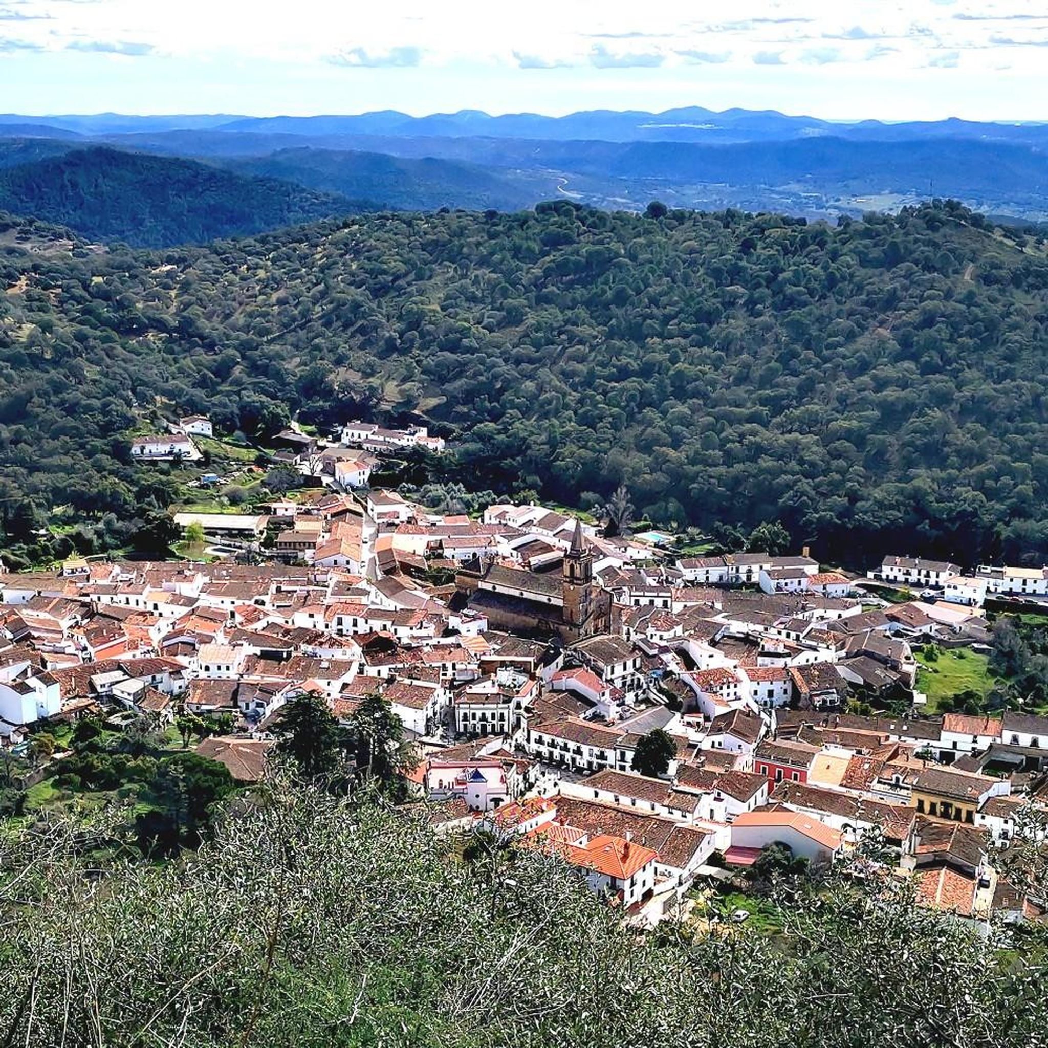
This beautiful town is located between Alájar and Aracena, in the center of the Sierra de Aracena y Picos de Aroche Natural Park, one of the most important protected areas in the Community. Its cobbled streets, the Parish Church of San Juan Bautista, the public laundry and its crowded houses stand out.
0
0
A beautiful path of approximately 2km that begins at the end of Constitución street.
1
0
Frequently Asked Questions
How many running trails are available around Alájar?
There are over 60 running routes around Alájar, offering a wide variety of options for different fitness levels. These include 23 moderate trails and 43 more challenging routes, ensuring there's something for every runner.
What kind of terrain can I expect on the jogging routes near Alájar?
The running routes around Alájar feature a diverse and picturesque terrain. You'll encounter rolling hills, challenging ascents, and extensive forests dominated by cork oaks, holm oaks, and chestnut trees. Many paths also traverse "dehesas," semi-open woodlands with grasslands, providing varied scenery and ecological interest.
Are there routes suitable for beginners or those looking for an easier run?
Yes, while many routes offer a challenge, there are 23 moderate running trails around Alájar. These paths provide a good workout without extreme difficulty, often winding through picturesque villages and shaded woodlands. For example, the Santa Ana to Alájar Trail – Santa Ana la Real loop from Santa Ana la Real is a moderate option.
What is the best time of year for trail running in Alájar?
The extensive forests around Alájar provide ample shade, making it possible to run comfortably even during warmer periods. However, spring and autumn generally offer the most pleasant temperatures for trail running, with lush landscapes and vibrant colors. Early mornings are also recommended during summer months to avoid the midday heat.
Can I find running routes with panoramic viewpoints in Alájar?
Absolutely. The region is known for its stunning vistas. A prominent natural landmark is Peña Arias Montano, which offers breathtaking panoramic views of Alájar, its olive groves, and the surrounding undulating plains. Routes like the Los Marines Village – Alájar Viewpoint loop from Los Marines specifically incorporate viewpoints into the experience.
Are there any natural landmarks or attractions to see along the running paths?
Yes, the trails often pass by significant natural and historical sites. You can encounter the dramatic rocky outcrop of Peña Arias Montano and its historic hermitage, or even a waterfall in the Sierra de Aracena and Picos de Aroche Natural Park. The region's "dehesas" also offer unique ecological interest.
Are there circular running routes available?
Yes, many of the running routes around Alájar are designed as loops, allowing you to experience varied scenery without repetition. Popular circular options include the Pico La Era Loop and the Alájar and Santa Ana la Real Loop, which connects two charming villages.
Are the running trails in Alájar suitable for families?
While many routes involve varied terrain and elevation, there are moderate trails that families might enjoy. It's advisable to check the difficulty and length of specific routes to ensure they match your family's fitness level. The shaded forests can make for a pleasant experience, especially on shorter, less strenuous paths.
Are there dog-friendly running routes in the Alájar area?
As Alájar is located within the Sierra de Aracena and Picos de Aroche Natural Park, dogs are generally welcome on trails but should be kept on a leash to protect local wildlife and livestock. Always ensure your dog is well-behaved and that you carry waste bags to maintain the natural beauty of the park.
Where can I find parking near the running trails in Alájar?
Parking is typically available in and around the villages that serve as starting points for many routes, such as Alájar itself or nearby Linares de la Sierra. Look for designated parking areas within these settlements, which often provide convenient access to the trailheads.
Are there places to eat or drink near the running trails?
Yes, many running routes connect or pass through charming villages like Alájar, Linares de la Sierra, or Santa Ana la Real. These villages offer local cafes, bars, and restaurants where you can refuel and enjoy traditional Andalusian cuisine after your run.
What do other runners enjoy the most about jogging in Alájar?
The komoot community highly rates the running experience in Alájar, with an average score of 5.0 stars. Runners often praise the diverse terrain, the extensive and shaded forests, and the picturesque village-to-village connections that offer a mix of cultural sights and natural landscapes.
Most popular attractions around Alájar

Get inspired with the komoot mobile app


Explore more
Browse the best Running Trails & Routes in other regions.
