The best road cycling routes around Santa María La Real De Nieva
5.0
(2)
329
riders
34
rides
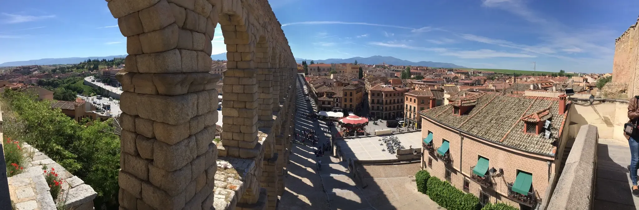
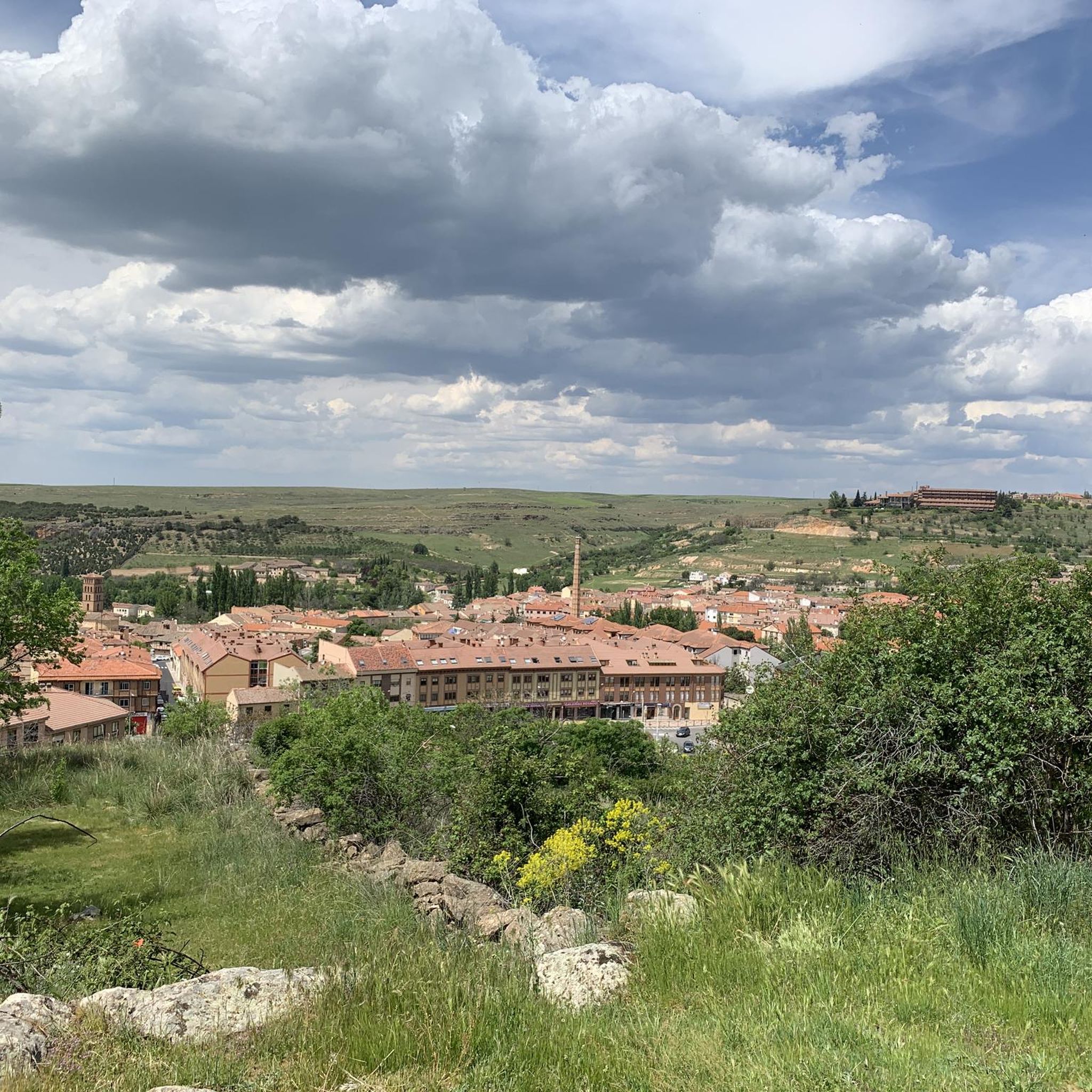
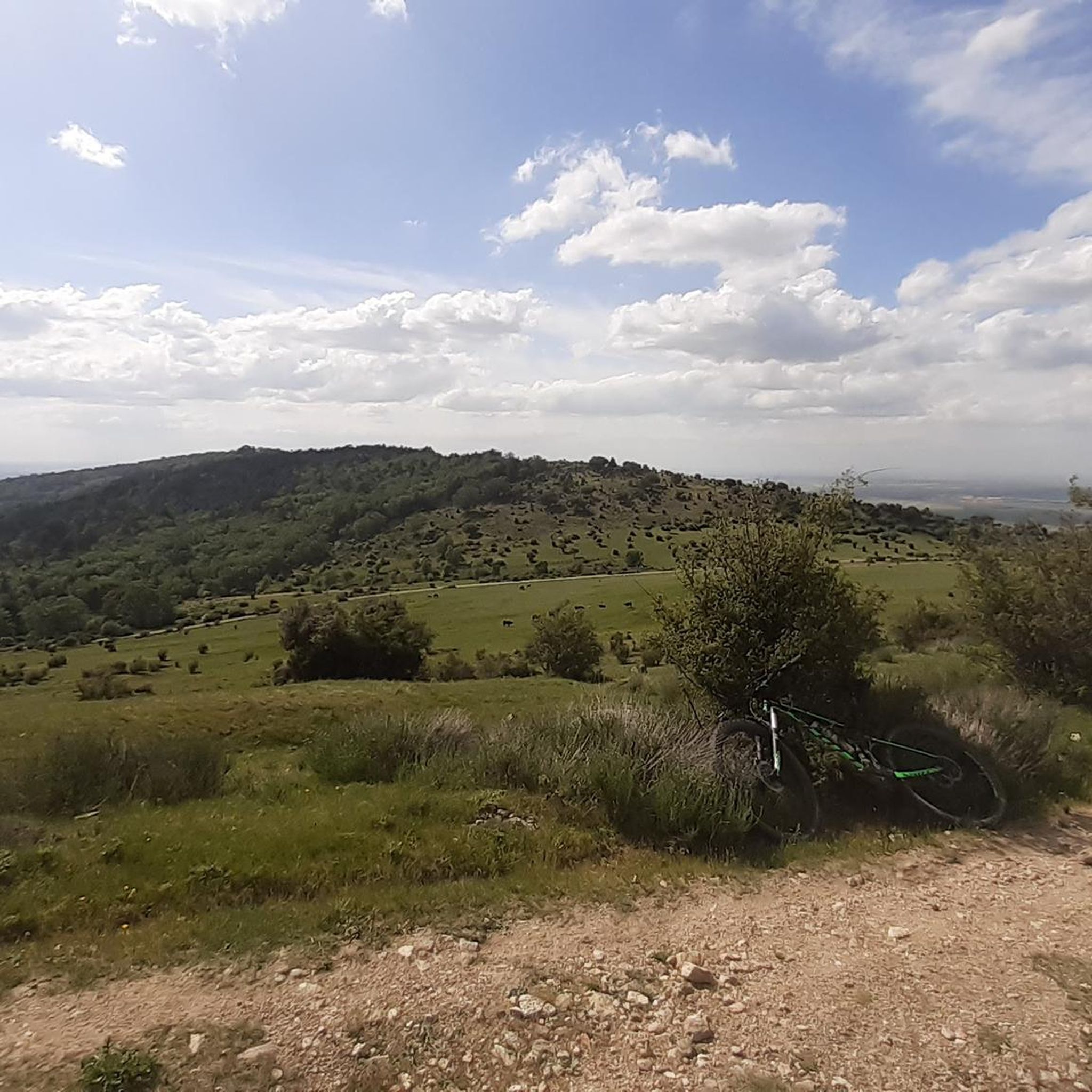
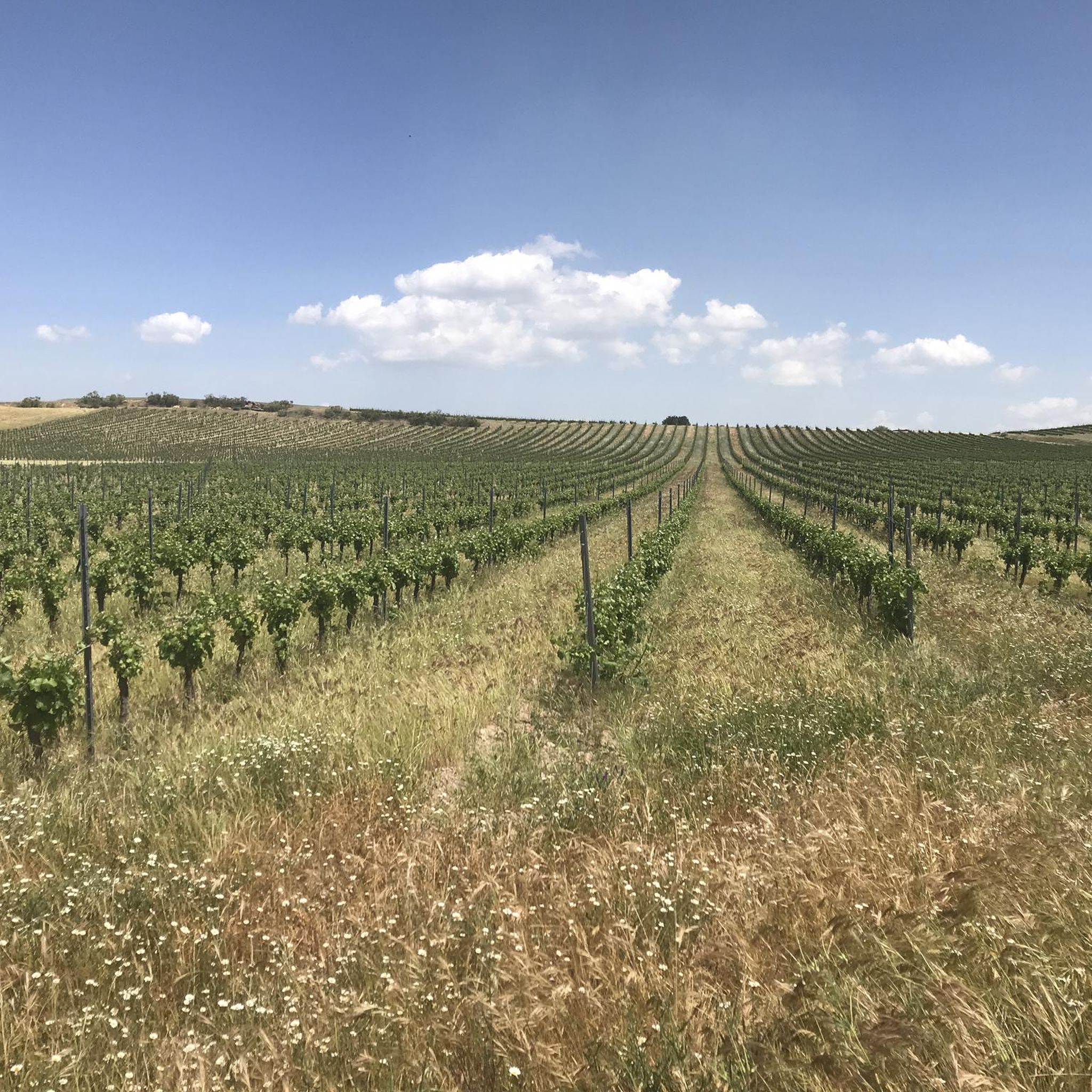
Road cycling routes around Santa María La Real De Nieva are characterized by a generally flat environment with gentle undulations, situated at an average elevation of around 907 meters above sea level. The landscape features varied terrain, including riparian zones along the Moros and Voltoya rivers, and small forests of holm oaks and pines. This topography provides a range of routes suitable for different cycling preferences, from leisurely rides to moderate challenges.
Best road cycling routes around Santa María La…
Last updated: October 28, 2026
13
riders
36.8km
01:40
310m
310m
Moderate road ride. Good fitness required. Mostly well-paved surfaces and easy to ride.
11
riders
39.1km
01:39
300m
300m
Easy road ride. Mostly well-paved surfaces and easy to ride.

11
riders
Moderate road ride. Good fitness required. Mostly well-paved surfaces and easy to ride.
10
riders
56.3km
02:26
500m
500m
Moderate road ride. Good fitness required. Mostly well-paved surfaces and easy to ride.
6
riders
35.3km
01:26
180m
180m
Easy road ride. Mostly well-paved surfaces and easy to ride.
Get access to more routes and recommendations from other explorers.
Already have an account?
Our route recommendations are based on thousands of hikes, rides, and runs completed by other people on komoot.
Start today with a free account
Your next adventure awaits.
Popular around Santa María La Real De Nieva

Other adventures around Santa María La Real De Nieva

Tips from the Community

The bridge located in Moñibas (Segovia) is a small stone bridge, very characteristic of traditional Castilian rural architecture.
4
0

Old abandoned station
0
0
Nava de la Asunción is a Spanish municipality and town in the province of Segovia. Originally known as Nava de Coca, it belonged to the village and land community. Later, in 1773, King Carlos III granted it the title of Villa and added “La Asunción” to its name, in honor of the Virgin, patron saint of the town. I hope you found this brief description interesting! 😊
2
0

Population located north of the capital of the province, Segovia. It is a nucleus located between the two rivers, the Río Edesma and the Río Voltoya.
1
0
On its arrival in the town, it is enclosed in large ridges that fall in rounded shapes where the nucleus is located in its lower part. The church, beautiful, there is usually a nest of storks that give it a special touch.
1
0
Small town located north of the city of Ávila and that offers views of the plains of Avila in the area. At the beginning of the town is the Iglesia de Nuestra Señora de la Asunció, a little away from the center.
0
0
Huge straights that are there before reaching Muñopedro and that are surrounded by agricultural fields. Watch if the wind blows!
0
1
Small bridge that is close to the town of Moñibas and that crosses the Río Voltoya, on the border between Segovia and Álava.
0
0
Frequently Asked Questions
How many road cycling routes are available around Santa María La Real De Nieva?
There are over 20 road cycling routes available around Santa María La Real De Nieva, catering to various skill levels. These include 4 easy routes, 18 moderate routes, and 2 more challenging options.
What kind of terrain can I expect on road cycling routes in Santa María La Real De Nieva?
The region offers a generally flat environment with gentle undulations, at an average elevation of around 907 meters above sea level. You'll find diverse scenery, including riparian zones along the Moros and Voltoya rivers, and small forests of holm oaks and pines, providing engaging rides without being overly strenuous.
What is the best time of year for road cycling in Santa María La Real De Nieva?
Santa María La Real De Nieva experiences a continental climate. The most favorable times for road cycling are during the spring and autumn months. Summer mornings or evenings can also be pleasant when temperatures are milder.
Are there circular road cycling routes available in the area?
Yes, many routes in the area are circular. For example, the Muñopedro, Maello y Hernansancho — circular desde Sanchidrián is a popular moderate circular route covering over 64 km.
What historical or natural landmarks can I see along road cycling routes?
The region is rich in historical and natural points of interest. You might encounter sites like the 15th-century Monastery of Our Lady of Soterraña, a Romanesque chapel in Villoslada, or a Gothic church in Paradinas. Natural features include the distinctive rock formations of the "Botón de Balisa" and rupestrian engravings on gneiss outcrops in areas like Domingo García.
Are there any specific attractions I can visit near the cycling routes?
Yes, you can explore several attractions. Consider visiting the Old Hontanares de Eresma Station, the Ortigosa del Pestaño — Abandoned Railway Station, or the Old Yanguas de Eresma Station. The Section of the Eresma Valley Greenway also offers a pleasant experience.
What do other road cyclists enjoy most about road cycling in Santa María La Real De Nieva?
The routes in Santa María La Real De Nieva are highly rated by the komoot community, with an average score of 5.0 stars. Cyclists often praise the varied and manageable terrain, the scenic riverine paths, and the small forests that provide diverse and engaging rides.
Are there any long-distance road cycling routes in the area?
For those seeking longer rides, routes like Alcázar de Segovia y Ermita de la Octava — circular desde Carbonero el Mayor offer extensive views over 91 km. Another option is Fuentepelayo, Sanchonuño y San Martín y Mudrián — circular desde Carbonero el Mayor, which covers over 88 km through agricultural fields and villages.
Are there any easy road cycling routes suitable for beginners?
Yes, there are 4 easy road cycling routes available. These routes are designed to be less strenuous, making them ideal for beginners or those looking for a relaxed ride through the gentle landscape.
Can I find routes that pass through forested areas?
Absolutely. The region features small forests of holm oaks and pines. Pine forests are notably found near the Moros River and in areas like Paradinas, Aragoneses, Tabladillo, and Pinilla-Ambroz, while significant holm oak groves are located in Balisa and Villoslada, offering shaded paths and diverse scenery.
Are there any moderate road cycling routes for intermediate cyclists?
The majority of routes, 18 in total, are classified as moderate. An example is the Bridge – Muñopedro Straights loop from Bercial, which is a 35 km route with manageable elevation changes, perfect for intermediate riders.
What are the elevation changes like on the routes?
While the region is generally flat, routes do feature gentle undulations. For instance, the Bridge – Muñopedro Straights loop from Santa María la Real de Nieva, a 64 km route, involves around 570 meters of elevation gain, providing enough variety to keep rides engaging without being overly steep.
Most popular routes around Santa María La Real De Nieva
Most popular attractions around Santa María La Real De Nieva

Get inspired with the komoot mobile app


Explore more
Browse the best Road cycling routes in other regions.
