The best walks and hikes around Armuña
4.0
(1)
36
hikers
13
hikes
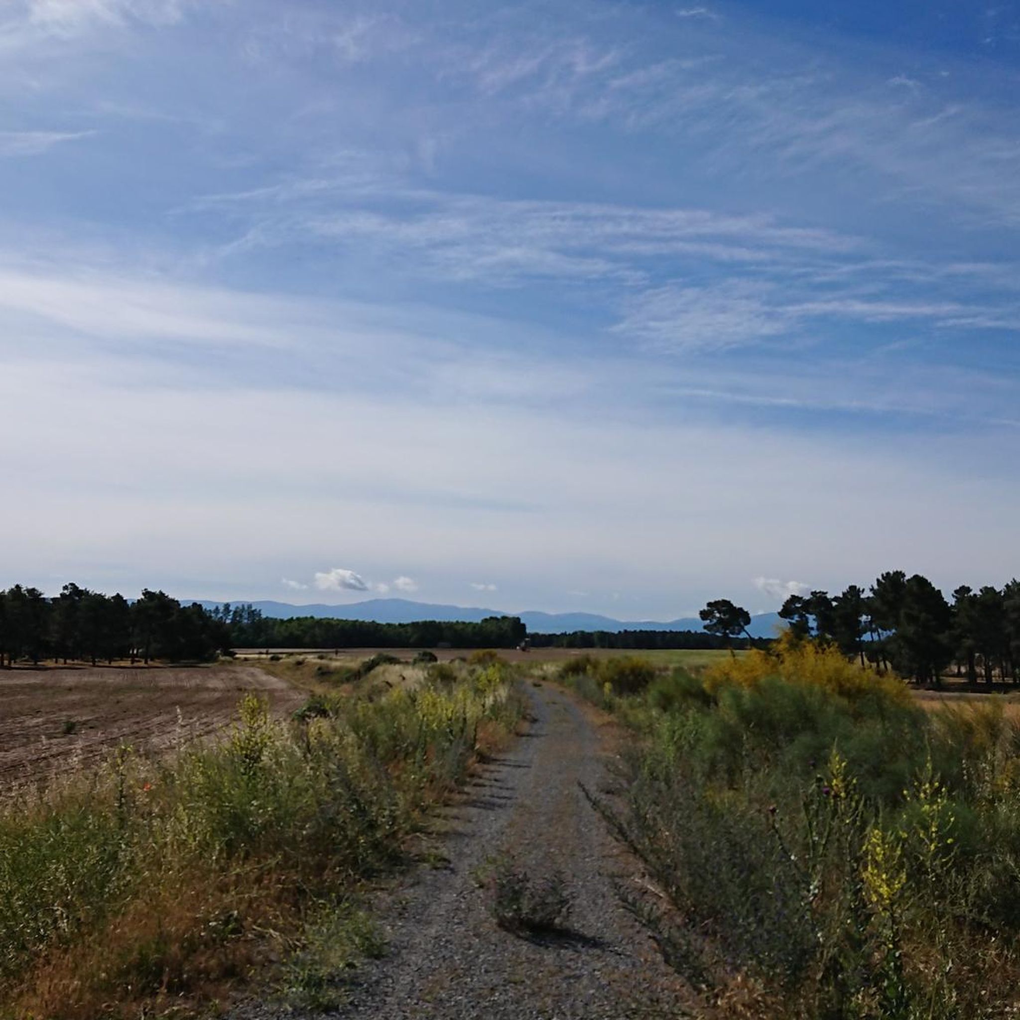
Hiking around Armuña offers routes through a landscape characterized by gentle terrain, river valleys, and rural areas. The region features greenways, such as the Vía Verde del Eresma, which often follow former railway lines or rivers, providing accessible paths. Elevations are generally low, indicating a predominantly flat or gently rolling topography suitable for various hiking abilities. This makes the Armuña region location ideal for those seeking less strenuous outdoor activities.
Best hiking trails around Armuña
- The most popular hiking route…
Last updated: July 1, 2026
5
hikers
7.80km
01:59
20m
20m
Hike the easy 4.8-mile (7.8 km) Vía Verde del Eresma Trail, exploring diverse landscapes and old railway history near Hontanares de Eresma.
1
hikers
16.6km
04:19
110m
110m
Hike the Vado del Bustar by the Río Pirón, a 10.3-mile circular route from Carbonero el Mayor with varied terrain and progressive difficulty

Sign up for free
4.0
(1)
2
hikers
15.5km
04:13
220m
220m
Moderate hike. Good fitness required. Easily-accessible paths. Suitable for all skill levels.
3
hikers
8.08km
02:04
30m
30m
Moderate hike. Good fitness required. Easily-accessible paths. Suitable for all skill levels.
2
hikers
5.91km
01:33
50m
50m
Easy hike. Great for any fitness level. Easily-accessible paths. Suitable for all skill levels.
Get access to more routes and recommendations from other explorers.
Sign up for free
Already have an account?
Our route recommendations are based on thousands of hikes, rides, and runs completed by other people on komoot.
Start today with a free account
Your next adventure awaits.
Login or Signup


Tips from the Community

Carbonero el Mayor is a municipality and Spanish town in the province of Segovia, in the southern part of the autonomous community of Castilla y León. It appears cited in 1247 under the name Carbonero de Liedos; In 1587 it was mentioned as Carbonero la Mayor and in the 19th century it already appeared with its current name.
4
0
Hontanares de Eresma is a charming municipality and town in the province of Segovia, within the autonomous community of Castilla y León. Hontanares de Eresma is mentioned for the first time in 1247 as “Fontanares” and until the 19th century it was simply called “Hontanares”.
2
0
The Hermitage of Our Lady of Las Vegas, located in Los Huertos, Segovia, is a building with a rich history. The hermitage can be dated to the 11th century, its plan is basilica-type, with three naves divided by pillars and attached columns. The hermitage is located in a picturesque environment, near the banks of the Eresma River and next to the Camino de Santiago.
2
0

Carbonero el Mayor is a town located north of the city of Segovia, in the middle of the plain that goes from the Central System and the great plains of Valladolid.
1
0
Population center that is divided into two scattered areas, one called Hontanares de Eresma and the other the Estación. This second one was well known since it is where the train station of the center was located and that currently passing through the greenway can still be seen.
1
0
Small hermitage that is located near the Río Eresma and that is surrounded by agricultural fields in the middle of towns on the Segovian plain.
1
0

Originally it was called Fontanares due to the abundance of water in its surroundings, probably related to its proximity to the river Eresma from which it receives its surname. Today it is a mostly residential municipality but it retains a peasant spirit due to its location in the Segovian countryside region and its still active agricultural activity.
2
0
With care we can cross the Pirón River through this ford.
10
0
Frequently Asked Questions
How many hiking trails are available in Armuña?
Armuña offers a selection of hiking routes, with over 9 trails documented on komoot. These range from easy strolls to more moderate loops, providing options for various preferences.
What kind of terrain can I expect on hikes in Armuña?
The hiking trails in Armuña are characterized by gentle terrain, river valleys, and open rural areas. Many routes follow greenways, which are often former railway lines or river paths, resulting in predominantly flat or gently rolling topography. This makes the region suitable for less strenuous outdoor activities.
Are there many easy hiking options in Armuña?
Yes, Armuña is well-suited for easy hikes. Out of the available trails, 7 are classified as easy. These routes often feature minimal elevation gain and accessible paths, such as the Vía Verde del Eresma Trail, which follows a greenway.
What do other hikers say about the trails in Armuña?
The trails in Armuña are highly rated by the komoot community, with an average score of 4.0 stars from over 1 review. Hikers often appreciate the accessible nature of the paths and the peaceful rural landscapes.
Are there any circular hiking routes in Armuña?
Yes, there are several circular routes available. For example, the Carbonero el Mayor and Río Pirón Loop is a moderate 10.3-mile (16.6 km) path that explores the area around Carbonero el Mayor. Another option is the Cueva de la Vaquera (sur) – Casa de Condesa loop from Cabañas de Polendos, which offers a 9.6-mile (15.5 km) journey through varied rural landscapes.
What are some interesting places to see along the hiking trails in Armuña?
While hiking in Armuña, you can discover several points of interest, particularly along the greenways. These include historical sites like the Old Hontanares de Eresma Station and the Ortigosa del Pestaño — Abandoned Railway Station. You might also encounter the Hermitage of the Virgin of the Well, offering a glimpse into local heritage.
Are the trails in Armuña suitable for families with children?
Given the predominantly flat and gentle terrain, many trails in Armuña are suitable for families. The greenways, in particular, offer accessible and safe paths for children. Routes classified as 'easy' are generally a good choice for family outings.
Can I bring my dog on the hiking trails in Armuña?
Generally, dogs are welcome on most public hiking trails in rural areas like Armuña. However, it's always advisable to keep your dog on a leash, especially when passing through agricultural land or near livestock, and to clean up after them. Check local signage for any specific restrictions.
What is the best time of year to go hiking in Armuña?
The best time for hiking in Armuña typically depends on personal preference. Spring and autumn offer pleasant temperatures and vibrant landscapes. Summer can be warm, making early morning or late afternoon hikes more comfortable. Winter hikes are also possible, especially on the flatter greenways, though conditions may vary.
Is parking available near the trailheads in Armuña?
While specific parking information for every trailhead isn't detailed, most rural hiking areas in Armuña, especially those near villages or popular greenway access points, typically offer roadside parking or small designated areas. It's recommended to check maps or local information for specific starting points.
Are there any longer, more challenging hikes for experienced hikers?
While Armuña is known for its gentle terrain, there are a couple of moderate routes for those seeking a bit more distance. The Hiking loop from Hontanares de Eresma, for instance, is a moderate 7.8-mile (12.6 km) trail. These routes offer longer distances and slightly more varied landscapes compared to the easier greenways.
What kind of natural features can I expect to see while hiking?
Hiking in Armuña will expose you to river paths, open rural landscapes, and the gentle topography of the region. The Eresma River valley is a prominent feature, and you'll experience the characteristic greenways that often follow these natural corridors, providing a serene environment for walking.
Most popular attractions around Armuña

Get inspired with the komoot mobile app


Explore more
Browse the best Hikes in other regions.
