The best running trails around Berzocana
70
runners
8
runs
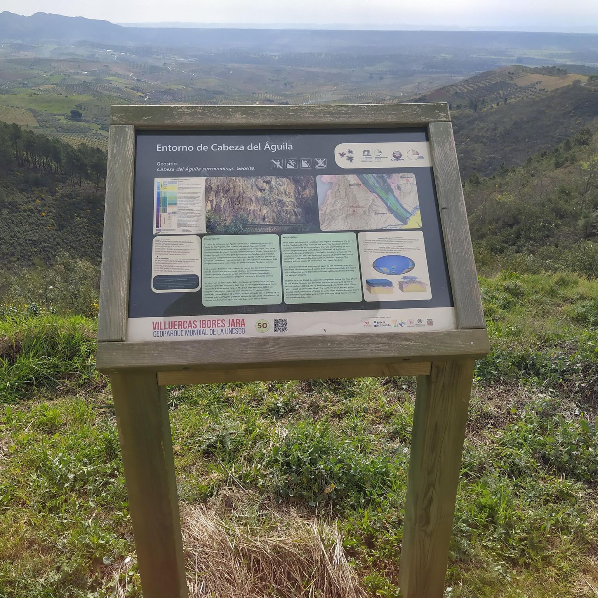
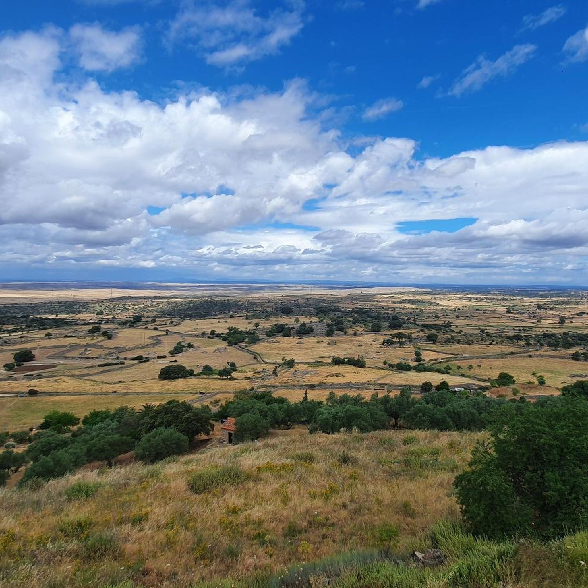
Jogging routes around Berzocana traverse a mountainous terrain within the UNESCO Global Geopark Villuercas-Ibores-Jara, characterized by its "Appalachian relief" of mountain ranges and valleys. The landscape features extensive woodlands, including ancient oak and chestnut forests, alongside steep quartzite crests and crystalline streams. This diverse environment offers varied elevations and natural beauty for running.
Best jogging routes in Berzocana
- The most popular jogging route is Galería de captación de agua loop from Guadalupe, a 16.6 miles (26.8 km) trail that…
Last updated: July 10, 2026
16
runners
26.7km
03:51
1,060m
1,060m
Hard run. Very good fitness required. Sure-footedness, sturdy shoes and alpine experience required.
10
runners
10.9km
01:12
240m
240m
Moderate run. Good fitness required. Mostly paved surfaces. Suitable for all skill levels.

Sign up for free
13
runners
Hard run. Very good fitness required. Mostly paved surfaces. Suitable for all skill levels.
12
runners
16.2km
01:58
210m
210m
Hard run. Very good fitness required. Sure-footedness, sturdy shoes and alpine experience required.
5
runners
8.38km
01:00
130m
130m
Moderate run. Good fitness required. Mostly paved surfaces. Suitable for all skill levels.
Get access to more routes and recommendations from other explorers.
Sign up for free
Already have an account?
Our route recommendations are based on thousands of hikes, rides, and runs completed by other people on komoot.
Start today with a free account
Your next adventure awaits.
Login or Signup
Tips from the Community

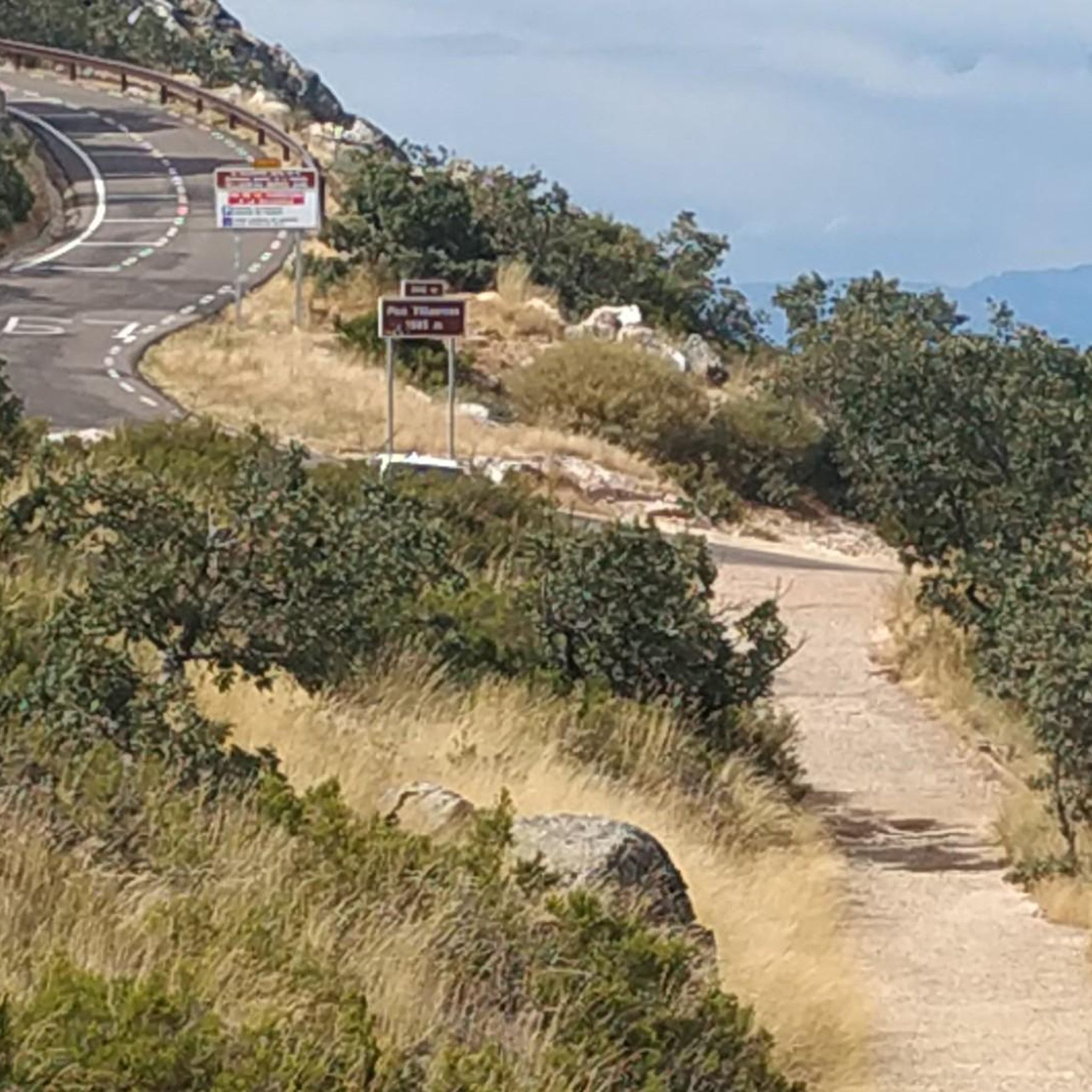
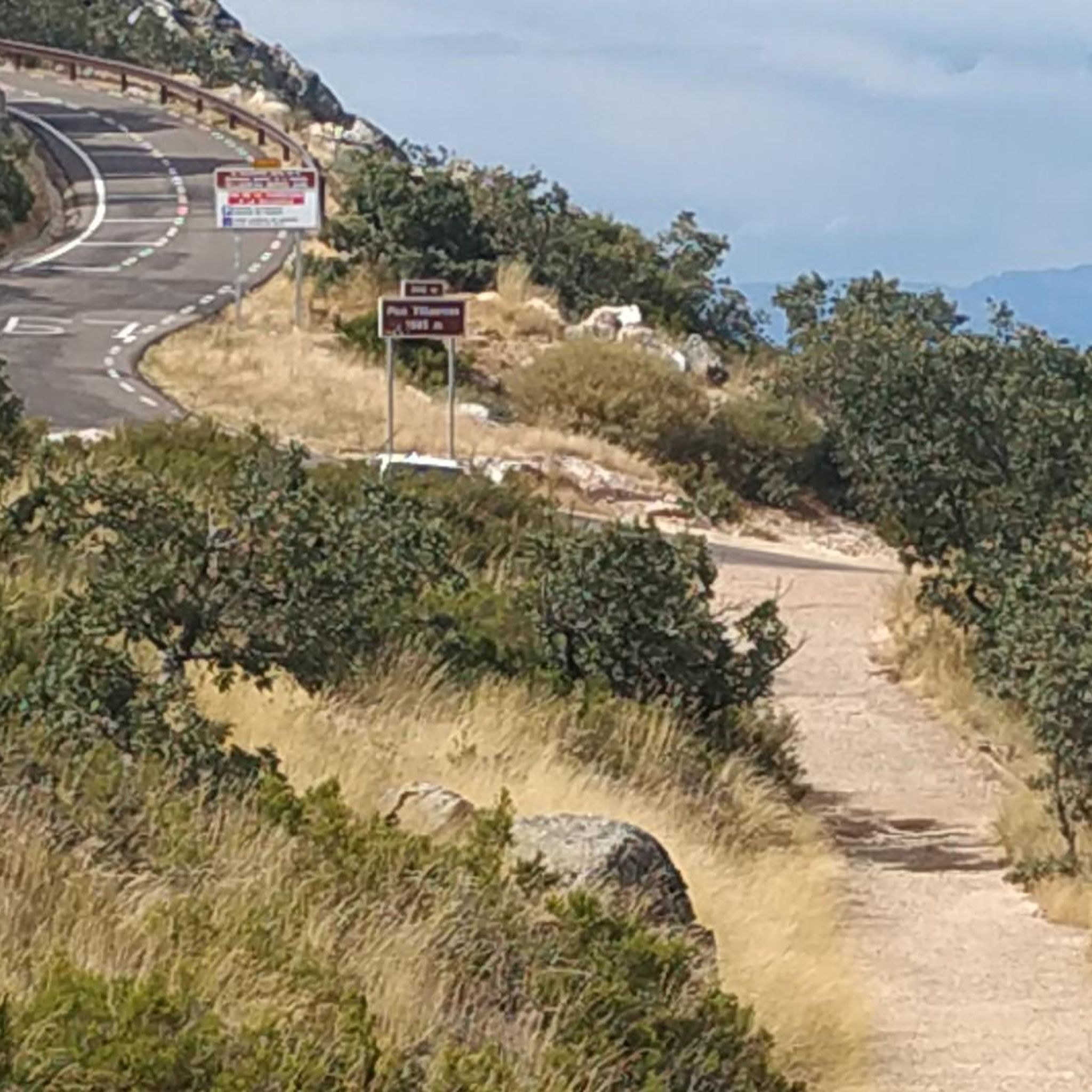
El Alto del Humilladero and Pico Villuercas, near Guadalupe (Cáceres), form one of the most spectacular mountain routes in Extremadura, within the Villuercas‑Ibores‑Jara UNESCO Geopark. It is the highest summit in Extremadura accessible by road.
2
0

In the multitude of Guadeloupe, there is little more information to be found than what is already here on the internet.
12
1
Gives the feeling of being on a film set or somewhere in Mexico. Perhaps not so strange, because the Virgin of Guadalupe is the patroness of Mexico. In the hills, the virgin is said to have been found seven centuries ago. Strictly forbidden to take photos inside the walls, monks walk with the group...
14
1
Arco del Tinte, the Verfpoort, was part of the network of gates that separated the upper and lower town at various points. This gave the population control over security and trade and gave the city the appearance of a medieval fortress.
12
2
The New Church—also known as the Church of the Holy Trinity—is one of the most outstanding Baroque buildings in the monumental complex of Guadalupe (Extremadura). It represents one of the last major projects undertaken around the Monastery of Guadalupe. The New Church is notable for its monumental Baroque façade, characteristic of the Churrigueresque style. It features rich ornamentation, columns, and a large central relief.
19
0
The Royal Monastery of Santa María de Guadalupe is a 14th-century monastery located in the Spanish town of Guadalupe, in the province of Cáceres. It was declared a UNESCO World Heritage Site in 1993. Inside, you can appreciate Gothic, Mudéjar, Renaissance, Baroque, and Neoclassical architectural styles. A place with a rich history and breathtaking architectural beauty! 🌟🏰
15
0
It is located between the upper and lower parts of Puebla, within the network of the historic center, near other archways and the medieval quarter. Its name comes from its original function: providing access to the old dye works, belonging to one of the oldest guilds in Puebla. It formed part of the defensive system and controlled trade between the main neighborhoods, offering security and projecting the image of a medieval fortress.
9
0

Alto del Humilladero is a short but intense mountain pass, where the road climbs steeply through curves that test your legs. From its summit, you have a wide panoramic view that I'm sure you'll enjoy.
0
1
Frequently Asked Questions
How many running routes are available in Berzocana?
There are 8 running routes around Berzocana listed on komoot, offering a variety of experiences for different fitness levels. These include 3 moderate and 5 difficult trails.
What kind of terrain can I expect on running trails around Berzocana?
The running trails in Berzocana traverse a mountainous terrain within the UNESCO Global Geopark Villuercas-Ibores-Jara. You can expect varied landscapes, including extensive woodlands with ancient oak and chestnut forests, steep quartzite crests, and crystalline streams. The region is known for its unique 'Appalachian relief' with mountain ranges and valleys.
Are there any circular running routes in Berzocana?
Yes, many of the running routes in Berzocana are designed as loops. For example, the Galería de captación de agua loop from Guadalupe is a challenging 16.6-mile circular route, and the Running loop from Guadalupe offers a moderate 6.8-mile option.
Are there any easy or moderate running routes for beginners or those looking for a less strenuous run?
While many routes are challenging, there are moderate options available. The Running loop from Guadalupe is a moderate 6.8-mile path, and the Running loop from Logrosán is another moderate 5.2-mile option, both offering a more accessible running experience through natural surroundings.
What natural attractions or landmarks can I see while running in Berzocana?
The region is rich in natural beauty. You might encounter the Cancho del Fresno Reservoir, which is featured on the Cancho del Fresno Reservoir loop from Cañamero. Other notable features include quartzite cliffs, diverse forests, and crystalline streams. The Pico Villuercas Summit is also accessible via routes like the Humilladero Pass – Pico Villuercas Summit loop from Ermita del Humilladero.
Can I bring my dog on the running trails in Berzocana?
Generally, many natural trails in Spain are dog-friendly, especially if your dog is well-behaved and kept on a leash. However, it's always advisable to check local regulations for specific trails or protected areas within the Geopark to ensure there are no restrictions, especially concerning wildlife protection.
Are there any running routes that pass by water features?
Yes, the Cancho del Fresno Reservoir loop from Cañamero leads through diverse landscapes including the reservoir area. Additionally, the region is characterized by several crystalline streams and the Guadalupejo river, which the historical Ruta de los Molinos follows, offering scenic views of water features.
What kind of wildlife might I spot while running in Berzocana?
The countryside around Berzocana is known for its rich biodiversity. You might encounter deer and wild boars, and it's an excellent area for birdwatching. Keep an eye out for impressive raptors such as griffon vultures, Egyptian vultures, and Bonelli's eagles soaring above the quartzite cliffs.
Are there any routes with historical significance or points of interest?
Yes, the region has a rich history. The Isabel la Católica Trail offers a blend of nature and history. Some routes also lead to sites with prehistoric cave paintings, such as those in the Canchos de Las Sábanas. The Royal Monastery of Santa María de Guadalupe is a significant historical landmark nearby, though not directly on a running route, it's a prominent attraction in the wider area.
When is the best time of year for running in Berzocana?
The diverse forests and varied elevations make Berzocana enjoyable for running across seasons. Spring and autumn generally offer milder temperatures, which are ideal for outdoor activities. Spring also brings blooming flora, while autumn showcases vibrant fall colors. Summers can be hot, so early morning or late evening runs are recommended, and winters are typically mild but can be damp.
Is parking available near the trailheads for running routes?
While specific parking details for every trailhead are not listed, Berzocana is a rural area, and parking is generally available in or near the villages that serve as starting points for many routes. It's advisable to check specific route descriptions or local information for the most convenient parking spots.
What do other runners enjoy most about jogging in Berzocana?
The running routes in Berzocana are highly rated by the komoot community, with over 70 runners having explored the area. Users often praise the region's stunning natural beauty, the varied and challenging terrain, and the opportunity to run through diverse ecosystems like ancient oak and chestnut forests.
Most popular attractions around Berzocana

Get inspired with the komoot mobile app


Explore more
Browse the best Running Trails & Routes in other regions.
