The best mountain hikes around Calvià
4.5
(13)
71
hikers
9
hikes
Mountaineering around Calvià offers diverse terrain within Mallorca's southwest coast, characterized by the dramatic Serra de Tramuntana mountain range. This region features prominent peaks like Puig de Galatzó, reaching over 1000 meters, alongside extensive public estates such as Finca Pública de Galatzó. The landscape transitions from high mountain trails with significant elevation changes to coastal paths, encompassing lush forests of oak and Mediterranean pine, and ancient dry-stone constructions.
Best mountaineering routes around Calvià
- The most popular mountaineering route is Puig…
Last updated: August 20, 2026
5.0
(4)
38
hikers
9.08km
03:07
350m
350m
Hard mountaineering route. Good fitness required. Sure-footedness, sturdy shoes and alpine experience required.
4.8
(4)
17
hikers
16.0km
05:01
600m
600m
Hard mountaineering route. Very good fitness required. Sure-footedness, sturdy shoes and alpine experience required.

Sign up for free
4.5
(2)
7
hikers
Moderate mountaineering route. Good fitness required. Mostly accessible paths. Sure-footedness required.
3.0
(1)
3
hikers
15.5km
05:03
540m
540m
Hard mountaineering route. Very good fitness required. Sure-footedness, sturdy shoes and alpine experience required.
3
hikers
Moderate mountaineering route. Good fitness required. Mostly accessible paths. Sure-footedness required.
Get access to more routes and recommendations from other explorers.
Sign up for free
Already have an account?
Our route recommendations are based on thousands of hikes, rides, and runs completed by other people on komoot.
Start today with a free account
Your next adventure awaits.
Login or Signup
Popular around Calvià
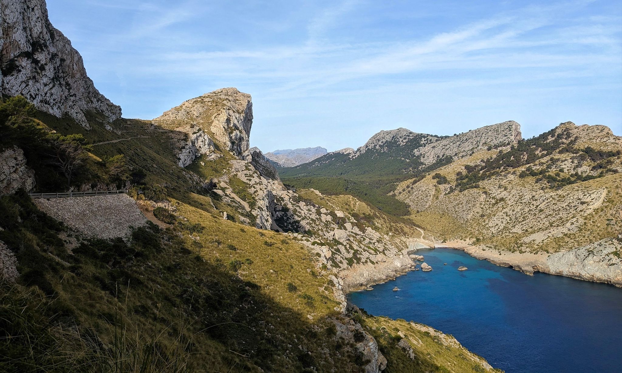
The island of calm – a week in Majorca
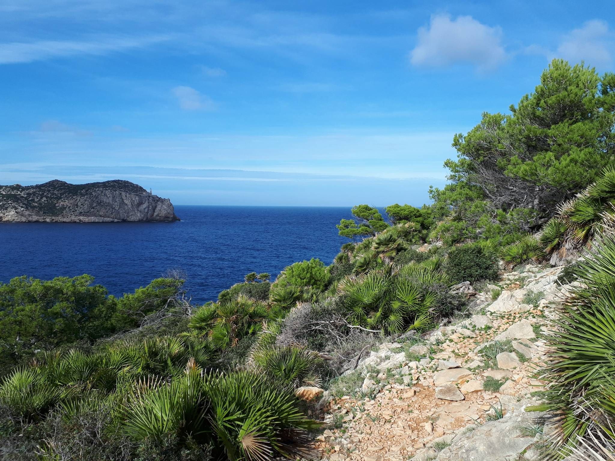
Shredding trails on the island of Mallorca
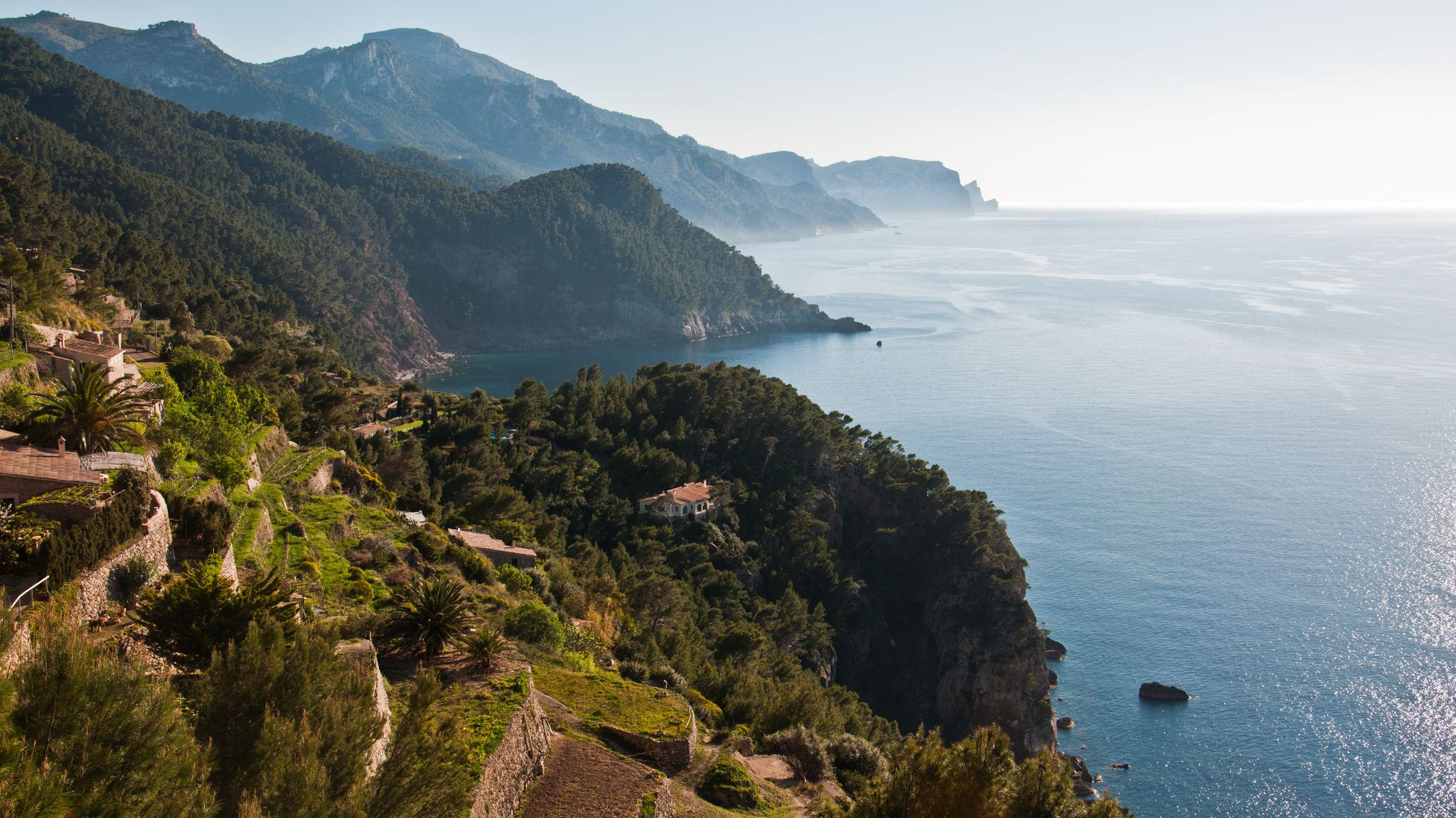
Mallorca – one island. Seven hikes.
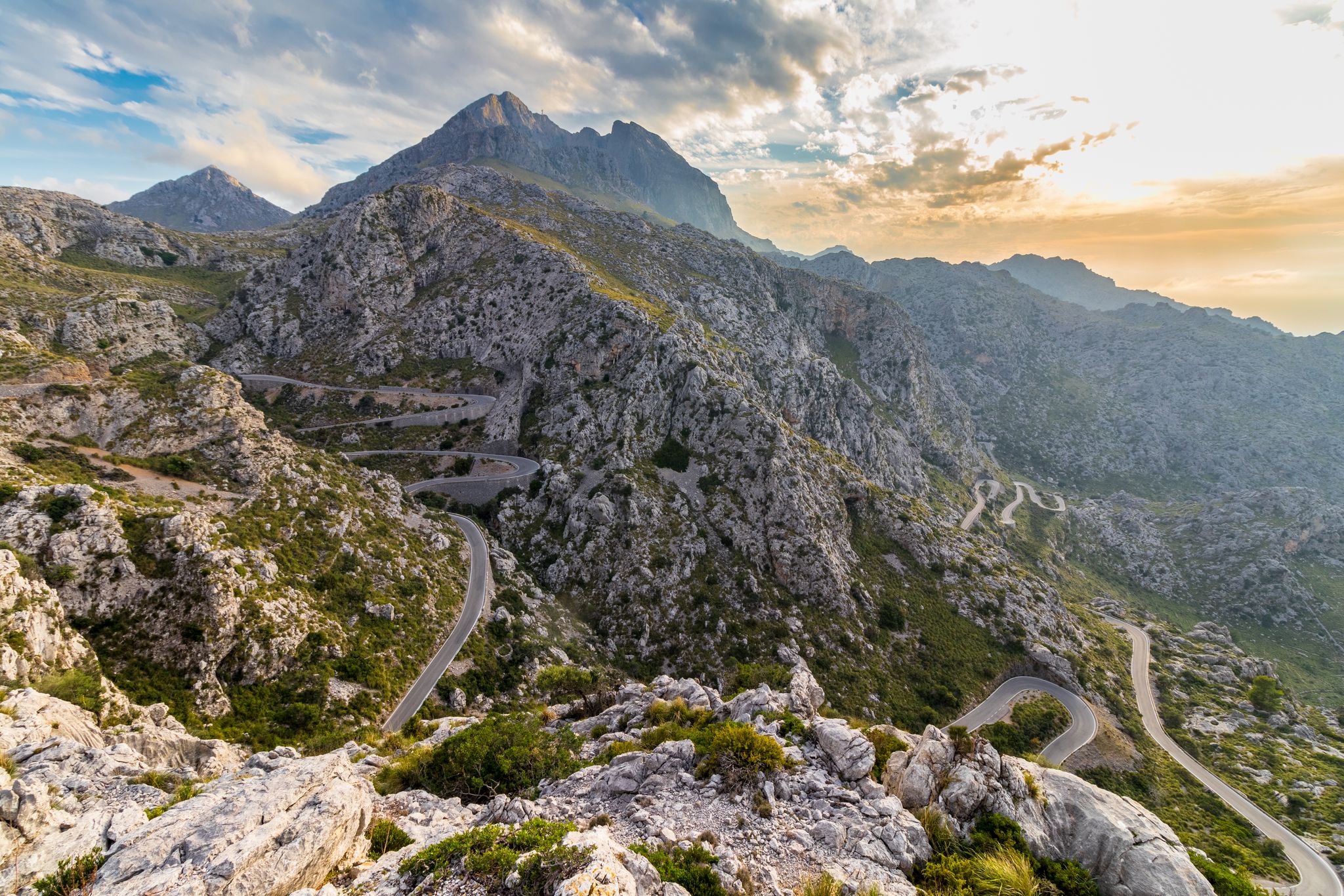
Mallorca's most beautiful passes
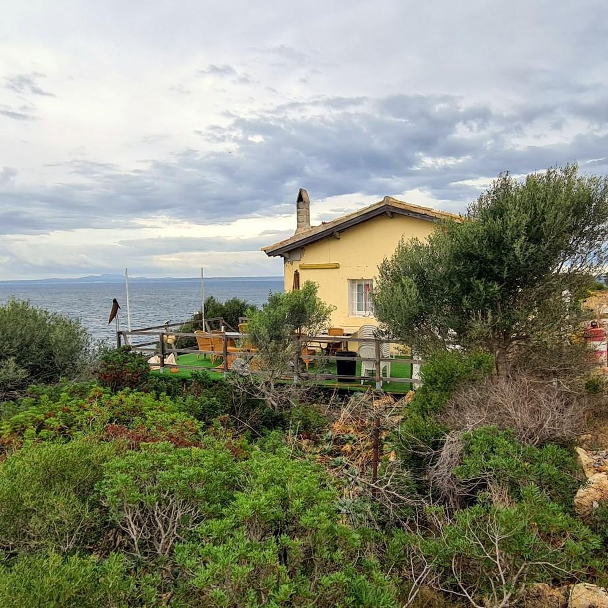
Road Cycling Routes around Calvià
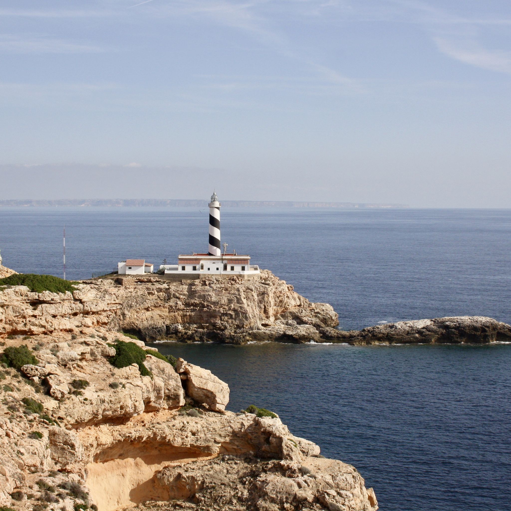
Hiking around Calvià
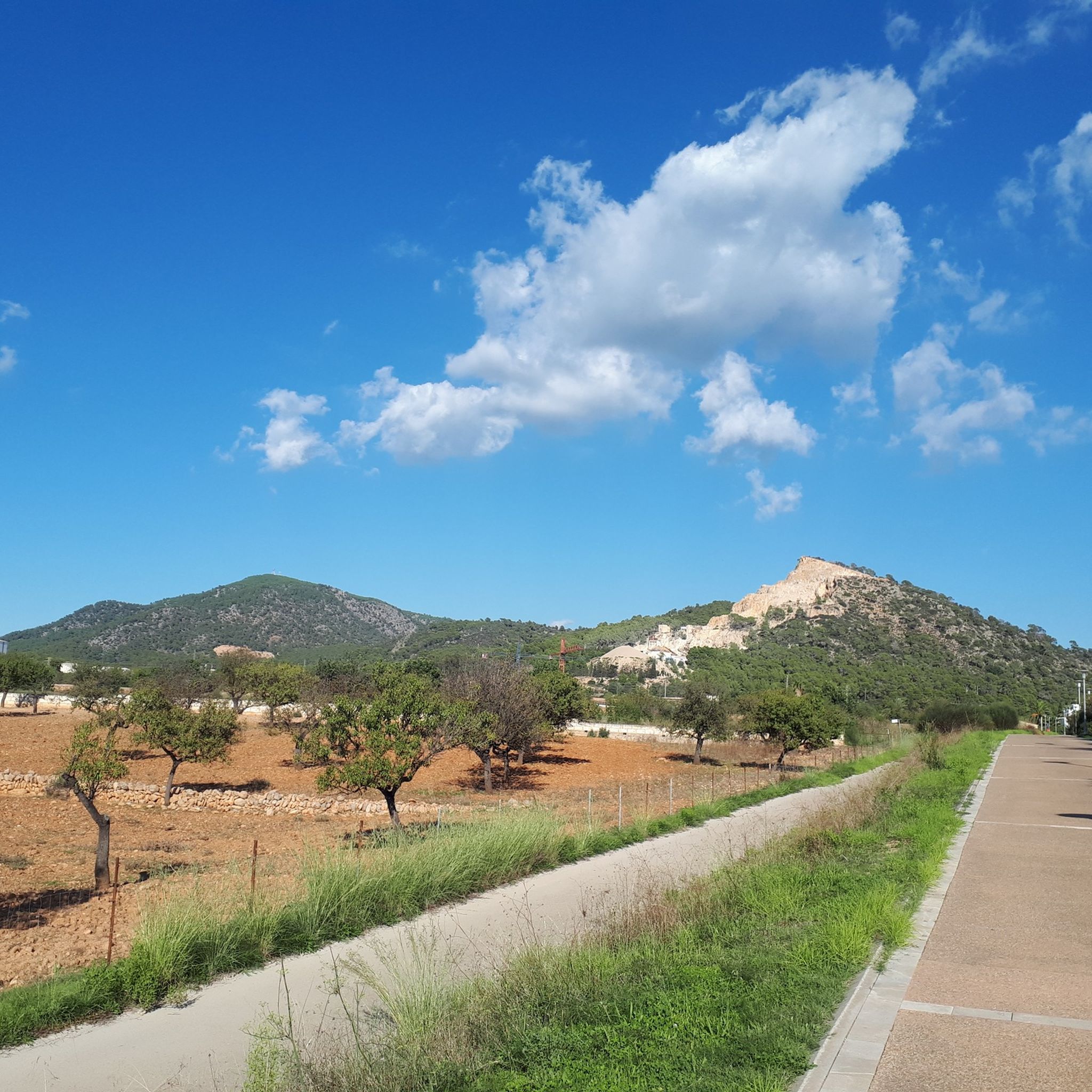
Cycling around Calvià
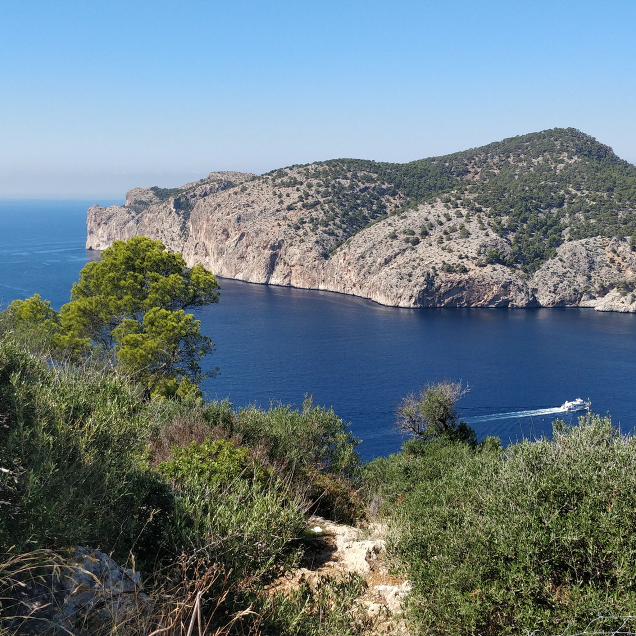
Running Trails around Calvià
MTB Trails around Calvià

Gravel biking around Calvià
Other adventures around Calvià


Tips from the Community

There are already very beautiful views here in the mountains.
4
0
Restoration work has begun here, it currently looks very quiet.
2
0

To walk without any problems
0
0

The section equipped with chains is very slippery. The stone has become smooth.
0
0

From the Shoemaker's Pass, the steep mountain path to the summit of Galatzo branches off. From the junction to the summit, it's still a good 250 meters of elevation gain!
1
0


Be sure to wear hiking boots!!! The rocks and ground are very slippery and loose in places! Otherwise, a great hike with a great view! :) Don't stray from the trails; according to the hotel staff, there are regular accidents involving helicopters in the region. Not exactly a route for children.
0
1
Sant Elm is a small town with a 180-meter-long sandy beach on the Balearic island of Mallorca. The town consists mainly of small hotels and summer residences, and during the summer months it is a popular tourist destination.
1
0
Frequently Asked Questions
What kind of terrain can I expect on mountaineering routes in Calvià?
Calvià's mountaineering routes offer a diverse range of terrain, from the dramatic cliffs and high peaks of the Serra de Tramuntana to lush forests of oak and Mediterranean pine. You'll find paths traversing extensive public estates like Finca Pública de Galatzó, as well as coastal trails with stunning sea views. The landscape often features ancient dry-stone constructions, reflecting centuries of human interaction with the environment.
Are there any easy mountaineering routes suitable for beginners or families?
Yes, Calvià offers several easier options. For instance, the View of the Bay of Palma loop from Cala Fornells is an easy 6.2 km route that takes approximately 1 hour 55 minutes, with a manageable elevation gain of about 222 meters. This route provides a great introduction to the area's beauty without requiring advanced mountaineering skills.
Which routes offer the best viewpoints or natural features?
Many routes in Calvià provide spectacular views. The Sant Elm Beach – View of Sant Elm loop from Port d'Andratx offers expansive views of the coastline and the Bay of Sant Elm. For a prominent peak experience, routes around Puig de Galatzó, such as the Puig de Galatzó loop from Estellencs, provide breathtaking panoramas of the surrounding Serra de Tramuntana.
Are there any circular mountaineering routes in the area?
Yes, several routes in Calvià are circular. The Puig de Galatzó loop from Puig de Galatzó is a moderate 4.2 km circular trail that leads through the lower slopes of Puig de Galatzó, typically completed in about 2 hours 5 minutes. Another option is the View of the Bay of Palma loop from Cala Fornells, which is an easy circular route.
What is the best time of year for mountaineering in Calvià?
The best time for mountaineering in Calvià is generally during the spring (March to May) and autumn (September to November) months. During these periods, the weather is typically mild and pleasant, avoiding the intense heat of summer and the cooler, potentially wetter conditions of winter. This allows for comfortable exploration of the mountain trails and coastal paths.
What do other mountaineers say about the routes in Calvià?
The mountaineering routes in Calvià are highly regarded by the komoot community, with an average rating of 4.6 stars from over 18 reviews. Users frequently praise the varied terrain, from challenging mountain ascents to scenic coastal paths, and the stunning views offered throughout the Serra de Tramuntana and along the coastline.
Are there any challenging routes for experienced mountaineers?
Yes, for experienced mountaineers seeking a challenge, Calvià offers more difficult routes. The Es Geperut Beach – Sant Elm Beach loop from Es Pantaleu is a difficult 15.6 km route with significant elevation changes, taking approximately 5 hours 6 minutes to complete. This route provides a strenuous workout while offering rewarding coastal and mountain scenery.
Are there any notable landmarks or attractions near the mountaineering routes?
Absolutely. The region is rich in natural and historical landmarks. Along coastal routes, you might encounter historic watchtowers like the Torre del Cap Andritxol or the Tower of Cala en Basset. The Serra de Tramuntana itself is a UNESCO World Heritage Cultural Landscape, characterized by ancient dry-stone constructions and terraced cultivation. You can also find beautiful coves like Caló d'en Monjo.
Can I combine mountaineering with other outdoor activities in Calvià?
Calvià is an excellent base for combining mountaineering with other outdoor pursuits. The area is known for rock climbing, with dedicated spots offering routes of varying difficulty. For a more adventurous experience, coasteering is available in areas like Magaluf, El Toro, and Peguera, combining cliff jumping, climbing, swimming, and abseiling along the rugged coastline.
How long do the mountaineering routes typically take to complete?
The duration of mountaineering routes in Calvià varies significantly depending on their length and difficulty. Shorter, easier routes like the Puig de Galatzó loop from Puig de Galatzó can be completed in about 2 hours. More extensive moderate routes, such as the Puig de Galatzó loop from Estellencs, typically take around 4 hours 46 minutes, while difficult routes can extend to over 5 hours.
Is public transport available to access mountaineering trailheads in Calvià?
While specific public transport details for every trailhead can vary, Calvià has a local bus network that connects various towns and coastal areas. For routes deeper within the Serra de Tramuntana or Finca Pública de Galatzó, access might require a combination of public transport and a short walk, or private vehicle. It's advisable to check local bus schedules and routes for your specific starting point.
Are there any long-distance trails that pass through or near Calvià?
Yes, portions of the renowned GR 221, also known as the Dry-Stone Route, traverse the Tramuntana mountains within or near Calvià. This long-distance trail offers stunning scenery and cultural insights into the ancient dry-stone constructions that are characteristic of the region.
Most popular attractions around Calvià

Get inspired with the komoot mobile app


Explore more
Browse the best Mountain Hikes & Routes in other regions.
