The best road cycling routes around Sarroca De Bellera
4.3
(32)
1,395
riders
41
rides
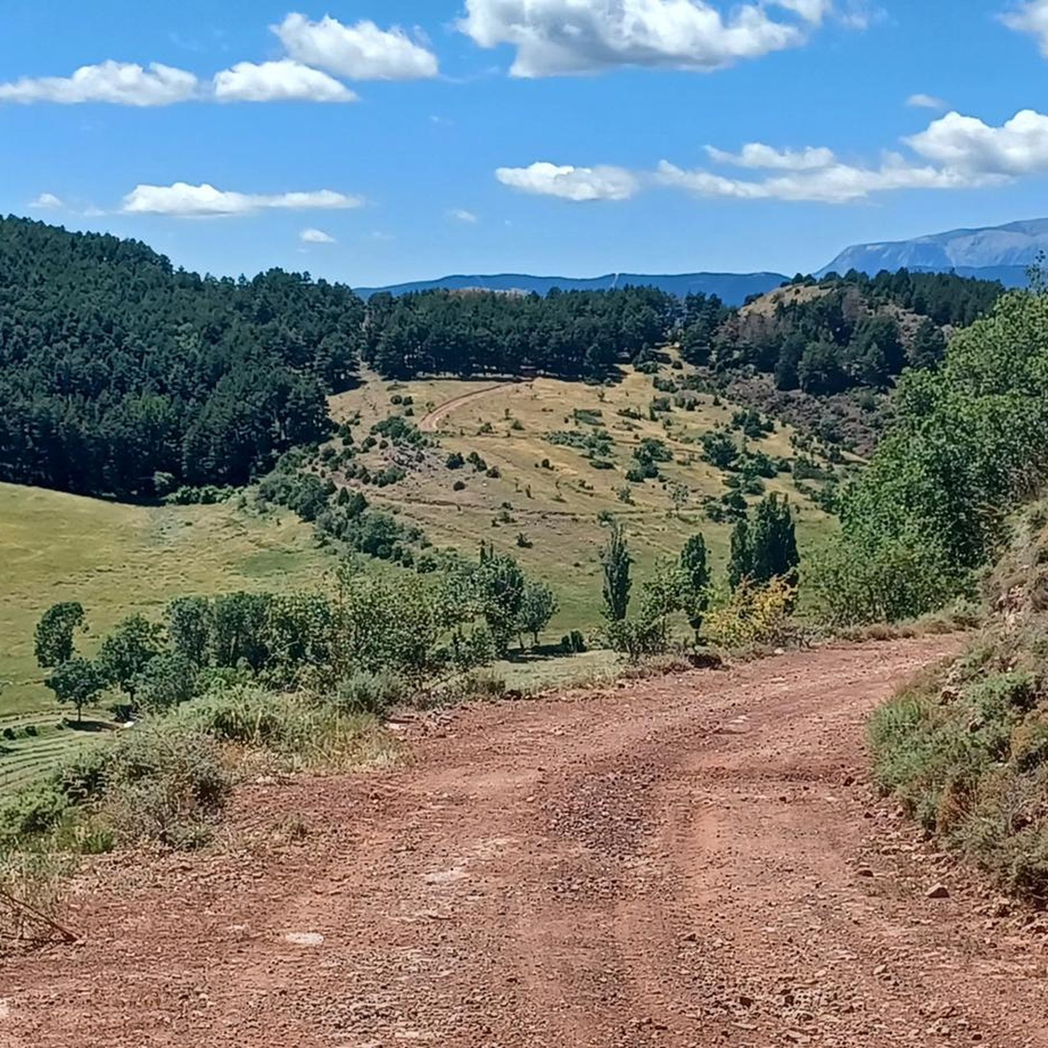
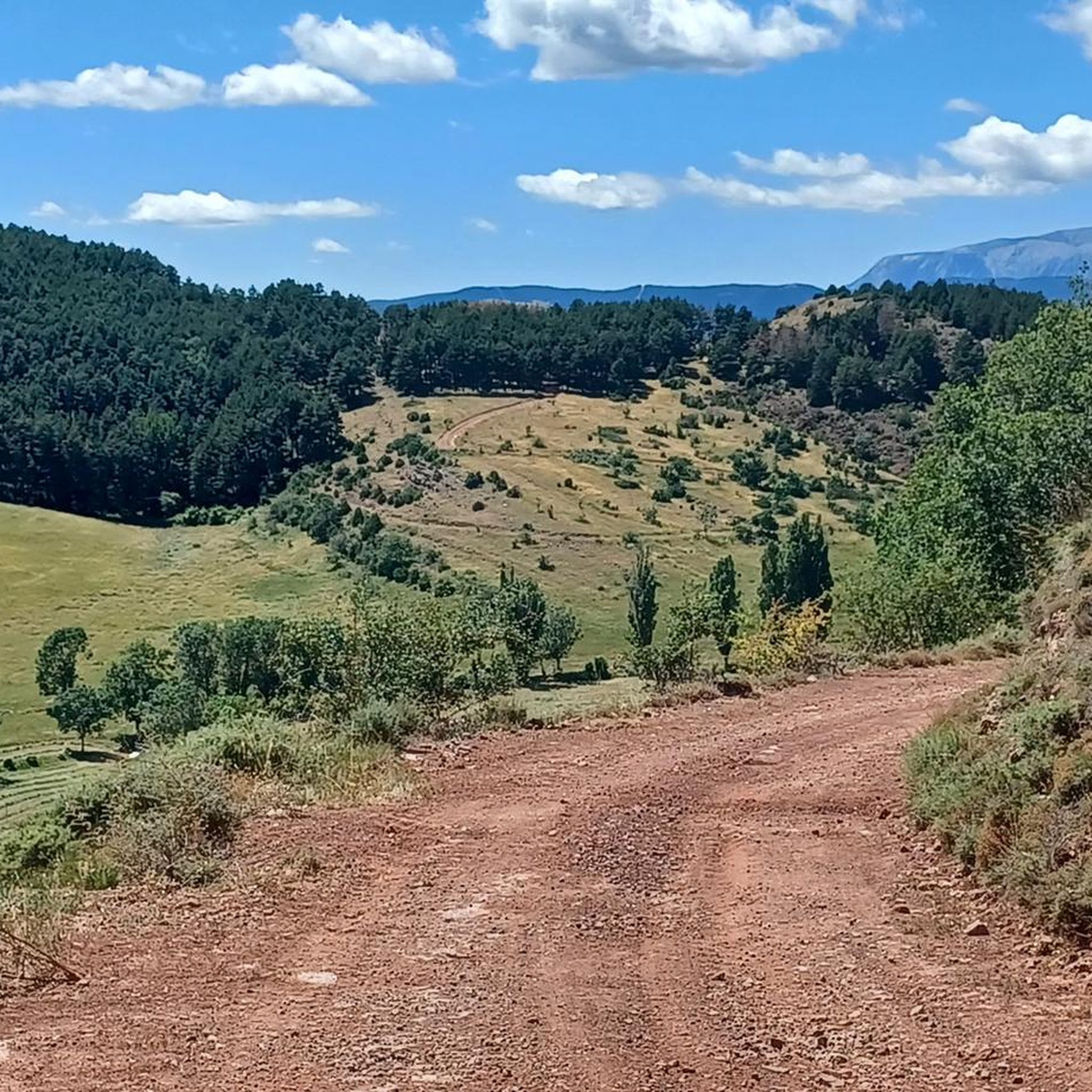
Road cycling routes around Sarroca De Bellera are situated in the mountainous region of Lleida, at an elevation of 1,000 meters above sea level, at the gateway to the Catalan Pyrenees. The area features dramatic mountainous terrain with significant elevation gains, offering challenging rides on generally well-paved roads. Cyclists can explore lush forests of oak, poplar, and ash trees, as well as river valleys and expansive panoramic views.
Best road cycling routes around Sarroca De Bellera
- The most popular road…
Last updated: October 29, 2026
5.0
(1)
52
riders
54.0km
03:14
1,380m
1,380m
Tackle the difficult 33.6-mile CIMA LL16: Embalse de Sallente Climb, gaining 4515 feet of elevation in Aigüestortes National Park.
5.0
(2)
35
riders
80.0km
04:54
1,810m
1,820m
Hard road ride. Very good fitness required. Mostly well-paved surfaces and easy to ride.

3.3
(4)
37
riders
50.5km
03:04
1,230m
1,230m
Hard road ride. Very good fitness required. Some segments of this route may be unpaved and difficult to ride.
19
riders
Hard road ride. Very good fitness required. Mostly well-paved surfaces and easy to ride.
15
riders
36.3km
01:52
600m
600m
Moderate road ride. Good fitness required. Some segments of this route may be unpaved and difficult to ride.
Get access to more routes and recommendations from other explorers.
Already have an account?
Our route recommendations are based on thousands of hikes, rides, and runs completed by other people on komoot.
Start today with a free account
Your next adventure awaits.
Popular around Sarroca De Bellera
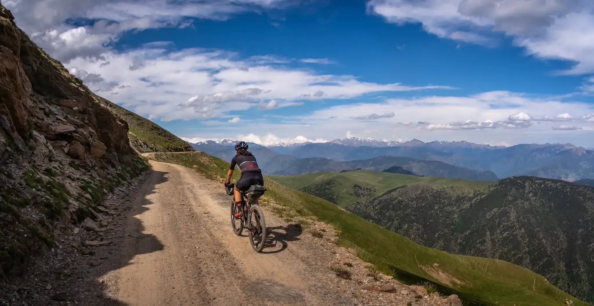
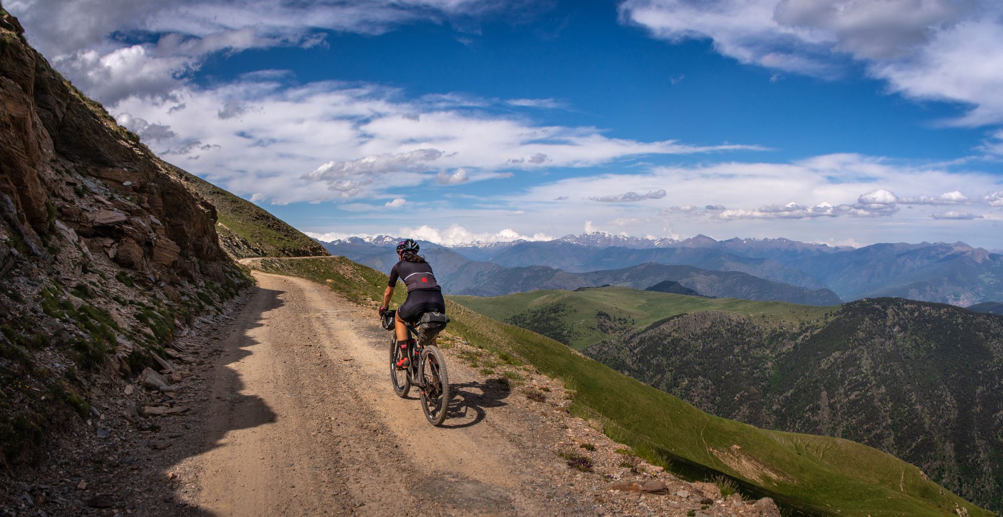
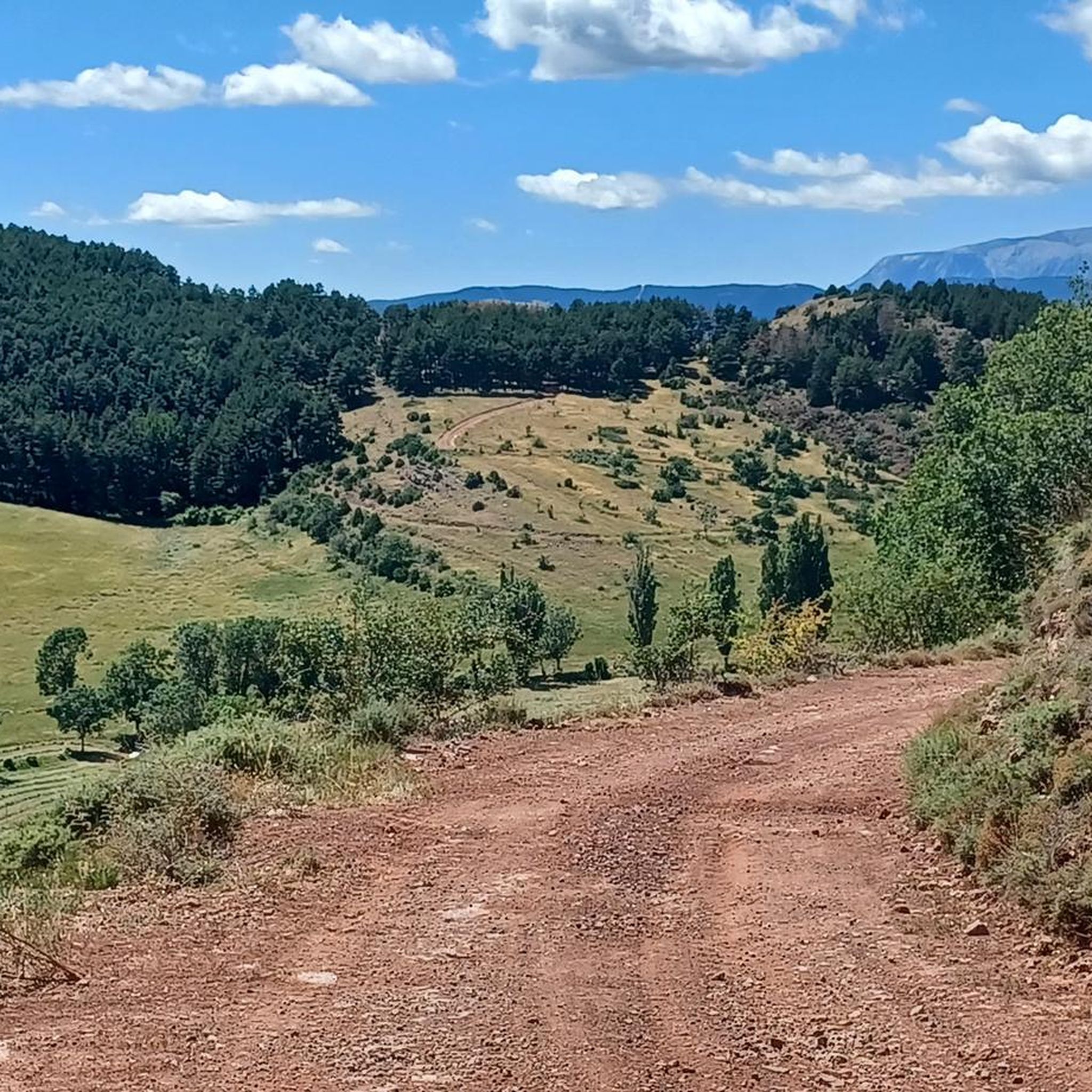
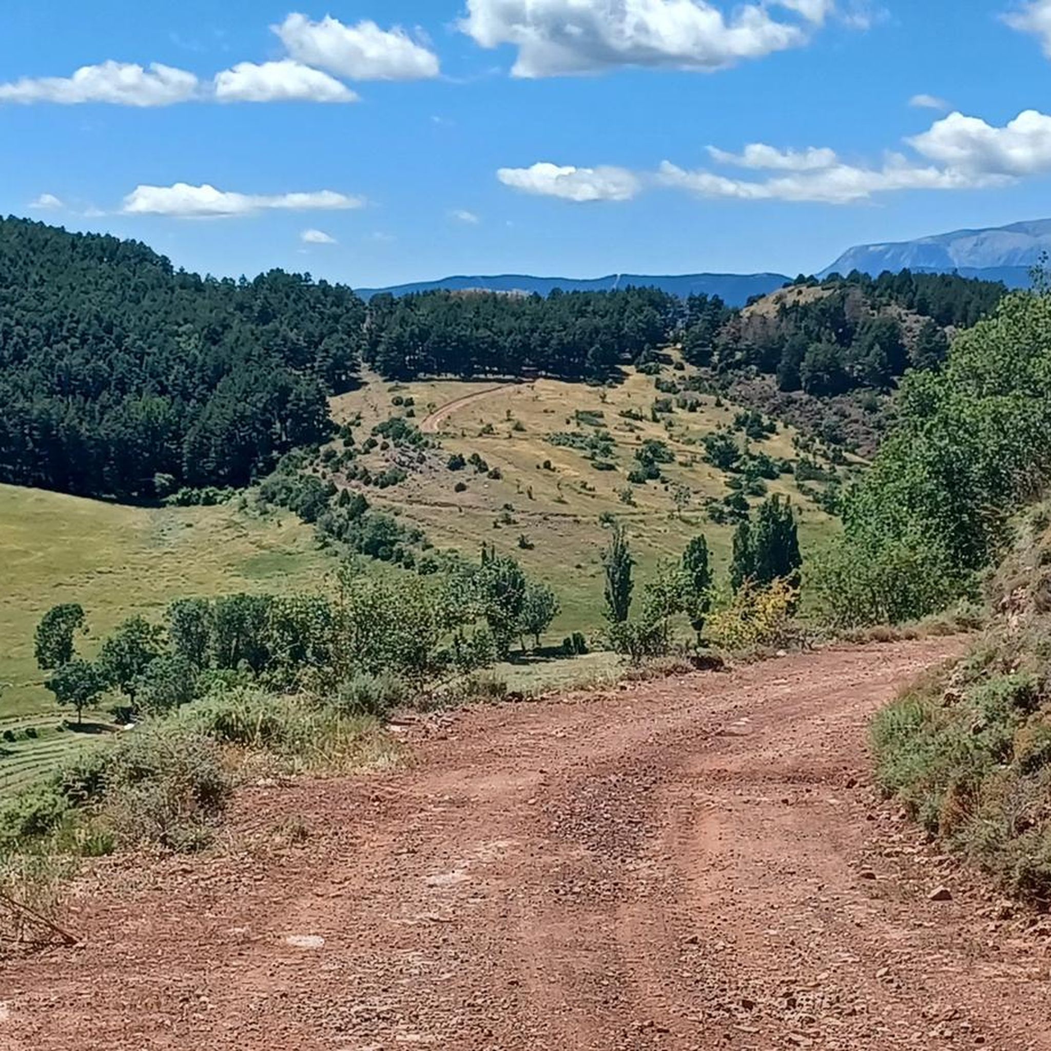

Other adventures around Sarroca De Bellera


Tips from the Community

very beautiful views
0
0

There are enough rest areas to linger.
0
0

It is a picturesque municipality located in the Pallars Jussà region, surrounded by mountains and close to rivers such as the Noguera Pallaresa. It is an ideal destination for nature lovers and outdoor sports such as cycling. In addition, it is famous for its olive oil production and its tradition of making artisanal sausages.
0
0

Good alternative to not driving on the national road. The landscape is beautiful and the road, despite being secondary, is in good condition.
0
0
Beautiful pond in the plan de Corts. Its origin and source are unknown. The road that connects Vall Fosca and Vall de Noguera and passes through here is incredible.
0
0

Spectacular road uphill to Bretuí
0
0

Lake Montcortés is not of glacial origin, but is a karst formation. Together with the surrounding mountains it forms a spectacular landscape, which is protected both by the Natura 2000 network and by the plan of areas of natural interest of the Generalitat of Catalonia.
0
0
Frequently Asked Questions
What is the general difficulty level of road cycling routes in Sarroca de Bellera?
Sarroca de Bellera offers a range of road cycling routes, from moderate to difficult. The region is characterized by dramatic mountainous terrain, meaning many routes involve significant elevation gains. For instance, the CIMA LL16: Embalse de Sallente Climb is a challenging 33.6-mile route with substantial elevation. However, there are also moderate options like the Sant Joan de Boí Church – Sant Climent de Taüll loop, which is 16.5 miles long.
What natural features and landmarks can I expect to see while road cycling in Sarroca de Bellera?
Road cycling routes in Sarroca de Bellera wind through lush forests of oak, poplar, and ash trees, offering expansive panoramic views of the mountainous landscape. You'll also encounter river valleys, traditional villages, and historical sites. Notable landmarks include the Romanesque churches of Sant Climent de Taüll and Sant Feliu de Barruera Church, which are often part of popular cycling loops.
Are there any specific viewpoints along the road cycling routes in Sarroca de Bellera?
Given the dramatic mountainous terrain of Sarroca de Bellera, many routes naturally offer spectacular panoramic views. While specific named viewpoints for cyclists aren't detailed, the significant elevation gains on routes like the CIMA LL16: Embalse de Sallente Climb ensure breathtaking vistas of the Catalan Pyrenees and surrounding valleys.
Where can I park my car when planning a road cycling trip in Sarroca de Bellera?
Sarroca de Bellera and its surrounding villages are generally small, and parking is typically available within or at the outskirts of these communities. For specific route starting points, such as those near Estació d'esquí Boí-Taüll or Sant Climent de Taüll, you can usually find designated parking areas suitable for accessing the trails.
Is public transport an option for accessing road cycling routes in Sarroca de Bellera?
Public transport options directly to Sarroca de Bellera for cyclists might be limited due to its mountainous and somewhat remote location. It's advisable to check local bus schedules for the Pallars Jussà region, but often, driving to a starting point or using a car to transport bikes is the most convenient option for accessing the diverse road cycling routes.
Do I need any special permits for road cycling, especially in areas like Aigüestortes National Park?
While general road cycling on public roads in the Sarroca de Bellera region typically does not require special permits, routes that venture into protected areas like Aigüestortes National Park might have specific regulations. For example, the CIMA LL16: Embalse de Sallente Climb is within a national park setting. It's always recommended to check the official park guidelines for any restrictions or permit requirements for cycling within its boundaries before your trip.
What is the best time of year for road cycling in Sarroca de Bellera?
The best time for road cycling in Sarroca de Bellera is generally from spring through autumn. The autumn season is particularly beautiful, as the Pallars Jussà region transforms into a vibrant display of warm colors. While roads are generally well-paved, the mountainous terrain means winter conditions can be challenging with snow and ice at higher elevations.
Are there any family-friendly road cycling routes in Sarroca de Bellera?
Given the region's mountainous terrain and significant elevation gains, many road cycling routes in Sarroca de Bellera are geared towards moderate to difficult skill levels. While there are some moderate routes, truly 'easy' or flat family-friendly road cycling options might be limited. Routes like the Sant Joan de Boí Church – Sant Climent de Taüll loop are moderate but still involve climbs.
What do other road cyclists enjoy the most about road cycling in Sarroca de Bellera?
The road cycling routes around Sarroca de Bellera are highly rated by the komoot community, with an average score of 4.9 stars from over 10 reviews. Cyclists often praise the varied terrain, the challenging climbs, and the stunning natural beauty of the Catalan Pyrenees, including the lush forests and river valleys. The opportunity to cycle through traditional villages and past historical sites is also a highlight.
How many road cycling routes are available around Sarroca de Bellera?
There are over 30 road cycling routes available around Sarroca de Bellera, offering a wide range of options for cyclists. These include 14 moderate routes and 19 difficult routes, ensuring there's something for various skill levels and preferences.
Can I find circular road cycling routes in the Sarroca de Bellera area?
Yes, many of the road cycling routes around Sarroca de Bellera are designed as loops, allowing you to start and end in the same location. Examples include the Sant Joan de Boí Church – Sant Climent de Taüll loop and the Sant Climent de Taüll – Sant Feliu de Barruera Church loop, which take you through scenic landscapes and past historical sites.
Are there any long-distance road cycling routes for experienced riders?
Experienced riders will find several long-distance and challenging routes. For example, the Sant Climent de Taüll – Sant Feliu de Barruera Church loop is 42.5 miles (68.4 km) long with significant elevation gain. Another demanding option is the CIMA LL16: Embalse de Sallente Climb, spanning 33.6 miles (54.0 km) with substantial climbing within a national park setting.
Most popular routes around Sarroca De Bellera
Most popular attractions around Sarroca De Bellera

Get inspired with the komoot mobile app


Explore more
Browse the best Road cycling routes in other regions.
