The best walks and hikes around Labastida/Bastida
4.5
(197)
1,158
hikers
33
hikes
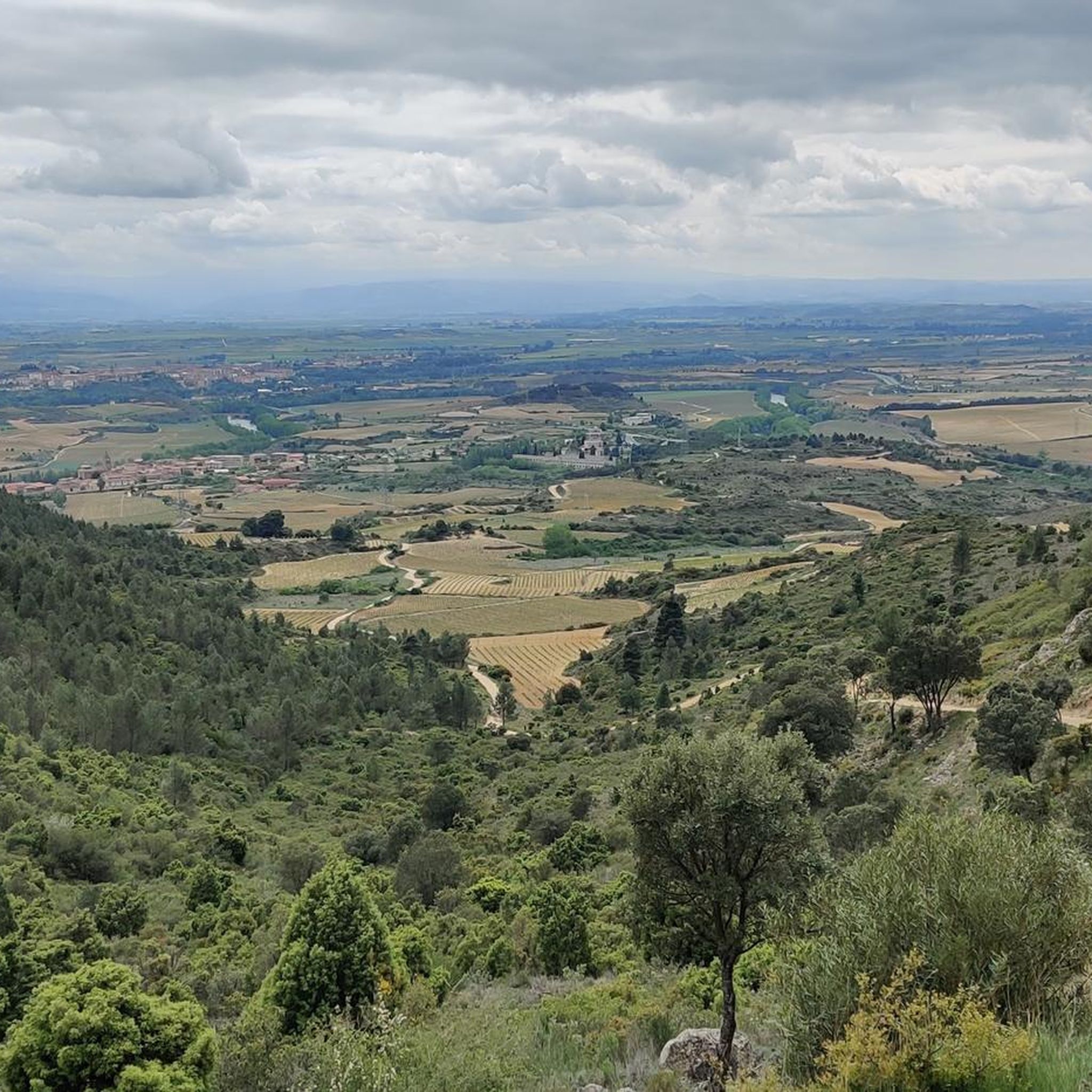
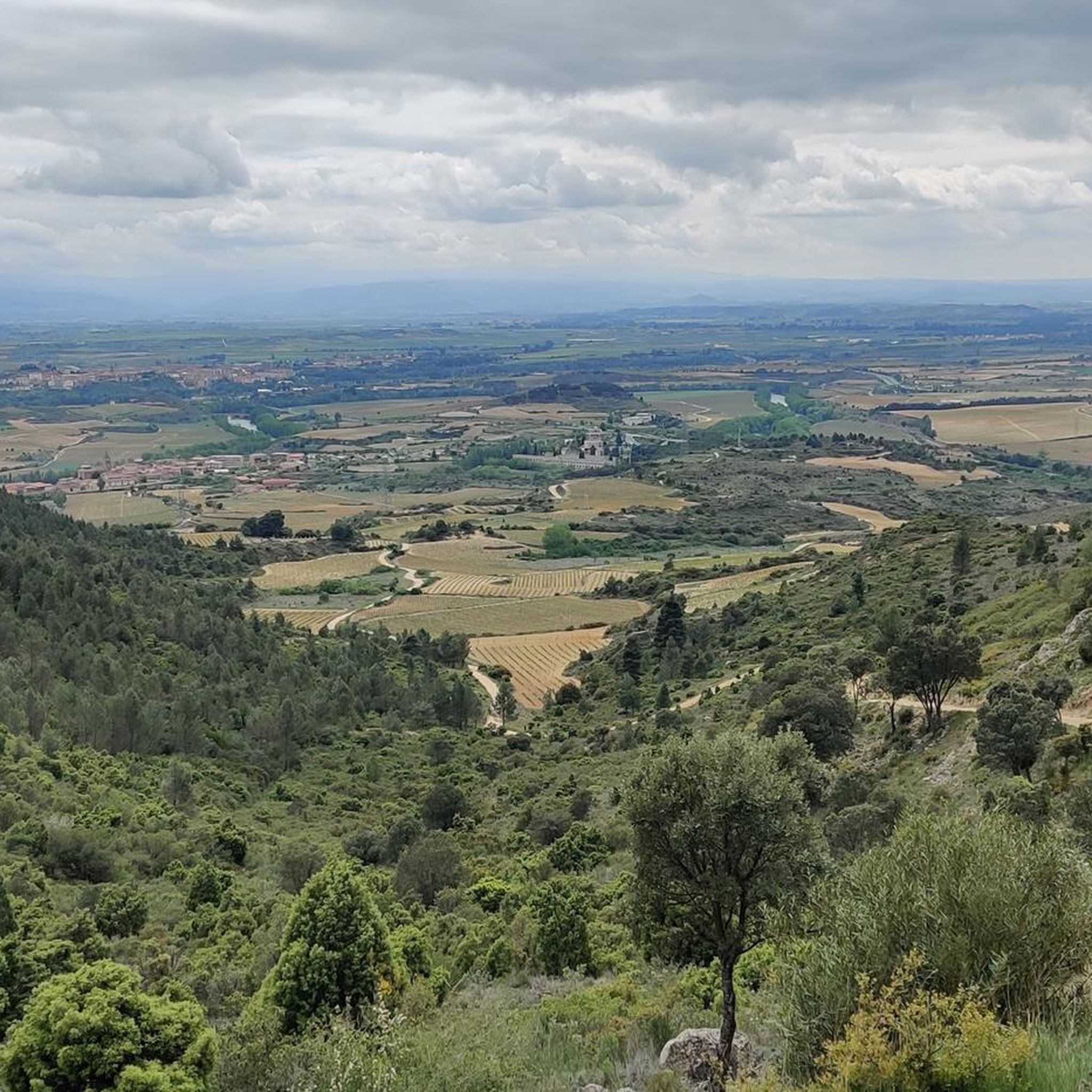
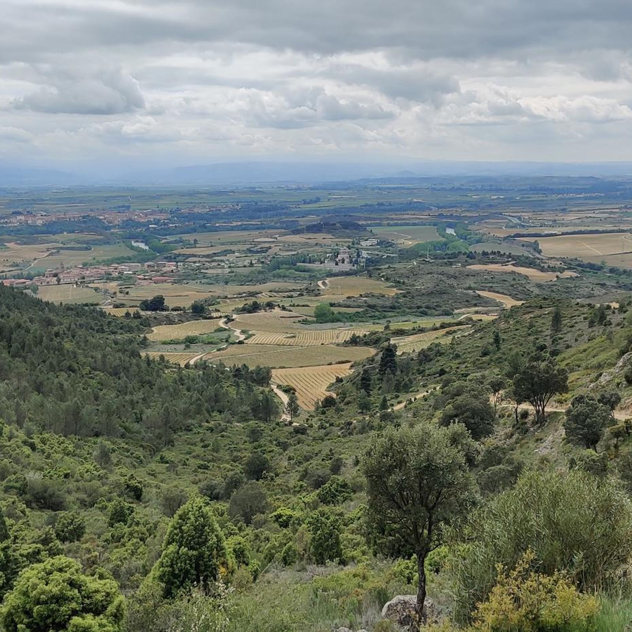
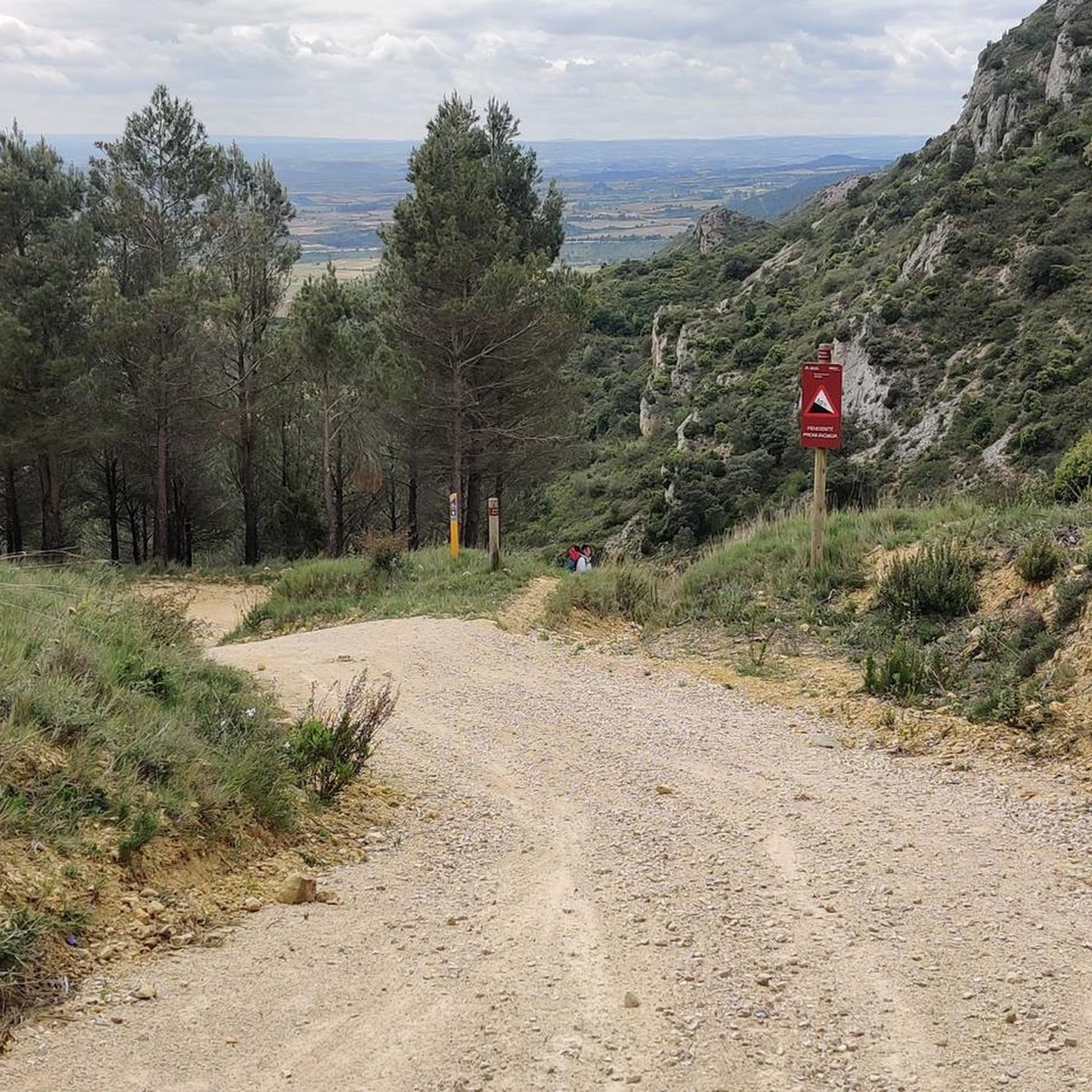
Hiking around Labastida/Bastida offers diverse terrain, situated between the Sierra de Cantabria mountain range and the Ebro River. The region features prominent peaks like Mount Toloño, which provides significant elevation gain and panoramic views. Extensive vineyards characterize the lower elevations, contributing to the area's landscape. This combination of mountains, river valleys, and agricultural land creates varied hiking opportunities.
Best hiking trails around Labastida/Bastida
- The most popular hiking route is Ascent to Toloño from Labastida – Toloño Mountains, a difficult 11.6 miles (18.6 km) trail that takes 6 hours 20 minutes to complete. This route involves a challenging ascent to Mount Toloño, offering expansive vistas of the Rioja Alavesa region.
- Another top favourite among local hikers is Toloño (geodetic vertex) – Toloño loop from Labastida / Bastida, a moderate 5.7 miles (9.2 km) path. This loop leads to the geodetic vertex of Toloño, providing views across the landscape.
- Local hikers also love the Humilladero Hermitage loop from Labastida / Bastida, a 4.2 miles (6.7 km) trail leading through varied terrain, often completed in about 3 hours 21 minutes.
- Hiking around Labastida/Bastida is defined by the Sierra de Cantabria mountains, the Ebro River valley, and extensive vineyards. The network offers options for different ability levels, from demanding mountain ascents to gentler vineyard walks.
- The routes in Labastida/Bastida are highly rated by the komoot community with an average score of 4.5 stars from over 200 reviews. More than 1200 hikers have used komoot to explore Labastida/Bastida's varied terrain.
Last updated: September 2, 2026
4.6
(5)
34
hikers
18.6km
06:20
720m
720m
Hard hike. Very good fitness required. Mostly accessible paths. Sure-footedness required.
4.8
(24)
144
hikers
9.03km
04:18
640m
640m
Moderate hike. Good fitness required. Mostly accessible paths. Sure-footedness required.

Sign up for free
4.7
(6)
30
hikers
Moderate hike. Good fitness required. Easily-accessible paths. Suitable for all skill levels.
4.7
(6)
27
hikers
7.99km
02:12
140m
130m
Moderate hike. Good fitness required. Easily-accessible paths. Suitable for all skill levels.
4.4
(7)
24
hikers
Hard hike. Very good fitness required. Easily-accessible paths. Suitable for all skill levels.
Get access to more routes and recommendations from other explorers.
Sign up for free
Already have an account?
Our route recommendations are based on thousands of hikes, rides, and runs completed by other people on komoot.
Start today with a free account
Your next adventure awaits.
Login or Signup

Other adventures around Labastida/Bastida

Tips from the Community

Beautiful river walk with small waterfalls.
1
0

The route takes about 2 hours and 30 minutes. It's about 10km long. It has a slightly steep climb, but nothing too difficult.
0
0

As if the waterfall wasn't spectacular enough, there is a small but beautiful cave next to it.
1
0
Also called "Ollerías waterfall" or "Inglares waterfall".
1
0
It is worth it even without doing the famous water route.
1
0
One more of all the emblazoned buildings that you can find on this street.
3
0
Accessible through a curious passageway.
3
0
Frequently Asked Questions
How many hiking trails are available in Labastida/Bastida?
Labastida/Bastida offers a diverse selection of over 35 hiking routes. These range from easy strolls through vineyards to challenging ascents in the Sierra de Cantabria mountains.
What do other hikers enjoy most about hiking in Labastida/Bastida?
The area is highly rated by the komoot community, with an average score of 4.5 stars from over 200 reviews. Hikers frequently praise the varied terrain, from the dramatic mountain views of the Sierra de Cantabria to the picturesque vineyard paths, and the blend of natural beauty with historical sites.
What is the best time of year to go hiking in Labastida/Bastida?
The region offers pleasant hiking conditions for much of the year. Spring and autumn are particularly ideal, with milder temperatures and vibrant landscapes, especially during the grape harvest season in the vineyards. Summer can be warm, making early morning or late afternoon hikes preferable, while winter offers crisp air and unique views, though some higher mountain paths might require more preparation.
Are there easy hiking trails suitable for beginners in Labastida/Bastida?
Yes, there are 6 easy routes available, perfect for beginners or those looking for a relaxed walk. These often traverse the lower elevations and vineyards, offering gentle gradients and charming scenery.
Are there challenging hikes for experienced trekkers in Labastida/Bastida?
Absolutely. For experienced hikers, there are 8 difficult routes, many of which involve significant ascents into the Sierra de Cantabria. A notable example is the Ascent to Toloño from Labastida – Toloño Mountains, which is an 11.6-mile trail with substantial elevation gain, offering panoramic views from Mount Toloño.
Are there any circular hiking routes in Labastida/Bastida?
Yes, many routes in the area are circular, allowing you to start and end in the same location. For instance, the Toloño (geodetic vertex) – Toloño loop from Labastida / Bastida is a moderate 5.7-mile loop that takes you to the geodetic vertex of Toloño, offering expansive views.
Can I find trails with waterfalls near Labastida/Bastida?
Yes, the region boasts several beautiful waterfalls. You can explore highlights like the Ollerías Waterfall or the Inglares Waterfall, which are often part of scenic routes, particularly along the Water Route.
Are there family-friendly hiking options in Labastida/Bastida?
Yes, Labastida/Bastida offers routes suitable for families. Areas like San Ginés Park provide natural spaces with recreational facilities, and many of the easier vineyard walks are perfect for families with children. Look for routes with lower difficulty grades and shorter distances.
What natural landmarks or viewpoints can I expect to see on the trails?
Hikers can enjoy stunning natural landmarks and viewpoints. Mount Toloño offers panoramic vistas of the Rioja Alavesa, the Ebro River, and distant mountain ranges. The Sierra de Cantabria provides dramatic backdrops, and the extensive vineyards create picturesque landscapes throughout the region.
Are there historical sites or cultural attractions accessible via hiking trails?
Yes, the trails often lead to or pass by significant historical and cultural sites. The ruins of the ancient Monastery of Santa María del Toloño are found at the base of Mount Toloño. The Humilladero Hermitage loop from Labastida / Bastida takes you past a historical hermitage. You can also find old wine presses carved into rocks, showcasing the area's winemaking heritage, and the Santo Cristo Chapel offers bird's-eye views of Labastida.
Where can I find parking for hiking trails in Labastida/Bastida?
Parking is generally available in and around Labastida/Bastida, particularly near popular trailheads or within the town itself. Many routes, such as those leading to Mount Toloño, often have designated parking areas at their starting points, like near San Ginés Park.
What kind of terrain can I expect on hikes around Labastida/Bastida?
The terrain varies significantly, from gentle, well-maintained paths through vineyards and along the Ebro River to rugged, rocky trails with steep ascents and descents in the Sierra de Cantabria. Some mountain routes require good fitness and sure-footedness, while others are more accessible for casual walkers.
Most popular routes around Labastida/Bastida
Most popular attractions around Labastida/Bastida

Get inspired with the komoot mobile app


Explore more
Browse the best Hikes in other regions.
