The best walks and hikes around Böttingen
4.6
(187)
781
hikers
41
hikes
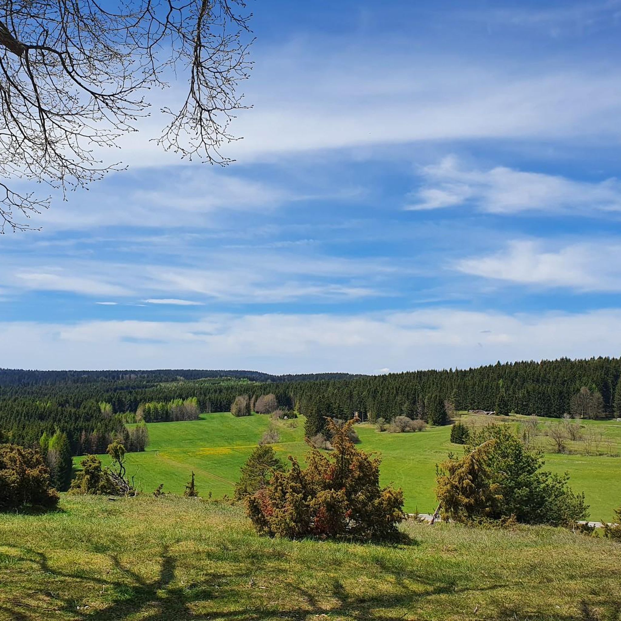
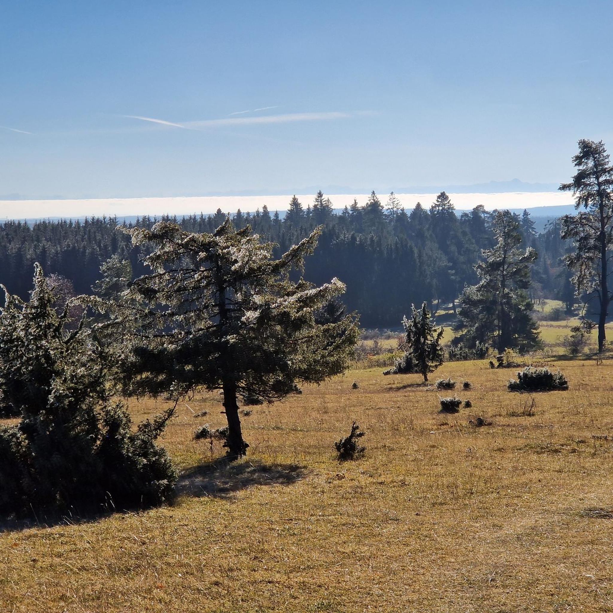
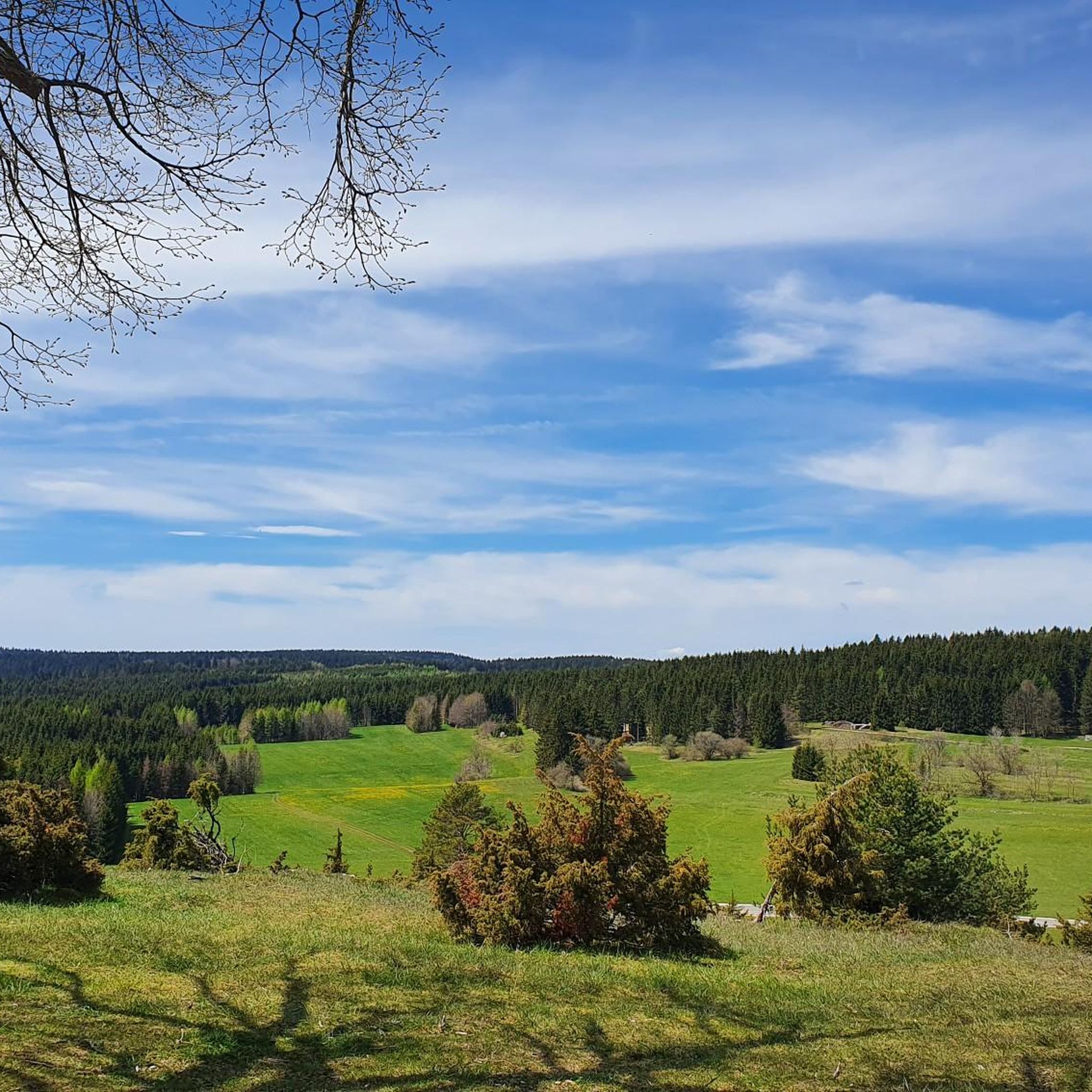
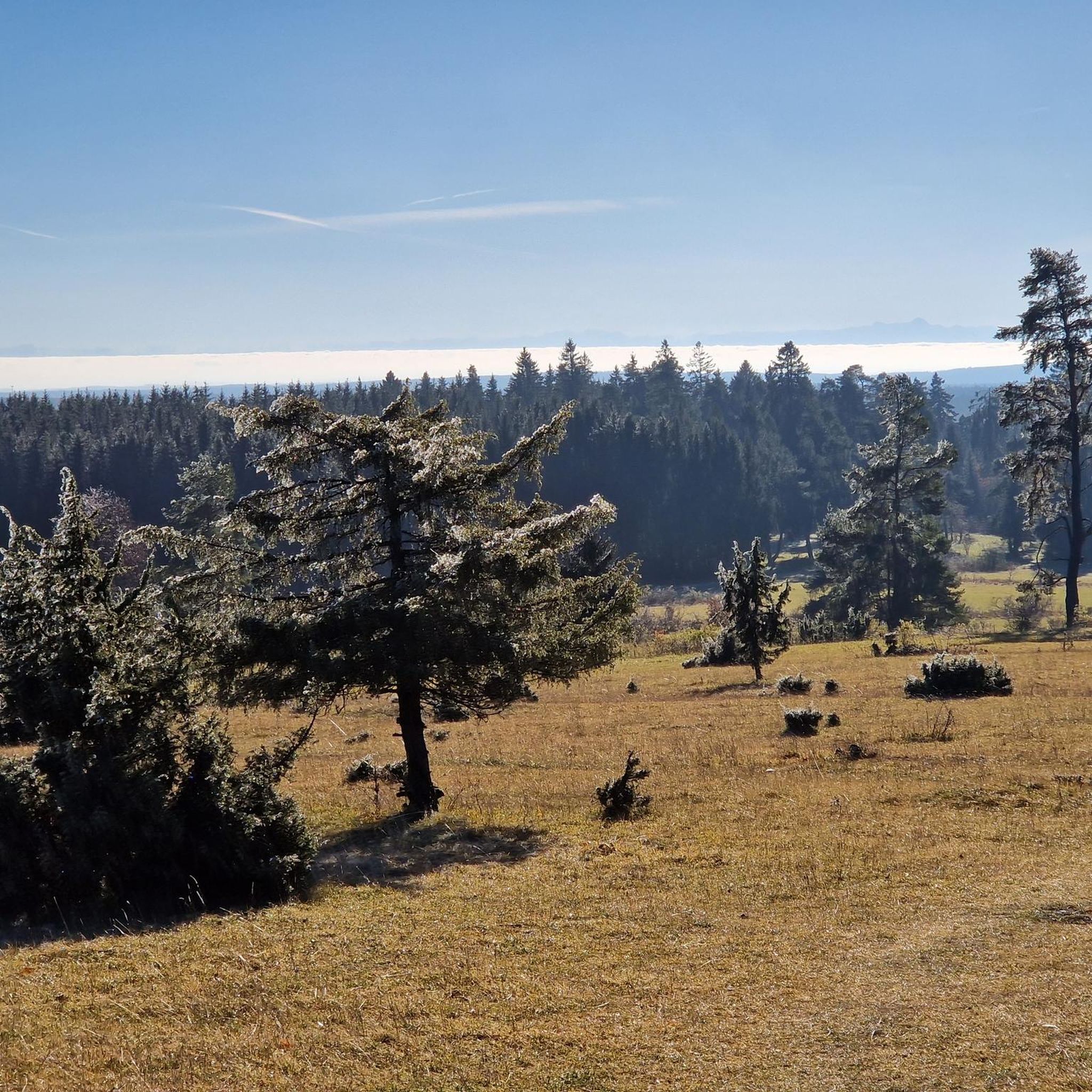
Hiking around Böttingen offers access to the high plateau of the Swabian Jura, characterized by elevations between 911 and 991 meters. The region features diverse natural landscapes, including limestone grasslands, juniper heaths, and dry valleys, shaped by its geological history. These areas are often protected, preserving unique ecosystems and rock formations. The terrain provides expansive views, particularly from higher points like the Alter Berg.
Best hiking trails around Böttingen
- The most popular hiking route is Grauental Spring – Allenspacher Hof…
Last updated: October 7, 2026
4.6
(48)
163
hikers
8.44km
02:24
190m
190m
Moderate hike. Good fitness required. Easily-accessible paths. Suitable for all skill levels.
4.8
(20)
73
hikers
6.10km
01:43
130m
130m
Easy hike. Great for any fitness level. Easily-accessible paths. Suitable for all skill levels.

4.3
(9)
34
hikers
Easy hike. Great for any fitness level. Easily-accessible paths. Suitable for all skill levels.
4.3
(10)
35
hikers
15.8km
04:18
240m
230m
Moderate hike. Good fitness required. Easily-accessible paths. Suitable for all skill levels.
4.7
(14)
33
hikers
12.9km
03:48
340m
340m
Moderate hike. Good fitness required. Mostly accessible paths. Sure-footedness required.
Get access to more routes and recommendations from other explorers.
Already have an account?
Our route recommendations are based on thousands of hikes, rides, and runs completed by other people on komoot.
Start today with a free account
Your next adventure awaits.

Tips from the Community

Beautiful place for a break! You are at the upper end of the valley here and can decide to continue further west from here.
0
0

Great for a break! There is a bench under the linden tree where you can enjoy the vastness of the landscape. For inner contemplation, head into the small chapel.
0
0

The former mill is privately owned and not accessible. Alpacas are now kept there.
2
0
Beautiful small pilgrimage church. Very well-kept outdoor area. On the gable end of the chapel is a beautiful Lourdes grotto.
0
0

A paradise for butterflies: good on hot days, plenty of shade
1
0

The juniper heath is always worth a visit.
1
0
Also looks very attractive in the white dress.
0
0
Very beautifully laid out town center.
0
0
Frequently Asked Questions
How many hiking trails are available around Böttingen?
Böttingen offers a diverse network of over 40 hiking trails. These routes cater to various skill levels, including 23 easy, 19 moderate, and 1 difficult trail, ensuring there's something for everyone.
What kind of landscapes can I expect to see while hiking in Böttingen?
Hiking in Böttingen takes you across the high plateau of the Swabian Jura, characterized by elevations up to 991 meters. You'll encounter unique landscapes shaped by its geological history, including extensive juniper heaths, limestone grasslands, and characteristic dry valleys. The region is known for its bizarre rock formations and offers expansive views, particularly from higher points like the Alter Berg.
Are there any easy hiking trails suitable for beginners or families in Böttingen?
Yes, Böttingen has 23 easy hiking trails perfect for beginners or families. A great option is the View of Schäfertal – Schäferquelle and Picnic Area loop from Böttingen. This 3.8-mile (6.1 km) path offers pleasant views of the Schäfertal valley and passes natural springs, making it an enjoyable and accessible walk.
Can I find circular hiking routes around Böttingen?
Many of the trails around Böttingen are designed as circular routes, allowing you to start and end at the same point. For example, the Grauental Spring – Allenspacher Hof and Hoflinde loop from Kirchbühl is a popular moderate 5.2-mile (8.4 km) loop that explores varied landscapes. Another option is the Böttinger Cemetery Signpost – Chapel Near Kochelsberg loop from Böttingen, an easy 4.5-mile (7.3 km) trail.
Are there specific trails that offer great viewpoints or panoramic vistas?
Absolutely. The region is known for its stunning views. The Alter Berg mountain, at 980 meters, is a prominent landmark offering panoramic vistas over the protected natural landscape of the Southwest Swabian Alb, with views extending to the Alps on clear days. Trails like the View of Schäfertal – Schäferquelle and Picnic Area loop from Böttingen provide excellent views of the Schäfertal valley.
Are dogs allowed on the hiking trails in Böttingen?
Generally, dogs are welcome on the hiking trails around Böttingen. The natural landscapes, including juniper heaths and open fields, provide a great environment for walks with your canine companion. However, it's always recommended to keep dogs on a leash, especially in protected areas or near grazing sheep, and to be mindful of local regulations and other hikers.
What are some notable natural attractions or landmarks to look out for?
Beyond the expansive views from the Alter Berg, you can explore unique geological features like the bizarre rock formations resulting from the prehistoric Jurassic ocean. The St. Joseph Chapel on the Alter Berg is a regional cultural monument. Additionally, you might encounter the 'Heidentor' and 'Götzenaltar' on some local trails. For those interested in water features, nearby attractions include the Bärenthal Tufa Cascades or the Schlichem Waterfall (Hausen am Tann).
Is Böttingen accessible by public transport for hikers?
Böttingen is situated on the Swabian Jura plateau. While specific public transport connections directly to trailheads might vary, the region is generally served by local bus routes. It's advisable to check local bus schedules for connections to Böttingen from larger towns in the area to plan your hiking trip using public transport.
Where can I park my car when starting a hike in Böttingen?
Böttingen, being a popular hiking destination, typically offers designated parking areas for hikers. These are often found near trailheads or key attractions within the village. Look for signs indicating 'Wanderparkplatz' (hiker parking) upon arrival. Specific parking details might be available on individual route descriptions.
What is the best time of year to go hiking in Böttingen?
The best time for hiking in Böttingen is generally from spring to autumn (April to October). During these months, the weather is usually mild and pleasant, making it ideal for exploring the juniper heaths and enjoying the panoramic views. The landscape is vibrant with flora, and trails are typically dry and well-maintained.
Are there options for winter hiking in Böttingen?
Yes, Böttingen transforms in winter. While some hiking trails might be covered in snow, the plateau is well-known for its extensive 60 km network of cross-country skiing trails. If conditions allow, some trails might be suitable for winter hiking, but it's crucial to check local weather and trail conditions beforehand and wear appropriate gear.
What do other hikers say about the trails in Böttingen?
The hiking trails in Böttingen are highly regarded by the komoot community, with an average rating of 4.7 stars from over 180 reviews. Hikers often praise the diverse and protected natural landscapes, the well-maintained paths, and the stunning panoramic views, especially from the Alter Berg. Many appreciate the variety of routes available for different fitness levels.
How long do hikes typically take around Böttingen?
The duration of hikes around Böttingen varies depending on the trail's length and difficulty. For instance, an easy 3.8-mile (6.1 km) route like the View of Schäfertal – Schäferquelle and Picnic Area loop can take around 1 hour and 45 minutes. Moderate trails, such as the 5.2-mile (8.4 km) Grauental Spring – Allenspacher Hof and Hoflinde loop, typically take about 2 hours and 20 minutes. Longer routes, like the 9.8-mile (15.8 km) Grauental Spring – View of Schäfertal loop, can take over 4 hours.
Most popular routes around Böttingen
Most popular attractions around Böttingen

Get inspired with the komoot mobile app


Explore more
Browse the best Hikes in other regions.
