The best walks and hikes around Bustarviejo
4.6
(171)
968
hikers
49
hikes
Hiking around Bustarviejo, nestled in the Sierra Norte de Madrid, offers diverse landscapes characterized by granite formations, dense forests, and mountain peaks. The region features a network of well-marked trails, including waterways like the Arroyo del Sestil del Maíllo and the Mojonavalle Waterfall. Hikers can explore varied terrain ranging from lush ash groves to rocky slopes and high-altitude vistas.
Best hiking trails around Bustarviejo
- The most popular hiking route is Sestil del Maíllo Stream and Mojonavalle Slope Trail, a…
Last updated: July 7, 2026
4.2
(29)
126
hikers
11.4km
03:34
400m
410m
Hike the moderate 7.1-mile Sestil del Maíllo Stream and Mojonavalle Slope Trail to see a waterfall and rare birch forest.
4.8
(10)
89
hikers
12.3km
05:00
620m
620m
Hard hike. Very good fitness required. Mostly accessible paths. Sure-footedness required.

Sign up for free
4.5
(2)
67
hikers
10.4km
02:59
250m
260m
Moderate hike. Good fitness required. Mostly accessible paths. Sure-footedness required.
5.0
(6)
27
hikers
12.4km
04:47
540m
540m
Moderate hike. Good fitness required. Mostly accessible paths. Sure-footedness required.
4.7
(10)
28
hikers
14.0km
04:00
310m
310m
Moderate hike. Good fitness required. Mostly accessible paths. Sure-footedness required.
Get access to more routes and recommendations from other explorers.
Sign up for free
Already have an account?
Our route recommendations are based on thousands of hikes, rides, and runs completed by other people on komoot.
Start today with a free account
Your next adventure awaits.
Login or Signup
Tips from the Community

This large pine forest is located within the municipality of Canencia and is easily accessible via forest tracks from the Canencia Pass, coming from the south (Miraflores de la Sierra and Madrid) or from the north (Canencia in the Lozoya Valley). It can also be reached via a longer approach from the M-611 road through the Collado del Hontanar pass (1,731 m).
1
0
The waterfall is tall and very beautiful; it's best visited after a period of heavy rain or when there's snow in the area. It's located within the municipality of Canencia and is easily accessible via forest tracks from the Canencia Pass, coming from the south (Miraflores de la Sierra and Madrid) or from the north (Canencia in the Lozoya Valley). A longer approach is also possible from the M-611 via the Collado del Hontanar pass (1,731 m). If you approach the waterfall from its eastern side, be very careful of slipping, as it could be fatal. The ground is often wet and even icy in autumn and winter.
0
0

The **Centennial Yew of Canencia** is a unique tree of great botanical and landscape value in the Sierra de Guadarrama, in the Community of Madrid. It is not just a specimen, but part of a small population of yews that has survived in an exceptional setting, the Canencia Birch Forest. ### Characteristics and Location * **Species:** *Taxus baccata* (common yew). * **Age:** The most notable specimen is estimated to be between **400 and 500 years old**. Its longevity is one of the most fascinating characteristics of this species. * **Dimensions:** It has a trunk of considerable girth (around 4.10 meters) and a wide crown about 15 meters in diameter, which demonstrates its advanced age and health. * **Location:** It is located in the **Canencia Birch Forest** area, very close to the Canencia Pass. It is often included in the popular hiking trail known as "The Birch Forest Path" or the "Mojonavalle Waterfall Path." It is located near the Sestil del Maíllo stream. * **Environment:** The yew coexists with other unique species such as birch, holly, and Scots pines. This humid and protected microclimate has allowed the survival of these trees, which are relics of colder, wetter times. ### Importance and Uniqueness * **Botanical Value:** Yews are extremely slow-growing trees and are considered almost immortal. In Spain, they are a protected species, and finding such ancient specimens is a rarity. * **Landscape Value:** The Canencia yew stands out for its majestic appearance in the midst of a very picturesque forest, attracting numerous hikers and nature lovers. * **History and legend:** Like many ancient yew trees, it is steeped in legend. In many European cultures, they were considered sacred trees for their longevity and the toxicity of their parts (except for the pulp of their fruit). ### Access and routes To visit the yew, the most common route is the **Birch Forest Path**, which starts from the Canencia Pass itself. The path is signposted. You walk along a forest track to a detour that leads directly to the Chorrera de Mojonavalle, and a little further on, you will find the yew tree. Despite its age, the tree is increasingly visible and accessible, but it is essential to be respectful and not damage its surroundings to preserve this natural monument.
0
0
There are times when it doesn't carry water
0
0

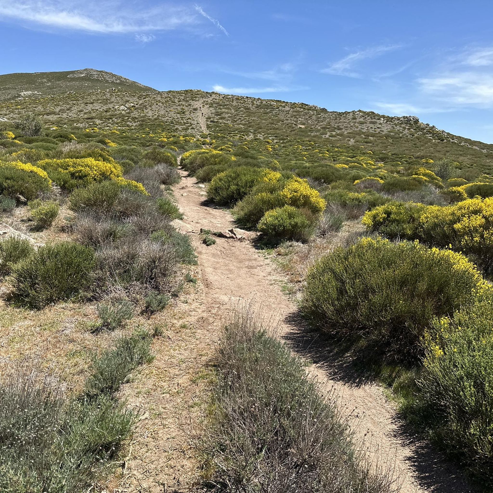
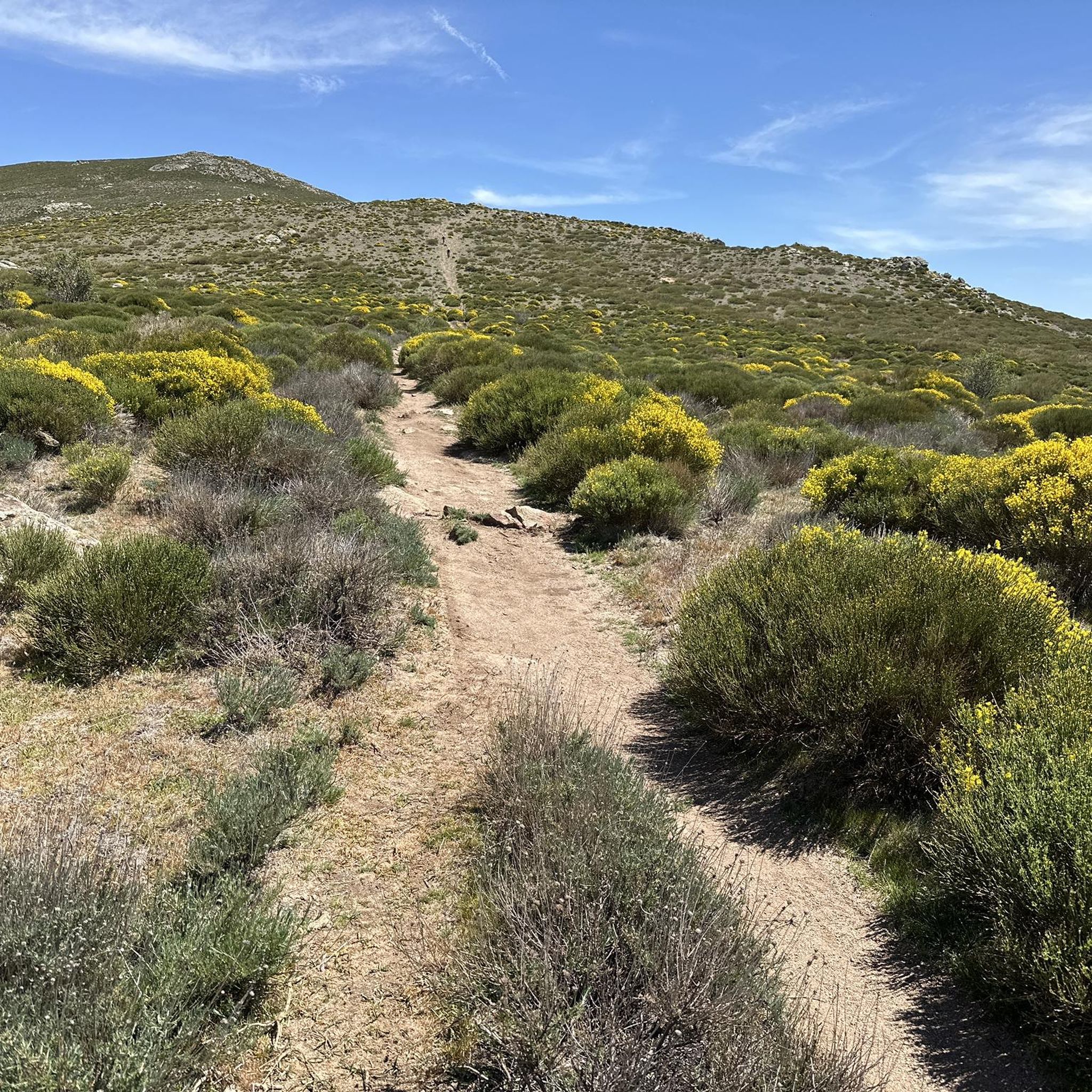
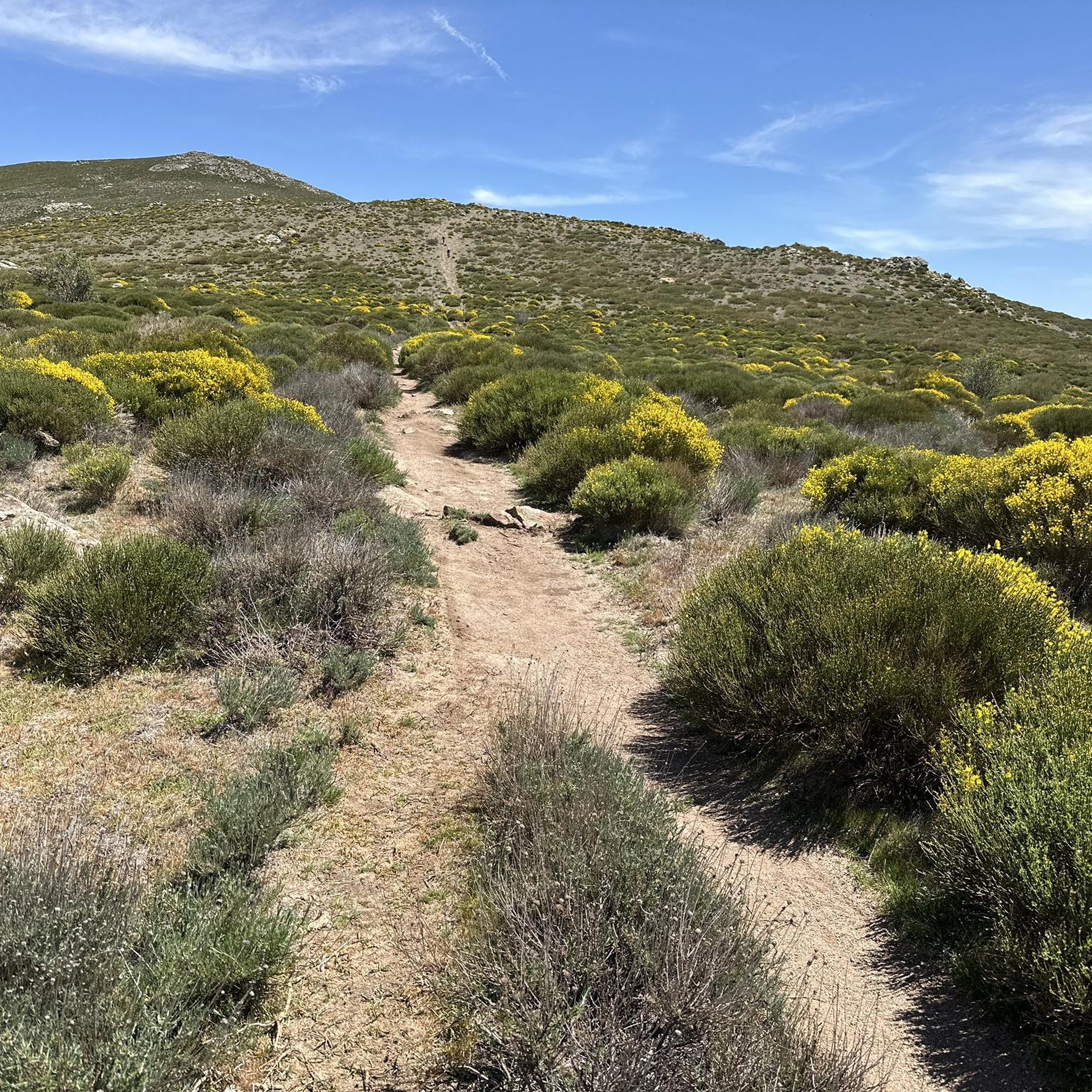
Cabeza de la Braña Peak is a prominent geographical point located in the municipality of Bustarviejo, in the Community of Madrid, Spain. This peak is part of the Sierra de Guadarrama, a mountain range offering a landscape of great beauty and natural beauty. With an altitude of approximately 1,770 meters, Cabeza de la Braña is a popular destination for hikers and nature lovers. On this occasion, we will cross the open and closed passes, leaving the peak at our side. You can see other peaks of the Sierra de Guadarrama, such as the Sierra de la Cabrera and the Lozoya Valley, as well as the rural landscapes surrounding Bustarviejo.
0
0

Port suitable for beginners who want to get in shape
0
0

Always go out prepared. Don't forget to pack a beer in your backpack.
0
0
Frequently Asked Questions
How many hiking trails are available in Bustarviejo?
Bustarviejo offers a wide variety of hiking options, with over 50 trails to explore. These routes cater to different fitness levels, ranging from easy walks to more challenging mountain ascents.
Are there any family-friendly hiking routes in Bustarviejo?
Yes, Bustarviejo has trails suitable for families. While specific 'easy' routes are fewer, many moderate trails can be enjoyed by families looking for a pleasant walk amidst nature. The diverse landscapes, including forests and streams, provide an engaging environment for all ages.
What kind of natural features can I expect to see on hikes around Bustarviejo?
The region is rich in natural beauty. You can discover granite formations, dense forests of ash, oak, and holm oak, and significant peaks like Mondalindo. Water features are also prominent, such as the picturesque Purgatory Waterfall and the rare Canencia Birch Forest, home to the Sestil del Maíllo stream.
Are there any circular hiking routes in Bustarviejo?
Yes, many trails in Bustarviejo are designed as circular routes, allowing you to start and end in the same location. For example, the Hiking loop from Bustarviejo is a moderate 8.6-mile path that offers a great experience without retracing your steps.
Can I reach the hiking trails in Bustarviejo using public transport?
Yes, Bustarviejo is accessible by public transport. You can take a bus from Plaza de Castilla in Madrid, with the journey typically lasting between one and one and a half hours, making it convenient for hikers without a car.
What are some notable landmarks or points of interest to explore near the trails?
Beyond the natural landscapes, Bustarviejo offers interesting historical and cultural elements. You might encounter traditional mountain architecture in the village, or explore areas with historical mining relevance. Highlights include the Canencia Pass and the Monastery of El Paular.
Are there any trails that feature waterfalls?
Absolutely! The Sestil del Maíllo Stream and Mojonavalle Slope Trail is a popular moderate route that specifically features a beautiful waterfall, the Mojonavalle Waterfall, as one of its highlights.
What is the best time of year for hiking in Bustarviejo?
Bustarviejo offers enjoyable hiking experiences year-round due to its diverse landscapes. Spring and autumn provide pleasant temperatures and vibrant colors, while summer is ideal for higher altitude treks. Even winter offers unique beauty, especially in areas like the Canencia Birch Forest.
What do other hikers enjoy most about hiking in Bustarviejo?
The area is highly rated by the komoot community, with an average score of 4.7 stars from over 160 reviews. Reviewers often praise the diverse terrain, from granite formations to dense forests and mountain peaks, and the well-marked trails that offer options for all ability levels.
Are there challenging hikes for experienced trekkers?
Yes, for those seeking a challenge, Bustarviejo provides several difficult routes. The Valley of the Torre de la Mina – Mondalindo Summit loop from Bustarviejo is a demanding 7.6-mile path with significant elevation gains, offering panoramic views from the Mondalindo peak.
Can I find trails that lead to mountain peaks with panoramic views?
Definitely. The region is known for its peaks. Routes like the one to Mondalindo, also known as Cabeza del Cervunal, offer extensive vistas of the Lozoya and Hermoso Valleys, and the Sierra de Guadarrama. Other peaks like Cabeza de la Braña and Cabeza Arcón also provide stunning views.
Are there any trails that pass through unique forest types?
Yes, the area boasts unique forest environments. The Canencia Pass – Mojonavalle Forest loop from Puerto de Canencia will take you through the rare Canencia Birch Forest, a beautiful place to walk year-round, featuring unique species like yew, pine, and holly.
Most popular routes around Bustarviejo
Most popular attractions around Bustarviejo

Get inspired with the komoot mobile app


Explore more
Browse the best Hikes in other regions.
