The best running trails around Pinos Genil
4.4
(224)
10,373
runners
371
runs
Jogging routes around Pinos Genil are characterized by their diverse terrain, situated at the foothills of the Sierra Nevada mountains and bisected by the Genil River. The area offers a mix of riverside paths, former tramway routes, and more challenging mountain trails with significant elevation changes. This varied landscape provides opportunities for both gentle runs along fertile plains and demanding ascents into the surrounding hills.
Best jogging routes around Pinos Genil
- The most popular jogging route is View of the…
Last updated: July 5, 2026
75
runners
11.2km
01:12
90m
90m
Moderate run. Good fitness required. Mostly paved surfaces. Suitable for all skill levels.
4.0
(1)
73
runners
13.7km
01:44
430m
430m
Hard run. Very good fitness required. Mostly paved surfaces. Suitable for all skill levels.

Sign up for free
4.4
(7)
406
runners
10.6km
01:07
90m
90m
Moderate run. Good fitness required. Mostly paved surfaces. Suitable for all skill levels.
4.0
(2)
30
runners
5.36km
00:34
50m
60m
Moderate run. Good fitness required. Mostly paved surfaces. Suitable for all skill levels.
24
runners
6.61km
00:54
270m
270m
Moderate run. Good fitness required. Mostly paved surfaces. Suitable for all skill levels.
Get access to more routes and recommendations from other explorers.
Sign up for free
Already have an account?
Our route recommendations are based on thousands of hikes, rides, and runs completed by other people on komoot.
Start today with a free account
Your next adventure awaits.
Login or Signup

Other adventures around Pinos Genil

Tips from the Community

In the natural course of the Genil, this has several points like this along the Granada plain
0
0
From the capital towards the surrounding areas, it always surprises you
0
0

The Genil River naturalizes the center of Granada and gives it a more landscaped feel. It is also a natural corridor to enter or leave the city along its charming banks.
0
0
Around the Acequia Gorda de Genil there is a magnificent park where you can enjoy the spirit of the city and the omnipresent views of Sierra Nevada.
0
0

Lovely and beautiful place, a good stop on the way to regain strength
0
0

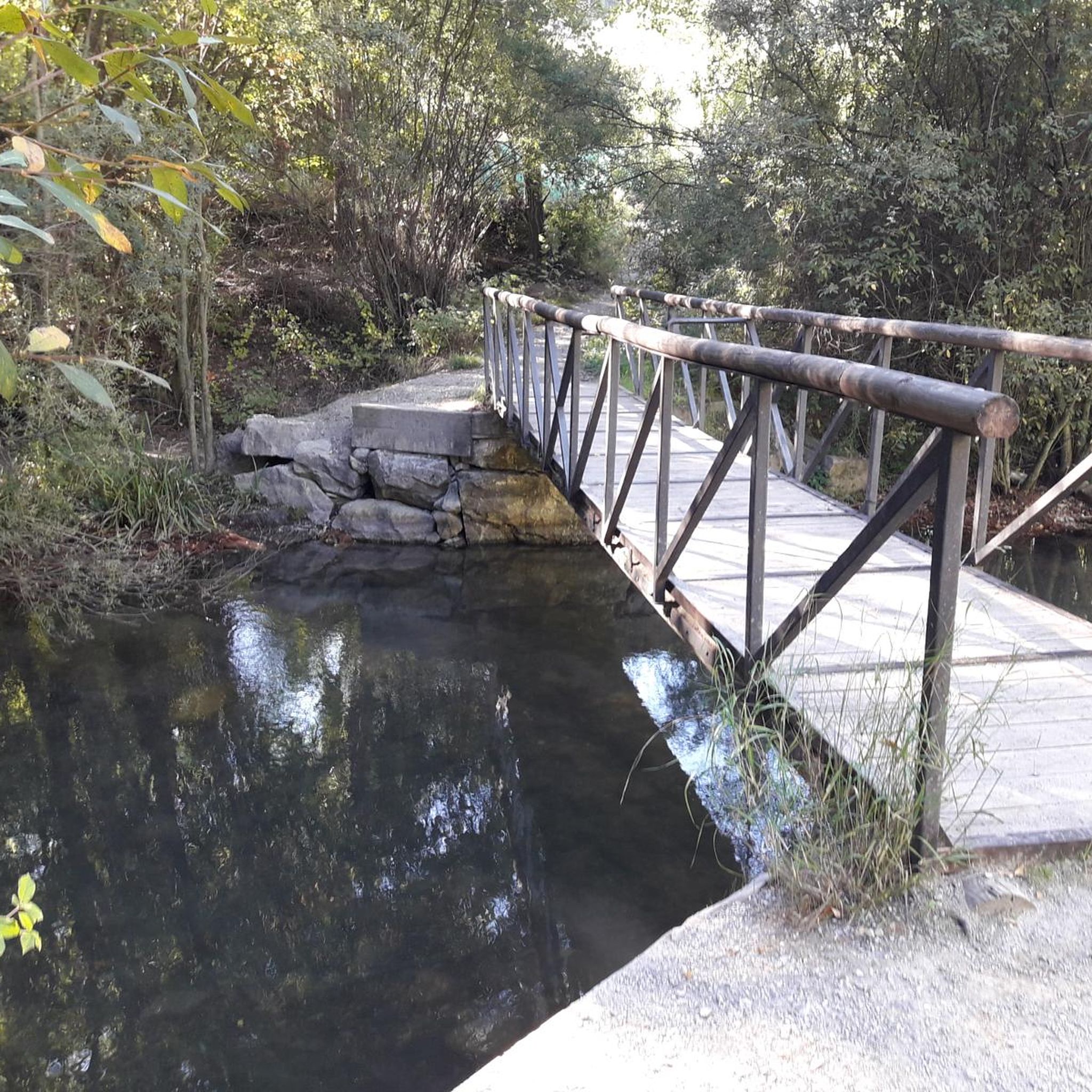
Bridge currently not present. It is not possible to cross the river at this point.
0
0

Stop yes or yes
1
1

There's a long suspension bridge above the waterfall. It's a beautiful spot, but not for those with a fear of heights.
0
0
Frequently Asked Questions
How many running routes are available around Pinos Genil?
There are over 380 running routes around Pinos Genil, offering a wide variety of options for all skill levels, from easy riverside paths to challenging mountain trails.
Are there easy running routes suitable for beginners or a relaxed jog?
Yes, Pinos Genil offers several easy running options. A great choice is the Pinos Genil – Genil River in Pinos Genil loop from Pinos Genil, a 5.4 km trail along the Genil River, perfect for a gentle run. The path connecting Granada city center to Pinos Genil along the Genil River is also relatively flat and shaded, ideal for an easy 8 km (one-way) jog.
What kind of terrain can I expect on running trails in Pinos Genil?
The terrain around Pinos Genil is very diverse. You'll find gentle riverside paths along the Genil River, sections of former tramway routes, and more challenging hilly terrain with significant elevation changes as you venture towards the Sierra Nevada foothills. This mix provides options for both flat, scenic runs and more demanding trail running experiences.
Are there any circular running routes in the area?
Yes, many routes around Pinos Genil are circular. For example, the Kiosk Las Titas – Genil Bridge loop from Cenes de la Vega offers a moderate 10.5 km path following the Genil River. Another popular option is the View of the Alhambra loop from Cenes de la Vega, a more difficult 13.7 km route with panoramic views.
Can I find running routes with scenic viewpoints in Pinos Genil?
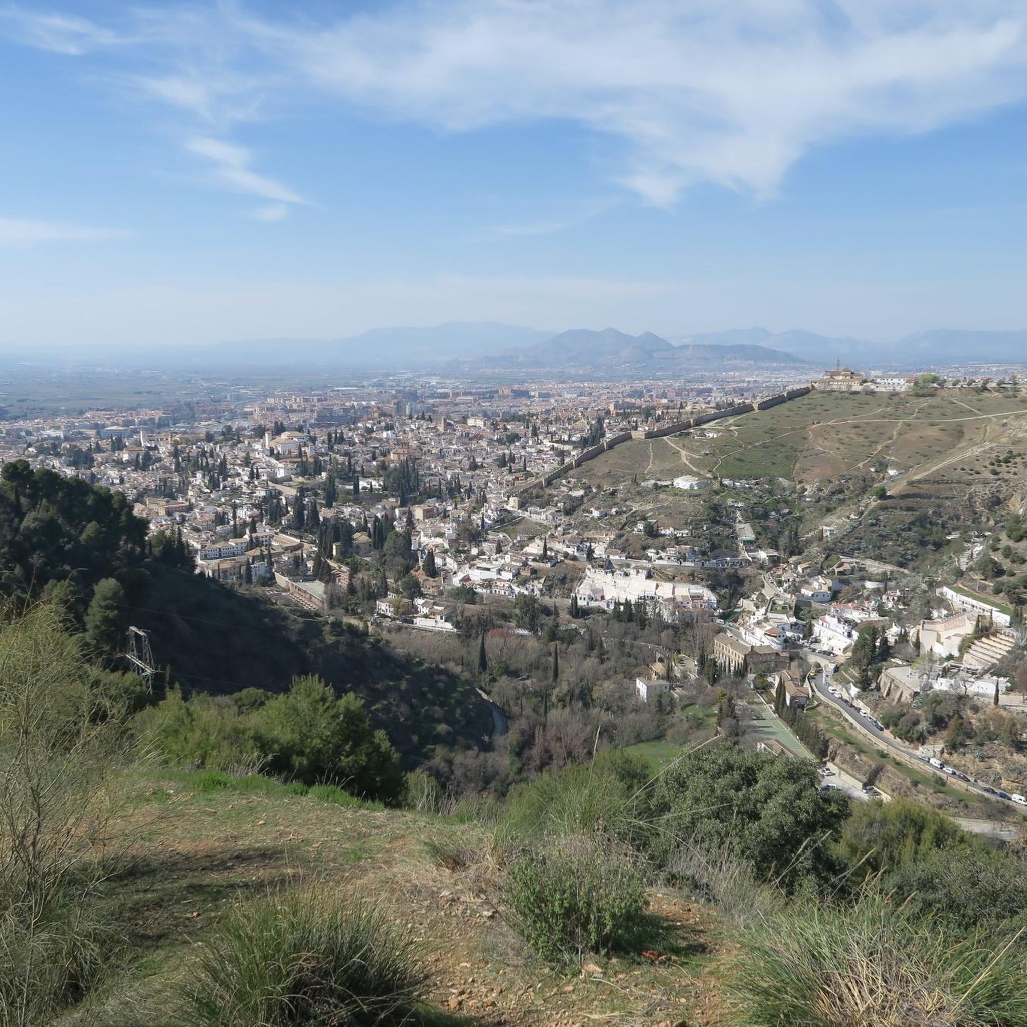
Absolutely. Many routes offer spectacular views, especially those that ascend into the hills surrounding Pinos Genil. The View of the Alhambra loop from Cenes de la Vega is known for its panoramic vistas of the Alhambra and the surrounding landscape. Trails like the Sierra Nevada Trails also incorporate ascents such as the 'Cruz de Pinos' which provide stunning mountain views.
Are there any family-friendly jogging paths in Pinos Genil?
For families, the flatter sections along the Genil River are ideal. The path connecting Granada to Pinos Genil is easy and accessible, offering a pleasant, shaded environment. Shorter loops directly around Pinos Genil, such as the Pinos Genil – Genil River in Pinos Genil loop, are also suitable for a family jog.
What natural features can I expect to see along the running routes?
The Genil River is a central feature, offering numerous riverside paths. You'll also encounter fertile plains, orchards, and the dramatic backdrop of the Sierra Nevada mountains. Some routes, like those near Los Cahorros, feature waterfalls and hanging bridges, adding to the picturesque environment.
Are there any notable landmarks or attractions near the running trails?
Yes, several interesting spots are accessible. The famous Los Cahorros Gorge, Monachil, with its hanging bridges and waterfalls, is a popular attraction nearby. You can also find sections of the old tram line that ran from Granada, now integrated into routes like the Genil River Dam Route, offering historical interest.
What do other runners think about the trails in Pinos Genil?
The running routes in Pinos Genil are highly rated by the komoot community, with an average score of 4.4 stars from over 190 reviews. Runners often praise the diverse terrain, from the peaceful riverside paths to the challenging mountain ascents, and the beautiful scenery, especially the views of the Sierra Nevada.
How can I get to the running routes using public transport?
Pinos Genil is well-connected to Granada. An easy 8 km path connects Granada city center (from Puente Verde) directly to Pinos Genil along the banks of the Genil River, making it accessible for runners using public transport to reach Granada. Once in Pinos Genil, many routes start directly from the village.
Are there options for advanced or challenging trail running?
Definitely. Pinos Genil is a known 'epicenter' for trail running events like the Sierra Nevada Trails, which include 18K, 30K, and 46K races. Routes like the View of the Alhambra loop from Cenes de la Vega are classified as difficult, featuring significant elevation gain and technical sections, perfect for experienced trail runners.
What is the best time of year for running in Pinos Genil?
Pinos Genil offers good running conditions for much of the year. Spring and autumn provide pleasant temperatures for exploring all types of terrain. In summer, the shaded riverside paths, like the one connecting Granada to Pinos Genil, offer a cooler option. Winter can be beautiful, especially in the lower areas, though higher mountain trails may require more preparation due to snow or colder conditions.
Most popular routes around Pinos Genil
Most popular attractions around Pinos Genil

Get inspired with the komoot mobile app


Explore more
Browse the best Running Trails & Routes in other regions.
