The best cycling routes around Navezuelas
5.0
(1)
180
riders
12
rides
Touring cycling around Navezuelas offers routes through the Geopark of Villuercas, Ibores and Jara, an area characterized by its ancient "apalachense" relief. The region features a diverse landscape of mountains, valleys, and forests, with an average altitude of approximately 1,000 meters above sea level. This topography provides varied terrain for cycling, including challenging ascents and scenic descents.
Best touring cycling routes around Navezuelas
- The most popular touring cycling route is Castañar de Ibor from Guadalupe – circular through Real de…
Last updated: July 2, 2026
1
riders
Hard bike ride. Very good fitness required. You may need to push your bike for some segments of this route.
Hard bike ride. Very good fitness required. Mostly paved surfaces. Suitable for all skill levels.

Sign up for free
114
riders
Hard bike ride. Very good fitness required. Mostly paved surfaces. Suitable for all skill levels.
17
riders
57.6km
04:22
1,400m
1,400m
Hard bike ride. Very good fitness required. Mostly paved surfaces. Suitable for all skill levels.
8
riders
65.7km
04:38
1,310m
1,310m
Hard bike ride. Very good fitness required. Mostly paved surfaces. Suitable for all skill levels.
Get access to more routes and recommendations from other explorers.
Sign up for free
Already have an account?
Our route recommendations are based on thousands of hikes, rides, and runs completed by other people on komoot.
Start today with a free account
Your next adventure awaits.
Login or Signup

Tips from the Community

El Alto del Humilladero and Pico Villuercas, near Guadalupe (Cáceres), form one of the most spectacular mountain routes in Extremadura, within the Villuercas‑Ibores‑Jara UNESCO Geopark. It is the highest summit in Extremadura accessible by road.
2
0
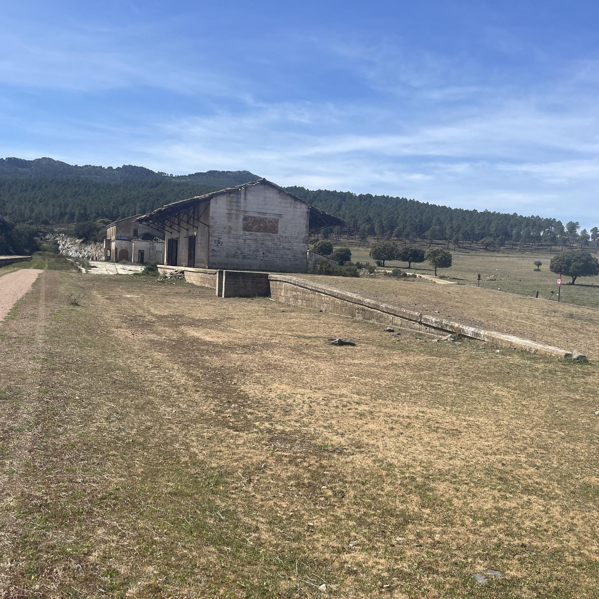
During the twenties and thirties of the last century, a railway route was approved that was intended to connect Badajoz, Madrid, and Huelva, passing through Villanueva de la Serena and Talavera de la Reina. The rugged foothills of the Villuercas proved to be an insurmountable obstacle, leading to the project's abandonment three decades after its inception. As a reminder of that ill-fated project, today we are left with a grandiose viaduct at the gates of Guadalupe, crossing the broken valley of the Guadalupejo from end to end.
5
0

Gives the feeling of being on a film set or somewhere in Mexico. Perhaps not so strange, because the Virgin of Guadalupe is the patroness of Mexico. In the hills, the virgin is said to have been found seven centuries ago. Strictly forbidden to take photos inside the walls, monks walk with the group...
14
1
Arco del Tinte, the Verfpoort, was part of the network of gates that separated the upper and lower town at various points. This gave the population control over security and trade and gave the city the appearance of a medieval fortress.
12
2
An impressive piece of civil engineering from the 20th century. With a length of 274 meters and a maximum height of 58 meters, the bridge stands out with its large arches. Originally, the bridge was intended for the railway line, but the project was halted and the bridge was never put into use.
11
1
The Royal Monastery of Santa María de Guadalupe is a 14th-century monastery located in the Spanish town of Guadalupe, in the province of Cáceres. It was declared a UNESCO World Heritage Site in 1993. Inside, you can appreciate Gothic, Mudéjar, Renaissance, Baroque, and Neoclassical architectural styles. A place with a rich history and breathtaking architectural beauty! 🌟🏰
15
0
It is located between the upper and lower parts of Puebla, within the network of the historic center, near other archways and the medieval quarter. Its name comes from its original function: providing access to the old dye works, belonging to one of the oldest guilds in Puebla. It formed part of the defensive system and controlled trade between the main neighborhoods, offering security and projecting the image of a medieval fortress.
9
0

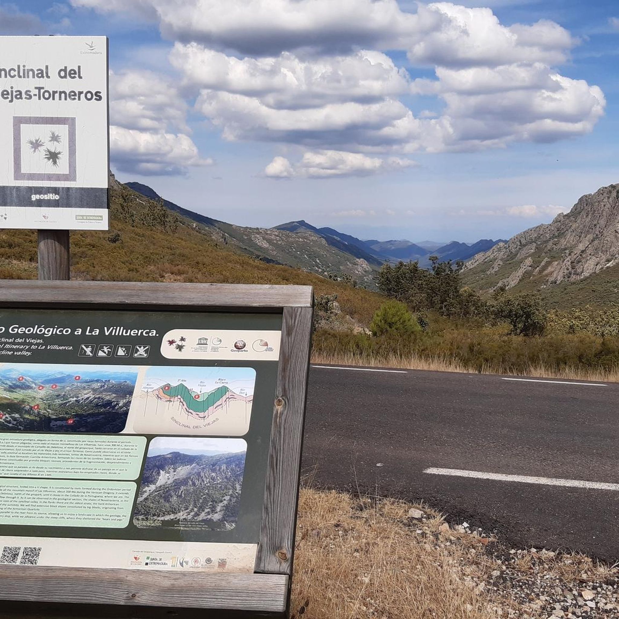
Alto del Humilladero is a short but intense mountain pass, where the road climbs steeply through curves that test your legs. From its summit, you have a wide panoramic view that I'm sure you'll enjoy.
0
1
Frequently Asked Questions
What kind of terrain can I expect on touring cycling routes around Navezuelas?
Touring cycling around Navezuelas features a diverse landscape within the Geopark of Villuercas, Ibores and Jara. You'll encounter an ancient "apalachense" relief with mountains, valleys, and forests. Routes often include challenging ascents, such as the demanding climb to Pico de Villuercas, and scenic descents, with an average altitude of approximately 1,000 meters above sea level.
Are there any challenging touring cycling routes for experienced riders?
Yes, Navezuelas offers several challenging routes. For instance, the Pico Villuercas Summit – Humilladero Pass loop from Ermita del Humilladero is a difficult 22.1 km trail with significant elevation gain, leading through mountainous terrain. Many routes in the region are classified as difficult, catering to experienced touring cyclists.
What natural landmarks or viewpoints can I see along the touring cycling routes?
The region is rich in natural beauty and geological features. You can find stunning viewpoints overlooking the Almonte Valley and the Santa Lucía reservoir. Notable natural landmarks include the Pico Villuercas Summit and Pico Agudo. The River Almonte also carves picturesque valleys through the landscape.
Are there any historical or cultural attractions accessible by touring bike?
Absolutely. The region combines natural beauty with significant historical sites. You can incorporate a visit to the UNESCO World Heritage site, the Royal Monastery of Santa María de Guadalupe, into longer touring routes. The ruins of Castillo de Cabañas also offer historical intrigue and commanding views. Additionally, the impressive Guadalupe Viaduct is another notable architectural structure.
Are there any circular touring cycling routes in Navezuelas?
Yes, many touring cycling routes around Navezuelas are circular, allowing you to start and end at the same point. An example is the Castañar de Ibor from Guadalupe – circular through Real de Guadalupe – Geoparque Villuercas-Ibores-Jara, which is a 67 km loop exploring the Geopark.
What is the best time of year for touring cycling in Navezuelas?
The diverse landscape of Navezuelas makes it suitable for touring cycling across different seasons. Spring and autumn generally offer milder temperatures, ideal for longer rides and enjoying the vibrant flora or changing foliage. Summers can be hot, so early morning or late afternoon rides are recommended. Winter cycling is possible, but be prepared for cooler temperatures, especially at higher altitudes like Pico de Villuercas.
What do other touring cyclists enjoy most about the routes in Navezuelas?
The touring cycling routes in Navezuelas are highly rated by the komoot community, with an average score of 4.0 stars. Cyclists often praise the region's unique "apalachense" relief, the stunning views from various miradores, and the diverse terrain that offers both challenging ascents and scenic rides through river valleys and dense forests.
Are there any touring cycling routes that pass by reservoirs or lakes?
Yes, some routes offer views of the region's water bodies. For example, the View of Guadalupe – Guadalupe Viaduct loop from Navalvillar de Ibor passes near the Santa Lucía reservoir. The Cancho del Fresno Reservoir is also a notable highlight in the area.
Are there any caves or geological formations to explore near the cycling routes?
The Geopark of Villuercas, Ibores and Jara is known for its geological significance. You can find caves like La Chiquita Cave, which offer glimpses into the area's geological past. The Anticlinal del Almonte is another notable geological feature along the River Almonte's course.
What is the longest touring cycling route available from Navezuelas?
One of the longer touring cycling routes is the Guadalupe Viaduct – View of Guadalupe loop from Navezuelas. This route covers approximately 64.1 km and features significant elevation gain, making it suitable for a longer day out on the bike.
Most popular attractions around Navezuelas

Get inspired with the komoot mobile app


Explore more
Browse the best Cycling routes in other regions.
