The best running trails around Polaciones
86
runners
10
runs
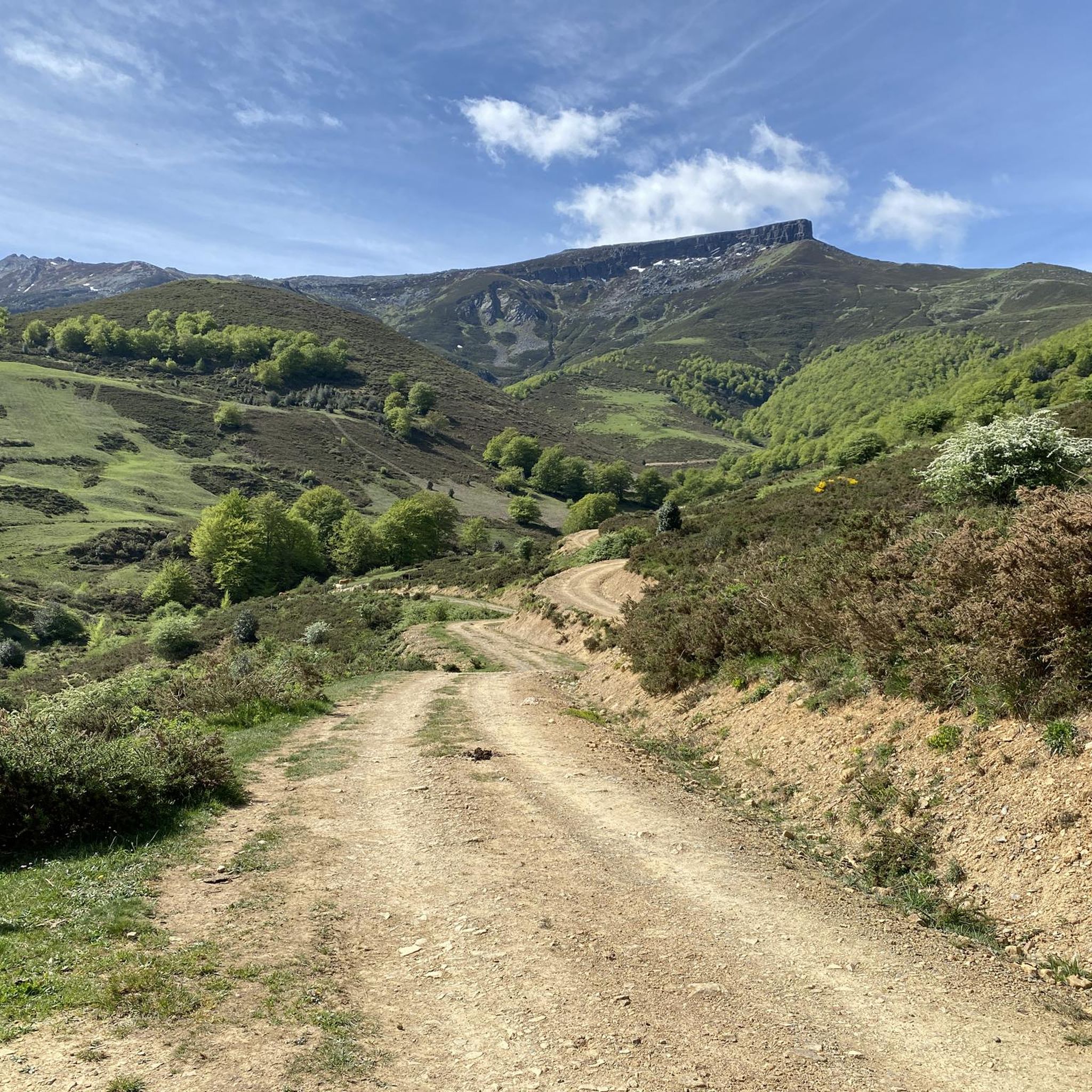
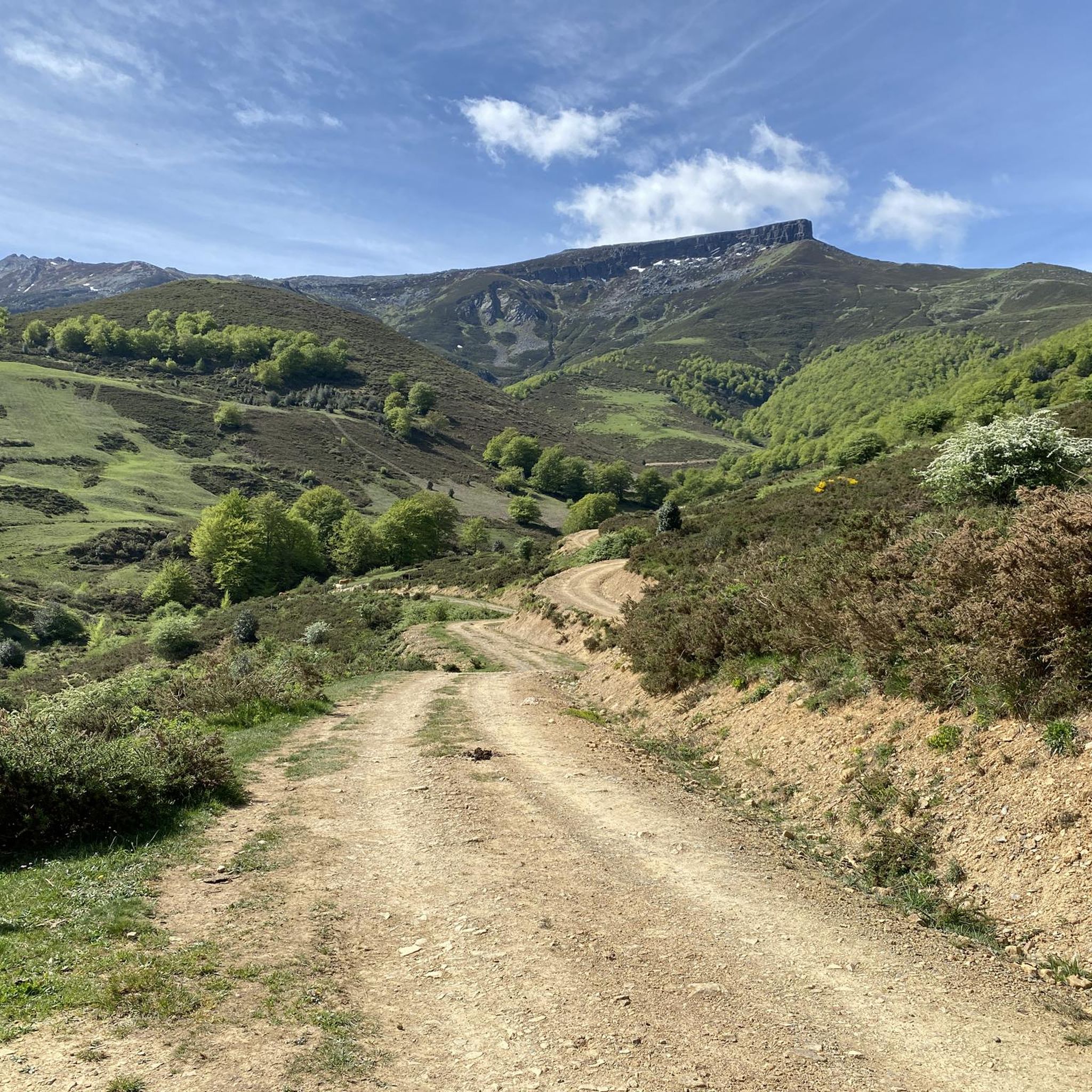
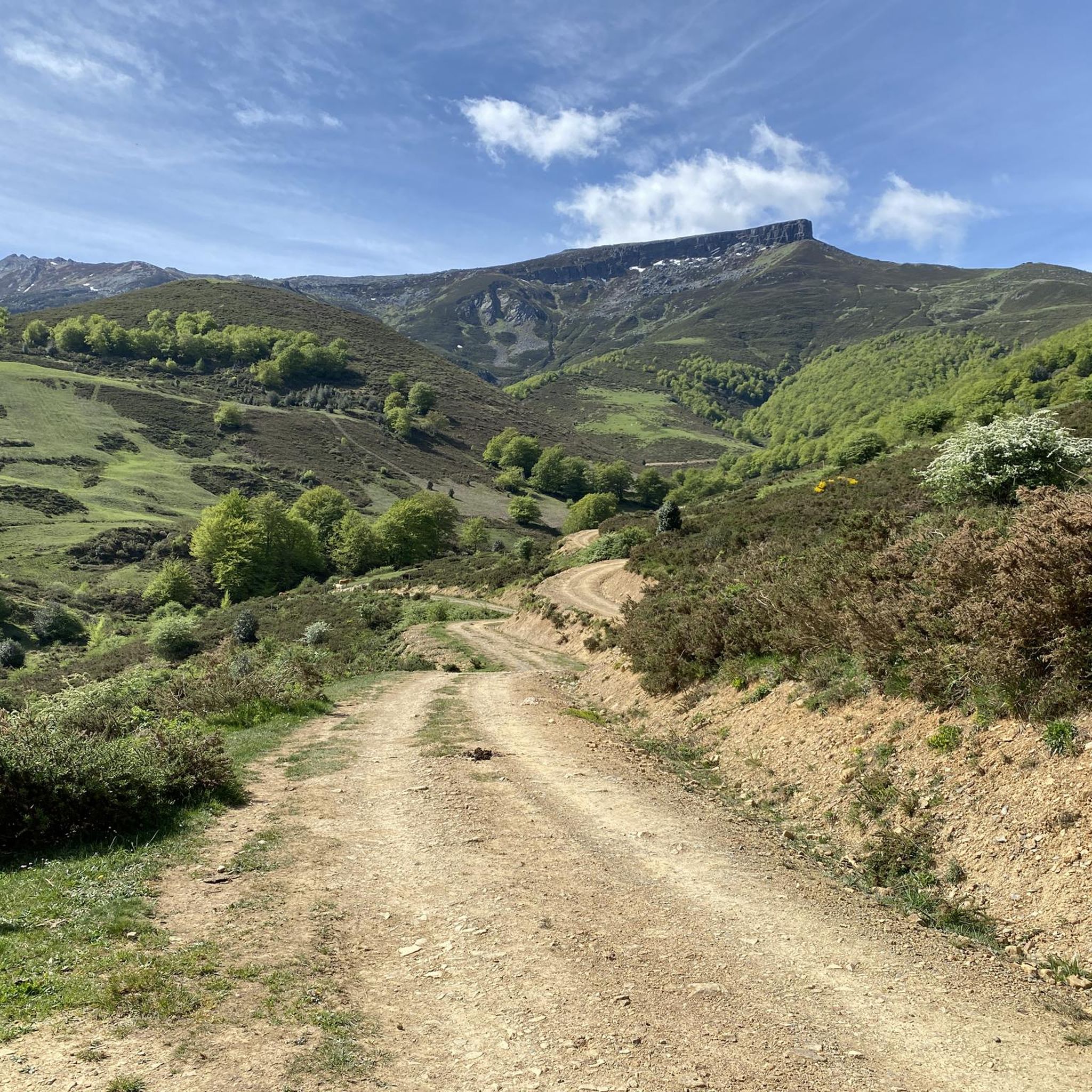
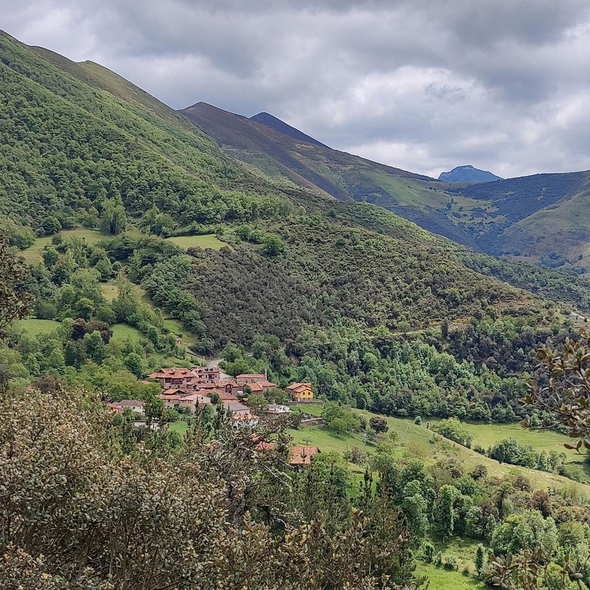
Jogging around Polaciones offers routes through a rugged mountainous terrain in western Cantabria, characterized by significant elevation changes and extensive forests. The region features prominent peaks of the Cantabrian Mountains and deep valleys carved by fast-flowing rivers. Runners can explore diverse landscapes, from challenging ascents to more accessible paths within a well-preserved natural environment.
Best jogging routes around Polaciones
- The most popular jogging route is Nacimiento del río Pisuerga por la Senda de Fuente Cobre (PR-P-8) — circular trailrunning por…
Last updated: July 2, 2026
16
runners
Hard run. Very good fitness required. Mostly accessible paths. Some sure footedness required.
5
runners
Hard run. Very good fitness required. Mostly accessible paths. Some sure footedness required.

Sign up for free
4
runners
8.66km
01:15
350m
350m
Hard run. Very good fitness required. Mostly accessible paths. Some sure footedness required.
44
runners
18.4km
02:56
1,040m
1,040m
Hard run. Very good fitness required. Mostly paved surfaces. Suitable for all skill levels.
4
runners
9.17km
01:20
410m
410m
Hard run. Very good fitness required. Mostly paved surfaces. Suitable for all skill levels.
Get access to more routes and recommendations from other explorers.
Sign up for free
Already have an account?
Our route recommendations are based on thousands of hikes, rides, and runs completed by other people on komoot.
Start today with a free account
Your next adventure awaits.
Login or Signup

Other adventures around Polaciones

Tips from the Community

Spectacular views of the eastern massif of Picos de Europa
0
0

The Pisuerga River rises in the province of Palencia, in the region of Castile and León, Spain. Its source is in the Covarrés glacial basin, between the Valdecebollas peak and the Sierra de Híjar, in a place known as Sel de la Fuente.
3
0

Beautiful road from Puetenansa up to there for road bikes, less traffic
1
0

Viewpoint located in the homonymous hill at more than 1300 meters. From there you can see the Picos de Europa, Peña Labra, the Tres Mares peak, the Cuchillón peak and much more.
2
0
Limestone summit whose classic ascent leaves from the port of Piedrasluengas. This top offers panoramic views of the neighboring mountains such as the Peña Sagra or the Picos de Europa in the distance.
2
0
The Pisuerga River is born in the Cueva del Cobre, a rocky cavity 8.5km long through which you can walk inside without any problem.
2
0

The Piedrasluengas viewpoint is a perfect place to reach by bike. Located in the heart of the Cantabrian Mountains, in the Fuentes Carrionas and Fuente Cobre-Montaña de Palencia Natural Park, it rises to over 1,300 meters above sea level. The views will leave you speechless. You'll see the Picos de Europa, Peña Labra, Tres Mares, Cuchillón, the Liébana Valley, and the Valdeprado Valley.
2
0

At 2029 meters above sea level, the top of Peña Labra is located in a privileged place. It represents the border between the Community of Cantabria and Castilla y León, so to the north you will have impressive views of the Cantabrian interior and the mountains of the Picos de Europa National Park, while to the south you will be able to appreciate another wonderful landscape such as the of the Montaña Palencia Natural Park. Crowning its peak is for the most daring, very technical sectors and not suitable for those who suffer from vertigo, but it has a great reward.
1
0
Frequently Asked Questions
What kind of terrain can I expect on the running routes in Polaciones?
Polaciones offers a diverse and challenging landscape for runners. You'll encounter rugged mountainous terrain with significant elevation changes, extensive beech and oak forests providing shaded paths, and deep valleys carved by fast-flowing rivers. This mix of gradients, natural paths, and varied surfaces is ideal for gradient training and running on mixed terrain.
Are there many running routes available in Polaciones?
Yes, komoot features around 10 dedicated running routes in Polaciones. These routes cater to various preferences, though most are categorized as difficult due to the region's mountainous nature. You'll find options ranging from moderate paths to more challenging trails.
What are some notable natural features or landmarks I might see while jogging in Polaciones?
Polaciones is rich in natural beauty. You can expect to see prominent peaks of the Cantabrian Mountains like Peña Sagra, Pico Tres Mares, and Peña Labra. The region is also part of the Saja National Reserve, offering pristine natural environments. The Piedrasluengas Viewpoint offers stunning vistas, and the La Cohilla reservoir greets visitors at the entrance to Polaciones, enhancing the scenic experience.
Are there any circular running routes in Polaciones?
Yes, there are circular running routes available. For example, the Nacimiento del río Pisuerga por la Senda de Fuente Cobre (PR-P-8) is a circular trailrunning route exploring the Montaña Palentina Natural Park.
What is the typical difficulty level of running trails in Polaciones?
Most running trails in Polaciones are considered difficult. The region's mountainous character means routes often involve significant elevation gain, with some trails featuring over 1000 meters of ascent. While there is one moderate route, the majority offer a challenging experience suitable for experienced runners.
What do other runners say about the trails in Polaciones?
The running routes in Polaciones are highly regarded by the komoot community. Over 80 runners have used komoot to explore the varied terrain, often praising the immersive experience in nature, the dramatic mountain scenery, and the opportunity to jog through ancient oak forests and quaint villages.
Are there any long-distance running options for experienced trail runners?
Absolutely. For experienced trail runners seeking a longer challenge, the Tres Mares Peak – Tres Mares loop from Estación de Esquí y Montaña Alto Campoo is a demanding route spanning over 18 kilometers with more than 1000 meters of elevation gain, offering an enduring and rewarding experience.
Can I find routes that offer panoramic views of the mountains?
Yes, many routes in Polaciones provide spectacular panoramic views. For instance, the Peña Labra y Pico Tres Mares – trail run desde el collado de Fuente del Chivo offers incredible vistas of Peña Labra and Pico Tres Mares.
What kind of natural environment will I experience while running in Polaciones?
You'll be immersed in a well-preserved natural environment. Polaciones boasts lush forests of beech and oak trees, contributing to its rich biodiversity. As part of the Saja National Reserve, the area is committed to conservation, ensuring a wild and unspoiled setting for your runs, with diverse ecosystems and potential wildlife sightings.
Are there any routes that explore specific natural parks?
Yes, some routes venture into significant natural areas. The Nacimiento del río Pisuerga por la Senda de Fuente Cobre (PR-P-8), for example, explores the Montaña Palentina Natural Park, offering varied terrain and spectacular views within a protected landscape.
What is the highest point I might reach on a running route in Polaciones?
Polaciones is characterized by significant elevation, with some peaks exceeding 2,000 meters. Routes like the Tres Mares Peak – Tres Mares loop can take you to high altitudes, offering challenging ascents and breathtaking views from prominent summits such as Tres Mares Peak and Peña Labra.
Most popular routes around Polaciones
Most popular attractions around Polaciones

Get inspired with the komoot mobile app


Explore more
Browse the best Running Trails & Routes in other regions.
