The best cycling routes around La Pernía
4.8
(13)
156
riders
12
rides
Touring cycling around La Pernía is characterized by its varied terrain, including river valleys, elevated plateaus, and forested areas. The region offers a mix of challenging climbs and scenic stretches, with routes often traversing through rural landscapes and past water features like the Ebro River. This area provides a diverse environment for touring cyclists seeking both demanding ascents and picturesque rides.
Best touring cycling routes around La Pernía
- The most popular touring cycling route is Herreruela de Castilleria y San…
Last updated: July 15, 2026
2
riders
Hard bike ride. Very good fitness required. Mostly paved surfaces. Suitable for all skill levels.
29
riders
Hard bike ride. Very good fitness required. Mostly paved surfaces. Suitable for all skill levels.

Sign up for free
9
riders
Hard bike ride. Very good fitness required. Mostly paved surfaces. Suitable for all skill levels.
8
riders
38.5km
02:47
510m
510m
Hard bike ride. Very good fitness required. Mostly paved surfaces. Suitable for all skill levels.
8
riders
66.1km
04:18
860m
860m
Hard bike ride. Very good fitness required. Mostly paved surfaces. Suitable for all skill levels.
Get access to more routes and recommendations from other explorers.
Sign up for free
Already have an account?
Our route recommendations are based on thousands of hikes, rides, and runs completed by other people on komoot.
Start today with a free account
Your next adventure awaits.
Login or Signup

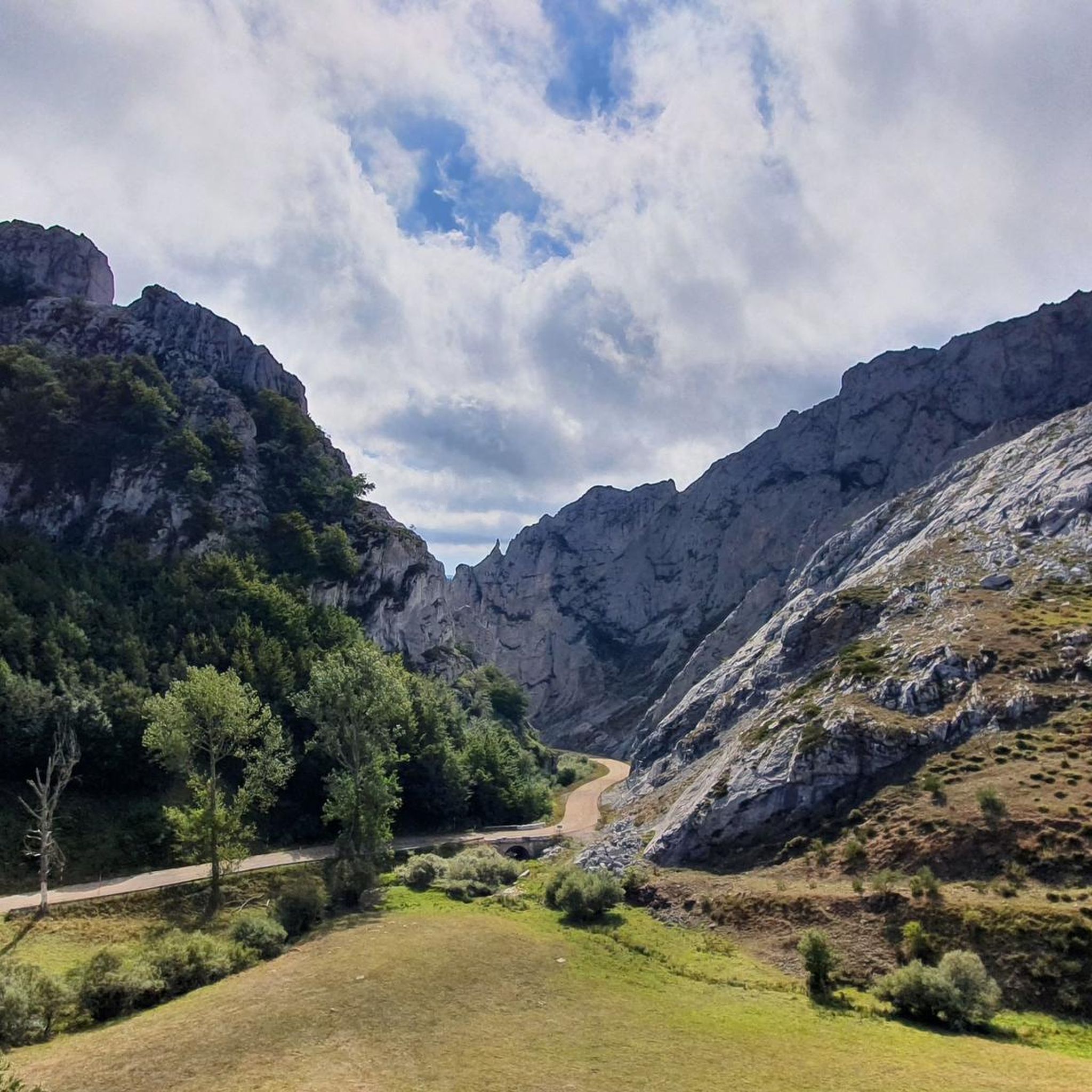
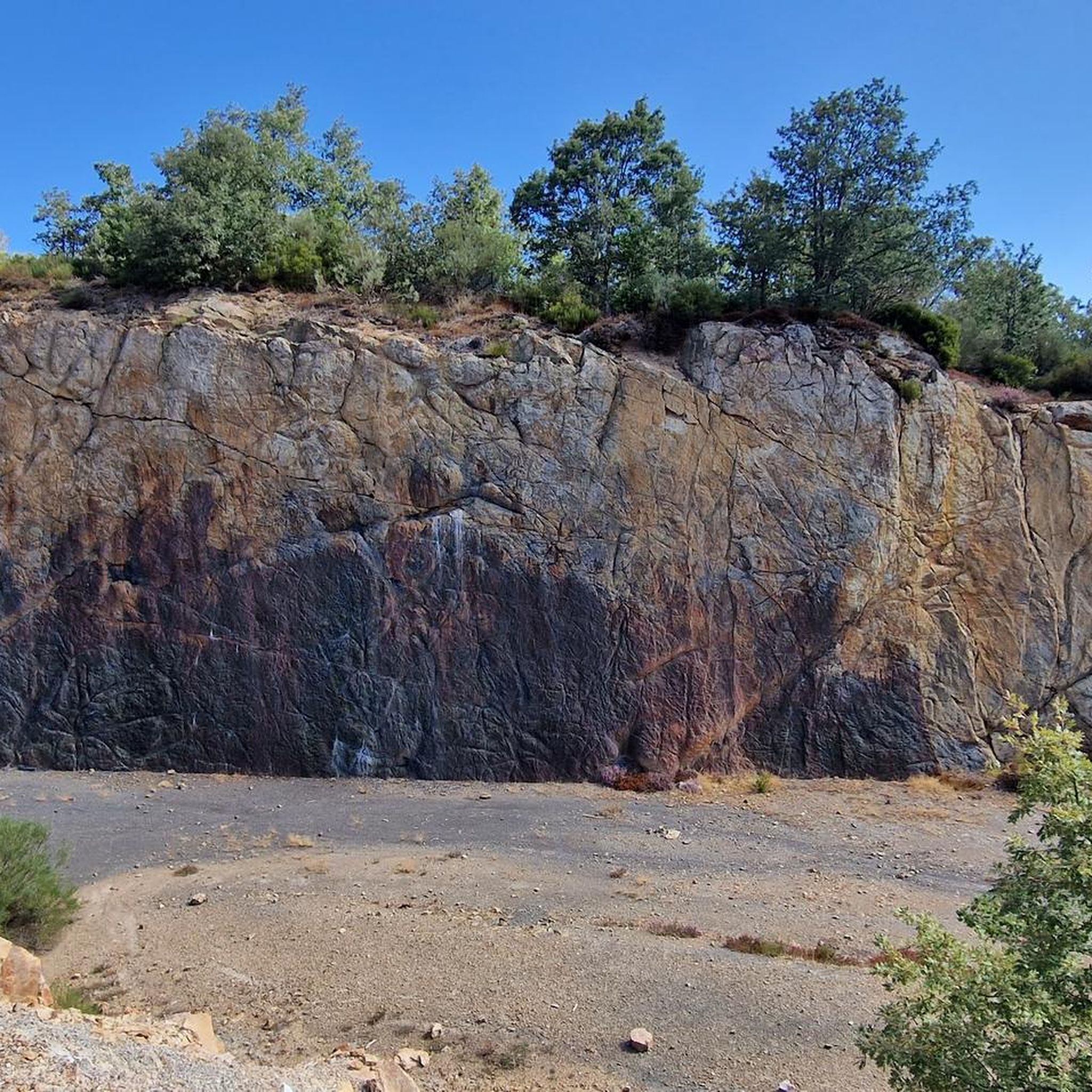
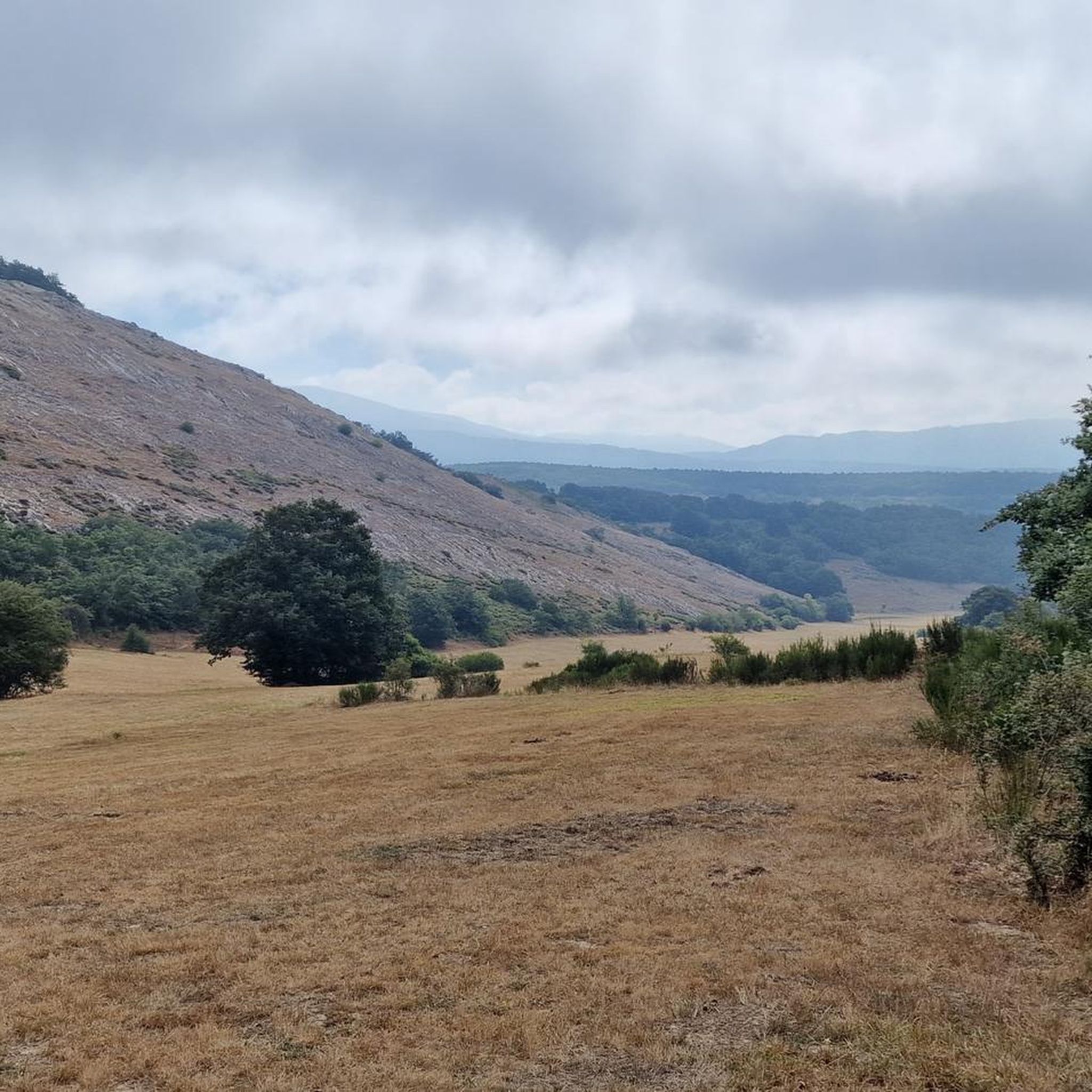
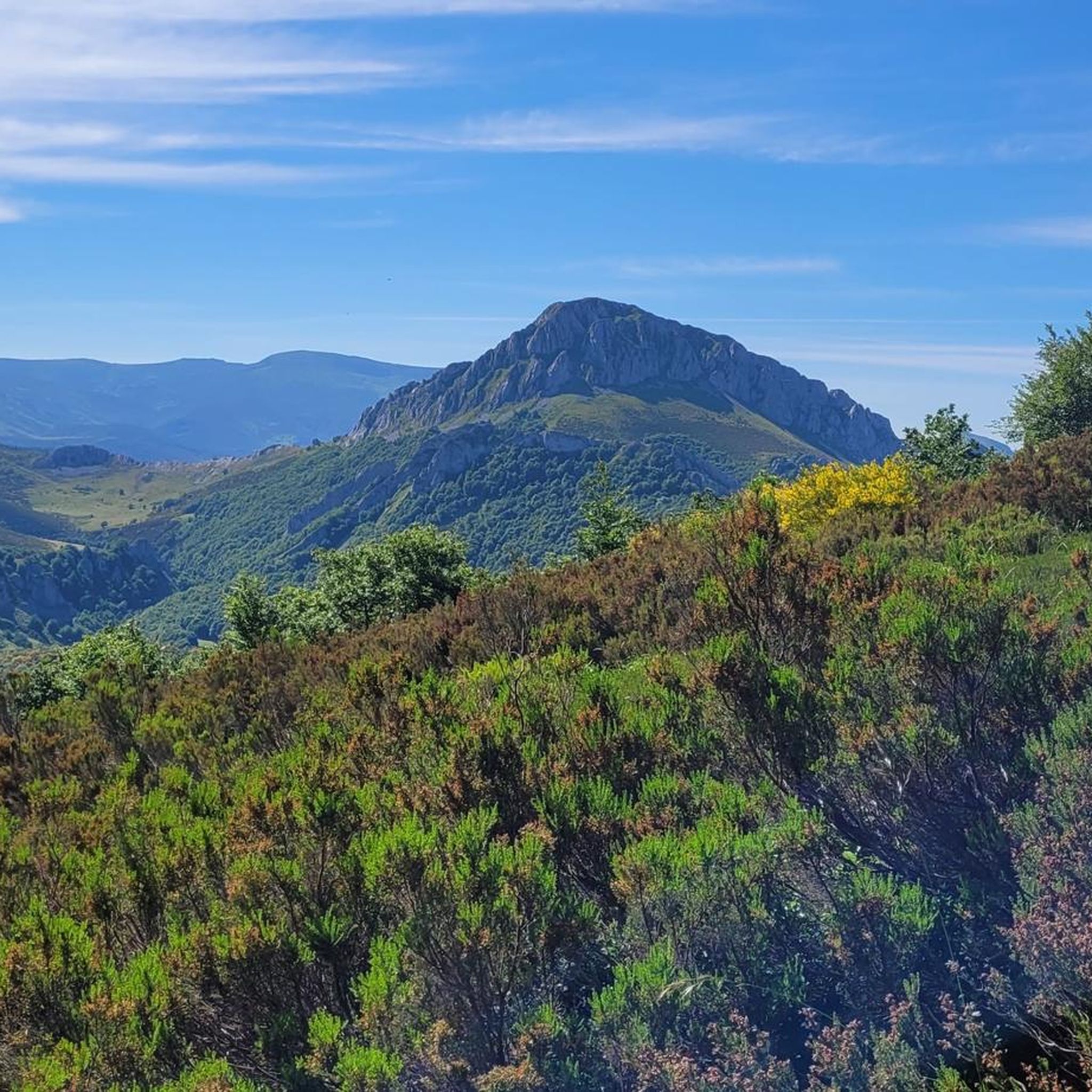
Other adventures around La Pernía

Tips from the Community

Beautiful wooden suspension bridge of Cervera de Pisuerga.
0
0

The Plaza de España in Reinosa is, like in so many others, a meeting place and a venue for celebrations. Don't miss visiting it and, if you have time, relaxing on one of its terraces trying some of the local tapas.
0
0
It is a small bridge that crosses the waters of the Rubagón river. On one side there is a clearing with information panels. A perfect spot for a short stop on your route.
0
0

We set out with the hope of ascending to the summit of Tresmares, where the Hijar-Ebro River begins and flows into the Mediterranean, the Pisuerga River (a tributary of the Duero River) flows into the Atlantic, and the Nansa River flows into the Cantabrian Sea. But a thick, damp fog covering the landscape forced us to give up and head back down the same way we came up. The road is partially covered by a bike lane and very little traffic. A steady climb of around 10%. Absolutely recommended. A few years ago, the Alto Campoo pass was the final stage of La Vuelta a España.
0
0
Officially, it's the source of the Ebro River, in Fontibre. However, according to what we were told at the tourist office, the waters of the spring pools come underground from the Hijar River, which rises in Alto Campoo. Specifically, in Tresmares, where the Hijar-Ebro begins, flowing into the Mediterranean; the Pisuerga (a tributary of the Duero) flows into the Atlantic; and the Nansa flows into the Cantabrian Sea.
0
0

The Bear Trail in Cervera de Pisuerga is a circular hiking route of approximately 11 kilometres. It begins at the San Roque bridge and follows the right bank of the Pisuerga River, passing through the village of Arbejal and reaching the Requejada reservoir.
5
0

How hard would life be in those 8th, 9th and 10th centuries? Hope... a small hermitage dug into a rock and the tomb? as close as possible to the altar, as close as possible to Christ, when the end of the world and the resurrection of the dead arrived. It... overwhelms me.
1
0

The visit to the neighborhoods of San Pedro and Santa María is worth it for the heritage and landscapes but it has a price on the legs, you have to climb Monte de la Ruya again to connect with the main itinerary and overcome the infernal slope that We saw before the detour, which also has a trap because after a short descent there is another similar section to a hill, the prize is fantastic views of the Palentina Mountain. The road enters the meadows and mountains of La Ojeda again and there is a fun stretch, climbing the GPS average for several kilometers until Dehesa de Montejo, where the detour for the Perazancas variant comes out on the left. The route continues to the right, crosses the Cervera de Pisuerga road and climbs the slope of Peña Umoma to a hill that finally marks the entrance to the Pisuerga valley through the beautiful valley of Valdeados. The descent ends in Vado, it is noon, time for a snack but there is no bar or grocery store. Cervera is three kilometers away but it is the place where we plan to finish the stage and we decided to continue and spend the afternoon with the energy bars. The path continues along the charming bank of the Pisuerga River, favorable terrain, river landscape, good climate and change of environment. On the route there are yellow arrows of the Camino Olvidado or Camino de la Montaña, a Camino de Santiago very popular in the 12th and 13th centuries, starting from Bilbao, running along the southern slope of the Cantabrian Mountains and connecting with the Camino Francés in El Bierzo. In Barcenilla de Pisuerga, the milestones of the Natural Trail cross the Pisuerga River via a pedestrian walkway and change course, beginning the climb through the Mudá valley until the connection with the GR-1. The climb begins in Rueda de Pisuerga, the route passes by the church of San Cristóbal, which preserves the Romanesque doorway from the 12th century, and continues through Vallespinoso de Cervera to San Cebrián de Mudá, a town with a mining tradition and the last town on the Natural Trail of the Palentine Romanesque. In the square there are some wagons from the mining era, when the Cok Coal Route was the main economic channel of the valley. The church of San Cornelio and San Cipriano is on a hill, is Romanesque from the 13th century and was declared a Site of Cultural Interest in 1993. The climb to the Historical Trail passes through the European Bison Interpretation Center, runs through a mountain oak grove and ends at a small hill below the imposing Valdecebollas (2,143 m), entrance to the La Pernía valley and the upper Pisuerga. The views are stunning. The end of the stage is Cervera de Pisuerga, with accommodation, camping and complete services. The final stretch to complete a great day of gravel cycling continues through the Castillería valley and at the Estalaya crossroads, where the climb to the Verdeña Fossil Forest is, a path leaves on the left that leads to Vañes off the road. In this section it is important to have the track downloaded because there are no milestones on the route. You must continue along the road for about 500 meters towards Cervera and at the fork of the road take a detour to the left towards Rabanal de los Caballeros and Valdasornín. The rest of the way follows the road that goes down to the urban complex of Cervera de Pisuerga.
0
0
Frequently Asked Questions
Are there any easy touring cycling routes in La Pernía?
While most touring cycling routes in La Pernía are considered difficult, there is at least one easy route available. This route is suitable for those looking for a less strenuous ride through the region's varied terrain.
What kind of challenges can I expect on touring cycling routes in La Pernía?
The majority of touring cycling routes in La Pernía are rated as difficult. You can expect significant elevation gains and varied terrain, including river valleys, elevated plateaus, and forested areas. For example, the Brañavieja – Source of the Ebro River loop from Estación de Esquí y Montaña Alto Campoo features over 800 meters of elevation gain.
Can I find circular touring cycling routes in La Pernía?
Yes, La Pernía offers several circular touring cycling routes. A popular option is the Herreruela de Castilleria y San Cebrián de Mudá – circular desde Perapertú, which provides a challenging loop through the local countryside.
What are the typical distances and elevation gains for touring cycling routes in La Pernía?
Touring cycling routes in La Pernía vary in length and elevation. You can find routes ranging from approximately 18 miles (29 km) to over 40 miles (66 km). Elevation gains typically range from around 400 meters to over 800 meters, reflecting the region's challenging and varied topography.
Are there family-friendly touring cycling routes suitable for children in La Pernía?
Given that most routes in La Pernía are rated as difficult, options specifically designed as 'family-friendly' for children are limited. It's advisable to check the difficulty and terrain of individual routes carefully to ensure they are suitable for younger or less experienced cyclists.
When is the best time of year to go touring cycling in La Pernía?
The best time for touring cycling in La Pernía is generally during the spring and autumn months when temperatures are milder and the natural scenery is vibrant. Summer can also be suitable, but be prepared for potentially warmer weather, especially on exposed plateaus. Winter cycling may be challenging due to colder temperatures and potential snow in higher elevations.
Is touring cycling possible in La Pernía during winter?
Touring cycling in La Pernía during winter can be challenging. The region's elevated plateaus and mountainous areas may experience cold temperatures, ice, or snow, especially at higher altitudes. It's recommended to check local weather conditions and route accessibility before planning a winter ride.
What scenic viewpoints or natural attractions can I discover along the touring cycling routes?
La Pernía offers stunning natural beauty. Along your touring cycling routes, you might encounter viewpoints like Piedrasluengas Viewpoint, offering panoramic vistas. The region is also home to significant natural features such as the Ebro River, which many routes traverse or pass near, including the Source of the Ebro River – Historic Center of Reinosa loop.
Are there any interesting landmarks or places to explore near the touring cycling routes in La Pernía?
Beyond the cycling routes, La Pernía is rich in natural landmarks. You can explore impressive mountain peaks such as Tres Mares Peak and Peña Labra. There are also several huts and refuges like Golobar Refuge that offer insights into the region's mountain culture.
Where can I find parking at the trailheads for touring cycling routes in La Pernía?
Many touring cycling routes in La Pernía start from villages or established points where parking is typically available. For routes like the Herreruela de Castilleria – Drinking water point loop, starting from Polentinos, you can usually find parking within or near the village. It's always a good idea to check the specific starting point of your chosen route for detailed parking information.
What do other touring cyclists enjoy the most about touring cycling in La Pernía?
The touring cycling routes in La Pernía are highly rated by the komoot community, with an average score of 4.8 stars from over 10 reviews. Cyclists often praise the region's varied terrain, the mix of challenging climbs and scenic stretches, and the opportunity to explore rural landscapes and water features like the Ebro River.
Are there any less crowded touring cycling routes in La Pernía?
La Pernía is known for its rural landscapes, and many touring cycling routes offer a sense of tranquility away from large crowds. While specific 'hidden gems' are not explicitly listed, exploring routes that start from smaller villages or venture deeper into the natural park areas may offer a more secluded experience.
Most popular attractions around La Pernía

Get inspired with the komoot mobile app


Explore more
Browse the best Cycling routes in other regions.
