The best running trails around Zújar
5.0
(6)
364
runners
61
runs
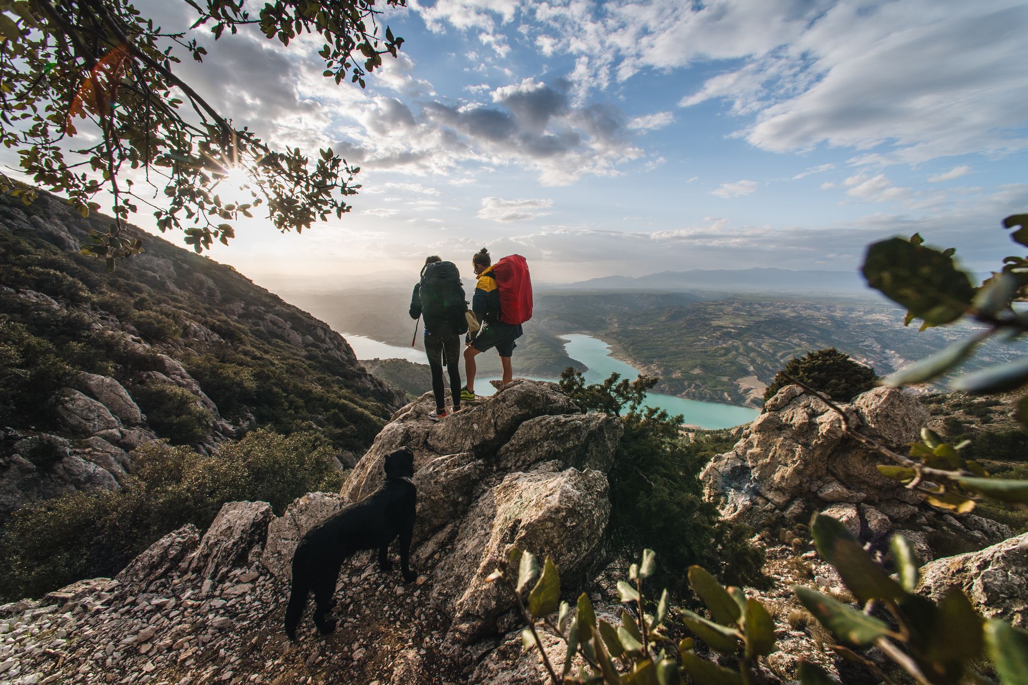
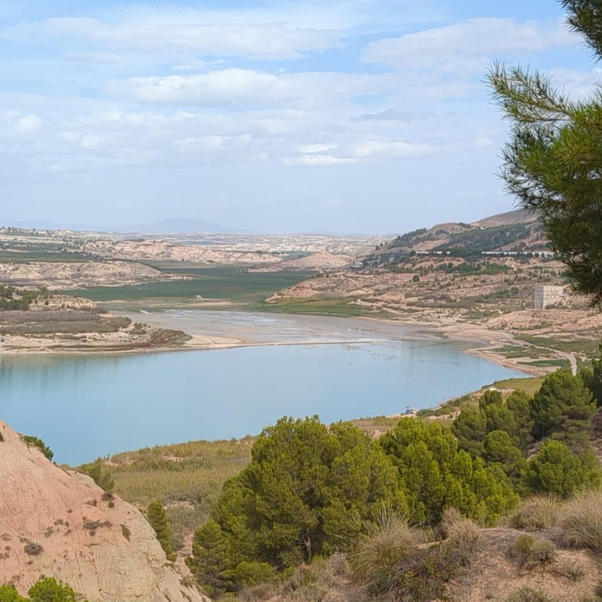
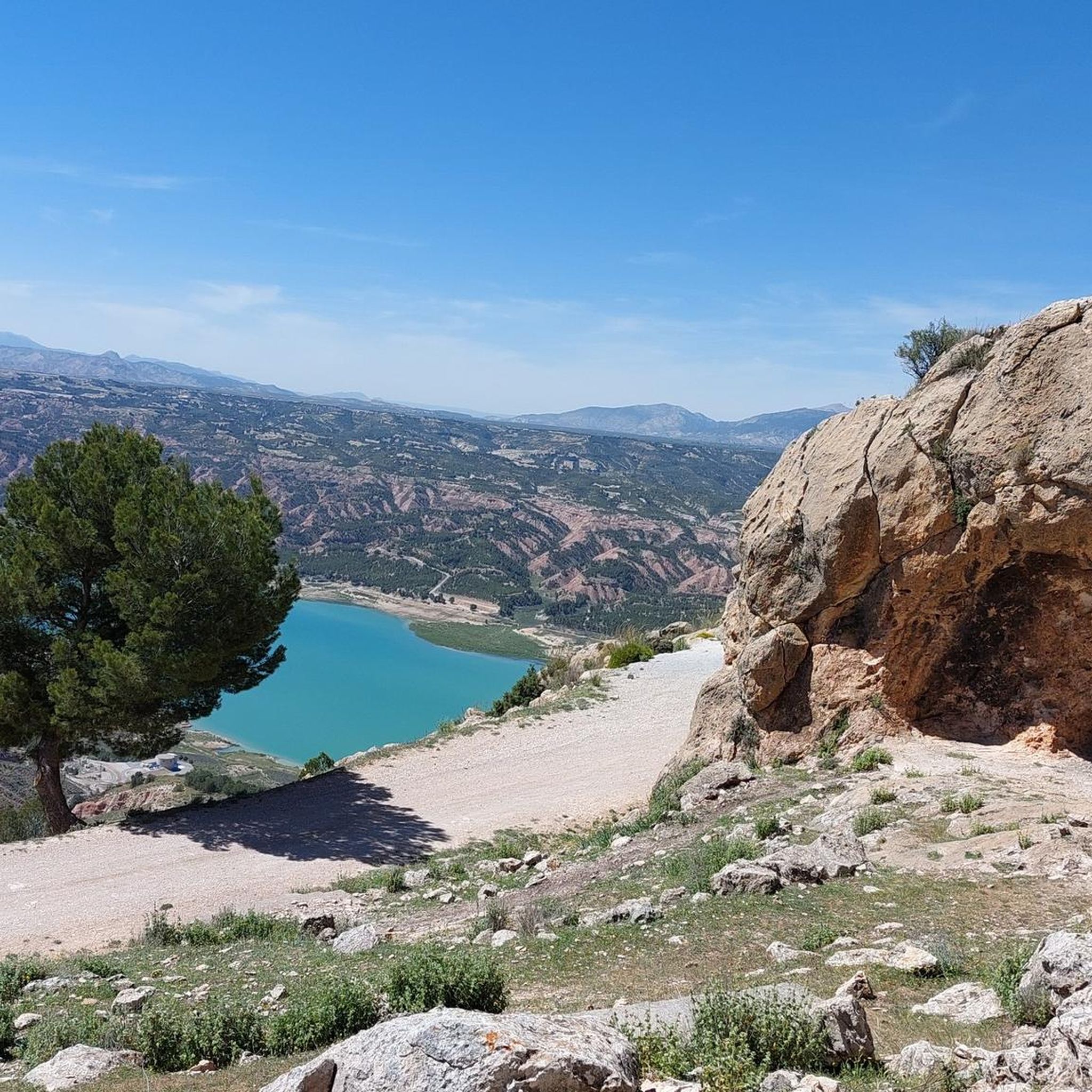
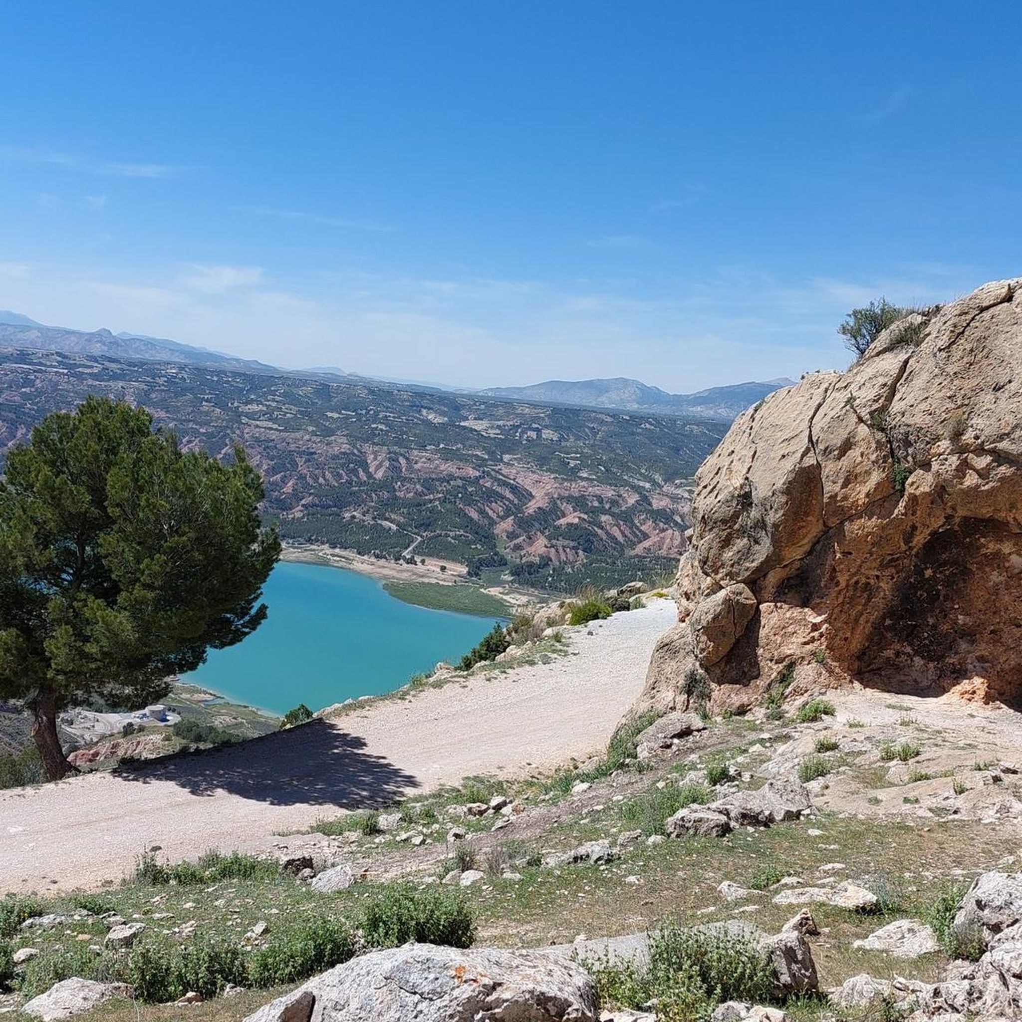
Jogging around Zújar offers diverse terrain, from the prominent Cerro Jabalcón mountain to the shores of the vast Negratín Reservoir. The region is characterized by unique "badlands" geological formations and fertile valleys, providing varied running routes. Pine forests on Jabalcón Mountain offer shaded paths, while the Carramaiza flatlands present gentler options. This varied landscape ensures a range of running experiences for different preferences.
Best jogging routes around Zújar
- The most popular jogging route is Cerro Jabalcón – circular trail running…
Last updated: June 30, 2026
5.0
(1)
5
runners
Hard run. Very good fitness required. Sure-footedness, sturdy shoes and alpine experience required.
14
runners
12.8km
02:04
700m
700m
Hard run. Very good fitness required. Sure-footedness, sturdy shoes and alpine experience required.

Sign up for free
5.0
(1)
13
runners
17.4km
02:34
770m
760m
Hard run. Very good fitness required. Sure-footedness, sturdy shoes and alpine experience required.
10
runners
12.8km
01:20
90m
80m
Moderate run. Good fitness required. Mostly paved surfaces. Suitable for all skill levels.
12
runners
13.9km
01:29
80m
80m
Moderate run. Good fitness required. Mostly paved surfaces. Suitable for all skill levels.
Get access to more routes and recommendations from other explorers.
Sign up for free
Already have an account?
Our route recommendations are based on thousands of hikes, rides, and runs completed by other people on komoot.
Start today with a free account
Your next adventure awaits.
Login or Signup




Tips from the Community

It's not possible to cross the bridge with a three-wheeled bike. You have to go through the riverbed underneath. The day we went, there were three large dogs running loose :-/
0
0

Baza is a city whose municipal area is the largest in the province of Granada, whose population centers depend on it: Baúl (where the section of the greenway begins), La Jamula and Benacebada.
6
0

Everything is going well until the Vía Verde draws a large arc towards the south, enters the large channel of the Rambla de Baza and the Caniles iron bridge appears. The central planks have disappeared and you have to walk carefully along the sides. A sign at the entrance to the bridge recommends the parallel lane to avoid unnecessary risks. The tall chimney of the old Nuestra Señora de las Mercedes sugar factory announces the arrival at the Caniles station, which had an important weight in railway trade from its inauguration, in 1894, until the middle of the 20th century, when the decline of the road that connected Andalusia and the Levant. The buildings have been restored and converted into the Geodiversity Interpretation Center of the Granada Altiplano. In Baza you have to leave the route of the Greenway and visit the historical complex, passing by the Fuente de los Caños Dorados, the Plaza Mayor, the Barrio de San Juan, the alleys of the Jewish quarter, the Old Butcher Shops, the Arrabal de Marzuela , even entering the Arab Baths, and taking the opportunity to have some local delicacies and recover energy for the rest of the stage.
0
0
Capricious nature that, in hundreds of thousands of years, has eroded a natural element of unmatched beauty.
1
0

The Bastetano municipality is the largest in all of Granada and includes the population centers of Baza (municipal, regional capital of the entire Granada Altiplano and seat of its own judicial district), Baúl, La Jamula, Río de Baza and Benacebada. The city has a rich historical and artistic heritage that reflects its different cultures. Its shield and flag are official symbols that represent its history and tradition. 🌿🏰
1
0

It is a monumental town with a great historical and artistic heritage of the different cultures that have inhabited the area over time. It is located at an altitude of 844 meters within the Sierra de Baza Natural Park. This city played an important role during Roman Hispania, being a point of commerce and exchange of goods. In turn, it was also an important population center in the al-Andalus period.
4
0

With more than 20,000 inhabitants, Baza is the largest municipality in the province of Granada. Both in Baza and in the surrounding area, you can visit numerous cultural and natural jewels, such as the Ibero-Roman city of Basti, the Benzalema castle and the Sierra de Baza natural park.
1
0

The access is blocked by a fence about 200 meters before because it's pretty tricky to cross the bridge from above but on the left you have an escape path, very steep but safe.
2
0
Frequently Asked Questions
How many running routes are available in Zújar?
Zújar offers a wide selection of running routes, with over 45 trails available for exploration. These range from easy paths to more challenging runs, catering to various fitness levels.
What kind of terrain can I expect on running trails in Zújar?
Jogging in Zújar provides a diverse range of terrains. You can expect mountainous inclines around Cerro Jabalcón, scenic paths along the shores of the Negratín Reservoir, and unique 'badlands' geological formations. There are also shaded pine forests and flatter agricultural areas like the Carramaiza flatlands for gentler runs.
Are there running routes suitable for beginners in Zújar?
Yes, Zújar has several running options suitable for beginners. While many routes are moderate, there are at least 2 easy trails available, perfect for those new to running or looking for a more relaxed pace.
What are some of the more challenging running options in Zújar?
For experienced runners seeking a challenge, Zújar offers 5 difficult routes. One notable option is the Piedra del Baño loop from Embalse del Negratín, which covers 12.8 km with significant elevation changes. Another demanding trail is the Canal de Jabalcón loop from Cuesta del Raedor, spanning nearly 17.4 km.
When is the best time of year to go jogging in Zújar?
Zújar's climate makes it suitable for jogging for much of the year. Spring and autumn generally offer the most pleasant temperatures for outdoor activities. Summer can be hot, so early morning or late evening runs are advisable, while winter offers cooler, crisp conditions, especially on trails with less exposure.
Are there any scenic viewpoints along the running routes?
Absolutely! Many running routes in Zújar offer breathtaking views. The slopes of Cerro Jabalcón provide panoramic vistas of the surrounding region and the Negratín Reservoir. You can also find stunning perspectives from the Narváez Viewpoint, which is a highlight in the area.
What natural attractions can I see near the jogging paths?
Beyond the stunning landscapes, you can encounter several natural attractions. The unique 'badlands' formations of the Granada Geopark are a highlight. You might also come across the Fountain of Health or the intriguing Ojo de la Heredad. The Gorafe Desert Canyons are also a notable geological feature nearby.
Are there circular running routes in Zújar?
Yes, Zújar features several excellent circular running routes. A popular option is the Cerro Jabalcón – circular trail running from Zújar with views of the Negratín Reservoir, which is a 12.5 km loop offering spectacular scenery.
Is parking available near the running trails in Zújar?
While specific parking details vary by trailhead, Zújar is generally well-equipped for visitors arriving by car. Many trailheads, especially those leading to popular areas like Cerro Jabalcón or the Negratín Reservoir, have designated parking areas or roadside spots suitable for leaving your vehicle.
Are there family-friendly jogging routes in Zújar?
Yes, Zújar offers routes that are suitable for families. Look for the 'easy' or 'moderate' difficulty trails, which often have gentler inclines and shorter distances. The old railway paths, part of the Via Verde, Baza - Baúl, provide a relatively flat and scenic option that can be enjoyable for all ages.
Are dogs allowed on the running trails in Zújar?
Generally, dogs are welcome on many outdoor trails in Zújar, especially in natural areas. However, it's always recommended to keep your dog on a leash, especially in protected areas or near wildlife, and to clean up after them. Specific rules might apply in certain reserves, so checking local signage is advisable.
What do other runners say about the trails in Zújar?
The running trails in Zújar are highly regarded by the komoot community, boasting an impressive average rating of 5.0 stars from over 7 reviews. More than 200 runners have used komoot to explore the area, often praising the varied terrain and stunning natural beauty, particularly the views of the Negratín Reservoir and the unique geological formations.
Most popular attractions around Zújar

Get inspired with the komoot mobile app


Explore more
Browse the best Running Trails & Routes in other regions.
