The best MTB trails around Sant Vicenç De Montalt
4.5
(605)
7,112
riders
199
rides
Mountain biking around Sant Vicenç De Montalt offers diverse landscapes, blending coastal plains with mountainous terrain. The region extends from the Mediterranean Sea up to the peak of Montalt at 596 meters, forming part of the Serra del Corredor foothills. Trails often traverse dense forests of pine, holm oak, and cork oak, featuring varied elevations and natural rocky formations. This area provides a significant network of mountain bike trails for different skill levels.
Best mountain bike trails in Sant Vicenç…
Last updated: July 22, 2026
5.0
(4)
258
riders
24.6km
03:19
860m
850m
Hard mountain bike ride. Good fitness required. Advanced riding skills necessary. Some portions of the route may require you to push your bike.
5.0
(1)
76
riders
43.0km
02:47
520m
520m
Moderate mountain bike ride. Good fitness required. Suitable for all skill levels.

Sign up for free
5.0
(1)
62
riders
29.6km
03:25
970m
970m
Hard mountain bike ride. Very good fitness required. Advanced riding skills necessary. Some portions of the route may require you to push your bike.
4.1
(7)
62
riders
23.8km
01:58
470m
470m
Moderate mountain bike ride. Good fitness required. Suitable for all skill levels.
4.2
(6)
70
riders
Moderate mountain bike ride. Good fitness required. Suitable for all skill levels.
Get access to more routes and recommendations from other explorers.
Sign up for free
Already have an account?
Our route recommendations are based on thousands of hikes, rides, and runs completed by other people on komoot.
Start today with a free account
Your next adventure awaits.
Login or Signup

Tips from the Community

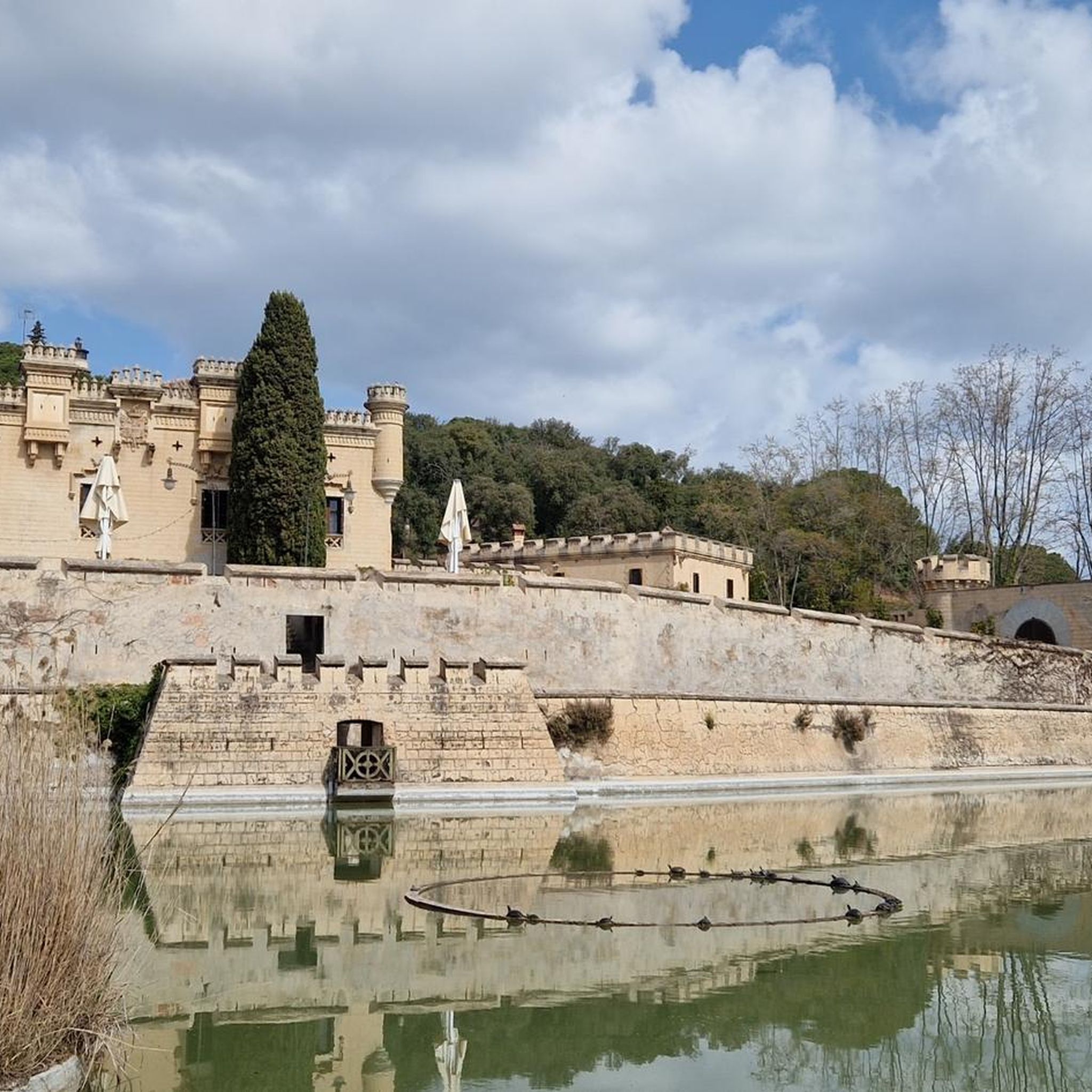
Parc i Font de la Llorita Aquest indret, molt a la vora del centre urbà, va ser des dels anys cinquanta un lloc d'esbarjo per a molts llavanerencs. Al costat de la riera i a l'ombra de les alzines i altres arbres centenaris, es va construir una font i diversos bancs; durant alguns anys, també s'hi instal·lava, a l'estiu, un petit "merendero". Eren moltes, les colles d'amics que als vespres d'estiu es portaven les taules i cadires per anar a sopar sota la fresca dels arbres. També s'hi organitzaven ballades de sardanes i altres actes festius i també era un lloc habitual per als infants de les escoles que hi anaven, la tarda del dijous gras o altres dies, a fer una excursió i berenar. Font: Ajuntament de Sant Andreu de Llavaneres
0
0


More than just a place where people lived, this site stands out because it doesn't quite fit the classic settlement pattern of the area. Its location, nestled between rock and forest, suggests it wasn't a permanent settlement, but rather a site used at very specific times: seasonal migrations, hunting trips, or gatherings of small groups. A unique feature is that the remains of highly fragmented occupations have been documented at this location, suggesting it was a "ritual passage" rather than a long-term encampment. Some scholars even propose that its irregular layout among the rocks could indicate symbolic activities or territorial markers, something uncommon in other sites in the area.
1
0
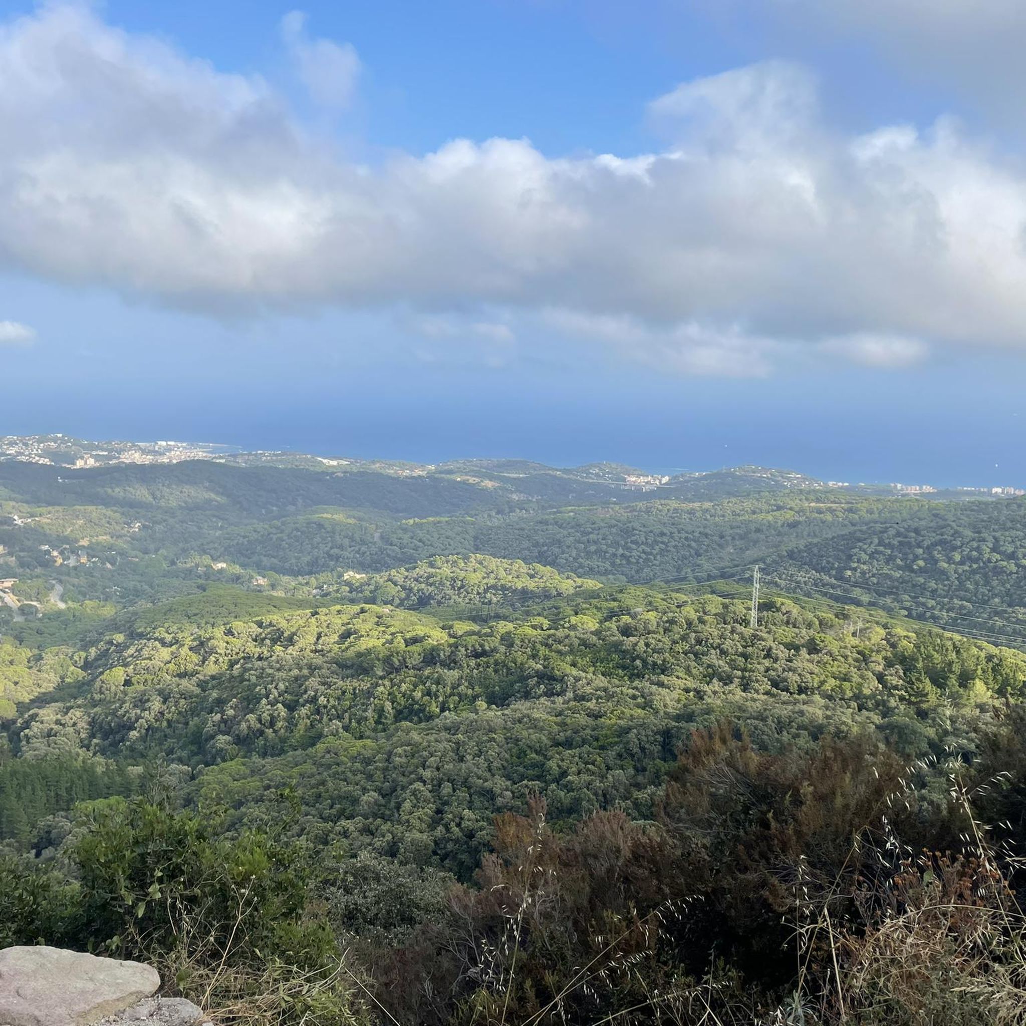
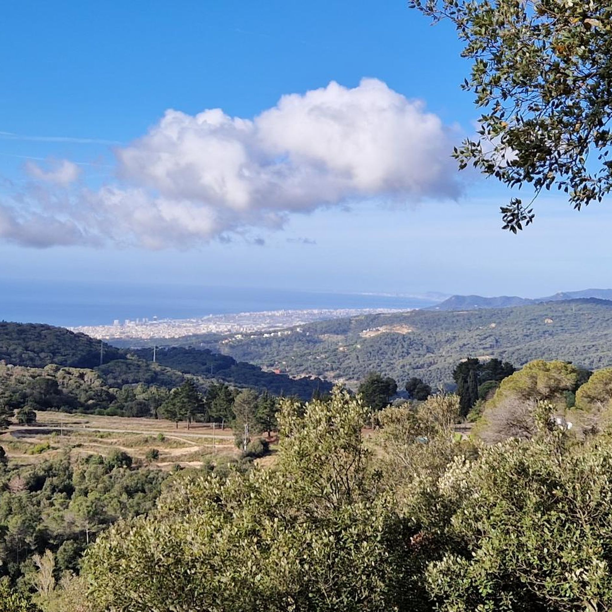
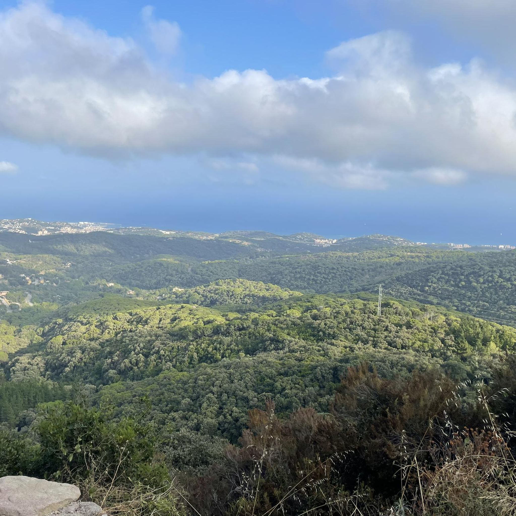
The true epicenter of Maresme enduro. Once you reach the top, it's time to switch gears: you're at the highest point of the system, and a labyrinth of trails and tracks of all levels unfolds before you. There are no rules here: from this central hub, you can drop down towards Sant Vicenç, Llavaneres, Can Boada, Massuet, or wherever your heart desires. Every direction offers a different descent, and all connect to legendary Maresme lines. A word of advice: when you reach Turó de l’Oriola, take a deep breath… and prepare to go wild, because this is one of the few places where you can literally ride down wherever you want.
1
0
The true epicenter of Maresme enduro. Once you reach the top, it's time to switch gears: you're at the highest point of the system, and a labyrinth of trails and paths of all levels unfolds before you. There's no instruction manual here: from this central hub, you can drop down towards Sant Vicenç, Llavaneres, Can Boada, Massuet, or wherever your heart desires. Every direction offers a different descent, and all connect to legendary Maresme lines. A word of advice: when you reach Turó de l’Oriola, take a deep breath… and prepare to go wild, because this is one of the few places where you can literally ride down wherever you want. A perfect spot to get lost—but in a good way.
0
0

Simple... but perfect!! This covered patio with table is perfect for a picnic or a simple rest stop, whether you're on foot 👣, by bike 🚲, or by car 🚗
1
0

Quite a nice and quiet place, its coastal atmosphere gives it a touch.
1
0
Frequently Asked Questions
How many mountain bike trails are available in Sant Vicenç De Montalt?
There are over 200 mountain bike trails around Sant Vicenç De Montalt, offering a wide variety of options for different skill levels and preferences.
What are the general difficulty levels of mountain bike trails in Sant Vicenç De Montalt?
The trails cater to various skill levels. You'll find 23 easy routes, over 100 moderate routes, and around 90 difficult routes, ensuring options for beginners to experienced riders.
What kind of terrain can I expect on the mountain bike trails in Sant Vicenç De Montalt?
The region offers a striking 'sea and mountain' contrast. You can expect diverse terrain ranging from flowy trails with berms and small jumps to more technical singletracks featuring rock gardens. Many routes traverse dense forests of pine, holm oak, and cork oak, with varied elevations and natural rocky formations.
Are there any mountain bike trails with significant elevation gain or panoramic views?
Yes, many trails offer significant elevation changes and rewarding views. For instance, the Port Balís Marina loop from Sant Andreu de Llavaneres includes over 800 meters of elevation gain. Higher elevations, such as those found on routes leading towards the Corredor mountain range, provide panoramic views of the coastline, valleys, and the Montseny mountain range.
Are there any circular mountain bike routes in the area?
Yes, many routes are designed as loops. A notable example is the Rupit Cross – Corredor Sanctuary loop from Caldes d'Estrac, which is a difficult 21.6-mile path offering scenic views.
What natural features can I expect to see while mountain biking?
You'll encounter dense forests, particularly in the mountainous northern parts bordering the Montnegre y el Corredor Natural Park. Streams like Canyadell and Torrembó, along with unique rocky formations, add to the natural diversity and interest of the trails.
Are there specific landmarks or attractions I can visit along the mountain bike trails?
Yes, several routes pass by interesting landmarks. You could visit the Corredor Sanctuary, located within the Montnegre y el Corredor Natural Park, or the Rupit Cross, an emblematic landmark. Another option is the Ice Well of Canyamars, which can be explored on routes like the Rupit Cross – Ice Well of Canyamars loop from Sant Andreu de Llavaneres.
What do other mountain bikers say about the trails in Sant Vicenç De Montalt?
The trails in Sant Vicenç De Montalt are highly rated by the komoot community, with an average score of 4.5 stars from over 500 reviews. More than 7,000 mountain bikers have used komoot to explore the varied terrain, often praising the diverse landscapes and the blend of coastal and mountainous scenery.
What is the best time of year to go mountain biking in Sant Vicenç De Montalt?
Given the Mediterranean climate, spring and autumn generally offer the most pleasant conditions for mountain biking, with milder temperatures. Summer can be warm, especially at lower elevations, but the wooded areas provide some shade. Winter is usually mild, making it possible to ride year-round.
Are there any trails that combine coastal views with forest riding?
Absolutely. The region is known for its 'sea and mountain' contrast. The Arenys de Munt – La Musclera Beach loop from Sant Andreu de Llavaneres is a great example, leading through both coastal areas and forested sections.
Are there options for moderate-difficulty mountain bike rides?
Yes, there are over 100 moderate-difficulty routes. A good option is the Port Balís Marina – Font de la Llorita loop from Sant Andreu de Llavaneres, which covers about 27.6 kilometers with over 500 meters of elevation gain.
Most popular routes around Sant Vicenç De Montalt
Most popular attractions around Sant Vicenç De Montalt

Get inspired with the komoot mobile app


Explore more
Browse the best MTB trails in other regions.
