The best running trails around Bausen
4.6
(68)
4,542
runners
147
runs
Jogging around Bausen offers access to a network of routes through varied terrain. The region is characterized by its mountainous landscape, featuring significant elevation changes and natural forest areas. These running routes often traverse valleys and ascend hills, providing a challenging experience for runners. The area's topography includes both established paths and more rugged trails, suitable for different levels of fitness.
Best jogging routes around Bausen
- The most popular jogging route is Running loop from Bausen, a 4.0 miles…
Last updated: July 4, 2026
3.0
(1)
59
runners
6.40km
01:03
340m
350m
Hard run. Very good fitness required. Sure-footedness, sturdy shoes and alpine experience required.
45
runners
26.4km
05:13
2,230m
2,230m
Hard run. Very good fitness required. Sure-footedness, sturdy shoes and alpine experience required.

Sign up for free
5.0
(1)
35
runners
7.72km
00:51
100m
100m
Moderate run. Good fitness required. Mostly paved surfaces. Suitable for all skill levels.
9
runners
52.9km
10:05
3,560m
3,560m
Hard run. Very good fitness required. Sure-footedness, sturdy shoes and alpine experience required.
10
runners
13.2km
01:26
150m
150m
Moderate run. Good fitness required. Mostly paved surfaces. Suitable for all skill levels.
Get access to more routes and recommendations from other explorers.
Sign up for free
Already have an account?
Our route recommendations are based on thousands of hikes, rides, and runs completed by other people on komoot.
Start today with a free account
Your next adventure awaits.
Login or Signup
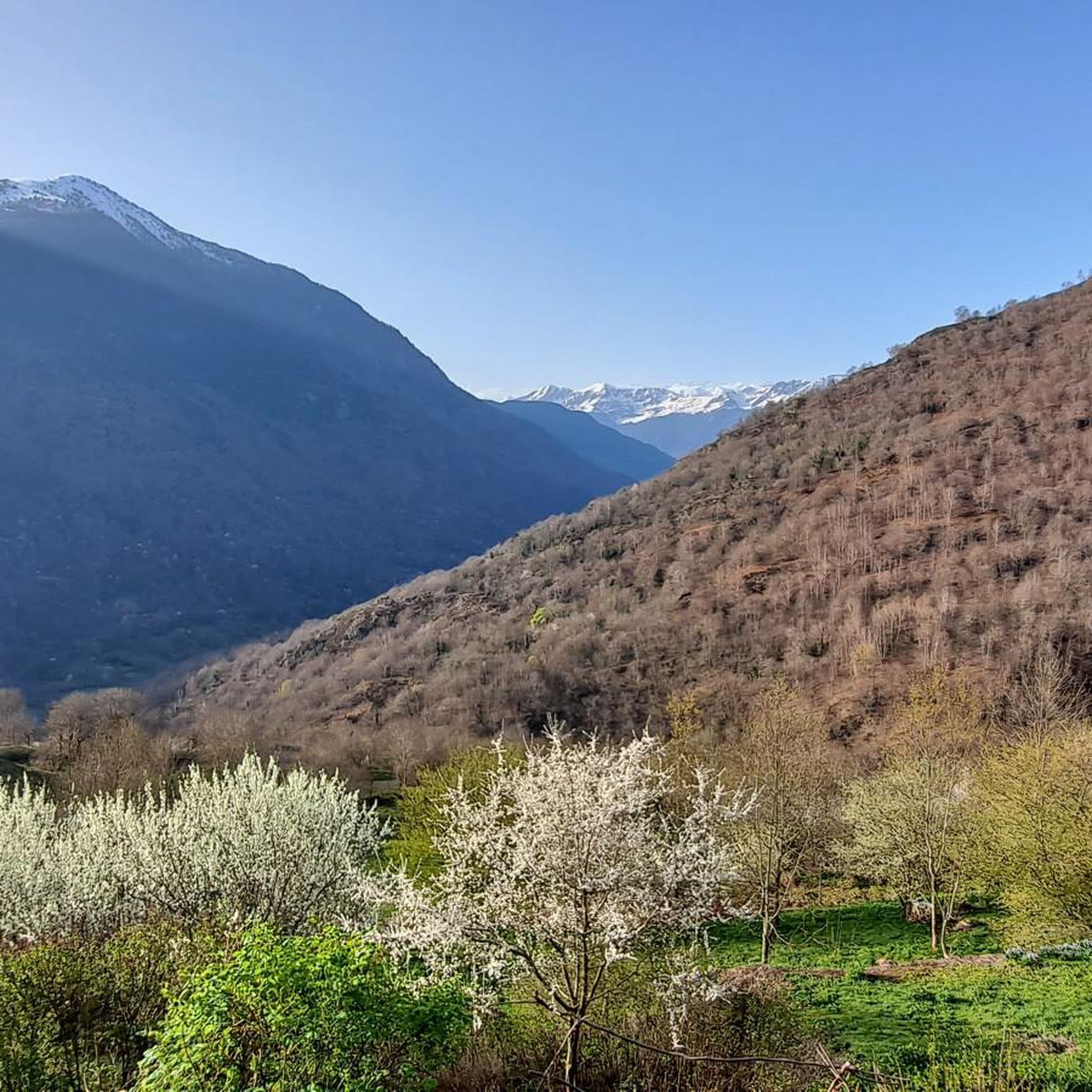
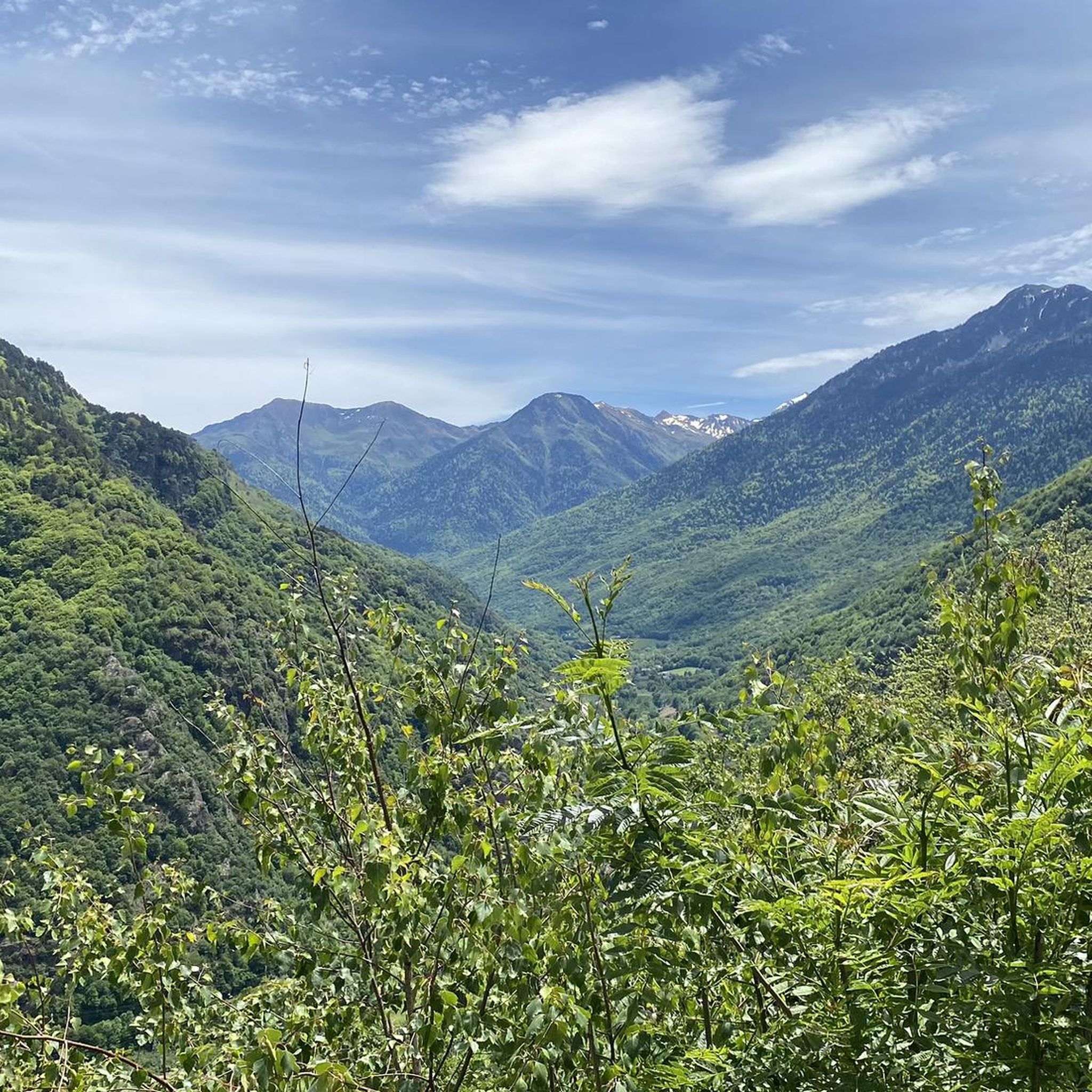
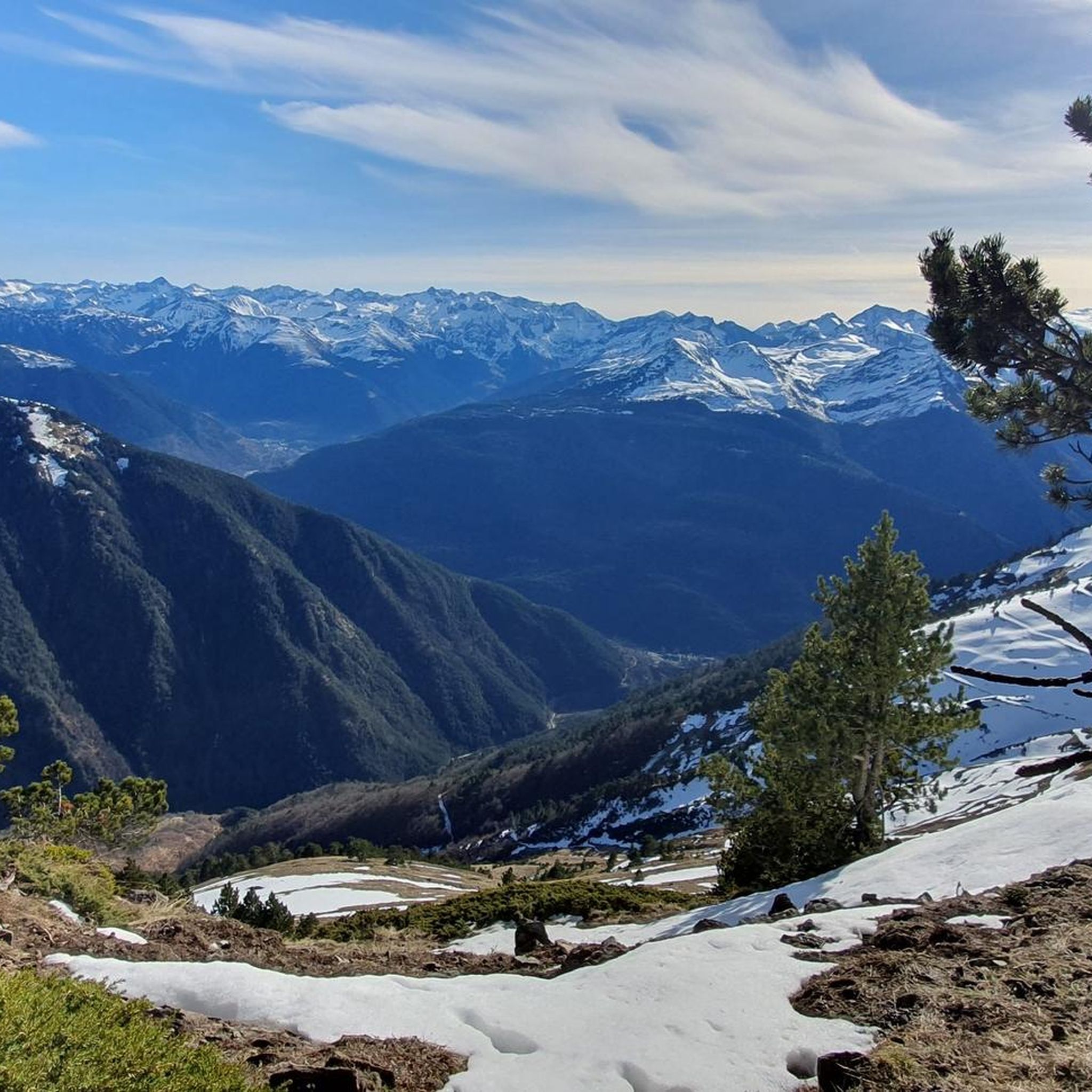
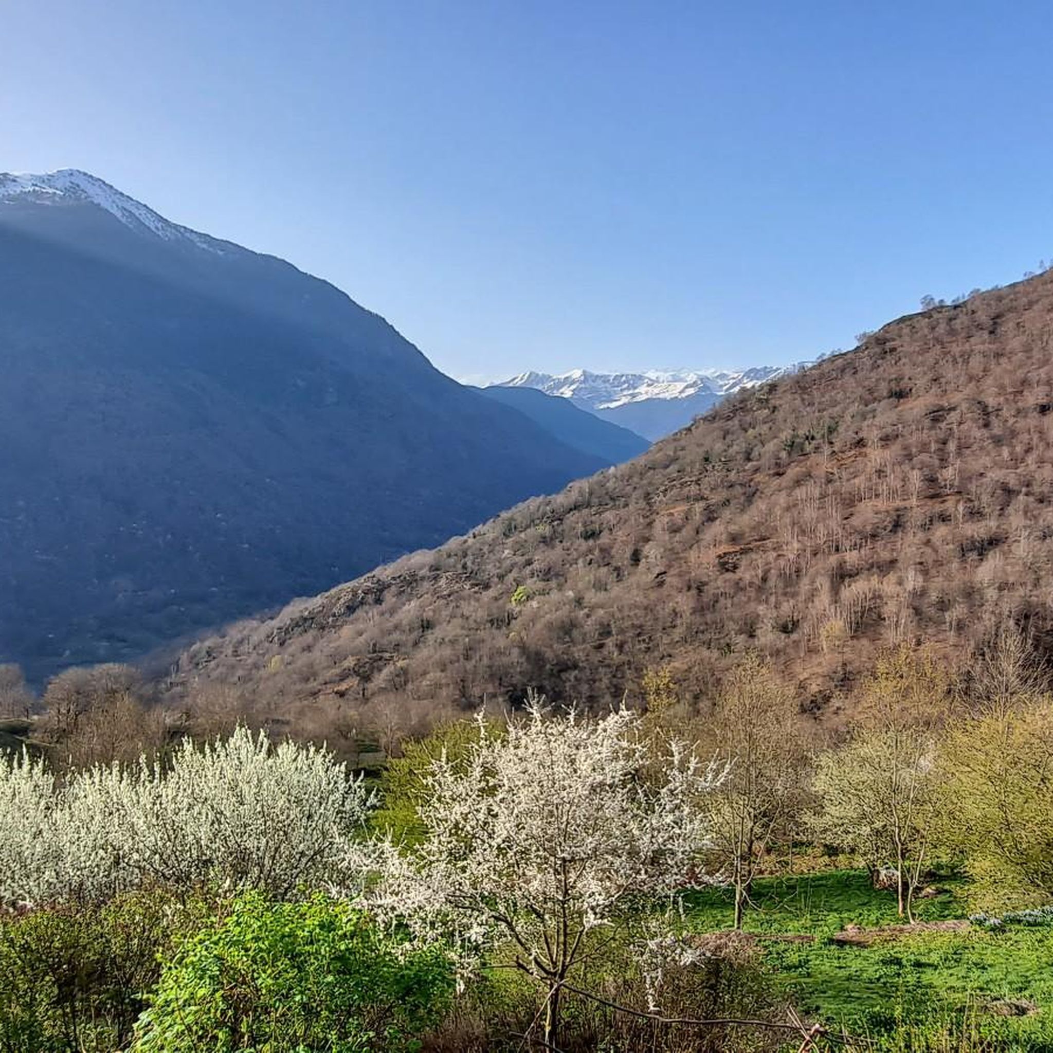

Tips from the Community


Large village where we can find several bars and shops. From here we can go up to the gate or follow the valley of Aran, either up to find Vielha or towards Les. From Les we can take the Col de Menté, highly recommended, or go in search of the Col de Balés - incredible.
0
1

Spectacular path that goes towards the town of Canejant. It is hard because it saves many meters in a few kilometers but it represents the old road that leaves you at the gates of the town. Stone curves that zigzag.
0
0
A small hermitage at the end of the village of Les that is perfectly preserved. The chapel is on one side of the road so it is not difficult to see it when you run past it.
0
0
Beautiful town that is located at the bottom of the valley formed by the Garonne river itself and that goes in the direction of France. The center is in a unique location, surrounded by immense mountains on both sides as far as the eye can see!
0
0

This pretty waterfall is located on the heights of Juzet-de-Luchon. Its long, so-called ponytail waterfall is worth taking the small path that leads to it.
0
0

The Haro de Les festival has a pagan origin. On the summer solstice, a fir trunk about 12 meters high was burned to thank the gods for the success of the crops. Currently, it is a folklore festival declared intangible heritage of humanity by UNESCO and is celebrated with typical Aranese dances on June 24, Saint John's Day.
0
0
Near Canejan, you pedal along this narrow path on a ledge that allows you to see the entire valley, its green slopes and the surrounding peaks.
0
0
Frequently Asked Questions
How many running routes are available in the Bausen region?
The Bausen area offers a wide selection of running routes, with over 150 trails available for exploration. These routes cater to various fitness levels, from moderate runs to more challenging advanced trails.
Are there easy running routes suitable for beginners in Bausen?
Yes, while Bausen is known for its mountainous terrain and elevation changes, there are still options for beginners. The guide features 5 easy running routes, providing a gentler introduction to the region's trails.
What kind of terrain can I expect on running trails around Bausen?
Running trails in Bausen are characterized by a mountainous landscape with significant elevation changes. You'll encounter a mix of established paths and more rugged forest trails, often traversing valleys and ascending hills, offering a diverse and challenging experience.
What is the typical length of running routes in the Bausen area?
Running routes in Bausen vary significantly in length. For example, the popular Running loop from Bausen is about 4.0 miles (6.4 km), while longer, more challenging options like the Ascent to Canejan – Church of Sant Blasi de Les loop from Les extend to 16.8 miles (27.0 km).
Are there any circular running routes in Bausen?
Yes, many of the running routes in Bausen are circular, allowing you to start and finish in the same location. Examples include the Running loop from Bausen and the Bossòst – Bossòst loop from Les.
What do other runners enjoy most about jogging in Bausen?
The running routes in Bausen are highly rated by the komoot community, with an average score of 4.4 stars from over 60 reviews. Runners often praise the varied terrain, significant elevation changes, and the beautiful forest areas that define the region's trails.
Are there any notable landmarks or scenic viewpoints along the running trails?
While running in Bausen, you'll encounter stunning views characteristic of the mountainous landscape. The region is also home to several mountain passes, such as Menté Pass and Portillón Pass, which offer panoramic vistas. You might also discover natural features like Arres Pond.
What are some challenging running routes for advanced runners in Bausen?
For advanced runners seeking a challenge, Bausen offers numerous difficult routes. The Ascent to Canejan – Church of Sant Blasi de Les loop from Les is a particularly demanding 16.8-mile trail with substantial climbs and descents, providing extensive views.
Can I find running routes that are suitable for families in Bausen?
While the guide highlights the mountainous and challenging nature of Bausen's terrain, there are 5 easy routes available. When choosing a family-friendly option, look for trails with less elevation gain and shorter distances, which can be found among the easier rated tours.
Are there running trails that pass through forest areas in Bausen?
Yes, the Bausen region is characterized by natural forest areas, and many running routes traverse these woodlands. You can expect to run through varied forest trails, offering a refreshing and scenic experience.
What is the difficulty level of most running routes in Bausen?
The majority of running routes in Bausen are rated as difficult, with 106 out of 153 tours falling into this category. There are also 42 moderate routes and 5 easy routes, ensuring options for different skill levels, but a good level of fitness is generally recommended.
Most popular attractions around Bausen

Get inspired with the komoot mobile app


Explore more
Browse the best Running Trails & Routes in other regions.
