Top 9 Hikes and Walks around Salvacañete
3.9
(64)
484
hikers
17
hikes
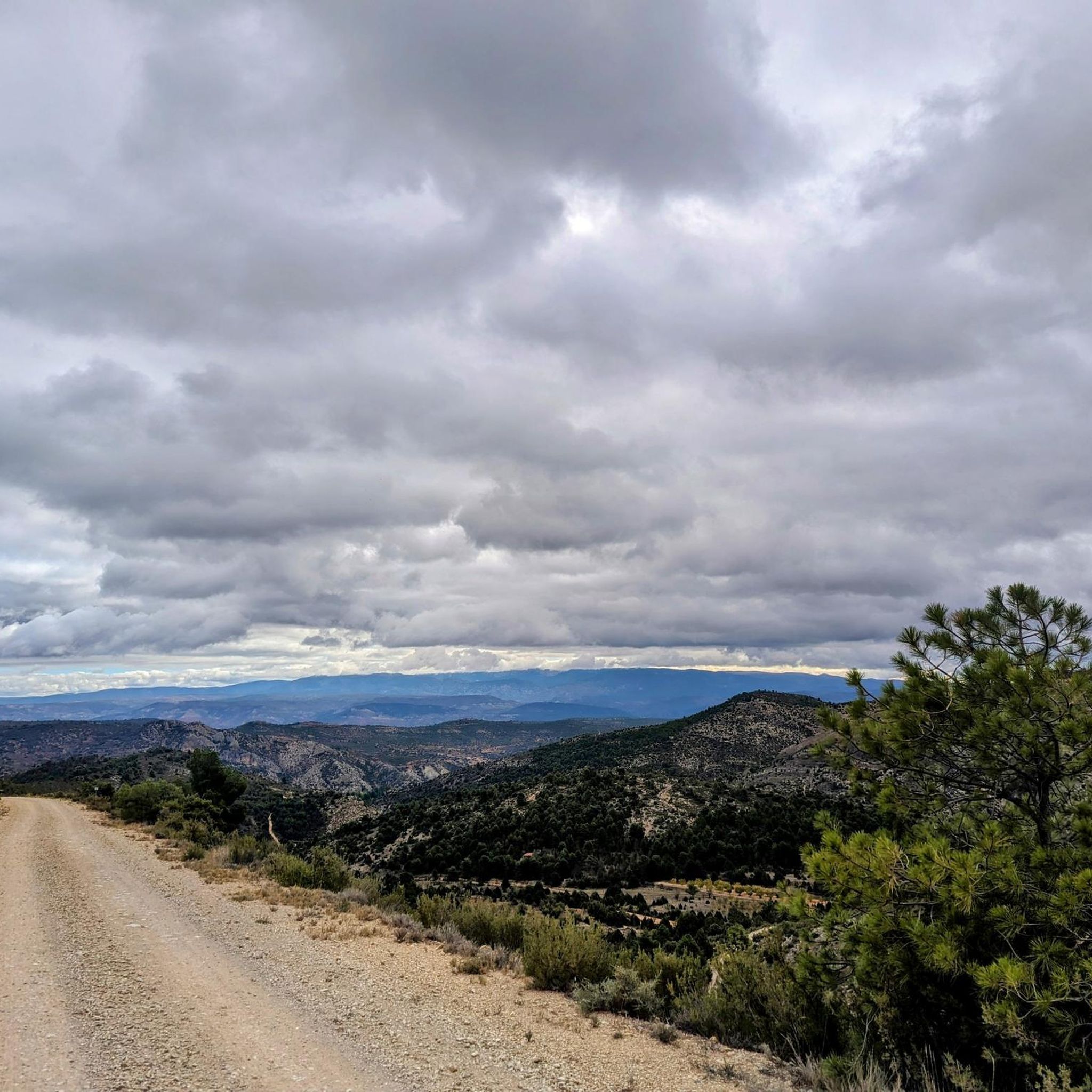
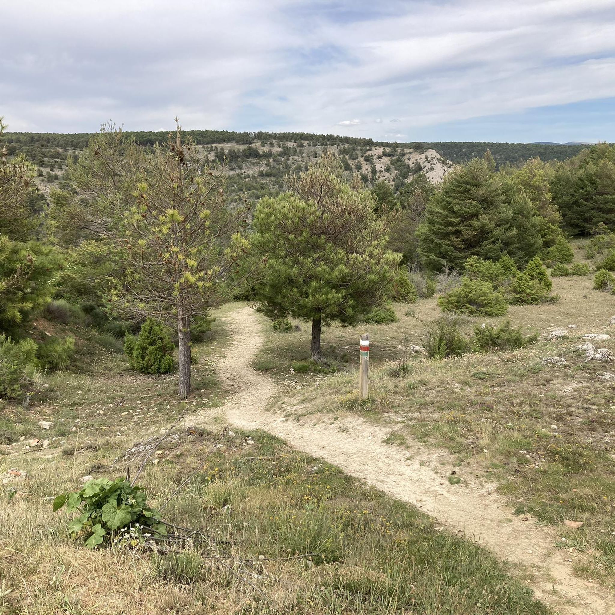
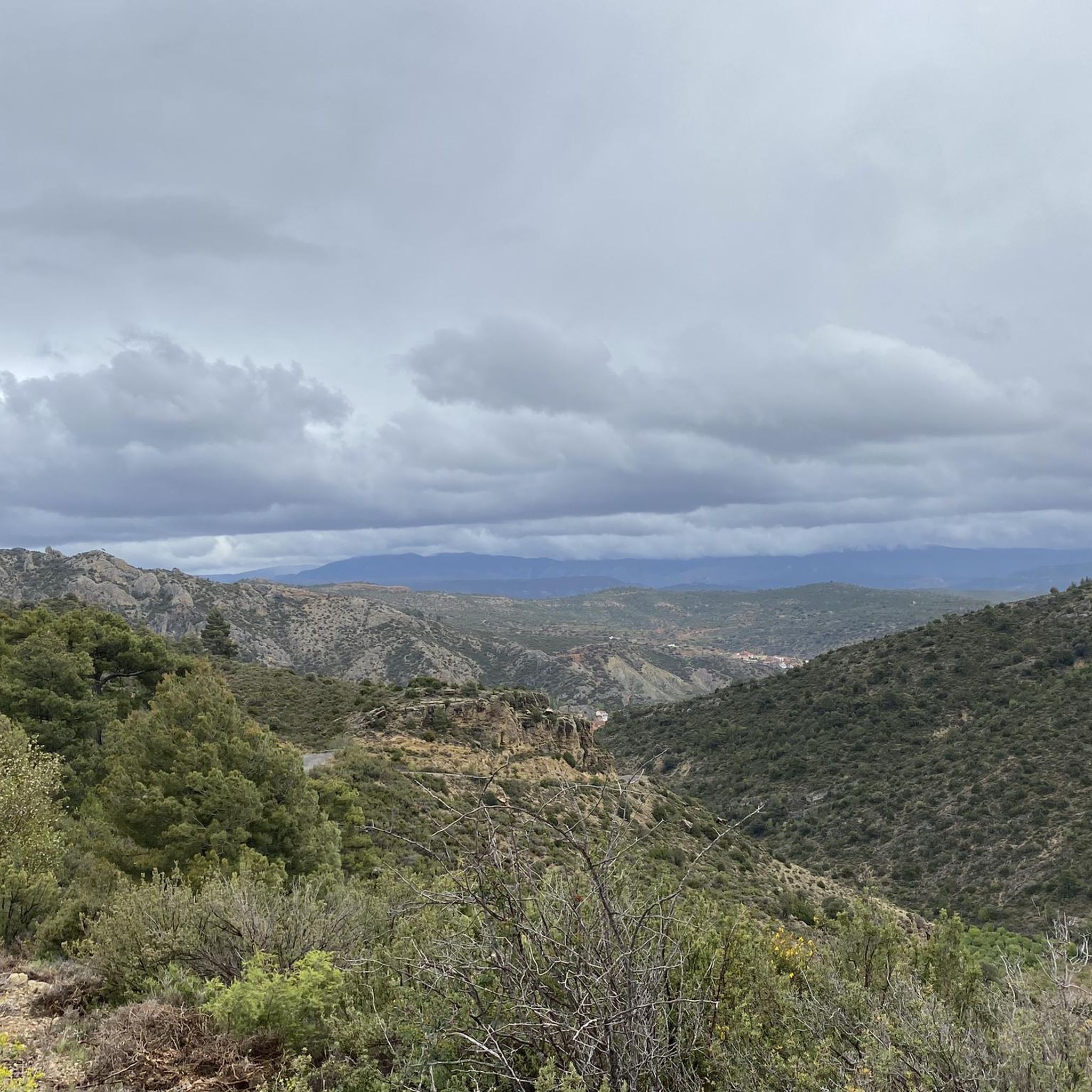
Hiking around Salvacañete provides access to diverse natural landscapes within the Serranía de Cuenca mountain range, part of the Iberian System. The area is characterized by spectacular river gorges, unique karst formations, and extensive wild pine forests. These varied terrains offer a range of hiking experiences across different elevations.
Best hiking trails around Salvacañete
- The most popular hiking route is Ojos del Cabriel and Molino de San Pedro Waterfall Trail, a 4.6 miles (7.5 km) trail that takes about…
Last updated: July 8, 2026
4.4
(11)
62
hikers
7.48km
02:08
170m
170m
Moderate hike. Good fitness required. Easily-accessible paths. Suitable for all skill levels.
3.0
(2)
2
hikers
19.7km
05:35
420m
420m
Hard hike. Very good fitness required. Easily-accessible paths. Suitable for all skill levels.

Sign up for free
4
hikers
11.4km
03:16
270m
270m
Moderate hike. Good fitness required. Easily-accessible paths. Suitable for all skill levels.
12.3km
03:41
390m
390m
Moderate hike. Good fitness required. Easily-accessible paths. Suitable for all skill levels.
4.4
(5)
32
hikers
6.58km
01:53
150m
150m
Easy hike. Great for any fitness level. Easily-accessible paths. Suitable for all skill levels.
Get access to more routes and recommendations from other explorers.
Sign up for free
Already have an account?
Our route recommendations are based on thousands of hikes, rides, and runs completed by other people on komoot.
Start today with a free account
Your next adventure awaits.
Login or Signup

Other adventures around Salvacañete

Tips from the Community

The Cascada de la Herrería is a natural gem located in the Sierra de Albarracín, near the town of El Vallecillo. This beautiful waterfall, also known as the “Hidden Waterfall,” has a drop of approximately 8 meters over the Cabriel River. To reach the waterfall, you can follow a hiking route that begins in El Vallecillo. The route is short, just half a kilometer, and takes you through a varied and picturesque landscape. During the walk, you will also be able to see the natural springs known as the Ojos del Cabriel, which feed the river and the waterfall.
6
0

Beautiful waterfall that can be reached as the end point of the route that begins in El Vallecillo and passes through the eyes of Cabriel. However, due to its proximity to the road, it is common to see many people who come exclusively to visit it.
2
1
The route can be done along the track, at a certain height, or right next to the river on a path. If the river is not in flood, it is advisable to walk along the path next to the river.
2
0
During the descent of the final section, you have to be careful because the ground is always wet and slippery.
2
0
In autumn, in addition to the springs, you can enjoy the changing color of the trees.
1
0
The route to the eyes of Cabriel can be started from the town or from this viewpoint with an esplanade to leave the car.
2
0
Starting point of the river route por los ojos del Cabriel and the waterfall of the San Pedro mill.
2
0

Located on the banks of the Mayor del Molinillo river, the town of Salinas del Manzano is a beautiful and quiet place with various services and paths to explore the beautiful landscape that surrounds it. Among the most outstanding routes is the Las Almas trail that reaches the town of Salvacañete, crossing the Alto de Las Almas and a beautiful forest that make it the ideal plan for the summer months.
2
0
Frequently Asked Questions
What types of landscapes can I expect to see while hiking around Salvacañete?
The region around Salvacañete is characterized by the stunning Serranía de Cuenca mountain range. Hikers will encounter spectacular river gorges carved by the Júcar and Cabriel rivers, unique karst landscapes with fascinating rock formations, and extensive wild pine forests. You can also find impressive waterfalls and panoramic viewpoints.
Are there any easy hiking trails suitable for beginners or families?
Yes, Salvacañete offers several easy routes. For example, the Ojos del Cabriel – Herrería Waterfall loop from El Vallecillo is an easy option, perfect for a more relaxed outing. In total, there are 6 easy trails available in the area.
Can I find trails with waterfalls in the Salvacañete area?
Absolutely. The region is known for its beautiful waterfalls. You can explore trails that lead to the Herrería Waterfall, San Pedro Mill Waterfall, and Calicanto Waterfall. The Ojos del Cabriel and Molino de San Pedro Waterfall Trail is a popular moderate route featuring turquoise waters and cascades.
Are there any circular hiking routes available?
Yes, many trails in the Salvacañete area are circular, offering varied scenery without retracing your steps. An example is the Trail of the Souls Loop, a moderate 7.7-mile route that takes you through diverse landscapes.
What are some notable natural landmarks or viewpoints to visit?
The region boasts several impressive natural landmarks. The Ojos del Cabriel (source of the Cabriel River) is a significant natural feature. You can also find spectacular gorges like the Gorges of the Ebrón River. The 'Ventano del Diablo' (Devil's Window) is another popular spot offering breathtaking panoramic views of the Júcar river canyon.
What do other hikers say about the trails in Salvacañete?
The hiking routes around Salvacañete are highly rated by the komoot community, with an average score of 4.0 stars from over 50 reviews. Hikers often praise the diverse terrain, from river gorges to pine forests, and the well-maintained paths that offer a range of experiences for different ability levels.
What is the best time of year to go hiking in Salvacañete?
While hiking is possible year-round, the spring and autumn months generally offer the most pleasant conditions with milder temperatures and vibrant natural colors. Summer can be warm, making early morning or late afternoon hikes preferable, especially for longer routes. Winter offers a different charm, though some higher elevation trails might require more preparation.
Are there any trails that offer opportunities for wildlife observation?
Yes, the Serranía de Cuenca is rich in wildlife. The 'Ruta del Hosquillo' combines nature with wildlife observation within the Hosquillo Hunting Park, a sanctuary for species like deer, wild boars, and even brown bears and Iberian wolves. You might also spot griffon vultures, Iberian ibex, and golden eagles on various trails throughout the region.
How many hiking routes are there in total around Salvacañete?
There are 16 hiking routes available around Salvacañete, catering to various skill levels. This includes 6 easy routes, 9 moderate routes, and 1 difficult route, ensuring options for everyone from casual walkers to experienced trekkers.
Are there any longer, more challenging hikes for experienced trekkers?
Yes, for experienced hikers seeking a challenge, the Ruta de los Ojos del Cabriel y Cascada del Molino de San Pedro is a difficult 12.2-mile path that explores the Cabriel river area, including its source and waterfalls, offering a demanding yet rewarding experience.
What kind of unique geological features can be found on the trails?
The region is renowned for its fascinating karst landscapes. These are sculpted over millennia by natural forces, creating unique formations. Beyond the river gorges, you can find attractions like the 'Ciudad Encantada' (Enchanted City) with its whimsical rock formations, and 'Las Torcas,' which are circular depressions formed by collapsed caverns.
Is there a trail that leads to a hermitage or historical site?
Yes, the Jabalón and San Cristóbal Hermitage from Jabaloyas Trail is a moderate 7.0-mile route that leads through varied terrain to the San Cristóbal Hermitage, offering a blend of natural beauty and historical interest.
Most popular attractions around Salvacañete

Get inspired with the komoot mobile app


Explore more
Browse the best Hikes in other regions.
