The best running trails around Albalá
81
runners
18
runs
Jogging routes around Albalá traverse a distinctive "dehesa" landscape, characterized by expansive areas dotted with holm oaks, cork oaks, and scrubland. This natural setting is intersected by various streams that flow into the Salor River, creating a varied environment for running. The region's elevation is generally flat, averaging 502 meters, with the highest point, "Cabeza Porquera," reaching 537 meters, offering accessible routes without significant inclines. The presence of the "Albalá batholith" and tributaries like the Ayuela River further enrich the…
Last updated: August 20, 2026
14
runners
Hard run. Very good fitness required. Mostly accessible paths. Some sure footedness required.
6.83km
00:44
50m
50m
Moderate run. Good fitness required. Mostly paved surfaces. Suitable for all skill levels.

Sign up for free
4
runners
8.53km
00:56
40m
30m
Moderate run. Good fitness required. Mostly paved surfaces. Suitable for all skill levels.
5
runners
16.0km
02:12
640m
640m
Hard run. Very good fitness required. Mostly paved surfaces. Suitable for all skill levels.
4
runners
14.9km
01:56
560m
560m
Hard run. Very good fitness required. Mostly paved surfaces. Suitable for all skill levels.
Get access to more routes and recommendations from other explorers.
Sign up for free
Already have an account?
Our route recommendations are based on thousands of hikes, rides, and runs completed by other people on komoot.
Start today with a free account
Your next adventure awaits.
Login or Signup

Tips from the Community

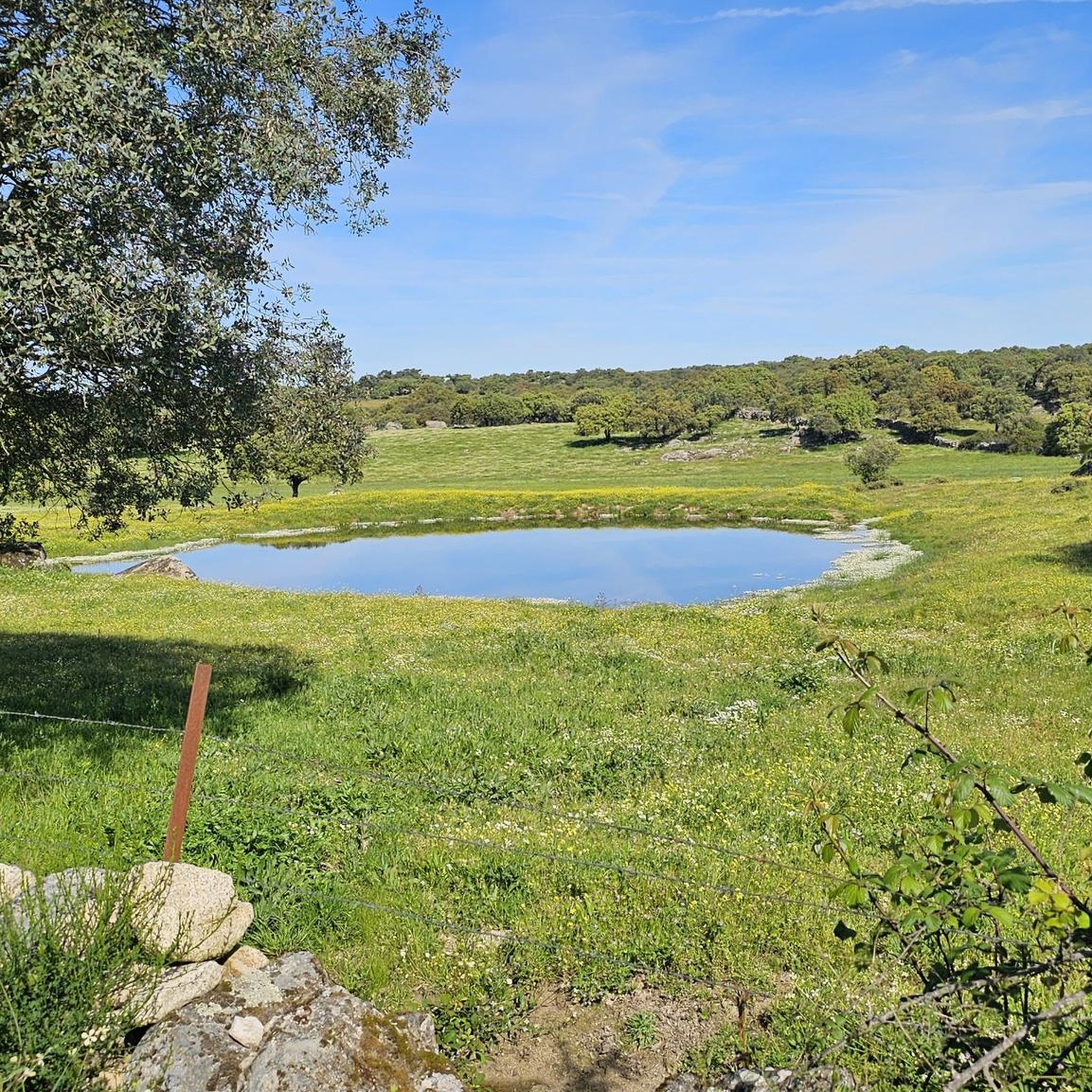
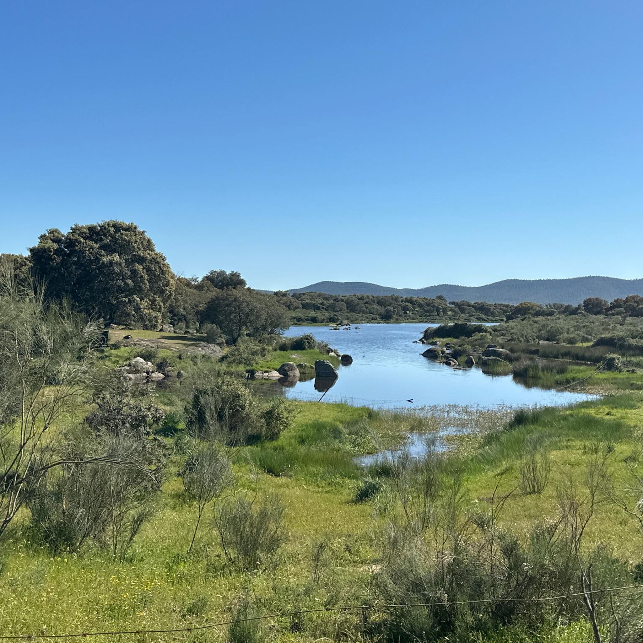
This small reservoir southeast of Cáceres is also known as Tres Torres. It is very popular among fishermen in the area, as carp are abundant. Its banks are an ideal place to stop to rest and perhaps have something to eat in the middle of our route.
0
0

Beautiful route, even for children, preferably autumn, winter
1
0

A magnificent place to see and hear how the water falls in this old mill that in its time offered us numerous advances and that is currently obsolete. It's in ruins; but it allows you to appreciate its wall, the waterfall and the building where said mill was located.
10
0

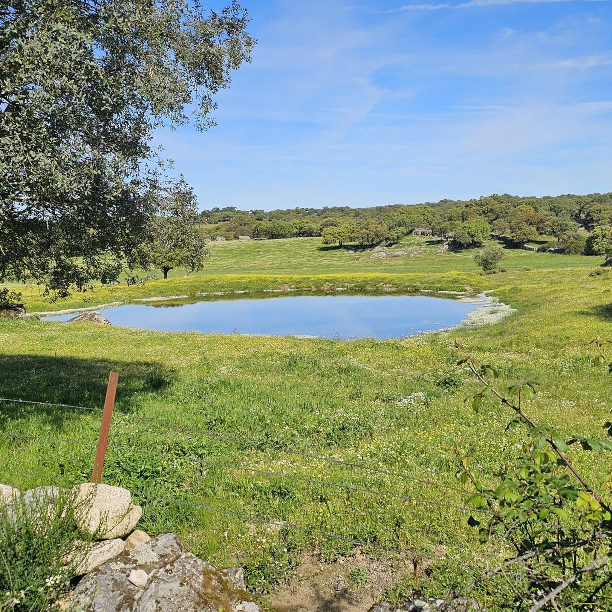
Cultivated fields that in spring are filled with flowers and a spectacular green.
0
1

Casas de Don Antonio is a small town on the road that connects Mérida with Cáceres, which runs along the Roman road known as Vía de la Plata. Look at the Roman bridge on the other side of the CC-147 road over the Ayuela river.
1
0

This picturesque approved route (PR-CC 27) runs through the interior of the Sierra de Montánchez and Tamuja region through a very picturesque landscape of chestnut trees. It has no technical difficulty and can be started from Montánchez or Arroyomolinos.
1
0
This picturesque approved route (PR-CC 27) runs through the interior of the Sierra de Montánchez and Tamuja region through a very picturesque landscape of chestnut trees. It has no technical difficulty and can be started from Montánchez or Arroyomolinos.
3
0
Not only is its shape curious, but the name by which it is known is even more striking. It is a very picturesque place with very beautiful panoramic views of the entire Montánchez valley.
4
0
Frequently Asked Questions
How many running routes are available around Albalá?
There are over 10 running routes available around Albalá, offering a variety of experiences for different skill levels. The komoot community has mapped 13 routes in total, with 6 considered moderate and 7 difficult.
What kind of terrain can I expect on the jogging paths in Albalá?
The jogging paths in Albalá primarily traverse a distinctive dehesa landscape, characterized by expansive areas dotted with holm oaks, cork oaks, and scrubland. The elevation is generally flat, averaging 502 meters, making for accessible routes without significant inclines. You'll often find routes following streams that flow into the Salor River, enriching the natural scenery.
Are there running routes suitable for beginners in Albalá?
While there are no routes specifically classified as 'easy' in our current selection, many of the moderate routes in Albalá are suitable for beginners due to the generally flat elevation. For example, the Embalse de Jarripa — circular by the arroyo Zorita is a moderate 4.2-mile (6.8 km) trail with minimal elevation gain, perfect for those starting out.
Can I find routes with historical landmarks or natural sights in Albalá?
Yes, several running routes in Albalá offer glimpses of historical landmarks and natural sights. For instance, the Montánchez - Arroyomolinos – circular via the Ruta de los Molinos (PR-CC 27) provides scenic views towards Montánchez Castle. You can also explore the Ruta de los Molinos (PR-CC 27) itself, which features an old mill and a waterfall. The ancient Santiago de Bencáliz Bridge is another notable point of interest in the area.
Are there any circular running routes available in Albalá?
Yes, many of the running routes around Albalá are circular, offering convenient starting and ending points. Popular options include the Ruta de los Molinos (PR-CC 27) — circular desde Arroyomolinos and the Embalse de Jarripa — circular by the arroyo Zorita, both designed for a complete loop experience.
What is the best time of year for running in Albalá?
Albalá's climate makes it suitable for running for much of the year. Spring and autumn generally offer the most pleasant temperatures for outdoor activities. The region's dehesa landscape provides some shade, but it's always advisable to check the weather forecast and plan your runs for cooler parts of the day during summer months.
Are there any family-friendly running trails in Albalá?
While specific 'family-friendly' classifications aren't provided, the generally flat terrain and moderate difficulty of routes like the Embalse de Jarripa — circular by the arroyo Zorita make them suitable for families looking for a less strenuous run or walk. The presence of picnic areas, such as near the Santiago de Bencáliz Bridge, can also enhance a family outing.
What do other runners enjoy the most about jogging in Albalá?
Runners frequently praise Albalá for its distinctive dehesa landscape, characterized by holm oaks and cork oaks, which offers a unique natural setting. The generally flat elevation and routes that follow streams are also highly appreciated, providing varied yet accessible running experiences. Many enjoy discovering the region's natural beauty and historical elements along the trails.
Are there any running routes that pass by water features like reservoirs or rivers?
Yes, the natural setting of Albalá is intersected by various streams that flow into the Salor River, and some routes specifically feature water bodies. The Embalse de Jarripa — circular by the arroyo Zorita, for example, leads through reservoir landscapes and along streams, offering picturesque views and a refreshing environment.
What is the longest running route available in Albalá?
Among the top routes, the Ruta de los Molinos (PR-CC 27) — circular desde Arroyomolinos and the Montánchez - Arroyomolinos – circular via the Ruta de los Molinos (PR-CC 27) are both approximately 7.9 miles (12.7 km) long, offering a substantial challenge for runners looking for longer distances.
Are there options for accommodation or places to eat near the running trails in Albalá?
While specific cafes or accommodation directly on the trails are not detailed, Albalá is a municipality with local amenities. For accommodation and dining options, it's recommended to check within the town of Albalá itself or nearby villages, which cater to visitors exploring the region's natural beauty and historical richness.
What is the elevation profile like for running routes in Albalá?
The elevation in Albalá is generally flat, averaging 502 meters. The highest point, 'Cabeza Porquera,' reaches 537 meters, meaning most routes offer accessible running without significant climbs. Even routes classified as 'difficult' tend to have manageable elevation gains, such as the Ruta de los Molinos (PR-CC 27) — circular desde Arroyomolinos, which has an elevation gain of around 390 meters over its 7.9 miles.
Most popular attractions around Albalá

Get inspired with the komoot mobile app


Explore more
Browse the best Running Trails & Routes in other regions.
