The best walks and hikes around Torreorgaz
4.5
(19)
65
hikers
8
hikes
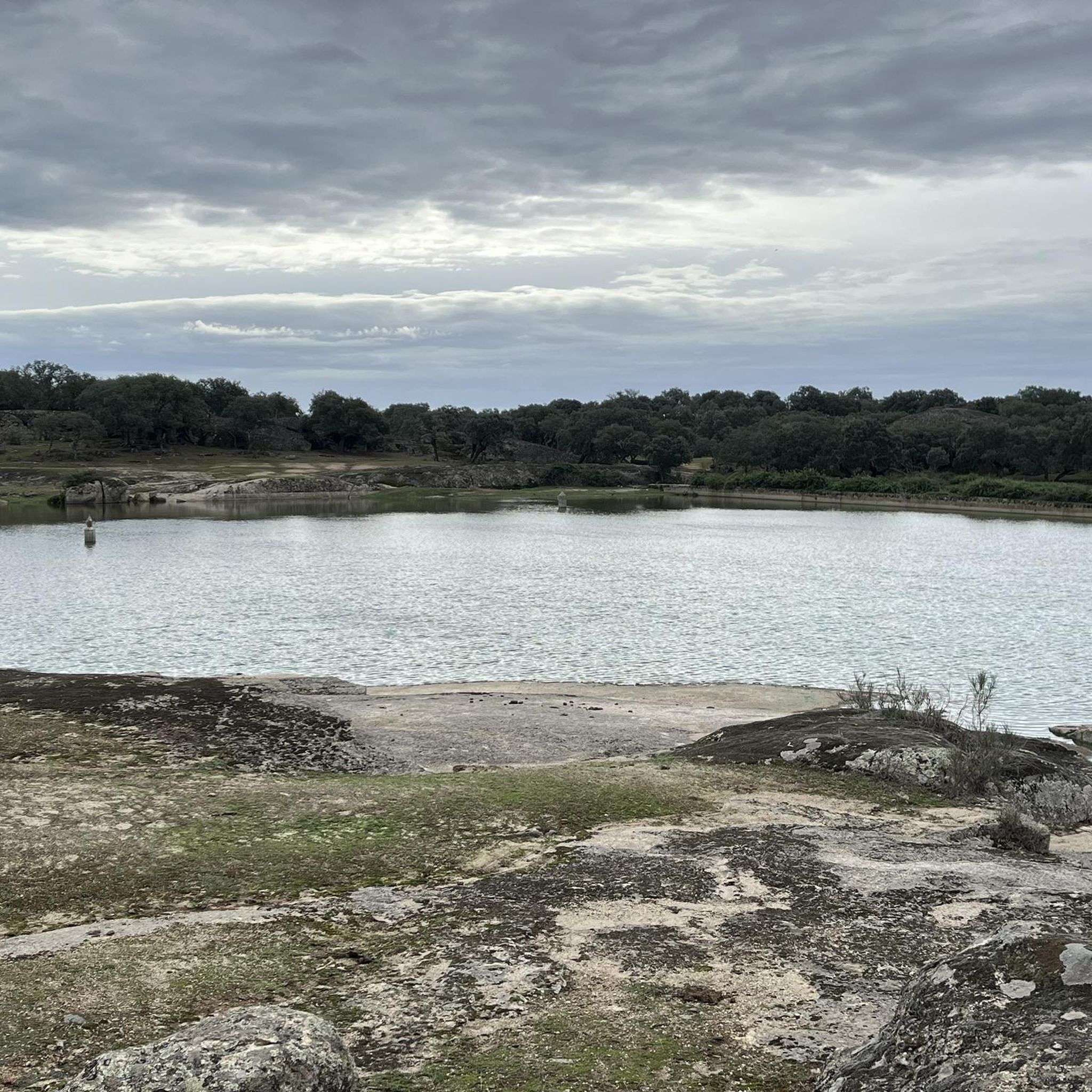
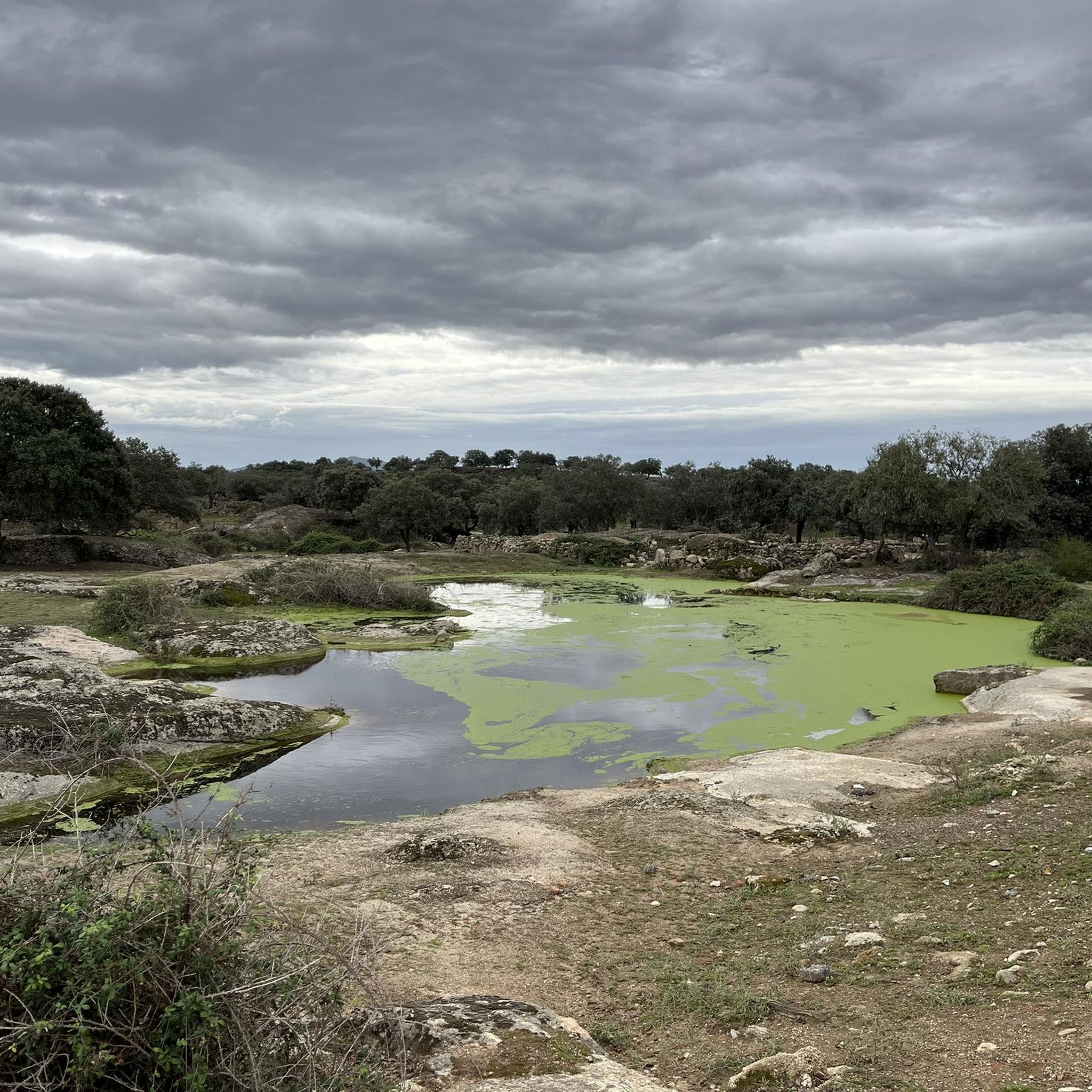
Hiking around Torreorgaz offers exploration within the Zona de Interés Regional Llanos de Cáceres y Sierra de Fuentes, characterized by its expansive pseudo-steppe landscape. This region features vast open spaces, flat to gently rolling hills, and cultivated areas. Significant water bodies like the Guadiloba and Salor reservoirs, along with scattered cork and holm oak woodlands, contribute to the diverse terrain.
Best hiking trails around Torreorgaz
- The most popular hiking route is Santiago de Bencáliz Bridge – Stepping Stones Crossing loop…
Last updated: June 27, 2026
4.7
(7)
35
hikers
Hard hike. Very good fitness required. Easily-accessible paths. Suitable for all skill levels.
5.0
(2)
7
hikers
7.85km
02:05
80m
80m
Moderate hike. Good fitness required. Easily-accessible paths. Suitable for all skill levels.

Sign up for free
4.7
(3)
6
hikers
8.46km
02:10
30m
30m
Moderate hike. Good fitness required. Easily-accessible paths. Suitable for all skill levels.
3.5
(2)
4
hikers
5.14km
01:20
30m
30m
Easy hike. Great for any fitness level. Easily-accessible paths. Suitable for all skill levels.
5.0
(1)
1
hikers
6.77km
01:59
170m
170m
Moderate hike. Great for any fitness level. Mostly accessible paths. Sure-footedness required.
Get access to more routes and recommendations from other explorers.
Sign up for free
Already have an account?
Our route recommendations are based on thousands of hikes, rides, and runs completed by other people on komoot.
Start today with a free account
Your next adventure awaits.
Login or Signup
Tips from the Community

The House of Mercy in Alcuéscar is a special place that offers hospitality to pilgrims traveling the Vía de la Plata. Although it is not a typical hostel, it is a reception space managed by the Religious Community of the Slaves of Mary and the Poor.
3
0

Alcuéscar is a small town in the Sierra de Montánchez region on the border with the province of Badajoz. The city was established in 830 under the Muslim rule of the Iberian Peninsula. The Vía de la Plata, which connects Seville with Astorga, crosses the town.
1
0
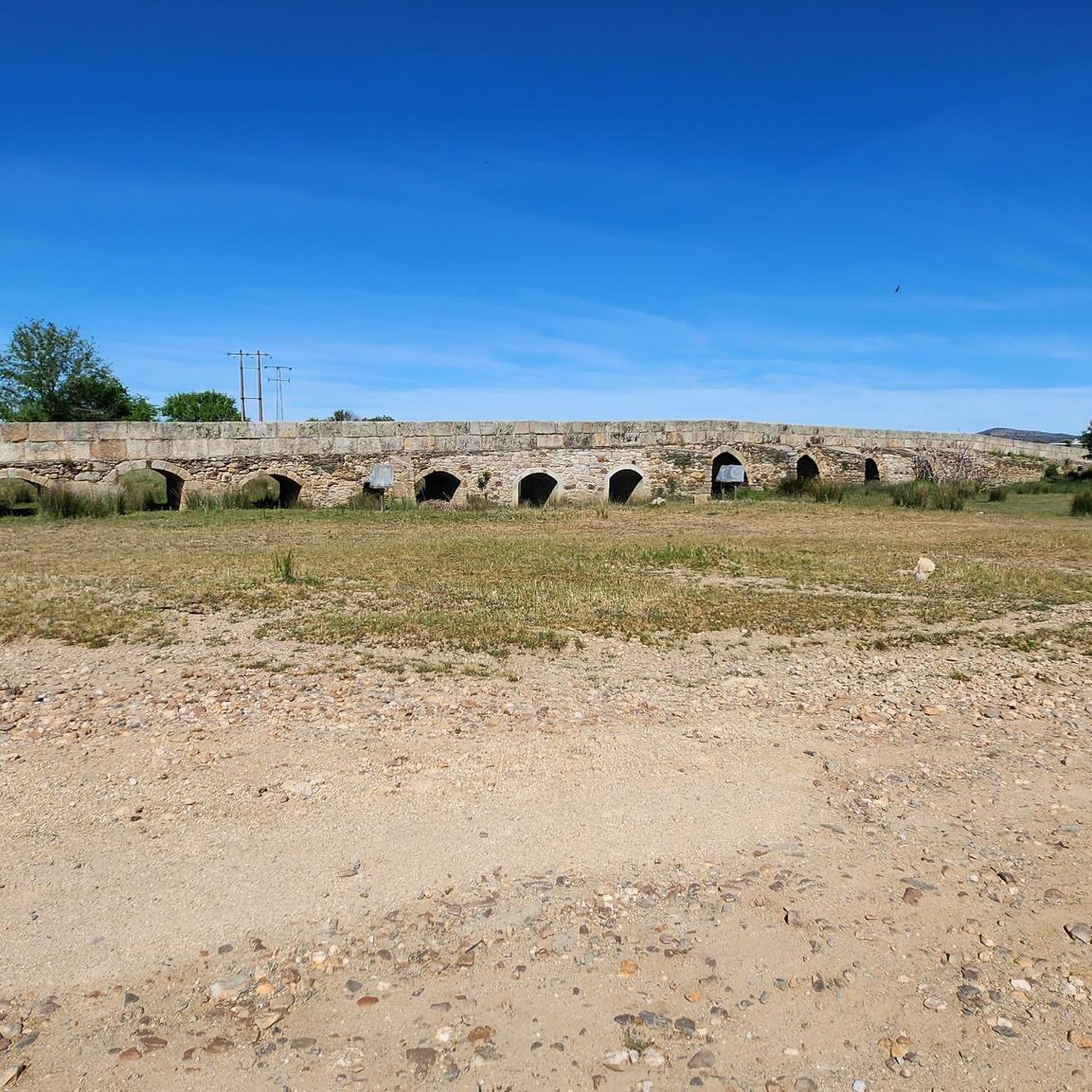
Casas de Don Antonio is a small town on the road that connects Mérida with Cáceres, which runs along the Roman road known as Vía de la Plata. Look at the Roman bridge on the other side of the CC-147 road over the Ayuela river.
1
0

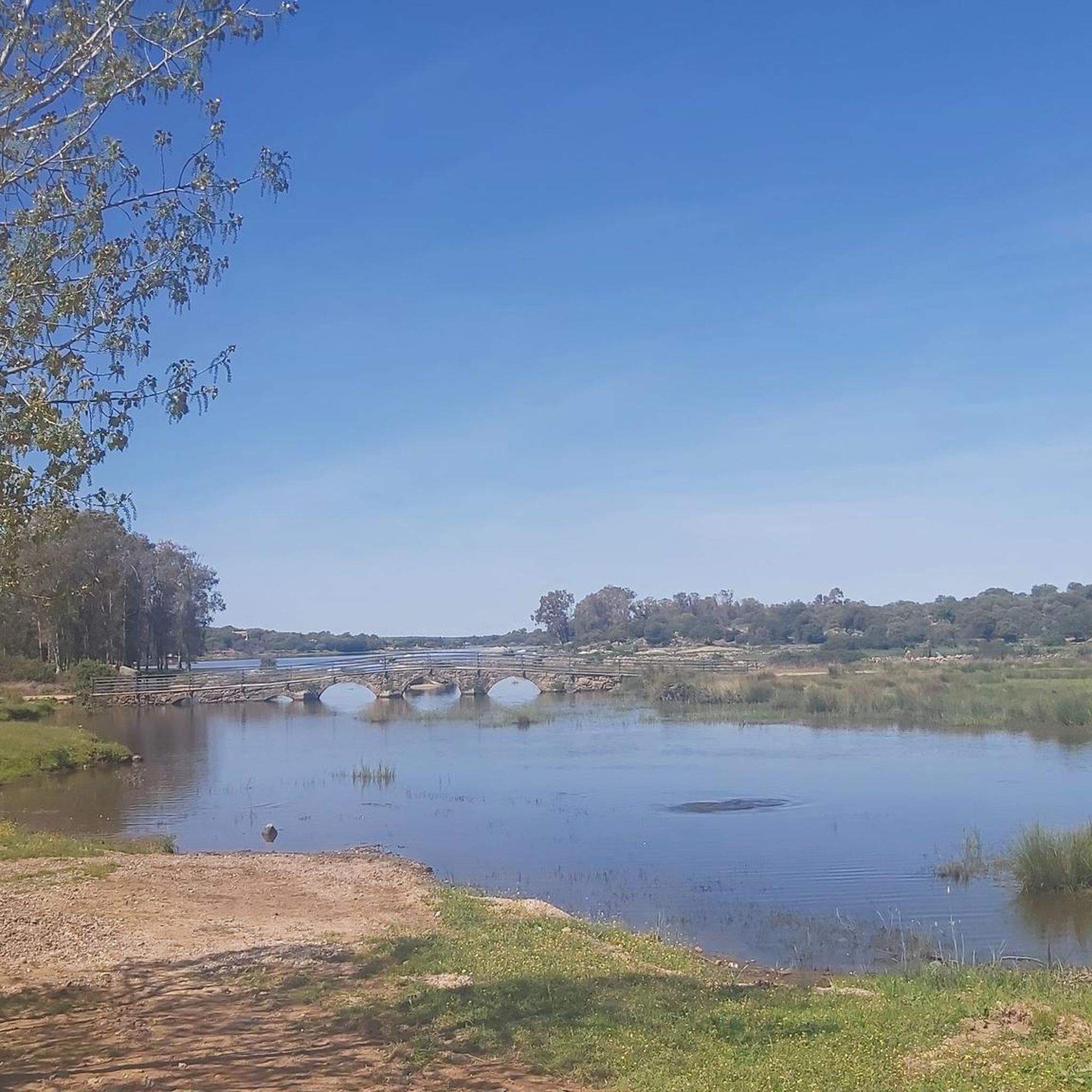
This ancient Roman bridge crosses the Santiago stream. Just before the bridge there is a small picnic area with a roof where you can take shelter and a picnic table.
1
0
Roman bridge of the Vía de la Plata over the Ayuela river.
11
0

Sometimes it cannot be crossed by weeds.
4
1
Frequently Asked Questions
How many hiking trails are available around Torreorgaz?
There are over 8 hiking trails around Torreorgaz, offering a variety of experiences within the Zona de Interés Regional Llanos de Cáceres y Sierra de Fuentes.
What are the different difficulty levels for hiking trails in Torreorgaz?
The trails around Torreorgaz cater to various fitness levels. You'll find 1 easy route, 5 moderate routes, and 2 difficult routes. The landscape, primarily pseudo-steppe, offers a mix of flat to gently rolling terrain.
Are there any easy hiking routes suitable for beginners or casual walkers?
Yes, for those seeking an easier walk, the Hiking loop from Casas de Don Antonio is a great option. This 3.2-mile (5.1 km) trail leads through open fields and gentle terrain, typically completed in about 1 hour 19 minutes.
What kind of terrain can I expect on hikes around Torreorgaz?
The terrain around Torreorgaz is predominantly a pseudo-steppe landscape, characterized by vast open spaces, flat to gently rolling hills, and cultivated areas. You'll also encounter significant water bodies like the Guadiloba and Salor reservoirs, and scattered cork and holm oak woodlands, providing diverse scenery.
Are there any circular hiking routes in the area?
Yes, many of the trails around Torreorgaz are designed as loops. For example, the Hermitage of the Lord of Salor loop from Torrequemada is a moderate 4.9-mile (7.8 km) path that offers scenic views and passes through holm oak groves.
What natural features or landmarks can I see while hiking near Torreorgaz?
While hiking, you can explore the unique pseudo-steppe ecosystem, observe the Guadiloba and Salor reservoirs, and pass through isolated cork and holm oak woodlands. Historic landmarks include the ancient Puente Mocha over the Salor River and the Roman Santiago de Bencáliz Bridge.
Is Torreorgaz a good destination for birdwatching while hiking?
Absolutely. The Torreorgaz region is part of the Zona de Interés Regional Llanos de Cáceres y Sierra de Fuentes, a Special Protection Area for Birds (ZEPA). This makes it an excellent location for birdwatching, with opportunities to spot species like great bustards, little bustards, and Montagu's harriers, especially around the reservoirs.
Are the hiking trails around Torreorgaz suitable for families with children?
Yes, there are trails suitable for families. The easier routes, such as the Hiking loop from Casas de Don Antonio, offer gentle terrain and shorter distances, making them ideal for walks with children. The diverse landscapes also provide engaging natural exploration.
What is the best time of year to go hiking in Torreorgaz?
The best time to hike in Torreorgaz is typically during spring (March to May) and autumn (September to November). During these seasons, the weather is milder, making for more comfortable hiking conditions, and the natural landscape is often at its most vibrant.
What do other hikers say about their experience in Torreorgaz?
The area is highly rated by the komoot community, with an average score of 4.5 stars from over 14 reviews. Hikers often praise the expansive pseudo-steppe landscapes, the opportunities for birdwatching, and the peaceful atmosphere of the trails.
Is public transport available to reach the trailheads in Torreorgaz?
While Torreorgaz is a smaller municipality, public transport options to specific trailheads might be limited. It's generally recommended to check local bus schedules or consider driving to access the starting points of the various hiking routes.
Where can I park when hiking in Torreorgaz?
Parking availability varies by trailhead. For routes starting directly from Torreorgaz or nearby villages like Casas de Don Antonio, you can often find parking in or near the village centers. It's advisable to check specific route details for recommended parking spots.
Do I need any special permits to hike in the Torreorgaz region?
Generally, no special permits are required for hiking on the established trails within the Zona de Interés Regional Llanos de Cáceres y Sierra de Fuentes. However, always respect private property and any local regulations or signage you may encounter.
Most popular attractions around Torreorgaz

Get inspired with the komoot mobile app


Explore more
Browse the best Hikes in other regions.
