The best walks and hikes around Robledillo De Trujillo
4.7
(30)
102
hikers
2
hikes
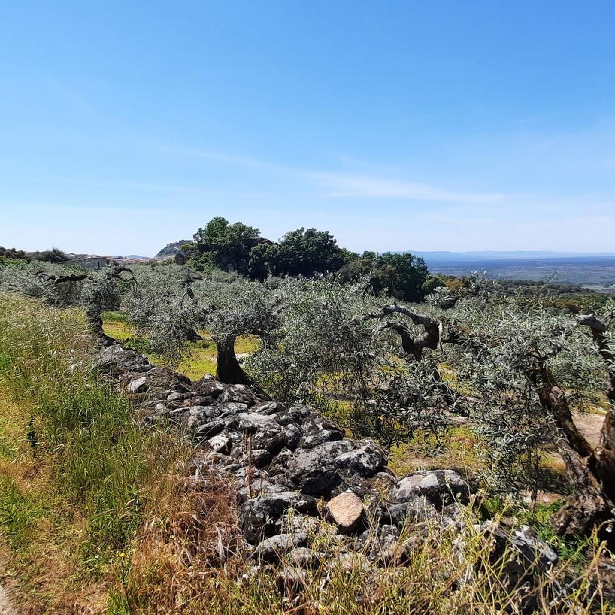
Hiking around Robledillo De Trujillo offers diverse natural landscapes within the Cáceres province of Spain. The terrain is characterized by a dry environment, featuring granite, quartzite, and slate formations, alongside areas of scrubland and Mediterranean forests with holm oaks and cork oaks. Elevated points like Barrera Alta and Fuente Barrera hills, along with waterways such as the Gibranzos river, define the area's physical features.
Best hiking trails around Robledillo De Trujillo
- The most popular hiking route is Turtle Rock –…
Last updated: July 11, 2026
4.6
(23)
58
hikers
9.19km
02:42
260m
250m
Moderate hike. Good fitness required. Easily-accessible paths. Suitable for all skill levels.
5.0
(1)
9
hikers
7.93km
02:46
360m
360m
Moderate hike. Good fitness required. Mostly accessible paths. Sure-footedness required.

Sign up for free
5.0
(1)
9
hikers
8.45km
02:56
380m
380m
Moderate hike. Good fitness required. Mostly accessible paths. Sure-footedness required.
4.0
(2)
1
hikers
12.4km
03:18
120m
120m
Moderate hike. Good fitness required. Easily-accessible paths. Suitable for all skill levels.
10.7km
03:14
280m
280m
Moderate hike. Good fitness required. Mostly accessible paths. Sure-footedness required.
Our route recommendations are based on thousands of hikes, rides, and runs completed by other people on komoot.
Start today with a free account
Your next adventure awaits.
Login or Signup


Tips from the Community

If you happen to be on the way, take a few minutes to savor its tranquility.
0
1

The San Gregorio cliff has a height of 844m and is considered to be the best window to observe the environment. One of its great potentials is that it offers the visitor enormous views, being able to see on clear days an interesting perspective of the distant Gredos mountains.
10
0

Old water pipes for the town of Santa Cruz de la Sierra. They stopped being used around the 16th century due to a lack of agreement on their maintenance.
1
0

Ruins of an old settlement where the water source is still located (when in doubt, do not drink it without first filtering it)
4
0

Not known if this water is drinkable
2
2
Frequently Asked Questions
What is the typical terrain like for hiking around Robledillo De Trujillo?
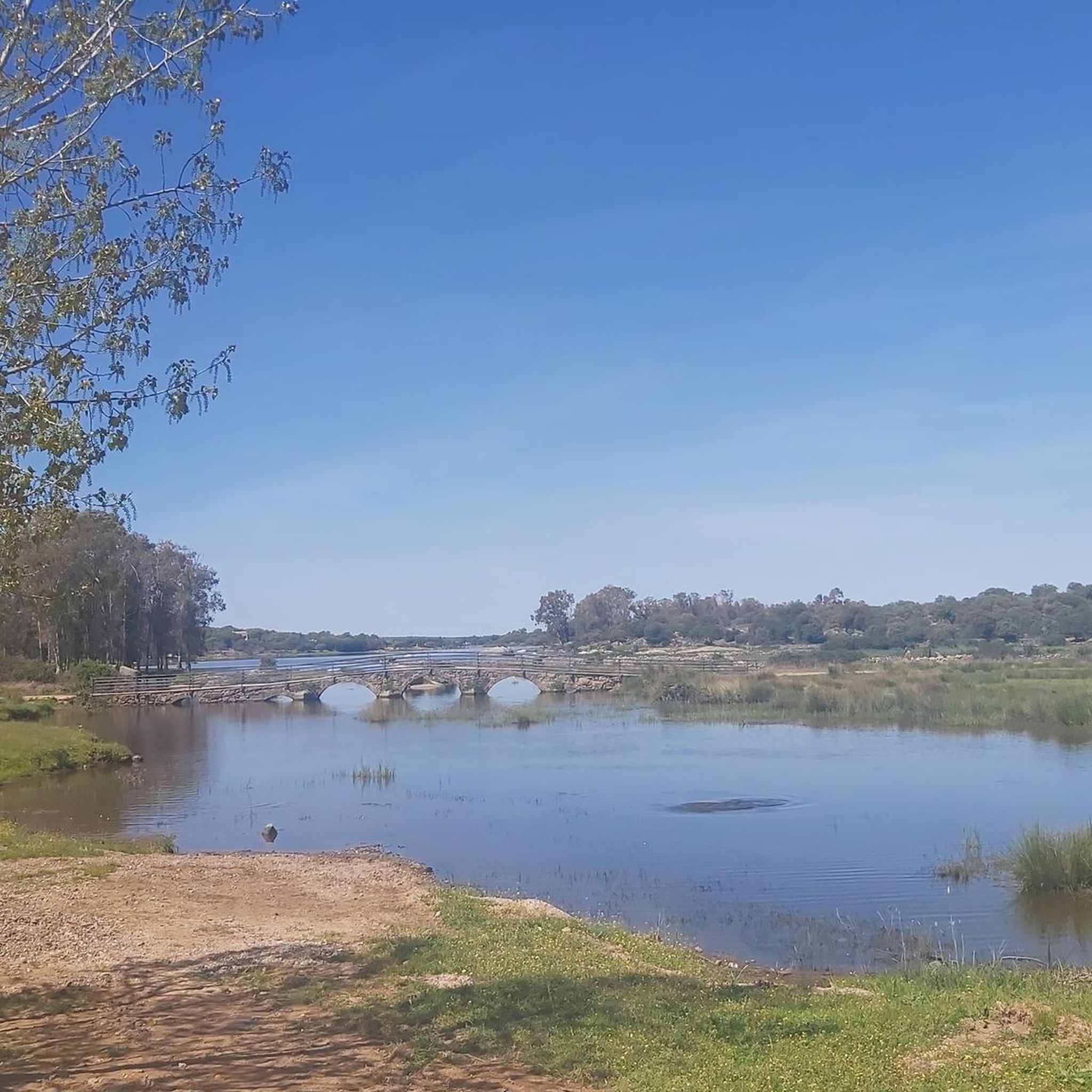
The terrain around Robledillo De Trujillo is characterized by a dry landscape, especially in summer, featuring granite, quartzite, and slate formations. You'll encounter areas of scrubland, but also small pockets of Mediterranean forests with holm oaks, cork oaks, and stone pines. Waterways like the Gibranzos river and the Magdalena and Hondonada streams also crisscross the area.
Are there any circular hiking routes available in the area?
Yes, many of the hiking opportunities around Robledillo De Trujillo are circular routes. For example, you can explore the landscape around Torre de Santa María on the Turtle Rock – Tower loop from Torre de Santa María, which is a moderate 5.7-mile trail.
What kind of natural features or landmarks can I expect to see on a hike?
Hikers can discover unique natural features and historical sites. A notable natural monument is The Rock That Moves, known for its peculiar shape and panoramic views. You might also encounter the Canaleja de la Torre Spring and Ruins, offering a glimpse into ancient settlements with a water source.
What is the best time of year to go hiking in Robledillo De Trujillo?
Given the dry landscape, especially during summer, spring and autumn are generally the most pleasant seasons for hiking around Robledillo De Trujillo. Temperatures are milder, and the natural scenery is vibrant, making for a more comfortable experience on the trails.
Are there family-friendly hiking options in Robledillo De Trujillo?
While specific 'easy' routes aren't highlighted, the region offers several moderate trails that are approximately 8 to 9 kilometers (5-5.6 miles) in length, suggesting accessible options for various skill levels. These could be suitable for families with some hiking experience.
Can I bring my dog on the hiking trails?
The natural environment of Robledillo De Trujillo, with its open landscapes and trails, is generally welcoming for dogs. However, it's always recommended to keep your dog on a leash, especially in areas where wildlife might be present or near agricultural land, and to carry water for both yourself and your pet, particularly during drier seasons.
What do other hikers enjoy most about the trails here?
The hiking trails around Robledillo De Trujillo are highly rated by the komoot community, with an average score of 4.7 stars from over 20 reviews. Hikers often praise the varied terrain, which includes granite and slate formations, and the peaceful atmosphere of the Mediterranean forests.
Are there any trails that offer significant elevation or viewpoints?
Yes, the area includes various elevated points such as Barrera Alta, Lorenzo, and Puerto Viejo mountains, as well as the hills of Fuente Barrera. The Hiking loop from Santa Cruz de la Sierra, for instance, features over 360 meters of elevation gain, offering opportunities for scenic views.
Where can I find parking for the hiking trailheads?
Many of the hiking routes, especially circular ones, often start from nearby towns or villages like Torre de Santa María or Santa Cruz de la Sierra. These locations typically offer parking facilities, making it convenient to access the trailheads. Specific parking details would be available on individual route pages.
Are there any longer hiking routes for more experienced hikers?
For those looking for a longer excursion, the Urban Olive Tree in Ruanes loop from Santa Ana covers a distance of 7.7 miles (12.4 km). This moderate trail provides a more extended experience through the region's diverse landscape.
What kind of vegetation and wildlife can I observe while hiking?
The region features Mediterranean forests with abundant holm oaks and oaks, alongside species like chestnut, cork oak, and stone pine. While extensive deforestation has led to a prevalence of scrubland, these pockets of forest still support local flora and fauna. Keep an eye out for birds and other small wildlife typical of dry Mediterranean climates.
Are there any historical sites or traditional architecture to see?
Beyond the natural beauty, the traditional architecture of Robledillo de Trujillo itself, characterized by granite masonry and ashlar, adds cultural charm. Additionally, the Village Church – Ruins of Torre de Piedra loop from Torre de Santa María offers a chance to explore historical elements along your hike.
Most popular routes around Robledillo De Trujillo
Most popular attractions around Robledillo De Trujillo

Get inspired with the komoot mobile app


Explore more
Browse the best Hikes in other regions.
