The best walks and hikes around Acebo
4.5
(31)
225
hikers
24
hikes
Hiking trails around Acebo are characterized by diverse natural features within the Sierra de Gata region. The area is known for the River Rivera de Acebo, which features natural pools and waterfalls, providing scenic points along many routes. Elevated points, such as the summit of El Cerro de La Ventosa, offer climbs through varied flora including heathers, white brooms, and rockroses. This landscape provides a range of paths suitable for outdoor enthusiasts.
Best hiking trails around Acebo
- The most popular hiking route is San Martín de Trevejo to Puerto de San Martín via Calzada Romana, a 7.8 miles (12.6 km) trail that takes 3 hours 54 minutes to complete. This moderate route follows an ancient Roman road, offering historical context alongside natural scenery.
- Another top favourite among local hikers is Jálama from Puerto de San Martin, a moderate 6.4 miles (10.2 km) path. This route ascends towards the Jálama summit, providing expansive views of the surrounding landscape.
- Local hikers also love the Jálama — circular from DSA-390, a 6.1 miles (9.8 km) trail leading through varied terrain and offering panoramic vistas, often completed in about 3 hours 25 minutes.
- Hiking around Acebo is defined by river valleys, natural pools, and elevated points with diverse flora. The network offers options for different ability levels, from easy walks to more challenging ascents.
- The routes in Acebo are highly rated by the komoot community with an average score of 4.5 stars from over 20 reviews. More than 180 hikers have used komoot to explore Acebo's varied terrain.
Last updated: June 27, 2026
4.2
(5)
45
hikers
12.6km
03:54
490m
490m
Moderate hike. Good fitness required. Easily-accessible paths. Suitable for all skill levels.
5.0
(3)
17
hikers
10.2km
03:17
420m
420m
Moderate hike. Good fitness required. Mostly accessible paths. Sure-footedness required.

Sign up for free
4.3
(3)
7
hikers
9.76km
03:25
490m
490m
Moderate hike. Good fitness required. Mostly accessible paths. Sure-footedness required.
4.5
(2)
2
hikers
10.2km
03:21
420m
420m
Hard hike. Good fitness required. Sure-footedness, sturdy shoes and alpine experience required.
4.3
(4)
34
hikers
5.80km
01:45
190m
190m
Easy hike. Great for any fitness level. Easily-accessible paths. Suitable for all skill levels.
Get access to more routes and recommendations from other explorers.
Sign up for free
Already have an account?
Our route recommendations are based on thousands of hikes, rides, and runs completed by other people on komoot.
Start today with a free account
Your next adventure awaits.
Login or Signup
Tips from the Community

At 1,487 metres above sea level, it is one of the highest peaks in the Sierra de Gata. The route to climb Pico Jálama is popular with hikers and offers spectacular views of the region. The route begins in the town of Acebo and passes by the Mirador de La Ventosa and Puerto de Perales.
7
0
San Martín de Trevejo is a Spanish municipality in the province of Cáceres, in the autonomous community of Extremadura. It is located in the extreme northwest, in the Sierra de Gata region, very close to the Portuguese border and the province of Salamanca. It is located in a valley at the foot of Mount Jálama. Its inhabitants are mañegas and mañegus, and their peculiar speech or “A Fala” is called “Mañegu”. It has been listed as One of the Most Beautiful Towns in Spain since 2019.
2
0

This is a nice hiking trail with lots of beautiful trees and shade. It's also a good place to hunt for mushrooms at the right time of year.
2
0
This mountain pass is also the line between Extremadura and Castilla León. The trail to here connects to the highway at this point.
1
0
This small and pleasant town is located in a valley full of olive and oak trees that make the landscape more beautiful.
1
0

In the valley surrounded by olive and oak trees the small town of San Martín de Trevejo. Great place to stop for a coffee and a bite to eat.
1
0

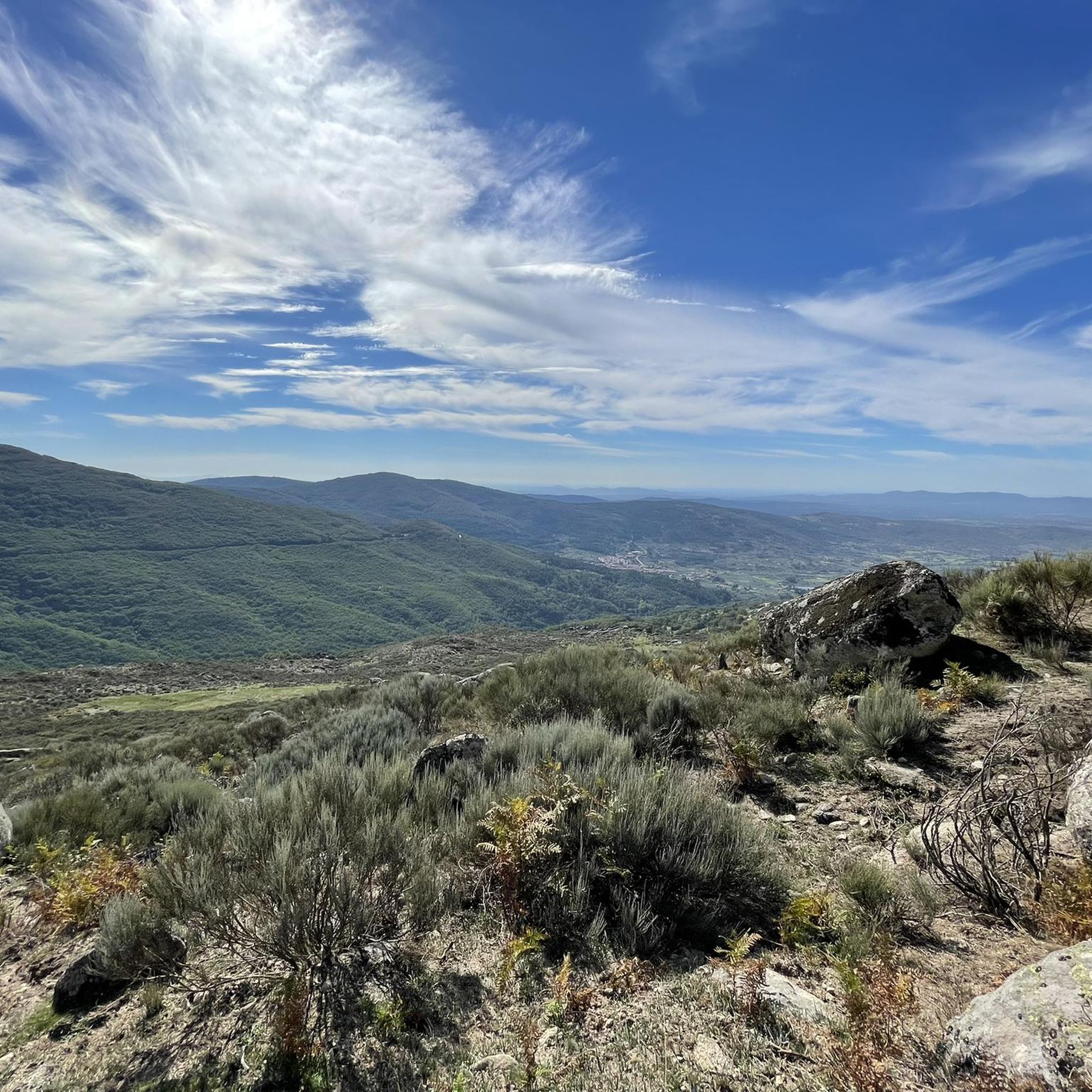
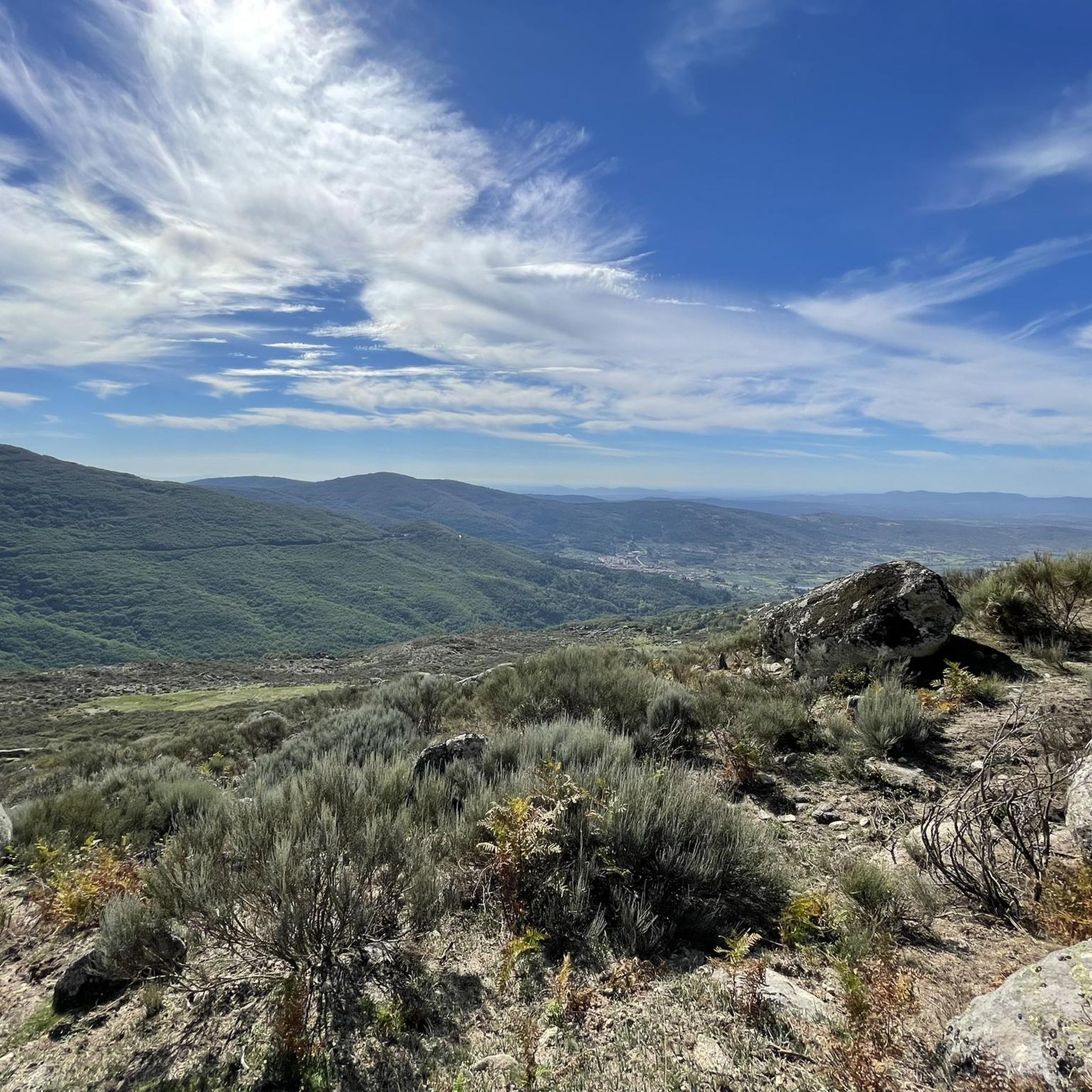
The town is located in the extreme northwest of the peninsula, in the Sierra de Gata region, very close to the Portuguese border and the province of Salamanca. It is nestled in a valley at the foot of Mount Jálama.
0
0

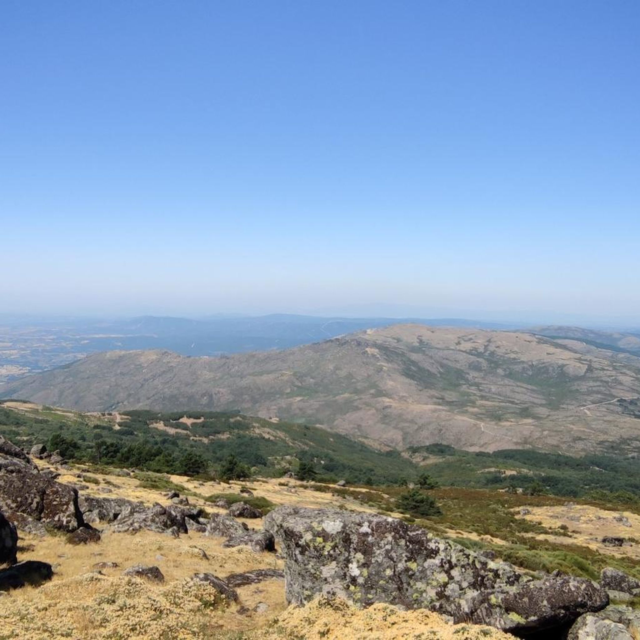
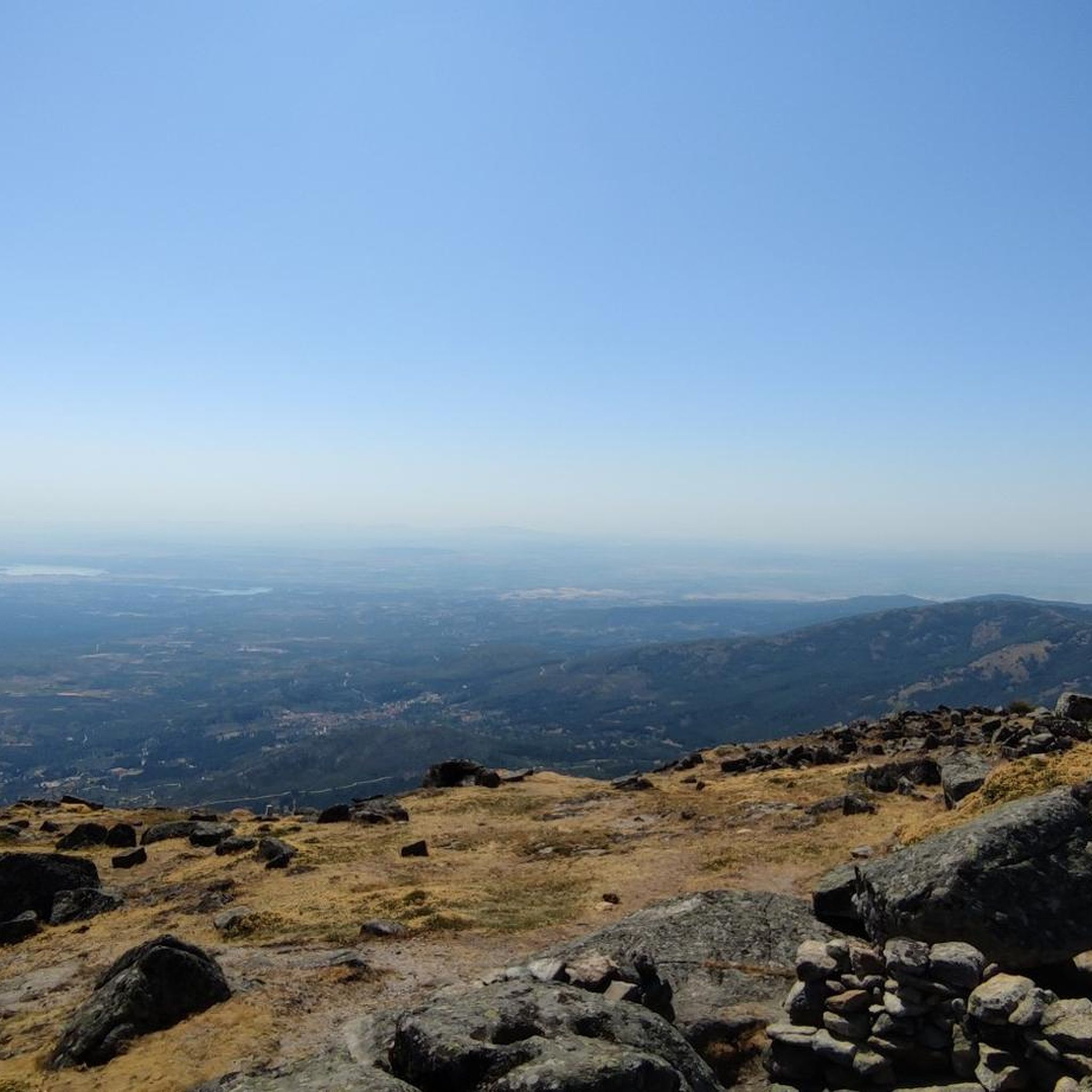
The Jálama peak with its summit at 1487 meters above sea level is one of the highest peaks in the northwest of Extremadura and the views are amazing. Going up there requires good physical condition, the path you take will be equally steep both going up and down, remember to take everything you need, on the way you will not have anything available, only beautiful views!
2
0
Frequently Asked Questions
How many hiking trails are available around Acebo?
There are over 20 hiking trails around Acebo, offering a variety of experiences. These include 4 easy routes, 12 moderate routes, and 4 more challenging options.
Are there any family-friendly hiking trails in Acebo?
Yes, Acebo offers several easy routes suitable for families. One such option is the San Martín de Trevejo loop from San Martín de Trevejo, which is 5.8 km long and takes around 1 hour 45 minutes to complete.
What kind of natural attractions can I expect to see on hikes in Acebo?
Hiking in Acebo often features the beautiful River Rivera de Acebo, known for its natural pools and waterfalls, such as those along the Little Bridges of the Waterfall of La Cervigona Path. You can also explore elevated points like the summit of Pico Jálama, offering diverse flora including heathers and rockroses.
Are there any circular hiking routes in Acebo?
Yes, Acebo has several circular routes. A popular choice is the Jálama — circular from DSA-390, a moderate 9.8 km trail that provides panoramic vistas and typically takes about 3 hours 25 minutes.
Where can I find natural pools for swimming or relaxation along the trails?
The River Rivera de Acebo is famous for its natural pools. The 'El Jevero' recreational area, located two kilometers from Acebo, is a great starting point where you can find refreshing natural pools. The River Rivera de Acebo Pools Path specifically covers three pools, starting near El Molino de Acebo and continuing towards 'El Jevero'. You can also find the Natural Pools of the Jevero River (Acebo) and Riofrío Natural Pool.
What do other hikers enjoy most about hiking in Acebo?
The komoot community highly rates the trails in Acebo, with an average score of 4.5 stars from over 20 reviews. Hikers often praise the diverse natural features, including the scenic river valleys, natural pools, and the varied flora found on elevated paths.
Are there any historical points of interest along the hiking trails?
Yes, some routes offer historical context. For example, the San Martín de Trevejo to Puerto de San Martín via Calzada Romana follows an ancient Roman road, combining natural scenery with a glimpse into the past. You can also visit the historic village of San Martín de Trevejo.
What kind of vegetation can be seen on the trails in Acebo?
The trails in Acebo showcase varied flora, especially on elevated paths. For instance, the path leading to El Cerro de La Ventosa summit features heath, white broom, and rockrose vegetation, adding to the natural beauty of the hikes.
Are there any challenging hikes for experienced hikers?
Yes, for experienced hikers seeking a challenge, there are difficult routes available. The Pico Jálama Loop Trail is a difficult 10.2 km route that offers a demanding ascent and rewarding views.
What is the 'El Jevero' recreational area and how is it connected to hiking?
The 'El Jevero' recreational area is a key hub for hikers in Acebo. Located two kilometers from the municipality, it serves as a convenient starting point for many trails, including the River Rivera de Acebo Nature Trail, and offers amenities for visitors, along with natural pools for swimming.
Can I reach a summit with panoramic views on a hike in Acebo?
Absolutely. The Jálama from Puerto de San Martin route ascends towards the Pico Jálama Summit, providing expansive views of the surrounding landscape. Another option is the El Cerro de La Ventosa Path, which leads to its 794-meter summit.
Most popular attractions around Acebo

Get inspired with the komoot mobile app


Explore more
Browse the best Hikes in other regions.
