The best MTB trails around Chapinería
4.3
(91)
1,760
riders
102
rides
Mountain biking around Chapinería offers a diverse landscape characterized by rolling hills, river valleys, and open countryside. The region features a network of trails that often include significant elevation changes, providing varied challenges for mountain bikers. Many routes are loops, guiding riders through natural areas and past points of interest. The terrain is well-suited for extended rides, with paths winding through both forested sections and more exposed areas.
Best mountain bike trails around Chapinería
- The most popular mountain bike trail…
Last updated: July 5, 2026
128
riders
53.5km
04:45
820m
820m
Moderate mountain bike ride. Good fitness required. Advanced riding skills necessary.
5.0
(1)
76
riders
43.4km
03:52
560m
560m
Moderate mountain bike ride. Good fitness required. Suitable for all skill levels.

Sign up for free
83
riders
Hard mountain bike ride. Very good fitness required. Advanced riding skills necessary. Some portions of the route may require you to push your bike.
4.0
(3)
53
riders
51.2km
04:43
1,020m
1,020m
Hard mountain bike ride. Very good fitness required. Advanced riding skills necessary. Some portions of the route may require you to push your bike.
5.0
(1)
41
riders
36.7km
02:50
500m
500m
Moderate mountain bike ride. Good fitness required. Suitable for all skill levels.
Get access to more routes and recommendations from other explorers.
Sign up for free
Already have an account?
Our route recommendations are based on thousands of hikes, rides, and runs completed by other people on komoot.
Start today with a free account
Your next adventure awaits.
Login or Signup
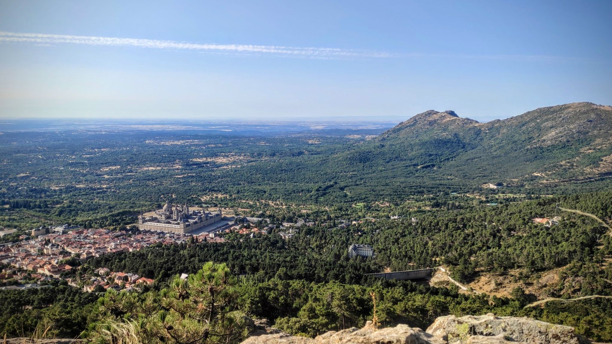
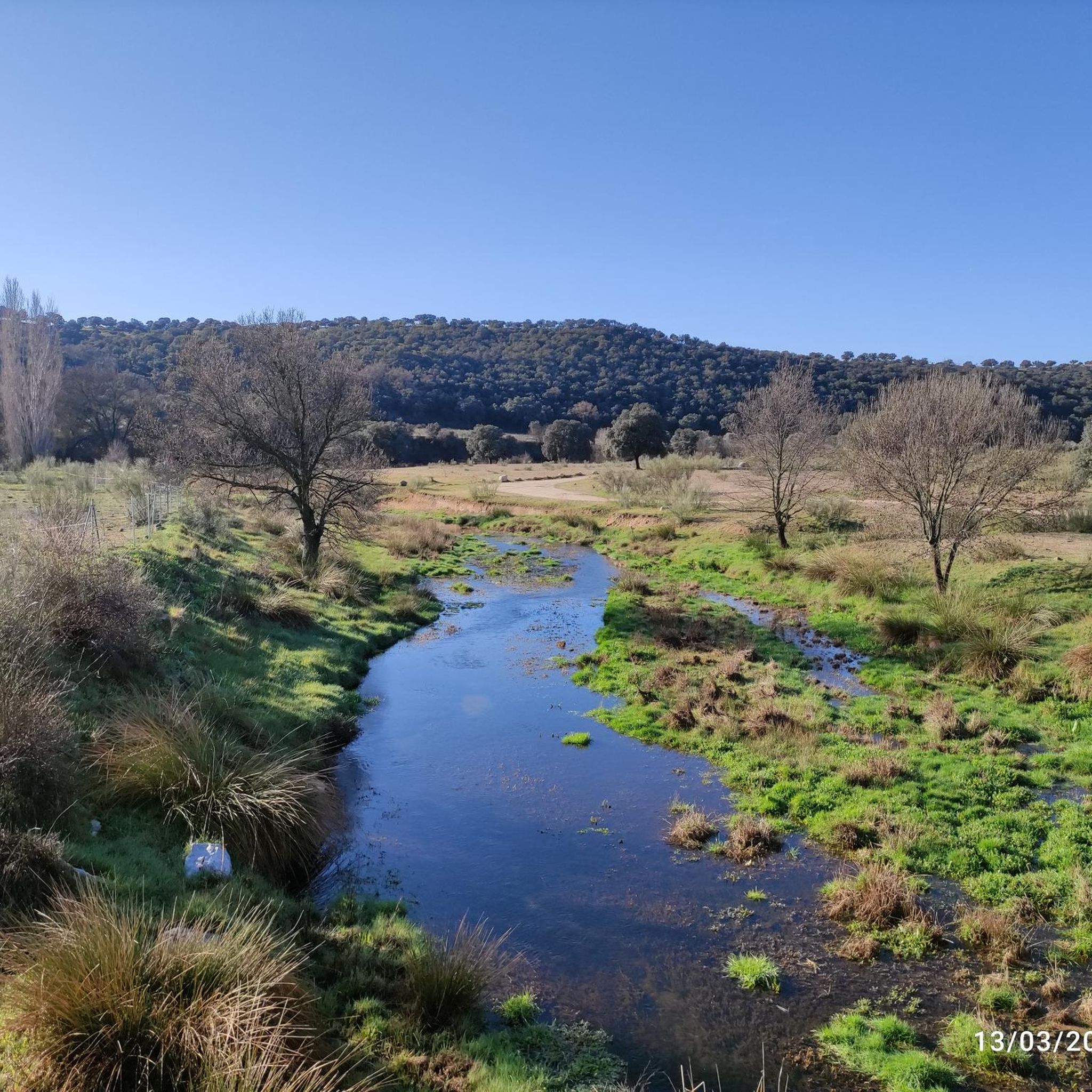
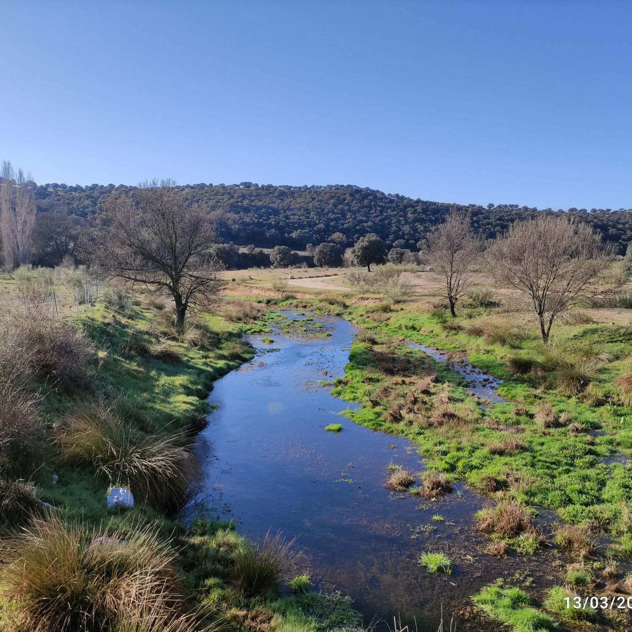
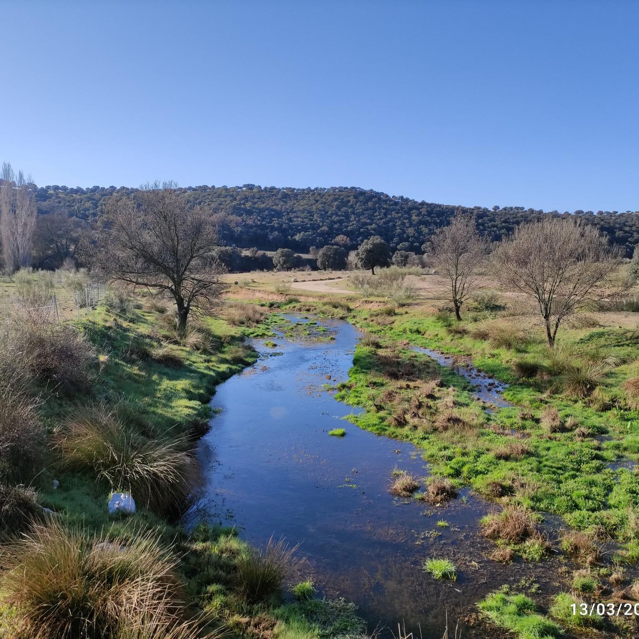

Other adventures around Chapinería

Tips from the Community

In this beautiful square there is a fountain but unfortunately it had no water. However, nearby there are supermarkets where you can buy water or food. Good place to take a break.
0
0
Beautiful and steep descent to the Picadas reservoir via the Barranco del Fresno. In certain spots, the views between the pine forests are spectacular.
0
0

An impressive monastic complex of medieval origin, founded in the 12th century and surrounded by a privileged natural environment. Its stone walls and well-preserved ruins evoke centuries of history linked to the Cistercian order.
0
0
The bridge over the Alberche River is a key crossing point that allows you to cross this important body of water in the Sierra Oeste de Madrid area. From it, you get pleasant views of the river and its riparian vegetation, making it a notable spot on the route.
0
0

A fairly steep hill finishes this trail. When you get there, take advantage of the views; they're beautiful.
1
0

Impressive antenna installation. Beautiful road with little traffic.
0
0

Beautiful village with an enviable environment
0
1
affordable but calm
0
0
Frequently Asked Questions
How many mountain bike trails are available around Chapinería?
There are over 100 mountain bike trails documented on komoot around Chapinería, offering a wide range of options for different skill levels and preferences.
Are there easy mountain bike trails suitable for beginners in Chapinería?
Yes, Chapinería offers 18 easy mountain bike trails. These routes typically feature less challenging terrain and elevation changes, making them suitable for those new to mountain biking or looking for a more relaxed ride.
What is the typical length and duration of mountain bike trails in Chapinería?
The mountain bike trails in Chapinería vary significantly in length and duration. For example, a moderate route like Camino de la Mata – NASA Antennas loop from Navas del Rey is about 33.2 miles (53.5 km) and takes around 4 hours 45 minutes, while a more challenging one like Bridge Over the Perales River – Navahonda Hermitage loop from Colmenar del Arroyo covers 35.0 miles (56.3 km) and can take over 5 hours.
Are there advanced or difficult mountain bike trails in Chapinería?
Yes, for experienced riders seeking a challenge, there are 34 difficult mountain bike trails around Chapinería. These routes often feature significant elevation gains and technical sections, such as the Río Alberche – Navahonda Hermitage loop from Navas del Rey, which includes over 1000 meters of elevation gain.
Are most mountain bike routes in Chapinería loop trails?
Yes, many of the mountain bike routes in Chapinería are designed as loops. This allows riders to start and finish at the same point, making logistics easier. Examples include the Geodetic Point – Bridge Over the Perales River loop from Navas del Rey and the Mountainbike loop from Navas del Rey.
What kind of terrain can I expect on mountain bike trails in Chapinería?
The terrain around Chapinería is diverse, characterized by undulating hills, river valleys, and open countryside. You'll encounter a mix of forested sections and more exposed areas, with paths winding through natural landscapes and past points of interest.
What attractions or landmarks can I see along the mountain bike trails in Chapinería?
Many trails pass by interesting landmarks and natural features. You might encounter the Navahonda Hermitage, the Madrid Deep Space Communications Complex, or the scenic Picadas Reservoir. Some routes also feature geodetic points or medieval bridges.
What do other mountain bikers say about the trails in Chapinería?
The mountain bike trails in Chapinería are highly regarded by the komoot community, holding an average rating of 4.3 stars from over 70 reviews. Riders often praise the varied terrain, scenic views, and the network of trails that cater to different ability levels.
When is the best time of year to go mountain biking in Chapinería?
The best time to go mountain biking in Chapinería is typically during spring (April-May) and autumn (September-October) when temperatures are milder and the natural scenery is at its most vibrant. Summers can be very hot, and winters can be cooler and wetter, though riding is possible year-round.
Are there any viewpoints or scenic spots along the mountain bike routes?
Yes, many routes offer excellent viewpoints. For instance, the Camino de la Mata – NASA Antennas loop from Navas del Rey provides views towards the impressive NASA antennas. The region's rolling hills and river valleys naturally create numerous scenic overlooks, including spots like the View near Cerro Alarcón Reservoir.
Is public transport available to reach the mountain biking areas in Chapinería?
Chapinería is generally accessible by regional bus services from larger towns or Madrid, though direct access to specific trailheads might require a short ride or taxi. It's advisable to check local bus schedules and routes in advance for the most convenient options.
Are there family-friendly mountain bike trails in Chapinería?
While many trails in Chapinería feature significant elevation changes, there are 18 easy routes that could be suitable for families with some mountain biking experience. These trails tend to be shorter and less technical, offering a more relaxed ride through the countryside.
Most popular attractions around Chapinería

Get inspired with the komoot mobile app


Explore more
Browse the best MTB trails in other regions.
