The 18 Most Amazing Peaks around Luzaide/Valcarlos
Mountain peaks around Luzaide/Valcarlos are located in the Pyrenees, near the border between France and Spain. This region is characterized by its mountainous terrain and historical significance, particularly its connection to the Camino de Santiago. The area offers a variety of peaks and passes, providing diverse natural landscapes for exploration. It serves as a notable point for experiencing the Pyrenean environment.
Best mountain peaks around Luzaide/Valcarlos
- The most popular mountain peaks is Hautza Summit, a summit that peaks at…
Last updated: October 23, 2026
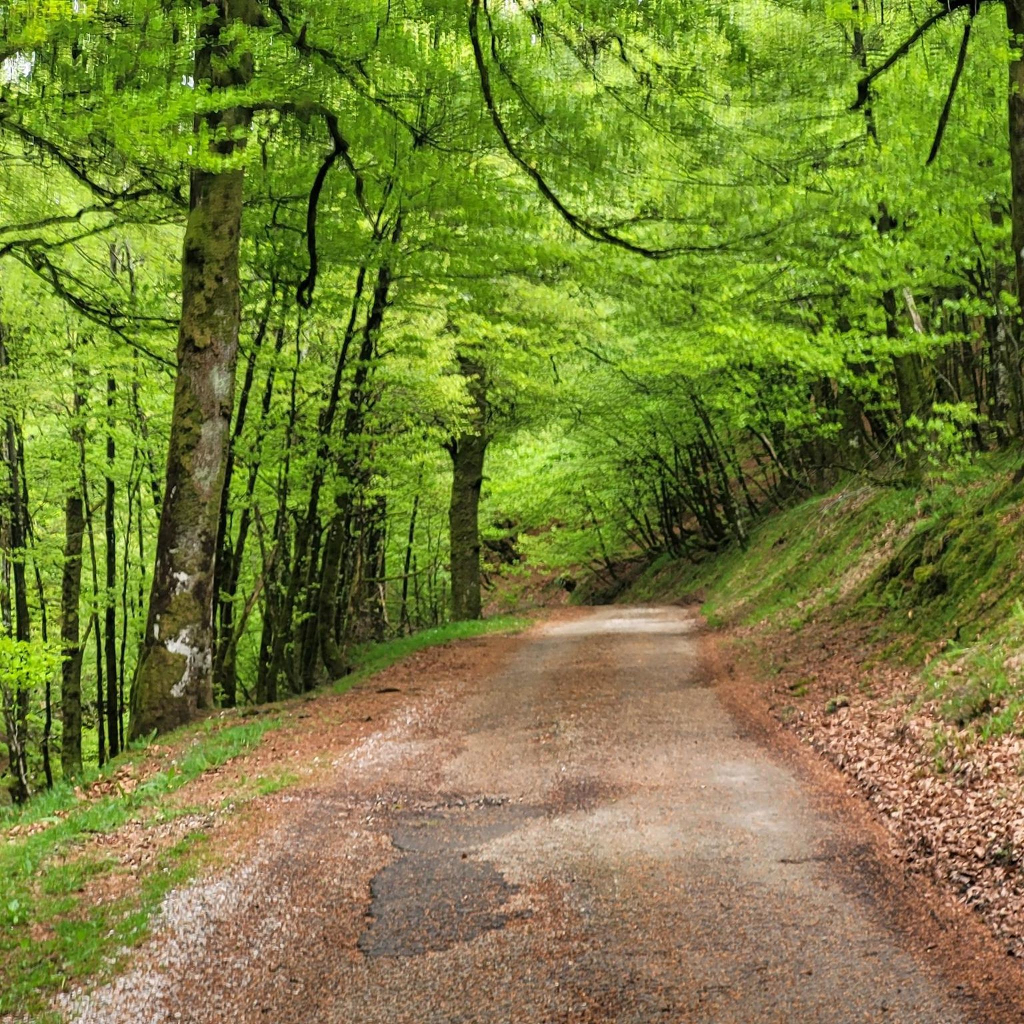
Roland Fountain
Highlight • Natural Monument
Translated by Google •
Tip by

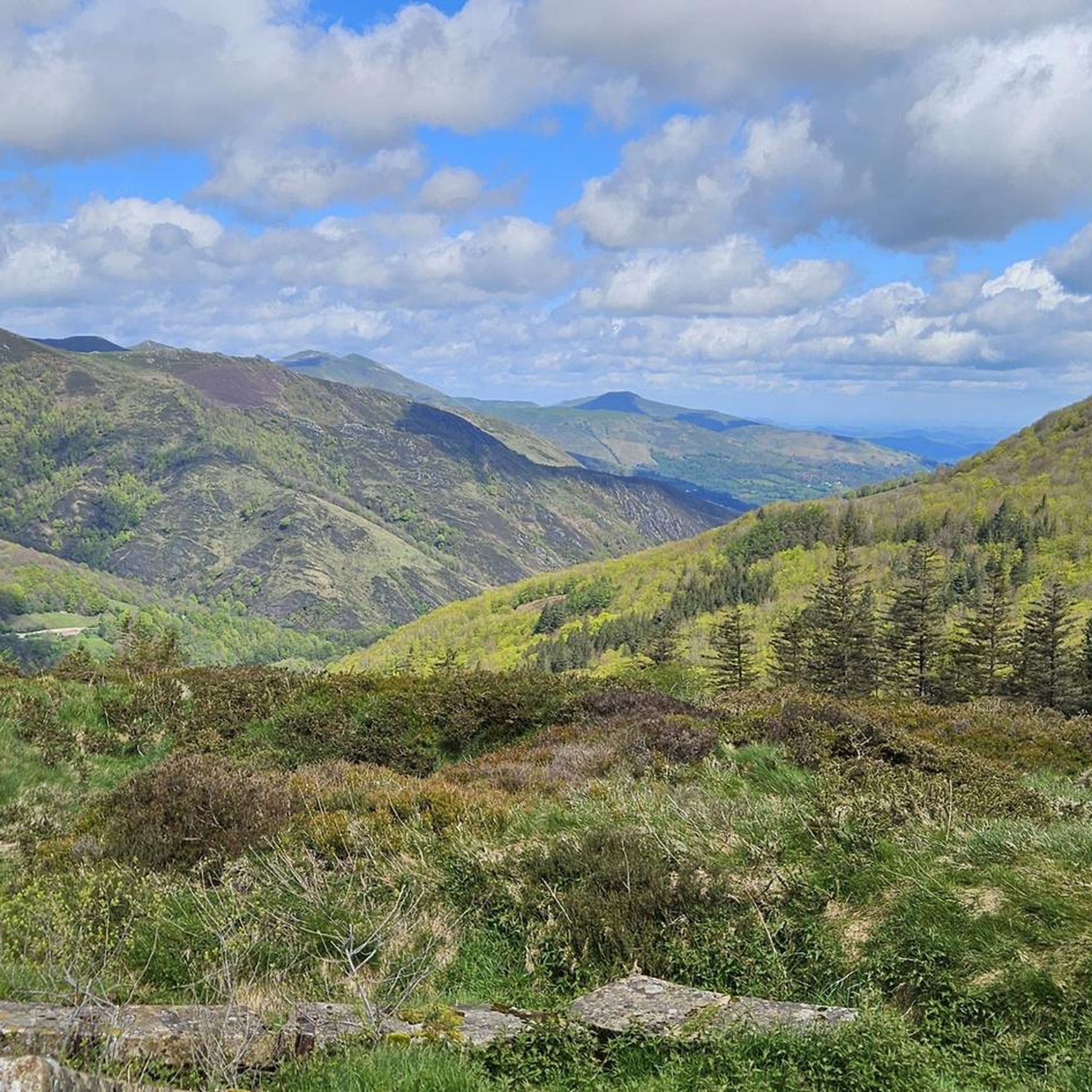
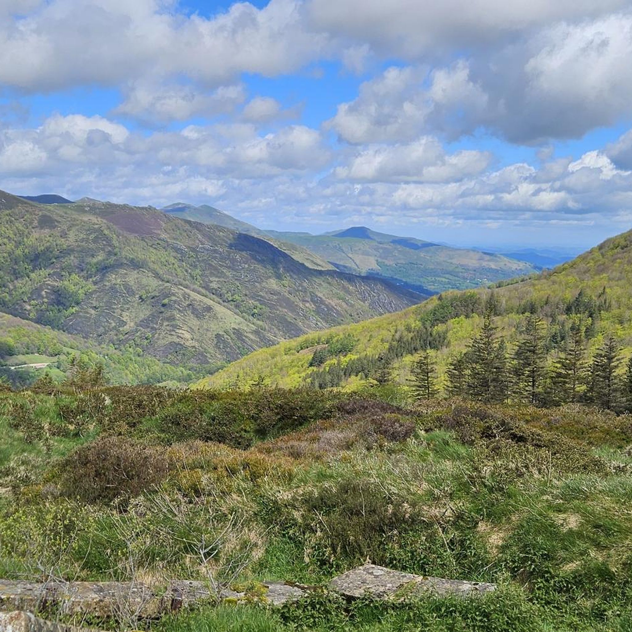
Munhoa Summit
Highlight • Summit
Translated by Google •
Tip by

Sign up now to discover places like this
Get recommendations on the best single tracks, peaks, & plenty of other exciting outdoor places.
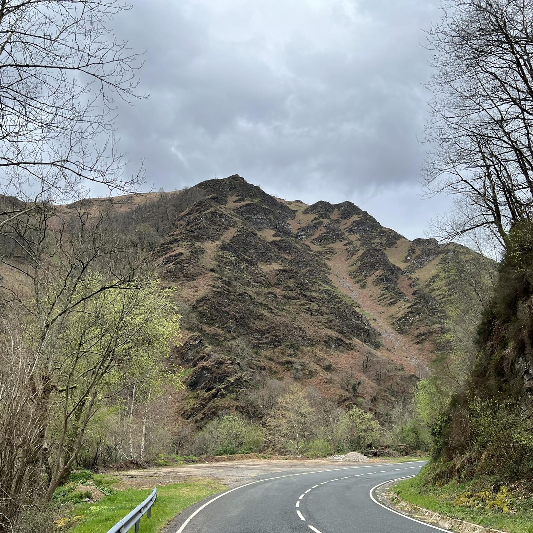
Hautza Summit
Highlight • Summit
Translated by Google •
Tip by

Lepoeder Pass Viewpoint
Highlight • Viewpoint
Translated by Google •
Tip by

Mendiaundi Summit
Highlight • Summit
Translated by Google •
Tip by

Sign up for free to discover even more peaks around Luzaide/Valcarlos.
Already have an account?
Start today with a free account
Your next adventure awaits.

Tips from the Community

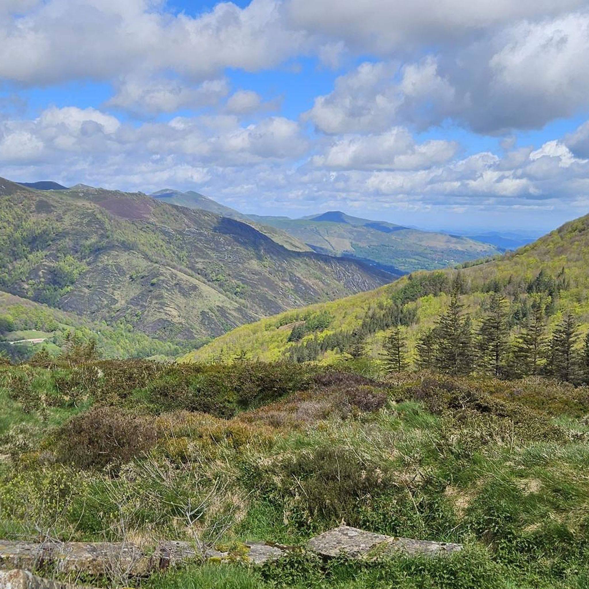
The Lepoeder Pass (Col de Lepoeder), standing at roughly 1,430 meters, is the highest point and the ultimate climax of the Route of Napoleon on the Camino de Santiago. Reaching this viewpoint is one of the most physically demanding but deeply rewarding moments of the entire trek from France into Spain. Because it is the highest saddle on the route, it is notoriously windy and exposed to the elements. Even on a sunny day, you will likely want to pull on a windbreaker while you stop to take your photos. This viewpoint is a critical junction. From here, you must choose your path down to Roncesvalles: the steep, direct trail that plunges straight through the beautiful but tough woodland, or the slightly longer, gentler paved route that takes you via the Ibañeta Pass.
1
0
The Lepoeder Pass is a magnificent, unforgettable milestone. The Lepoeder Pass (Col de Lepoeder), standing at roughly 1,430 meters, is the highest point and the ultimate climax of the Route of Napoleon on the Camino de Santiago. Reaching this viewpoint is one of the most physically demanding but deeply rewarding moments of the entire trek from France into Spain. Because it is the highest saddle on the route, it is notoriously windy and exposed to the elements. Even on a sunny day, you will likely want to pull on a windbreaker while you stop to take your photos. This viewpoint is a critical junction. From here, you must choose your path down to Roncesvalles: the steep, direct trail that plunges straight through the beautiful but tough woodland, or the slightly longer, gentler paved route that takes you via the Ibañeta Pass.
1
0

This place is full of trash, very dirty, a disgrace!!! The Basque mountains are not trash cans, please respect them. Too many people are behaving badly towards the pastures. Please take your trash back with you; it's disgusting and disrespectful.
1
0

This is the highest point on the Camino over the Pyrenees
1
0

The water tastes good - refill the water bottle!
1
3


Munhoa is a peak in the French Basque Country which rises to 1,023 meters above sea level. Its toponymy finds its origin in the Basque word “muino” which means hill. From this mountain you can admire the valleys of Luzaide and Baïgorry separated by the Adartza massif.
1
0
The Munhoa is a peak in the French Basque Country which culminates at 1,023 meters above sea level. Its toponymy finds its origin in the Basque word muino which means hill. From this mountain you can admire the valleys of Luzaide and Baïgorry separated by the Adartza massif.
2
1
Frequently Asked Questions
What are some popular mountain peaks and passes to explore around Luzaide/Valcarlos?
The region offers several notable peaks and passes. Among the most popular are Hautza Summit, which peaks at 1,306 meters and offers a panorama of the Basque Country, and Munhoa Summit, where you can admire the valleys of Luzaide and Baïgorry. The Ibañeta Pass is also a historically significant location with breathtaking views.
What kind of panoramic views can I expect from the mountain peaks in Luzaide/Valcarlos?
The mountain peaks in Luzaide/Valcarlos offer truly breathtaking panoramic views of the Pyrenees. From Hautza Summit, you can see the Basque Country and surrounding mountains. Munhoa Summit provides views of the Luzaide and Baïgorry valleys, while the Ibañeta Pass offers expansive vistas, especially looking south towards Roncesvalles.
Are there any historically significant sites among the mountain peaks and passes?
Yes, the Ibañeta Pass (Puerto de Ibañeta / Col de Roncevaux) is famously associated with the Battle of Roncesvalles in 778 and is a crucial stage on the Camino Francés of the Camino de Santiago. A stone monument to Roland stands near the pass, commemorating this legendary event. The Roland Fountain is also a notable historical landmark in the area.
What are the difficulty levels for hiking to the peaks in Luzaide/Valcarlos?
The peaks in Luzaide/Valcarlos offer a range of difficulty levels. For example, Hautza Summit is considered challenging, while Munhoa Summit and Elhorriko Kaskoa are generally intermediate. The Mendiaundi - Menditxuri circular trail is classified as a moderate hike.
Are there any family-friendly spots or activities near the mountain peaks?
While many peaks offer more challenging hikes, the Roland Fountain is categorized as family-friendly. It's a great spot to fill up water bottles and learn about the region's history, making it accessible for families.
What unique natural features can be found on these mountain peaks?
Beyond the stunning views, Hautza Summit is known for hundreds of megalithic blocks that give it a mystical atmosphere. The Mendiaundi - Menditxuri loop also takes you through diverse natural settings, including forested areas, before reaching the panoramic summits.
How accessible is the Ibañeta Pass?
The Ibañeta Pass is easily accessible via the National Road N-135, which connects Valcarlos with Roncesvalles. It is generally open year-round, making it a convenient point to visit for its historical significance and panoramic views.
What outdoor activities, besides hiking, can I do near the mountain peaks in Luzaide/Valcarlos?
The area around Luzaide/Valcarlos is excellent for various outdoor activities. You can find numerous MTB trails, including the Urepel and Col de Lindus Loop. There are also great options for cycling routes, such as the View of the Ibañeta Pass loop, and running trails like the Txangoa - Roncesvalles Trail.
What do visitors enjoy most about the mountain peaks in Luzaide/Valcarlos?
Visitors frequently highlight the stunning panoramic views, especially from peaks like Hautza Summit and Munhoa Summit. The historical significance of sites like the Ibañeta Pass and the presence of wild horses and sheep also add to the unique experience.
Can you recommend a specific hiking loop that offers great views?
The Mendiaundi - Menditxuri circular trail, part of the Senda Pirenaica (GR 11), is highly recommended. It's a moderate hike that takes you through forested areas and culminates in spectacular panoramic views of the Pyrenees from the summit of Menditxuri, including nearby mountains like Lindus and Ortzanzurieta.
Where can I find more information about the historical context of the Ibañeta Pass?
The Ibañeta Pass is deeply rooted in history, particularly known for the Battle of Roncesvalles and its role on the Camino de Santiago. For more detailed historical information, you can refer to resources like Wikipedia (German) or Wikipedia (English).
Most popular routes around Luzaide/Valcarlos
Most popular attractions around Luzaide/Valcarlos

Get inspired with the komoot mobile app


Explore more
See even more amazing summits around Luzaide/Valcarlos with these guides:
