The best MTB trails around Santpedor
4.1
(29)
801
riders
33
rides
Mountain biking around Santpedor offers a network of trails through varied terrain. The region features rolling hills and forested areas, with routes often incorporating historical landmarks and natural features. Elevation gains are present on many routes, providing a challenge for mountain bikers. The trails frequently form loops, starting and ending near Santpedor.
Best mountain bike trails around Santpedor
- The most popular mountain bike trail is Cal Pinyot – Dolmen loop from Santpedor, a 26.5 miles (42.7 km) trail that…
Last updated: August 25, 2026
209
riders
43.3km
04:10
880m
880m
Moderate mountain bike ride. Good fitness required. Advanced riding skills necessary.
4.9
(37)
238
riders
Moderate mountain bike ride. Good fitness required. Advanced riding skills necessary.

Sign up for free
3.8
(4)
129
riders
44.3km
04:09
780m
780m
Hard mountain bike ride. Good fitness required. Advanced riding skills necessary. Some portions of the route may require you to push your bike.
5.0
(1)
70
riders
47.6km
04:46
1,040m
1,040m
Hard mountain bike ride. Very good fitness required. Advanced riding skills necessary.
35
riders
45.9km
03:03
490m
490m
Moderate mountain bike ride. Good fitness required. Advanced riding skills necessary.
Get access to more routes and recommendations from other explorers.
Sign up for free
Already have an account?
Our route recommendations are based on thousands of hikes, rides, and runs completed by other people on komoot.
Start today with a free account
Your next adventure awaits.
Login or Signup
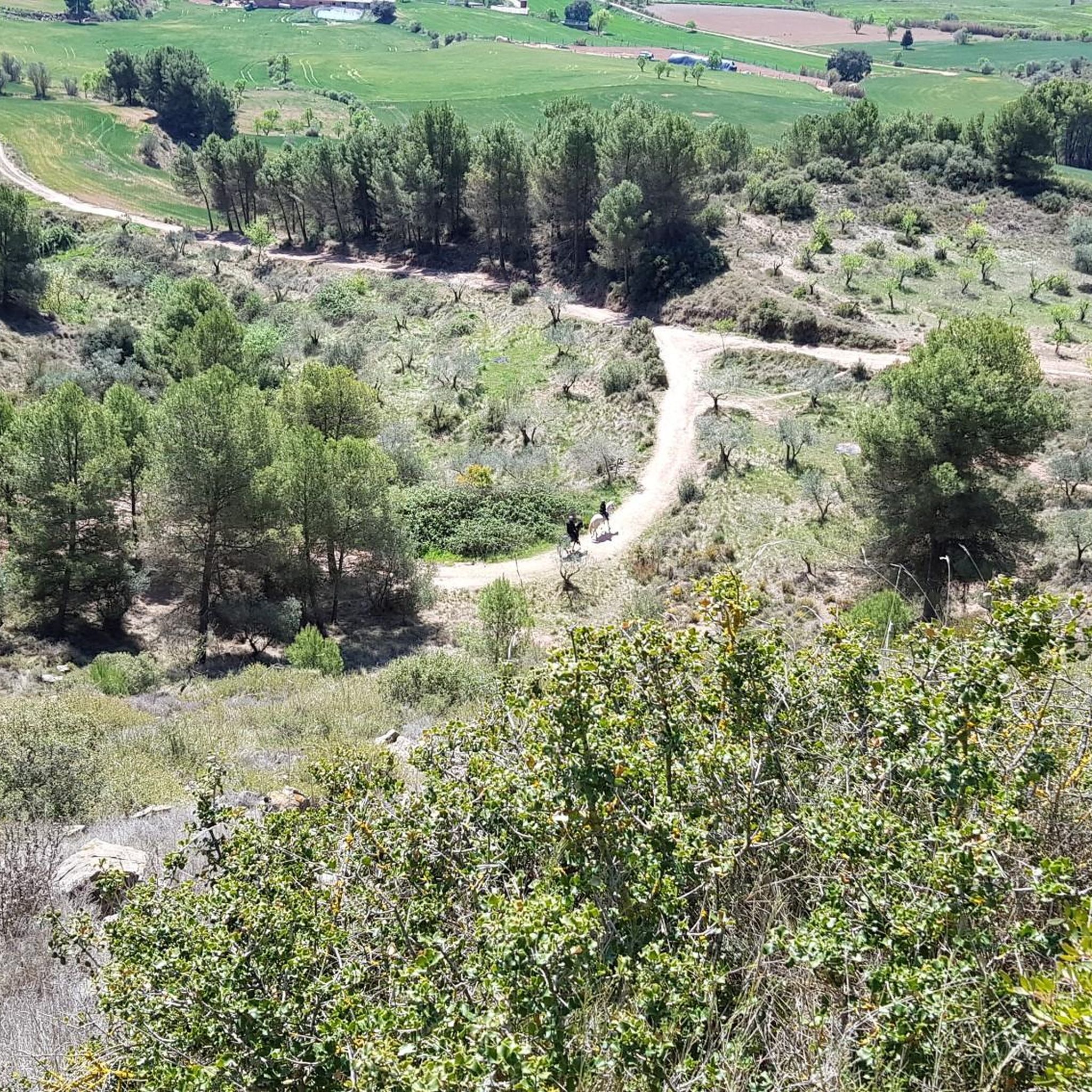

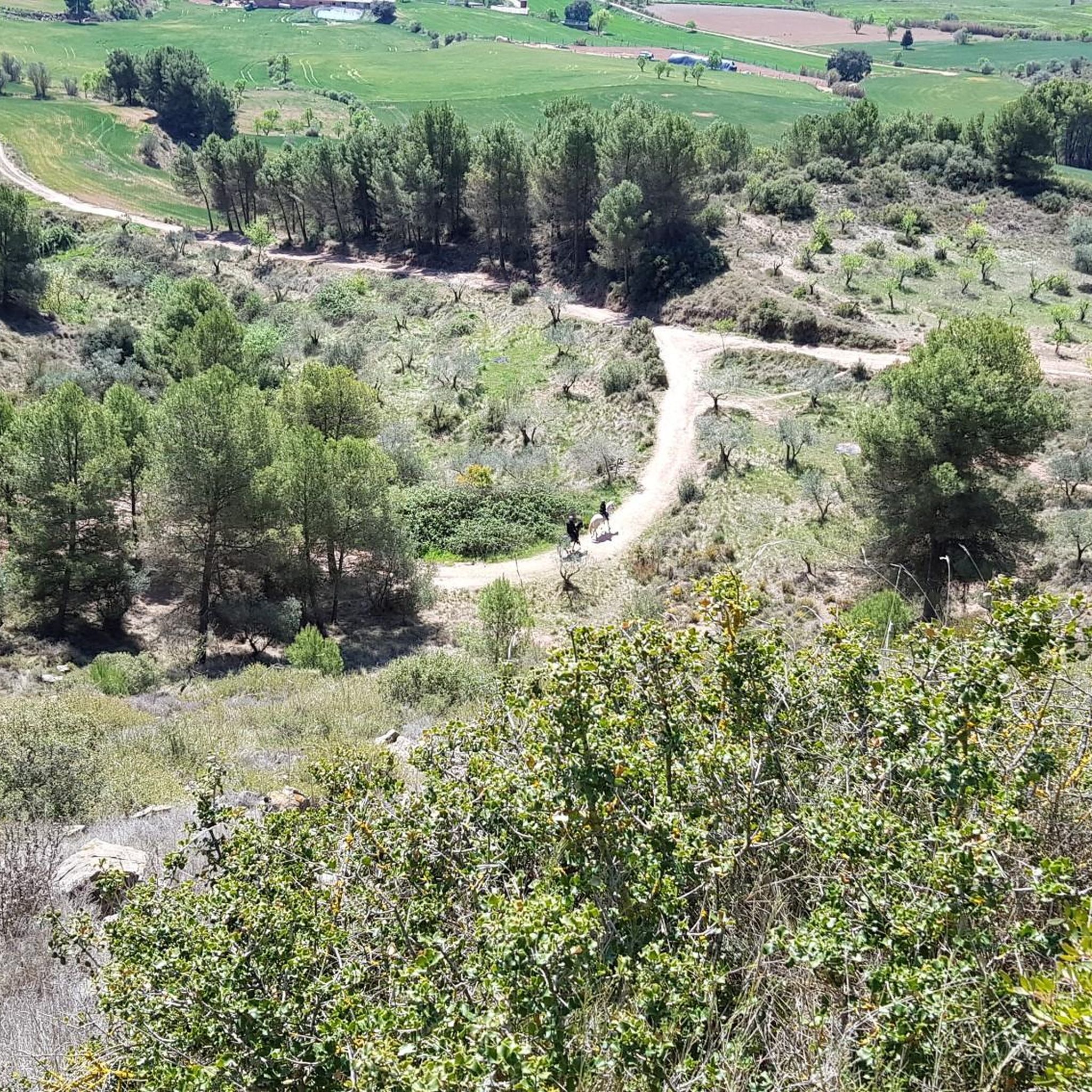
Tips from the Community


The Transéquia As a tribute to the people who built the irrigation canal between 1339 and 1383, which still provides a large flow of water to the city of Manresa today, the Young Chamber of Manresa began organizing the Transéquia in 1985. Starting from Balsareny, it passes through the municipalities of Sallent, Santpedor and Sant Fruitós de Bages and reaches the Parc de l'Agulla de Manresa. In 2014, the Fundació Aigües de Manresa - Junta de la Séquia took over from the Young Chamber and has been organizing it ever since.
0
0
It has been uninhabited since the beginning of the 20th century. The large number of vats and the remarkable dimensions of the set point to the fact that the house lived through a period of economic prosperity that led to the cultivation of vines in this area, which favored the growth of farms and outbuildings linked to this cultivation. Apparently, the rapid spread of phylloxera, and the economic crisis it brought, caused the farmhouse to be abandoned.
0
0

Place next to the river typical of the area
0
0

Cool section of the route, unfortunately very short
0
0

This old bridge over the river Llobregat is located in a very strategic area of passage, as the municipalities of Sant Fruitós de Bages, Sallent, Artés, Calders and Navarcles coincide. It was bombed and abandoned in that state during the Spanish civil war. It appears documented for the first time in 1086, as part of the royal road. Of the primitive Romanesque structure, only a part of the foundations remains on the left side of the river.
1
1
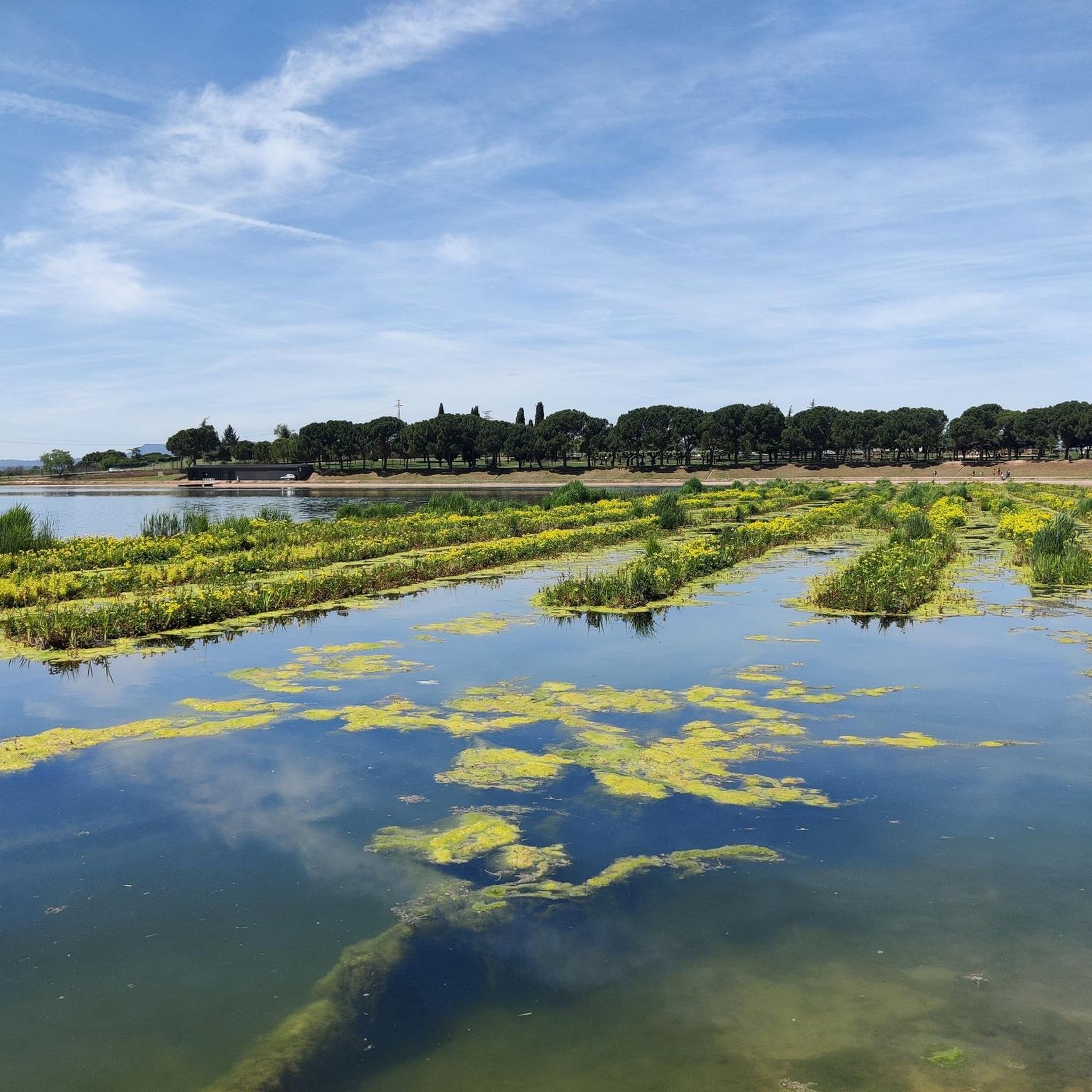
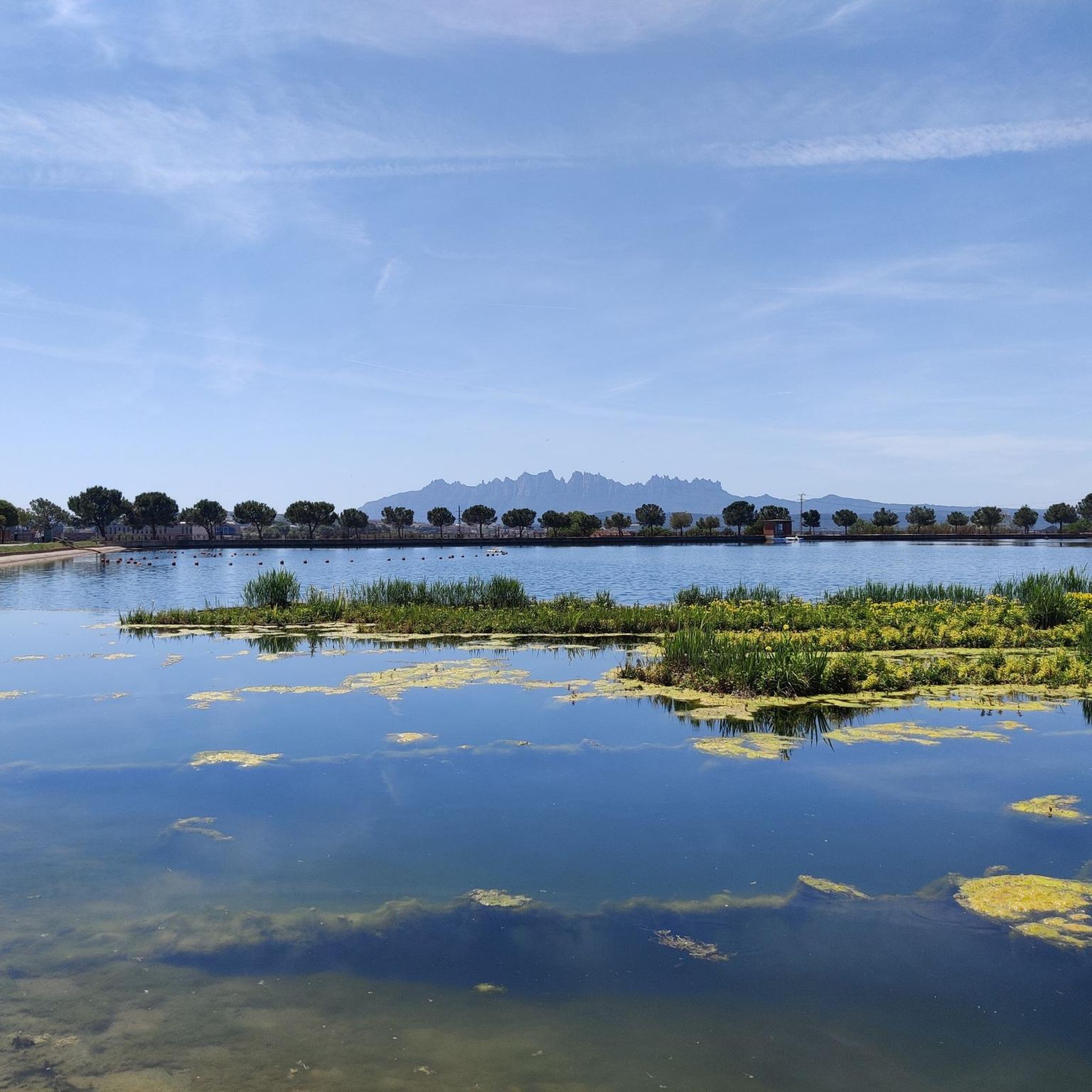
The Corbatera pond (Sallent) is a wet area that occupies the alluvial plain of the Llobregat river from Cabrianes to Pont de Cabrianes. This place is a passage area for migratory birds.
2
1

A beautiful area of marshes next to the Llobregat.
1
1
Frequently Asked Questions
What is the general difficulty level of mountain bike trails in Santpedor?
Santpedor offers a diverse range of mountain bike trails suitable for various skill levels. Out of 45 routes, you'll find 6 easy trails, 27 moderate options, and 12 difficult routes, ensuring there's something for everyone from beginners to experienced riders.
Are there any easy mountain bike trails suitable for beginners in Santpedor?
Yes, Santpedor has 6 easy mountain bike trails perfect for beginners or those looking for a more relaxed ride. These routes typically feature less elevation gain and smoother terrain, allowing for an enjoyable introduction to mountain biking in the area.
Are there any challenging mountain bike routes for advanced riders in Santpedor?
Absolutely. For advanced mountain bikers seeking a challenge, Santpedor offers 12 difficult routes. These trails often feature significant elevation changes and more technical terrain. An example is the Santa Maria de Viladelleva – La Creueta loop from Santpedor, which covers over 30 miles with substantial climbing.
What kind of terrain can I expect on mountain bike trails around Santpedor?
The mountain bike trails around Santpedor are characterized by rolling hills and forested paths. You'll encounter varied landscapes, often incorporating historical sites or canal trails, providing a mix of natural beauty and cultural interest.
Are there mountain bike routes that form a loop in Santpedor?
Yes, many mountain bike routes in Santpedor are designed as loops, allowing you to start and finish in the same location. This is convenient for riders, especially those using personal transport. For instance, the Corbatera Pond – La Séquia Canal Trail loop from Santpedor is a popular moderate option.
What interesting landmarks or attractions can I see along the mountain bike trails in Santpedor?
Many routes in Santpedor pass by historical landmarks and natural features. You can explore sites like the Castellnou Castle Tower or the impressive Balsareny Castle. For natural sights, consider routes near the Collbaix Summit or the scenic Gorg Blau of the Riera de Rajadell.
Are there any mountain bike trails that are shorter or less demanding for a quick ride?
Yes, if you're looking for a shorter, less demanding ride, the Sallent Salt Mountain – Llussà Trail loop from Santpedor is a moderate option covering about 10.5 miles (16.9 km), typically completed in under 1.5 hours. It offers a good balance of scenery and manageable distance.
What do other mountain bikers say about the trails in Santpedor?
The mountain bike routes in Santpedor are highly rated by the komoot community, with an average score of 2.7 stars from 7 reviews. Over 800 mountain bikers have used komoot to explore the varied terrain, often praising the mix of rolling hills, forested paths, and the inclusion of historical sites.
Is there parking available near the mountain bike trails in Santpedor?
While specific parking details vary by trailhead, Santpedor is a town with various parking options. Many loop trails start and end near the town, making it convenient to find parking before heading out on your ride. It's advisable to check local parking regulations upon arrival.
Can I access mountain bike trails in Santpedor using public transport?
Santpedor is generally accessible by public transport, particularly buses connecting to larger towns. While direct access to every trailhead might require a short ride or walk from a bus stop, the town's central location makes it a feasible starting point for many routes. Check local bus schedules for the most current information.
What is the best time of year for mountain biking in Santpedor?
The Mediterranean climate of Santpedor generally makes spring and autumn ideal for mountain biking, offering pleasant temperatures and less extreme weather. Summers can be hot, especially midday, while winters are typically mild but can have cooler, wetter days. Always check the local weather forecast before your ride.
Most popular routes around Santpedor
Most popular attractions around Santpedor

Get inspired with the komoot mobile app


Explore more
Browse the best MTB trails in other regions.
