The best running trails around Noviercas
5.0
(1)
116
runners
20
runs
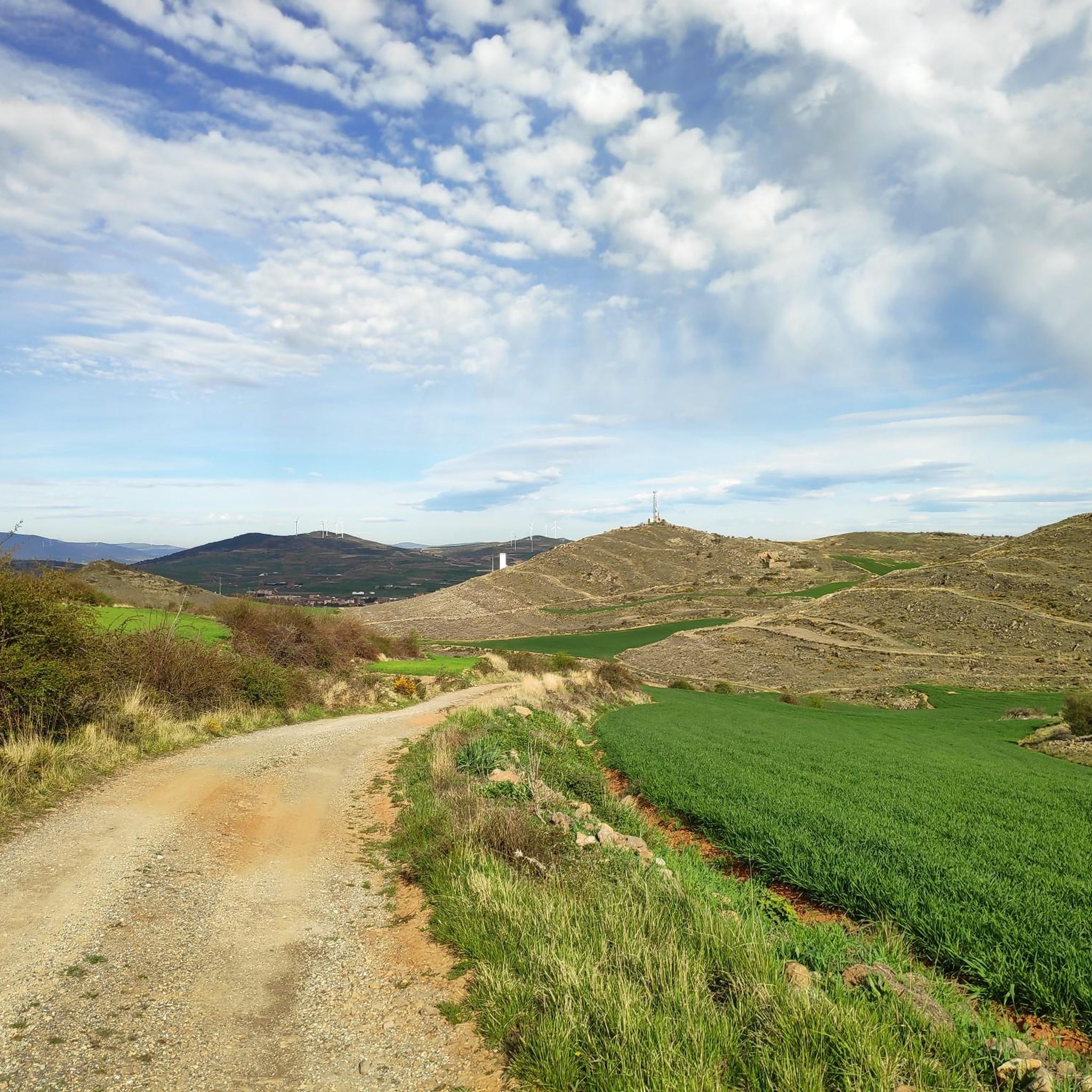
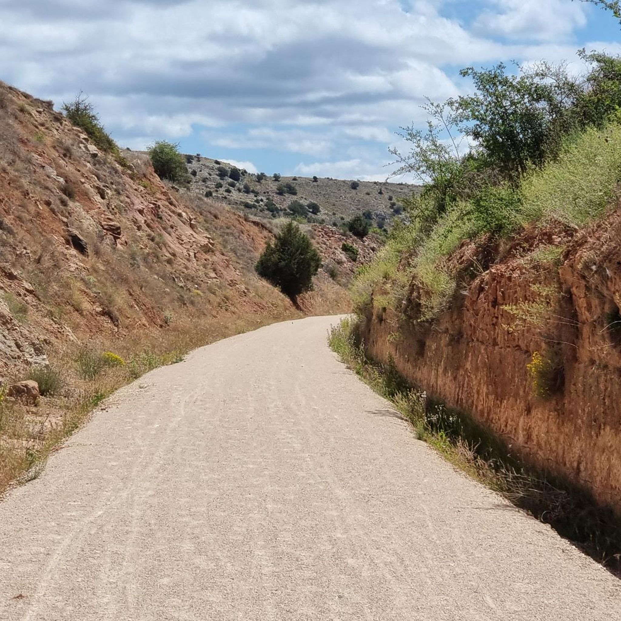
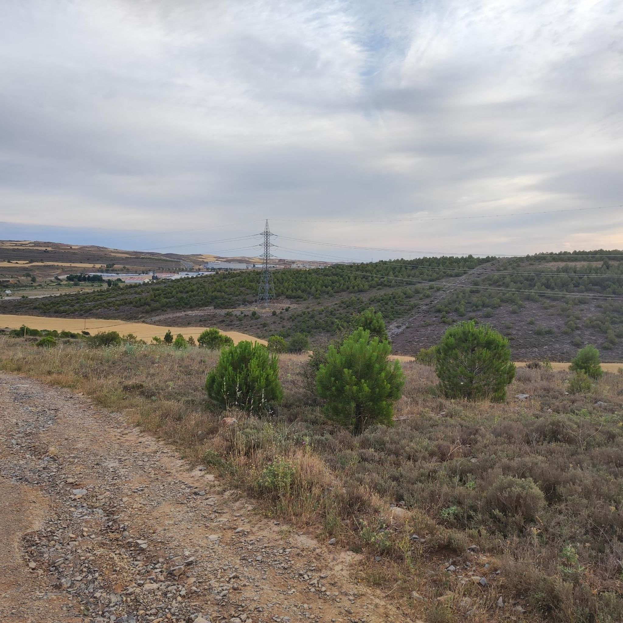
Jogging around Noviercas offers diverse landscapes, from relatively flat paths through cultivated fields to trails ascending into wooded pastures of rebollos and holm oaks. The area features riverine paths along the Araviana River and incorporates ancient pathways like the Cañada Real del Molino Blanco. These varied terrains provide different surfaces and inclines for runners.
Best jogging routes around Noviercas
- The most popular jogging route is Pico Moncayo – trail running desde Cuevas de Ágreda, a 7.4 miles (11.9 km)…
Last updated: June 29, 2026
30
runners
11.9km
02:15
980m
980m
Hard run. Very good fitness required. Sure-footedness, sturdy shoes and alpine experience required.
31
runners
26.7km
05:01
1,820m
1,820m
Hard run. Very good fitness required. Sure-footedness, sturdy shoes and alpine experience required.

Sign up for free
11
runners
4.57km
00:31
30m
30m
Easy run. Great for any fitness level. Mostly paved surfaces. Suitable for all skill levels.
5.0
(1)
9
runners
7.69km
00:50
130m
130m
Moderate run. Good fitness required. Mostly paved surfaces. Suitable for all skill levels.
5
runners
18.1km
03:10
1,170m
1,170m
Hard run. Very good fitness required. Sure-footedness, sturdy shoes and alpine experience required.
Get access to more routes and recommendations from other explorers.
Sign up for free
Already have an account?
Our route recommendations are based on thousands of hikes, rides, and runs completed by other people on komoot.
Start today with a free account
Your next adventure awaits.
Login or Signup
Tips from the Community

It is difficult to visit, but in the town there is a Cave Interpretation Center.
0
0


The summit of Moncayo, also known as Pico San Miguel, is the highest mountain in the Iberian system, with an altitude of 2315 metres. It is located between the provinces of Zaragoza (Aragon) and Soria (Castile and Leon) in Spain. To reach the summit, many hikers start from the Sanctuary of the Virgin of Moncayo, located at 1621 metres. From there, the route passes through the Cucharón cirque and the San Miguel basin before reaching the summit. The route offers spectacular views and is especially popular in spring and summer.
5
0
Beautiful town of Soria at the foot of Moncayo. Its name is due to its Cave that appears in the photo. Good bar and good torreznos.
1
0
Last part of the climb, the hardest.
1
0
Moncayo never disappoints. From Cueva de Agreda the climb is longer and harder, but it is worth the sacrifice. The views from the summit, towards Aragon and towards Castilla, are impressive.
1
0

Ólvega is a municipality in Soria in the community of Castilla y León. Its origin dates back to the beginning of the 5th century, although even older archaeological remains have been found from two nearby Celtiberian forts. It is popularly known as "Niña del Moncayo", for being at the foot of this mountain, and also as "Second Numancia", for the popular revolt of 1474 to avoid rendering vassalage to the Count of Medinaceli.
1
0

Impressive views that can be seen: the Pyrenees, the Ebro depression...
1
0
Frequently Asked Questions
What types of terrain can I expect on running routes around Noviercas?
Jogging routes in Noviercas offer a diverse range of terrains. You'll find relatively flat paths through cultivated fields, trails ascending into wooded pastures of rebollos, quejigos, and holm oaks, and expansive meadows. Some paths also lead along the Araviana River, providing varied surfaces and inclines for runners.
Are there any easy or moderate running routes suitable for beginners in Noviercas?
While many routes are challenging, there are options for moderate difficulty. For instance, the Ólvega loop from Ólvega is a moderate 4.8-mile (7.7 km) trail that takes about 49 minutes to complete, leading through the local countryside.
Can I find long-distance running trails in the Noviercas area?
Yes, Noviercas offers several longer and more challenging running trails. The Barranco del Colladico – Pico Lobera loop from Cueva de Ágreda is a difficult 16.4-mile (26.4 km) path traversing ravines and offering expansive views, ideal for experienced runners seeking a longer distance.
What historical or cultural landmarks can I see while jogging in Noviercas?
As you run through Noviercas, you can encounter several historical elements. These include a medieval watchtower (a 10th-century Cultural Asset of Interest), the Romanesque Church of Saints Justo and Pastor, and the house where the romantic poet Gustavo Adolfo Bécquer lived. Trails also lead towards the Hermitage of Nuestra Señora de los Remedios, about 7 km from the village.
Are there any running routes that offer scenic viewpoints or views of the Moncayo mountain range?
Absolutely. The region is part of the Moncayo area, offering majestic natural backdrops. Routes like Pico Moncayo – trail running desde Cuevas de Ágreda feature significant elevation gain towards the Moncayo region, providing impressive views. Additionally, the Sierra del Madero Viewpoint is a notable highlight in the vicinity.
What do other runners say about the jogging experience in Noviercas?
The running routes in Noviercas are highly rated by the komoot community, with an average score of 5.0 stars from 1 review. Nearly 100 runners have used komoot to explore the varied terrain, often praising the diverse landscapes and the tranquility of the natural surroundings.
Are there any circular running trails available in Noviercas?
Yes, several routes are designed as loops, allowing you to start and end in the same location. An example is the Barranco del Colladico – Pico Lobera loop from Cueva de Ágreda, which offers a challenging circular path.
What are some interesting places to explore near the running routes in Noviercas?
Beyond the trails, you can explore nearby settlements like Matalebreras, Borobia, and Ólvega. The Cueva de Ágreda is also a notable natural attraction in the area.
Are the running routes in Noviercas suitable for families or children?
The guide features routes ranging from moderate to difficult. While specific family-friendly routes are not highlighted, the varied terrain means some flatter sections through cultivated fields might be suitable for families with older children or those accustomed to outdoor activities. Always check the route's difficulty and length before heading out with children.
What is the best season for jogging in Noviercas?
Noviercas offers diverse landscapes that can be enjoyed across different seasons. The wooded pastures and riverine paths provide shade in warmer months, while the open fields can be pleasant in spring and autumn. For challenging trails with significant elevation, cooler temperatures might be preferable. Always check local weather conditions before your run.
Are there any cafes or pubs in Noviercas for after a run?
Noviercas is a village, and while specific cafes or pubs are not detailed in the route information, the village itself and nearby towns like Ólvega would likely offer local establishments where you can refresh after your run. It's advisable to check local listings for current options.
Most popular attractions around Noviercas

Get inspired with the komoot mobile app


Explore more
Browse the best Running Trails & Routes in other regions.
