The best running trails around Ólvega
5.0
(1)
166
runners
31
runs
Jogging around Ólvega offers a diverse landscape for runners, characterized by its proximity to the Moncayo mountain range. The region features significant elevation changes, with routes traversing hills and barrancos, providing challenging trail running opportunities. While some paths offer demanding ascents, other areas present more moderate terrain suitable for varied running experiences.
Best jogging routes around Ólvega
- The most popular jogging route is Ólvega loop from Ólvega, a 4.8 miles (7.7 km) trail that takes about 50 minutes to…
Last updated: July 4, 2026
30
runners
11.9km
02:15
980m
980m
Hard run. Very good fitness required. Sure-footedness, sturdy shoes and alpine experience required.
31
runners
26.7km
05:01
1,820m
1,820m
Hard run. Very good fitness required. Sure-footedness, sturdy shoes and alpine experience required.

Sign up for free
11
runners
4.57km
00:31
30m
30m
Easy run. Great for any fitness level. Mostly paved surfaces. Suitable for all skill levels.
5.0
(1)
9
runners
7.69km
00:50
130m
130m
Moderate run. Good fitness required. Mostly paved surfaces. Suitable for all skill levels.
6
runners
25.5km
04:20
1,630m
1,630m
Hard run. Very good fitness required. Sure-footedness, sturdy shoes and alpine experience required.
Get access to more routes and recommendations from other explorers.
Sign up for free
Already have an account?
Our route recommendations are based on thousands of hikes, rides, and runs completed by other people on komoot.
Start today with a free account
Your next adventure awaits.
Login or Signup
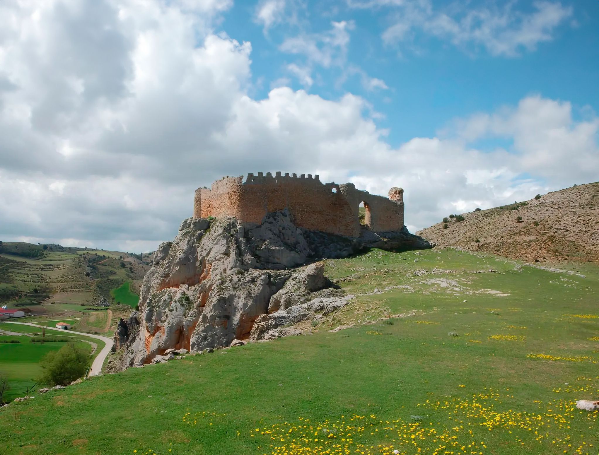
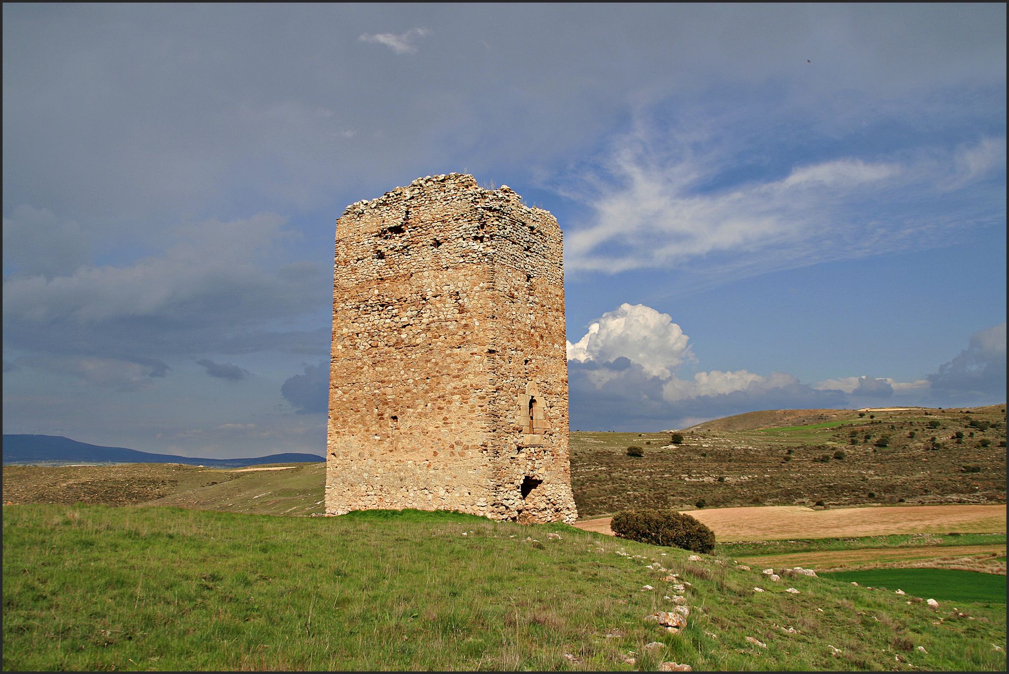
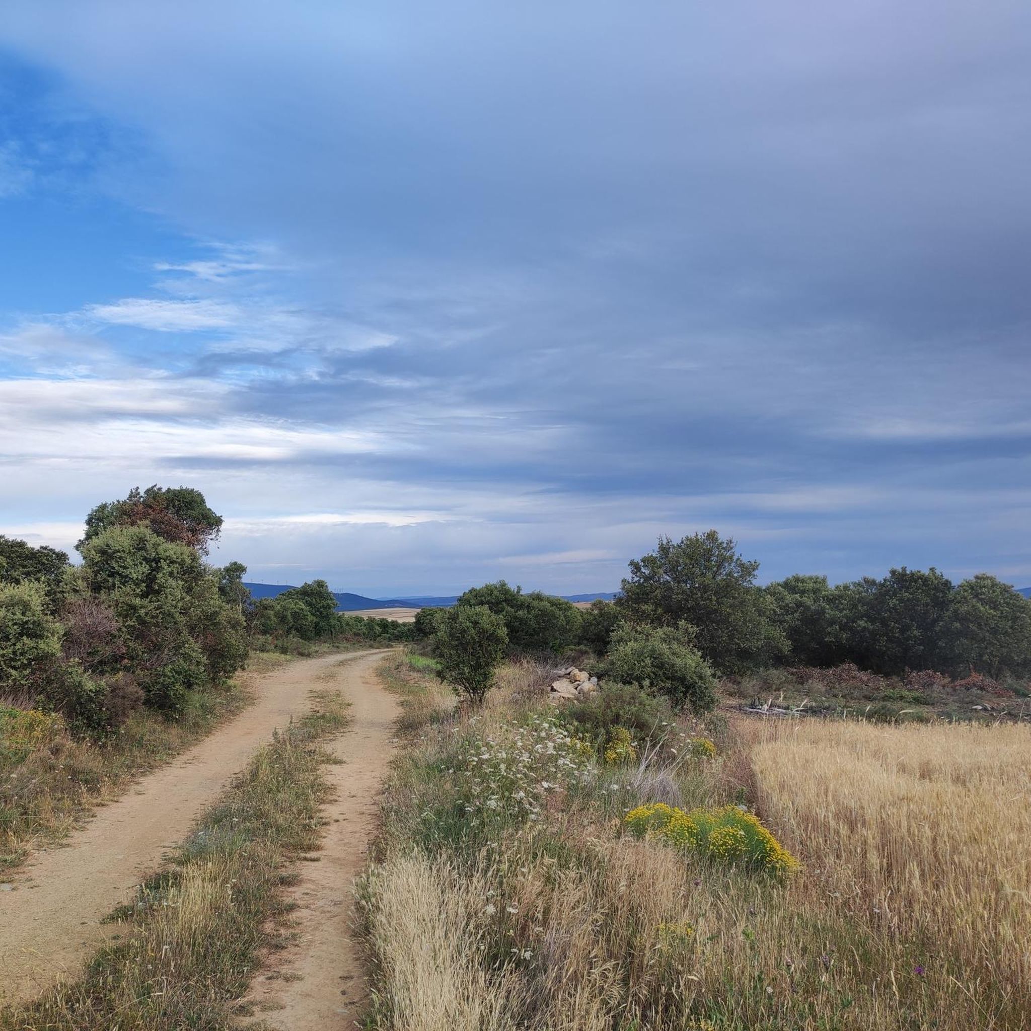
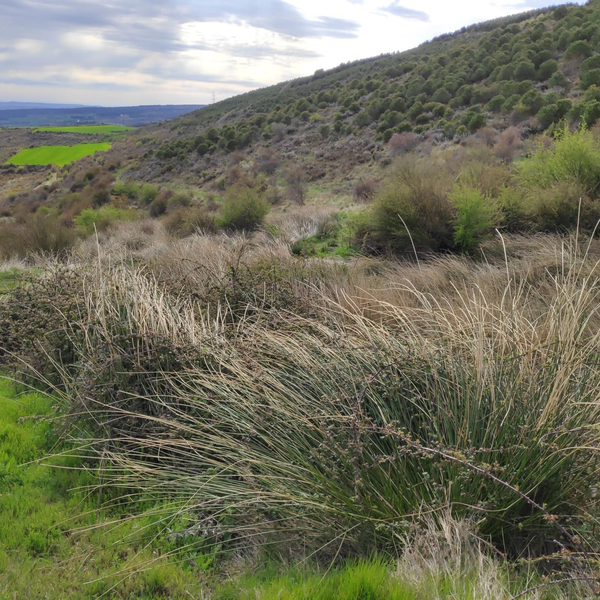


Tips from the Community

It is difficult to visit, but in the town there is a Cave Interpretation Center.
0
0


The summit of Moncayo, also known as Pico San Miguel, is the highest mountain in the Iberian system, with an altitude of 2315 metres. It is located between the provinces of Zaragoza (Aragon) and Soria (Castile and Leon) in Spain. To reach the summit, many hikers start from the Sanctuary of the Virgin of Moncayo, located at 1621 metres. From there, the route passes through the Cucharón cirque and the San Miguel basin before reaching the summit. The route offers spectacular views and is especially popular in spring and summer.
5
0
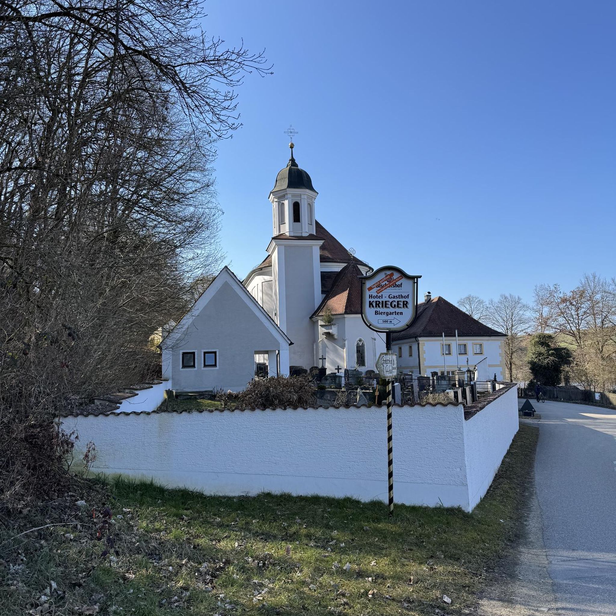
Beautiful town of Soria at the foot of Moncayo. Its name is due to its Cave that appears in the photo. Good bar and good torreznos.
1
0
Last part of the climb, the hardest.
1
0
Moncayo never disappoints. From Cueva de Agreda the climb is longer and harder, but it is worth the sacrifice. The views from the summit, towards Aragon and towards Castilla, are impressive.
1
0

Ólvega is a municipality in Soria in the community of Castilla y León. Its origin dates back to the beginning of the 5th century, although even older archaeological remains have been found from two nearby Celtiberian forts. It is popularly known as "Niña del Moncayo", for being at the foot of this mountain, and also as "Second Numancia", for the popular revolt of 1474 to avoid rendering vassalage to the Count of Medinaceli.
1
0

Impressive views that can be seen: the Pyrenees, the Ebro depression...
1
0
Frequently Asked Questions
How many running routes are available around Ólvega?
There are 14 running routes listed around Ólvega on komoot, offering a range of experiences from moderate to difficult.
Are there any easy or beginner-friendly jogging routes in Ólvega?
While Ólvega's terrain is generally characterized by significant elevation changes due to its proximity to the Moncayo mountain range, there are some moderate options. The Ólvega loop from Ólvega is a moderate 4.8-mile (7.7 km) trail that is accessible directly from town, making it a good choice for those seeking a less strenuous run.
Where can I find challenging trail running routes near Ólvega?
Ólvega is excellent for advanced trail running, with 9 difficult routes. For a significant challenge, consider the Pico Moncayo – trail running desde Cuevas de Ágreda, a difficult 7.4-mile (11.9 km) path with substantial elevation gain and mountain views. Another demanding option is the Barranco del Colladico loop from Cueva de Ágreda, which is 12.8 miles (20.6 km) long and leads through varied, often challenging terrain.
Are there any circular running routes in the Ólvega area?
Yes, many of the running routes around Ólvega are circular, allowing you to start and finish in the same location. A popular example is the Ólvega loop from Ólvega, which is a moderate 4.8-mile (7.7 km) trail. For a longer, more challenging circular run, the Barranco del Colladico loop from Cueva de Ágreda offers a 12.8-mile (20.6 km) difficult route.
What kind of scenery can I expect on the running trails around Ólvega?
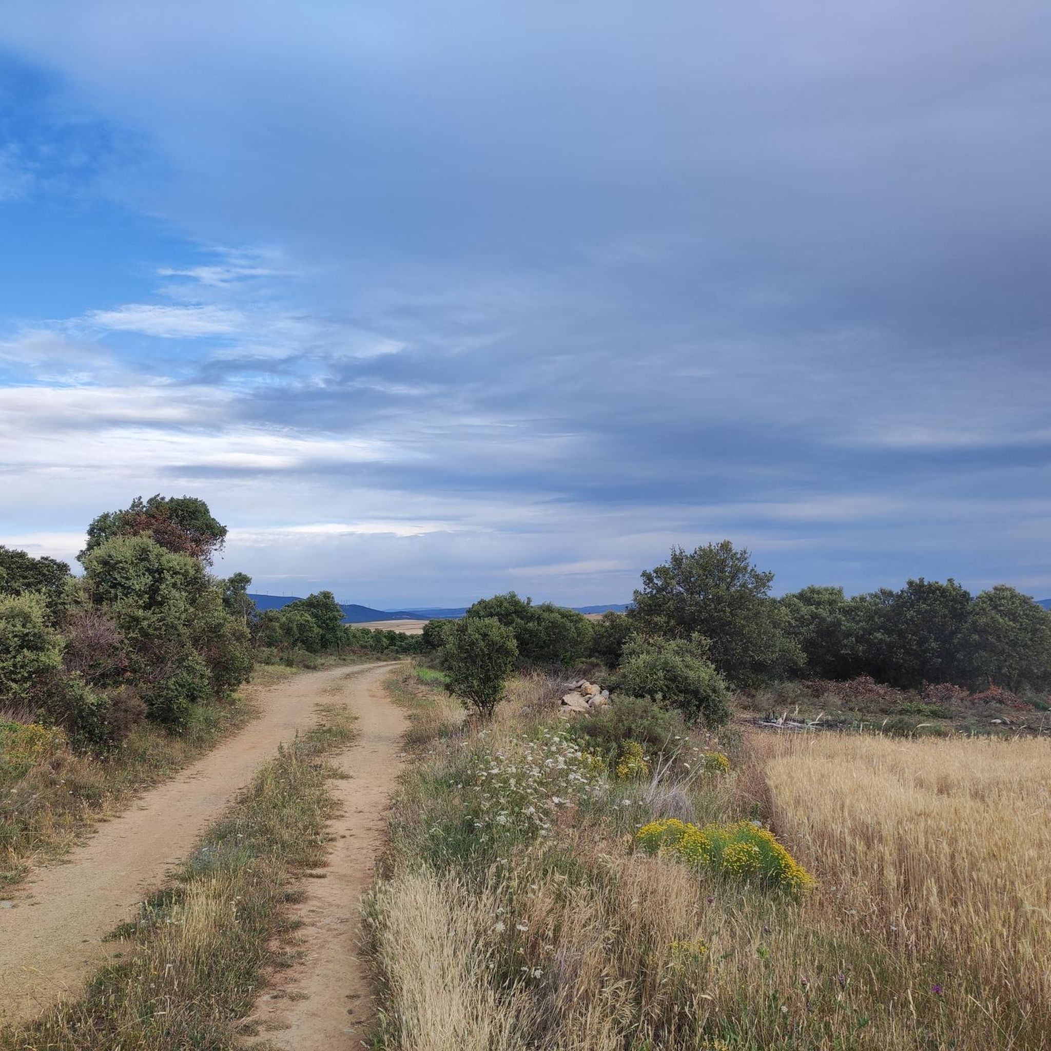
The running trails around Ólvega offer diverse scenery, primarily influenced by the Moncayo mountain range. You can expect routes traversing hills, barrancos (ravines), and areas with significant elevation changes, providing mountain views and natural landscapes. Some trails, like the Pico Moncayo – trail running desde Cuevas de Ágreda, offer panoramic vistas.
Are there any points of interest or landmarks to see while running near Ólvega?
Yes, the region around Ólvega features several interesting points. While running, you might encounter natural landmarks like the Moncayo Summit or the Cerro Morrón Summit. There are also man-made monuments such as the Snow Well of Prado de Santa Lucía, and religious buildings like the Church of San Miguel Arcángel of Ágreda. For those interested in geological features, the Cueva de los Pilares is also nearby.
What do other runners enjoy most about jogging in Ólvega?
The running routes in Ólvega are highly rated by the komoot community, with an average score of 5.0 stars. Runners often praise the challenging ascents and varied terrain, especially the opportunities for trail running with mountain views, making it ideal for those seeking a more adventurous experience.
Are there any family-friendly running trails suitable for children in Ólvega?
Given the region's characteristic significant elevation changes and numerous difficult routes, most trails around Ólvega are geared towards more experienced runners. However, the Ólvega loop from Ólvega is a moderate 4.8-mile (7.7 km) trail that could be suitable for families with older children who are accustomed to some inclines.
Can I bring my dog on the running routes in Ólvega?
While specific regulations for dogs on each trail can vary, generally, dogs are welcome on many natural trails in Spain, especially if kept on a leash. It's always recommended to check local signage at trailheads for any specific restrictions or protected areas. The varied terrain and natural environment of Ólvega's routes are generally suitable for active dogs.
What is the best time of year for running in Ólvega?
The best time for running in Ólvega largely depends on your preference for weather and trail conditions. Spring and autumn generally offer milder temperatures, which are ideal for tackling the region's challenging ascents. Summers can be hot, especially at lower elevations, while winters can bring colder temperatures and potentially snow at higher altitudes, particularly near Moncayo.
Are there any running routes with cafes or places to rest nearby?
While the routes themselves often traverse natural, less developed areas, many trails start or pass near towns like Ólvega or Cueva de Ágreda, where you can find cafes and amenities. For example, the Ólvega loop from Ólvega begins directly in town, offering easy access to facilities before or after your run.
What is the typical distance of running routes in Ólvega?
The running routes in Ólvega vary significantly in distance. You can find moderate trails like the Ólvega loop from Ólvega, which is 4.8 miles (7.7 km). For longer distances, there are challenging routes such as the Barranco del Colladico loop from Cueva de Ágreda, spanning 12.8 miles (20.6 km), and even longer options like the Barranco del Colladico – Pico Lobera loop from Cueva de Ágreda at 16.4 miles (26.4 km).
Most popular attractions around Ólvega

Get inspired with the komoot mobile app


Explore more
Browse the best Running Trails & Routes in other regions.
