The best walks and hikes around Matalebreras
4.6
(22)
126
hikers
12
hikes
Hiking around Matalebreras offers access to diverse natural environments within the province of Soria, Spain. The region is situated at the foot of the Sierra del Madero, a mountain range characterized by extensive oak and holm oak groves. This area provides panoramic views of surrounding mountain ranges and features rugged terrain, including the Valle del Río Alhama and the Barranco del Val. The landscape is defined by its natural richness, offering varied hiking terrain.
Best hiking trails around Matalebreras
- The…
Last updated: October 29, 2026
4.6
(9)
33
hikers
13.1km
03:37
220m
220m
Moderate hike. Good fitness required. Easily walkable paths.
4.8
(4)
23
hikers
Moderate hike. Good fitness required. Easily walkable paths.

4.6
(9)
46
hikers
13.7km
03:50
260m
260m
Moderate hike. Good fitness required. Easily walkable paths.
9
hikers
9.73km
02:43
190m
180m
Moderate hike. Good fitness required. Easily walkable paths.
3
hikers
9.58km
02:39
170m
170m
Moderate hike. Good fitness required. Easily walkable paths.
Get access to more routes and recommendations from other explorers.
Already have an account?
Our route recommendations are based on thousands of hikes, rides, and runs completed by other people on komoot.
Start today with a free account
Your next adventure awaits.
Tips from the Community

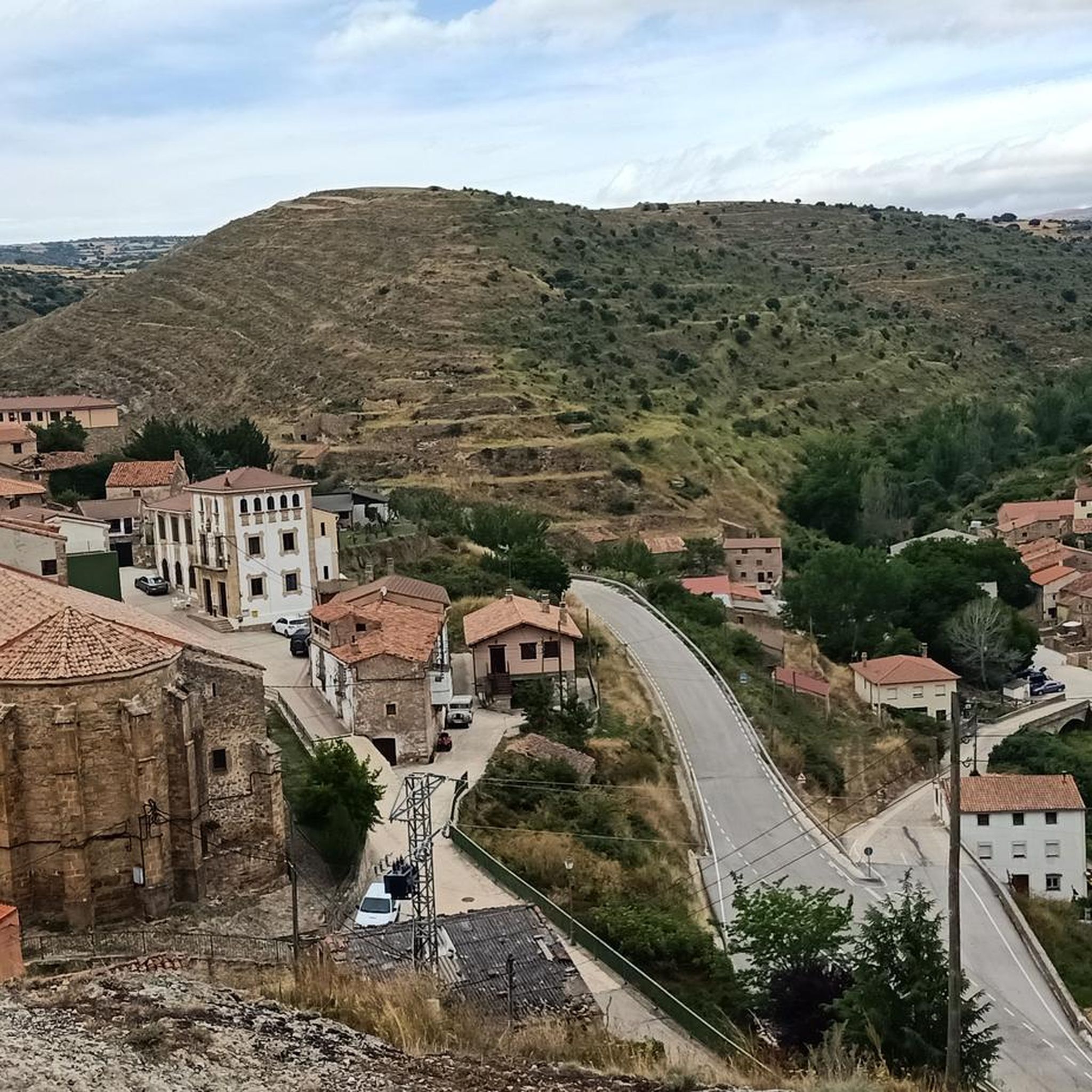
Ólvega is a municipality in Soria in the community of Castilla y León. Its origin dates back to the beginning of the 5th century, although even older archaeological remains have been found from two nearby Celtiberian forts. It is popularly known as "Niña del Moncayo", for being at the foot of this mountain, and also as "Second Numancia", for the popular revolt of 1474 to avoid rendering vassalage to the Count of Medinaceli.
1
0

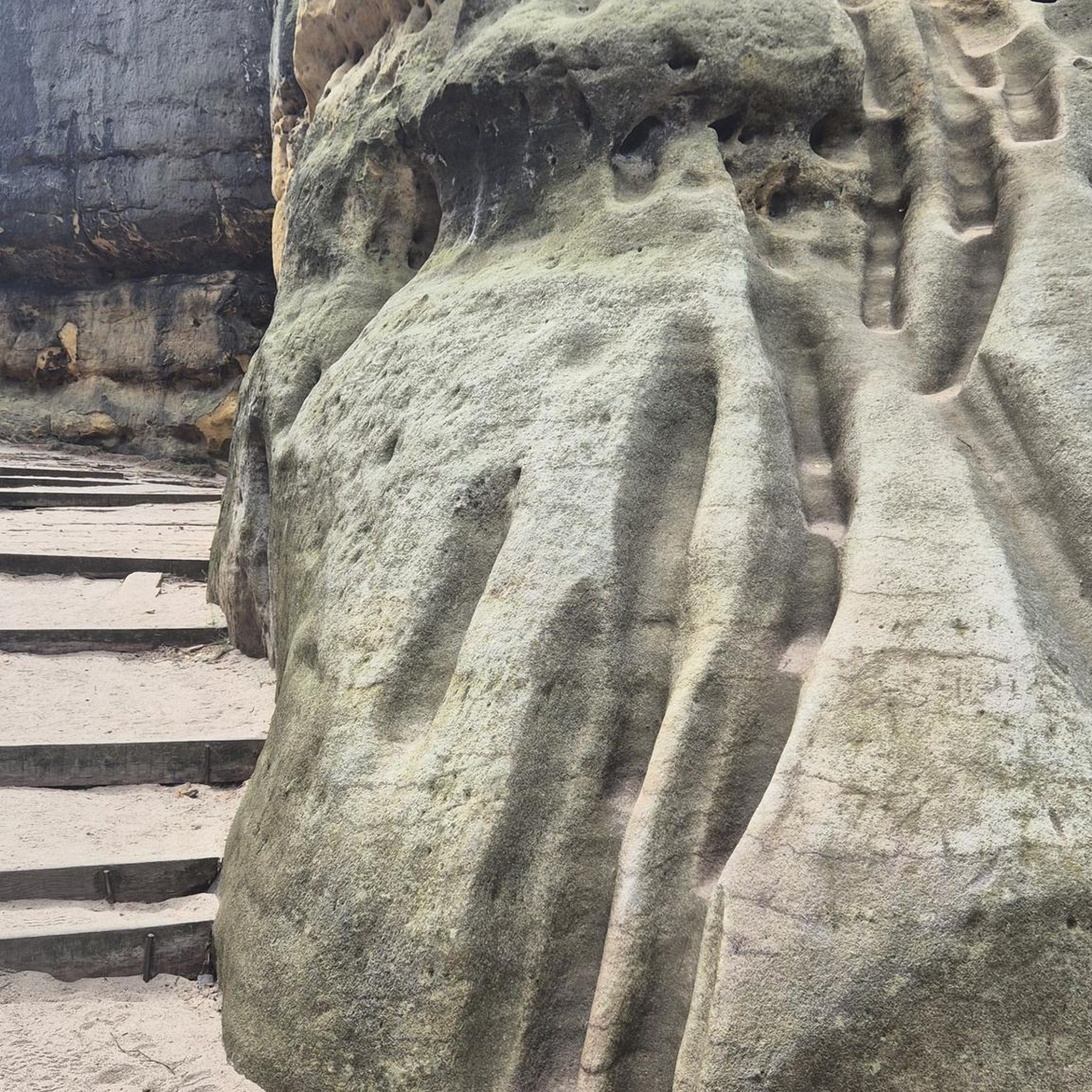
Running along the bottom of the Val ravine, we come across a sign that indicates the detour to the Peña del Tío Fresquito, which we will access by a small staircase and a subsequent climb. If we can do it, it is worth it for the good views it offers us of the Val valley.
1
0
Walking along the bottom of the Val ravine, we come across a sign that indicates the detour to the Peña del Tío Fresquito, which we will access by a small staircase and a subsequent climb. If we can do it, it is worth it for the good views it offers us of the Val valley.
1
0
Beautiful waterfall located in an environment of peace and nature in the Cañón del Río Val. The area is well signposted with indicator and informative signs.
3
0

There is a hotel and numerous shops and supermarkets where you can shop
0
0
Ólvega is a crossroads of roads and nearby converging regions: La Rioja, Aragón, Navarra and Castilla y León, to which it belongs. Located between the Sierra del Moncayo (2315 meters), the Sierra del Madero (1652 m) and the Sierra de Toranzo. The Gothic-style Parish Church of Santa María la Mayor stands out
0
0
Frequently Asked Questions
How many hiking trails are available around Matalebreras?
There are 6 hiking routes around Matalebreras, offering a range of experiences from easy strolls to moderate ascents through the region's diverse natural environments.
What kind of terrain can I expect on hikes in Matalebreras?
Hikes in Matalebreras primarily traverse the foothills of the Sierra del Madero, characterized by extensive oak and holm oak groves. You'll encounter rugged terrain, including the scenic Valle del Río Alhama and the Barranco del Val, offering varied landscapes and panoramic views of surrounding mountain ranges.
Are there any easy hiking trails suitable for beginners or a relaxed walk?
Yes, for an easier option, consider the Ólvega loop from Ólvega. This trail is 7.1 km long with a moderate elevation gain of 124 meters, making it a good choice for a relaxed outing.
What natural features or landmarks can I see along the hiking trails?
The region is rich in natural beauty. You can explore the dramatic landscapes of the Barranco del Val, discover the serene Cascada del Pozo de las Truchas, and enjoy views from the Peña del Tío Fresquito. The Sierra del Madero itself offers splendid panoramic vistas of the Moncayo, Urbión, and Cebollera mountain ranges.
Are there any circular hiking routes in Matalebreras?
Yes, several routes are circular. A popular option is the Peña del Tío Fresquito loop from Ágreda, which is 13.7 km long. Another circular trail is the Cascada del Pozo de las Truchas y Peña del Tío Fresquito – circular desde Ágreda, covering 12.7 km.
What do other hikers say about the trails in Matalebreras?
The trails in Matalebreras are highly regarded by the komoot community, with an average rating of 4.2 stars from over 20 reviews. Hikers often praise the diverse natural environments, the well-maintained paths, and the stunning views of the Sierra del Madero and surrounding ranges.
Are there any historical sites or cultural attractions near the hiking areas?
Yes, the region has historical significance. The Castle of la Nava del Marqués de Magaña is a notable nearby attraction. Additionally, the area is connected to the historical Ruta de Numantóbriga, an ancient Roman road, and features a Mozarabic watchtower ruin, offering a blend of history with your hike.
Is Matalebreras accessible by public transport for hikers?
While Matalebreras is primarily accessed by car, some regional bus services connect it to larger towns. However, for direct access to trailheads, a personal vehicle is generally recommended. Check local transport schedules for the most up-to-date information.
Where can I find parking when hiking in Matalebreras?
Parking is generally available in the villages and towns that serve as starting points for the trails, such as Ágreda or Ólvega. Many rural tracks also offer informal parking spots, but it's always advisable to park responsibly and ensure you're not obstructing local access.
What is the best time of year to go hiking in Matalebreras?
The best time for hiking in Matalebreras is typically during spring (April to June) and autumn (September to October). During these seasons, the weather is mild, and the natural landscapes are at their most vibrant, with blooming flora in spring and rich colors in autumn. Summer can be hot, and winter may bring colder temperatures and occasional snow at higher elevations.
Are there any trails that feature waterfalls?
Yes, the Cascada del Pozo de las Truchas y Peña del Tío Fresquito – circular desde Ágreda trail specifically leads past the beautiful Cascada del Pozo de las Truchas, offering a refreshing natural highlight.
Are the hiking trails in Matalebreras suitable for families with children?
Many of the trails in Matalebreras are suitable for families, especially the easier and moderate routes. The region's diverse landscapes, including the 'Bosque Encantado' (Enchanted Forest) mentioned in local lore, can provide an engaging experience for children. Always check the specific trail's length and elevation gain to ensure it matches your family's capabilities.
Most popular attractions around Matalebreras

Get inspired with the komoot mobile app


Explore more
Browse the best Hikes in other regions.
