The best walks and hikes around Montaverner
4.5
(150)
1,188
hikers
83
hikes
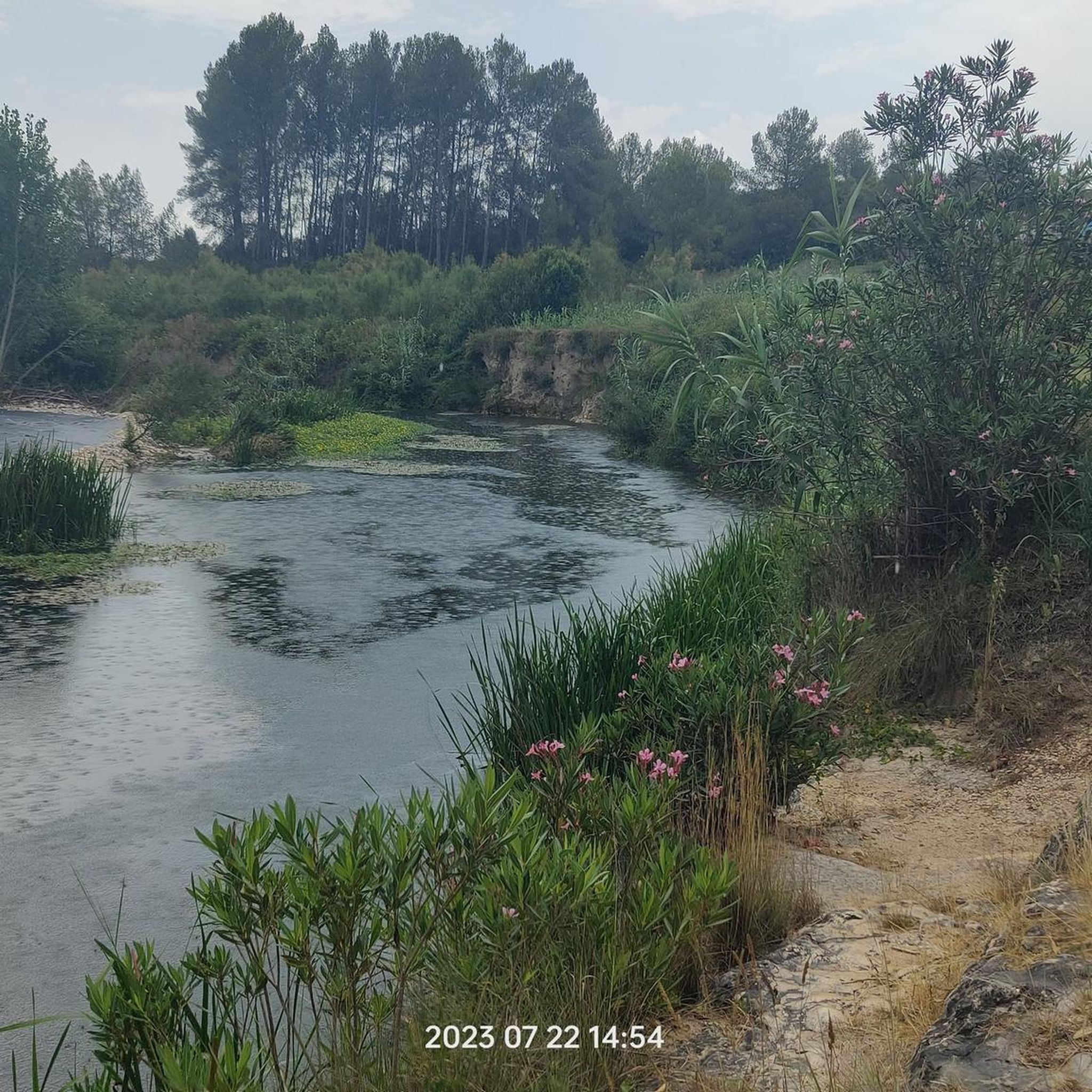
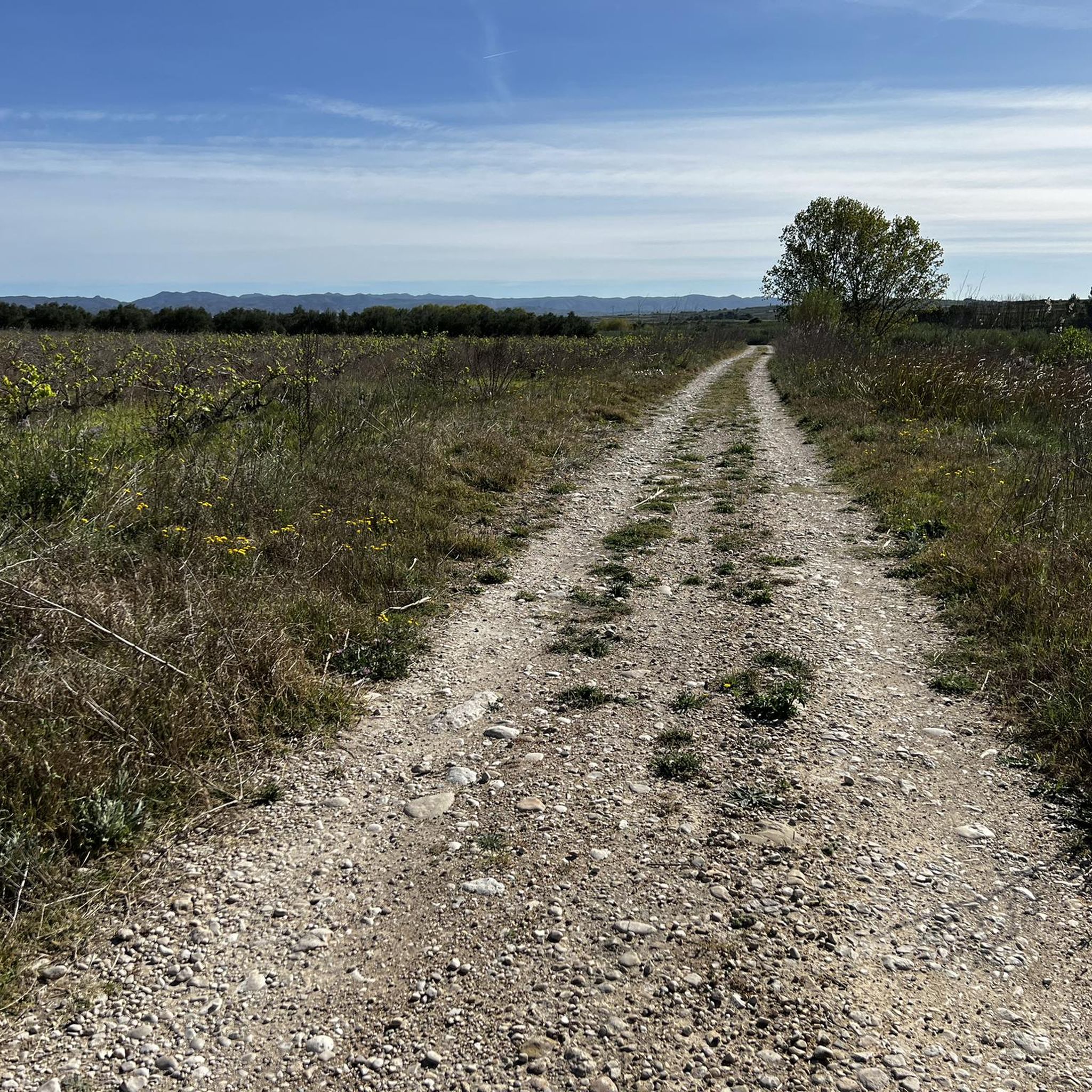
Hiking around Montaverner offers diverse landscapes, characterized by a vigorous Sierra that forms a natural border, providing mountainous terrain. The region features a mix of orchards, dry land, and fluvial paths along the Albaida and Clariano rivers. Hikers can explore beautiful pine forests and spectacular ravines, with elevations ranging from river valleys to higher mountain slopes.
Best hiking trails in Montaverner
- The most popular hiking route is View of Castell de Cocentaina – View of Carrícola Castle loop from Carrícola…
Last updated: July 8, 2026
4.8
(5)
10
hikers
Easy hike. Great for any fitness level. Easily-accessible paths. Suitable for all skill levels.
12
hikers
7.66km
02:11
170m
170m
Moderate hike. Good fitness required. Easily-accessible paths. Suitable for all skill levels.

Sign up for free
4.0
(2)
12
hikers
11.0km
03:03
190m
190m
Moderate hike. Good fitness required. Easily-accessible paths. Suitable for all skill levels.
5.0
(1)
6
hikers
13.2km
04:06
420m
420m
Moderate hike. Good fitness required. Mostly accessible paths. Sure-footedness required.
5.0
(2)
11
hikers
Moderate hike. Good fitness required. Easily-accessible paths. Suitable for all skill levels.
Get access to more routes and recommendations from other explorers.
Sign up for free
Already have an account?
Our route recommendations are based on thousands of hikes, rides, and runs completed by other people on komoot.
Start today with a free account
Your next adventure awaits.
Login or Signup

Tips from the Community

Sculptures of three snails and a toad surprise in this fountain in Carrícola Square.
1
0

The route begins in the charming village of Carrícola, in the Vall d'Albaida region of Valencia. From there, a circular route begins that gently ascends along rural roads and well-marked trails, surrounded by Mediterranean vegetation and cultivated fields. The most special feature of this route is the Biodivers project, an artistic and ecological initiative that has transformed the surrounding area into an open-air museum. Along the way, visitors encounter contemporary sculptures integrated into the landscape: a giant iron spider, spiral books, human faces in fountains, geometric structures, and other works that invite reflection on the relationship between humans and nature.
3
0
The Castell de Carrícola, also known as Castellet, is a historic and natural gem located in the municipality of El Palomar, in the Vall d'Albaida region of Valencia. It is an ancient Islamic fortification built between the 10th and 12th centuries, although the current tower was erected after the Christian conquest, around the mid-13th century. It has been declared a Site of Cultural Interest and has been restored to allow visitors to visit it, including access to its terrace, from where you can enjoy spectacular views of the region and the Bellús reservoir.
3
0
The Castell de Carrícola, also known as Castellet, is a historic and natural gem located in the municipality of El Palomar, in the Vall d'Albaida region of Valencia. It is an ancient Islamic fortification built between the 10th and 12th centuries, although the current tower was erected after the Christian conquest, around the mid-13th century. It has been declared a Site of Cultural Interest and has been restored to allow visitors to visit it, including access to its terrace, from where you can enjoy spectacular views of the region and the Bellús reservoir.
3
0
An artistic tour featuring works by more than 70 Valencian artists, integrated into the natural environment.
5
0
This small municipality in the Valencian Community is known for its ecological and sustainable approach, and is famous for its organic farming, especially of oranges.
6
0

Beautiful view of the castle and Carricola
0
1
The castle, which is not particularly worth seeing, dates back to the Almohad period and was built between the 10th and 12th centuries. But the view is very beautiful.
0
1
Frequently Asked Questions
How many hiking trails are available around Montaverner?
Montaverner offers a wide selection of hiking trails, with over 80 routes recorded on komoot. These range from easy strolls to more challenging paths, ensuring options for various fitness levels.
Are there any easy, family-friendly hiking options in Montaverner?
Yes, Montaverner has nearly 20 easy trails suitable for families. The region's Ruta de les Fonts y el Sender del Riu (Route of the Fountains and River Path) is particularly well-suited for families, offering diverse scenery along the Albaida and Clariano rivers, with visits to fountains and old bridges. An example of an easy route is the View of Castell de Cocentaina – View of Carrícola Castle loop from Carrícola.
What kind of terrain can I expect on hikes around Montaverner?
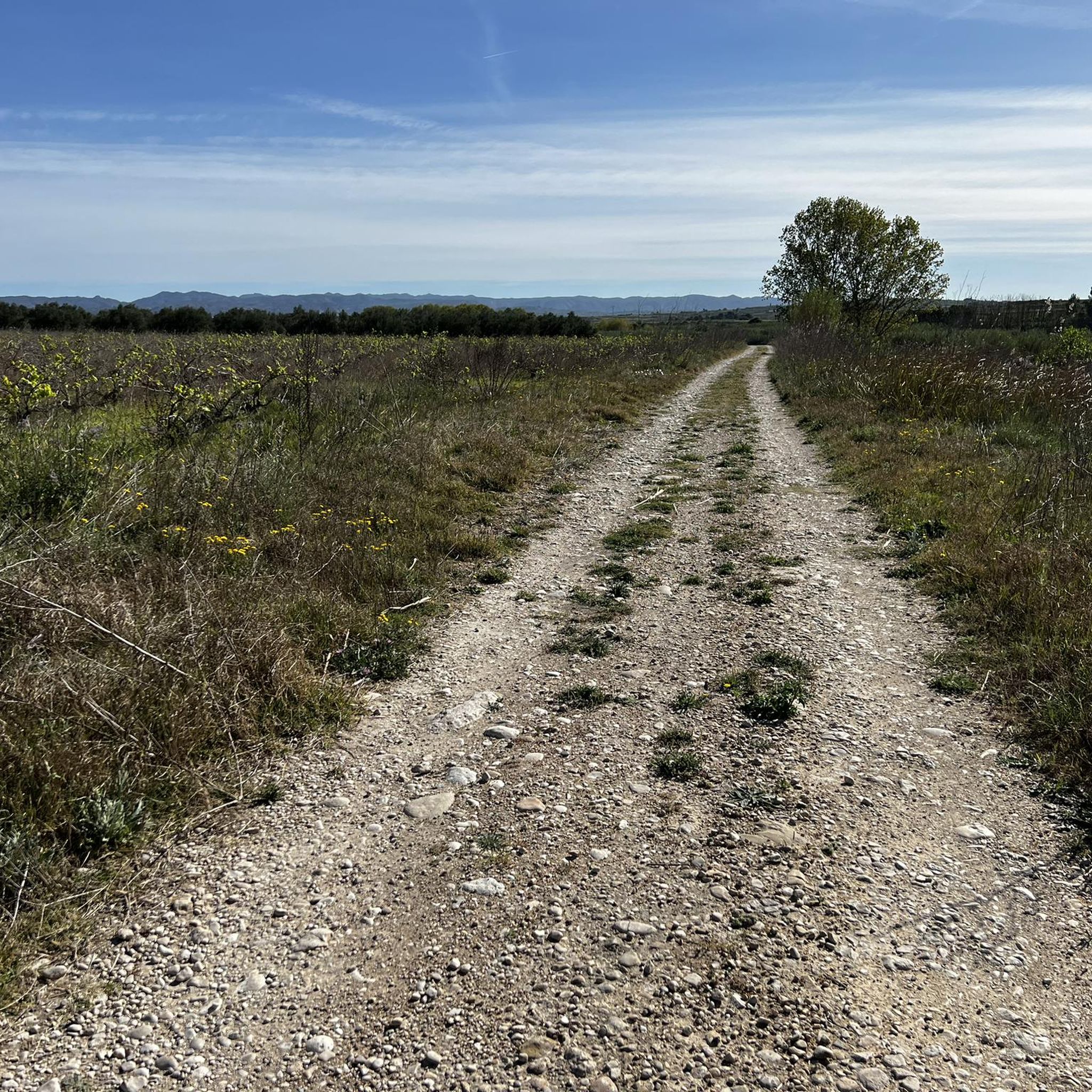
Hiking around Montaverner features diverse landscapes. You'll find a mix of orchards, dry land, and fluvial paths along the Albaida and Clariano rivers. The region is also characterized by a vigorous Sierra, offering mountainous terrain, beautiful pine forests, and spectacular ravines like Barranc de la Creu and Barranc del Paller.
Are there any circular hiking routes in Montaverner?
Many of the trails around Montaverner are designed as loops, offering convenient circular routes. For instance, the La Font Jordana Restaurant loop from Albaida is a moderate circular path, and the Mirador Font Freda loop from Atzeneta d'Albaida provides a longer, moderate option through mountainous relief.
What natural landmarks or points of interest can I see while hiking?
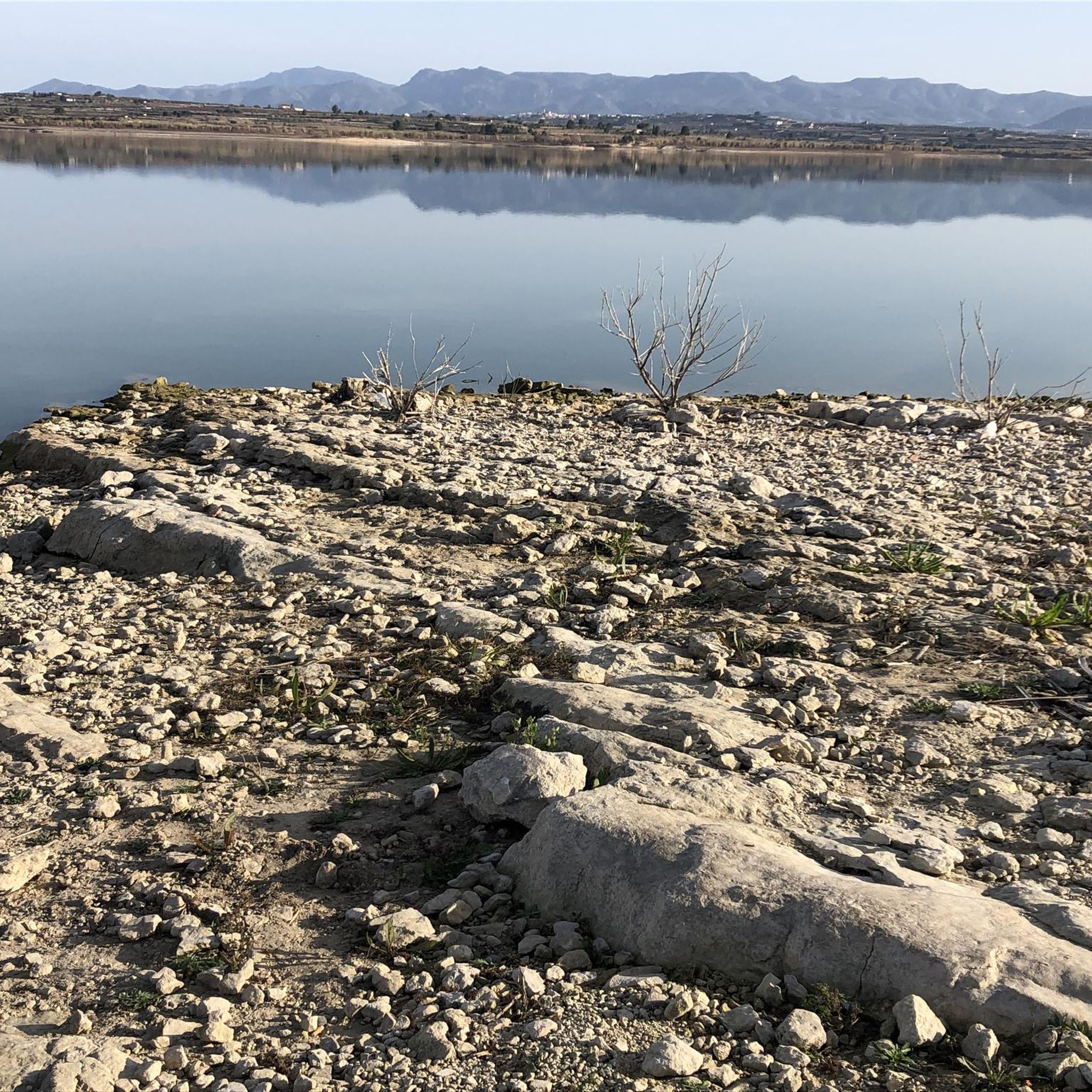
Montaverner's hiking trails lead to several intriguing natural landmarks. You can explore the significant Middle Paleolithic site of Cova Negra, located in a narrow valley. Another unique sight is the Cova de les Finestres, artificial caves carved into a steep cliff resembling windows. The Bellús Reservoir and spillway also offers a scenic stop.
Are there historical sites or castles visible from the hiking trails?
Yes, the region is rich in historical sites. Many routes offer views of ancient fortifications, such as the View of Carrícola Castle and the View of Castell de Cocentaina. You can also find highlights like La Solana del Castell, a historical site near the trails.
What do other hikers say about the trails in Montaverner?
The hiking trails in Montaverner are highly regarded by the komoot community, with an average rating of 4.6 out of 5 stars from over 150 reviews. Hikers often praise the diverse landscapes, well-marked paths, and the variety of options for different skill levels, from river paths to mountainous terrain.
Is Montaverner a good destination for experienced hikers seeking a challenge?
While Montaverner offers many easy and moderate trails, there are also 10 difficult routes for experienced hikers. These trails often lead through the vigorous Sierra, providing more significant elevation changes and rugged terrain, such as those found in the pine forests and spectacular ravines.
What is the best time of year to go hiking in Montaverner?
Montaverner offers pleasant hiking conditions for much of the year. Spring and autumn generally provide the most comfortable temperatures for exploring the diverse landscapes, including the river paths and mountainous relief. Summers can be hot, so early morning or late afternoon hikes are recommended during those months.
Are there any trails that feature water elements like rivers or fountains?
Absolutely. The Ruta de les Fonts y el Sender del Riu (Route of the Fountains and River Path) is specifically designed to highlight these features. It follows the Albaida and Clariano rivers, allowing hikers to visit various fountains and enjoy the riverbeds. Many other trails also incorporate fluvial paths and natural springs.
Are there any viewpoints along the hiking trails in Montaverner?
Yes, several trails lead to scenic viewpoints. The Mirador Font Freda loop from Atzeneta d'Albaida, for example, is named after a viewpoint. You can also find specific highlights like Font Freda (viewpoint), offering panoramic views of the surrounding landscapes and mountainous relief.
Can I find trails that go through pine forests in Montaverner?
Yes, the Sierra bordering the Montaverner region is characterized by beautiful pine forests. Many trails, particularly those in the more mountainous areas, will take you through these picturesque woodlands, offering shade and a different kind of natural beauty compared to the river valleys and orchards.
Most popular routes around Montaverner
Most popular attractions around Montaverner

Get inspired with the komoot mobile app


Explore more
Browse the best Hikes in other regions.
