The best walks and hikes around Garciaz
4.5
(7)
46
hikers
7
hikes
Hiking around Garciaz, a municipality in Cáceres, Extremadura, Spain, offers diverse natural landscapes. The region features a blend of mountainous terrain and fertile valleys, with the Garciaz River acting as a central natural funnel. Hikers can explore areas with dense forest cover, including oaks, cork oaks, holm oaks, and chestnut trees, alongside historical pilgrimage routes like the "Path of the Discoverers" and "Ways of Guadalupe." The elevation of the village at 773 meters contributes to varied hiking terrain.
Best hiking…
Last updated: July 11, 2026
3.5
(2)
11
hikers
5.11km
01:24
90m
80m
Enjoy an easy 3.2-mile (5.1 km) circular hike from Berzocana, offering gentle elevation and views within the Geoparque Villuercas-Ibores-Jar
5.0
(2)
8
hikers
15.9km
04:50
510m
520m
Moderate hike. Good fitness required. Easily-accessible paths. Suitable for all skill levels.

Sign up for free
5.0
(1)
7
hikers
9.12km
02:42
250m
250m
Moderate hike. Good fitness required. Mostly accessible paths. Sure-footedness required.
3
hikers
6.31km
01:48
150m
150m
Easy hike. Great for any fitness level. Easily-accessible paths. Suitable for all skill levels.
5.0
(1)
3
hikers
13.9km
04:03
390m
390m
Moderate hike. Good fitness required. Easily-accessible paths. Suitable for all skill levels.
Get access to more routes and recommendations from other explorers.
Sign up for free
Already have an account?
Our route recommendations are based on thousands of hikes, rides, and runs completed by other people on komoot.
Start today with a free account
Your next adventure awaits.
Login or Signup
Popular around Garciaz
Tips from the Community

If you decide to explore this route, you will be surrounded by nature, history and breathtaking views. Enjoy your hike! 🏞️🚶♂️🥾🚵🌞
7
0

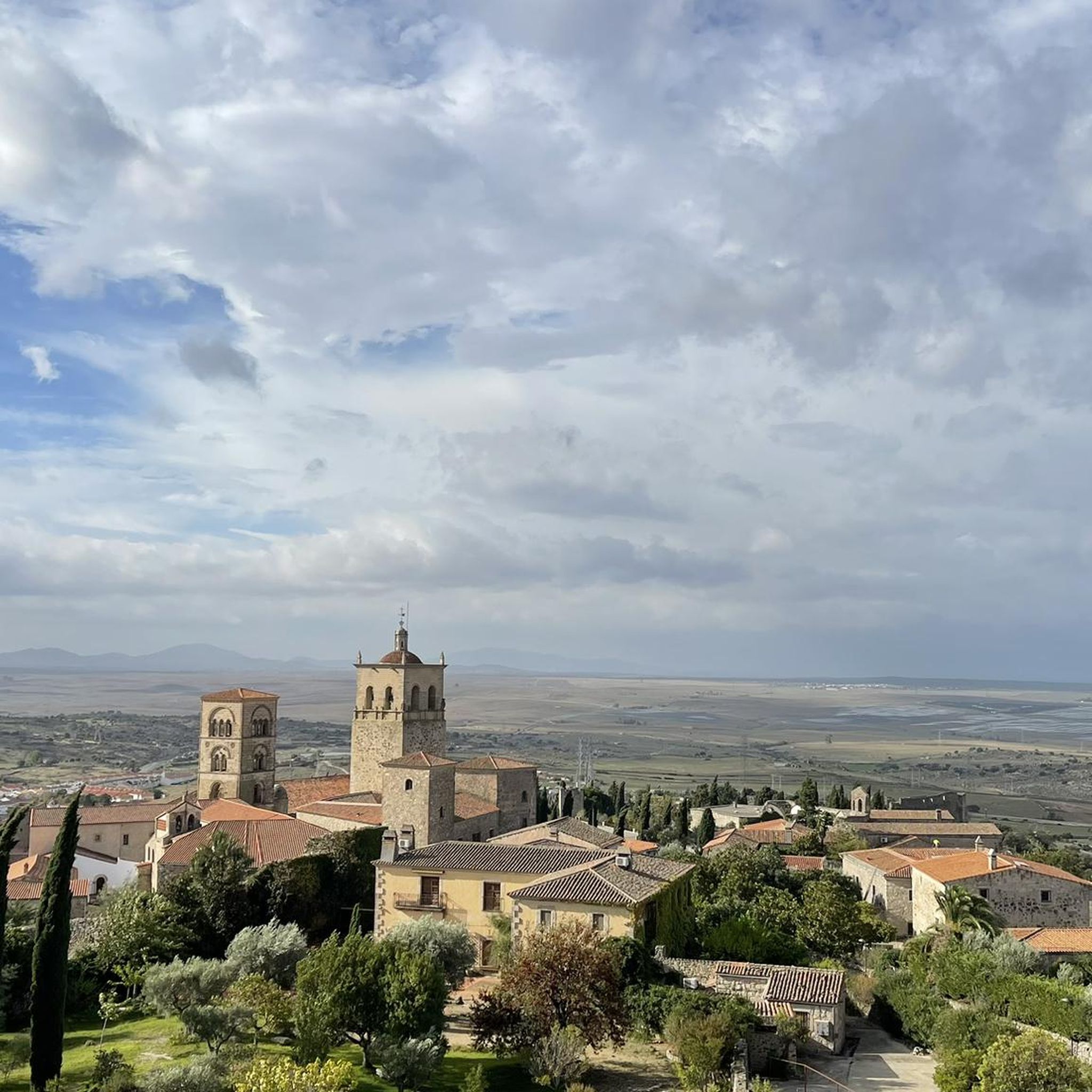
Located at the foot of the Sierra de las Villuercas, is the small town of Aldeacentenera. Gateway to the UNESCO Sierra de las Villuercas Biosphere Reserve.
1
0
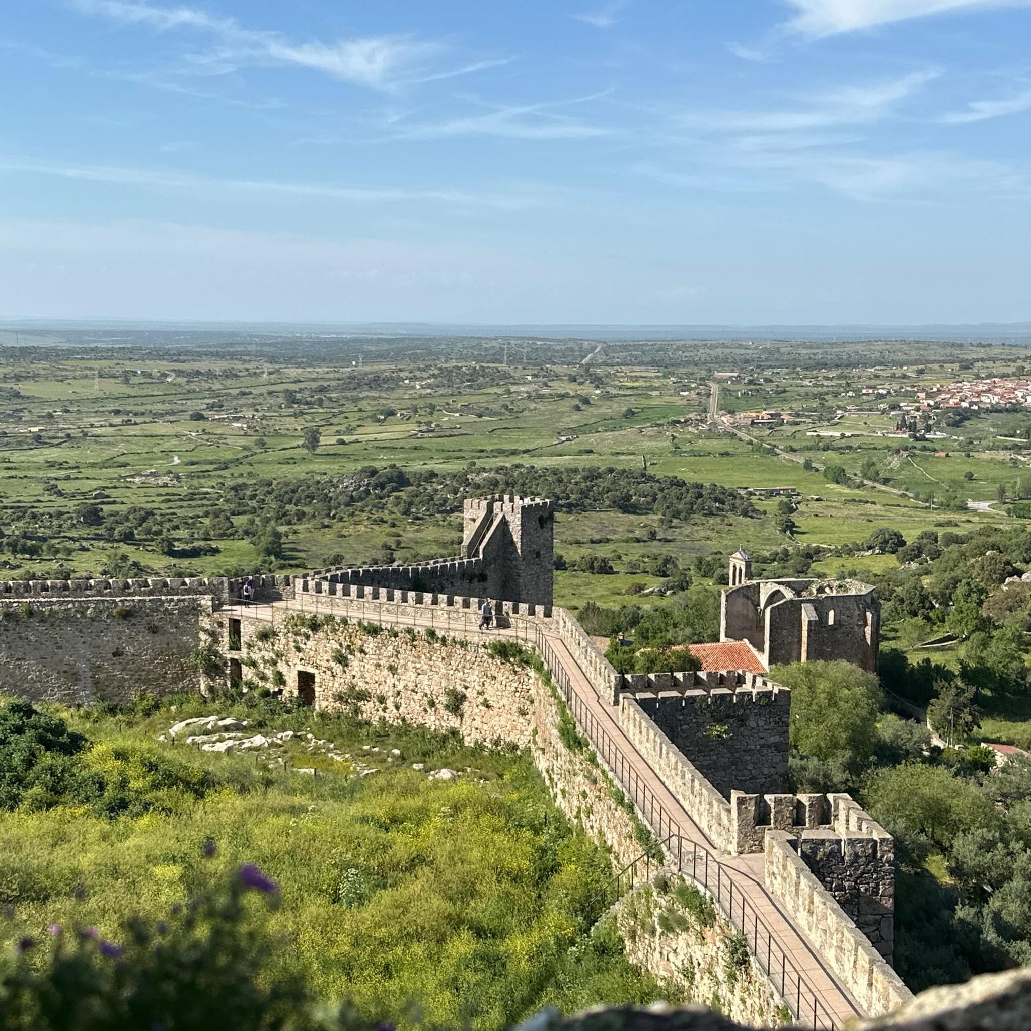
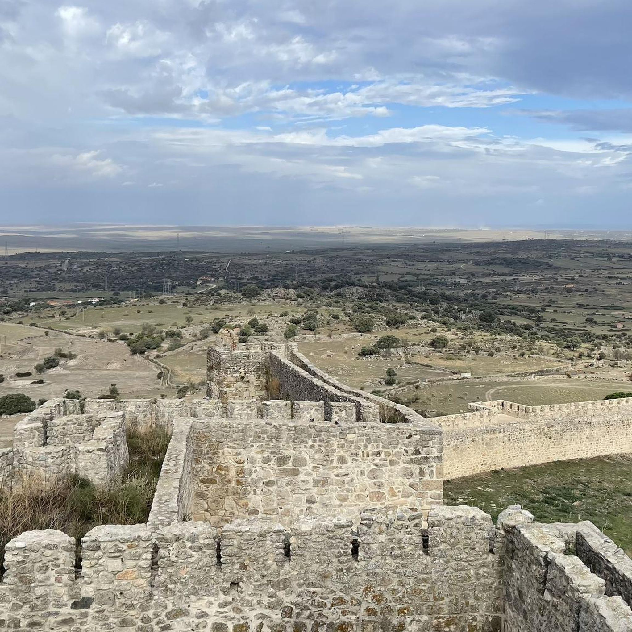
An incredible fortress rose from the rocky cliffs. Muslim fortress from the 12th century, built to monitor and control the trade route between the Sierra de Ortijuela and the Berzocana river valley. The views are spectacular.
1
0
Aldecentenera is a small agricultural town in the region of Aguas de Madroñera. The town is of medieval origin. Stop to rest and have a coffee in the Plaza España in the center of the town.
1
0
Cabañas del Castillo is a spectacular place located within the Villuercas-Ibores-Jara Geopark, dominated by high rock formations and gorges. The Cabañas castle is of Muslim origin but was later occupied by the Knights of Trujillo and Calatrava. A short ride off the bike, but highly recommended for seeing incredible views between the Sierra de la Ortijuela and Sierra del Alcornocal and the gorge below curved by the Almonte River.
1
0

From this road you can see the forests that surround the town.
1
0
Frequently Asked Questions
What kind of natural landscapes can I expect to see while hiking around Garciaz?
The region around Garciaz offers a diverse blend of mountainous terrain and fertile valleys, with the Garciaz River acting as a central natural funnel. You'll find dense forest cover, including oaks, cork oaks, holm oaks, and chestnut trees, creating a rich and varied environment reminiscent of more northern Spanish latitudes.
Are there many hiking trails available in Garciaz?
Yes, there are over 7 hiking trails around Garciaz, catering to various preferences. You'll find a good mix, including 1 easy route, 5 moderate routes, and 1 more challenging option.
Are there any circular hiking routes in Garciaz?
Absolutely. Garciaz offers several circular routes. For example, the Embalse de Moruelos loop from Garciaz is a moderate 13.9 km path exploring the reservoir area. Another option is the Castillo de Cabañas loop from Cabañas del Castillo, which is 15.9 km and leads through varied terrain.
What are some historical or cultural points of interest I might encounter on the trails?
Garciaz is situated on historical pilgrimage routes like the "Path of the Discoverers" and the "Ways of Guadalupe." You can experience a part of this history on routes such as the Berzocana - Path of the Discoverers Loop. The area also features numerous old bridges and cultural elements within the village itself, like the jurisdictional roll in the Plaza de España and the Church of Santiago Apóstol.
What are the best times of year to go hiking in Garciaz?
The region's abundant nature and diverse forests make it appealing across seasons. Spring and autumn generally offer the most pleasant temperatures for hiking. However, with its varied ecosystems, Garciaz can be enjoyed throughout the year, depending on the specific trail and your tolerance for warmer summer or cooler winter conditions.
Are there any viewpoints or panoramic spots on the hiking trails?
Yes, some trails offer excellent panoramic views. The PR-CC 228 "Entre Robles y Castaños" route, for instance, provides superb vistas from the geodetic vertex (Pico Venero), allowing you to see surrounding towns and reservoirs. You can also find scenic views on routes like the View of Berzocana – Villuercas-Ibores-Jara Geopark loop from Berzocana.
What do other hikers say about the trails in Garciaz?
The hiking trails in Garciaz are highly regarded by the komoot community, with an average rating of 4.4 out of 5 stars from over 6 reviews. Hikers often praise the varied terrain and the opportunity to explore the region's natural beauty.
Are there any longer or more challenging hikes for experienced trekkers?
For those seeking a longer challenge, the Camino Garciaz-Berzocana, part of the "Caminos de Guadalupe," is a significant 29 km stretch that typically takes around 8 hours and 10 minutes to complete. The PR-CC 228 "Entre Robles y Castaños" is also a substantial 18.5 km circular route, requiring about 5 hours.
What are some nearby attractions or landmarks to explore in the Garciaz area?
Beyond the trails, you can explore several interesting sites. Consider visiting Zorita, the historic Cabañas del Castillo Castle, or the picturesque Bridge Over the Almonte River. For those interested in religious architecture, the San Mateo Church of Logrosán is also nearby.
Is Garciaz close to any major natural parks or reserves?
Yes, Garciaz is located in the same province as Monfragüe National Park, a UNESCO Biosphere Reserve. This renowned park is famous for its Mediterranean forest and excellent birdwatching opportunities, offering additional diverse hiking trails amidst dramatic cliffs and rivers. While not directly in Garciaz, its proximity makes it an accessible and significant natural attraction for visitors to the area.
What types of forests and trees can I expect to see on the trails?
The region boasts abundant and overflowing nature with dense forest cover. You'll traverse areas rich with a variety of trees, including oaks, cork oaks, holm oaks, and chestnut trees, each adapted to its specific ecosystem. The PR-CC 228 "Entre Robles y Castaños" trail, for example, showcases beautiful forests of chestnut and melojo oak.
Most popular attractions around Garciaz

Get inspired with the komoot mobile app


Explore more
Browse the best Hikes in other regions.
