The best MTB trails around Payo De Ojeda
5.0
(13)
28
riders
3
rides
Mountain bike trails around Payo De Ojeda navigate a landscape characterized by varied terrain, including natural trails, historical routes, and areas featuring reservoirs and lagoons. The region offers a mix of moderate and challenging paths, with elevations that provide engaging climbs and descents. Mountain bikers can expect to encounter a blend of open spaces and possibly forested sections, reflecting the natural and cultural heritage of the area.
Best mountain bike trails around Payo De Ojeda
- The most popular mountain bike…
Last updated: July 1, 2026
3
riders
49.1km
04:24
780m
780m
This moderate 30.5-mile mountain biking route through Parque Natural Montaña Palentina offers varied terrain and wild landscapes.
5.0
(4)
8
riders
37.3km
02:47
340m
340m
Moderate mountain bike ride. Good fitness required. Suitable for all skill levels.

Sign up for free
5.0
(3)
4
riders
51.3km
04:22
750m
750m
Moderate mountain bike ride. Good fitness required. Advanced riding skills necessary.
5.0
(1)
3
riders
81.7km
04:49
570m
570m
Moderate mountain bike ride. Good fitness required. Advanced riding skills necessary.
2
riders
41.3km
03:21
290m
290m
Moderate mountain bike ride. Good fitness required. Advanced riding skills necessary.
Our route recommendations are based on thousands of hikes, rides, and runs completed by other people on komoot.
Start today with a free account
Your next adventure awaits.
Login or Signup
Popular around Payo De Ojeda
Tips from the Community


In the Plaza de España, the nerve centre of the town.
1
0

The next town is Vallespinoso de Aguilar. The hermitage of Santa Cecilia, immediately standing out on a castle hill, is dated to the 12th century and was declared a historical-artistic monument in 1951. The portico has well-carved capitals and the location conveys the atmosphere of a fortress sanctuary.
0
0

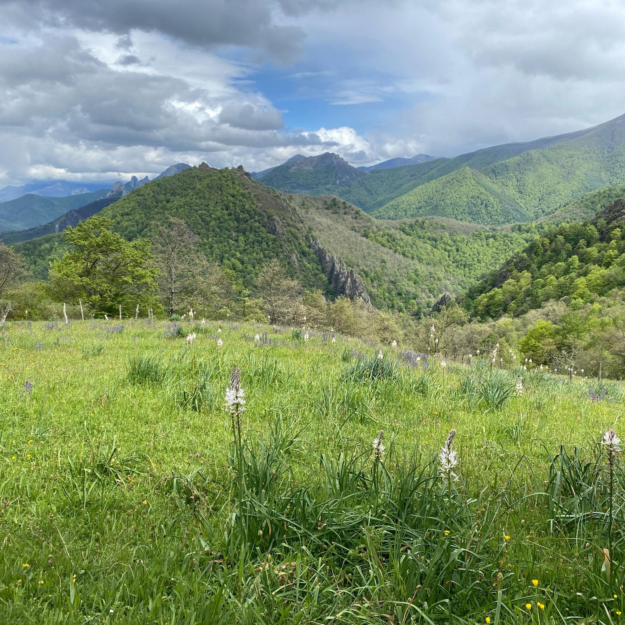
Perapertú, located in the Mudá Valley, in the Palencia Mountain, offers a spectacular environment to enjoy nature and the mountains. Its town center has ashlar constructions and a church dedicated to San Quirico and Santa Juliana.
1
0
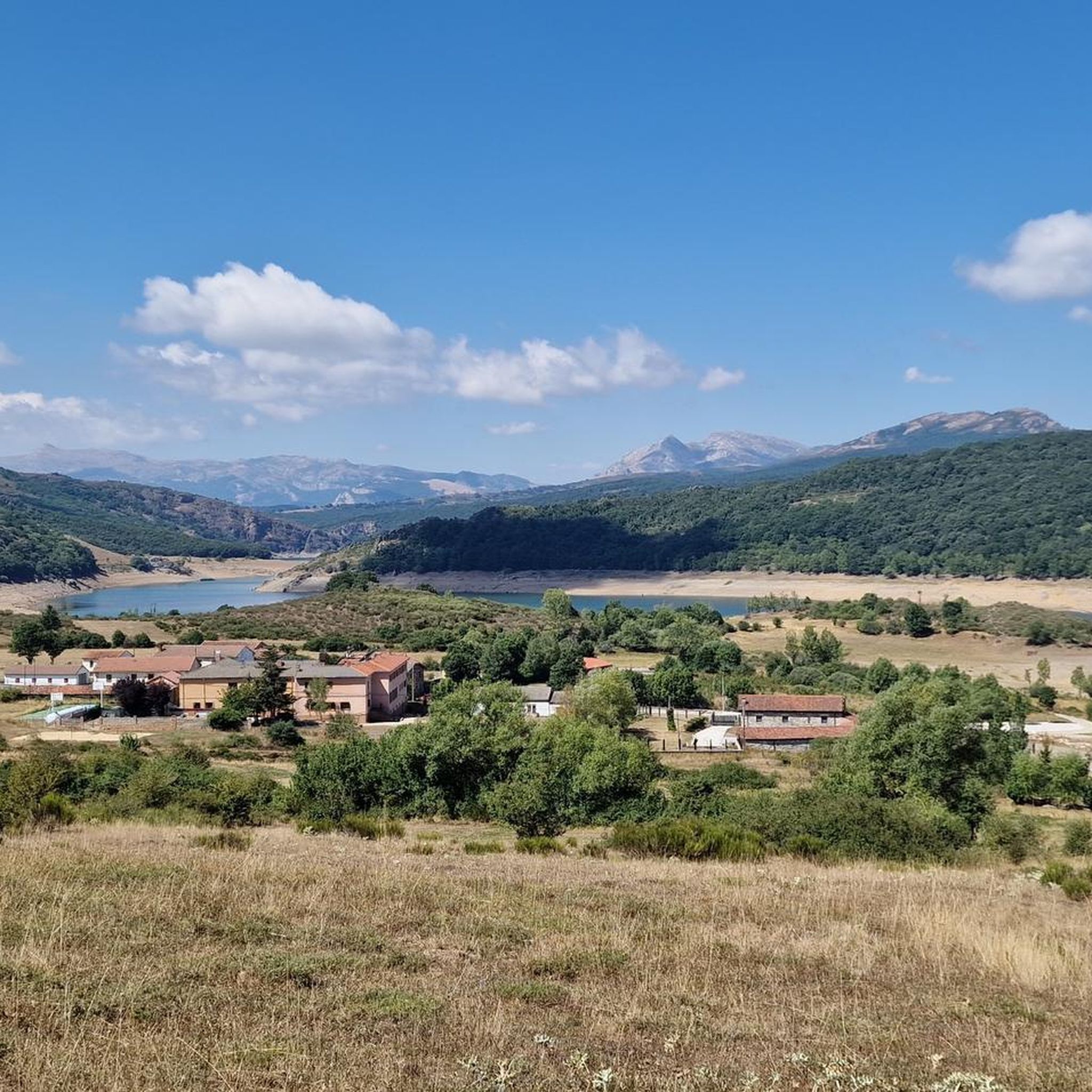
Nice railway bridge that crosses the Pisuerga river on the outskirts of Salinas de Pisuerga.
1
0
The hermitage of Santa Cecilia de Vallespinoso de Aguilar, declared a Historic-Artistic Monument, combines nature, landscape and art. Its construction in the 12th century presents a rectangular nave with a cannon cover and a semicircular apse. Its exterior stands out with well-worked ashlars, a peculiar tower and an imposing cover. The interior impresses with its verticality and a beautiful staircase that joins the nave and head. Sculptures such as the Samson capital and the acanthus leaf capital accentuate its beauty.
2
0

This small hermitage is located on top of a high rock that gives you great views. It's also a good place to take shelter in a rain storm.
0
0
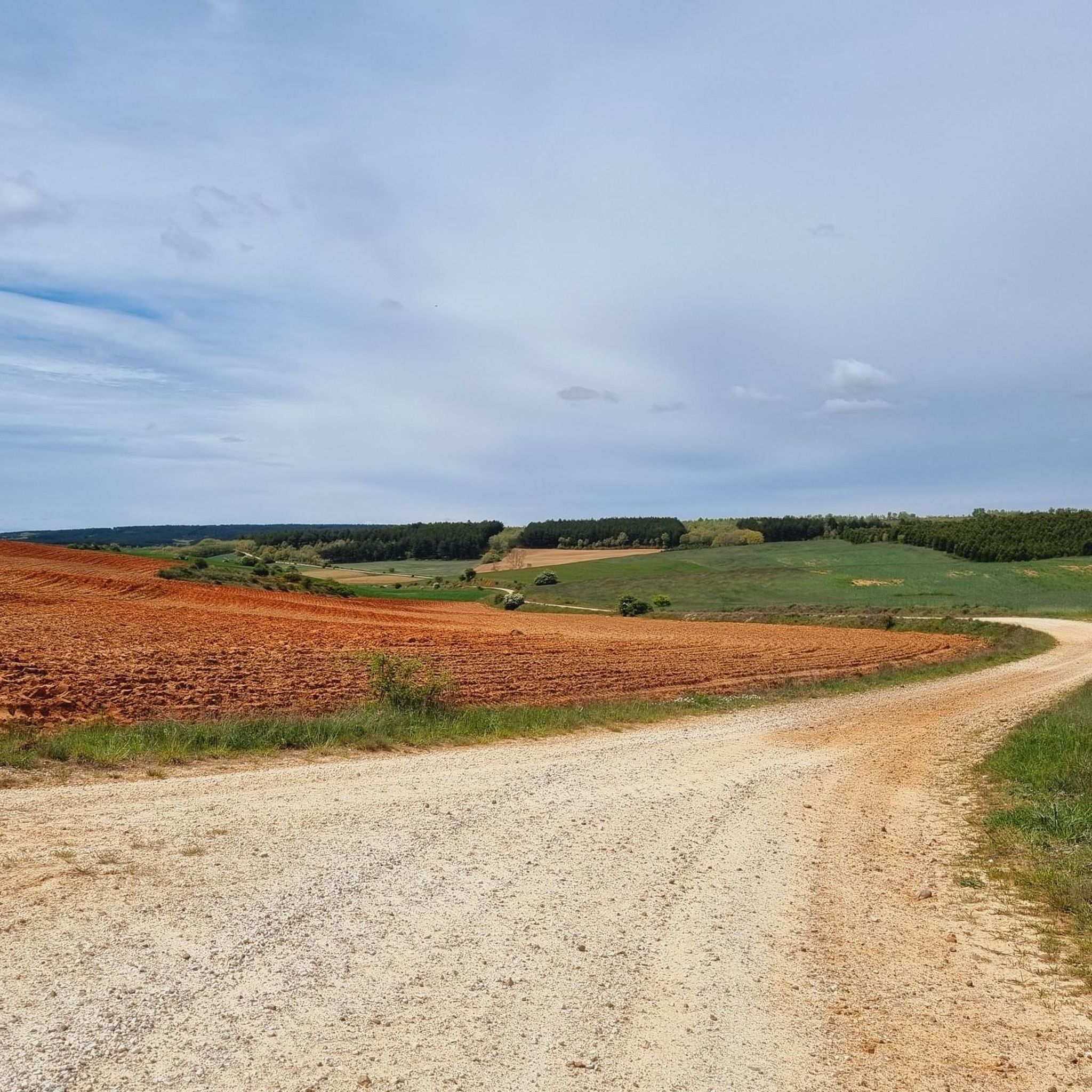
This is a great trail that goes through this valley surrounded by mountains and fields. It's great on a mountain bike or gravel bike.
0
0
Frequently Asked Questions
How many mountain bike trails are available around Payo De Ojeda?
There are 5 mountain bike trails listed around Payo De Ojeda, offering a range of experiences for different skill levels.
Are there any beginner-friendly mountain bike trails in Payo De Ojeda?
While all currently listed trails are rated as moderate or difficult, the region's varied terrain means that some sections of the moderate trails might be suitable for riders looking to build their skills. For example, the Laguna de la Tenada loop from Congosto de Valdavia has less elevation gain compared to others.
What are the distances of the mountain bike trails in Payo De Ojeda?
The mountain bike trails in Payo De Ojeda vary in length. The shortest listed trail is the Hermitage of Santa Cecilia loop from Ermita de San Pelayo at approximately 27.3 km (17 miles), while the longest is the Cervera de Pisuerga – Ruesga Reservoir loop from Vado-Cervera, spanning about 68.7 km (42.7 miles).
Are there any challenging mountain bike trails for experienced riders?
Yes, experienced riders can tackle the Cervera de Pisuerga – Ruesga Reservoir loop from Vado-Cervera, which is rated as difficult and features significant elevation changes over its 68.7 km length.
Can I find circular mountain bike routes in Payo De Ojeda?
Absolutely. Many of the trails are designed as loops, such as the Ermita de la Peña – Perapertú Village loop from Vado-Cervera and the Laguna de la Tenada loop from Congosto de Valdavia, allowing you to start and finish at the same point.
What kind of scenery can I expect on the mountain bike trails?
The trails offer diverse scenery, including historical Romanesque heritage sites, views of reservoirs and natural lagoons, and varied terrain that can include open spaces and forested sections. The Palencian Romanesque Natural Trail: Coking Coal Route is a great example of a route combining history with nature.
What do other mountain bikers enjoy about the trails in Payo De Ojeda?
The mountain bike trails in Payo De Ojeda are highly rated by the komoot community, with an average score of 5.0 stars. Riders often praise the engaging climbs and descents, the blend of natural and historical landscapes, and the diverse scenery, including reservoir views and natural lagoons.
Are there any interesting landmarks or attractions along the mountain bike routes?
Yes, the region is rich in points of interest. You might encounter the Hermitage of Santa Cecilia, explore the historic village of Moarves de Ojeda, or ride through the Tejeda de Tosande Yew Forest Trail. Many routes also offer scenic views like the Scenic Dirt Road Through the Valley.
What is the typical duration for mountain bike rides in Payo De Ojeda?
Ride durations vary significantly based on the trail's length and difficulty. For instance, the Laguna de la Tenada loop from Congosto de Valdavia typically takes around 3 hours 21 minutes, while longer routes like the Palencian Romanesque Natural Trail: Coking Coal Route can take about 4 hours 24 minutes.
What are the elevation gains like on the mountain bike trails?
The trails feature varied elevation gains, providing engaging climbs and descents. For example, the Ermita de la Peña – Perapertú Village loop from Vado-Cervera has an elevation gain of approximately 753 meters, while the difficult Cervera de Pisuerga – Ruesga Reservoir loop from Vado-Cervera involves over 1244 meters of ascent.
Are there any routes that highlight the Romanesque heritage of the area?
Yes, the region is known for its Romanesque heritage. The Palencian Romanesque Natural Trail: Coking Coal Route is specifically designed to take you through historical and natural landscapes, showcasing this unique aspect of the area.
Most popular attractions around Payo De Ojeda

Get inspired with the komoot mobile app


Explore more
Browse the best MTB trails in other regions.
