The best running trails around Cádiar
5.0
(1)
98
runners
23
runs
Jogging around Cádiar offers diverse landscapes, situated between the Sierra Nevada and Sierra Contraviesa mountain ranges, with the River Guadalfeo flowing nearby. The region features mountainous terrain with significant elevation changes, river valleys, and agricultural land with olive groves and vineyards. Traditional white villages and the GR-7 footpath also provide scenic backdrops for running routes.
Best jogging routes around Cádiar
- The most popular jogging route is La Alpujarra - circular trail running between Cádiar, Golco, Mecina Bombarón and Bérchules,…
Last updated: June 30, 2026
7
runners
9.18km
01:28
550m
540m
Hard run. Very good fitness required. Mostly paved surfaces. Suitable for all skill levels.
4
runners
9.22km
01:18
490m
500m
Hard run. Very good fitness required. Mostly accessible paths. Some sure footedness required.

Sign up for free
1
runners
9.06km
01:08
220m
220m
Moderate run. Good fitness required. Mostly accessible paths. Some sure footedness required.
Hard run. Very good fitness required. Mostly paved surfaces. Suitable for all skill levels.
5.0
(1)
8
runners
24.1km
03:33
1,260m
1,260m
Hard run. Very good fitness required. Mostly accessible paths. Some sure footedness required.
Get access to more routes and recommendations from other explorers.
Sign up for free
Already have an account?
Our route recommendations are based on thousands of hikes, rides, and runs completed by other people on komoot.
Start today with a free account
Your next adventure awaits.
Login or Signup
Popular around Cádiar
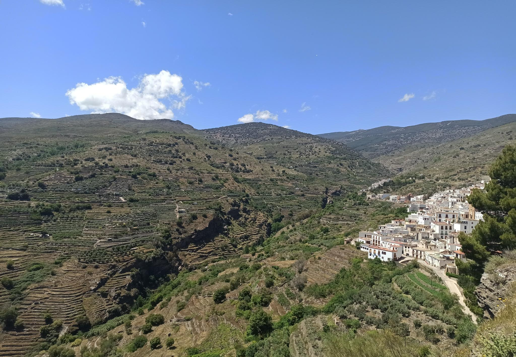
Among white villages - Path of the Alpujarra (GR 142)
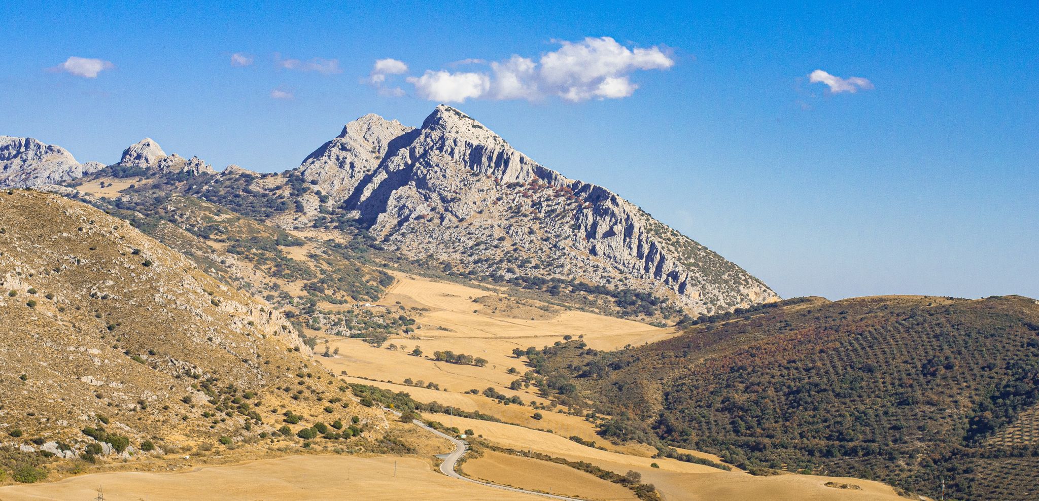
The beauty of the Andalusian mountains – Transandalus southern section

Andalusia without limits – Tarifa to La Puebla de Don Fabrique on the GR 7
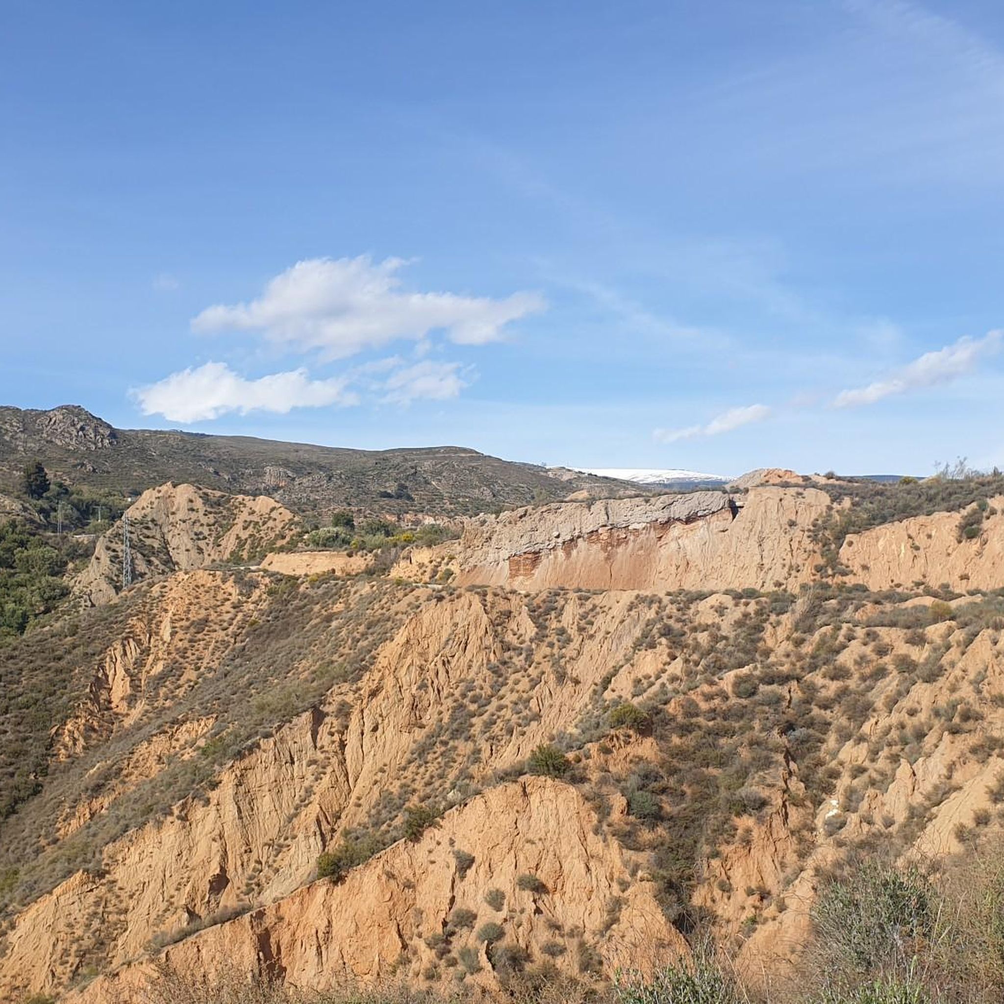
Cycling around Cádiar
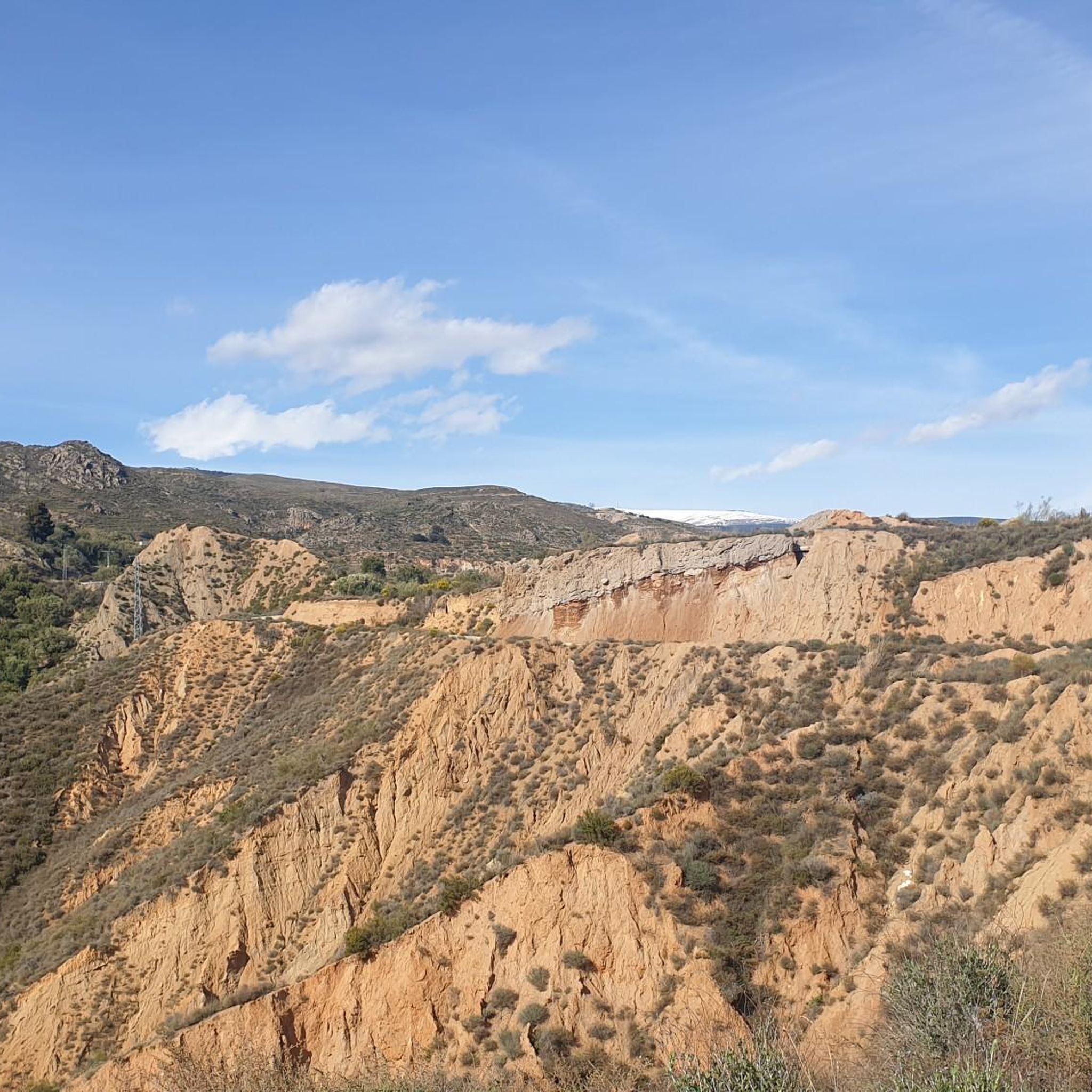
Road Cycling Routes around Cádiar
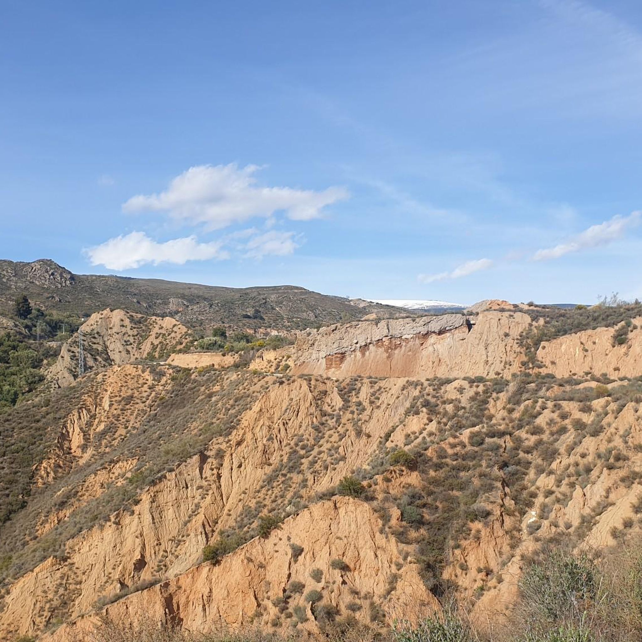
MTB Trails around Cádiar
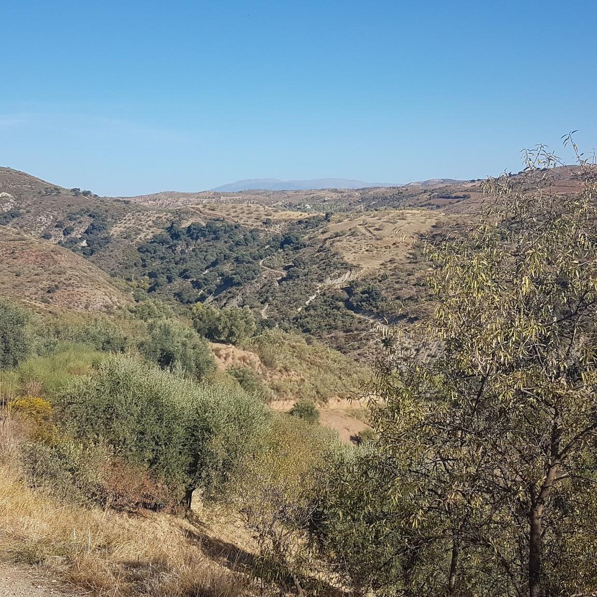
Hiking around Cádiar

Gravel biking around Cádiar
Other adventures around Cádiar


Tips from the Community

This hike is really tough: -very poorly signposted -inaccurate komoot navigation -long, constant ascent, 560 meters of altitude gain -during the ascent, you have to climb a section on scree, for me even on hands and knees -the descent goes for a long time over scree, loose slate, along a very narrow path next to the ravine -we took 8 hours for it..(got lost for a bit and had to turn back to find the right path again) -tip: look for the 'stone men', so you can still orient yourself now and then
0
0

No problem at all with the north way, really nice landscape; 1h30 in running
2
0

Trevélez, located in the Alpujarra of Granada, is one of the highest villages in Spain, with an official altitude of 1,480 meters and its upper district reaching 1,600 meters above sea level. This picturesque Andalusian village is famous for its natural surroundings, traditional architecture, and exquisite cuisine.
2
0


Although it is somewhat larger than neighboring Mecinilla and Fondales, Mecina is still a small village perfect for those seeking tranquility. The town hides several trails that take you to visit the rest of the towns in the La Taha region.
2
1

It is the birthplace of Abén Humeya, promoter and first leader of the Moorish rebellion in 1568. He was born into a Moorish family converted to Christianity after the conquest of Granada in 1492. He left Christianity in favor of Islam and fought against repression of the Muslim faith and customs and the breach of the Capitulations of Granada and the laws of Carlos I and Felipe II. Said rebellion, which lasted three years and spread throughout the province, was violently controlled by the latter monarch.
0
0

A hiking route through the town of Medina fondales, we left the car on the road next to said town and began to go down towards an old mill located on an old Roman bridge over the Trevelez river, a fabulous descent through a small boulevard that in some times It must carry a lot of water, we can see the bridge and what remains of the mill and we go back up where we came down from this same bridge. If we wanted, we could get to Orgiva to the right and to the left to the portichuelo de castaras. the slips.
2
0
This town, located at an altitude of 1,476 m on the southwestern slopes of Mulhacén, is not exactly the highest town in Spain as some claim, but its municipal area is, since the Mulhacén peak is located there. It is for this reason that some of its agricultural lands are also among the highest in Europe. Its name comes from the Latin "velex" which means 'valley'.
2
0
Frequently Asked Questions
How many running routes are available around Cádiar?
There are over 20 running routes around Cádiar, offering diverse options for trail running and jogging. These include a mix of moderate paths and challenging trails, catering to various fitness levels.
Are there any circular running routes in the Cádiar area?
Yes, Cádiar offers several excellent circular running routes. A notable option is La Alpujarra - circular trail running between Cádiar, Golco, Mecina Bombarón and Bérchules, which connects several traditional Alpujarran villages over 19.8 km. Another popular choice is Sendero Los Castaños – circular trail running from Válor, a challenging 9.2 km path with varied terrain.
What kind of terrain can I expect on jogging routes near Cádiar?
Jogging routes near Cádiar feature a diverse range of terrains. You'll find mountainous sections with significant elevation changes, paths through river valleys like the Guadalfeo, and agricultural land with olive groves and vineyards. Surfaces vary from unpaved tracks and hiking trails to paved sections and asphalt, providing a varied experience.
Are there any moderate running trails suitable for beginners or those seeking a less strenuous run?
While many routes in Cádiar are challenging, there are moderate options available. For example, the Acequia Real de Mairena – circular trail running from Mairena (PR-A 421) is a 9.1 km moderate trail that leads through agricultural land and traditional irrigation channels, offering a less strenuous experience.
What are some interesting landmarks or sights I might encounter on a run around Cádiar?
Running routes around Cádiar often pass through or near charming traditional white villages, offering cultural sights. You might also encounter natural features like the Peñabón summit or views of the Trevélez River and its gorges, such as Tajo del Águila. The GR-7 footpath, which passes through Cádiar, also offers extensive scenic views.
What do other runners say about the trails in Cádiar?
The running routes in Cádiar are highly rated by the komoot community, with an average score of 5.0 stars from over 2 reviews. More than 100 runners have used komoot to explore Cádiar's varied terrain, often praising the stunning natural beauty and the diverse challenges offered by the trails.
Are there any long-distance running options in the Cádiar region?
Yes, for those seeking longer distances, the GR-7, a long-distance footpath connecting Greece to Andalusia, passes directly through the municipality of Cádiar. Sections of this trail can be incorporated into local loops, providing extensive route options and varied scenery, including views of the Lecrín valley and the Sierra Nevada.
Can I find routes that offer significant elevation gain for challenging trail running?
Absolutely. Cádiar is situated at 919 meters above sea level, and the surrounding region, nestled between the Sierra Nevada and Sierra Contraviesa mountain ranges, offers routes with significant elevation changes. For example, the Peak Peñabón – trail running circular from Trevélez (SL-A 78) involves over 545 meters of elevation gain over 9.1 km, making it a challenging option.
What is the best time of year for running in Cádiar?
The changing seasons bring different visual appeals to Cádiar. Spring offers beautiful almond blossoms, while autumn showcases vibrant deciduous forests. The region's diverse landscapes make it suitable for running throughout much of the year, though higher altitude routes might be more accessible outside of winter, and summer runs are best done in the cooler parts of the day.
Are there any routes that pass through or near the famous Trevélez village?
Yes, some routes in the broader region will bring you close to or through Trevélez village, which is famous for its Serrano ham. The Peak Peñabón – trail running circular from Trevélez (SL-A 78) starts from Trevélez, allowing you to explore the area around this notable settlement.
What kind of natural features can I expect to see while running in Cádiar?
Cádiar's location between the Sierra Nevada and Sierra Contraviesa mountains means you'll experience stunning natural beauty. Expect to see diverse flora, olive groves, almond trees, oaks, vineyards, and the flowing River Guadalfeo. The higher altitudes feature impressive glacial valleys and peaks exceeding 3,000 meters, offering breathtaking views.
Most popular attractions around Cádiar

Get inspired with the komoot mobile app


Explore more
Browse the best Running Trails & Routes in other regions.
