The best walks and hikes around Alcocer De Planes
4.6
(640)
3,793
hikers
129
hikes
Hiking around Alcocer De Planes offers access to varied terrain, characterized by significant elevation changes and historical points of interest. The region features mountainous landscapes with prominent peaks like Montcabrer, alongside valleys and cultural sites. Trails often traverse natural areas, providing opportunities to explore the local environment.
Best hiking trails around Alcocer De Planes
- The most popular hiking route is Montcabrer from Cocentaina Trail (PR-CV 37), a 9.8 miles (15.8 km) trail that takes 6 hours 26 minutes to…
Last updated: July 8, 2026
4.0
(3)
34
hikers
15.8km
06:27
870m
880m
Hard hike. Very good fitness required. Mostly accessible paths. Sure-footedness required.
4.8
(13)
86
hikers
11.9km
05:25
800m
800m
Hard hike. Very good fitness required. Mostly accessible paths. Sure-footedness required.

Sign up for free
4.3
(3)
16
hikers
Hard hike. Very good fitness required. Mostly accessible paths. Sure-footedness required.
3.4
(5)
12
hikers
7.61km
02:42
370m
370m
Moderate hike. Good fitness required. Mostly accessible paths. Sure-footedness required.
8
hikers
15.3km
05:09
660m
660m
Hard hike. Very good fitness required. Mostly accessible paths. Sure-footedness required.
Get access to more routes and recommendations from other explorers.
Sign up for free
Already have an account?
Our route recommendations are based on thousands of hikes, rides, and runs completed by other people on komoot.
Start today with a free account
Your next adventure awaits.
Login or Signup

Tips from the Community

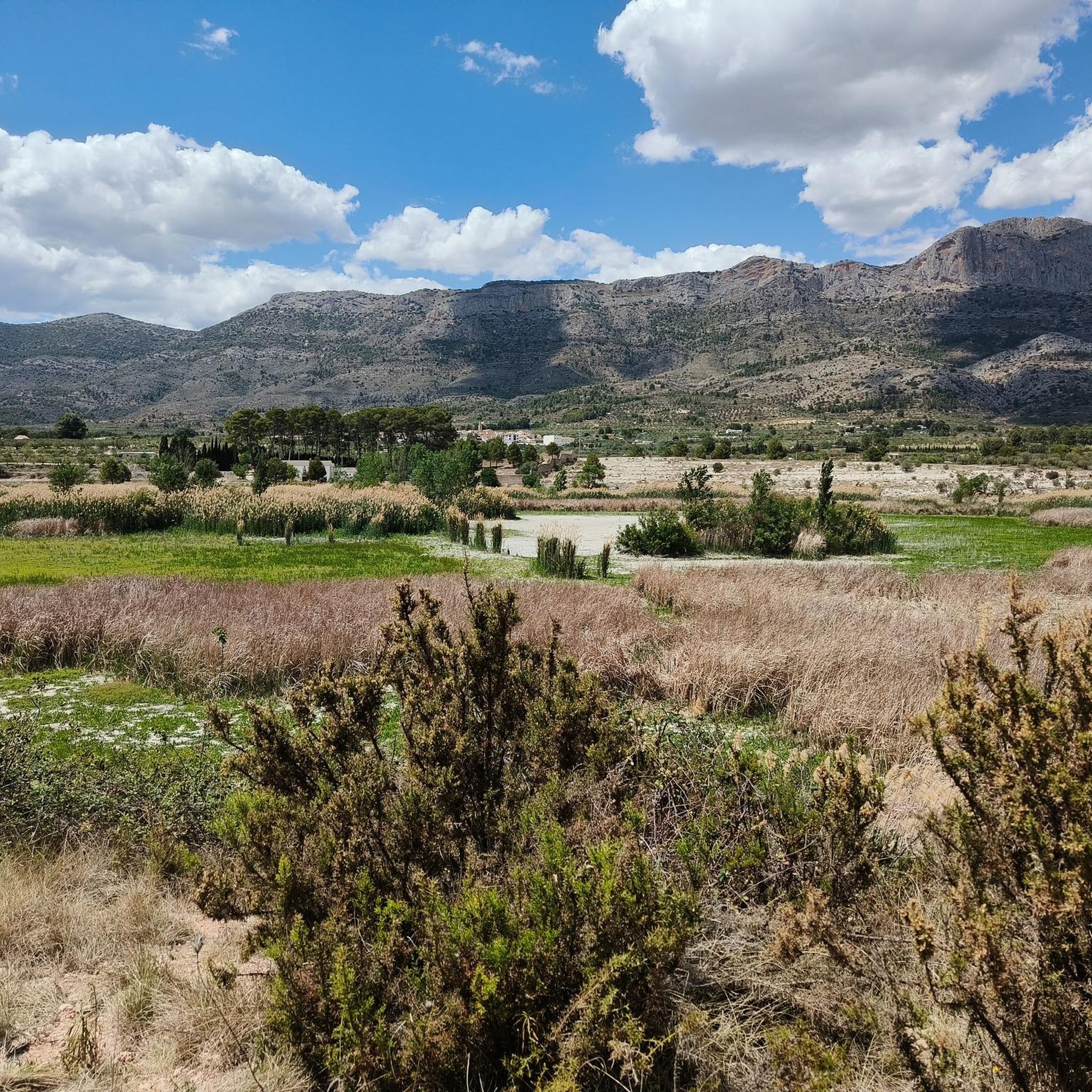
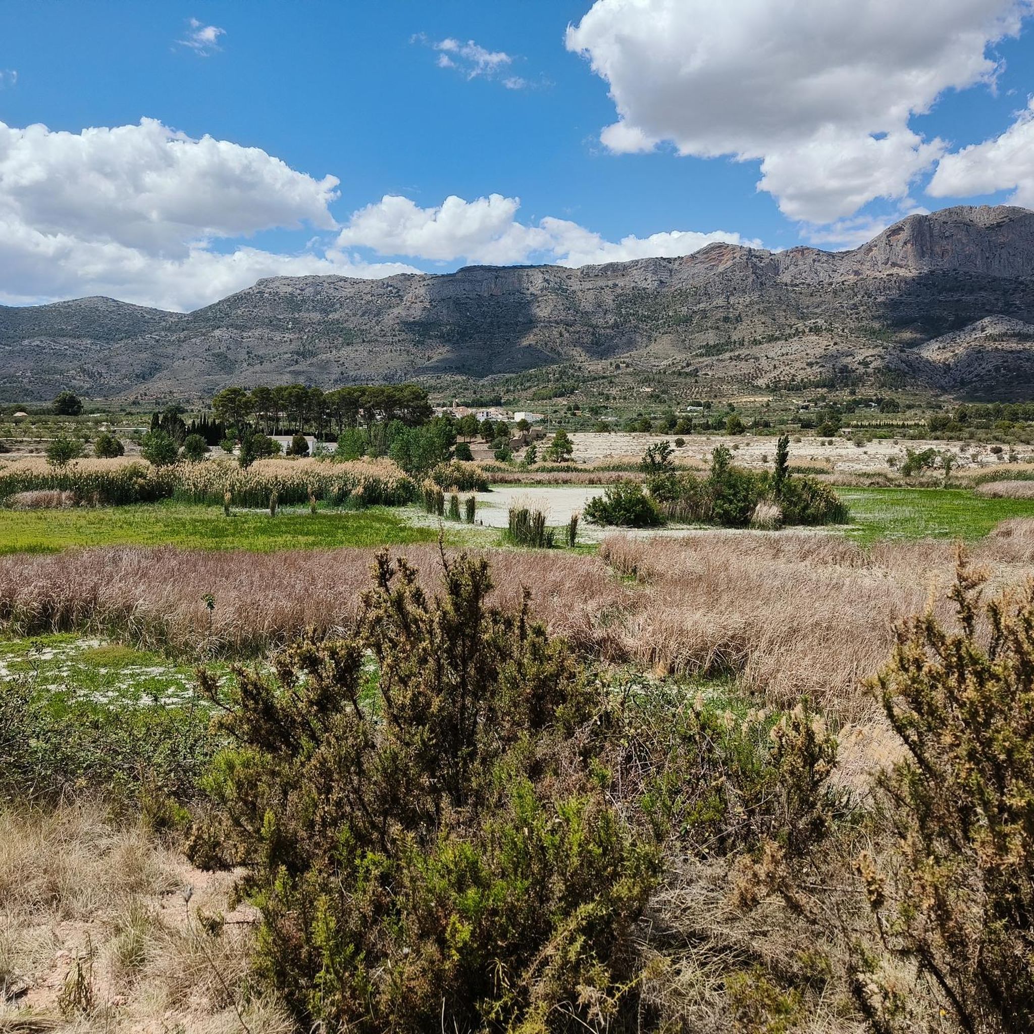
Climb to Montcabrer from the Hermitage of Sant Cristòfol. On this occasion, we have chosen to use paths less traveled and away from the normal route. For the climb we have turned left to pass by the Font de l'Heura and the Morales cross, but, inevitably, in some sections of the climb we coincide with said "main" route. Once at the top, for the descent we chose to pass through the Penyes Monteses and continue along the path that runs first on one side of the ridge (north or ombré face with abundant vegetation), to then pass to the other side of the ridge ( south or sunny face with little or no vegetation and a lot of rock). Spectacular route in every sense, demanding on the way up, unforgettable places, impressive views and technical areas on the way down. A true enjoyment of the route.
0
0

Hermitage with a viewpoint towards the city and the valley. It has parking and a picnic area. From here you can connect with several paths in the Mariola mountain range.
1
0


From its 1,390 meters above sea level, the top of Montcabrer is the panoramic point par excellence of the Parc Natural Serra de Mariola. From here you can see other peaks such as Aitana, Puig Campana and in the distance the summit of Montgó and Benicadell. You can reach the top by several alternative paths and trails of varying difficulty, it's all up to you!
2
0

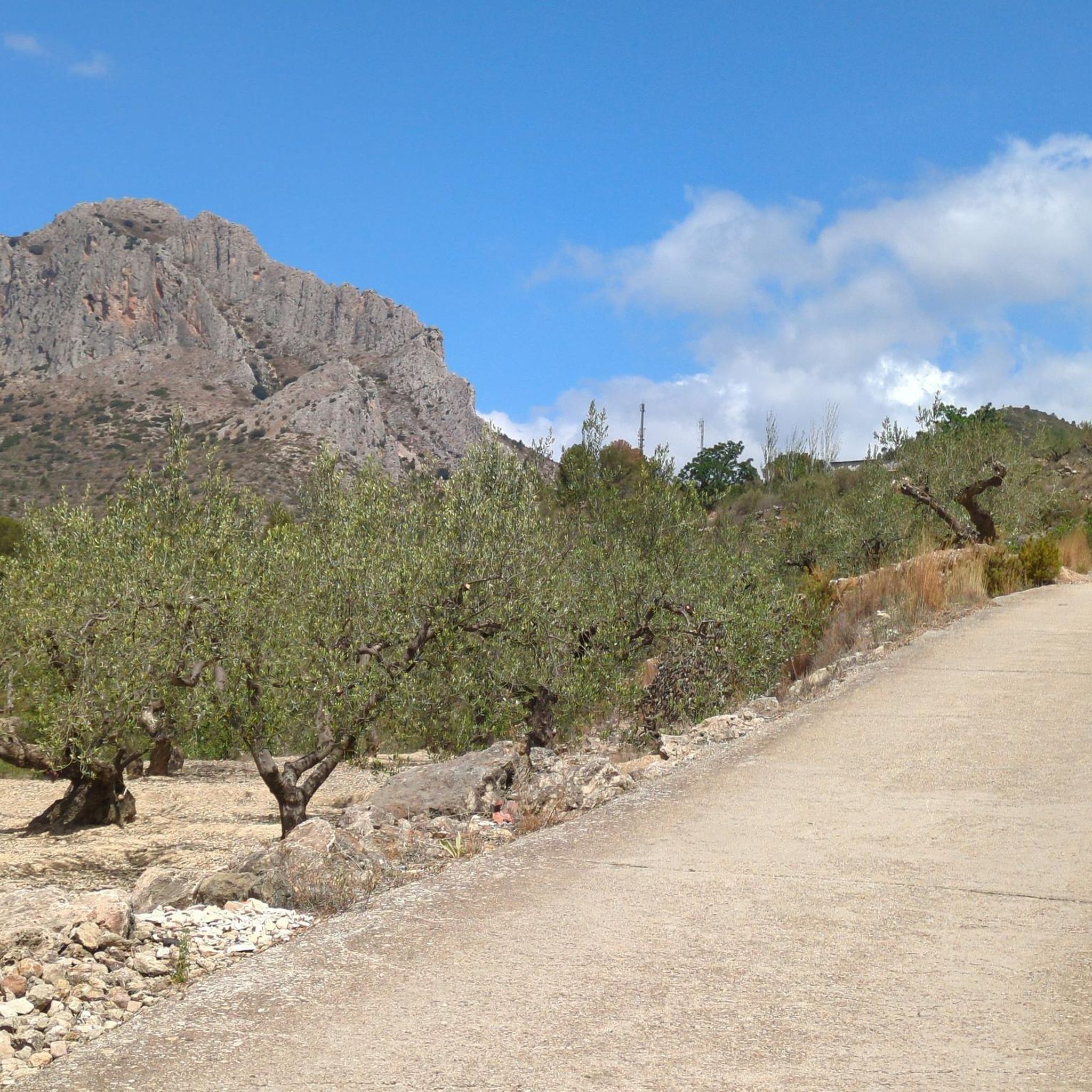
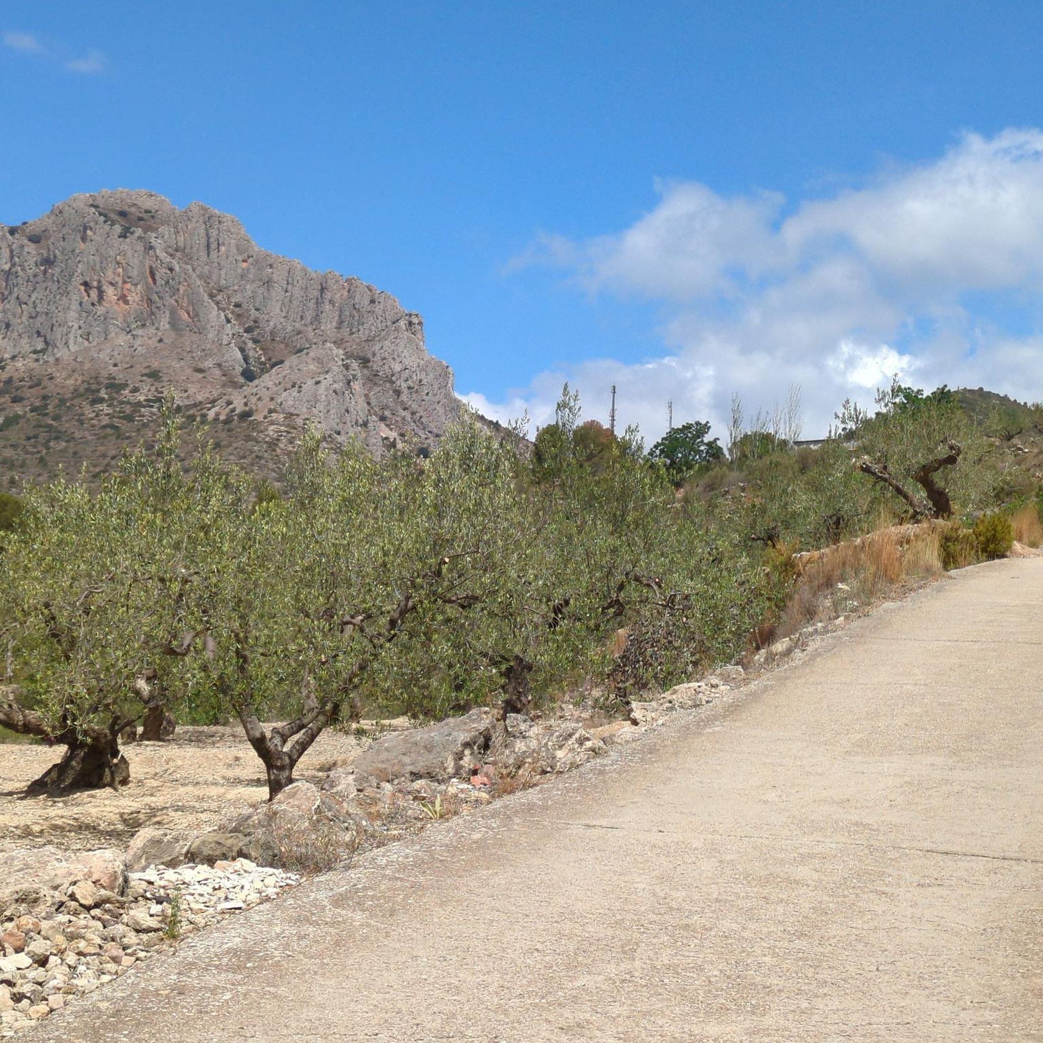
In the Sierra de Mariola Natural Park. The road ends at the ruins of Mas de Llopis. From this point, a well-marked path takes us in about 45 minutes to the top of Montcabrer.
6
2

The summit of Montcabrer is an extraordinary panoramic point of the sierras and mountains of Alicante and southern Valencia. Among others, the Aitana massif, the Campana hill, the Montgó summit, the Benicadell mountain range, the walled silhouette of La Safor, and the distinguished Mondúver appear on the horizon. On clear and clear days it is possible to see the island of Ibiza floating in the Mediterranean.
4
1
Hermitage with a viewpoint towards the city and the valley. It has parking and a picnic area and from here you can connect with several paths of the PNM Serra Mariola
2
0
Frequently Asked Questions
How many hiking trails are available around Alcocer De Planes?
There are over 130 hiking routes in the Alcocer De Planes region, catering to various skill levels. This includes 12 easy trails, 83 moderate routes, and 37 challenging hikes.
Are there any easy or short hiking options in Alcocer De Planes?
Yes, the region offers 12 easy trails. While specific short, easy routes are not detailed here, you can find options under the 'easy' filter on komoot to discover trails suitable for a relaxed walk.
What kind of challenging hikes can I find in Alcocer De Planes?
Alcocer De Planes is known for its mountainous terrain, offering 37 difficult routes. A challenging option is the Racó Llobet – Quebranta loop from Muro de Alcoy, which covers 15.3 km with significant elevation changes.
Are there any circular hiking routes in the area?
Yes, many trails in Alcocer De Planes are circular. For example, the Hiking loop from Muro de Alcoy is a moderate 7.6 km circular route, perfect for a half-day outing.
What are some notable landmarks or viewpoints to see while hiking?
The mountainous landscape around Alcocer De Planes offers several impressive viewpoints and summits. You can find highlights such as the Montcabrer Summit, View of Alt de Benicadell, and the View of the Mountains and Mediterranean Sea, which provide panoramic vistas of the region.
Is Alcocer De Planes suitable for family hikes with children?
While the guide data doesn't specifically tag routes as 'kid-friendly,' the presence of 12 easy trails suggests there are options suitable for families. Look for shorter, less strenuous routes with minimal elevation gain for a pleasant family outing.
What is the best time of year to go hiking in Alcocer De Planes?
Given the Mediterranean climate, spring (March to May) and autumn (September to November) are generally the best times for hiking in Alcocer De Planes. Temperatures are milder, and the landscape is often vibrant. Summers can be very hot, making early morning or late afternoon hikes preferable, while winters are generally mild but can have cooler, wetter periods.
Are dogs allowed on the hiking trails in Alcocer De Planes?
Generally, dogs are welcome on most hiking trails in natural areas around Alcocer De Planes, provided they are kept under control, especially near livestock or protected wildlife areas. Always check local signage for specific restrictions, particularly within natural parks or reserves.
Where can I find parking for hiking trails in Alcocer De Planes?
Parking availability varies by trailhead. Many routes, especially those starting from towns like Cocentaina or Muro de Alcoy, will have designated parking areas nearby. For more remote trailheads, roadside parking might be an option, but it's always advisable to check route descriptions or local maps for specific parking information before you go.
What do other hikers enjoy most about the trails in Alcocer De Planes?
The hiking trails in Alcocer De Planes are highly rated by the komoot community, with an average score of 4.6 stars from over 500 reviews. Hikers often praise the varied mountainous terrain, the historical sites encountered along the way, and the diverse natural landscapes that define the region.
Are there any mountain passes to explore in the Alcocer De Planes area?
Yes, the region features several mountain passes that offer unique perspectives and challenging ascents. Notable passes include Puerto de l'Orxa - Alpatro and Alt de Pinaro, which are part of the broader network of mountain passes around Alcocer De Planes.
Most popular routes around Alcocer De Planes
Most popular attractions around Alcocer De Planes

Get inspired with the komoot mobile app


Explore more
Browse the best Hikes in other regions.
