The best road cycling routes around Ibarra
4.9
(111)
7,480
riders
64
rides
Road cycling around Ibarra offers diverse terrain across the Andean highlands of Ecuador. The region is characterized by varied landscapes, including rolling hills, valleys, and the dramatic backdrop of the Imbabura Volcano. Cyclists can expect routes that range from gentle gradients through agricultural fields to challenging climbs with significant elevation changes, reflecting the area's average elevation of around 7,300 feet (2,225 meters).
Best road cycling routes around Ibarra
- The most popular road cycling route is The Basaburua minor Valley —…
Last updated: July 12, 2026
5.0
(3)
542
riders
84.4km
04:24
1,470m
1,470m
Hard road ride. Very good fitness required. Mostly well-paved surfaces and easy to ride.
4.7
(6)
215
riders
59.3km
03:07
1,080m
1,090m
Hard road ride. Very good fitness required. Mostly well-paved surfaces and easy to ride.

Sign up for free
468
riders
109km
04:56
1,060m
1,060m
Hard road ride. Very good fitness required. Mostly well-paved surfaces and easy to ride.
335
riders
68.0km
02:58
450m
450m
Moderate road ride. Good fitness required. Mostly well-paved surfaces and easy to ride.
5.0
(1)
175
riders
47.9km
02:30
790m
790m
Moderate road ride. Good fitness required. Mostly well-paved surfaces and easy to ride.
Get access to more routes and recommendations from other explorers.
Sign up for free
Already have an account?
Our route recommendations are based on thousands of hikes, rides, and runs completed by other people on komoot.
Start today with a free account
Your next adventure awaits.
Login or Signup
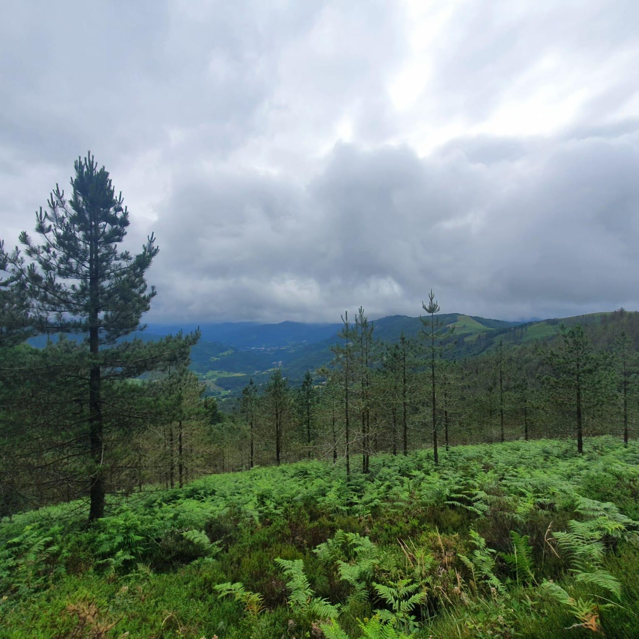
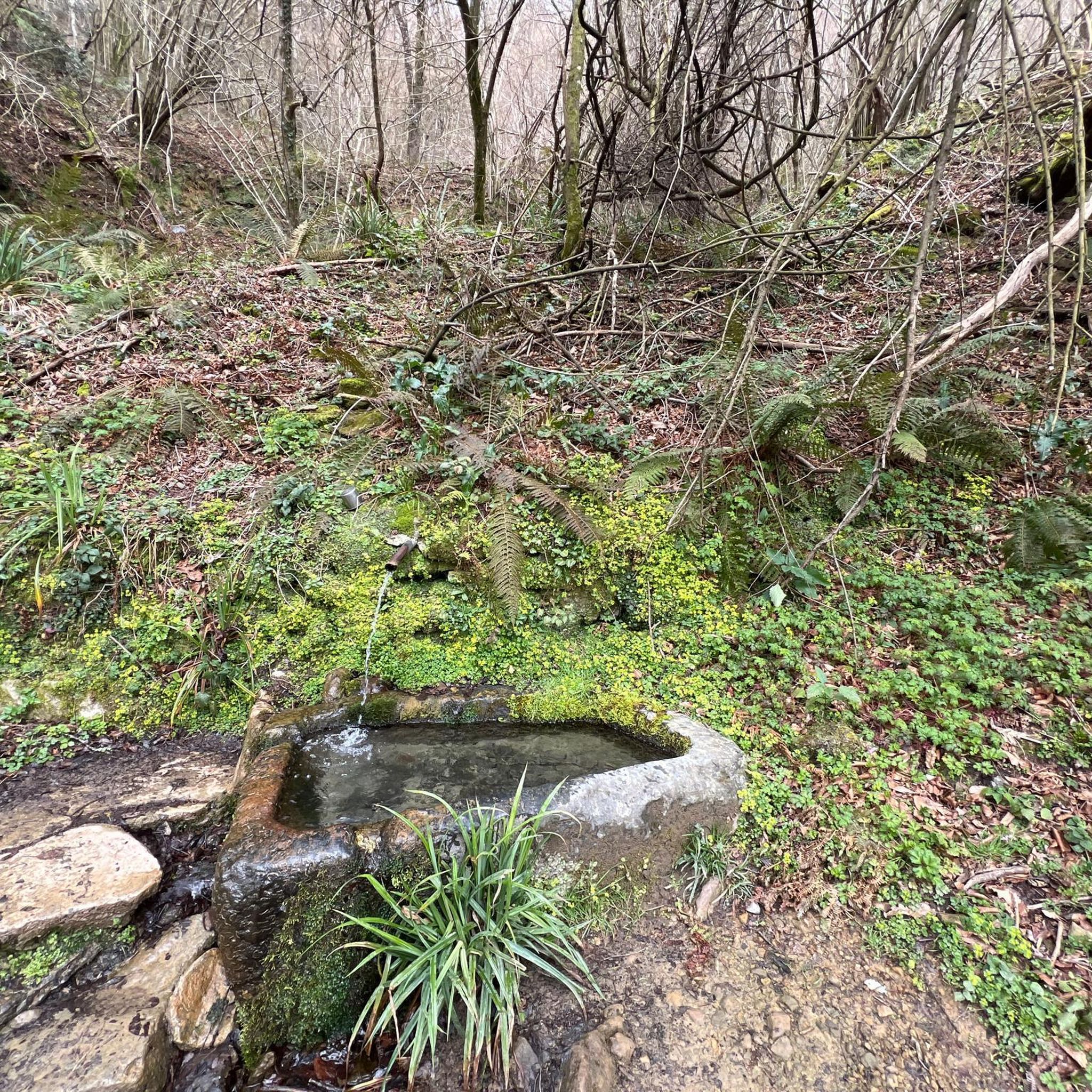
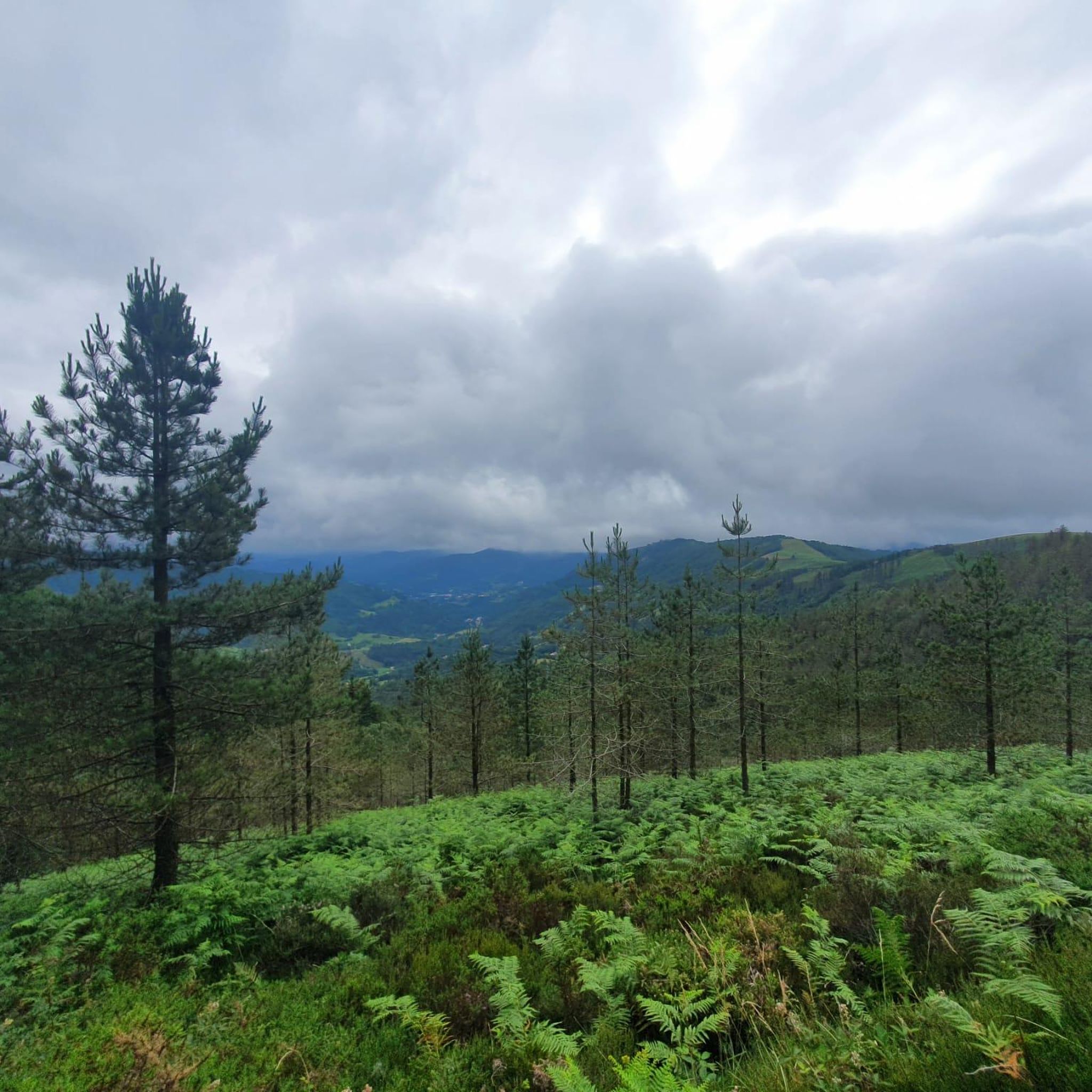


Tips from the Community

I confirm how pleasant that route is, and you can even extend it by going up to Eernio.
0
0


climb with 3 different slopes from Leitza about 6km from Goizueta about 15km from Santesteban about 23km
0
0

The Otzaurte pass, 625 meters high and crowned with a hermitage and an inn, marks the gateway to the Aizkorri-Aratz Natural Park.
1
0

But keep in mind that all those that go to the south go up, logically, on the north faces, come on, they are usually full of mud ... better for when the weather is good.
1
1
The Venta de Otzaurte car park, right next to the hermitage, is the starting point for numerous mountain routes
1
1
Alto de Basakabi, with 3 climbing slopes, from Leitza, Goizueta and Doneztebe
0
0

The Alto de Azpirotz is a mountain pass that is better known for its geographical position than for the hardness or percentages of the ascent. Basically since it is on the border of the province of Guipúzcoa, where it is on the edge of the Valle de Larraun.
0
0
Frequently Asked Questions
What kind of terrain can I expect when road cycling around Ibarra?
Road cycling around Ibarra offers a diverse range of terrain. You'll find everything from rolling hills that pass through agricultural fields and plantations to challenging steep climbs characteristic of the Andean highlands. The region's average elevation is around 7,300 feet (2,225 meters), so significant elevation changes are common, providing both scenic views and demanding ascents.
How many road cycling routes are available in the Ibarra area?
There are over 50 road cycling routes around Ibarra documented on komoot, catering to various skill levels. This includes 7 easy routes, 24 moderate routes, and 26 difficult routes, ensuring options for every cyclist.
What is the best time of year for road cycling in Ibarra?
Ibarra benefits from a mild, warm-summer Mediterranean climate year-round due to its high elevation. The dry season, from June to September, is generally considered the best time for cycling, offering clear blue skies and optimal views of the volcanoes. January and February can also be drier and pleasant for riding.
Are there any challenging road cycling routes for experienced riders?
Yes, Ibarra is known for its challenging climbs. For instance, the route The Basaburua minor Valley — circular from Tolosa is a difficult 84.4 km (52.4 miles) trail with significant elevation gain. Another demanding option is Lizarrusti Pass – Otzaurte loop from Tolosa, which covers 108.6 km (67.5 miles) through mountainous landscapes.
What scenic viewpoints or landmarks can I see along the road cycling routes?
The routes around Ibarra offer breathtaking views of the Andean landscape, including the dramatic Imbabura Volcano. You might also encounter scenic lakes like Laguna de Yahuarcocha, Mojanda Lakes, and San Pablo Lake. For specific natural monuments, consider exploring highlights like Adarra Summit (849 m) or the Leitzaran River Valley. Other points of interest include the Witches' Bridge.
Are there any circular road cycling routes in the Ibarra region?
Yes, many routes in the Ibarra area are designed as circular loops, allowing you to start and end at the same point. Examples include the challenging From Tolosa to the Larraun Valley — circular via the Araxes River and the moderate View of Txindoki from Ordizia – Kaxeta loop from Tolosa.
What do other road cyclists say about the routes in Ibarra?
The road cycling routes in Ibarra are highly rated by the komoot community, with an average score of 4.8 stars from over 90 reviews. Cyclists often praise the varied terrain, stunning Andean backdrops, and the network of routes that cater to different ability levels.
Are there any moderate road cycling routes suitable for intermediate riders?
Absolutely. Ibarra offers 24 moderate road cycling routes. A popular choice is View of Txindoki from Ordizia – Kaxeta loop from Tolosa, a 68 km (42.3 miles) route with a manageable elevation gain. Another good option is Ormaiztegi Viaduct – View of Txindoki from Ordizia loop from Tolosa-Centro, which is 53.8 km (33.4 miles) long.
What kind of natural features define the Ibarra cycling experience?
The Ibarra cycling experience is defined by the majestic Andean highlands, with the Imbabura Volcano as a constant backdrop. You'll cycle past volcanic lakes, scenic valleys, and agricultural fields, offering a constantly changing and visually rich environment. The Peguche Waterfall, originating from the foothills of the Imbabura volcano, is another notable natural attraction in the wider region.
Is Ibarra a good destination for cyclists looking for less crowded routes?
While Ibarra is gaining popularity, the region is known for its excellent road networks, particularly the lesser-traveled paved back roads. These often offer tranquility and authentic natural experiences away from heavy traffic, allowing for a more immersive ride through the Andean landscapes.
What are the typical elevation changes on road cycling routes in Ibarra?
Given Ibarra's average elevation of around 7,300 feet (2,225 meters) and its location in the Andes, road cycling routes often involve significant elevation changes. You can expect routes with substantial climbs and descents, ranging from hundreds to over a thousand meters of elevation gain on longer, more difficult rides.
Most popular attractions around Ibarra

Get inspired with the komoot mobile app


Explore more
Browse the best Road cycling routes in other regions.
