The best walks and hikes around Belauntza
4.5
(206)
2,164
hikers
95
hikes
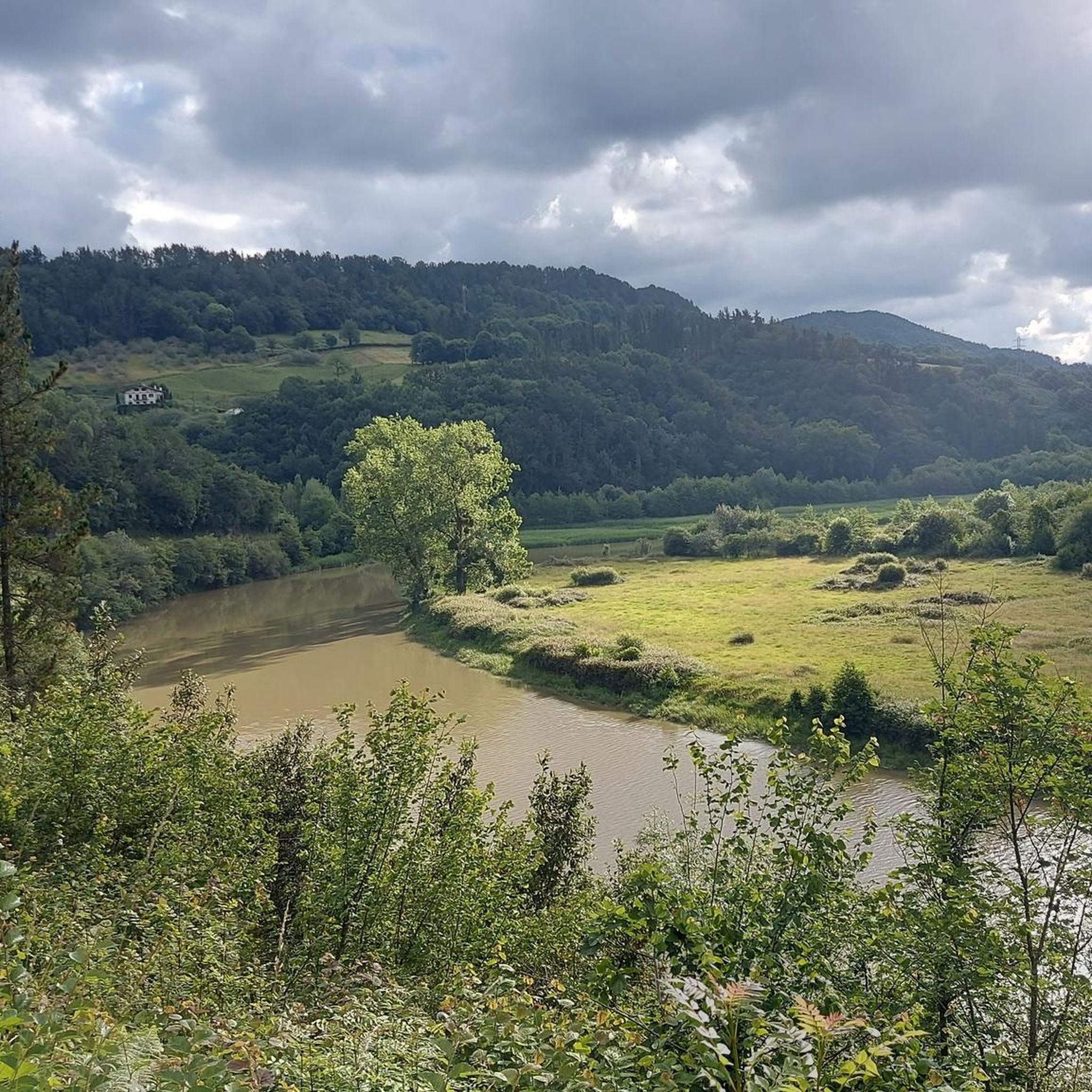
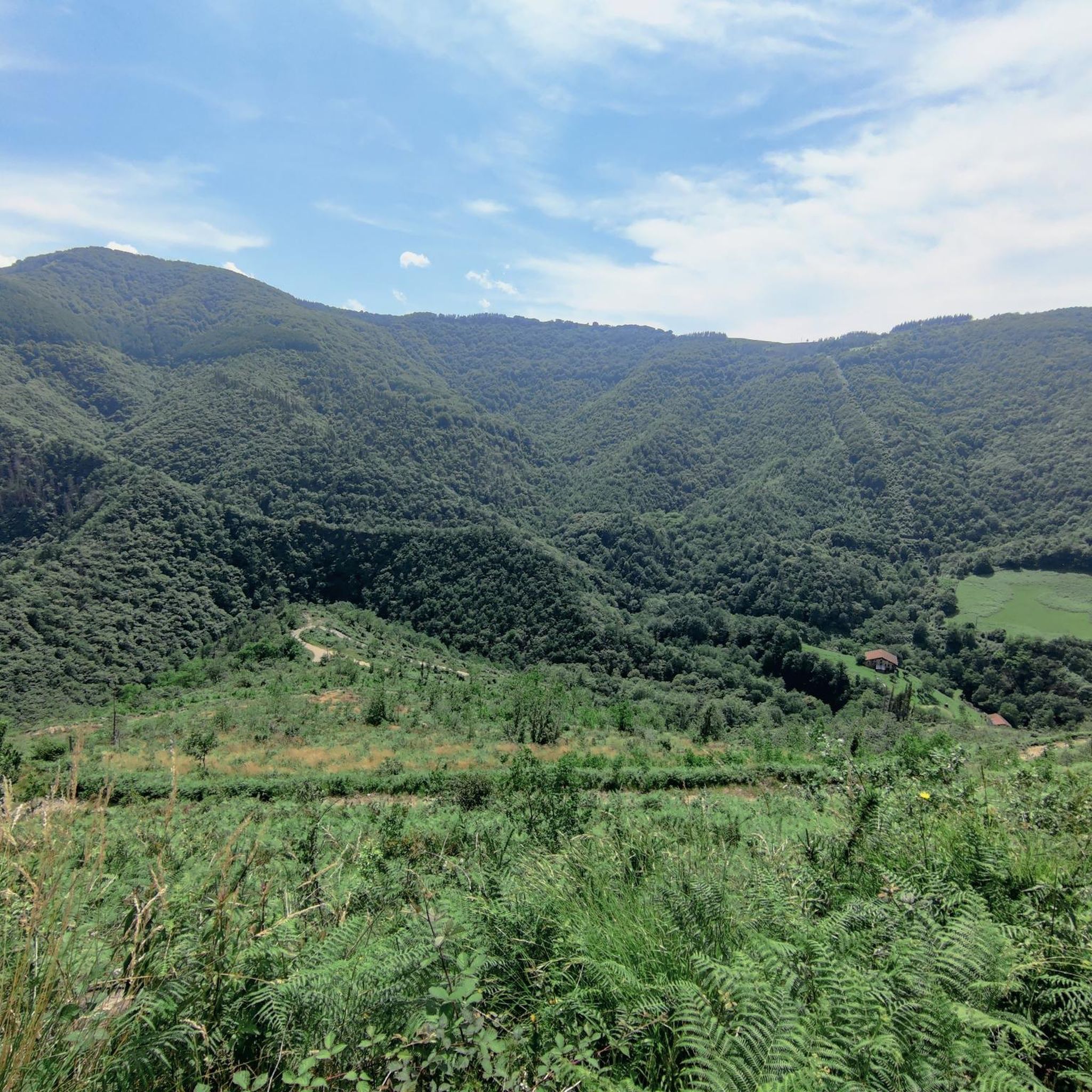
Hiking around Belauntza offers diverse landscapes within the heart of Gipuzkoa in the Basque Country. The region features a blend of mountains, valleys, rivers, and forests, providing varied terrain for outdoor activities. Notable natural features include the Uzturre Summit and the protected Leitzaran River Valley. The broader Gipuzkoa area, where Belauntza is situated, is characterized by its mountains, deep valleys, and significant rivers, with a substantial portion covered by forests.
Best hiking trails around Belauntza
- The most popular hiking route…
Last updated: July 5, 2026
4.7
(3)
13
hikers
10.4km
03:34
450m
450m
This moderate 6.5-mile circular hike from Izaskun to Uzturre via Tolosa offers panoramic views and a rewarding summit experience.
4.7
(10)
95
hikers
13.8km
04:53
640m
640m
Moderate hike. Good fitness required. Mostly accessible paths. Sure-footedness required.

Sign up for free
4.8
(9)
73
hikers
10.3km
03:53
640m
640m
Moderate hike. Good fitness required. Mostly accessible paths. Sure-footedness required.
4.6
(7)
52
hikers
17.6km
06:43
920m
920m
Hard hike. Very good fitness required. Mostly accessible paths. Sure-footedness required.
4.5
(4)
75
hikers
8.96km
03:20
600m
600m
Moderate hike. Good fitness required. Easily-accessible paths. Suitable for all skill levels.
Get access to more routes and recommendations from other explorers.
Sign up for free
Already have an account?
Our route recommendations are based on thousands of hikes, rides, and runs completed by other people on komoot.
Start today with a free account
Your next adventure awaits.
Login or Signup


Tips from the Community

Point before reaching the summit of Ernio. The pilgrimage takes place on Sundays in September. At this point, the hermit who sells cowbells and ribbons stands.
1
0

Small fountain on the GR, with a metal cup next to it.
3
0
It is a modest peak, but it is difficult to reach from the Izaskun neighbourhood. You have to be a little careful not to slip in the last few metres of the north face.
4
0
One of the most visited places by the inhabitants of Tolosa and its surroundings.
4
0
A stop on the way to the cross, with very good views and a table with a roof.
3
0
Very close to the famous restaurant of the same name.
3
0

Cross with spectacular views located a short distance from the true top of Uzturre.
4
0
Mount Uzturre (733 m.), bounded by the basins of the Oria and Leitzaran rivers, is the quintessential Tolosa ascent. A cross erected in 1927 characterizes it, however the summit is a little higher, hidden by trees and without views, which is why the most popular objective for the mountaineer is found on this cross.
4
1
Frequently Asked Questions
How many hiking trails are available around Belauntza?
There are over 90 hiking routes around Belauntza, offering a wide range of options for different skill levels and preferences. These include easy strolls, moderate loops, and challenging summit ascents.
What kind of terrain can I expect on hikes around Belauntza?
Hikes around Belauntza feature a diverse landscape, from the mountainous terrain of peaks like Uzturre and Hernio to lush river valleys such as the protected Leitzaran River Valley. You'll encounter forests, deep valleys, and significant rivers, characteristic of the broader Gipuzkoa region.
Are there any family-friendly hiking options near Belauntza?
While specific family-friendly routes are not detailed, the region offers a variety of trails, including easier options. The Leitzaran River Valley, with its clean waters and riverside forests, provides a pleasant environment for walks that could be suitable for families. Look for routes categorized as 'easy' on komoot for shorter distances and less elevation gain.
Can I bring my dog on the trails around Belauntza?
Many trails in the Basque Country are dog-friendly, especially those in natural areas. However, it's always recommended to keep dogs on a leash, particularly in protected areas like the Leitzaran River Valley, and to check local regulations for specific trails or natural parks to ensure compliance.
Are there any circular hiking routes in Belauntza?
Yes, Belauntza offers several circular hiking routes. A popular choice is the Uzturre Circular Trail, a moderate 6.5-mile (10.4 km) route that takes about 3 hours 33 minutes to complete. Another option is the Uzturre Summit (733 m) – Viewpoint loop from Tolosa, which is 8.3 miles (13.4 km) long.
What natural attractions or landmarks can I see while hiking around Belauntza?
The region is rich in natural beauty and historical sites. You can explore the Leitzaran River Valley, known for its protected biotope. The Uzturre Summit (733 m) offers panoramic views. For those interested in ancient history, the Adarra Summit (849 m) area features megalithic monuments like the Eteneta Stone Circle.
What is the best season for hiking in Belauntza?
Belauntza offers hiking opportunities throughout the year. Spring and summer bring vivid landscapes and pleasant temperatures. Autumn is particularly captivating, especially in areas with beech forests like the Belaustegi Waterfall, where fog and vibrant colors create a magical atmosphere. Even winter can be suitable, though conditions on higher peaks like Uzturre or Hernio may require more preparation.
Are there any challenging hikes for experienced trekkers?
Yes, for experienced trekkers, there are challenging routes available. The Hernio Summit – Friends of Hernio Shelter loop from Hernialde is a difficult 10.9-mile (17.6 km) trail that leads through mountainous terrain and typically takes over 6 hours to complete, offering a significant ascent.
What do other hikers enjoy most about hiking in Belauntza?
The area is highly rated by the komoot community, with an average score of 4.6 stars from over 170 reviews. Hikers often praise the diverse landscapes, from challenging mountain ascents to serene river valleys, and the well-maintained trails that allow for exploration of the region's natural beauty.
Are there any hikes that feature waterfalls near Belauntza?
While not directly in Belauntza, the nearby Belaustegi Waterfall, located in Gorbeia Natural Park, is considered one of the most beautiful waterfalls in the Basque Country. The area around it features one of Spain's most significant beech forests, offering an enchanting route, particularly in autumn.
What are the elevation gains like on trails around Belauntza?
Elevation gains vary significantly depending on the trail's difficulty. Moderate routes like the Uzturre Circular Trail involve around 450 meters (1,476 ft) of ascent. More challenging hikes, such as the Hernio Summit – Friends of Hernio Shelter loop from Hernialde, can feature over 900 meters (2,950 ft) of elevation gain, providing a strenuous workout.
Are there any trails that offer views of the Uzturre Summit?
Yes, several trails offer views of or ascend to the Uzturre Summit. The Uzturre Summit (733 m) – Viewpoint loop from Tolosa is an 8.3-mile (13.4 km) route that directly ascends to the summit, providing panoramic views. Another option is the Cruz de Uzturre – Uzturre Summit (733 m) loop from Tolosa-Centro.
Most popular routes around Belauntza
Most popular attractions around Belauntza

Get inspired with the komoot mobile app


Explore more
Browse the best Hikes in other regions.
