The best cycling routes around Pelahustán
5.0
(2)
235
riders
28
rides
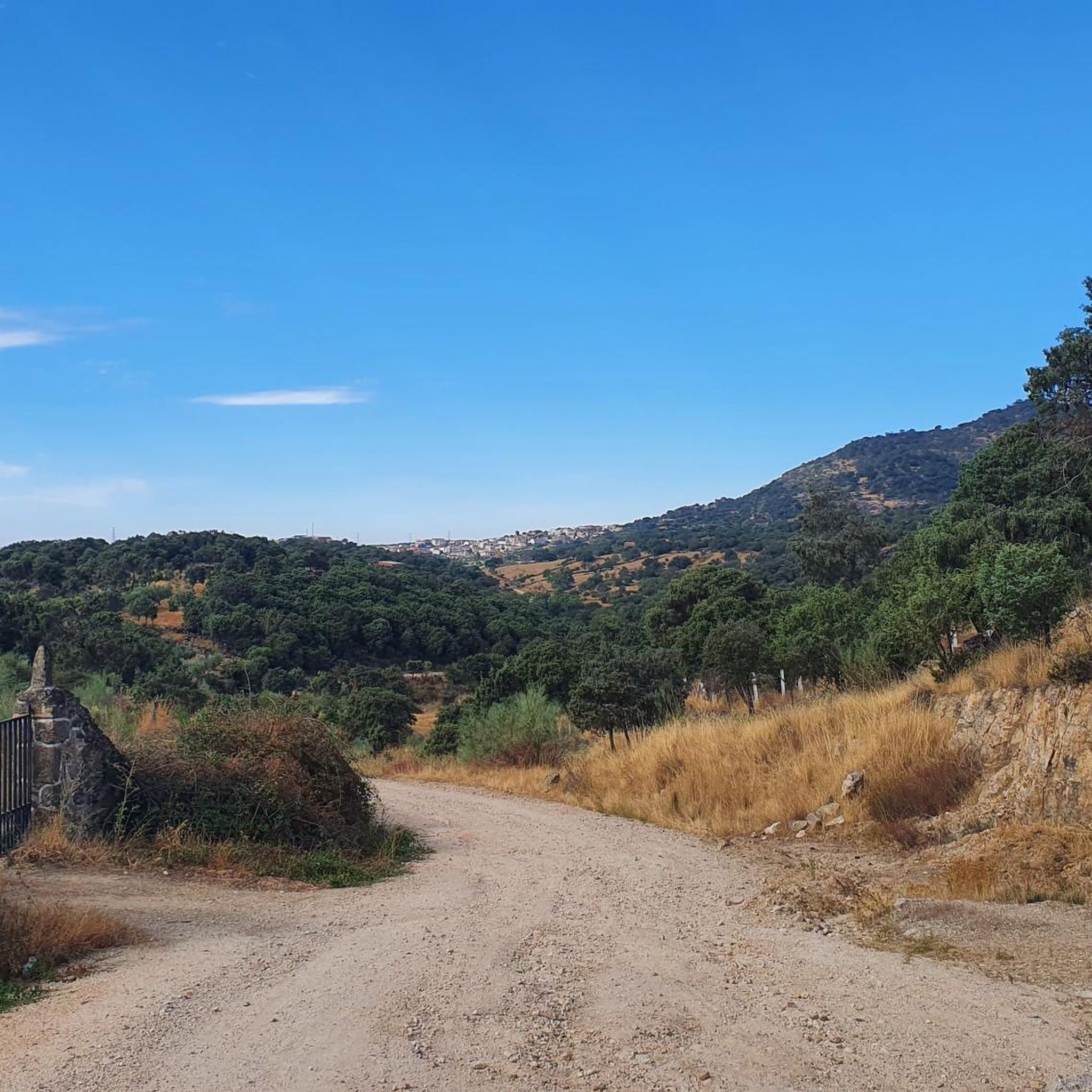
Touring cycling around Pelahustán offers diverse landscapes within the Sierra de San Vicente region of Toledo, Spain. The area features varied topography, including rolling hills and challenging climbs, particularly towards the Montes de Toledo. Routes traverse picturesque fluvial surroundings, agricultural lands, and expansive holm oak forests, complemented by cork oaks, pines, and junipers. This terrain provides engaging routes for different fitness levels.
Best touring cycling routes around Pelahustán
- The most popular touring cycling route is Puerto del Piélago – Santa…
Last updated: July 2, 2026
5.0
(1)
24
riders
66.4km
04:37
1,210m
1,210m
Hard bike ride. Very good fitness required. Mostly paved surfaces. Suitable for all skill levels.
15
riders
48.9km
04:31
1,000m
1,000m
Hard bike ride. Very good fitness required. You may need to push your bike for some segments of this route.

Sign up for free
6
riders
43.3km
04:00
1,190m
1,190m
Hard bike ride. Very good fitness required. Mostly paved surfaces. Suitable for all skill levels.
6
riders
45.1km
04:19
890m
890m
Hard bike ride. Very good fitness required. You may need to push your bike for some segments of this route.
6
riders
46.0km
03:08
810m
810m
Hard bike ride. Very good fitness required. Mostly paved surfaces. Suitable for all skill levels.
Get access to more routes and recommendations from other explorers.
Sign up for free
Already have an account?
Our route recommendations are based on thousands of hikes, rides, and runs completed by other people on komoot.
Start today with a free account
Your next adventure awaits.
Login or Signup


Other adventures around Pelahustán

Tips from the Community

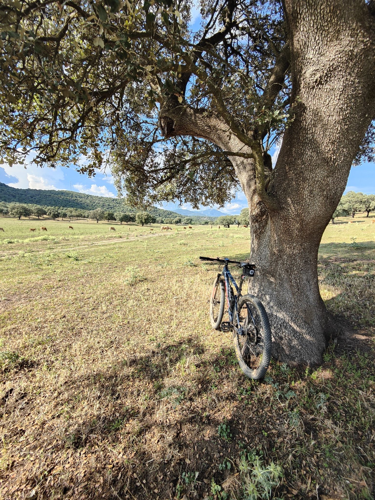
As you pass through the Toledo pastureland, south of the San Vicente mountain range, you pass by numerous cattle ranches surrounded by stones. A setting that could be the very definition of bucolic.
0
0
Surrounding Real de San Vicente lies a magnificent pastureland where you can enjoy the holm oaks, oak trees, and other vegetation. If you walk quietly, you might be lucky enough to spot roe deer, foxes, deer, and other native fauna.
0
0
El Real de San Vicente is located at the foot of the mountain range from which it takes its name, in a prime setting for outdoor activities. Its location is associated with military settlements in the 11th and 12th centuries. Remains of its millennia-long occupation are preserved in the village.
0
0
At the foot of the San Vicente mountain range lies San Román de los Montes, a town whose historical importance is evident in the impressive 16th-century Roll of Justice, crowned with four dog heads, found in its historic center.
0
0

It's worth seeing, especially in spring, when the stream is usually full of water and there's a small waterfall.
0
1

The place name Pelahustán seems to derive from the activity related to looms and the sale of linen that the population had in the past. In documents from the 18th century, it appears as Pelafustan. According to the dictionary of the Royal Spanish Academy, the concept of pelafustán is equated with that of pelagatos, which in turn means “insignificant or mediocre person, without social or economic position.” The town also had several water mills worked by Salamancan teleworkers. Pelahustán is located at an altitude of 673 meters above sea level and borders the terms of Higuera de las Dueñas in the province of Ávila, Nombela, Nuño Gómez, Garciotum and El Real de San Vicente in the province of Toledo, and Ceniientos in the Community of Madrid 😊
2
0

The Church of St. Mary Magdalene in Garciotum is a 15th-century Gothic-Renaissance church. You'll probably notice that the tower is in a different style; it dates back to the 17th century.
1
0

Its name refers to the aromatic fennel plant, abundant in this area. In addition to the surroundings, the town's urban complex and the Church of La Concepción are worth a visit. Also worth visiting are the remains of the castle, built on top of an Islamic tower. A few meters from the castle, you can visit the cave where, according to tradition, Saints Vincent, Sabina, and Christeta, Martyrs of Talavera, took refuge during the Dacian persecution.
0
0
Frequently Asked Questions
What kind of terrain can I expect when touring cycling around Pelahustán?
The Pelahustán region, situated in the Sierra de San Vicente, offers a dynamic and varied topography. You'll encounter rolling hills and more challenging climbs, especially as you venture towards the Montes de Toledo. Routes often traverse picturesque fluvial surroundings, agricultural lands, and expansive holm oak forests, complemented by cork oaks, pines, and junipers.
Are there any easy touring cycling routes for beginners in Pelahustán?
While the majority of touring cycling routes around Pelahustán are rated as difficult, there is at least one easy route available. The region also offers a couple of moderate options. This means that while many routes present a challenge, there are still choices for those looking for a less strenuous experience.
What are some notable landmarks or points of interest I can see along the cycling routes?
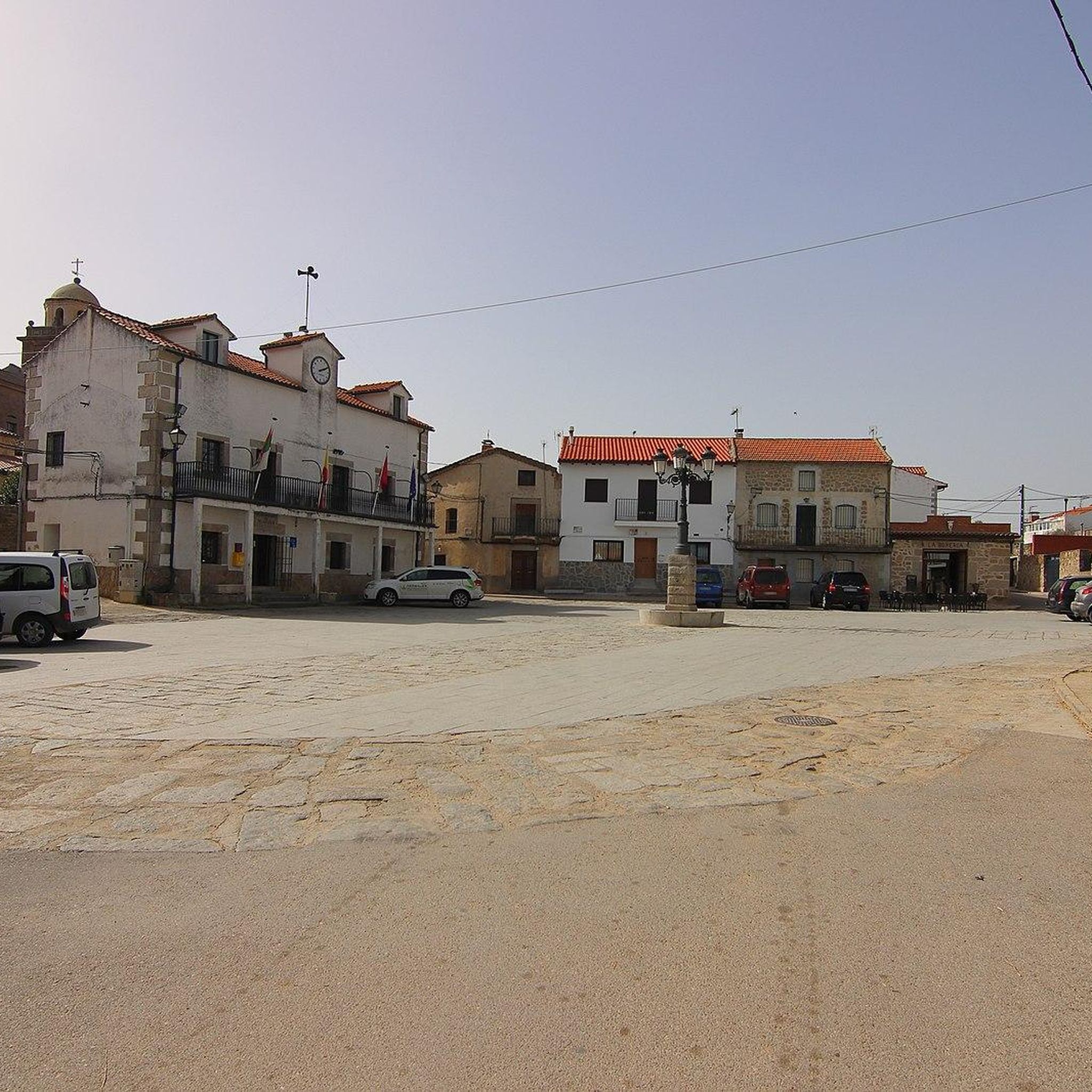
Cycling routes around Pelahustán can incorporate several interesting landmarks. You might pass by the historic Puente Mosquea, a medieval bridge of Roman origin over the Tiétar River. The demanding El Piélago Pass is a significant feature for cyclists, and you can also find the Main Square of Pelahustán itself. For cultural stops, consider routes near Castillo de Bayuela, which features the Rollo de Justicia of Castillo de Bayuela.
Are there any routes that offer panoramic views?
Yes, the region offers rewarding stops for expansive natural scenery. The San Vicente Hill (1320m) provides panoramic vistas of the Toledo area, including views extending to the Sierra de Gredos park and Alto Tiétar. Routes that climb towards higher elevations in the Sierra de San Vicente will offer similar scenic rewards.
What is the best time of year for touring cycling in Pelahustán?
The region generally offers a favorable cycling environment. While specific best times aren't detailed, the presence of natural vegetation like cork oaks, pines, and junipers can provide pleasant natural surroundings and potential shade during rides, suggesting spring and autumn might be ideal to avoid extreme summer heat.
Are there any circular touring cycling routes available?
Yes, many of the touring cycling routes around Pelahustán are designed as loops, allowing you to start and end in the same location. Examples include the difficult Puerto del Piélago – Santa María de la Nava loop from Garciotum and the Puente de los Molinos – Main Square of Pelahustán loop from Pelahustán.
What do other touring cyclists say about the routes in Pelahustán?
The touring cycling routes around Pelahustán are highly rated by the komoot community, with an average score of 5.0 stars. Over 250 touring cyclists have used komoot to explore the varied terrain, often praising the challenging nature of the routes and the natural beauty of the Sierra de San Vicente.
Are there any amenities for cyclists along the routes?
Yes, towns like Almendral de la Cañada, which are often part of or near cycling routes, offer practical amenities. You can find bars near the road and public fountains, which are ideal for refreshing stops during your tour.
How many touring cycling routes are there in Pelahustán?
There are nearly 30 touring cycling routes available around Pelahustán on komoot, offering a wide range of options for different preferences and fitness levels.
What is the longest touring cycling route in the area?
One of the longer and more challenging routes is the Puerto del Piélago – Santa María de la Nava loop from Garciotum, which spans approximately 65.8 km (40.9 miles) and typically takes around 4 hours and 35 minutes to complete.
Are the roads generally quiet for cycling in Pelahustán?
Cyclists can benefit from generally well-maintained roads in the broader Montes de Toledo area, which is noted for its 'roads with good firm and little traffic.' The development of new motorways in wider Spain has diverted heavy traffic, often leaving older main roads quieter and more enjoyable for cycling.
Can I combine cycling with cultural exploration in Pelahustán?
Absolutely. Many routes allow for cultural stops. For instance, the town of Castillo de Bayuela in the Sierra de San Vicente features historical monuments like the Gothic-Renaissance church of San Andrés and ancient Vettonian boars, providing cultural points of interest that can be incorporated into a touring route.
Most popular attractions around Pelahustán

Get inspired with the komoot mobile app


Explore more
Browse the best Cycling routes in other regions.
