The 3 Most Amazing Peaks around Colmenarejo
Best mountain peaks around Colmenarejo are found within the Sierra de Guadarrama, a region characterized by its granite formations and extensive forests. Colmenarejo serves as a base for exploring these diverse mountainous landscapes and viewpoints. The area offers a blend of natural beauty and outdoor activities, with numerous hiking routes available. This region provides access to notable peaks and natural attractions, offering panoramic views.
Best mountain peaks around Colmenarejo
- The most popular mountain peaks is Mount Abantos, a summit that belongs to the Sierra de Guadarrama and is one of the most classic and popular hiking trails in the Community of Madrid. It offers good views from the summit after an easy ascent along the GR-10.
- Another must-see spot is Bear Cave, a natural monument and peculiar rock formation in the Bosque de la Herrería. This site is located on a popular hiking trail, close to the Chair of Philip II.
- Visitors also love Cabeza Aguda, a summit and promontory in the municipality of Colmenarejo. This location offers views of the surrounding landscape.
- Colmenarejo is known for its diverse summits, viewpoints, and natural monuments. Visitors can explore a variety of granite formations and forested trails.
- The mountain peaks around Colmenarejo are appreciated by the komoot community, with 134 upvotes and 58 photos shared.
Last updated: October 30, 2026
Mount Abantos
Highlight • Summit
Translated by Google •
Tip by

Bear Cave
Highlight • Natural Monument
Translated by Google •
Tip by

Sign up now to discover places like this
Get recommendations on the best single tracks, peaks, & plenty of other exciting outdoor places.
Cabeza Aguda
Highlight • Summit
Translated by Google •
Tip by

Monte El Paredón
Highlight • Summit
Translated by Google •
Tip by

Cerro del Madroñal Summit and Viewpoint
Highlight • Summit
From this height, where there is also an uninhabited house, we can see several points of interest, such as the city of Madrid, El Escorial or Abantos, or part of the Guadarrama mountain range, among which the peaks of La Maliciosa stand out, Iron Heads or Seven Peaks.
Translated by Google •
Tip by

Start today with a free account
Your next adventure awaits.

Tips from the Community

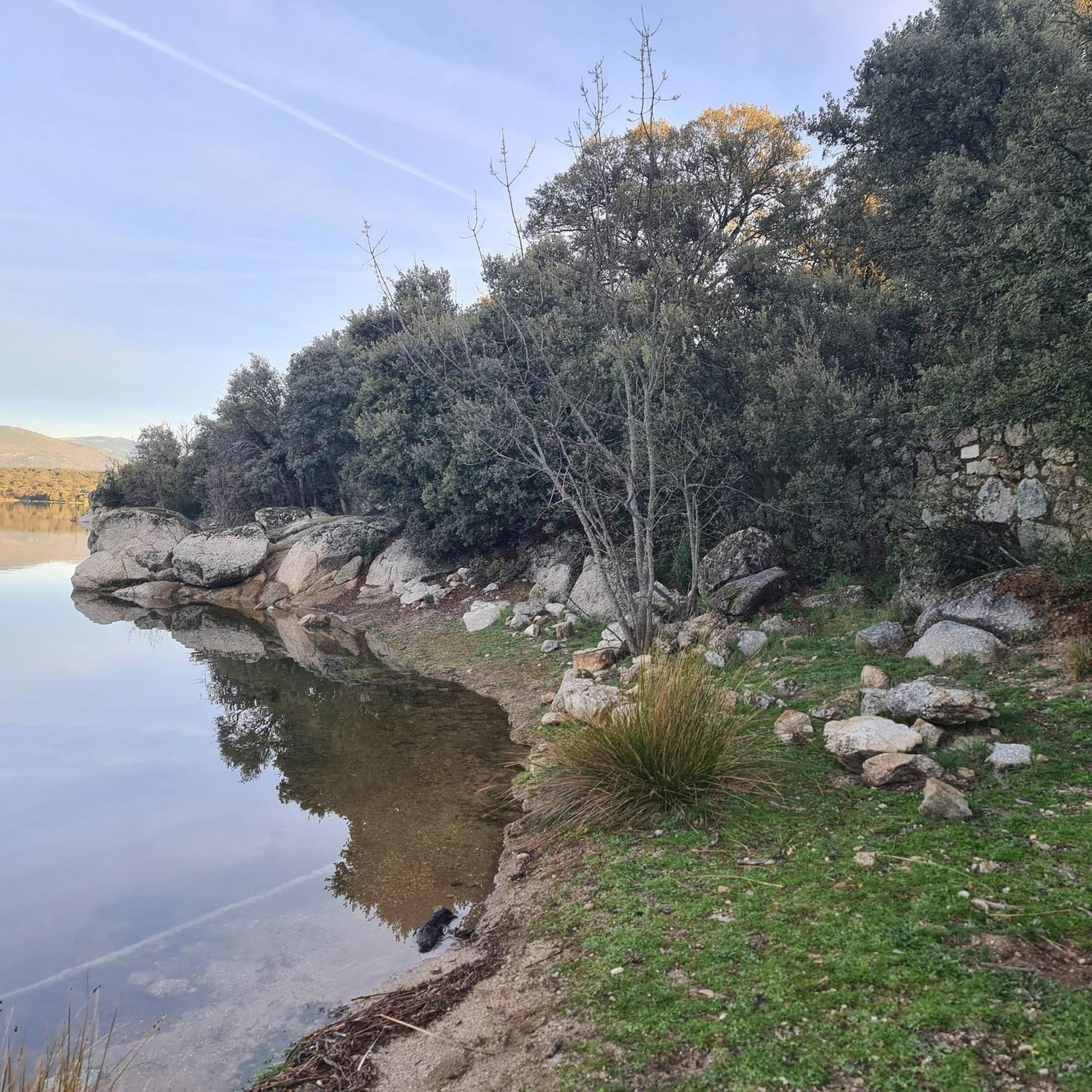
The route is a bit tough at the beginning due to the ascent to Pico de Abantos, which has an elevation of 1730 m, but the sacrifice is worth it because the views from the geodesic vertex are spectacular, really beautiful. A luxury of a landscape. And it runs almost all the time under shade, which is appreciated on the dates I did it 30-8-2026.
0
0

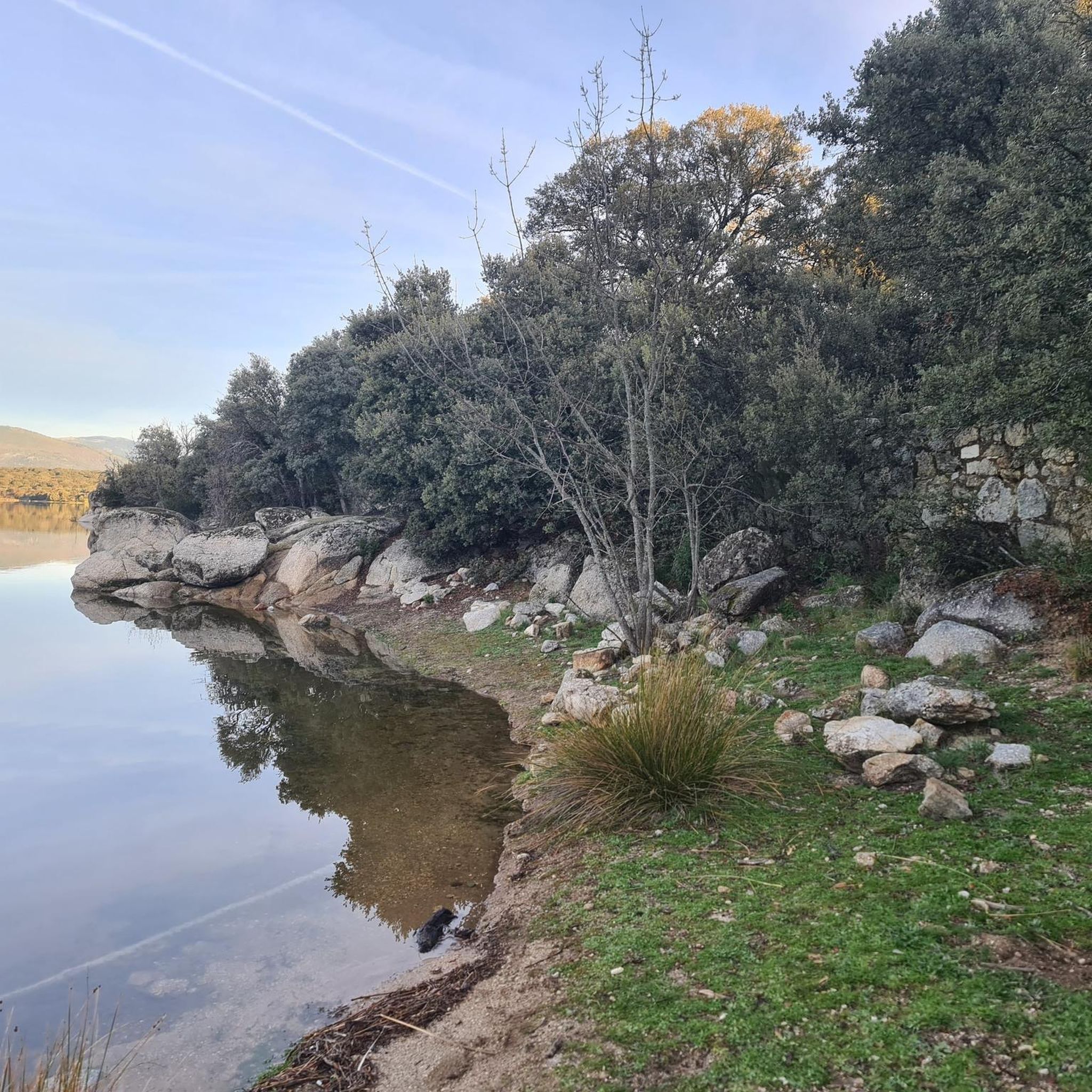
Very steep and demanding climb up the Paredón mountain
0
0

The Bear Cave in San Lorenzo de El Escorial is not a real, deep cave in the geological sense, but rather a peculiar rock formation in the Bosque de la Herrería. It is a natural cavity formed by the arrangement of large granite boulders that create a kind of shelter or "cave." It is located in the Bosque de la Herrería, a protected natural area declared a UNESCO World Heritage Site. It is on a very popular hiking trail, relatively close to the Chair of Philip II and the Fuente de los Hermanitos. Its name comes from the fact that its shape and size might evoke the idea of a bear's den, although no real bear ever lived there. Rather, it is a visual attraction, especially for children. Beyond being a "real" cave, it is a point of interest on the hiking trails in the Bosque de la Herrería.
0
1

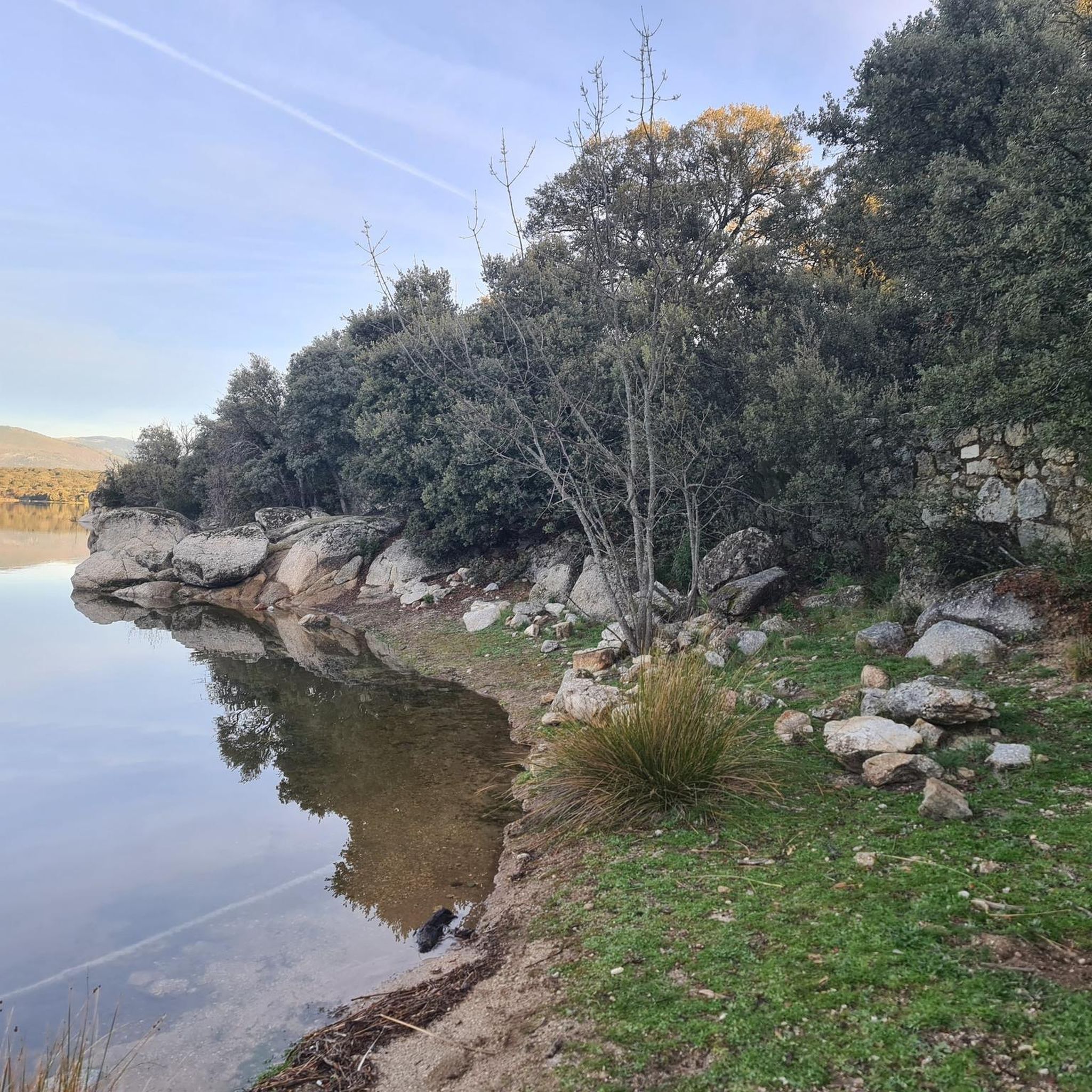
Hard and rocky terrain, but with fantastic views.
0
0

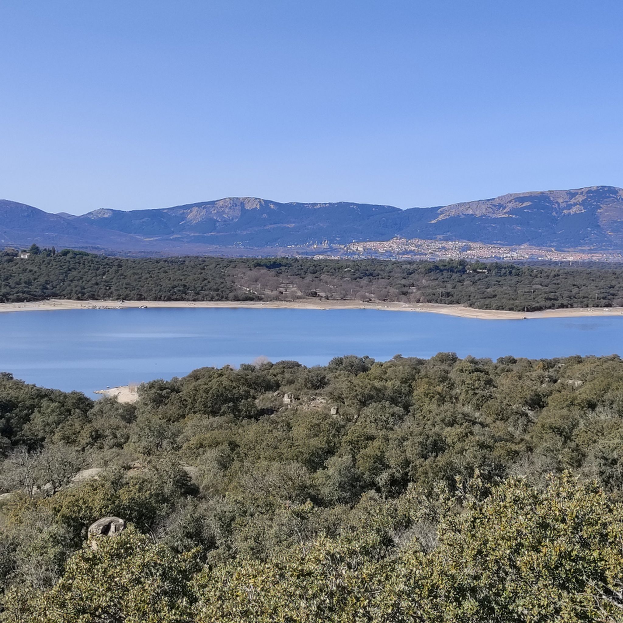
At this modest elevation of 846 meters above sea level you will find a geodesic vertex and beautiful views of the landscape that surrounds you, which can be seen without problem due to the height of this projection, caused by a notable vein of quartz. From this height, where there is also an uninhabited house, we can see several points of interest, such as the city of Madrid, El Escorial or Abantos, or part of the Guadarrama mountain range, among which the peaks of La Maliciosa stand out, Iron Heads or Seven Peaks.
1
0

Great view over San Lorenzo and all the way to Madrid
0
0

One of the classic peaks of the Guadarrama mountain range. Easy ascent along the GR-10 and good views from the summit.
4
1

Mount Abantos is the main summit of the morphological block of the Sierra de Malagón, the geological structure that constitutes the main element of transition between the Sierras de Guadarrama and Gredos. The summit is a good panoramic point of the tectonic trenches of different amplitudes that extend towards the Tagus basin from the Santa María de la Alameda fault, one of the main Hercynian thrusts in the area, and the small granite horst of Las Machotas. The western slope of the Abantos does not really exist. The "back" of the mountain is a narrow plateau or inclined plane modeled by erosion surfaces that have produced very pronounced lateral slopes where the headwaters of the mountain ravines fit.
5
1
Frequently Asked Questions
What are some of the most popular mountain peaks to explore around Colmenarejo?
The region around Colmenarejo, particularly the Sierra de Guadarrama, offers several notable peaks. Mount Abantos is a classic hiking destination known for its panoramic views. Other significant peaks include Peñalara, the highest in the Sierra de Guadarrama, and Siete Picos, recognizable for its distinctive silhouette. For a local challenge, consider Cabeza Aguda, which offers great views over Colmenarejo.
What is the typical terrain and difficulty level for hiking mountain peaks near Colmenarejo?
The terrain around Colmenarejo's peaks often features granite formations, pine forests, and rocky paths. While some ascents like Monte El Paredón can be steep and demanding, many trails offer moderate challenges. Peaks like Mount Abantos provide a good balance of physical challenge and rewarding scenery, often with well-defined paths like the GR-10.
Where can I find the best viewpoints of the surrounding landscape near Colmenarejo's peaks?
Many peaks offer excellent viewpoints. Mount Abantos provides spectacular vistas, including the historic Monastery of El Escorial. Cerro del Madroñal Summit and Viewpoint offers beautiful views of Madrid, El Escorial, and parts of the Guadarrama mountain range, including La Maliciosa and Siete Picos. La Silla de Felipe II, though not a peak, is a renowned historical viewpoint with direct views of the Monastery.
What unique natural features can I expect to see when exploring the mountains around Colmenarejo?
The Sierra de Guadarrama, accessible from Colmenarejo, is characterized by its unique granite rock formations, extensive pine forests, and ancient oak groves. You might also encounter diverse wildlife, including Iberian ibex and various bird species. The Bear Cave, a peculiar rock formation in the Bosque de la Herrería, is another interesting natural feature.
Are there any historical landmarks or unique sites near the mountain peaks around Colmenarejo?
Yes, the region is rich in history. Near the peaks, you can visit La Silla de Felipe II, a historical viewpoint carved into granite, offering views of the magnificent Monastery of El Escorial. The Bosque de la Herrería, where the Bear Cave is located, is a protected natural area and a UNESCO World Heritage Site, adding a historical and cultural layer to your outdoor adventure.
Are there family-friendly mountain peaks or trails suitable for children near Colmenarejo?
While many peaks offer challenging routes, some areas provide more accessible options. The trail leading to the Bear Cave in the Bosque de la Herrería is considered family-friendly and offers an interesting visual attraction for children. Generally, routes to viewpoints like La Silla de Felipe II are also accessible for families.
Can I bring my dog on trails to the mountain peaks around Colmenarejo?
Many trails in the Sierra de Guadarrama and around Colmenarejo are dog-friendly, allowing you to enjoy the natural beauty with your canine companion. However, it's always advisable to check local regulations for specific areas, especially within national park boundaries, and ensure your dog is kept on a leash for their safety and to protect wildlife.
What is the best time of year to hike the mountain peaks around Colmenarejo?
The best time to hike the mountain peaks around Colmenarejo is generally during spring and autumn when temperatures are milder and the landscapes are vibrant. Summer can be hot, especially at lower elevations, so early mornings are recommended. Winter offers challenging but rewarding experiences for experienced mountaineers, particularly on higher peaks like La Maliciosa, but requires appropriate gear and caution.
Beyond hiking, what other outdoor activities can I do near the mountain peaks of Colmenarejo?
The area around Colmenarejo is excellent for various outdoor activities. You can find numerous routes for cycling, including traffic-free bike rides and more challenging MTB trails. Explore options like the "Retamar Bridge – El Paredón and Río Chico loop" or "The Seven Gates – Valmayor Reservoir loop." For more details, check out the guides on Traffic-free bike rides around Colmenarejo, Cycling around Colmenarejo, and MTB Trails around Colmenarejo.
How accessible are the mountain peaks around Colmenarejo, and is parking available?
Colmenarejo serves as a convenient base for accessing the Sierra de Guadarrama. Many trailheads for peaks like Mount Abantos and those in the Bosque de la Herrería are reachable by car, and parking is generally available near popular starting points. Public transport options might be limited directly to some remote trailheads, so checking specific route access is recommended.
What do visitors enjoy most about exploring the mountain peaks near Colmenarejo?
Visitors consistently praise the spectacular views from the summits, the diverse landscapes ranging from granite formations to dense pine forests, and the rewarding challenge of the hikes. The blend of natural beauty with historical elements, such as the views of El Escorial, also adds to the appeal. The tranquility and rich biodiversity of the Sierra de Guadarrama are frequently highlighted as major draws.
Most popular routes around Colmenarejo
Most popular attractions around Colmenarejo

Get inspired with the komoot mobile app


Explore more
See even more amazing summits around Colmenarejo with these guides:
